We leave from lhokseumawe to baner meriah by motorcycle, the journey is about 5 hours, while for logistics we have prepared when we in bireun
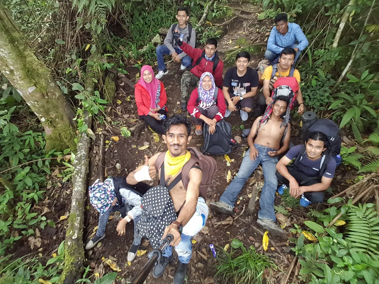
When we got there we immediately signed up for climbing, through pintu rimba we finally arrived at selter 1 to take drinking water supply and rest a moment
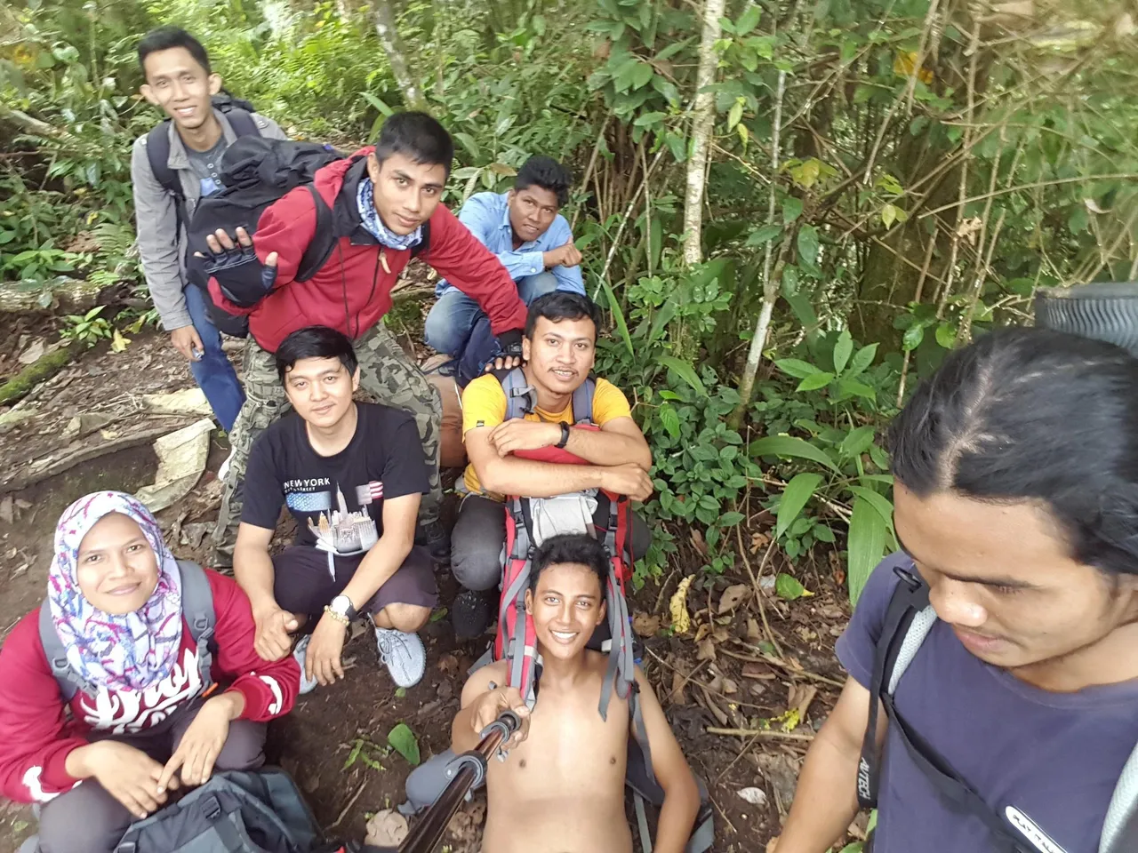
We continue our journey towards shelter 2, where we rest about 10 minutes before proceeding to shelter 3
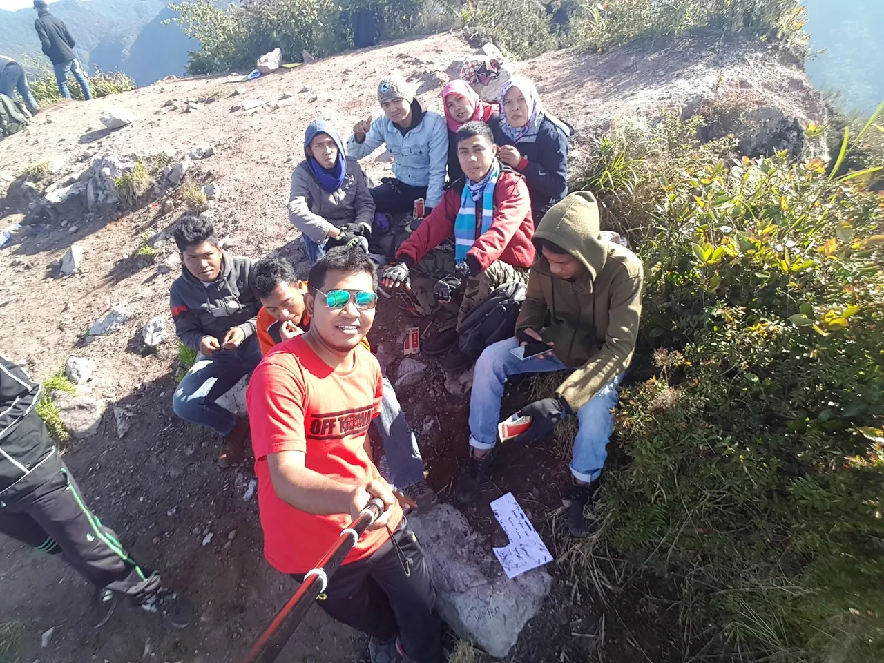
In shelter 3 we set up a tent for overnight, the morning at about 3 am we went directly to the summit to see the sun drift
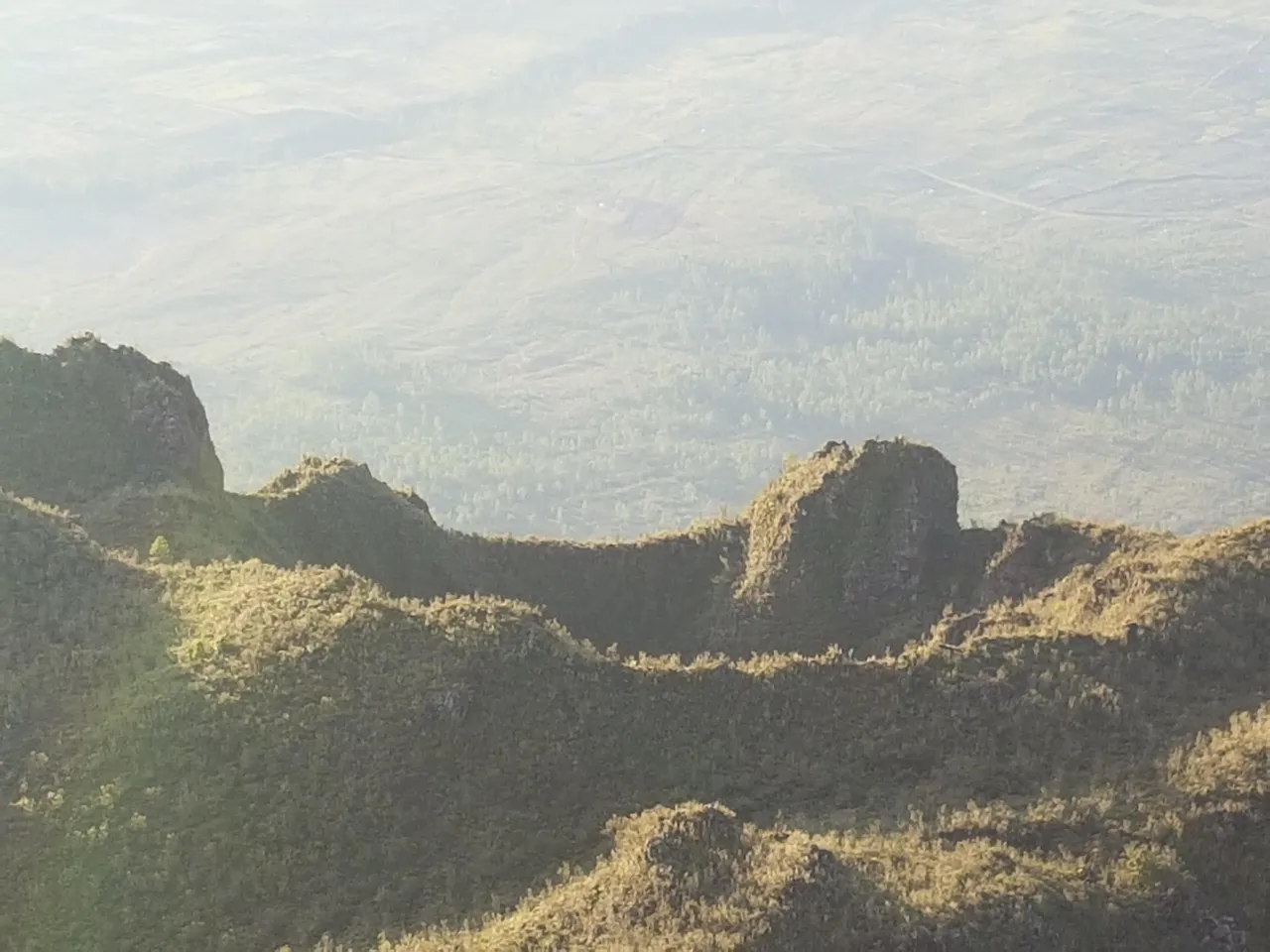
Mount Geureudong or Bur ni Geureudong or Bur ni Telong is a stratovolcano mountain in the province of Aceh, Indonesia. The official name for this volcano complex is still a debate, due to Bur Bur Ge Geiong and Bur ni Telong's nearby positions. Two volcanic cones named Salah and Pepanji are the hills of sediment. [2] Bur ni Geureudong has been landslide since Pleitosin, but has Fumaroles and Hot springs on the slopes. Bur ni Telong is located just south of Bur ni Geureundong. Bur ni Telong has an active crater that still has lava on the southern slopes of the mountain
Its height is 2,885 m (9,465 ft)
Mount Geureudong is the name of the mountain by the Aceh Tribe, while Burni Telong is called by the Gayo tribe