This was our first full-serious trekking day. We woke up at 6 AM as planned, but failed leaving camp on time. Plan was to start walking at 8 AM, we were about 15 minutes late.
And of course we got lost again! This time it wasn't navigation error, but we had low quality self printed black'n'white map, so we got trapped behind some river. At least, lesson learned and we saw a trail crossing this river about 200 meters upstream on the map. We went to check for a bridge, fortunately it was in place and we could continue.
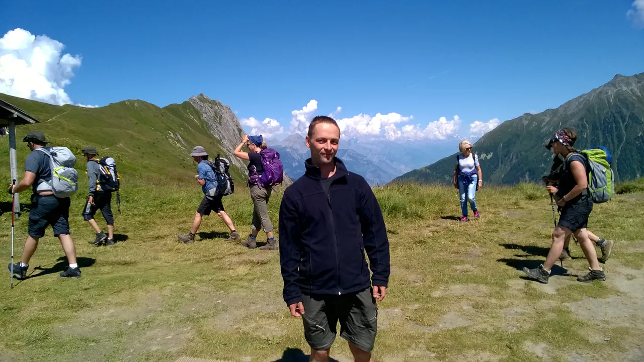
First two hours we walked on forest trails, where we met some early cyclists and runners. Sun was bright, sky was clear and weather was very hot, so we were lucky to walk in shadow, but eventually we arrived to Le Tour, to the end of treeline. So we made a longer refreshment pause, took some breath in last shadows and continued our ascent to our first mountain pass - Col de Balme.
Finally, after 5 hours on the trail we were on highest point on that day - about 2200 meters above sea level! This pass is also a border between France and Switzerland, and that means wild camping isn't forbidden for us any more, hurray!!
It was Sunday, so this place was full of crowds, but it was still nice to take a rest on windy place with awesome views:
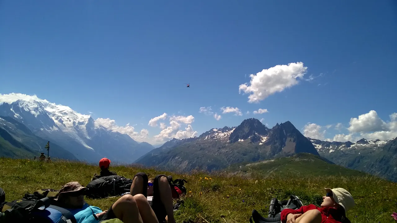
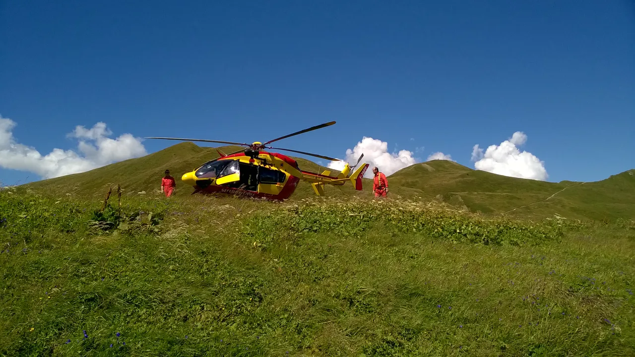
There is Mont Blanc on the left and can you guess, what is this tiny bug in middle of the sky?
The tiny bug came closer and transformed to rescue workers, who came for lunch'n'chill ;)
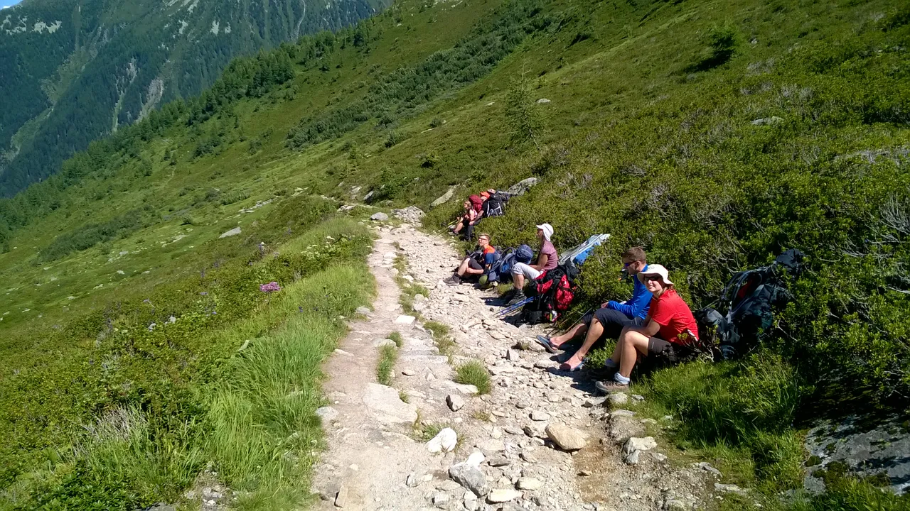
After long break on the pass we started our descent to finish the day. This took us another 3 hours, including some breaks to take the breath, because our backpack were still very heavy - they included all the gear we needed to survive for two weeks of mountain trekking.
Finally, 9 hours after leaving camping in Argentiere, we found ourselves in Le Peuty village on valley floor, there was our campsite waiting for us.
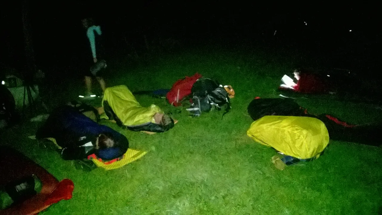
Our daily distance was 13,75 km, ascended about 1000 m and descended some 880 m. We were kind of exhausted, but our hardest days were still waiting for us. This was the night, when all of us slept under clear sky without pitching any tent!
Thanks for reading! Don't forget to upvote and follow me, if you like this topic, there is still 13 days to describe with pictures and the trail gets better on day by day! ;)