Back in quite hot August 2020, when everyone was sunbathing and cooling off by outdoor pools, I decided to hike in the mountains Malá Fatra, Slovakia. These mountains have two parts, divided by the river Váh. I went around the Lúčanská part. Krivánská Malá Fatra, there I hiked a month later after this hike 😁 Let's see how this two days hike went. I must admit it was one of my top hikes of 2020.
Mottos of this hike: Bears, Fluids, Heat, Blueberries.
DAY 1
It's August 8, 2020. The weather forecast uncompromisingly promises hot weather (28-35°C) and no rain whatsoever. This is good as no rain cover is needed, you can sleep in the open air without being worried of getting wet. On the other hand, when it is hot, more water is needed. Sometimes it may be problem if no source of water is around...
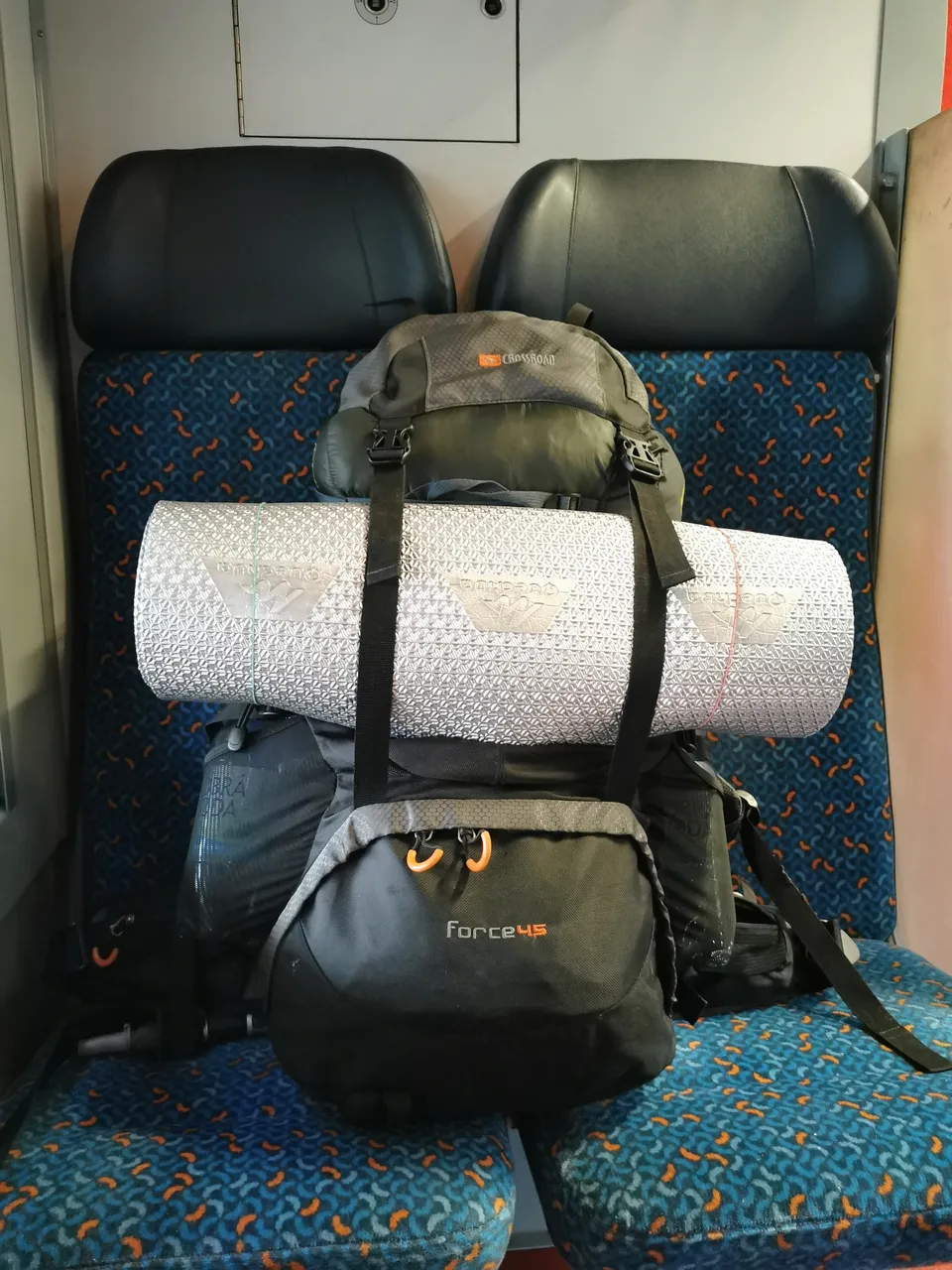
Backpack packed up: mat, hammock, sleeping bag, 6 liters of water, and some other stuff. Damn, it's heavy. My back is not used to it.
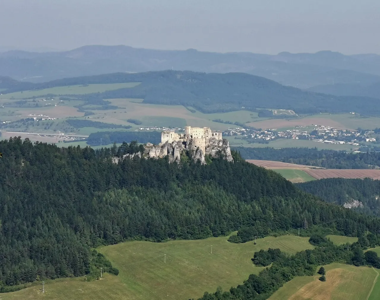
The journey starts at a small spa town Rajecké Teplice. Little climbing in this heat, it exhausts me unexpectedly. Luckily, first outlook - from the mountain Skalky (778 m.a.s.l.) - the Lietava Castle. Looks really nice!
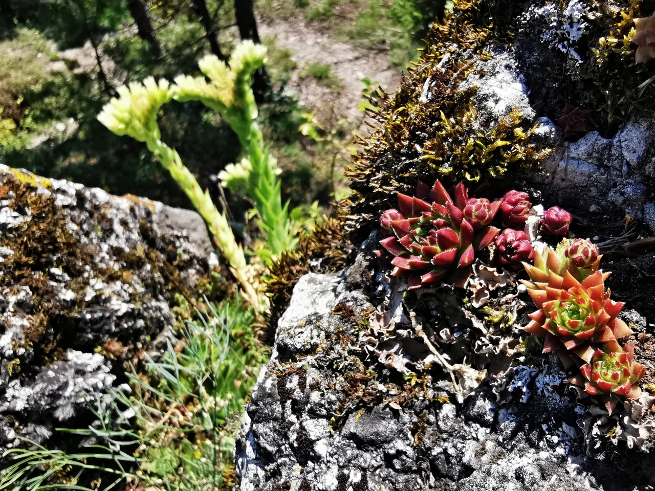
Rock plants at the rock Biela skala (771 m.a.s.l.).
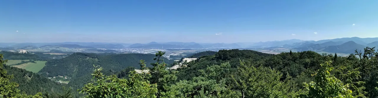
Panorama from the same rock. The beforementioned castle on the left, a city in the distance - Žilina.
Now end of this detour, finally towards the ridge! Passing this rill. Wonder where it ends...
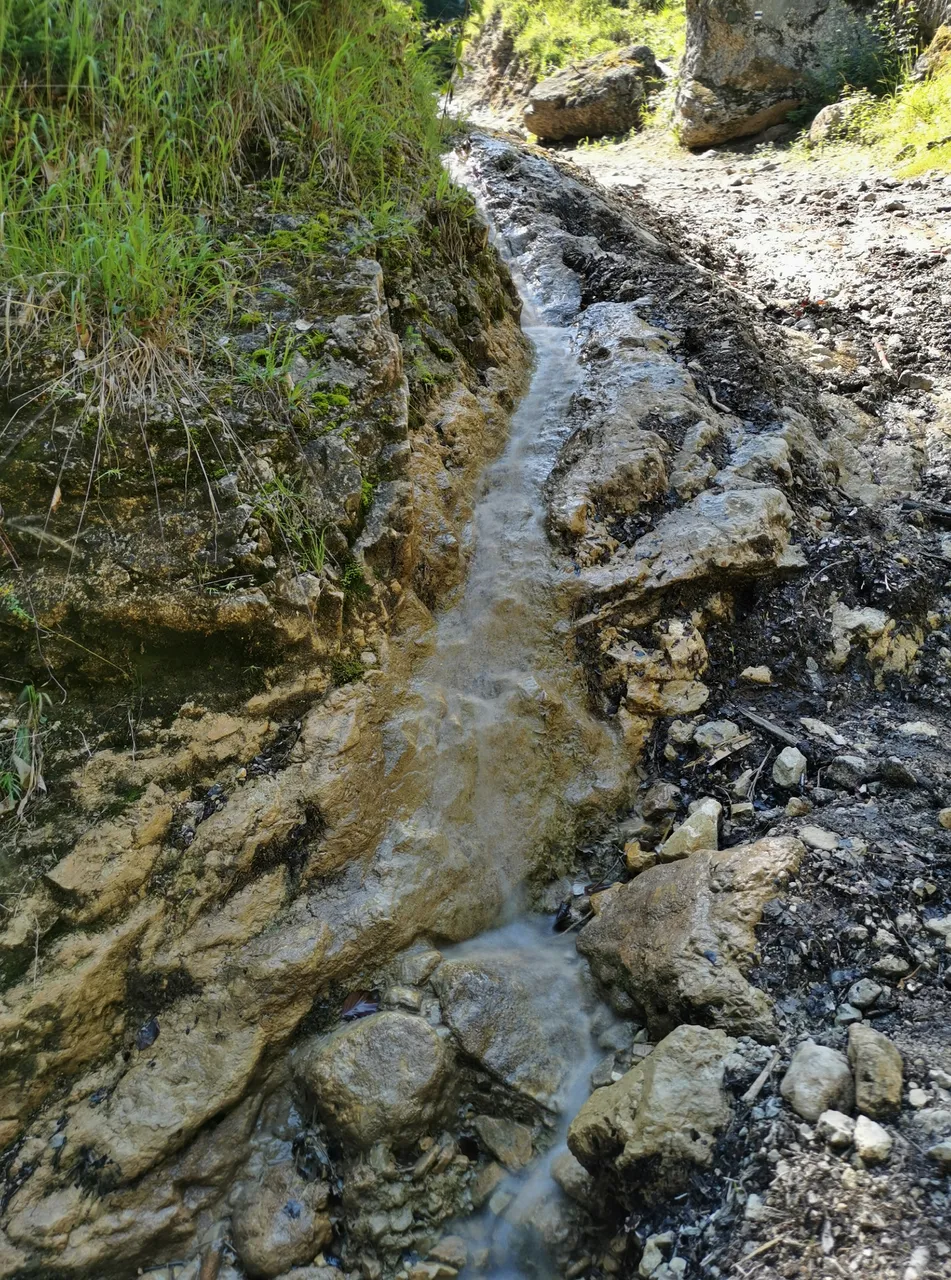
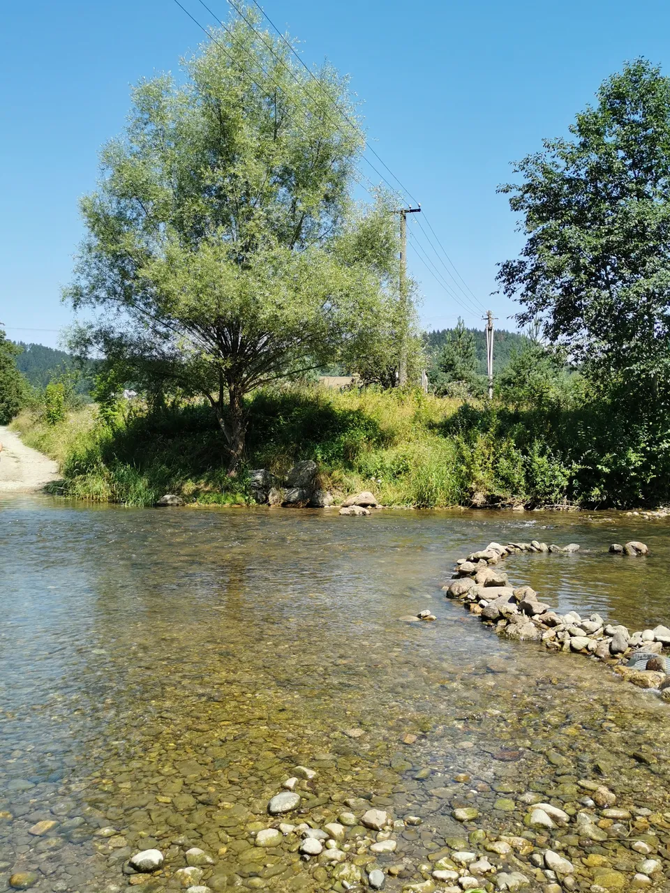
Oh, there it ends. Shoes off then!
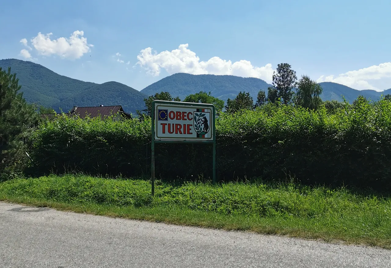
Now approaching Turie. A village which has in its municipality emblem a bear eating blueberries. Okay😀 In the background, the ridge!
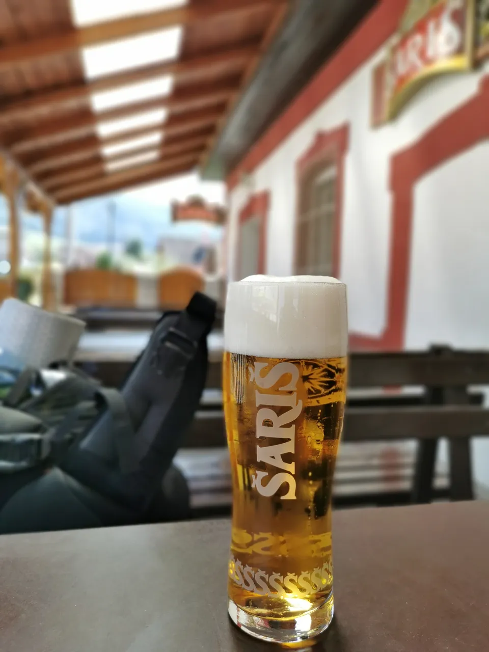
Too hot outside, having last extra fluids. Šariš, the largest Slovak industrial brewery. I am reassured by the waiting staff that this season there are more bears than usual. Okay😀
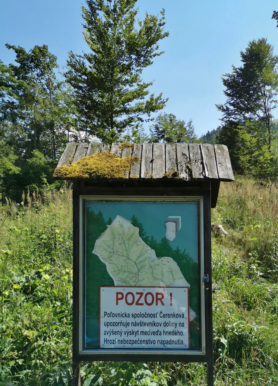
Caution! Increased occurrence of bears in this area. Nothing new, already know that!
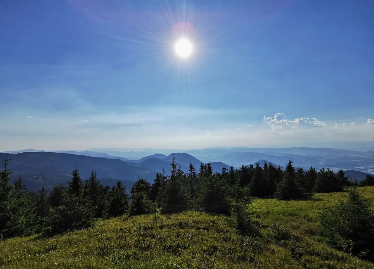
Awfully hot, emptied 2/3 of my water supply, still the rucksack is heavier with each walked kilometer. First panorama emerges. Almost at the peak!
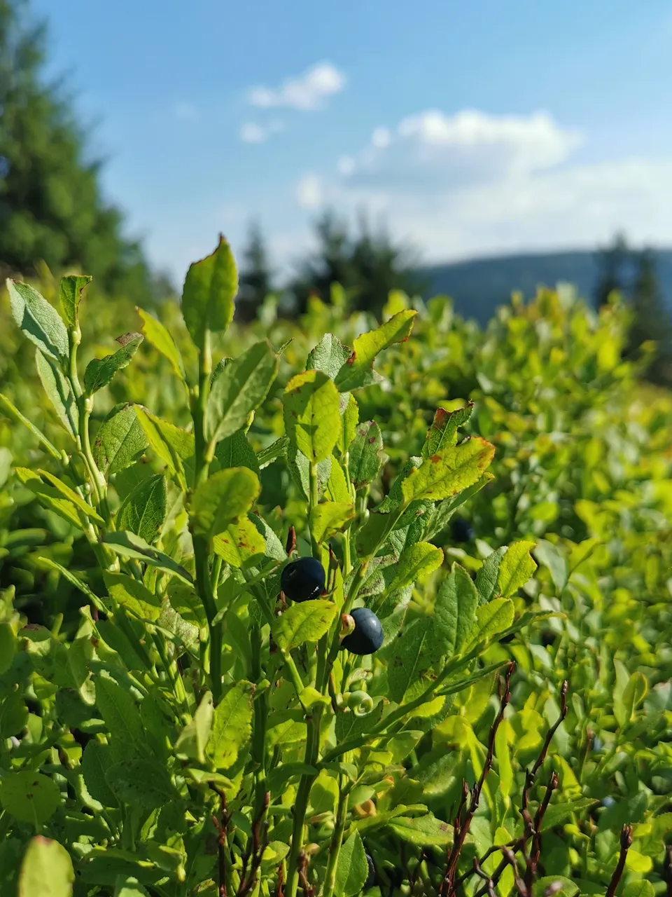
Here they are, the enchanting blueberries. So sweet and delicious, so turning your tongue to blue!
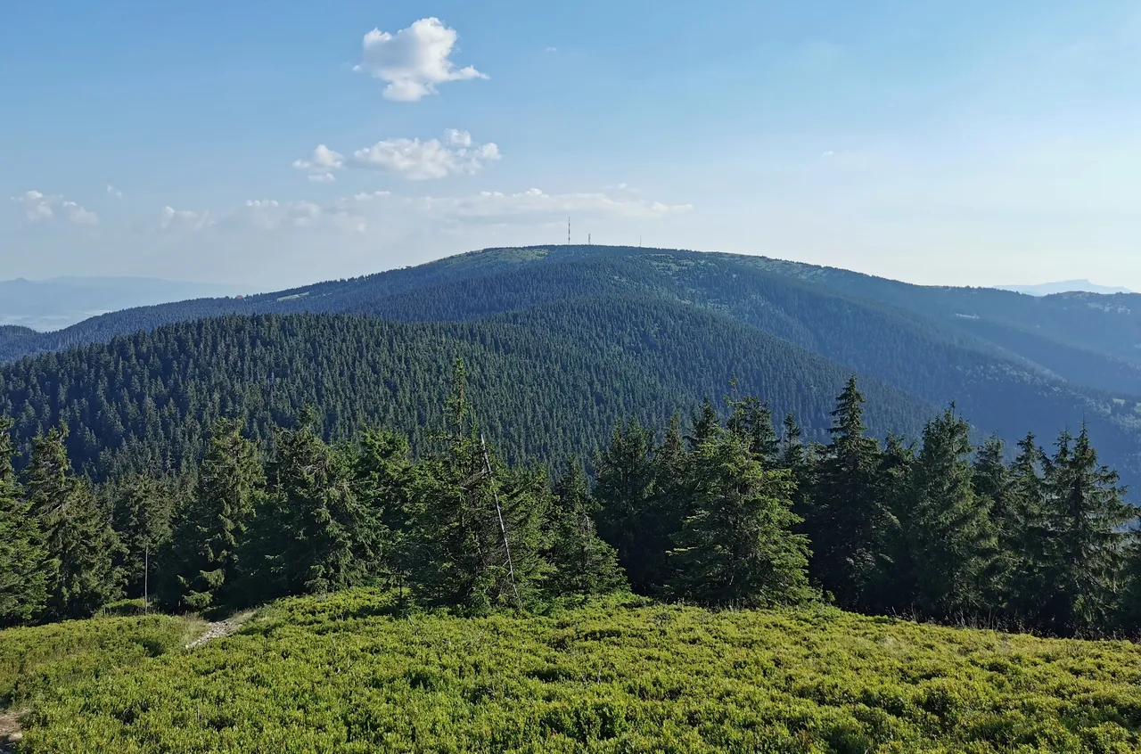
Now standing at the top of the mountain Minčol (1363 m.a.s.l.). Right in the middle of the picture, you can see two toothpicks, a pair of communications towers. Will be passing them shortly.
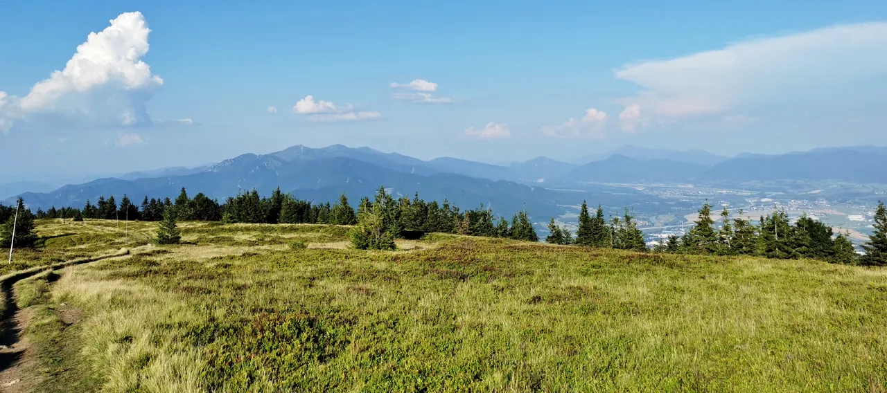
At last, panoramas! In this direction - Žilina (if not mistaken).
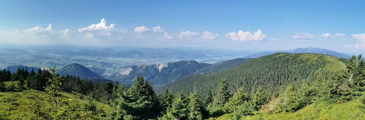
On the left side, behind the half-forested hill, yes, those higher mountains, those are Krivánská Malá Fatra. About time to move on!
Eyewink at Minčol.
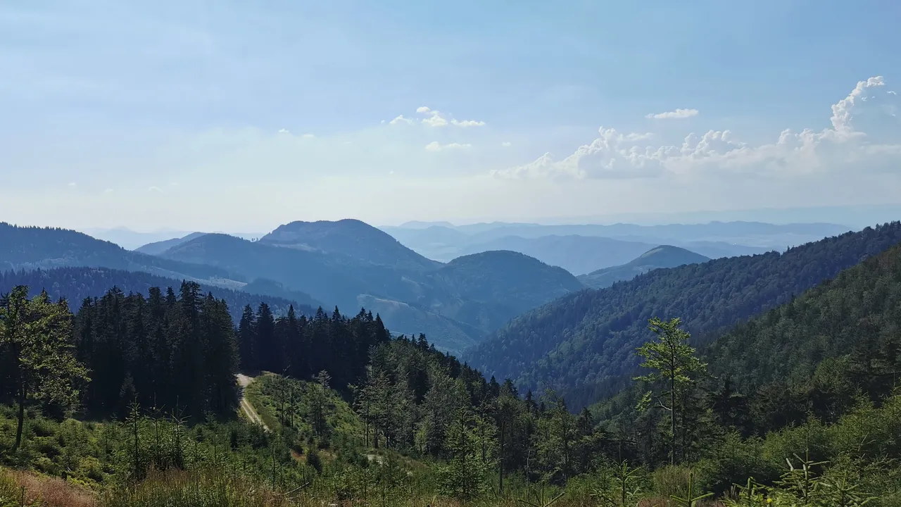
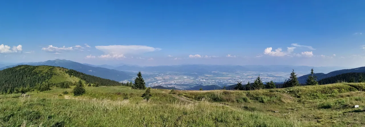
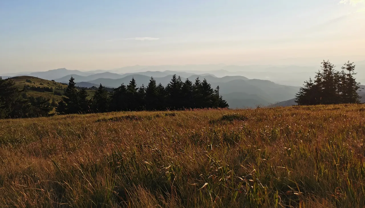
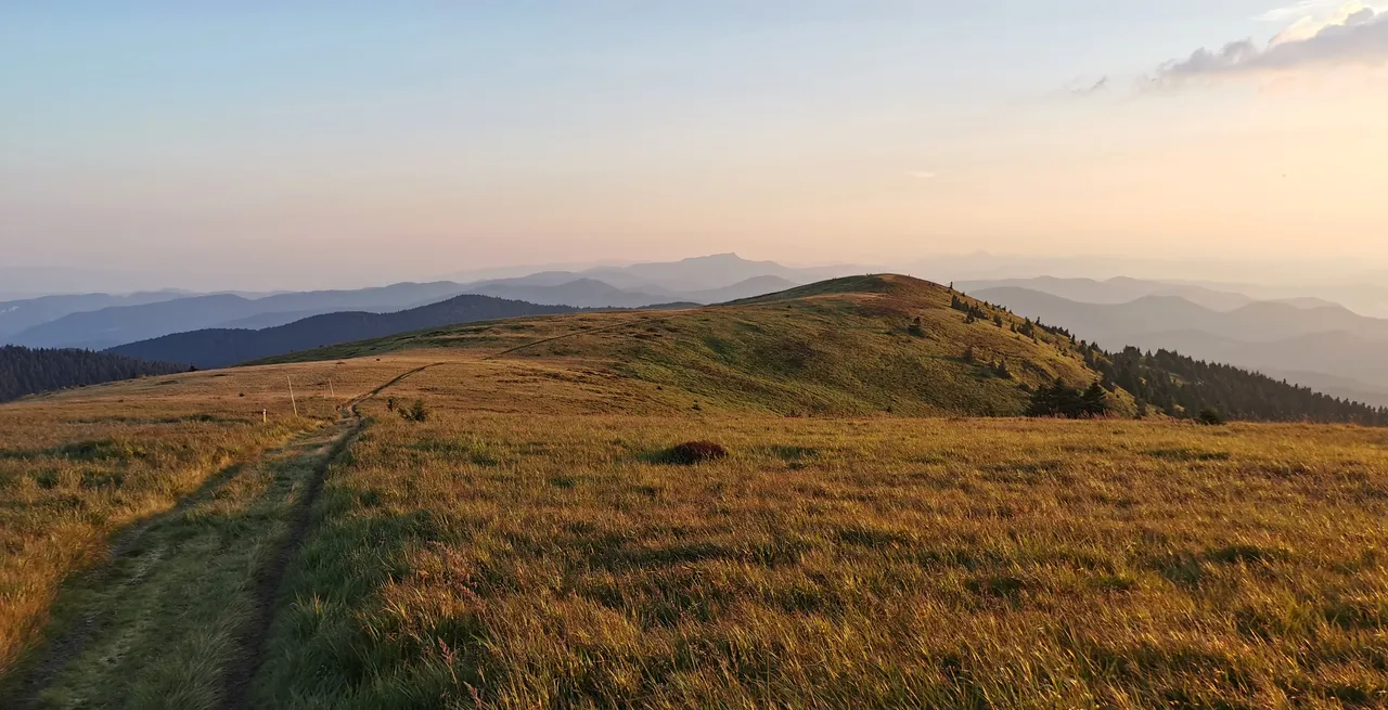
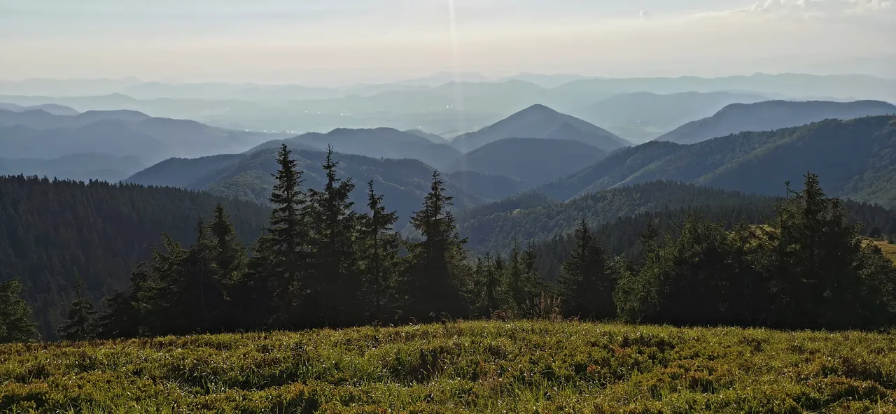
And now the glamorous range of mountains Krivánská Malá Fatra (in the distance).
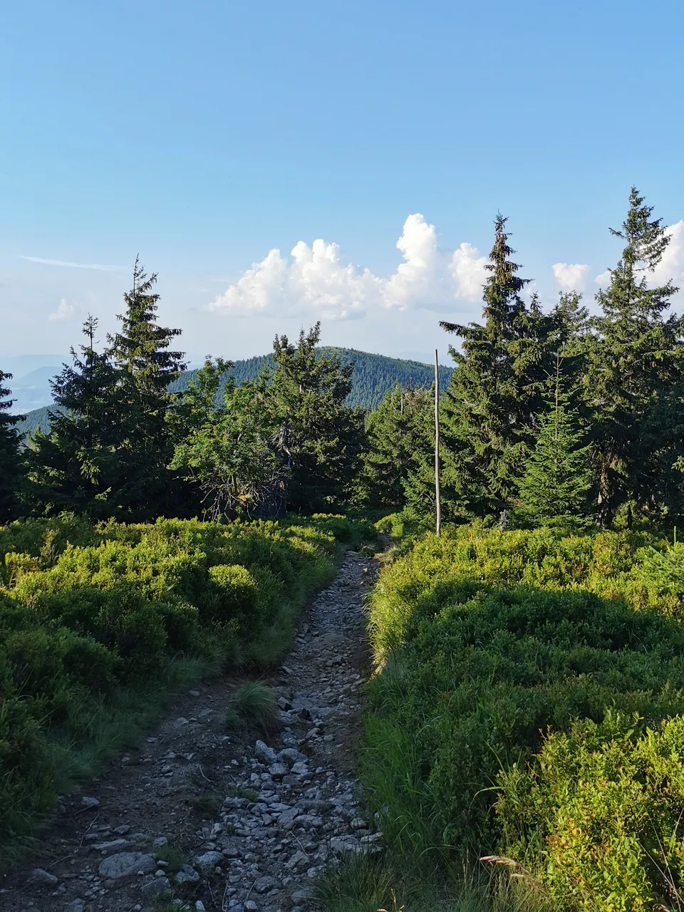
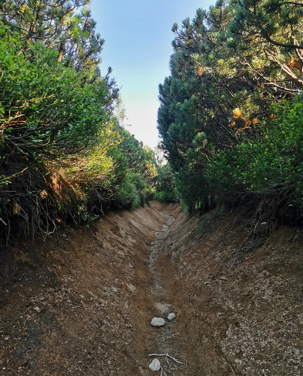
Oh, what a semi-tunnel!
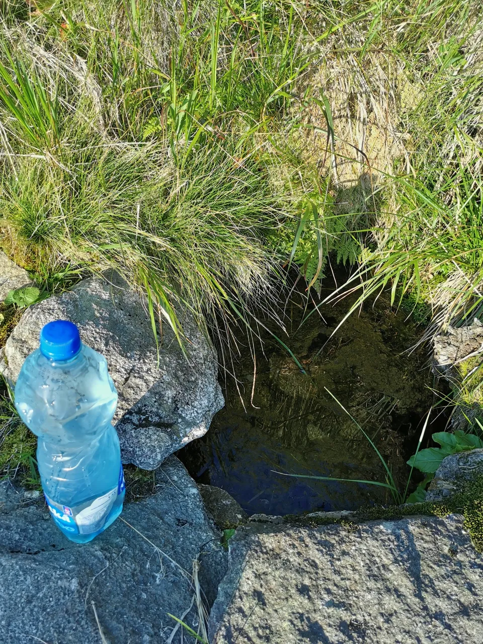
It is getting interesting now. It is 6 p.m., though still very hot. So, fluid intake is important, especially when doing physical activity (like hiking with heavy rucksack). I have barely 1 liter of water left. There is no chalet around, all near springs ran dry, except for this one close to the mountain Veľká Lúka (1475 m.a.s.l). By the way, do you recall those two communications towers? This is the mountain where the two are located.
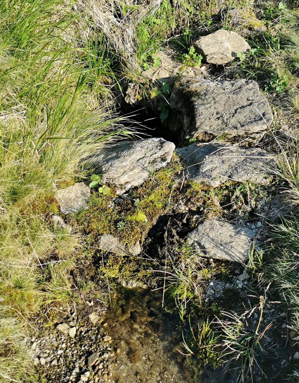
Well, there is no other way, have to fill this up after I clean the water surface, at least to trick my eyes 😆
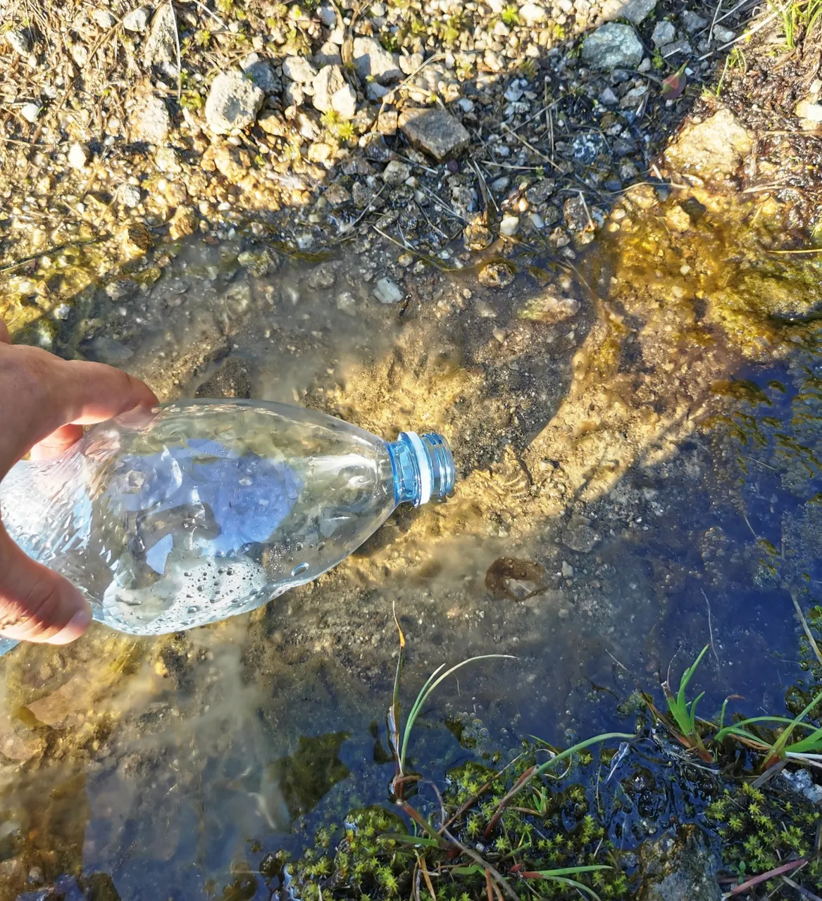
Can't wait to take a gulp of this cold and fresh mountain water! I better keep it for tomorrow's all day hike, after all still having some water left for today. Refilled, marching on!
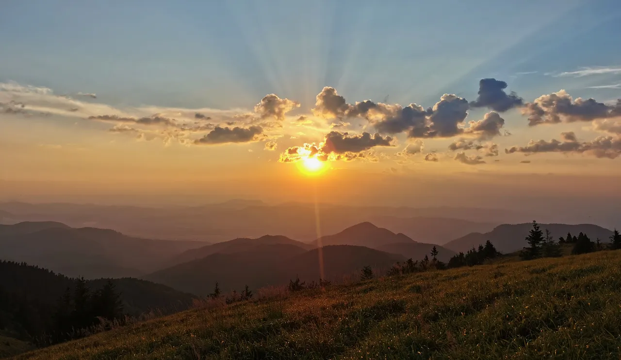
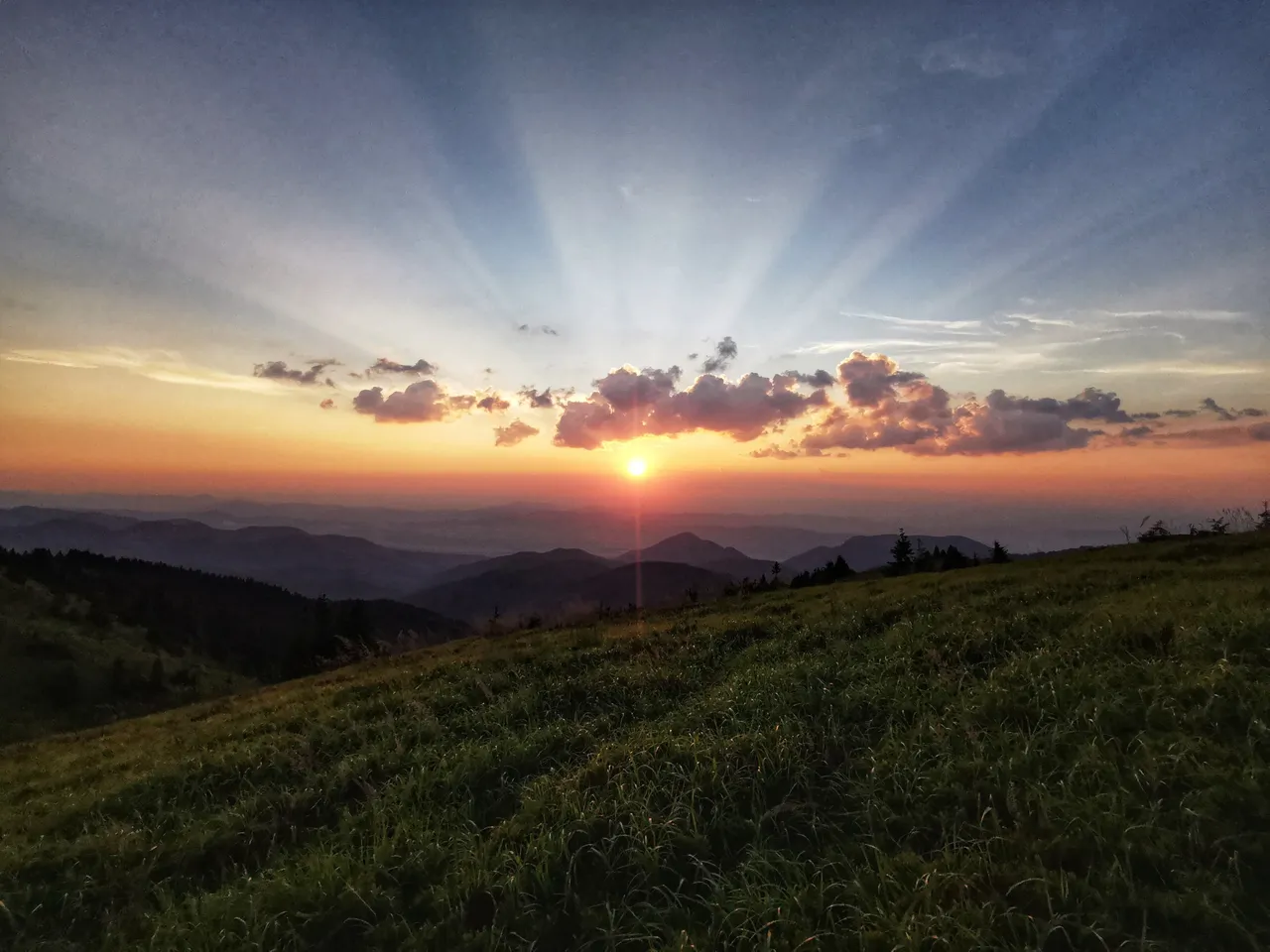
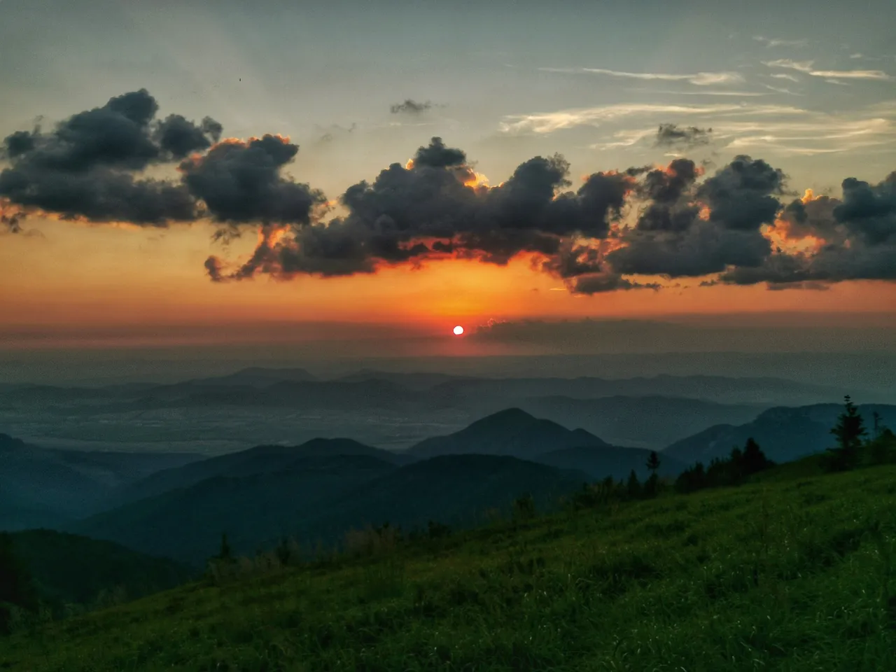
Sun is going down, need to catch its last sun rays to dry my sweat-drenched... everything. Caught a tick there ☹️
Simply adore this landscape!
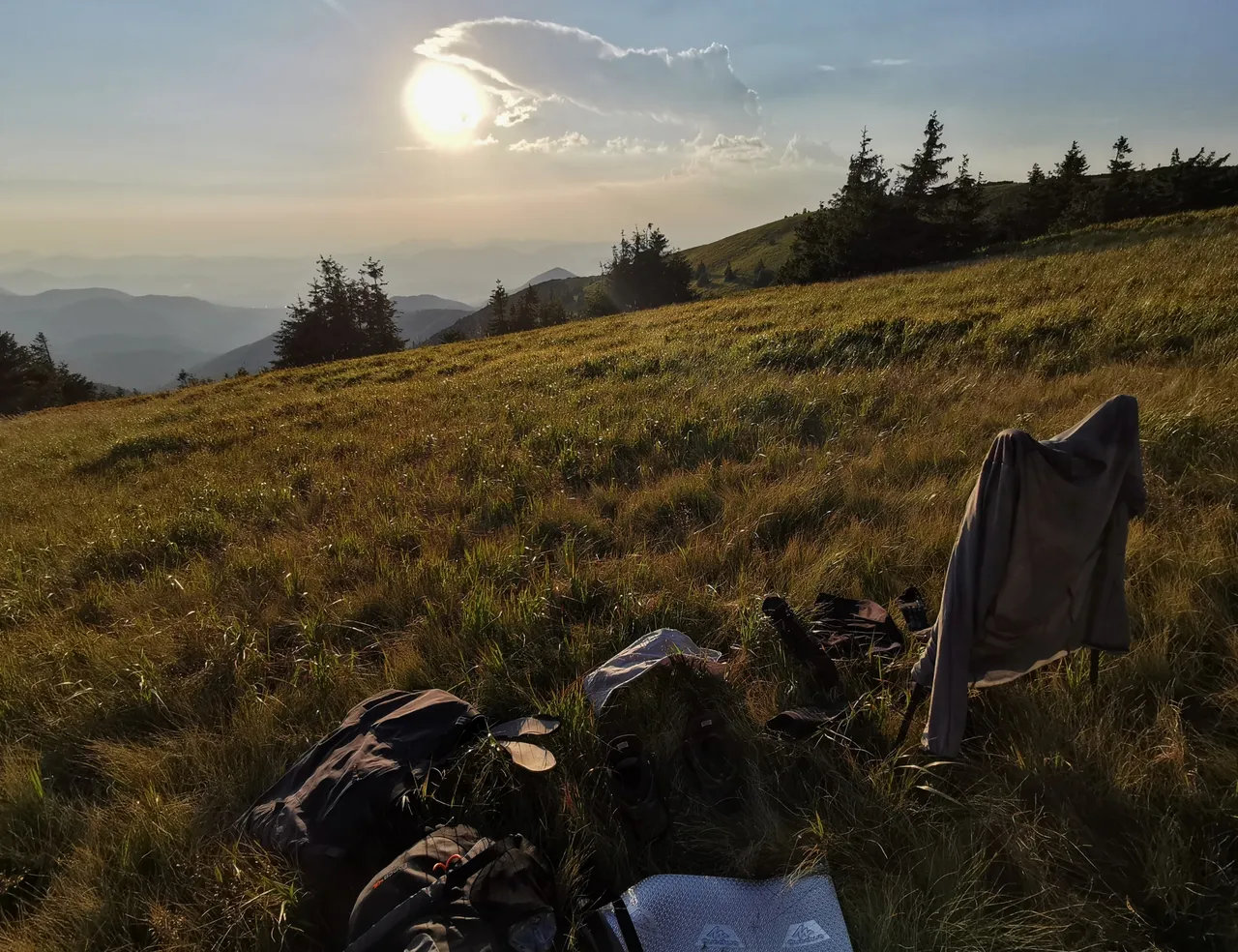
A hill not far from here is called Veterné (1441 m.a.s.l.). Now need to find a place where to stay overnight. The original idea was to sleep in a hammock. But how to achieve it if there are no full-grown trees 😂
Enjoying last sun-rays.
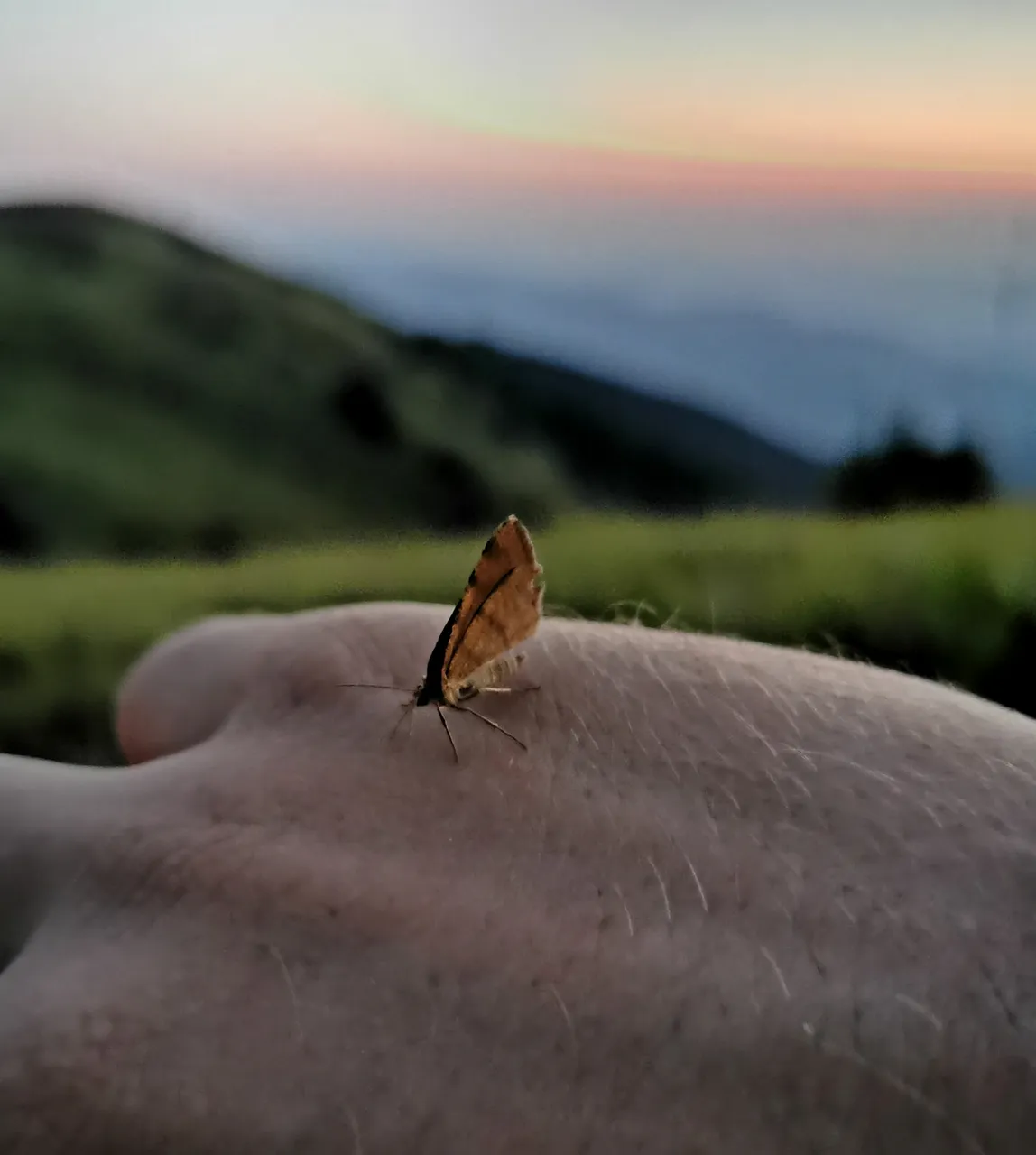
No trees => no hammock, have to lie on the ground (=mat). It is 9 p.m. and I am covered by butterflies like this one.
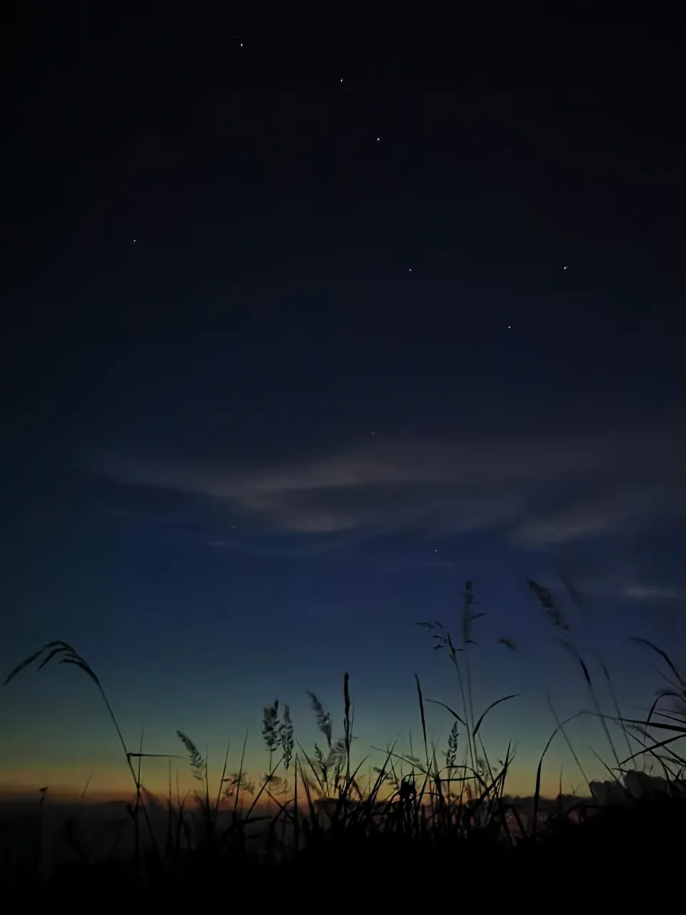
Time to go bed now. The Big Dipper. See you tomorrow. Or maybe not (=>bears)? 😱
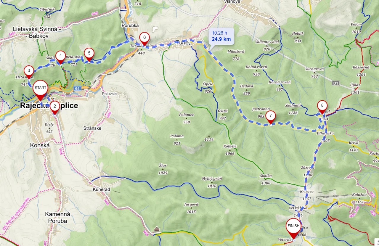
Trail of the hike:
↑1690m (The detour gave me a hard time. Bad planning, too ambitious trail for such extra hot day.)
↓800m
Thank you for reading this post. If you like it, consider following my blog or stay tuned as report from the second day of this hike will definitely come 😁 And don't forget to check out my Pinmapple profile to see all places I have visited on the map! See you on the trail 😉