Spent most of the day walking back to where I'd left my car at the Bundaleer Reservoir yesterday morning
Started along Paige's Hill Road
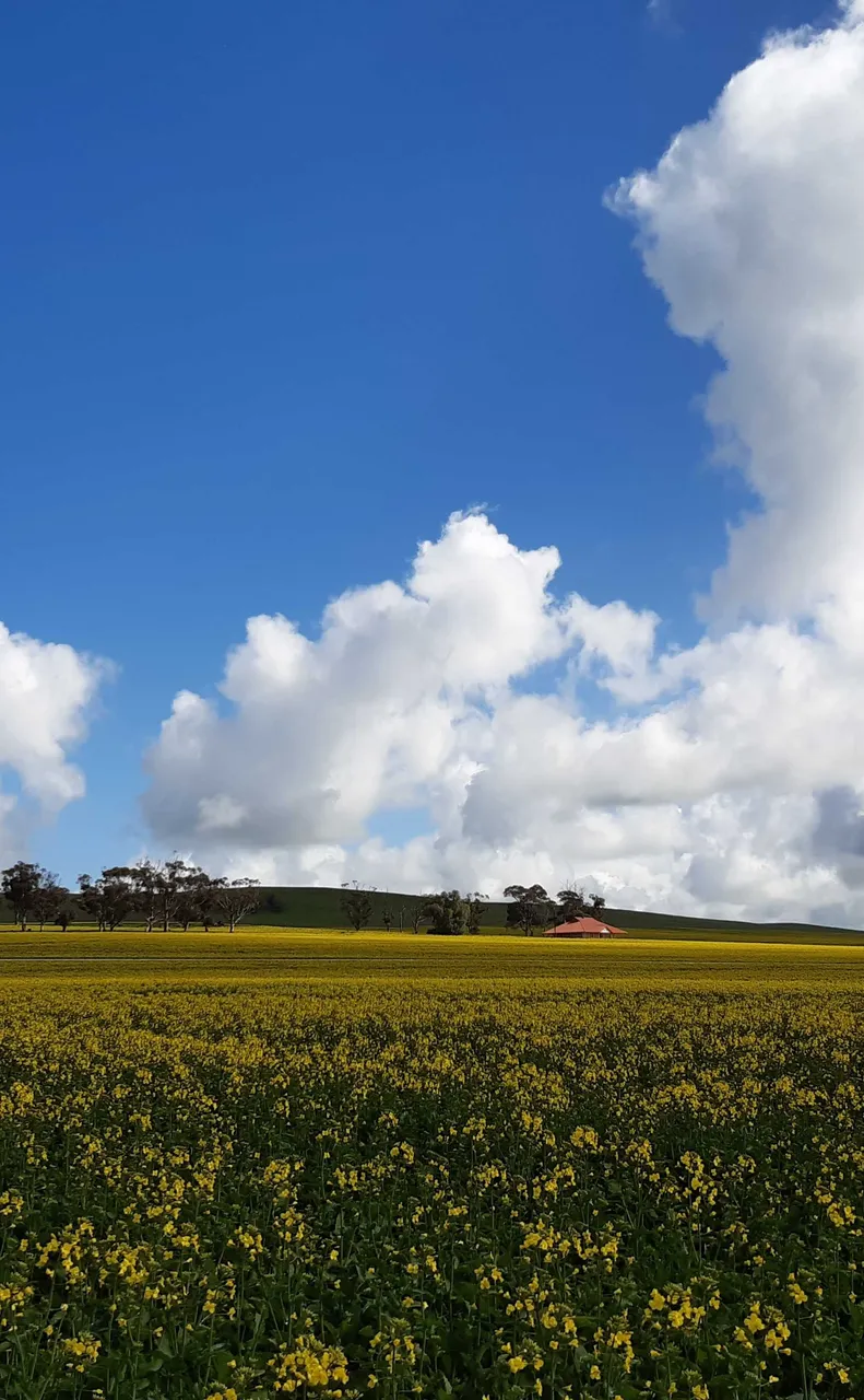
Passed a red house on a hill, surrounded by Canola
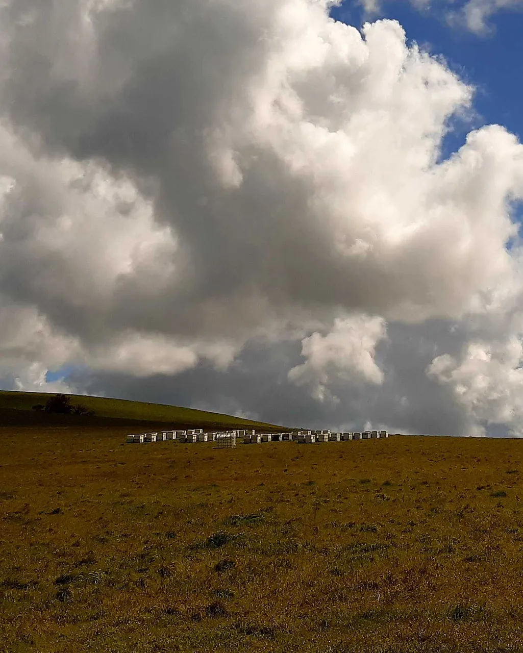
Passed some beehives
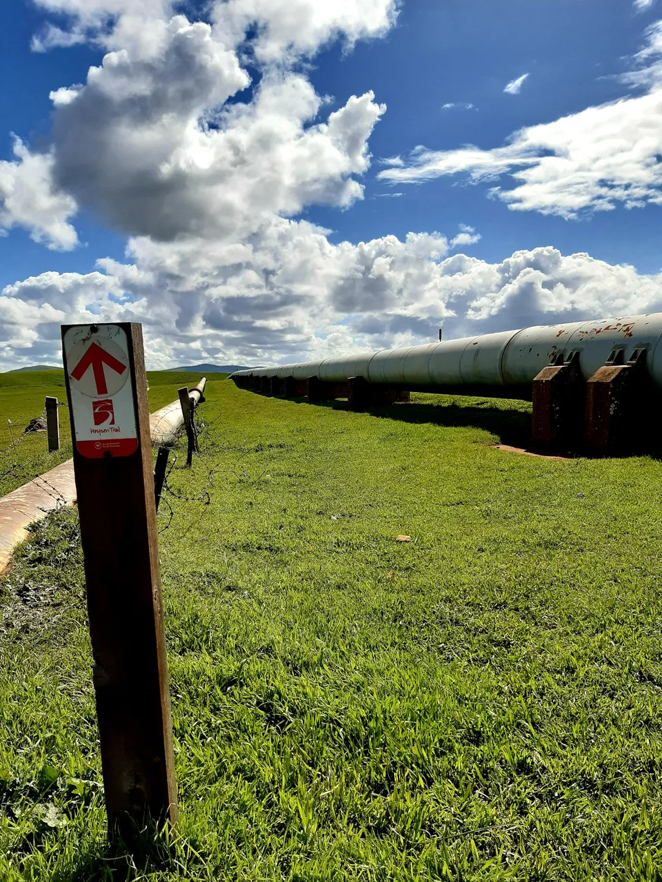
Moved on to the Heysen Trail (for a short time) as I neared the reservoir. The signs inform me that the trail has been re-routed along here
Instead of loosely following the Goyder Highway like before, it now runs alongside the pipework in the photo above: up and over the hill. Then, descending down the other side and diverging North-West, it crosses a creek at the bottom of the valley, before climbing back up the next hill to meet a road and a chlorinator >> at the top
Standing at the top, looking back down the hill I had just climbed, I could make out some concrete infrastructure in the distance

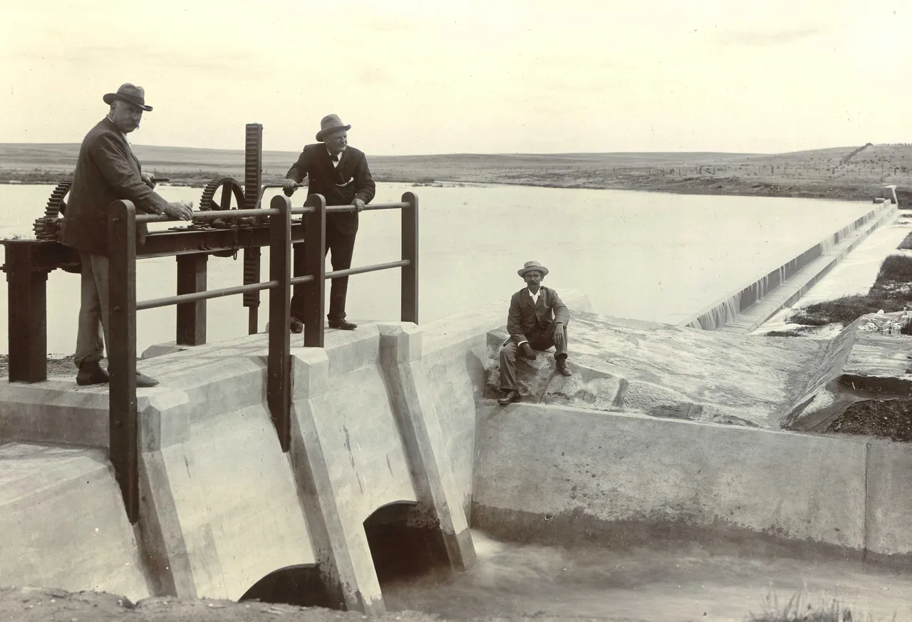
It was too far away to tell if it was the structure seen in the photos above, but it was definitely a pair of sluice gates of the same type. I'll have to get back there and explore the area more when I have the time
It was getting late in the afternoon by then, and I had to get back to the City for the Hive Meetup. So, I continued on down the road for a few more kilometres, before finally reaching my car