Santo Tomás Volcano is located between the departments of Quetzaltenango, Suchitepéquez and Sololá.
Santo Tomás is considered by some experts to be one of the oldest forms of volcanic rock in Guatemala. It has no record of volcanic eruptions in the country's history. But its most prominent dome is believed to have been active more than 84,000 years ago.
Its activity is mostly demonstrated in the thermal water sources that it provides to the Georgina Springs. It is also known as Cerro Pecul.
It has a maximum height at the top of 3,505 meters above sea level and its territory is populated by dense forests. In fact, it is a protected area according to the Presidential Agreement of June 21, 1956.
It belongs to the Guatemalan System of Protected Areas -SIGAP-.
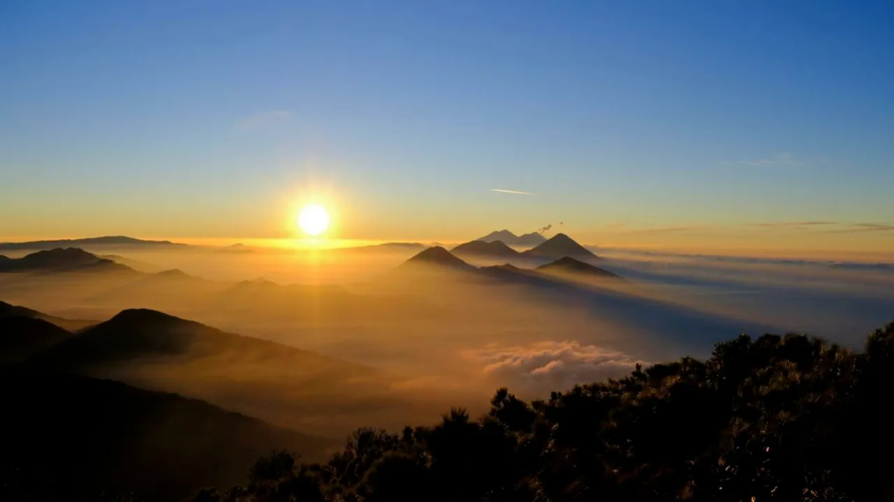
The territory stands out because of the beauty of the many volcanoes in the area. The landscape that can be seen from the top of Santo Tomás Volcano usually includes Zunil, San Pedro, Tolimán, Atitlán, Acatenango and de Fuego volcanoes. It is also part of the Nahualate River Basin.
▶️ 3Speak