Welcome to my Thai world!
My daughter and I live in an old teak house at the back end of our traditional Thai village - Baan Rim Tai in Mae Rim, Chiang Mai Province. 800 meters from our house the rice fields start. Walk 5 mins the other way and you hit the 107 highway; you can be in the heart of Chiang Mai city in 20 mins, traffic willing. But behind our village we have the Ping River - Mae Nam Ping, as she is called in Thai; translates as Mother Water Ping. แม่น้ำปิง.
In between the rice fields there is a network of irrigation canals we call khlongs (คลอง) which enables the local farmers to grow 3 crops of rice per year. 50 years ago rice, fish, eggs, herbs, fruit, flowers and vegetables made their way to the floating markets of Chiang Mai via the river and hand-carved traditional Thai wooden boats. It is a fertile valley - still surprisingly rural despite the proximity and easy drive to Thailand's second city, often dubbed Rose of the North. Despite being only 10 mins drive to the major tourist hotspots like Tiger Kingdom and the Elephant Camps, our sleepy old-fashioned village moves in a different time zone. Especially on a hot Wednesday afternoon.
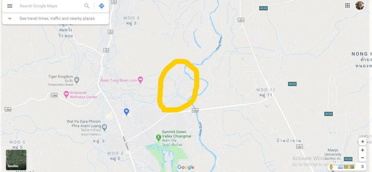
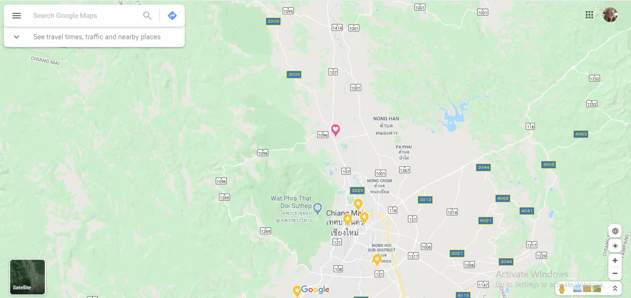
My walk today ambled along the road from our village of Baan Rim Tai to the next village of Baan Hua Dong across the irrigation canal, then Baan Rim Nuea and on to the edge of Mae Nam Ping at Baan San Pong. The little blue pin shown is our house and workshop.
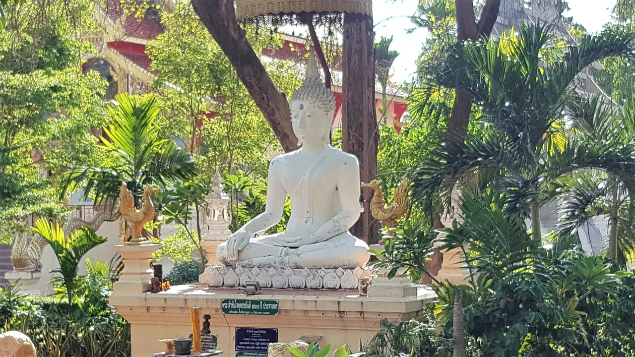
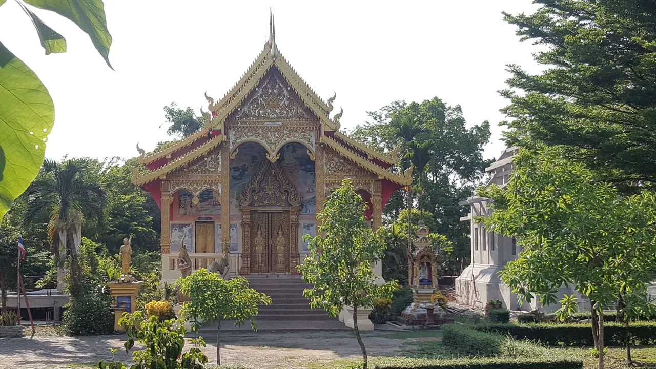
My first stop in Baan Hua Dong (means 'the small village of Hua Dong') was Wat Hua Dong Summakee Tum - the Buddhist temple.
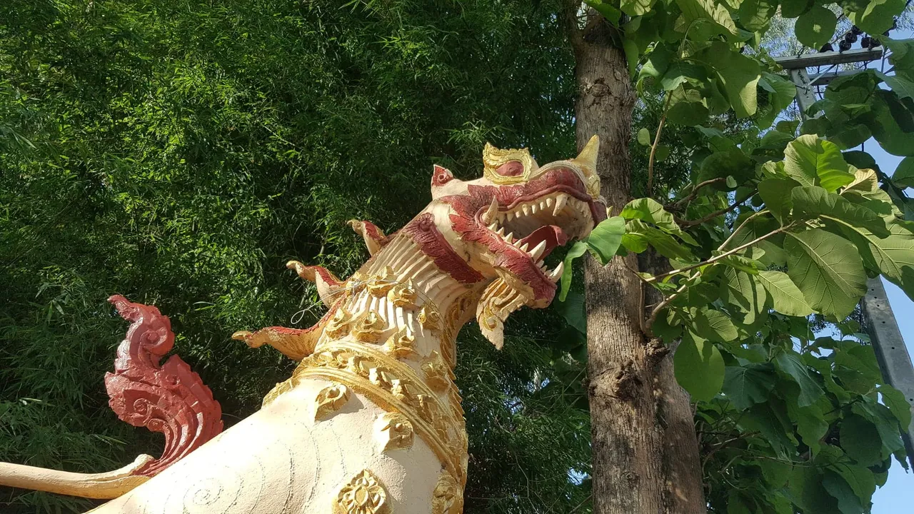
Guarded by two huge 'Singh" - the sacred mythological lion.
Literally not a soul or a monk to be seen on a hot Wednesday afternoon - temperature around 39C.
50 meters from the temple is Su San Hua Dong - the Hua Dong Crematorium. The body is burned in the open structure to the right - traditionally wrapped only in a cotton shroud but these days more likely to be in a cheap plywood coffin. The outer "showy" coffin is rented and then returned. The covered area to the left is where the village and the family witness the cremation, along with the monks and the Phuu Yai Baan - the village head man.
Not much else to see in Hua Dong - 4 lazy temple dogs too hot to give chase, some wilted greens at a roadside vendor's stall (he was sleeping) and a small pile of rubbish awaiting collection tomorrow. A few farms and small houses. Local village population unlikely to be more than 200.
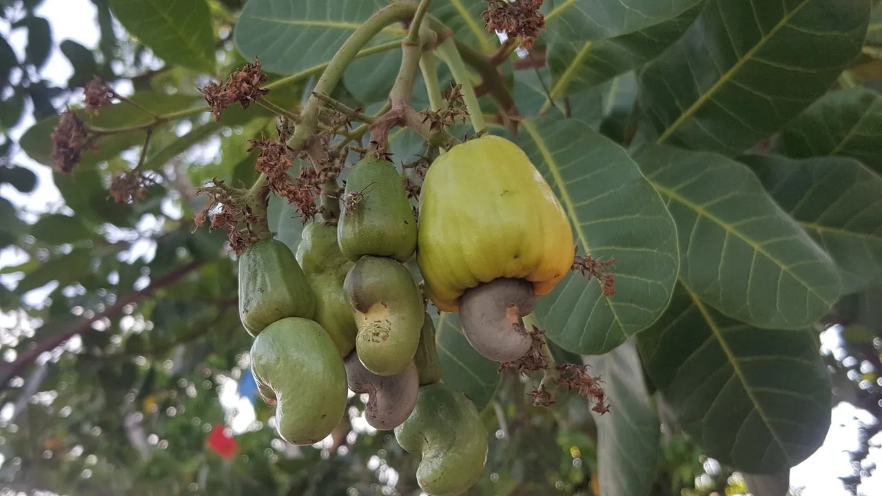
I walked under cashew nut trees growing by the roadside.
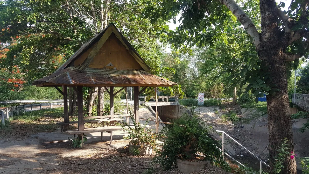
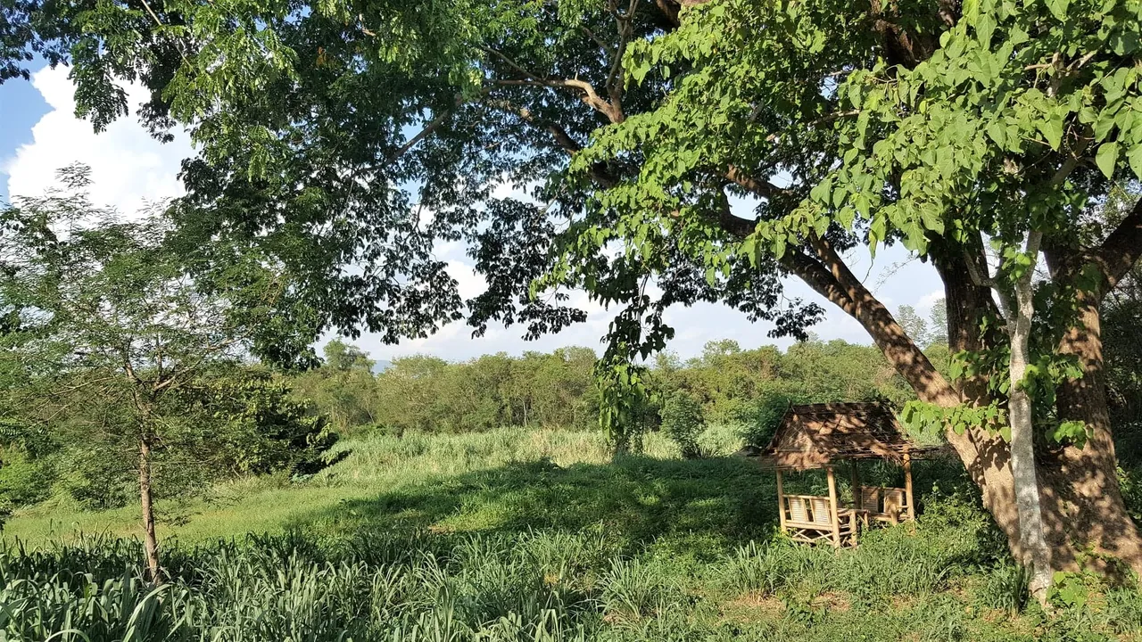
The valley is criss-crossed with a network of irrigation canals which feed the local farms with a year-round water supply. Nothing grand, but lots of little bridges and shady canals brimming with frogs, snakes and little fish.
As you can see from the central workstation of our local hydro hub, things are pretty laid back in Mae Rim. 🤣
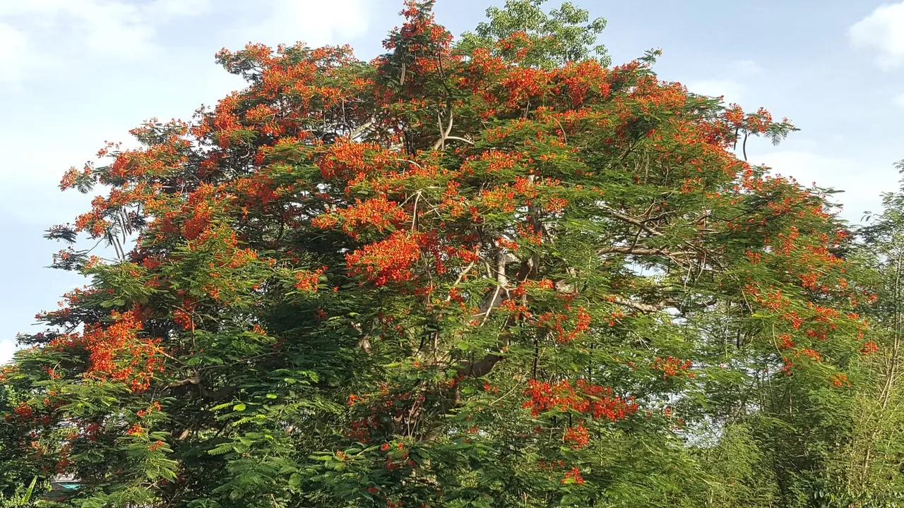
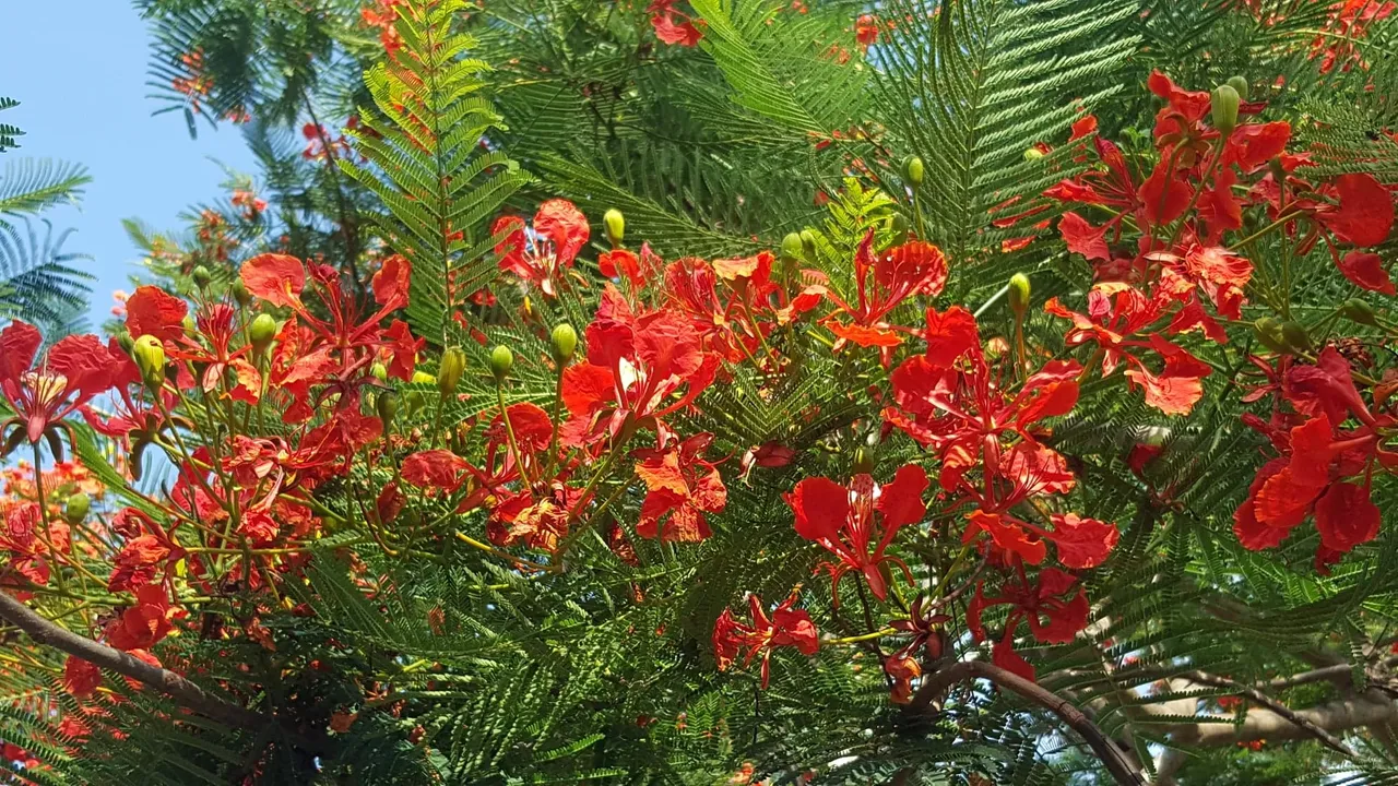
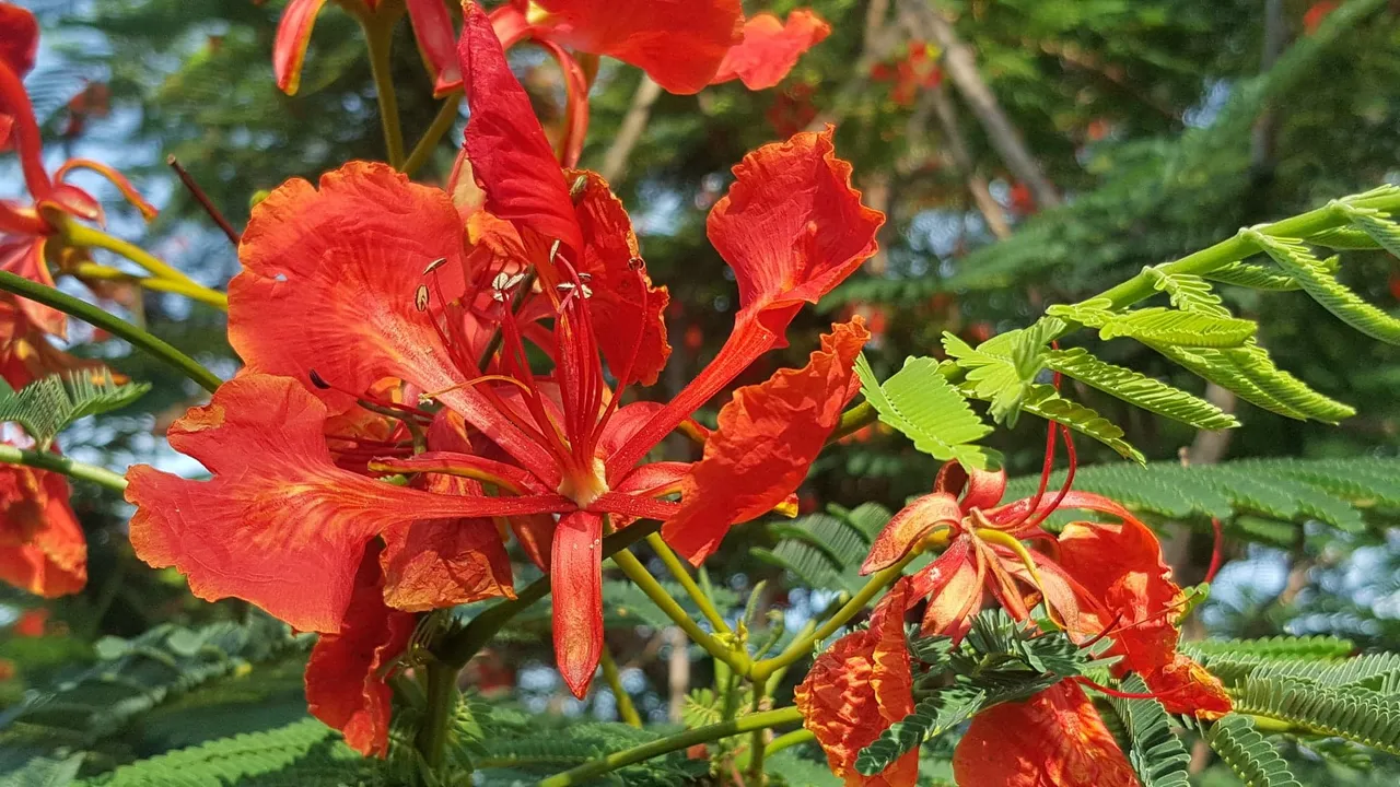
The first rains have brought the flame trees into flower, and they are magnificent.
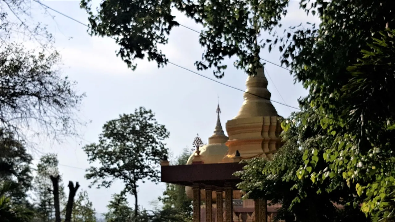
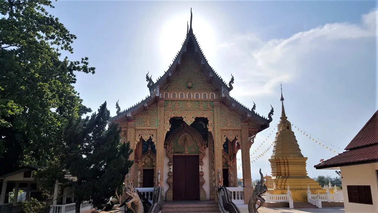
The second temple in Baan Rim Nua is Wat Mani Pradit.
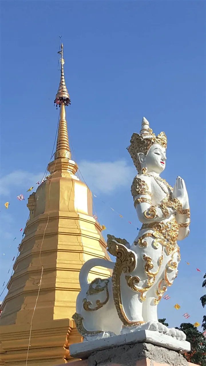
The guardian spirit at the back of the temple overlooks the local farms:
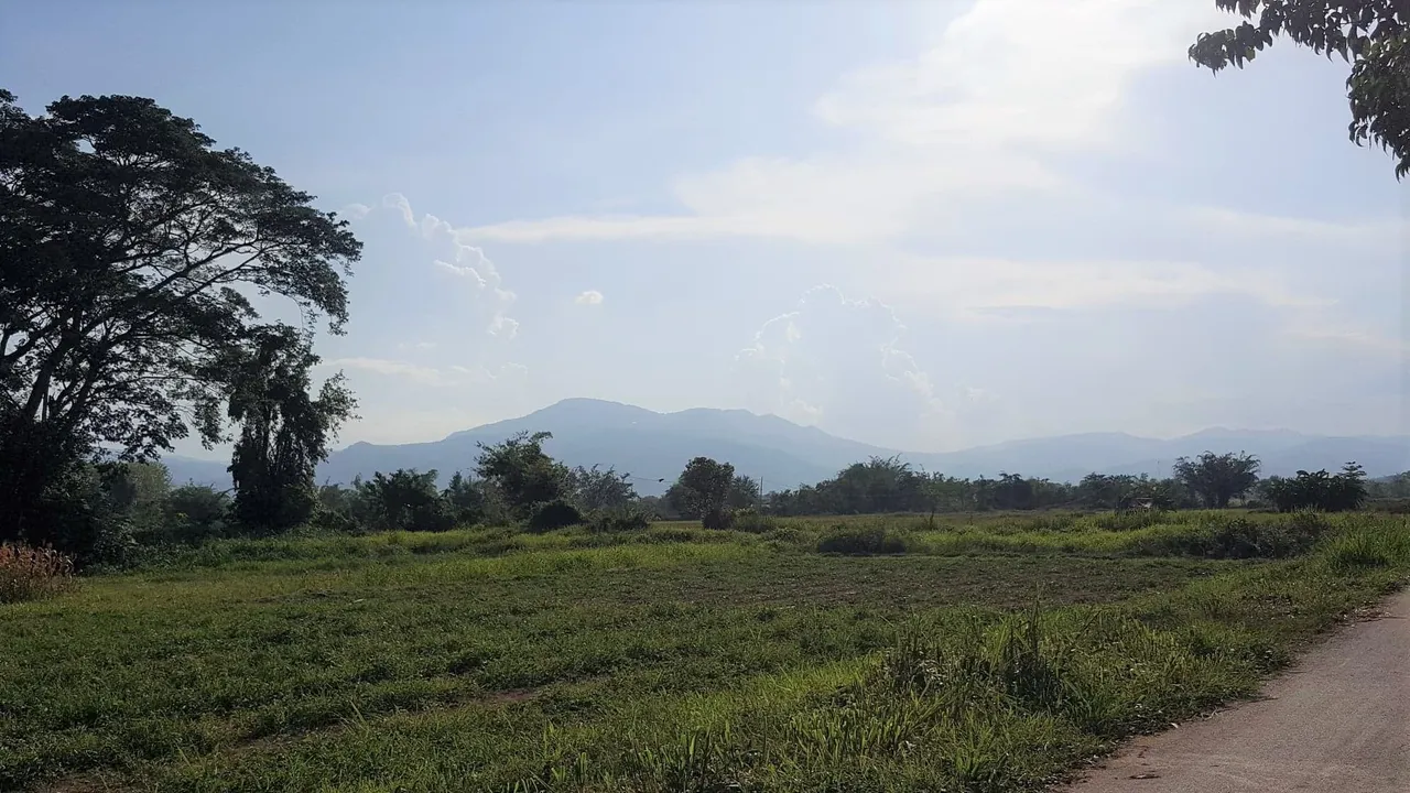
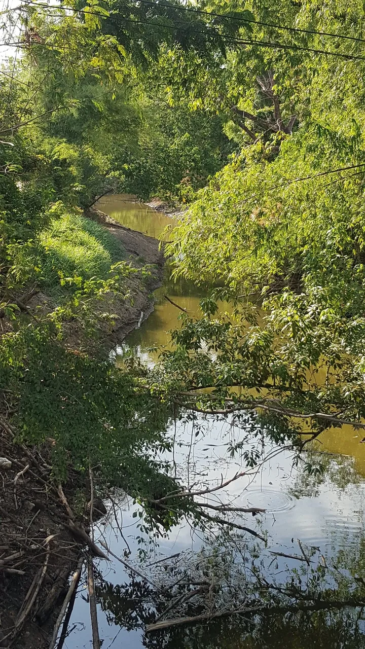
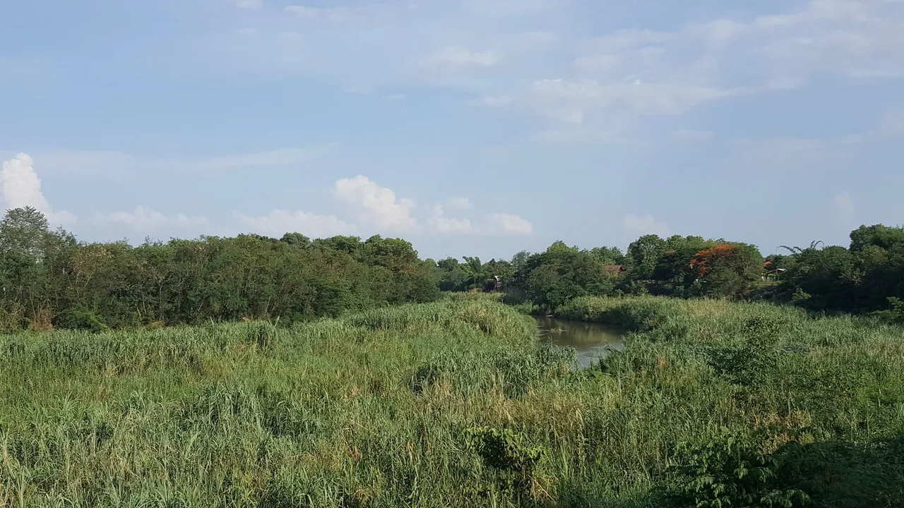
Just a few hundred meters further, the road almost touches Mae Nam Ping at Baan San Pong. Right now, after the long dry season, there is little water and the reeds have grown very tall. A snake paradise!! And the chorus of frogs on a hot night has to be experienced to be believed. In a few months, after some heavy rains, the river will be full and fast flowing here, and most of this submerged.
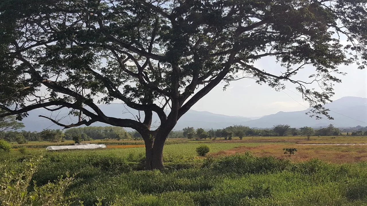
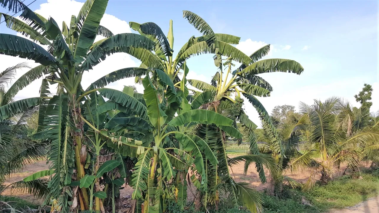
I turned around and wandered back home at this point, marveling at the farms, the bananas and the local culture which has survived relatively intact only 10 mins away from tourist central in Mae Rim and 25 mins from the urban sprawl of Chiang Mai.
How far did I walk today? Not more than 5km - an easy 2.5km each way, and maybe less. We're located just 10 mins drive from Mae jo University and its exciting cannabis development project.
This area is a fabulous cycling area and easily reached from the city by following the lovely San Phi Sua Road (which follows the river) all the way to the Mae Jo Highway. Cross over and you're here.
You will know who the real travelers are right now cos they will be the ones exploring their neighbourhoods, instead of moaning about lockdowns, borders and flights.
There is so much to see, just 10 mins from home, if you take the time to see it. The red map pin is our home - just to show you how we are ringed between mountains which stretch west to the Burmese border, and north to the Golden Triangle.
Feeling grateful for the prompt to enjoy a walking adventure and to share it. Thank you @tatoodjay. Grateful.
BlissednBlessed.

Visit our online store here
Join The Best Natural Health Community on Hive