Hi Everyone..
How are you?
Sorry for the past few days I've been quite busy with my medication and haven't had time to write.
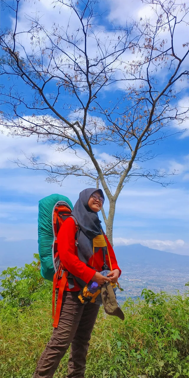
This time I want to share my experience when climbing a mountain in West Java. This mountain called Kecil-kecil Cabe Rawit is a mountain that has a not so high altitude, it's just that the journey to the top is quite steep.
Let's get acquainted with Mount Guntur first.
GUNTUR MOUNTAIN
Mount Guntur is a conical volcano which has a height of 2,249 meters above sea level. This active volcano is located in Pananjung Village and Pasawahan Village, Tarogong Kaler, Garut Regency, West Java. Mount Guntur was once the most active volcano on the island of Java in the 1800s. However, after that his activity decreased again.
Mount Guntur is adjacent to several other mountains that surround the city of Garut. There is Mount Putri which is opposite Mount Cikuray and Mount Papandayan, then there is Mount Masigit, Mount Parupuyan, and other mountains. And around the foot of the mountain there are many hotels and inns that are equipped with hot water bathing facilities with water sources obtained from Mount Guntur.
MYSTIC STORY
Guntur Mountain once shocked the country some time ago. The story of a child who got lost and disappeared for 6 days, until finally he was found safe even with a limp body. Many suspect that the child was kidnapped by an invisible creature waiting for the mountains until the child's parents think that his child was misled in a jinn village, a village inhabited only by spirits.
BEAUTIFUL VIEW
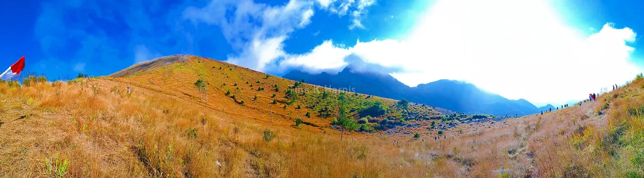
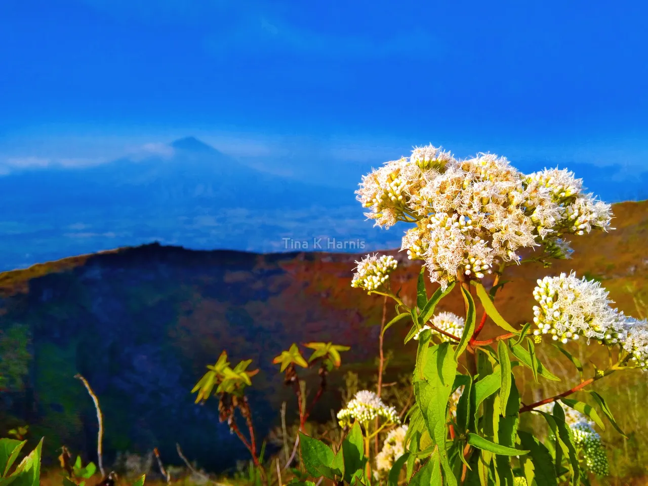
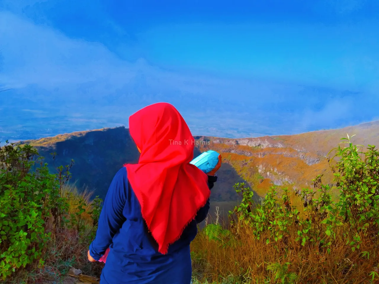
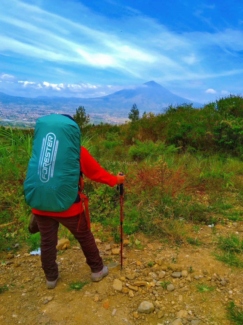
Mount Guntur has a beautiful view. With 4 peaks and surrounded by many other mountains, making the peak of Mount Guntur has beautiful views at each peak.
ACTIVE MOUNTAIN
Mount Guntur is an active mountain. Which means it can explode at any time. This mountain also has a history in the 1800s which exploded almost every 2 years.
NATURE PRESERVE
Mount Guntur is still a debate between nature reserves or tourist attractions. It's just that for now, if you want to climb, don't go through the Cikahuripan route. Given that the Cikahuripan route is a Kamojang nature reserve, it is not recommended to climb via Cikahuripan. If you want to climb it is recommended to go through the Citiis route.
Well, that's some info about this Guntur mountain. A small mountain with many surprises.
Because of that, I also began to include it in the list of mountains that I wanted to climb.
DEPARTURE
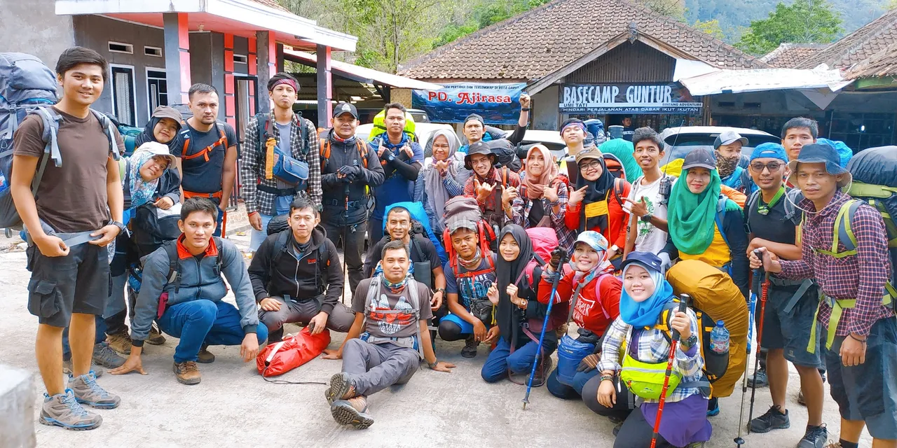
At that time I joined a travel community whose goal was to climb Mount Guntur. Precisely we left at night, gathered at a place by using a special bus that took us to Garut, West Java. The trip that started at 11 pm that we used to sleep. upon arrival at the location (Basecamp) we also register. For security reasons, we leave one ID card.
ASKING PREPARATION
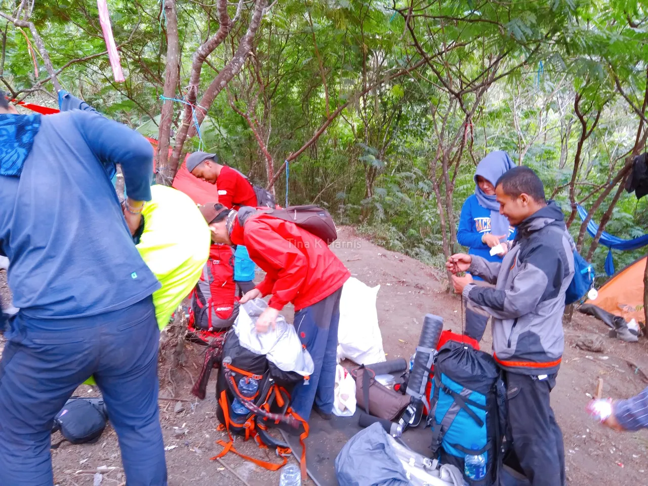
At 06.00 am, after registering we began to prepare all the needs for climbing. Starting from changing clothes, shoes, preparing tools so that they are easy to use while traveling and don't forget to have breakfast first.
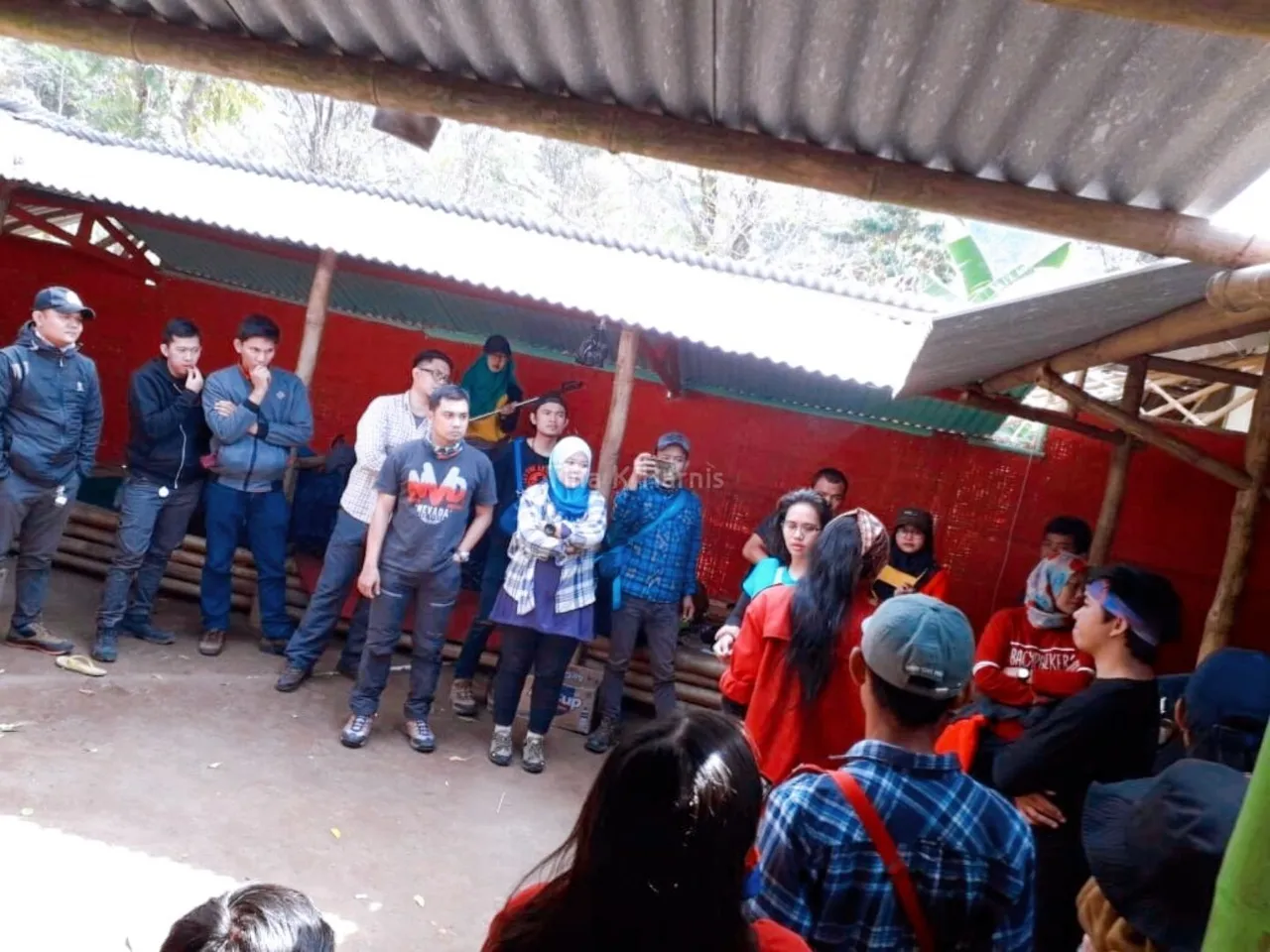
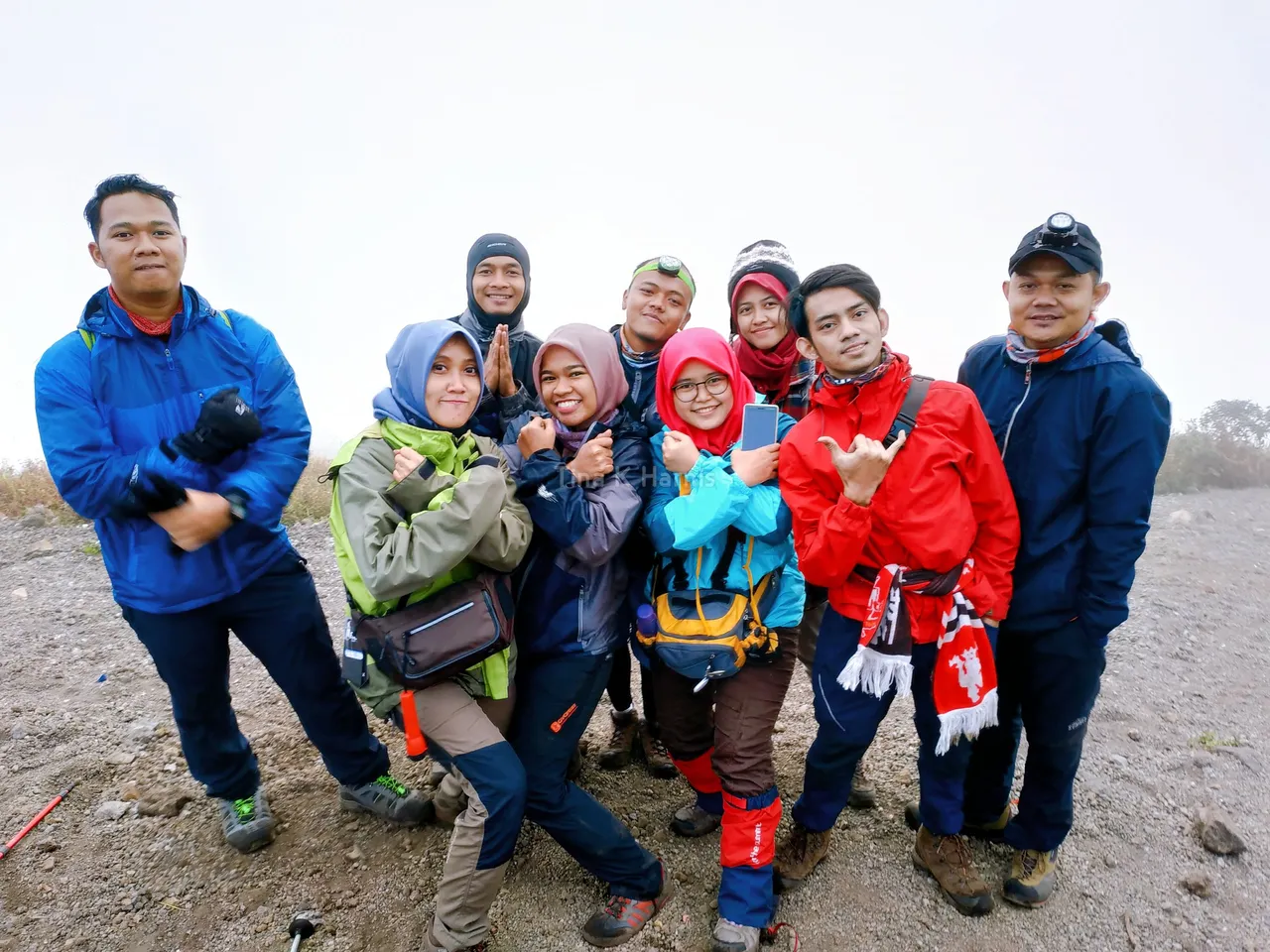
After everything was ready we did a briefing and divided the team for the trip. We have 3 teams which have different travel times. Team 1 goes first, team 2 follows and then team 3 becomes the swiper by walking at the back. Don't forget to take pictures together just before the climb.
After that we traveled approximately 500 meters to the officer who manages the inspection and cleanliness to report the climb by paying the entrance ticket for the Conservation Area Entry Permit (SIMAKSI) which is Rp. 15,000/person.
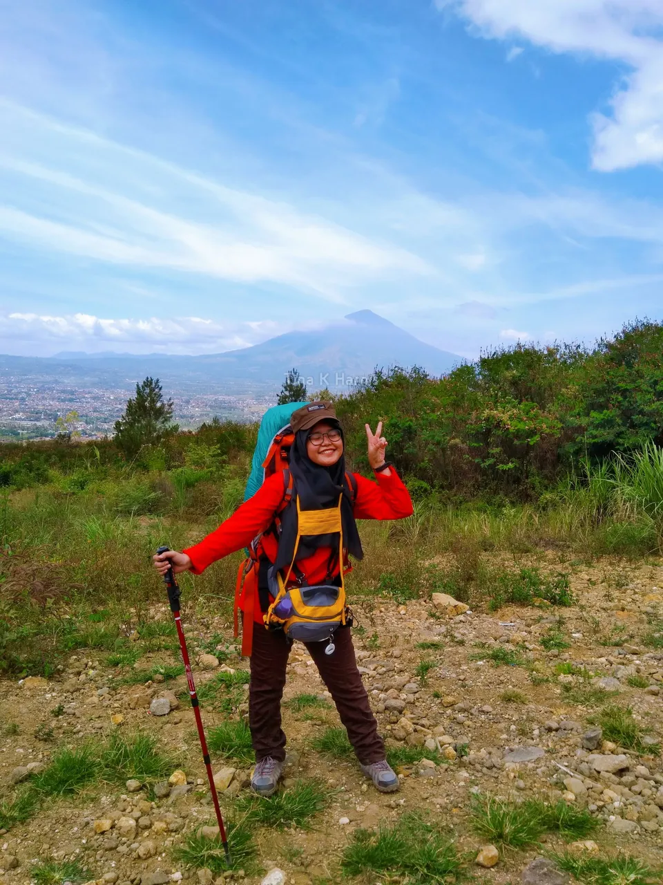
HIKE POS 1 – POS 3
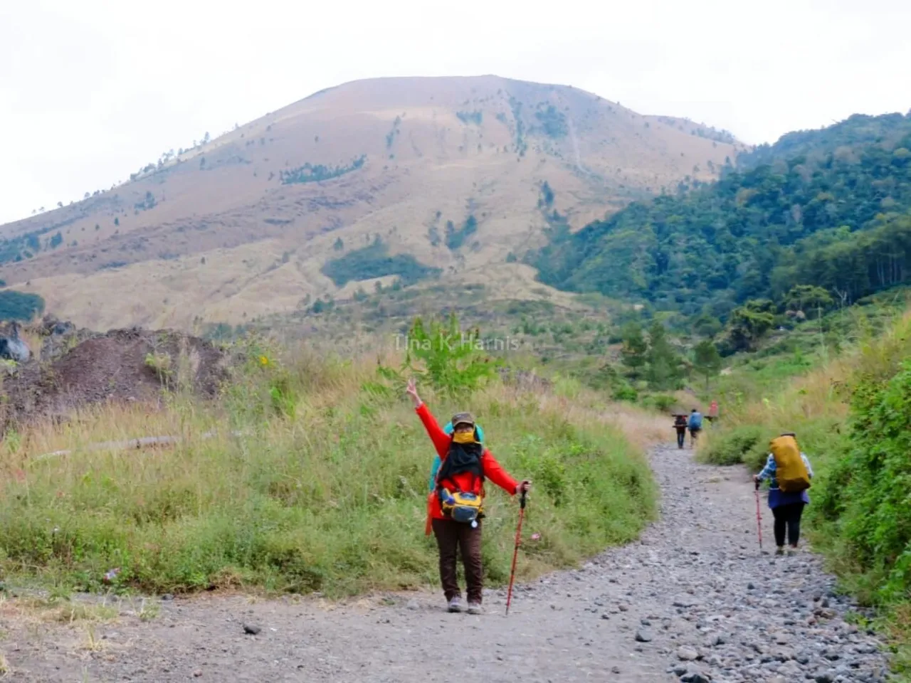
At 07.00 am, we started our steps with enthusiasm. We walked through a track with dirt mixed with gravel. In addition to the fairly sloping path, we were also treated to views of hills and rocks, no wonder during the trip we passed a sand transporting truck because the track that was passed was a path of sand and stone miners. At 09.00 am, we arrived at post 1. We took a break to go to the next post.
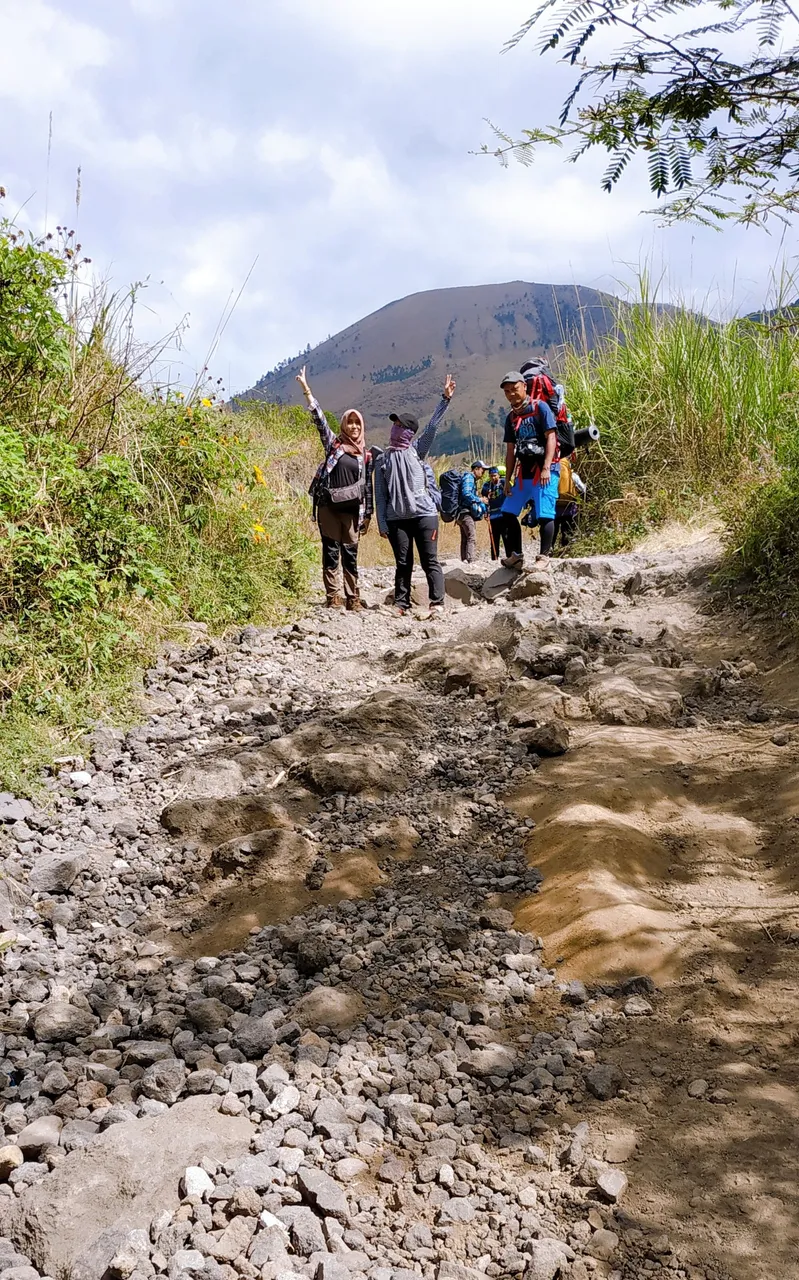
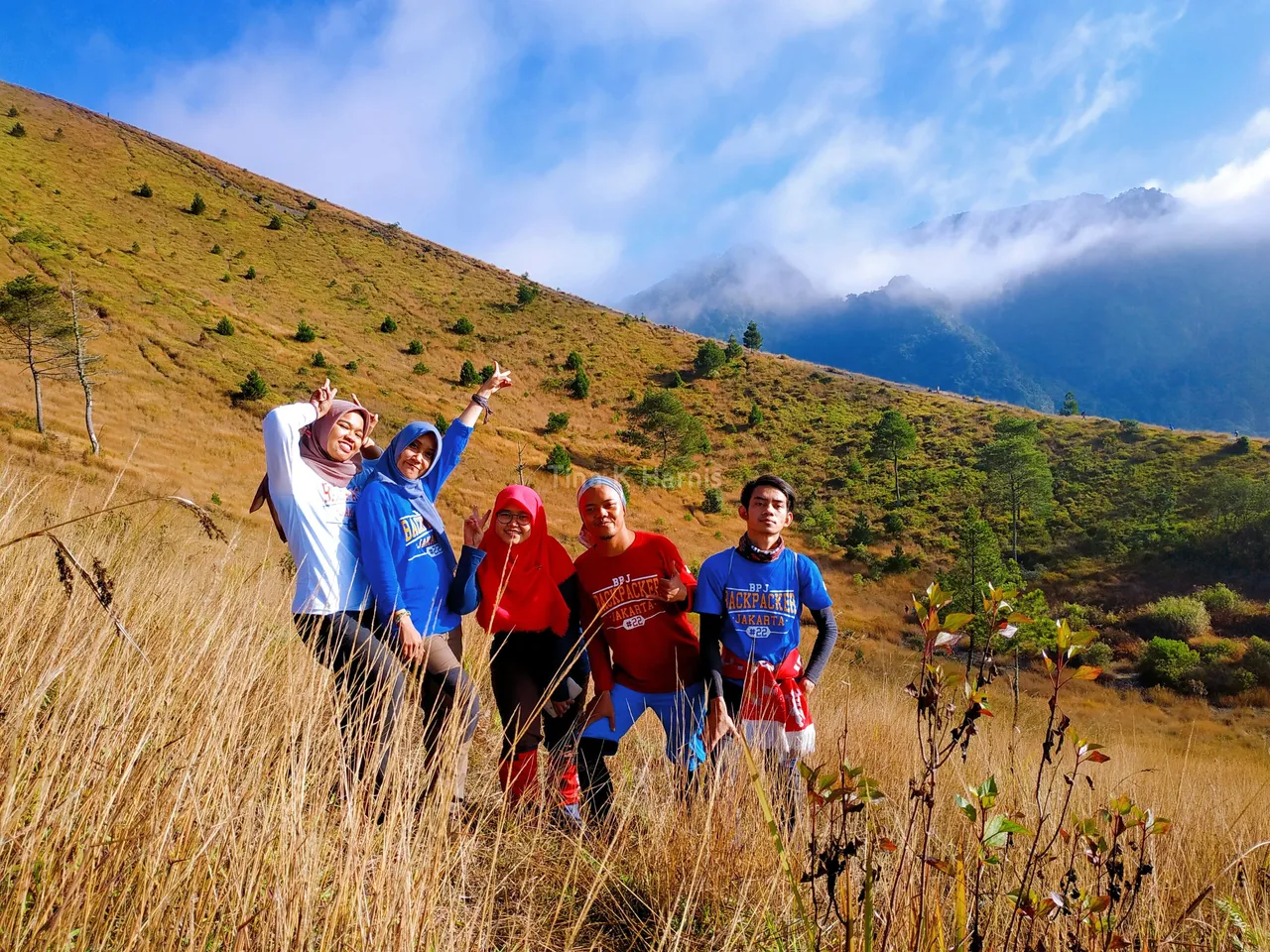
After resting enough we continued our journey to post 2. The journey this time was quite challenging because we passed a fairly steep path. During the trip we passed through the rocky hills. It took 1 hour to arrive at post 2. Tiredness paid off with a very beautiful view. Without much rest we continued our journey to post 3, where the climbers set up tents for the night.
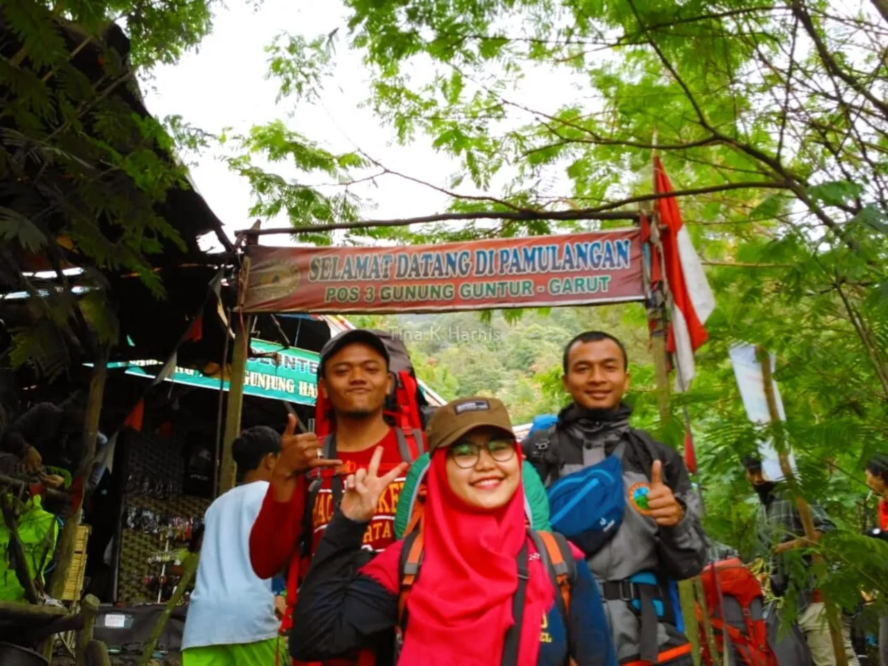
Still the same as the previous path. The journey to post 3 passes through steep cliffs and rocks. Exactly at 01.00 pm, we arrived at post 3, seen from a distance the number of colorful tents. We also reported for the need to spend the night, and we were asked for another ID card for security.
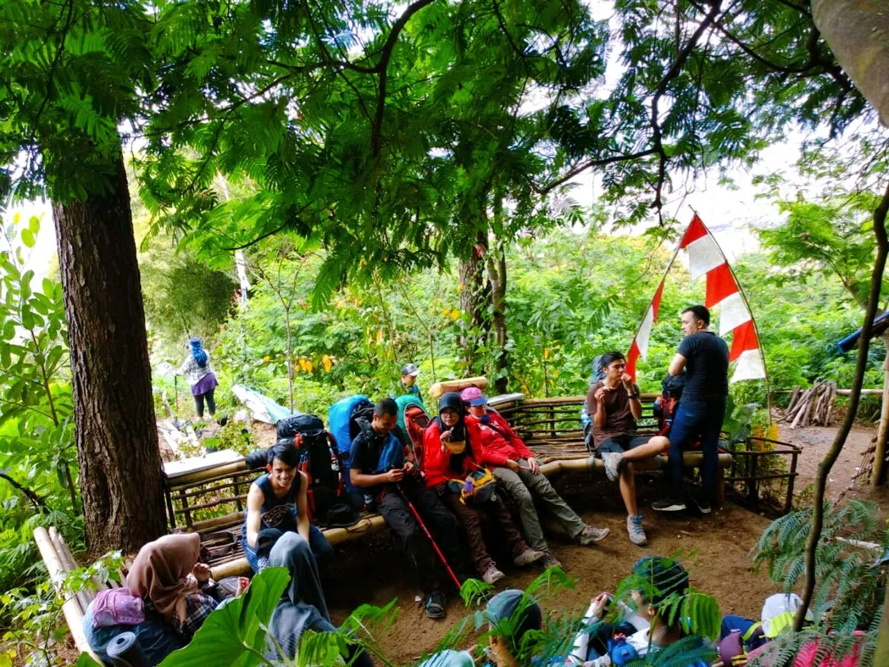
During the journey from Pos 1 to Pos 3 there will be many water sources that we meet to refill drinking water, so there is no need to be afraid of running out of water. And in Post 3, we last met a water source.
SETTING A TENT
After looking around a few places for us to set up our tents, we found enough land for our team. Even though the terrain is uneven, at least we can still comfortably rest.
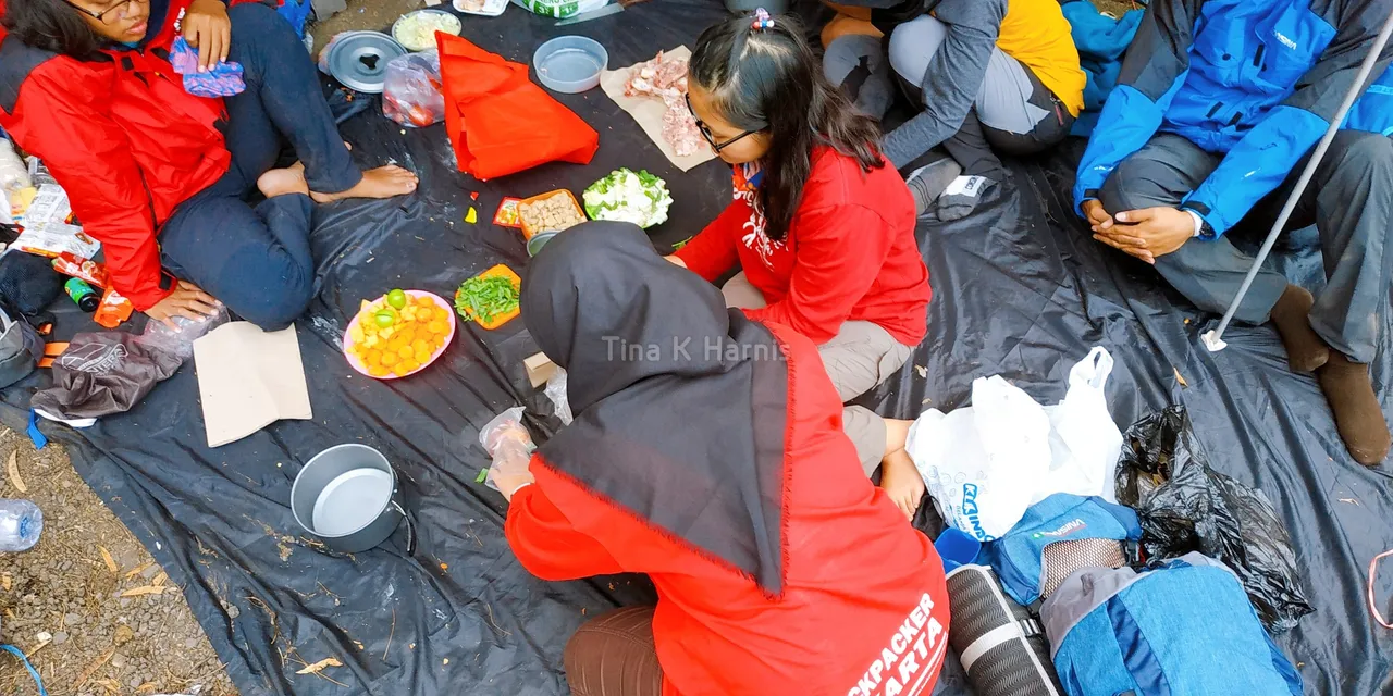
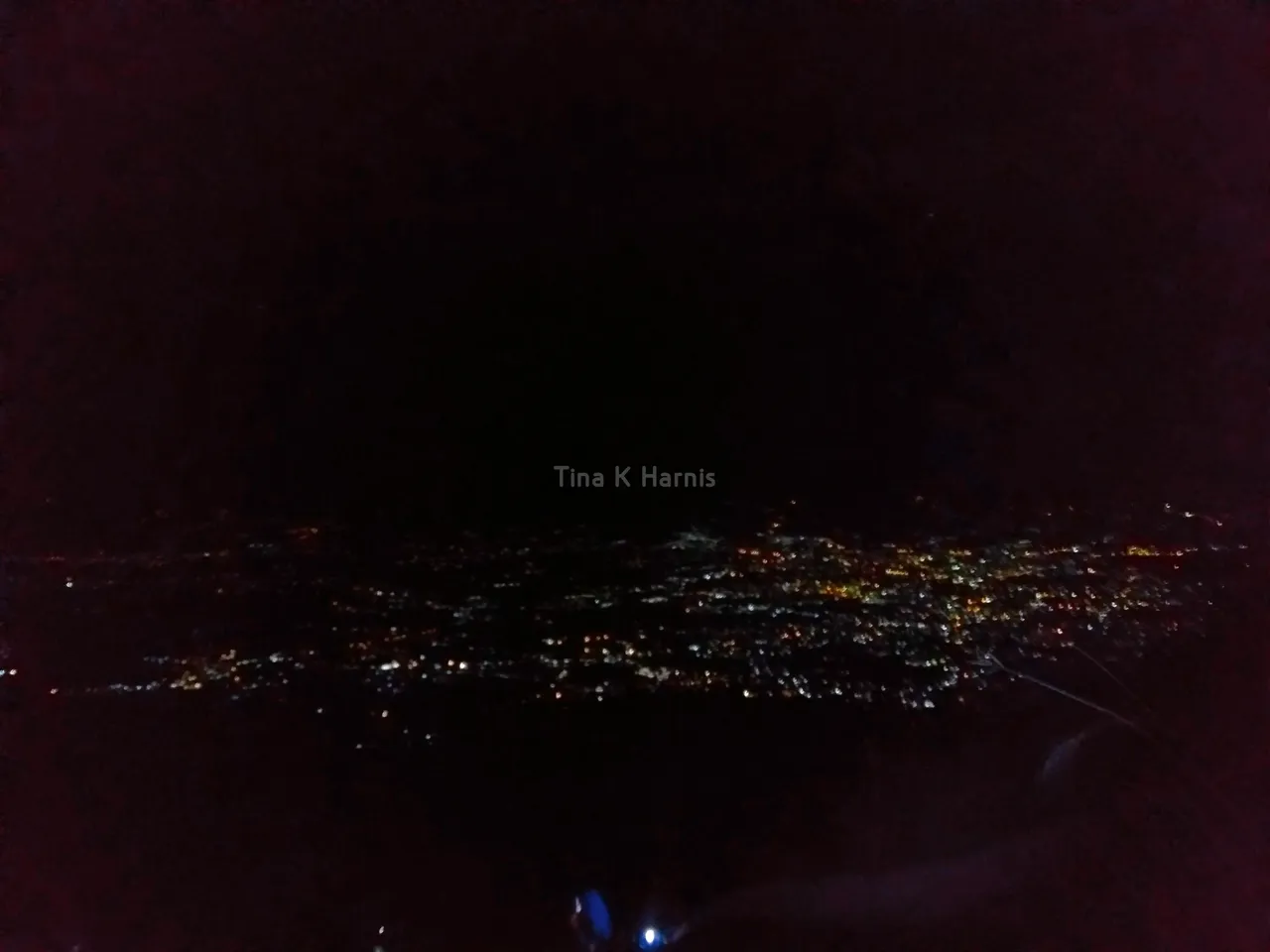
We also divided the team. The men build tents and the women cook for the lunch and evening meals. After all of this was over, we rested and chatted and tried to make new friends by visiting some of the nearby tents. When night fell we gathered together while telling stories accompanied by the flickering lights of residents from a height. At 10:00 pm, we went to bed.
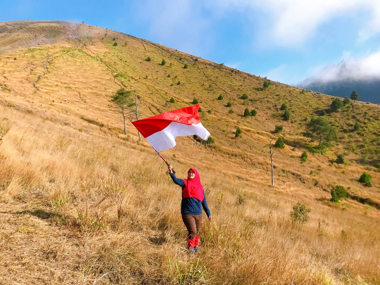
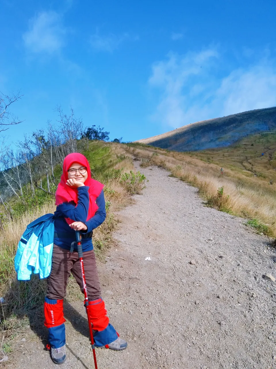
TOWARDS THE TOP 1
At 3:00 am, we woke up. Prepare the needs for the summit. The journey to Puncak 1 is not far, it's just that the path is very steep, if we are not careful we can fall because the slope of the path is 45 degrees.
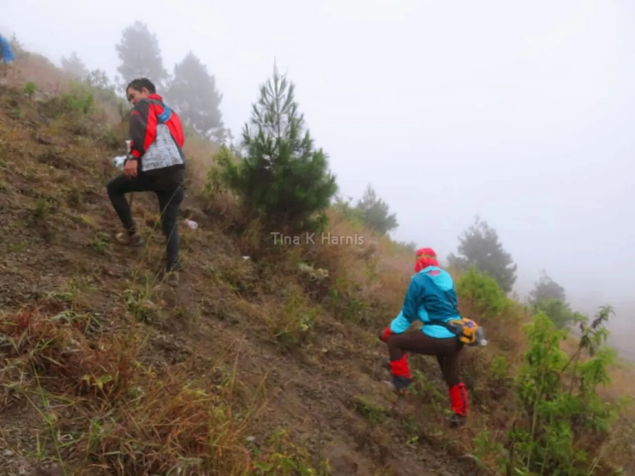
At 04.00 am, the journey begins. With sufficient equipment and food supplies during the trip. We decided to leave the tent and do the summit with only the essentials. With high vigilance and excellent teamwork, we were able to go through this path and reach peak 1. It's just that when we were at peak 1 some of us chose to stay and not continue to peak 2.
After enjoying the peak atmosphere and capturing the moment, we decided to go down. When going down Mount Guntur has its own path and does not go through the same path when going uphill. Because the uphill path is very dangerous if used to go down. After arriving at the tent we rested and then packed up to go home respectively. When we go home we decided to visit the souvenir center.
Best Regards,
Tina K Harnis.

Who is Tina K Harnis?
Welcome to Tina K Harnis's little room. She is a girl who is learning to write. She likes to do new and interesting things. She likes traveling, singing and dancing. Lately she has started to love the world of cooking, trying new recipes and sharing them on social media. She is not a celebrity but she wants others to know her well.
If you like her content, don't forget to upvote and leave a comment to show some love. You can also reblog if you want to. Also, don't forget to follow her to be updated with her latest posts. Thank you.