In the middle of nowhere, down an unassumed road which is closed this time of year one can find the the trailhead which leads up to Jumpingpound Summit. It's in an area called Kananaskis, about an hour drive West of Calgary. There is nothing around for 20 kilometers in any direction except the odd path.
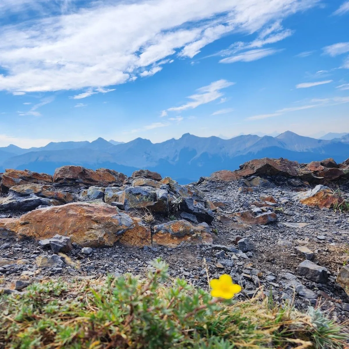
The summit is about 2200m above sea level and is just barely in what I would call the mountains. The hike is moderately challenging, being just over five kilometers there and back with 400m of vertical, the views are above average.
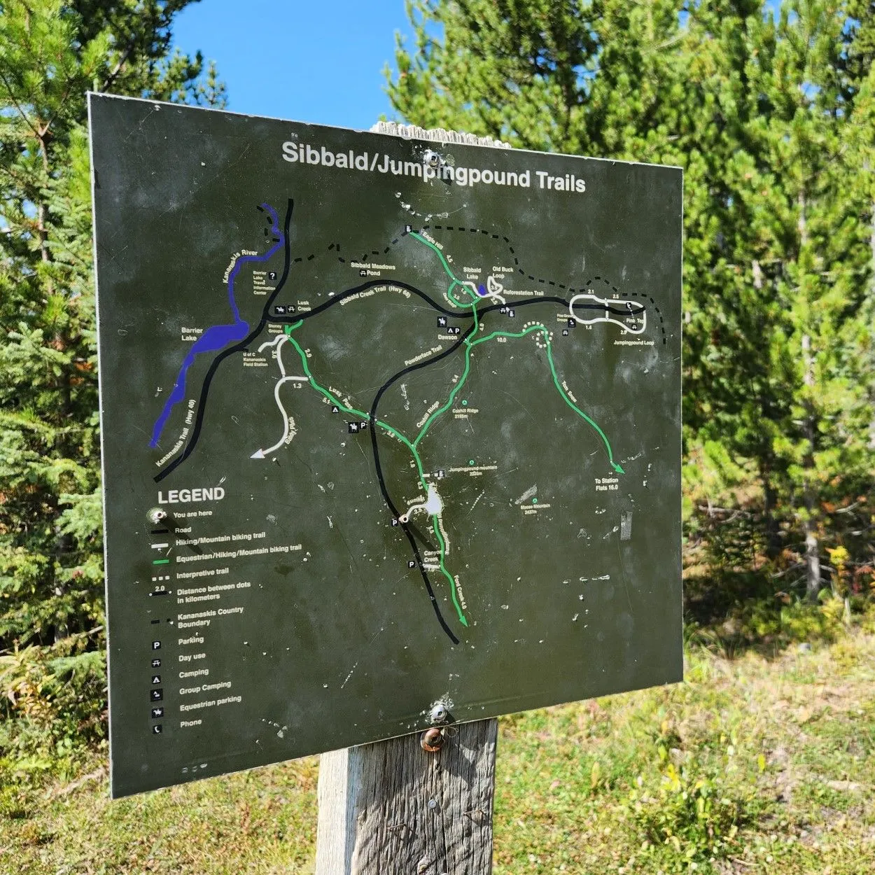
At some point along Powderface Trail Road, you will see some cars parked at the side and this sign. That's where the trail begins. Don't go down this road without at least all wheel drive and some clearance on your vehicle or you're going to have a bad time.
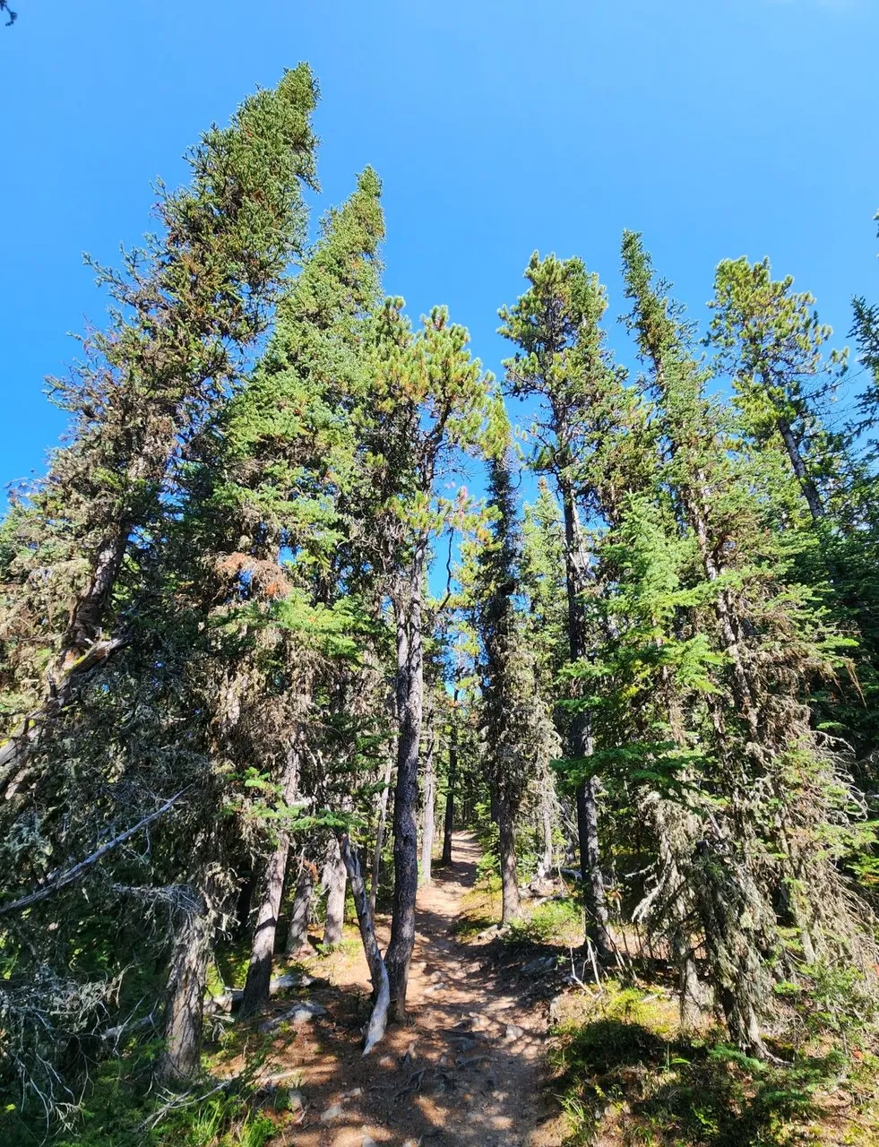
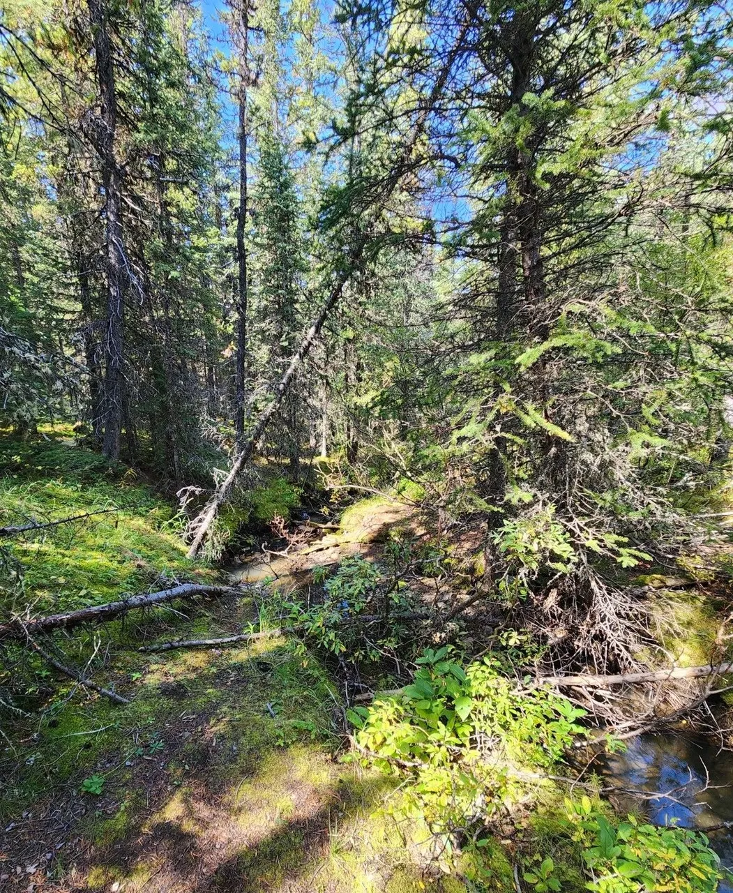
Like many trails, it starts in the valley and the ascent is gradual at first. There is a small creek and the trail is good. It's never too busy here despite being almost perfect weather on a Saturday afternoon.
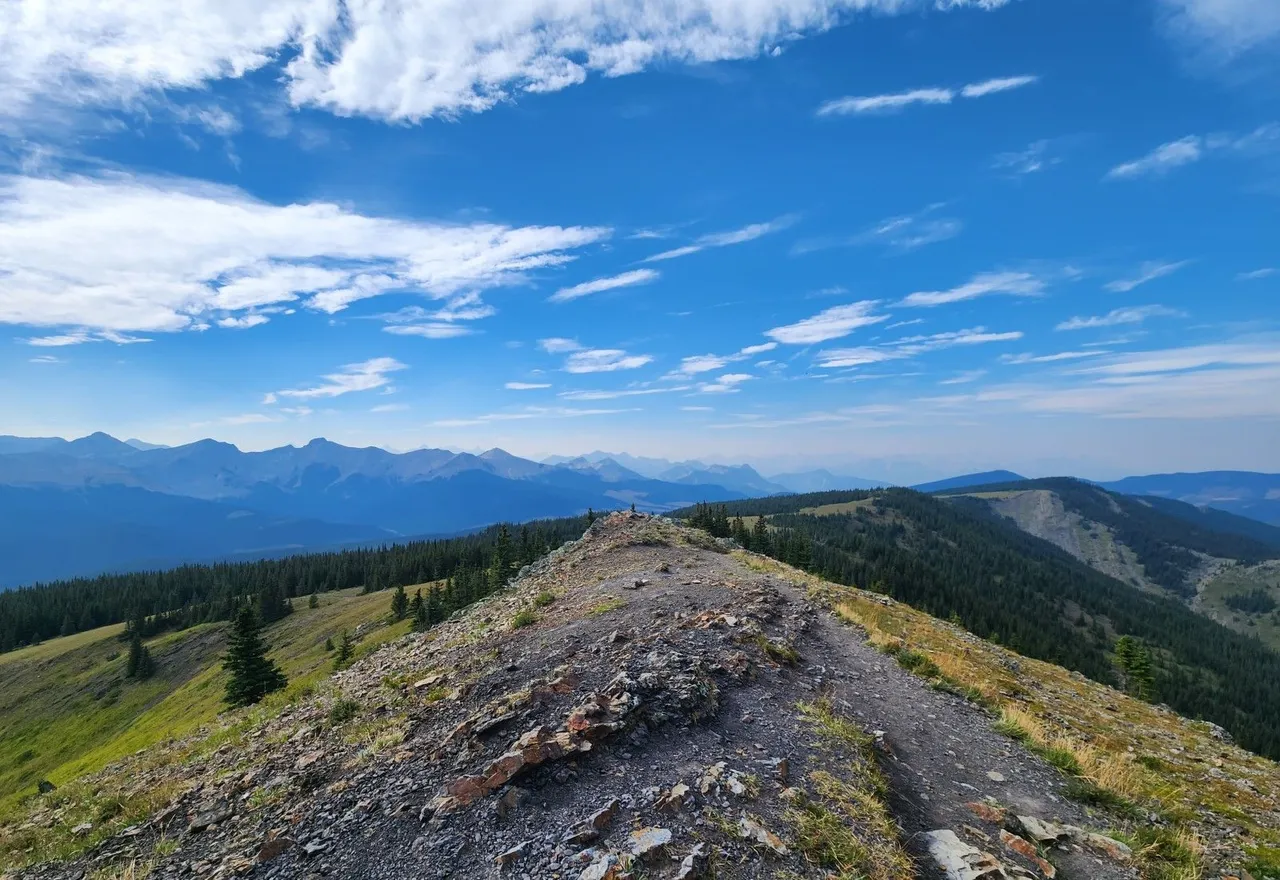
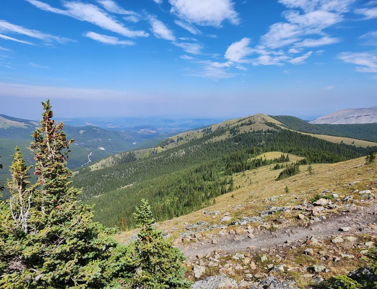
After half a kilometer in, the grade picks up a little, once you get above 2000 meters things start opening up. There's a very long trail connecting all the summits in the area and the hiking possibilities are endless.
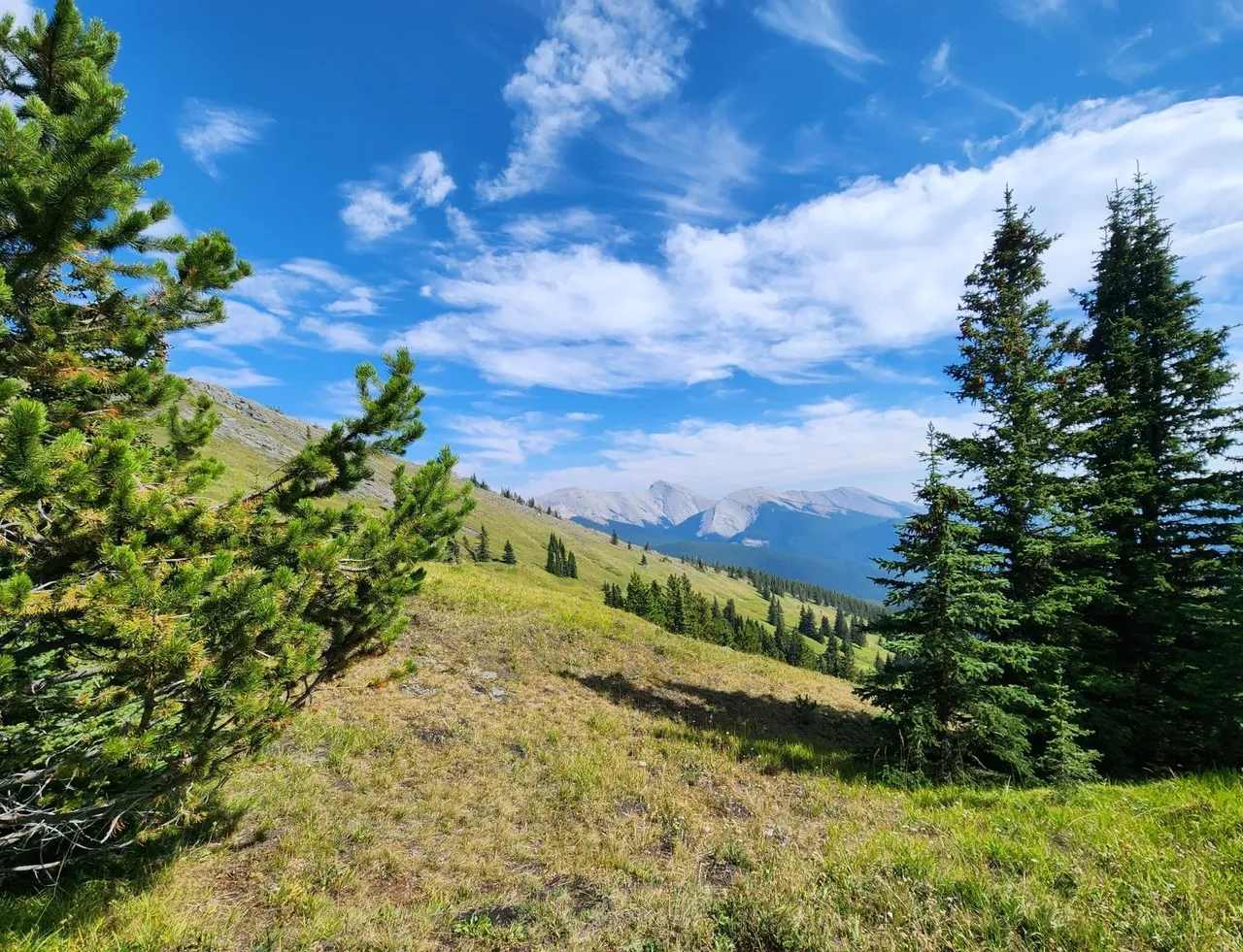
Horseback riding is popular in these parts but there is so much room you seldom see riders. There were a few hikers up at the top of the mountain enjoying the view. We love the relative solitude of these hikes and this is why we often go to Kananaskis- to avoid the crowds in Banff.
Big open spaces and skies, Alberta is just north of Montana. Being towards the end of the summer it is dry here. Luckily there wasn't a fire ban since we were camping later that evening. It was the first Saturday of September and things get a little chilly after dark, despite the mid 20s temperature throughout the day.
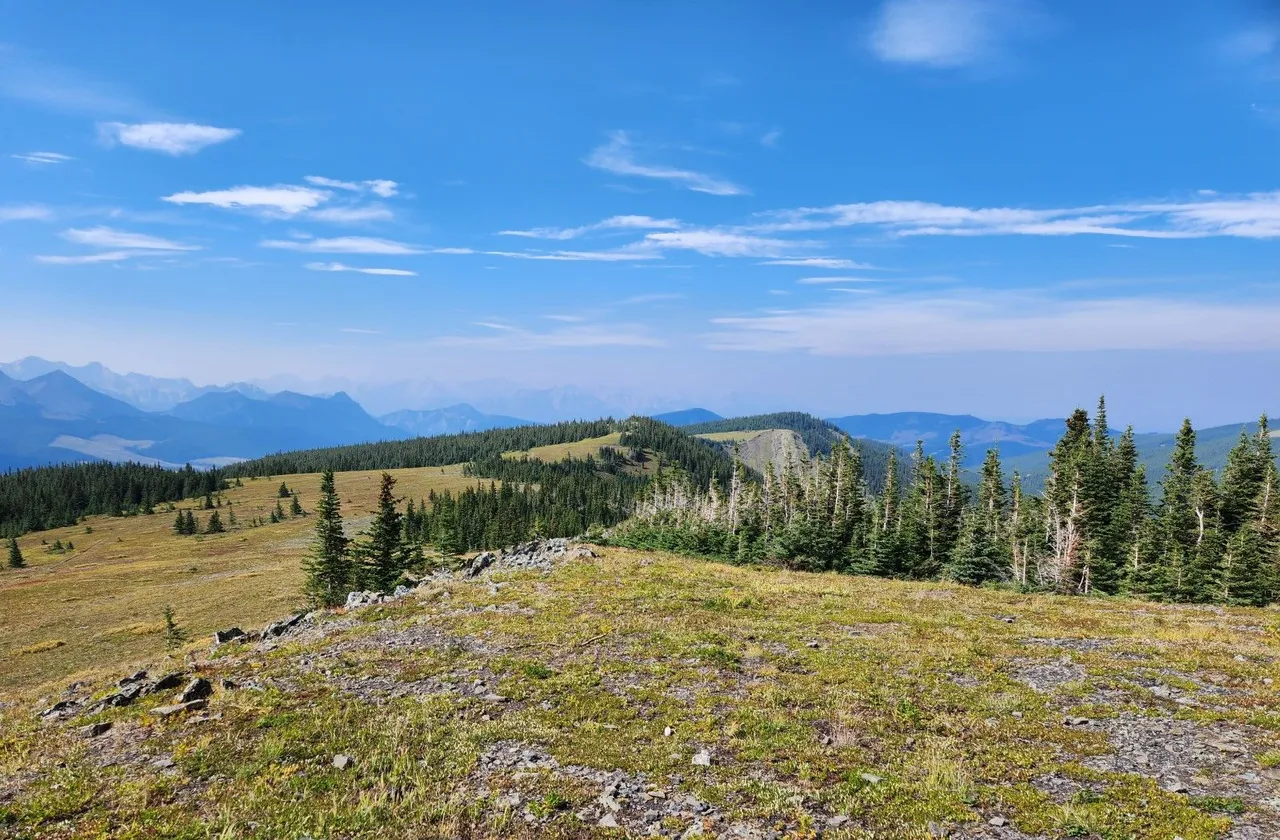
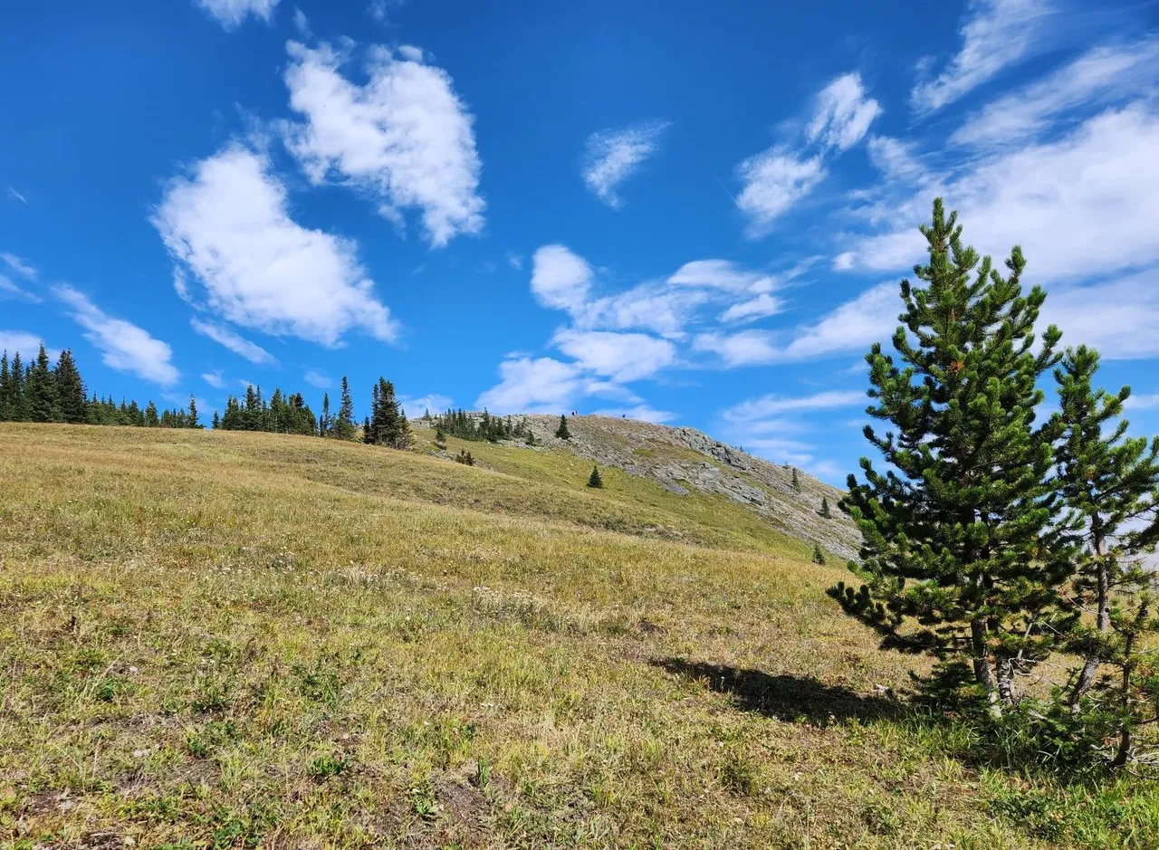
The vista is nothing short of stunning. I'd like to hike along this ridge for miles and miles. Maybe next summer we will get two cars and do a point to point hike.
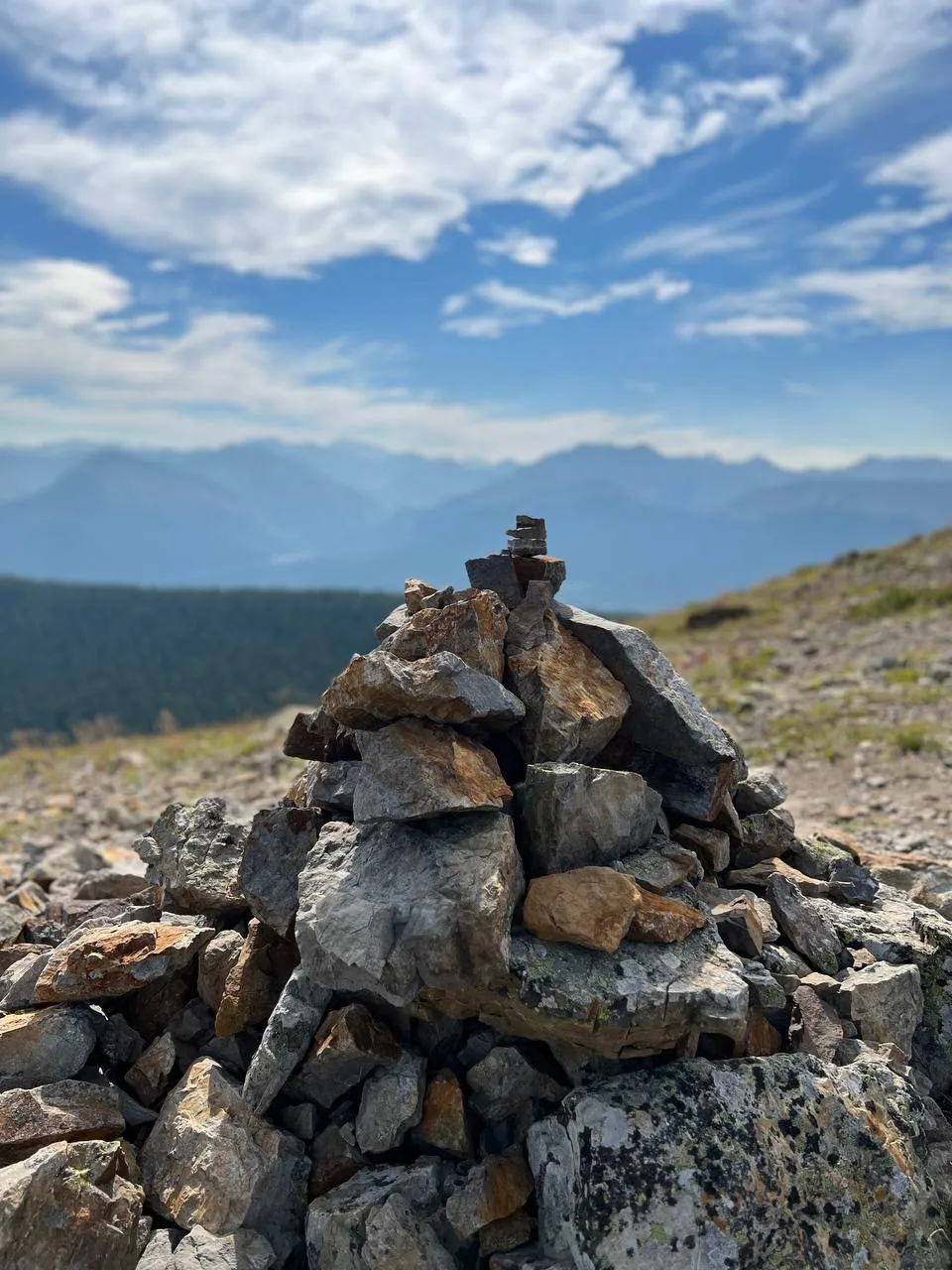
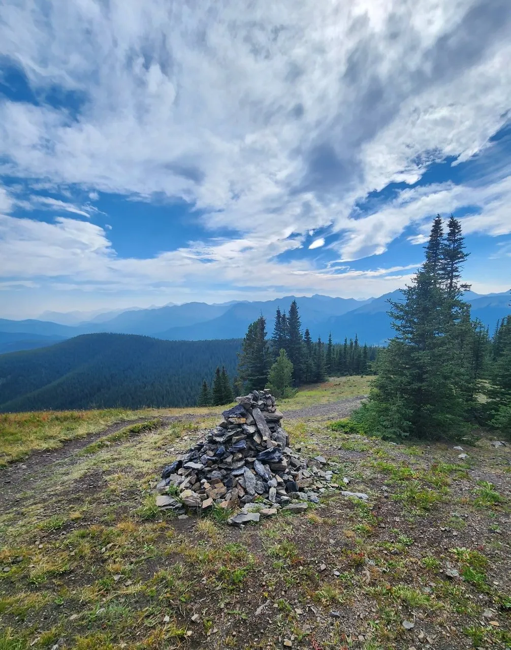
I'm not sure if these cairns are for recognizing where the trail is, especially under snow or if they build them to get rid of rocks on the horse paths. In any case, they make for a nice photo.
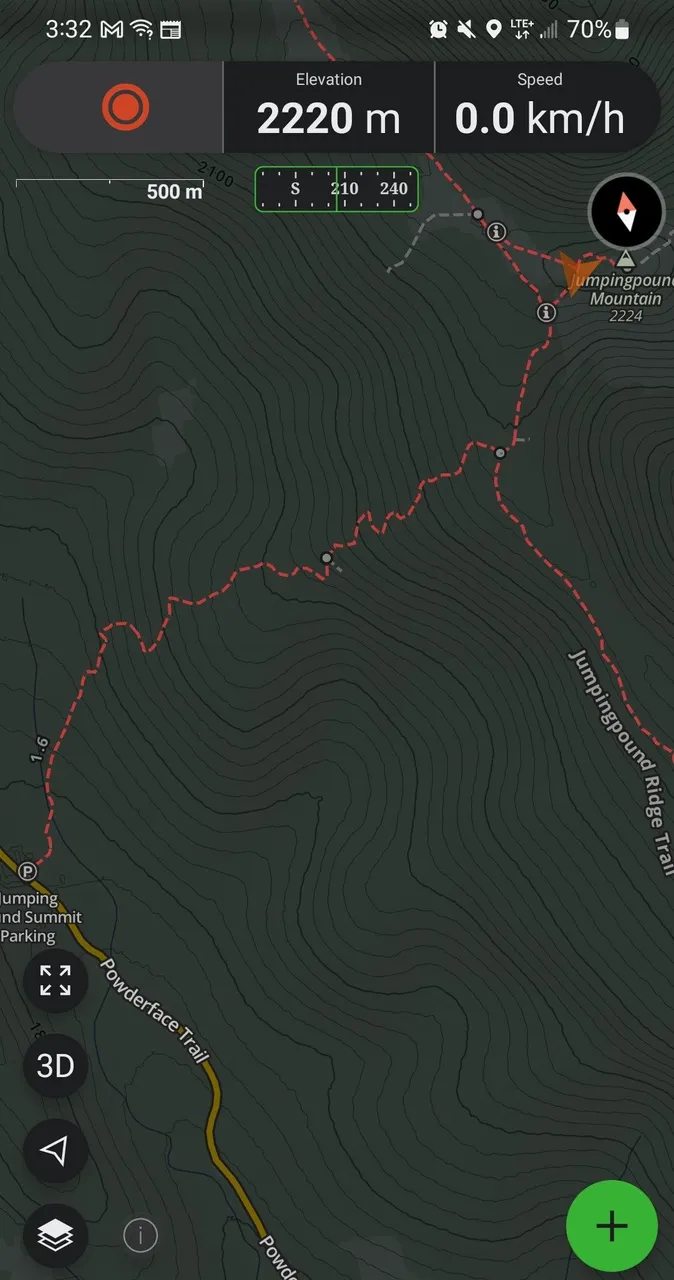
We use Gaia GPS when hiking. It shows you where you are as there is no data or coverage in most of Kananaskis. The one bar might be because this was taken at the summit. You can see the ridge trail which connects the peaks and the parking at the side of the back-country road at the bottom of the valley.
Endless miles of nature all within an hour drive of a large city. This is why we love Western Canada. Nothing beats a Labour Day Long Weekend hiking and camping with friends and family.
Thanks for reading and I hope you enjoyed the view :)

All photos taken with an S22 or Iphone 15 and are unfiltered