Hello hello, I wish God bless you and you are enjoying good health, happy to share with you a new adventure on this occasion a visit to the Orinoco River in the municipality General Manuel Cedeño Bolivar state; This part of the river marks the border between the states of Bolivar and Guarico (in the towns of Caicara del Orinoco, capital of the aforementioned municipality and Cabruta), to access it you can do it from Ciudad Bolivar (capital of Bolivar state), it will take you 6 hours by road to get there, the main access route is by land, by bus or car per post, if you are in the center of the country you can move by bus starting from Maracay (Aragua state); For the more adventurous, you can travel by river by boat or canoe from the capital of the state.
Hola hola, deseo que Dios les bendiga y se encuentren disfrutando de buena salud, feliz de compartir con ustedes una nueva aventura en esta ocasión una visita al Río Orinoco en el municipio General Manuel Cedeño estado Bolívar; esta parte del Río marca el límite entre los estados Bolívar y Guárico (en las poblaciones Caicara del Orinoco, capital del municipio antes mencionado y Cabruta), para acceder puedes hacerlo desde Ciudad Bolívar (capital del estado Bolívar), te tomará 6 horas en carretera para llegar, la principal vía de acceso es terrestre en bus o carro por puesto, si te encuentras en el centro del país puedes trasladarte en bus partiendo desde Maracay (estado Aragua); para los más arriesgados pueden trasladarse por vía fluvial bordeando el Río en barquita o canoa desde la capital del estado.
The Orinoco River is the largest river in Venezuela, in its course it crosses several states, including the state of Bolivar, two bridges have been built in its path through the state: the Angostura and Orinoquia bridges (the construction of the third bridge is still in progress).
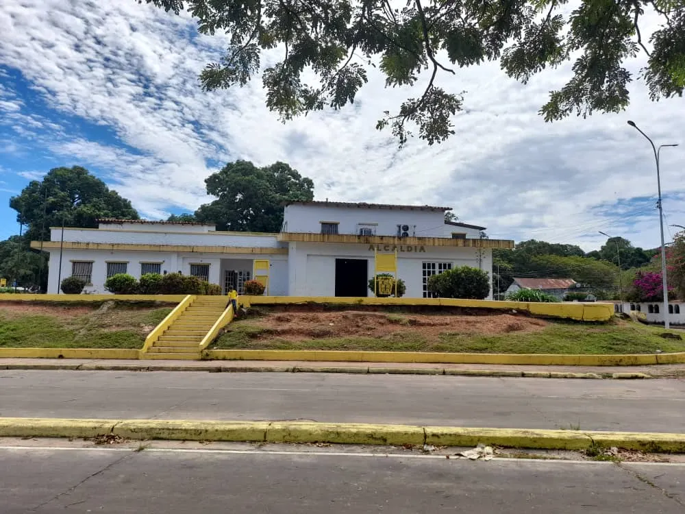
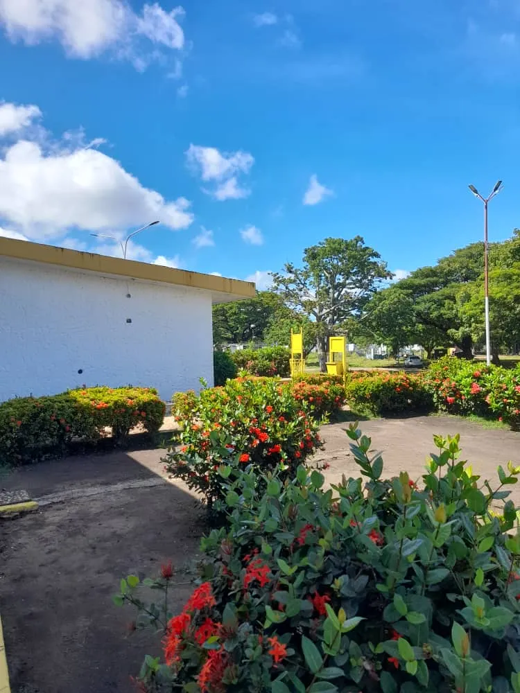
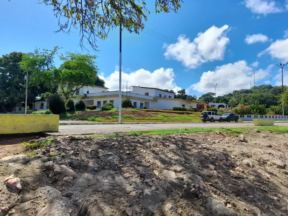
The town of Caicara del Orinoco is located in the west of the state in front of the Orinoco River; the mayor's office of the municipality has its headquarters very close to the Orinoco River, this privileged location offers a beautiful view of the landscape that contrasts perfectly with the municipal government house, crossing the avenue you are in front of the river father, from where you can take beautiful pictures, there are also gardens and walkways to enjoy a beautiful walk with the family.
El río Orinoco es el más grande de Venezuela, en su curso atraviesa varios estados, entre ellos el estado Bolívar, a su paso por este estado se han construido dos puentes: el de Angostura y el Orinoquia (la construcción del tercer puente sigue en marcha).
La población Caicara del Orinoco se ubica al oeste del estado frente al Río Orinoco; la alcaldía del municipio tiene su sede muy cerca del Río Orinoco, esta ubicación privilegiada ofrece una hermosa vista del paisaje que contrasta a la perfección con la casa de gobierno municipal, al cruzar la avenida estás frente al Río padre, desde donde puedes tomar hermosas fotografías, además hay jardines y caminerías para disfrutar de un hermoso paseo en familia.
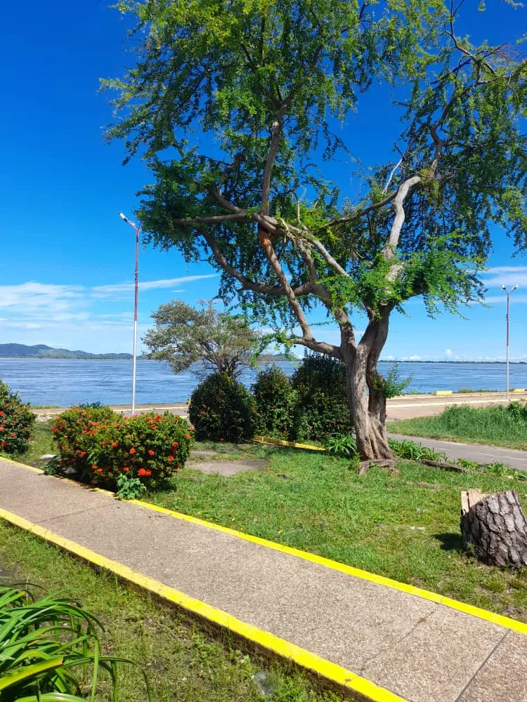
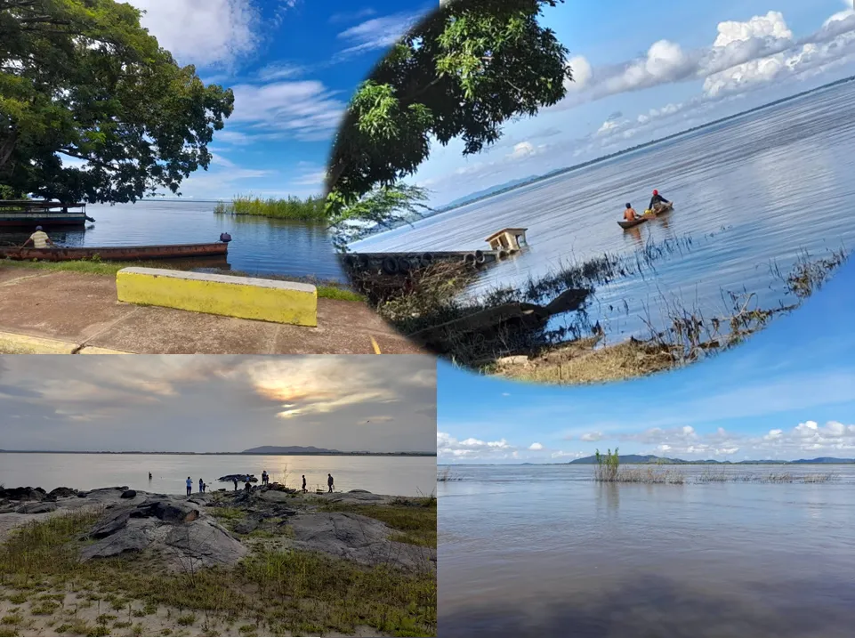
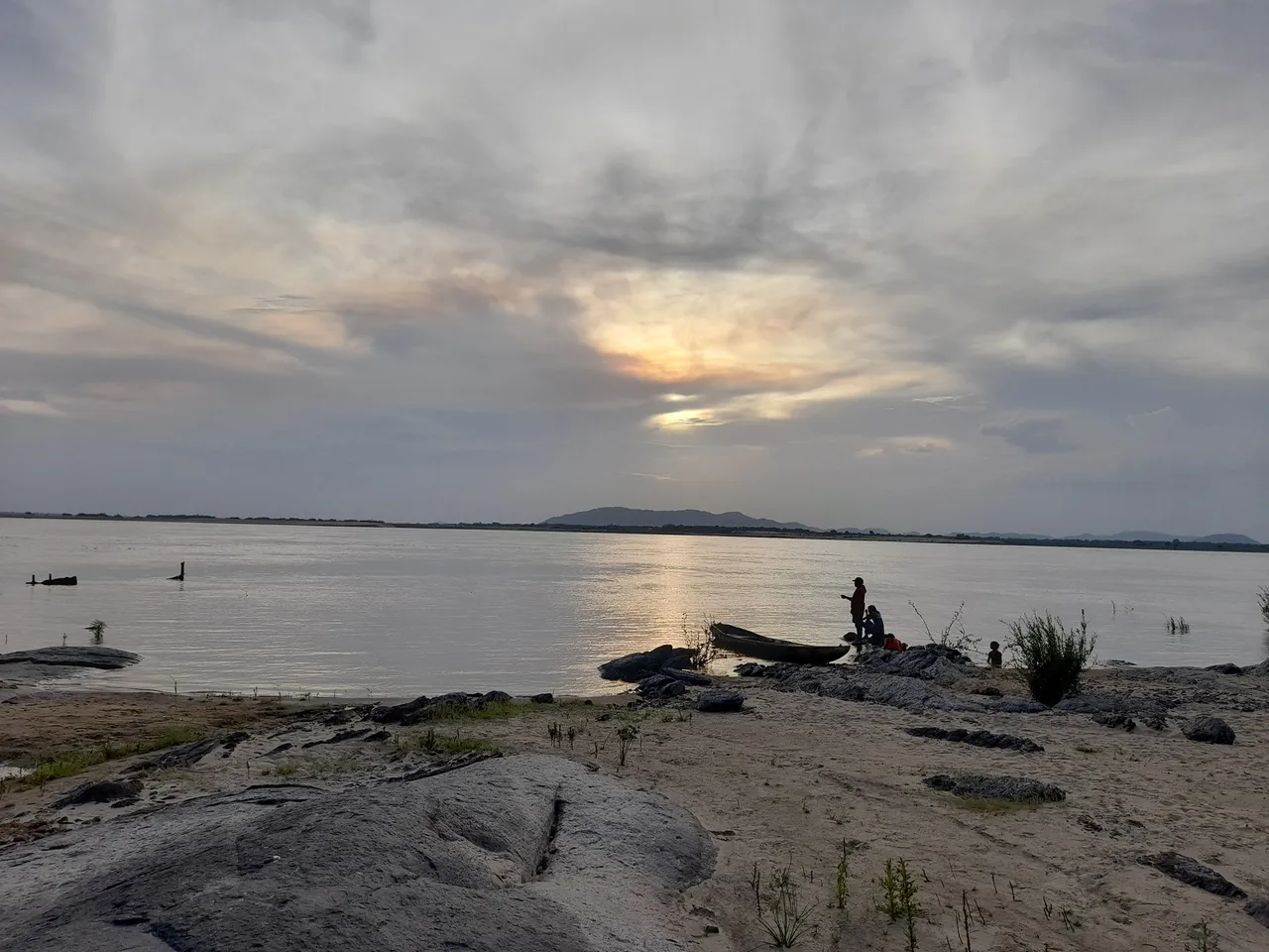
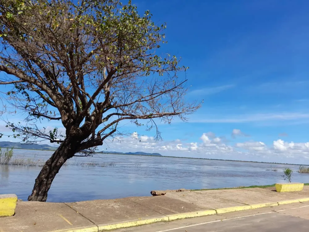
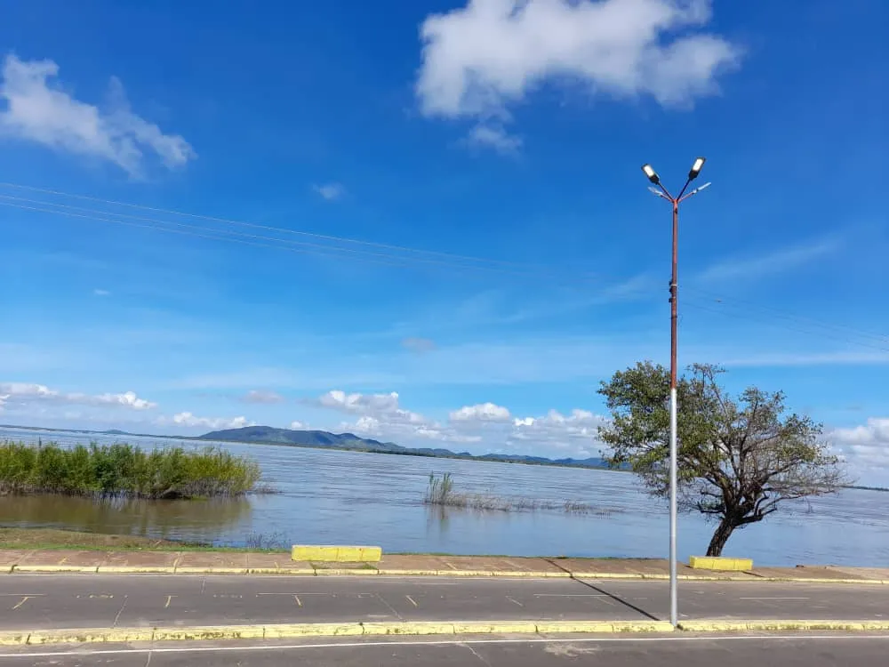
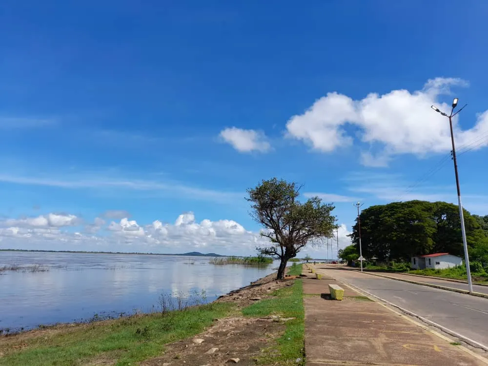
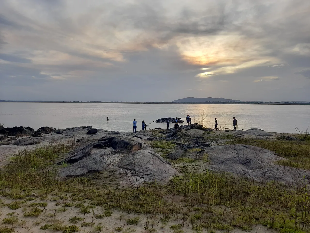
For the enjoyment of the family some benches have been built, where you can contemplate beautiful sunsets, take pictures and share with the family; these benches are located along the avenue there are also spaces provided for parking vehicles; it is common in the afternoon to see many families enjoying the sunset on the river, to get to this area you can take public transportation or if you want you can walk, the main hotels in the city are quite close to the river.
Para el disfrute de la familia se han construido unos bancos, donde se pueden contemplar hermosos atardeceres, tomar fotos y compartir en familia; estos bancos están ubicados a lo largo de la avenida también hay espacios dispuestos para estacionar los vehículos; es común en horas de la tarde ver numerosas familias disfrutando del atardecer en el río, para llegar a esta zona puedes tomar transporte público o si desea puedes caminar, los principales hoteles de la ciudad quedan bastante cerca del río.
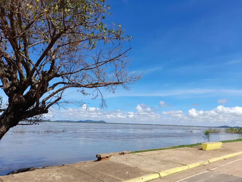
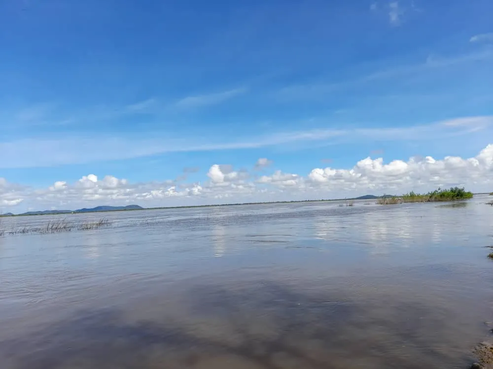
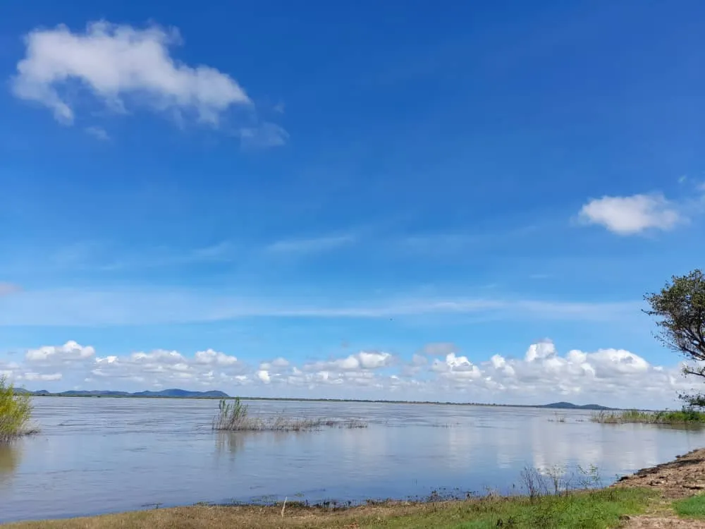
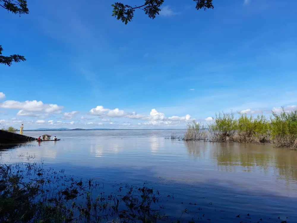
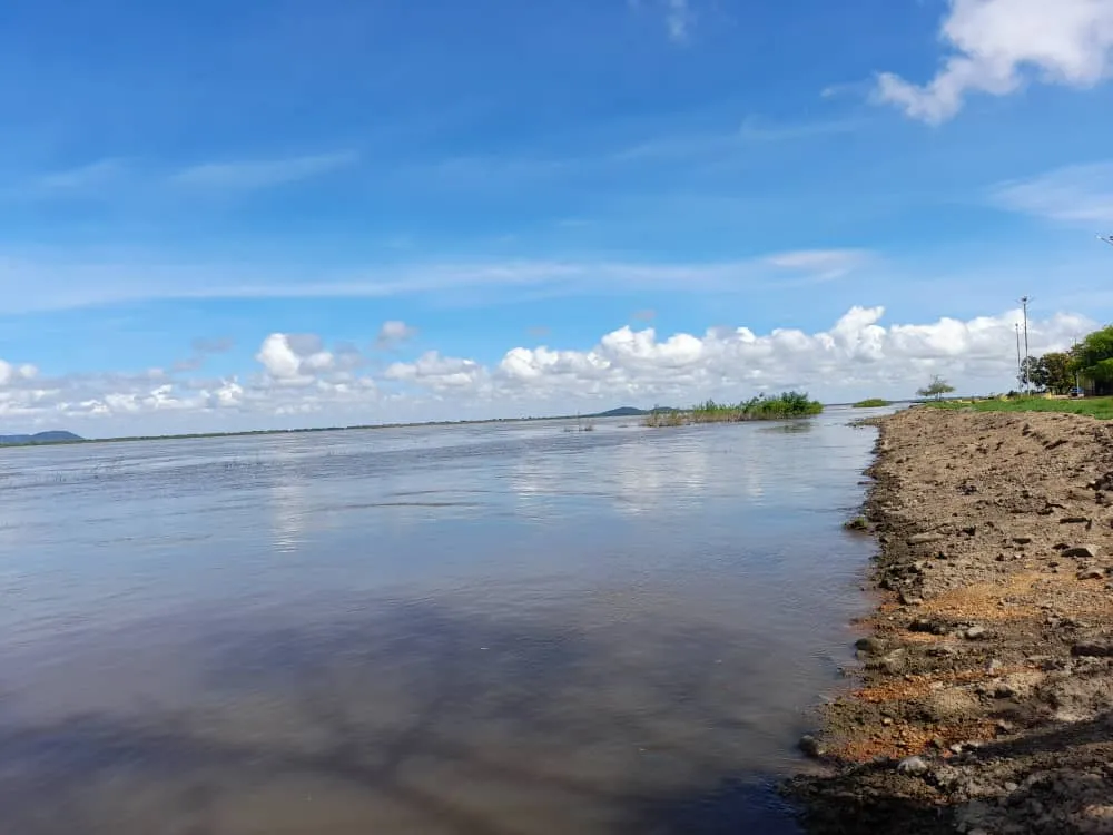
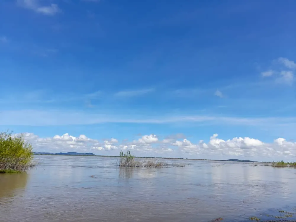
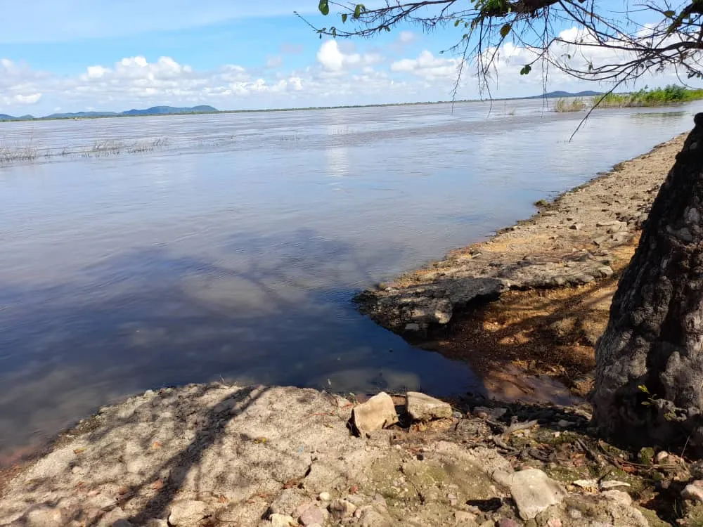
In the rainy season (May - October) the level of the river rises considerably overflowing and in many occasions it crosses the avenue, even reaching the headquarters of the Mayor's office and the Bolivar square of the city, in dry season, the landscape is totally different, you can observe rocks, aquatic plants and go down a little more towards the river, you will no longer observe it from the sidewalk or walkway if not much closer.
En la temporada de lluvias (mayo - octubre) el nivel del río crece considerablemente, desbordándose y en muchas ocasiones atraviesa la avenida, llegando incluso hasta la sede de la Alcaldía y la plaza Bolívar de la ciudad, en temporada de sequía, el paisaje es totalmente diferente se pueden observar rocas, las plantas acuáticas y bajar un poco más hacía el río, ya no lo observaras desde la acera o caminería tendrás la oportunidad de verlo más de cerca.
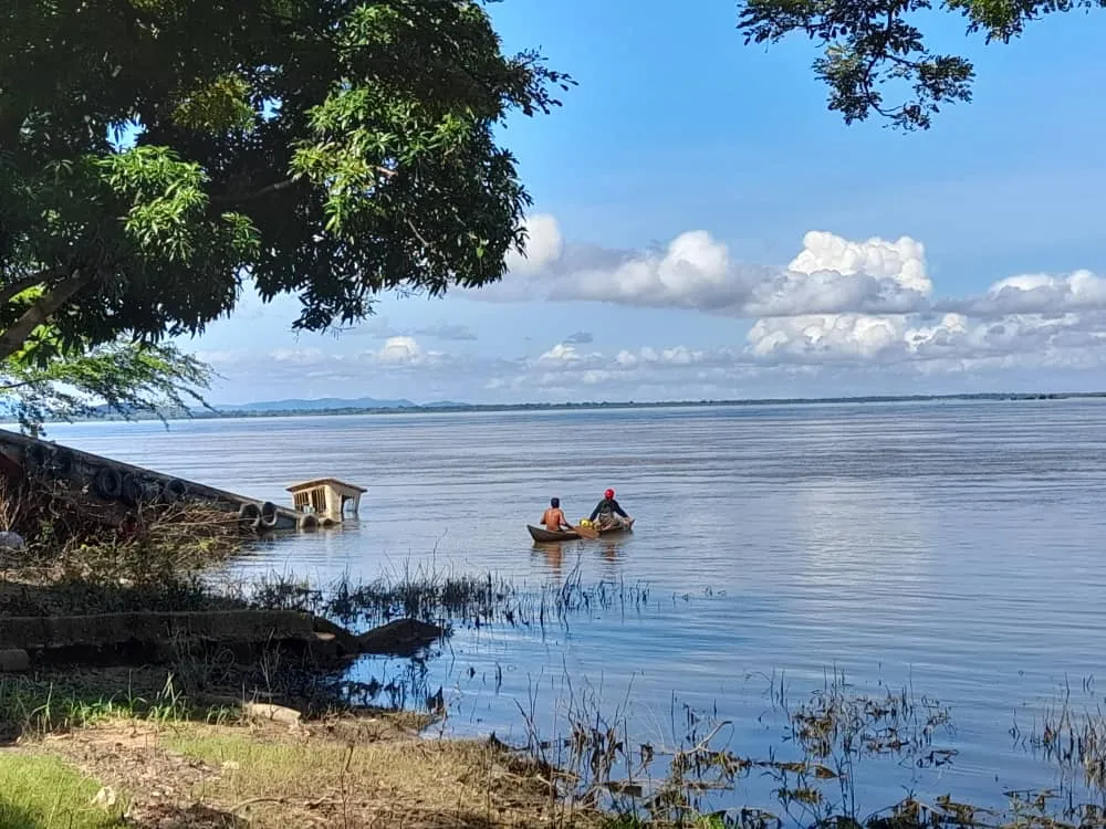
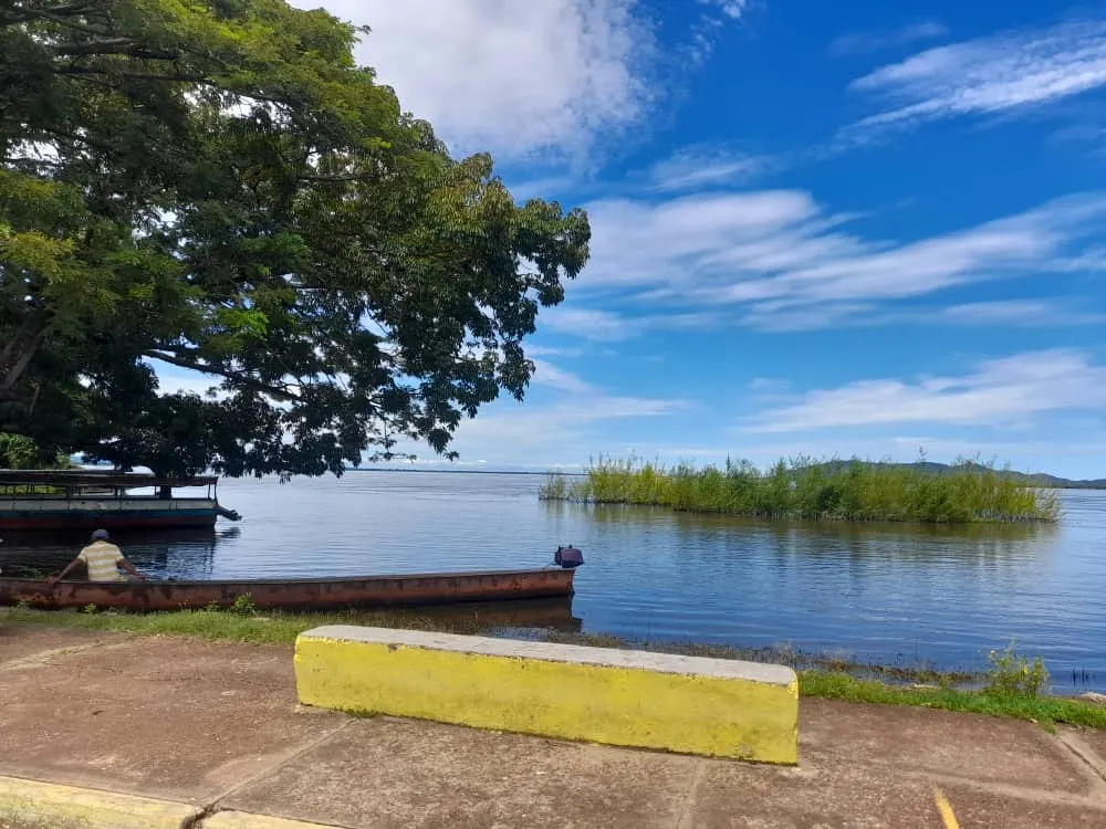
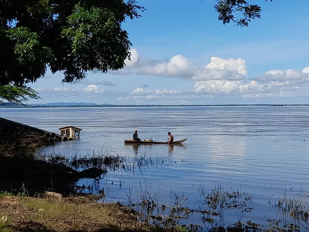
When the river grows, it is very common to observe the canoes or curiaras near the river bank; in the dry season they are sighted farther away, because of the presence of rocks they cannot navigate very close to the shore; These canoes are generally used for fishing, for the transfer to the town of Cabruta, the so-called barquitas and the chalanas are used for cars, if you want to better appreciate the river you can take a chalana to the mentioned town and from there observe the landscape and take beautiful pictures, since it moves slower than the barquitas, you can also enjoy the gentle breeze, since this means of transport has no roof which allows a wider view of the place.
Cuando el río crece, es muy común observar las canoas o curiaras cerca de la orilla del río; en la temporada de sequía se avistan más a lo lejos, ya que por la presencia de las rocas no pueden navegar muy cerca de la orilla; estas canoas generalmente se usan para pescar , para el traslado hacia la población de Cabruta, se emplean las llamadas barquitas y las chalanas para los carros, si quieres apreciar mejor el río puedes trasladarte en chalana hacia la población mencionada y desde ella observar el paisaje y tomar hermosas fotos; ya que esta se desplaza más lento que las barquitas, además puedes disfrutar la suave brisa, dado que este medio de transporte no tiene techo lo cual permite una visión más amplia del lugar.
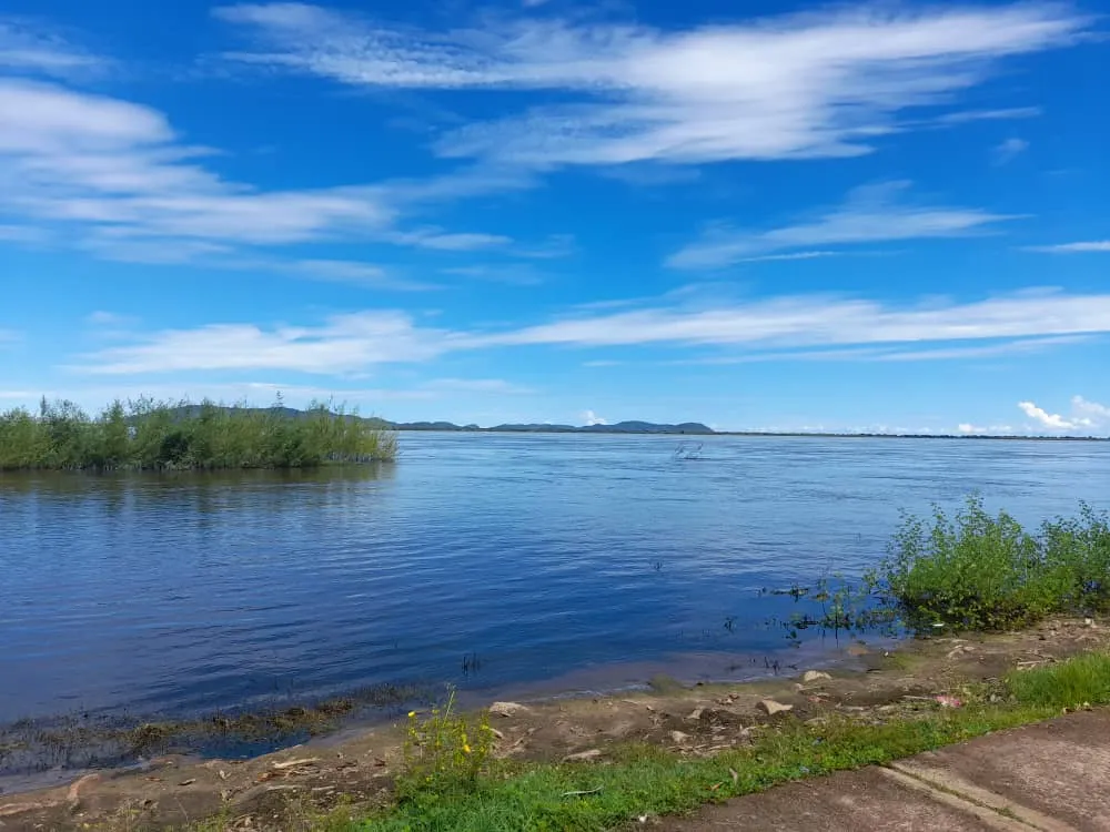
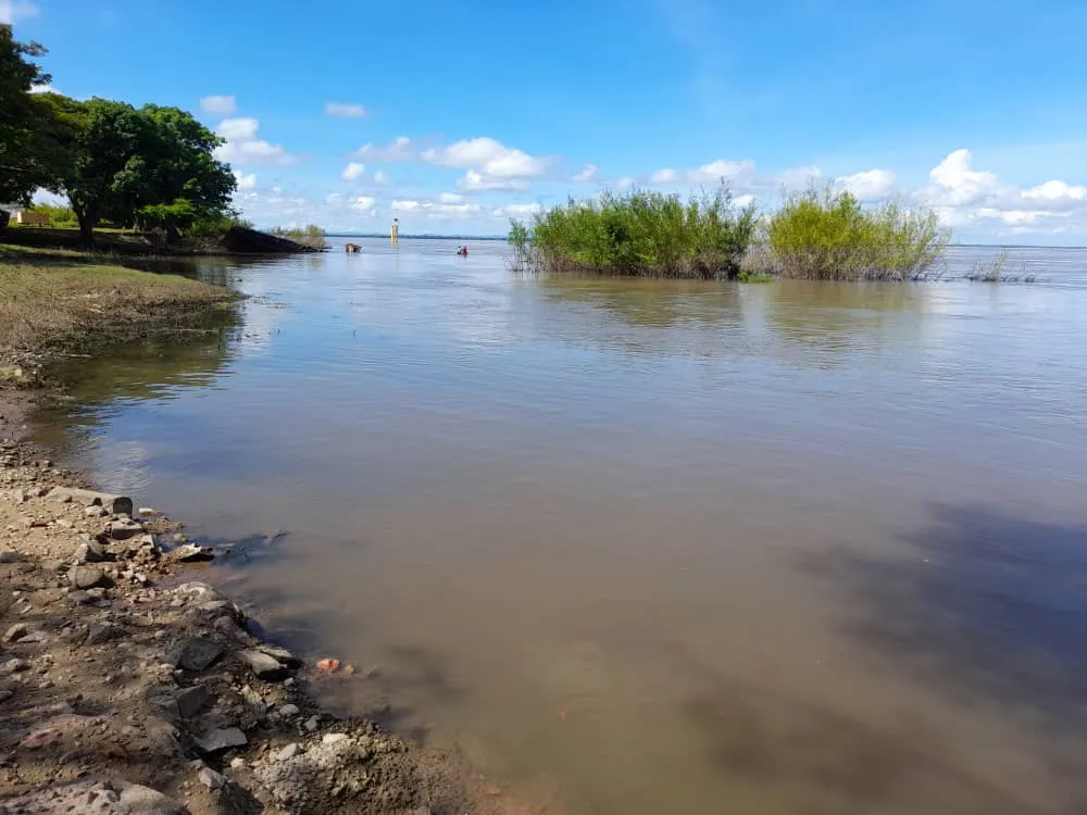
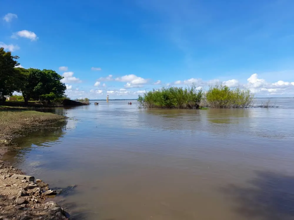
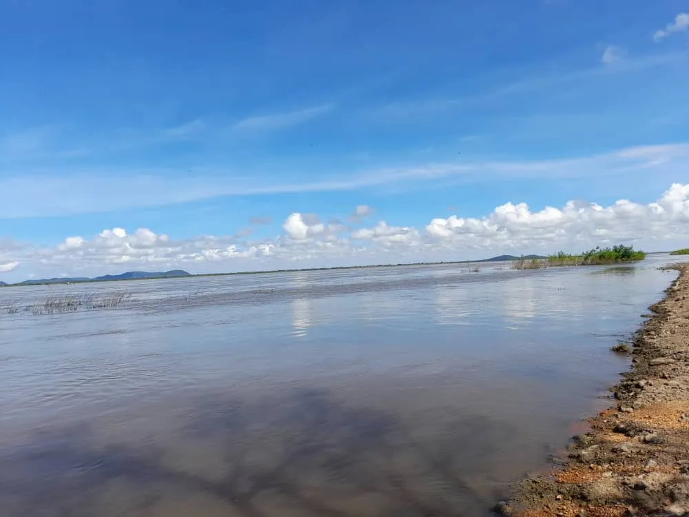
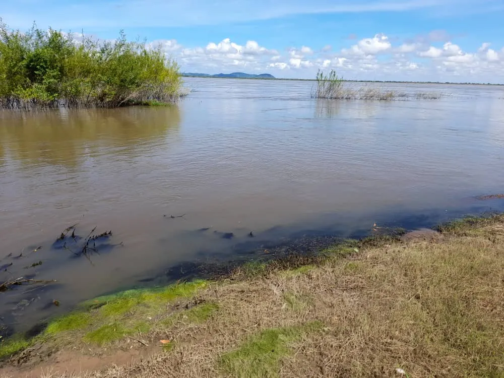
The visit to this beautiful place was made about 1 week ago and it was observed that the water level is dropping and you can see some rocks and tree roots, also the river bank already shows its layer of earth, which indicates that soon the waters will return lower and the rocks will be uncovered, offering a different and beautiful landscape to tourists and visitors who visit this beautiful place.
La visita a este hermoso lugar se realizó hace aproximadamente 1 semana y se pudo observar que el nivel del agua está bajando ya se pueden ver algunas rocas y raíces de arboles, además la orilla del río ya muestra su capa de tierra, lo cual indica que pronto las aguas volverán más abajo y las rocas quedaran descubiertas, ofreciendo un diferente y hermoso paisaje a los turista y visitantes que dan cita este bello lugar.
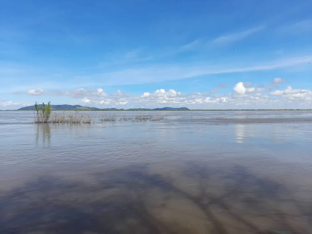
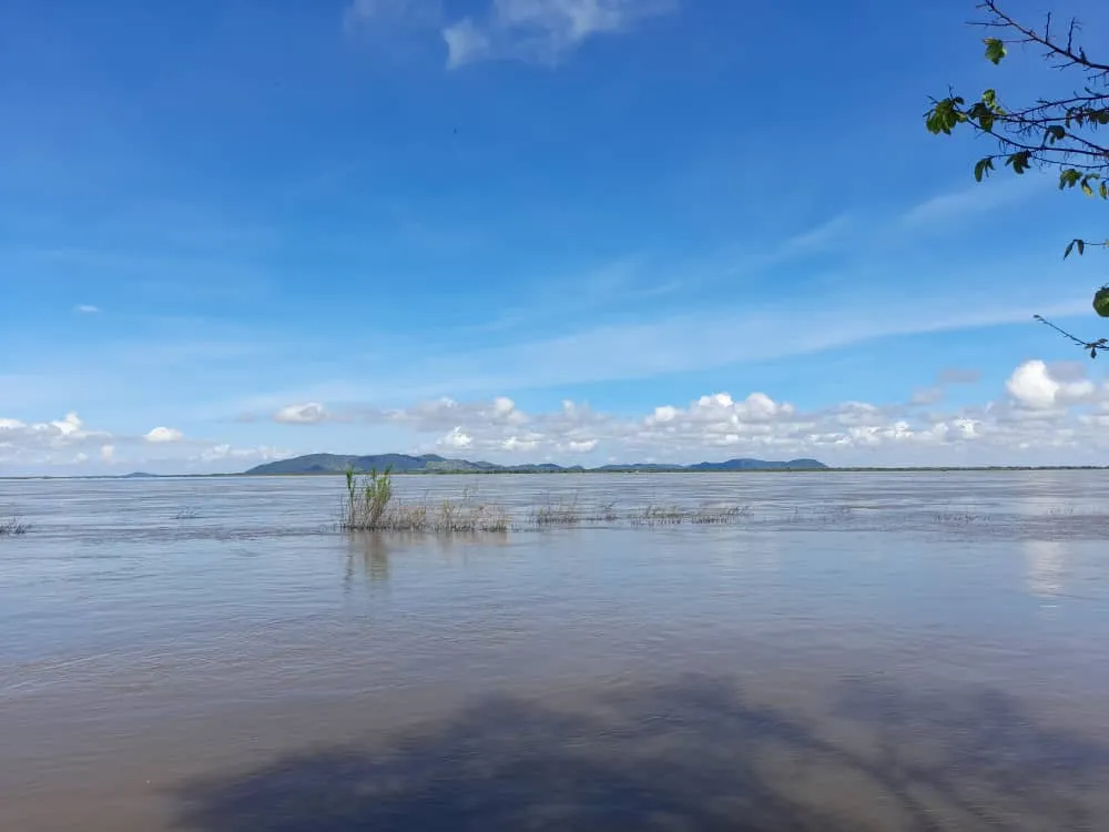
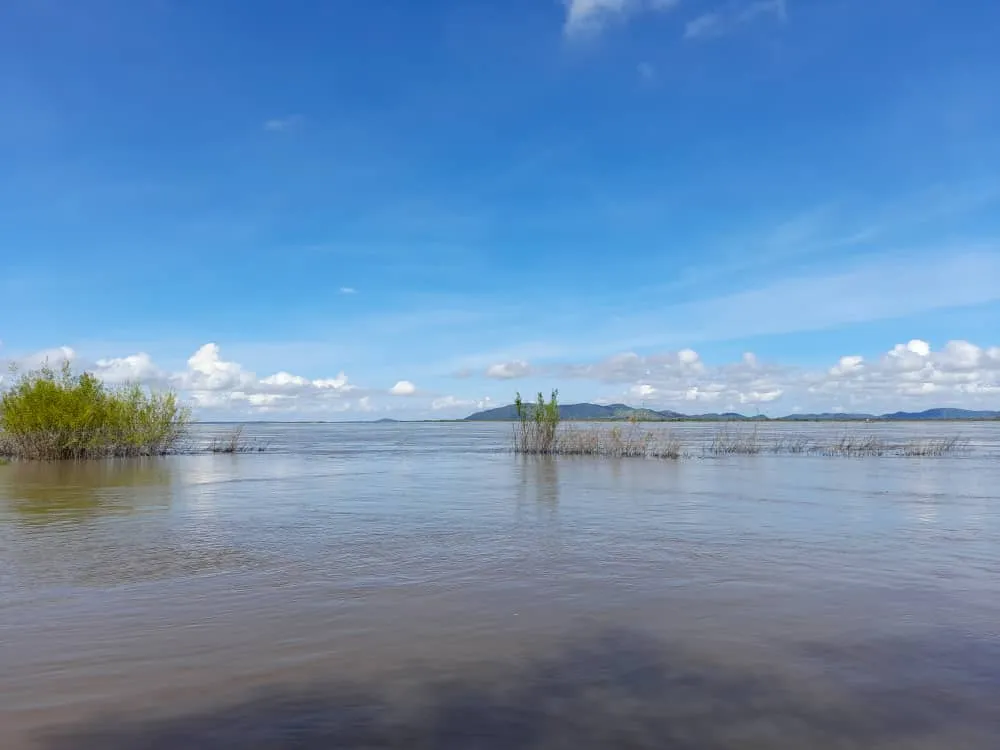
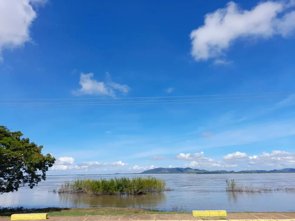
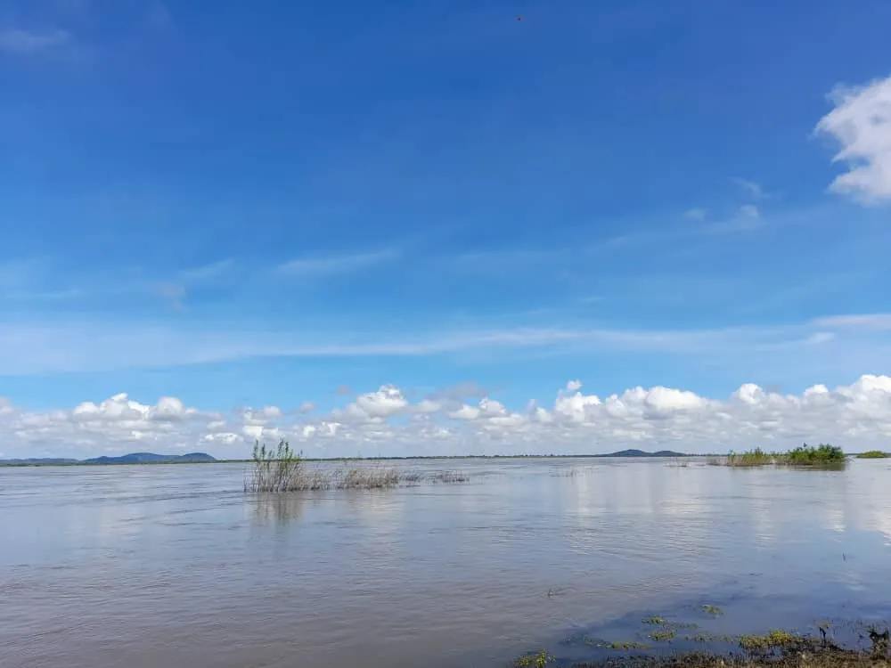
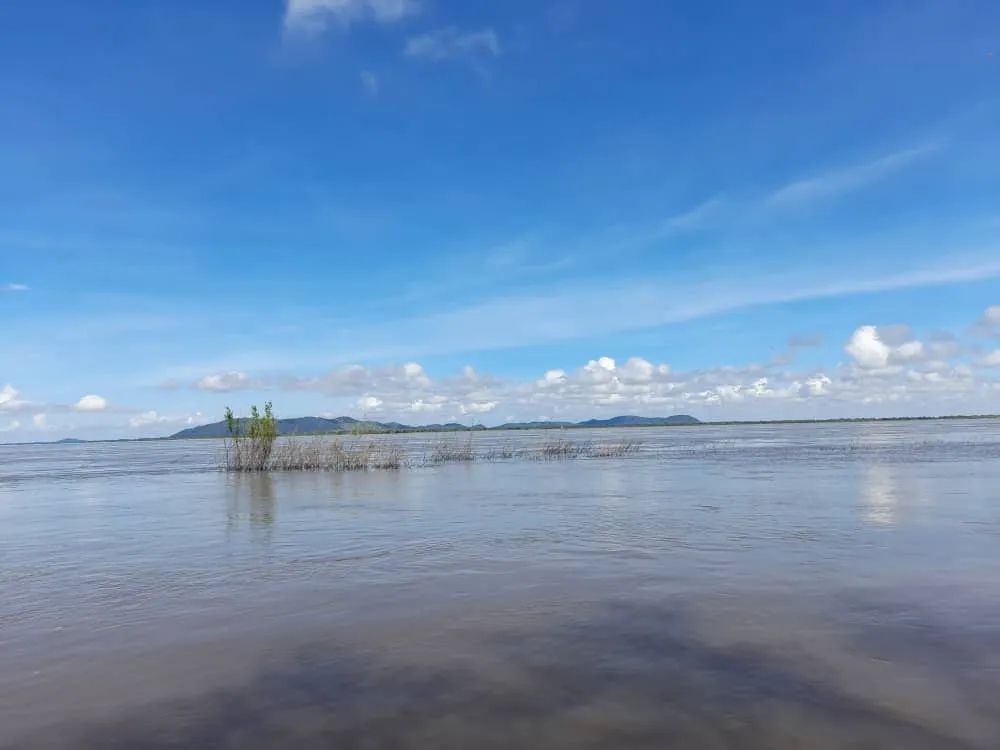
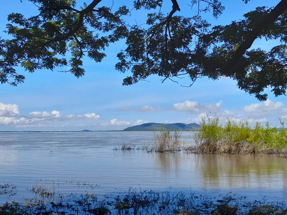
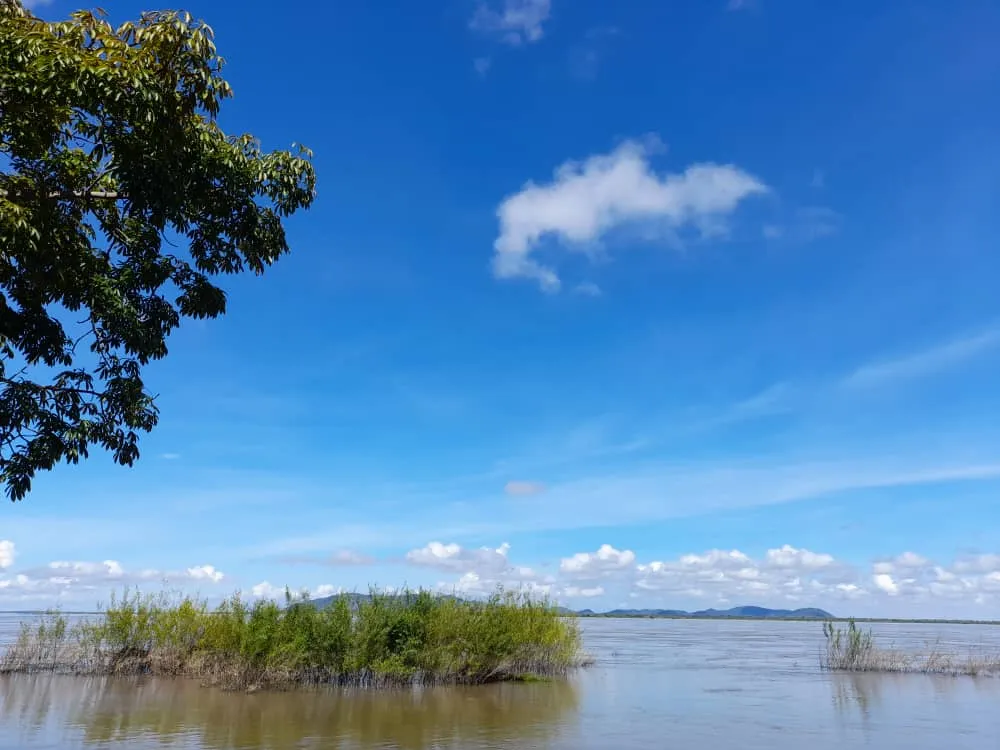
So far my tour in this beautiful place in the state of Bolivar, it was a great experience, when I have the opportunity I will return again to see the sunsets of this beautiful city, although it is distant from the state capital, the trip is worth it to contemplate and enjoy beautiful landscapes, something that caught my attention is the hill that is observed at the bottom of the river, exactly there is located the population of Cabruta, at night you can see the lights of this city, which is a fishing port.
Hasta aquí mi recorrido en este hermoso lugar del estado Bolívar, fue una gran experiencia, cuando tenga la oportunidad volveré nuevamente para contemplar los atardeceres de esta linda ciudad, que aunque queda distante de capital del estado, el viaje vale la pena para contemplar y disfrutar bellos paisajes, algo que lamó mi atención es el cerro que se observa al fondo del río, allí exactamente se ubica la población de Cabruta, en la noche es posible visualizar las luces de esta ciudad, que es un puerto pesquero.
¡Bendiciones!
Blessings!

Translated with https://www.deepl.com/translator
          All images are my own, captured by a Síragon LC-3000 camera.

   Todas las imágenes son de mi autoría, capturadas por una cámara Síragon LC-3000.