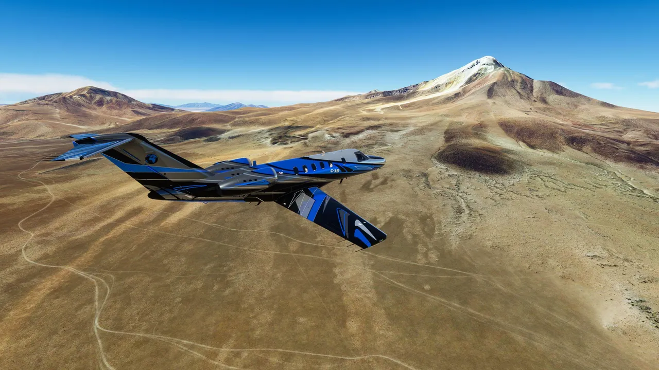
After a month without a Microsoft flight simulator post, it's time to advance with my journey, flying around the world in real-time and visiting all 7 continents on earth. Thus far I have crossed North America and soon finishing the flight over South America.
If you have missed my previous world tour content and want to see these posts then the list is here.
First flight Alaska to Canada
Second Part Canada to USA
Third part Washington to New Mexico
4-th part New Mexico to Floida
5-th part Florida > Bahamas > Haiti
6-th part Haiti > Peru
7-th part Peru
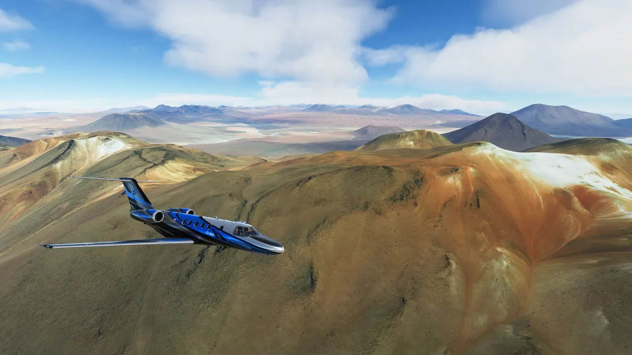
In this post, you see content mostly from Chile and but also from Bolivia and Argentina. Most of the time I flew along the borders of these countries and discovered the mountain range. This might be one of the most colorful posts this far in my journey due to colored landscapes.
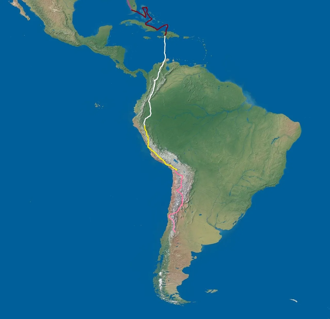
This map shows the flight route in the near past. The pink line marks the locations of this post.
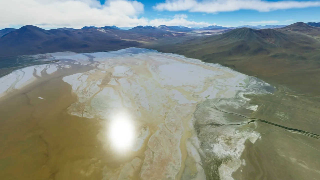
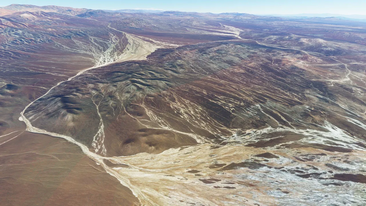
I started up from Northern Chile but right away crossed the border over to Bolivia to see the wide desert area. This is mount Tunupa.
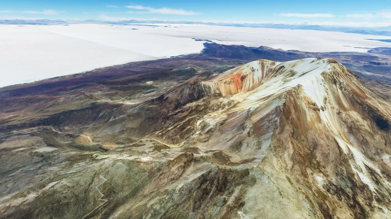
See how bright the surrounding desert is. At some time of the year, all this is covered with shallow water.
The same mountain but different angle from the white desert.
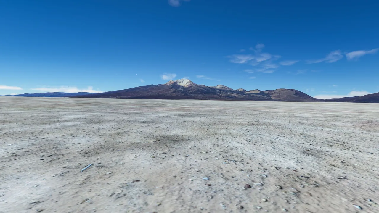
Mostly this area is very deserted.
This cool shallow lake is located in the southern tip of Bolivia, right next to the Chile and Argentinian border.
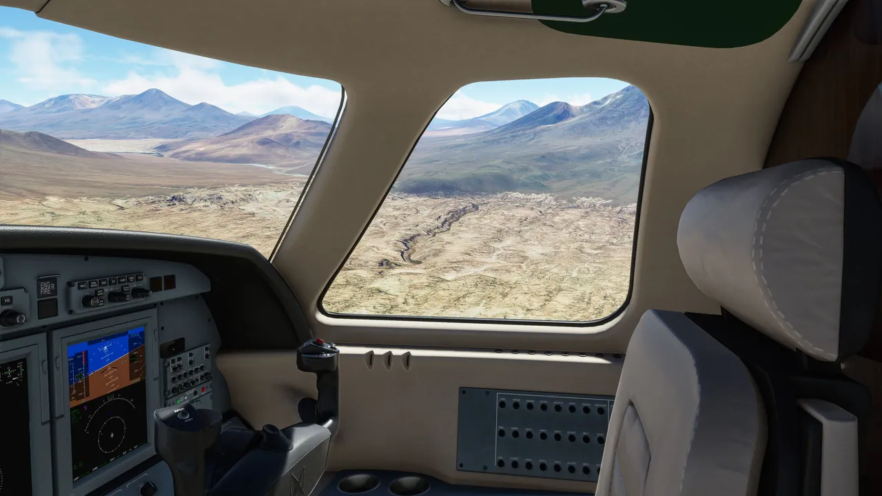
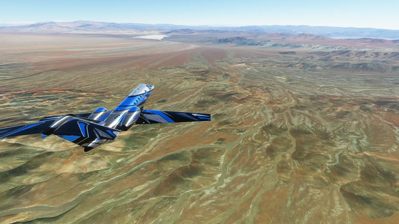
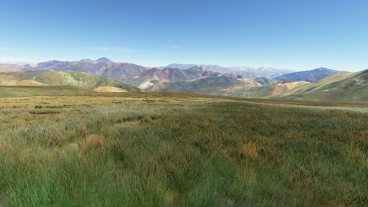
I took my course to Chile and soon arrived in the Atacama desert. Commonly known as the driest place on earth. On average this place gets only 15 millimeters of rain annually. In some locations in the Atacama only 1 to 3 millimeters per year, pretty crazy!
It already looks very dry. Cool waterflow marks tho. The place is so dry so when it rains it does not drain into the ground instantly due to hardened soil.
From there I flew to Argentina and stopped the flight for a day.
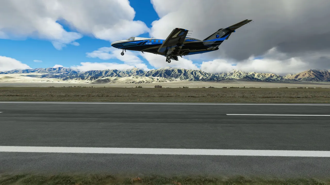
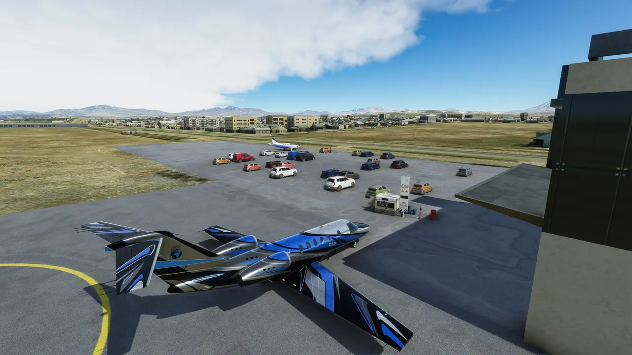
Fiambala airfield.
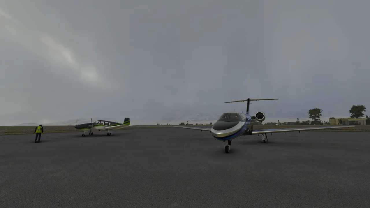
A new day and a new flight. Launching from Fiambala in Argentina.
Took the course back to Chile
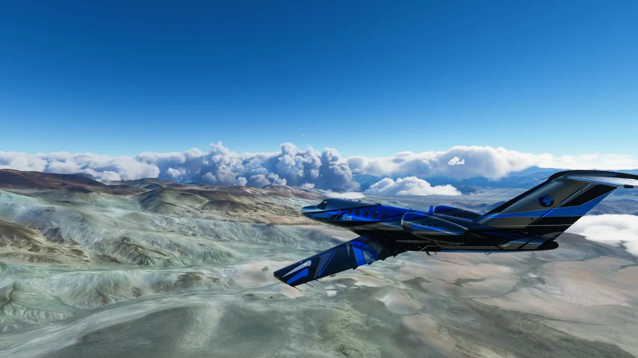
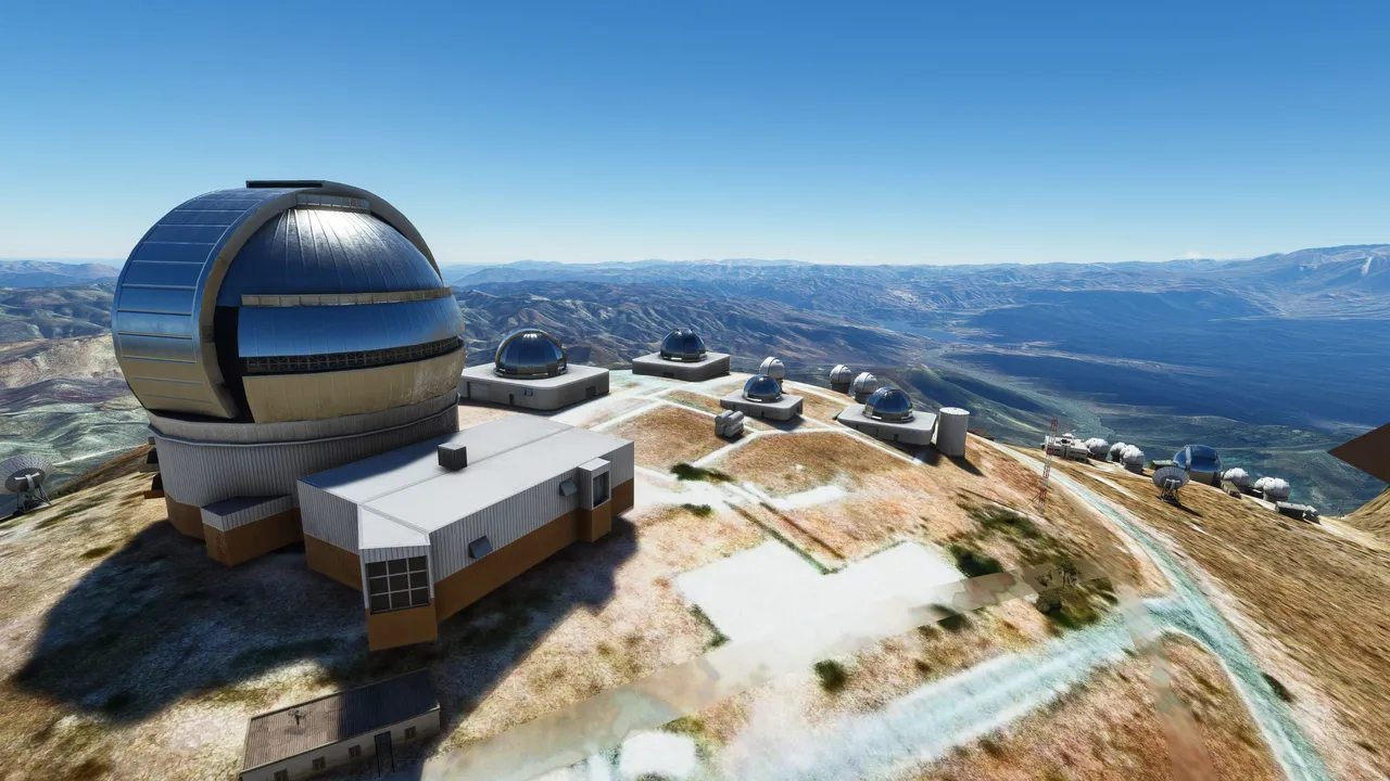
This is Totolo mountain observatory in Chile. It's a good place to have an observatory because this place usually has clear skies.
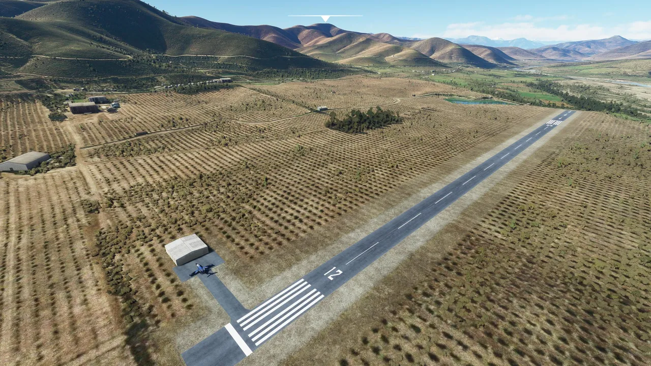
After a short while took another short refuel break in Nueva Pintacure airfield in Chile. Looks like it's some kind of farmland and a runway in the middle.
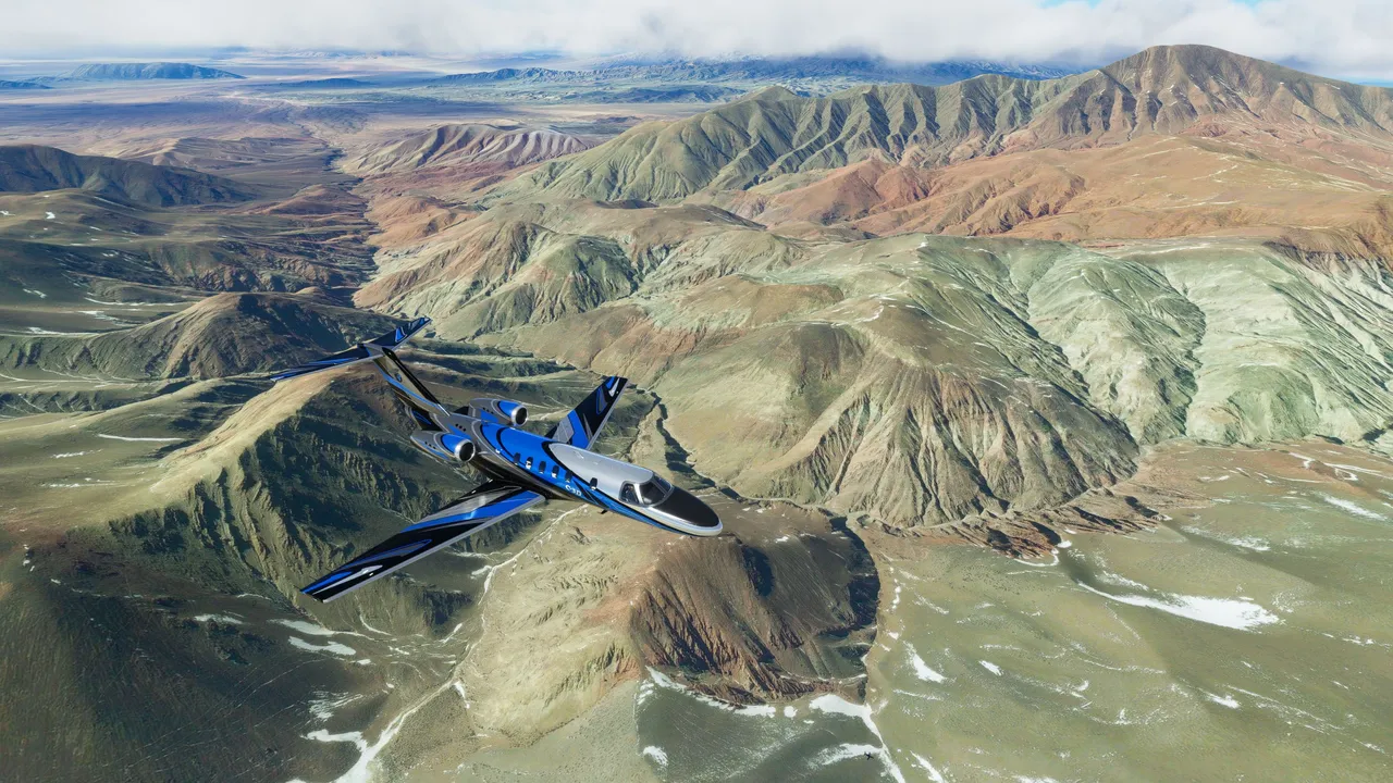
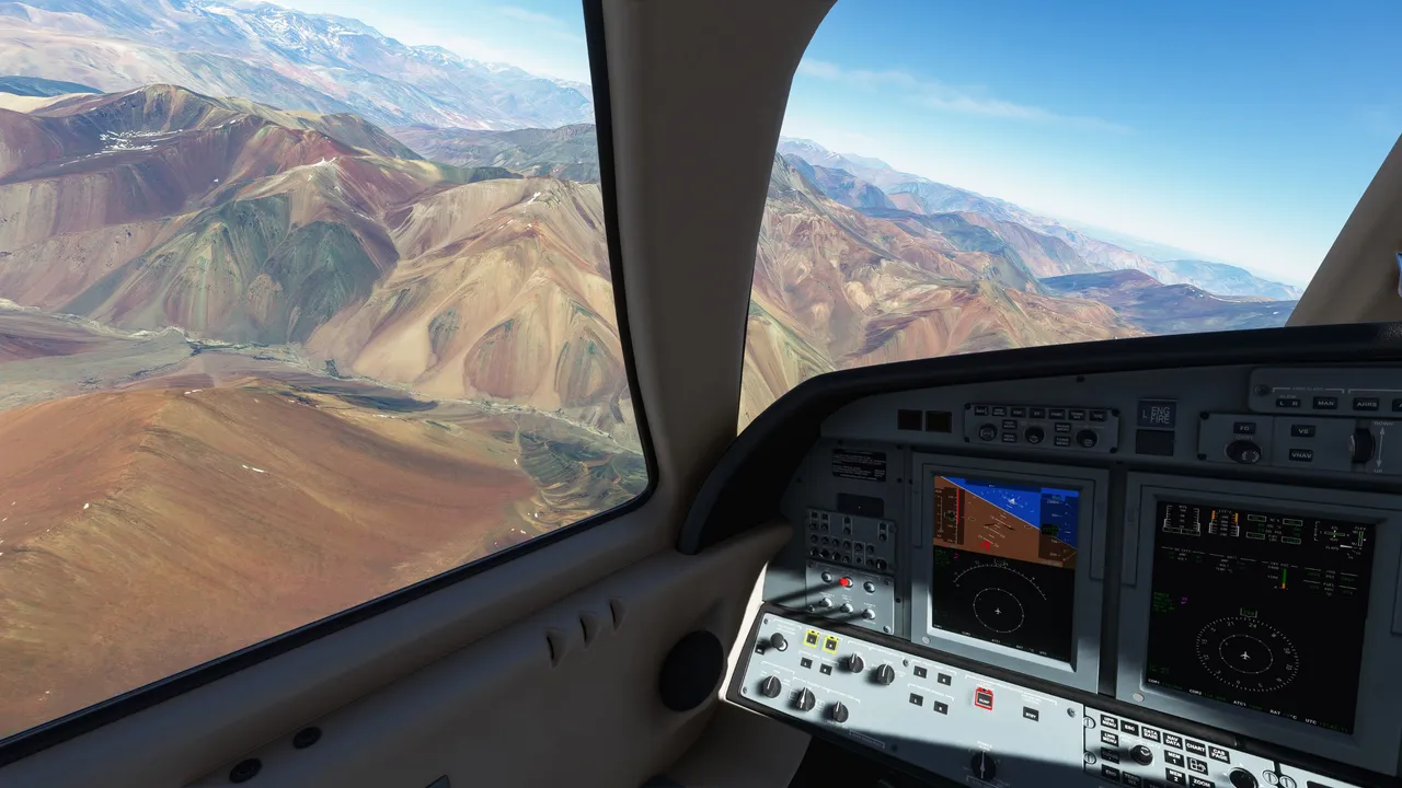
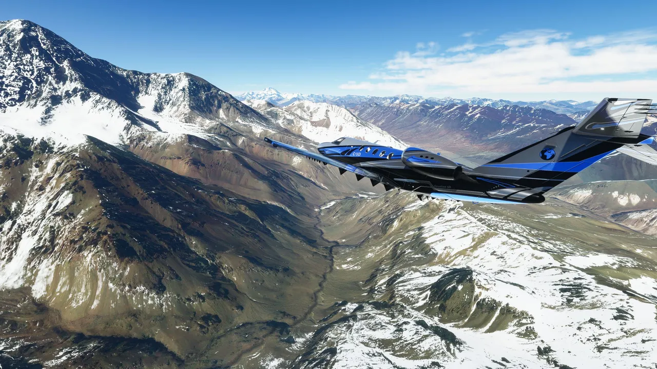
From there I took the last leg of this flight to the south along the Chile and the Argentinian border.
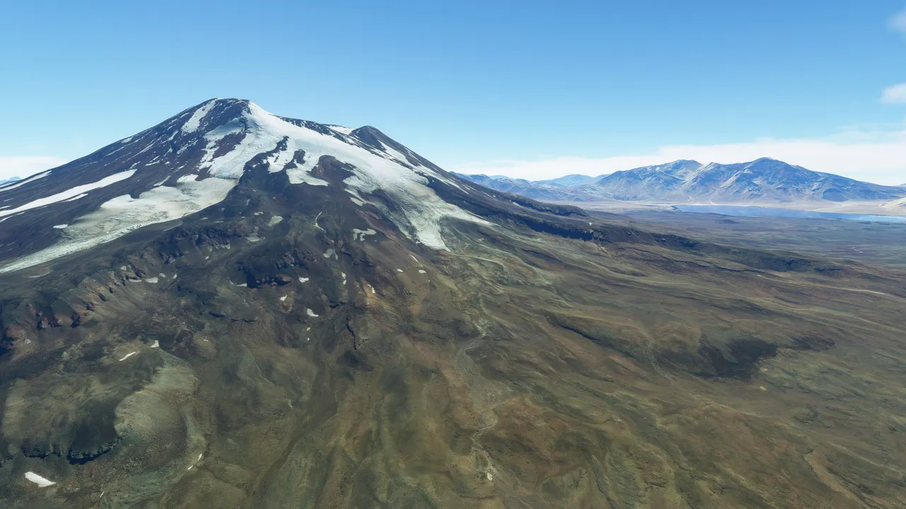
This is mount Tupungato. Reaching up to 6570 meters in height. This mountain is exactly on the border of two countries.
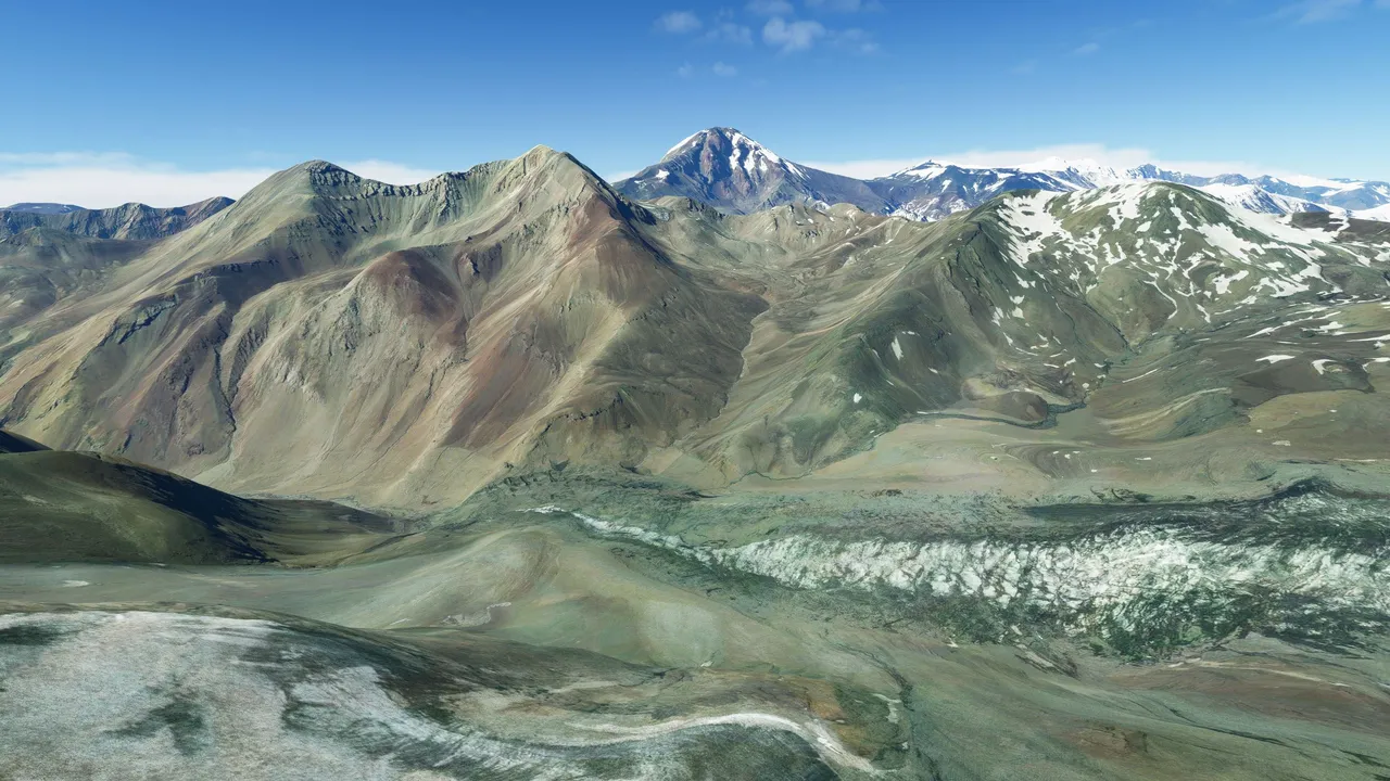
This here is Maipo volcano. Again, exactly on the border of these two countries.
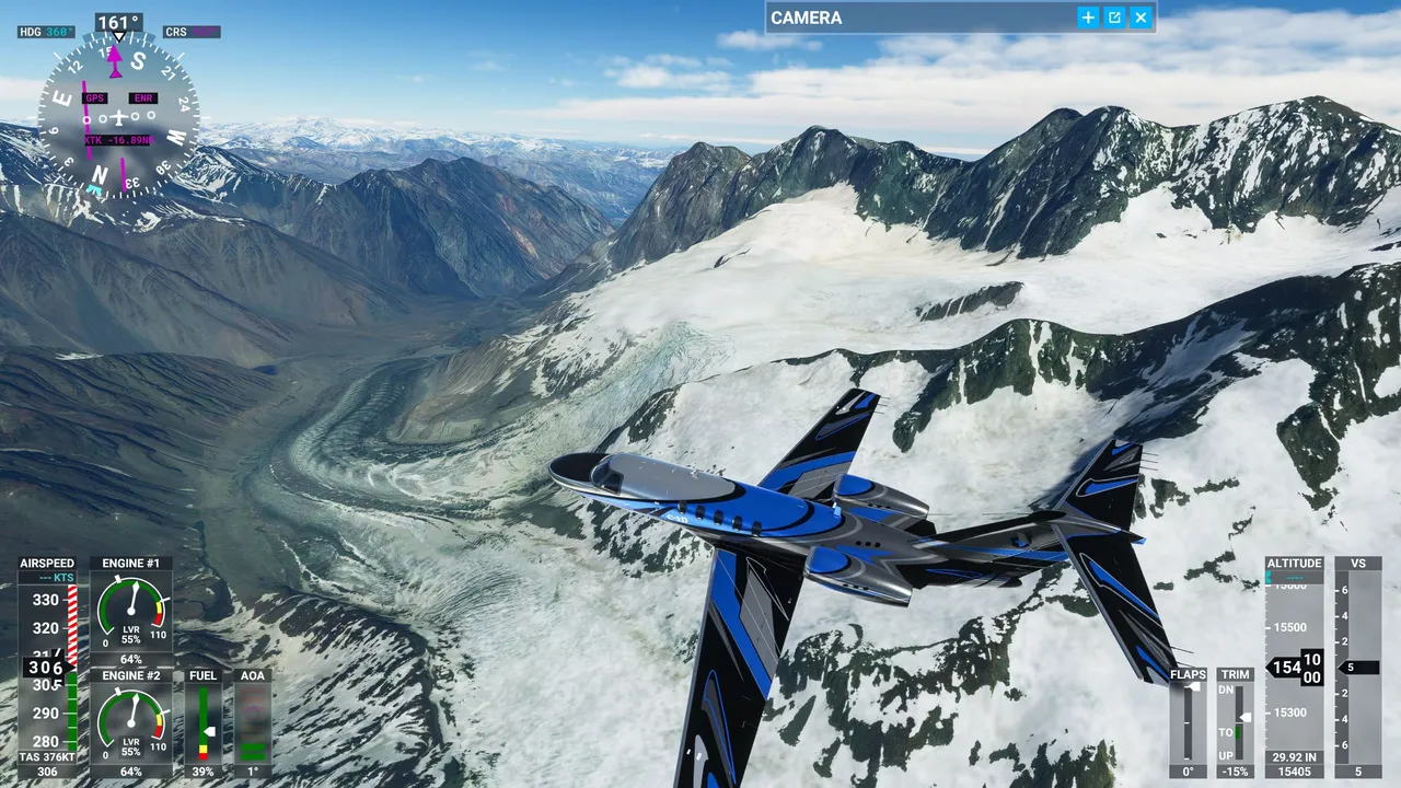
Nearby I saw the first glacier of South America. Glaciers are getting very common soon, the more south we go. Especially in Patagonia but this is the topic of the next post.
I landed at the Malargue airport in Argentina. This is a little out of the mountain range.
This is it for this post. It is very little left of south America till I reach the southernmost tip of the continent. From there I go over the sea to Antarctica and see what there is to see.
As always, I hope you enjoyed to virtually travel through the world with me and see what there is to see from the air.