I decided to begin with something totally crazy in the flight simulator. I am going to visit all 7 continents, which means starting with North America > South America > Antarctica > Africa > Asia > Australia and going back to Europe, finally finishing on Greenland. This is an insane undertaking because I will be flying exactly as long as in real life.
Of course, I go from airport to airport because I need refueling often.
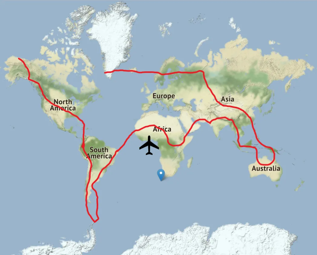
My Journey will be something like this. It is not the exact route but close enough.
I will also use the real-time weather all over the world and real-time daylight conditions. So it's going to be absolutely awesome to explore all over the globe this way.
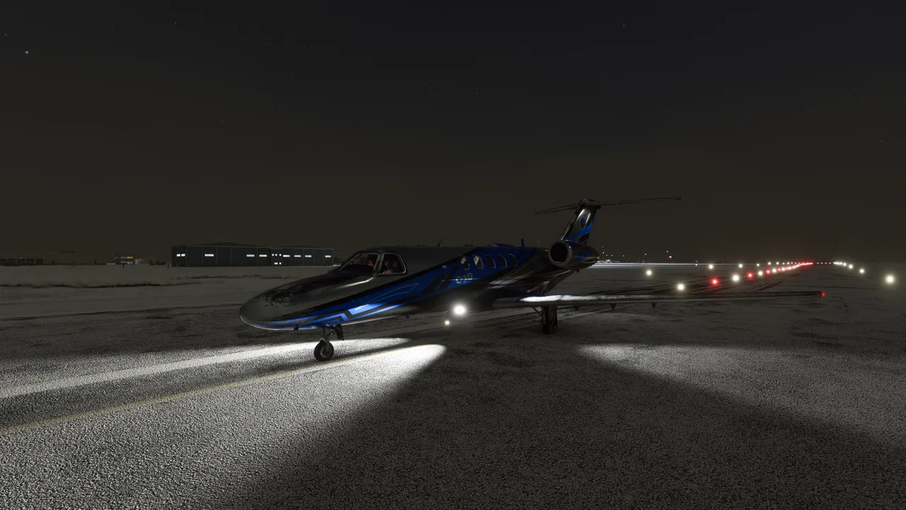
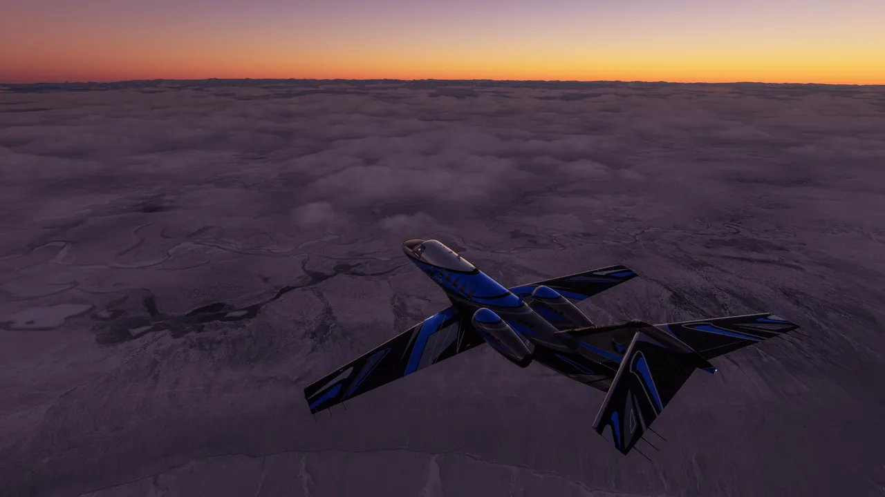
I will be using Cessna Citation CJ4 aircraft. It's a pretty small plane with two jet engines. Its not too fast and also not too slow for flights this long.
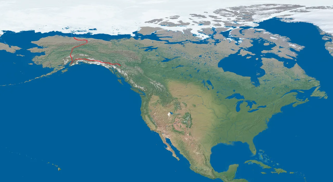
As a matter of fact, I already started my journey and this far I have reached from Northern Alaska to Canada.
I will be following my flights on this map.
You don't see much because the line is so small, let's crop a little.
This is my Journe this far.
Of course, I will post about my Virtual tour over the globe here as well. Let's get to the photo content.
I started up from a small airport in northern Deadhorse Airport in northern Alaska. Of course, it's totally dark there, this place sees no daylight at the moment. The time was mid-day at this moment.
Took my course to the south and fortunately I started to see some light soon enough because southern Alaska actually has some short daylight hours.
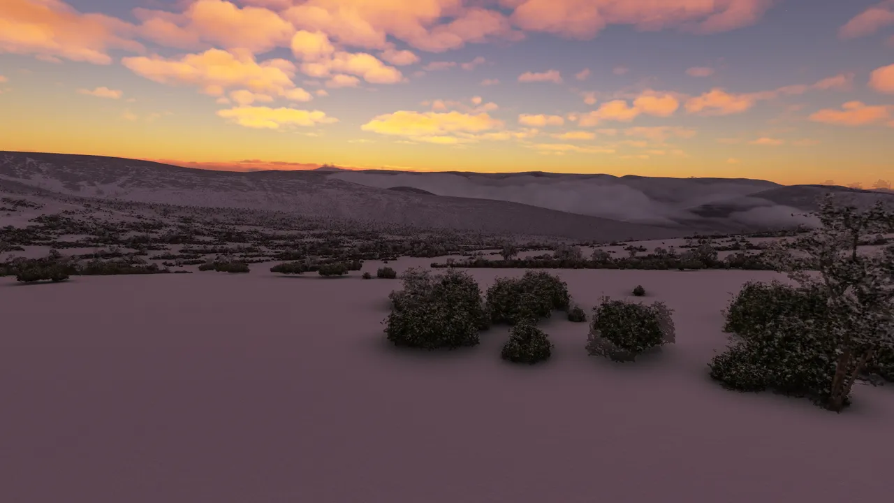
Beautiful snowy nature...
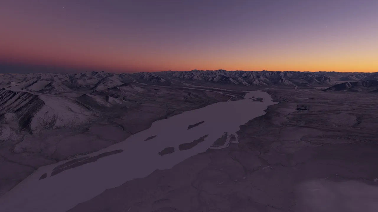
A view on the ground level, central Alaska somewhere.
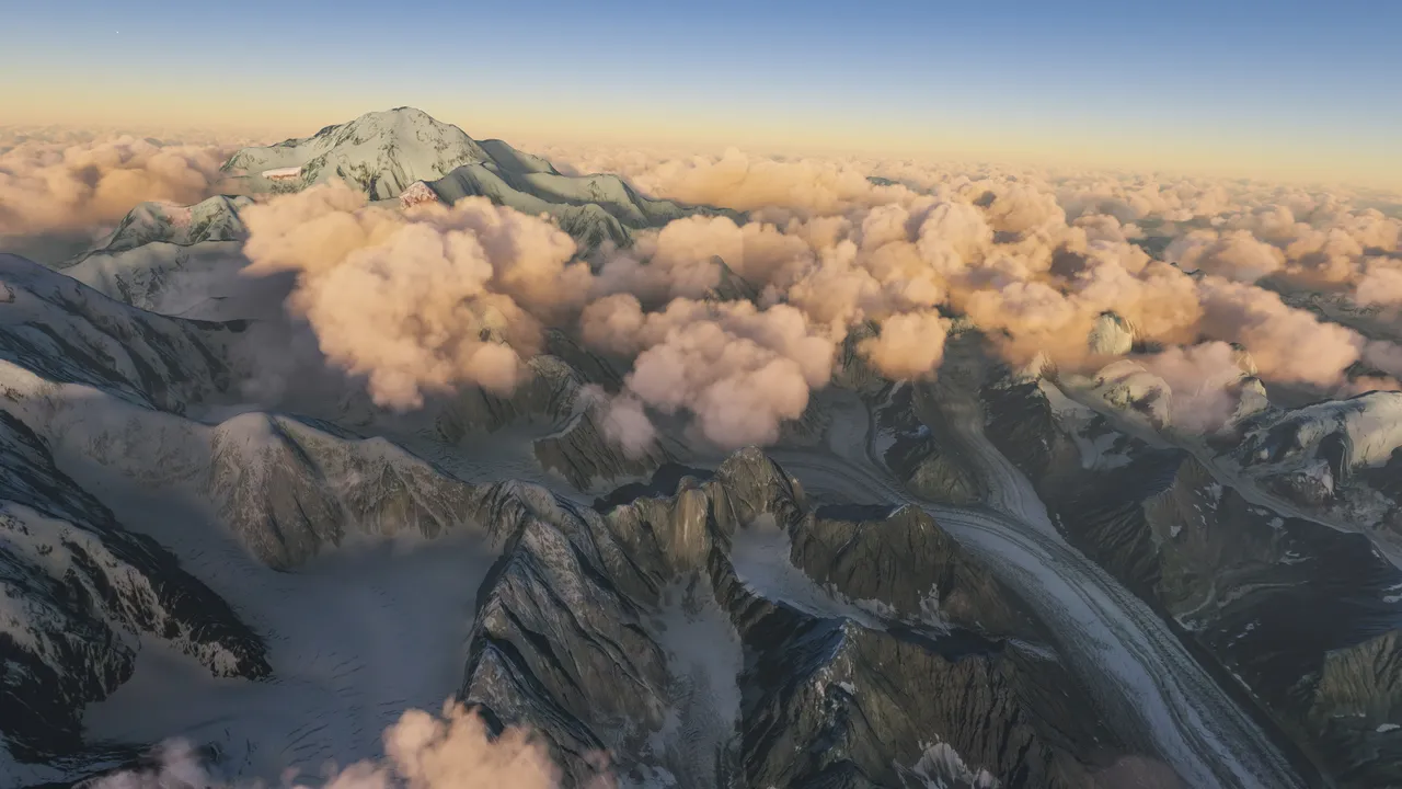
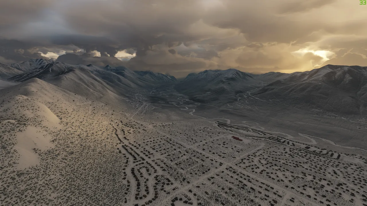
Denali National Park and Reserve in southern Alaska. This should be the highest peak in the country, the Denali mountain reaching up to 6500 meters.
After that, I touched down at Anchorage international Airport for a refuel. The trip from northern to southern Alaska took me 2.5hrs
This is the Anchorage area, it was getting really cloudy.
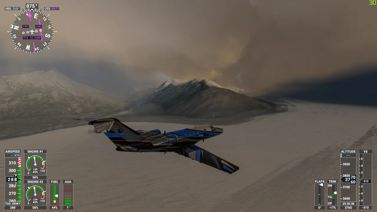
Over Mt. Goode glacier.
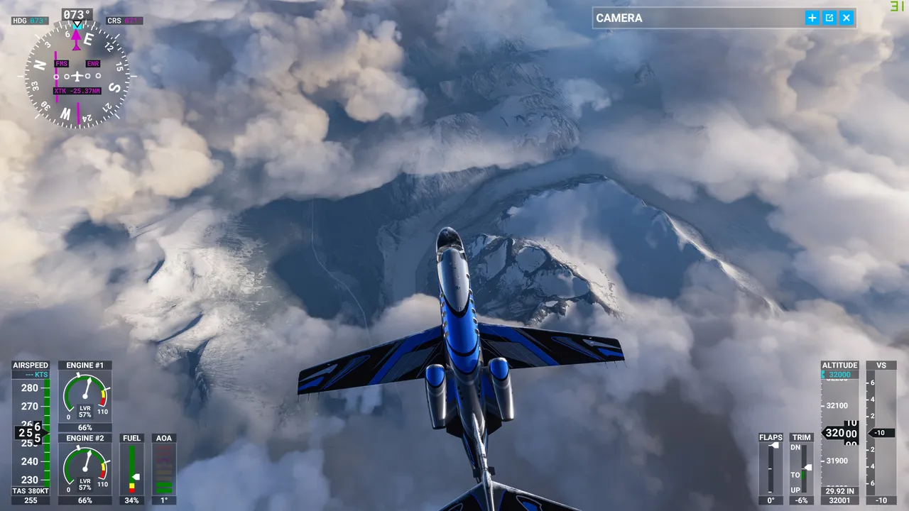
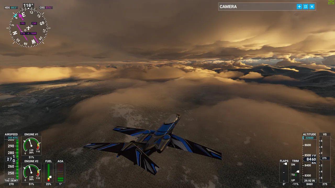
I had my course set to Canada. Unfortunately it god so cloudy that I was unable to see this remaining gorgeous landscape of Alaska. Sometimes the choice of using Live weather is not so good. I quickly gained altitude over the clouds, over 32000ft, otherwise, I would have smashed into a mountain due to non-existant visibility.
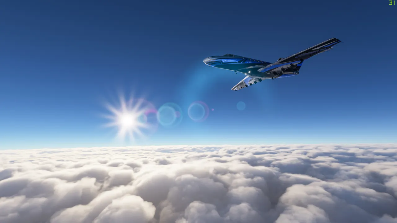
That was actually pretty boring to fly above the clouds for a long period of time. Only had an occasional short glimpse of the gorgeous landscape below me.
Soon enough I was in Canada and a little better cloud conditions to fly lower. In fact, I witnessed an absolutely insane sunset in the Yukon territory.
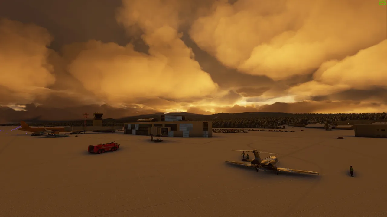
Shortly I touched down at Whitehorse airport and the trip from Anchorage took me 1.45hrs. The sunset on the ground level was still nice.
Already looking forward to the next flight, which most likely happens tonight.
And of course, I will be sharing my experience of the amazing places all over the world with you here.