I Have been spending much of my evening time for travels in Microsoft Flight Simulator and advancing with my tour where I visit all the 7 continents.
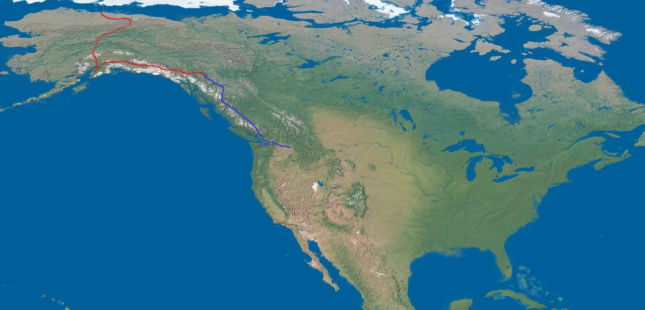
When you missed part 1 then see it here Alaska to Canada
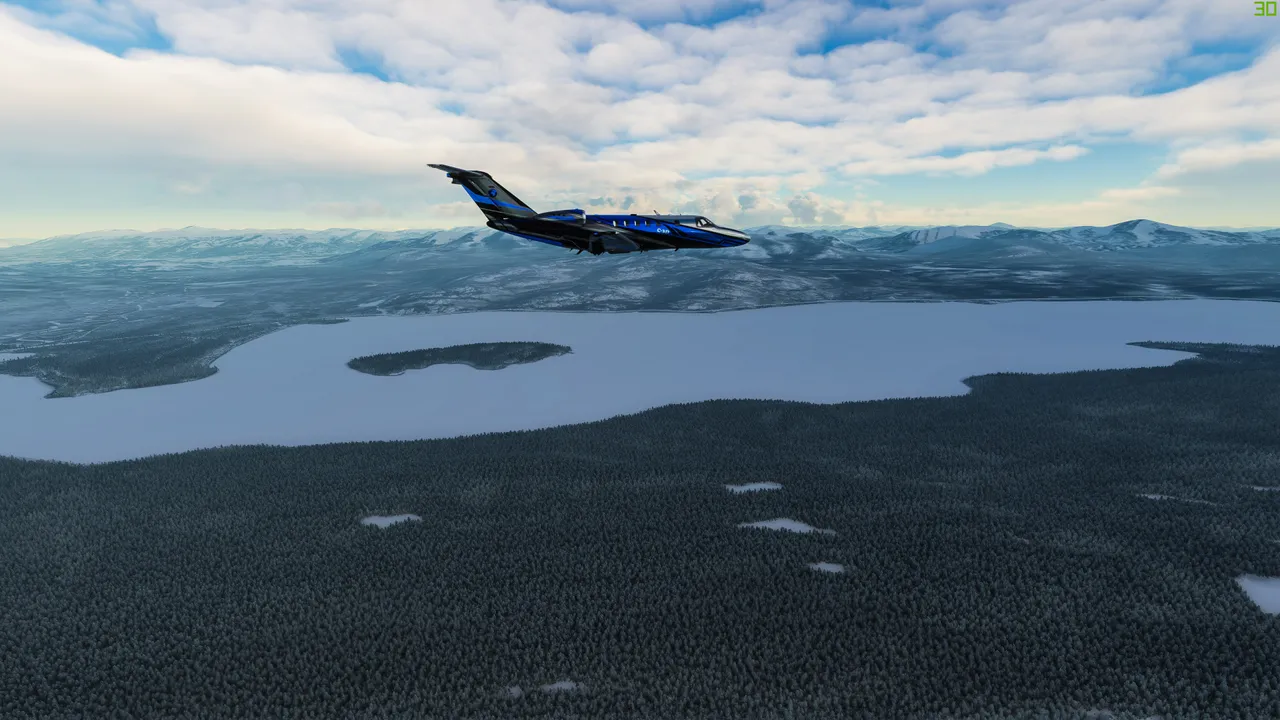
This time I started from a small Whitehorse airport in Canada, Yukon territory.
This time you see photos along the route marked with a blue line. The red line was part 1.
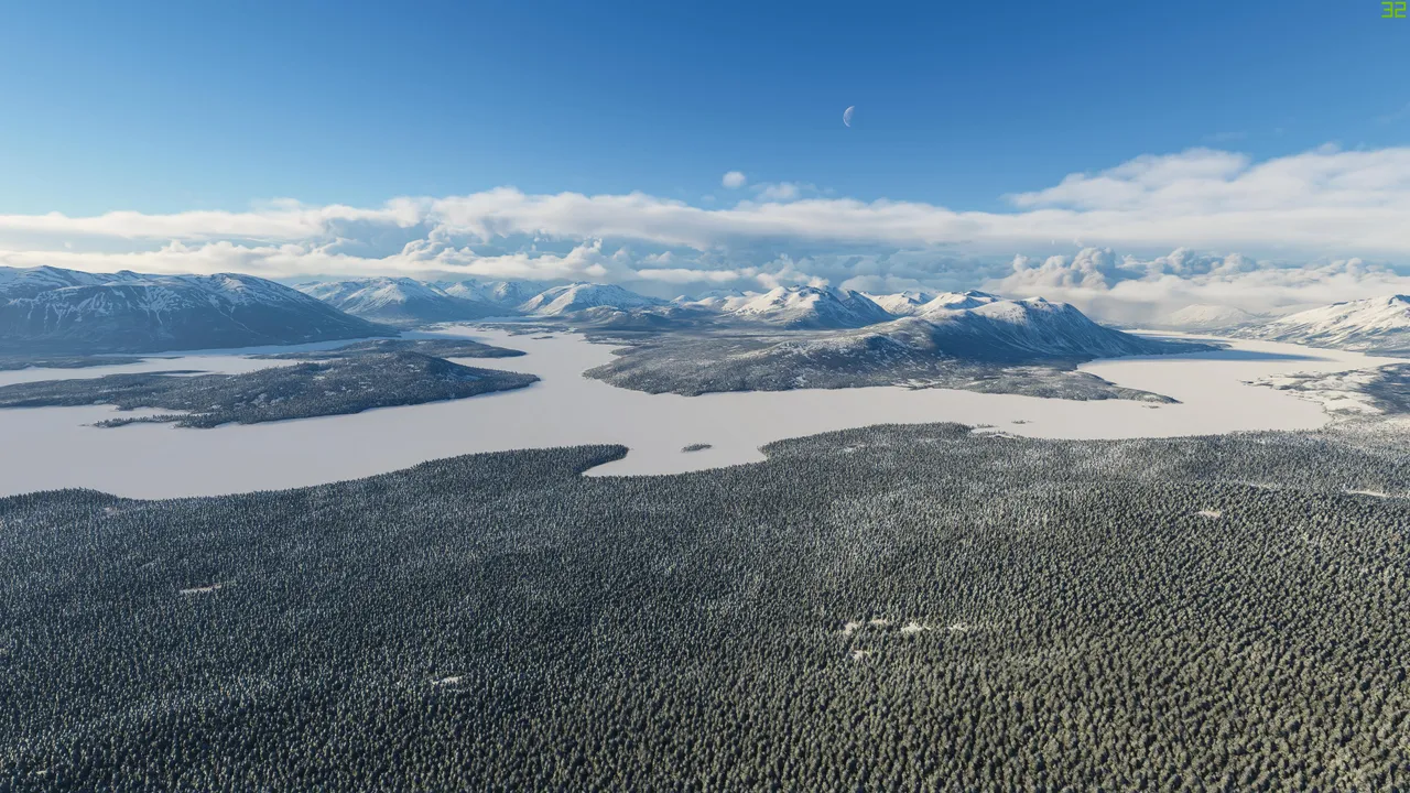
Pretty soon I left from Yukon and arrived in British Colombia where I flew the remainder of my flight through Canada.
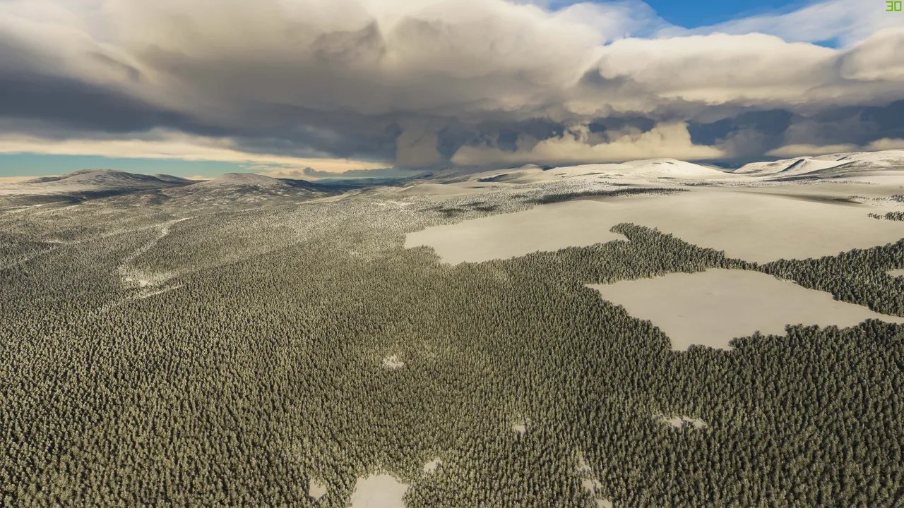
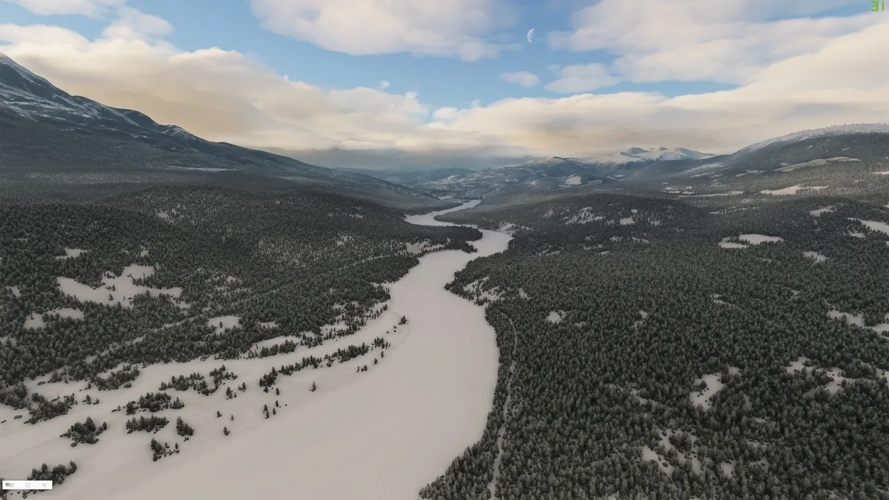
So much beautiful untouched nature and wilderness, in fact, I hardly saw any roads or civilization.
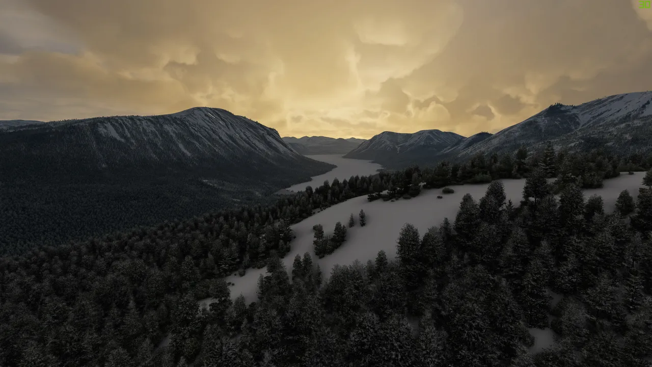
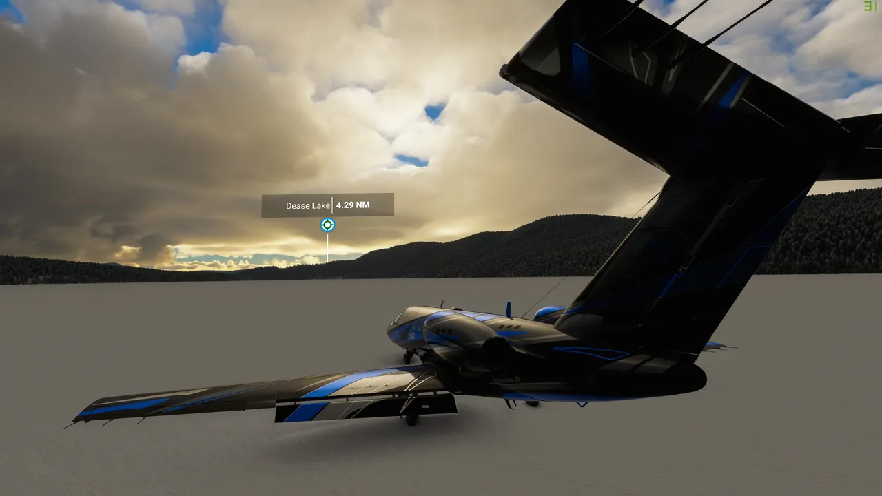
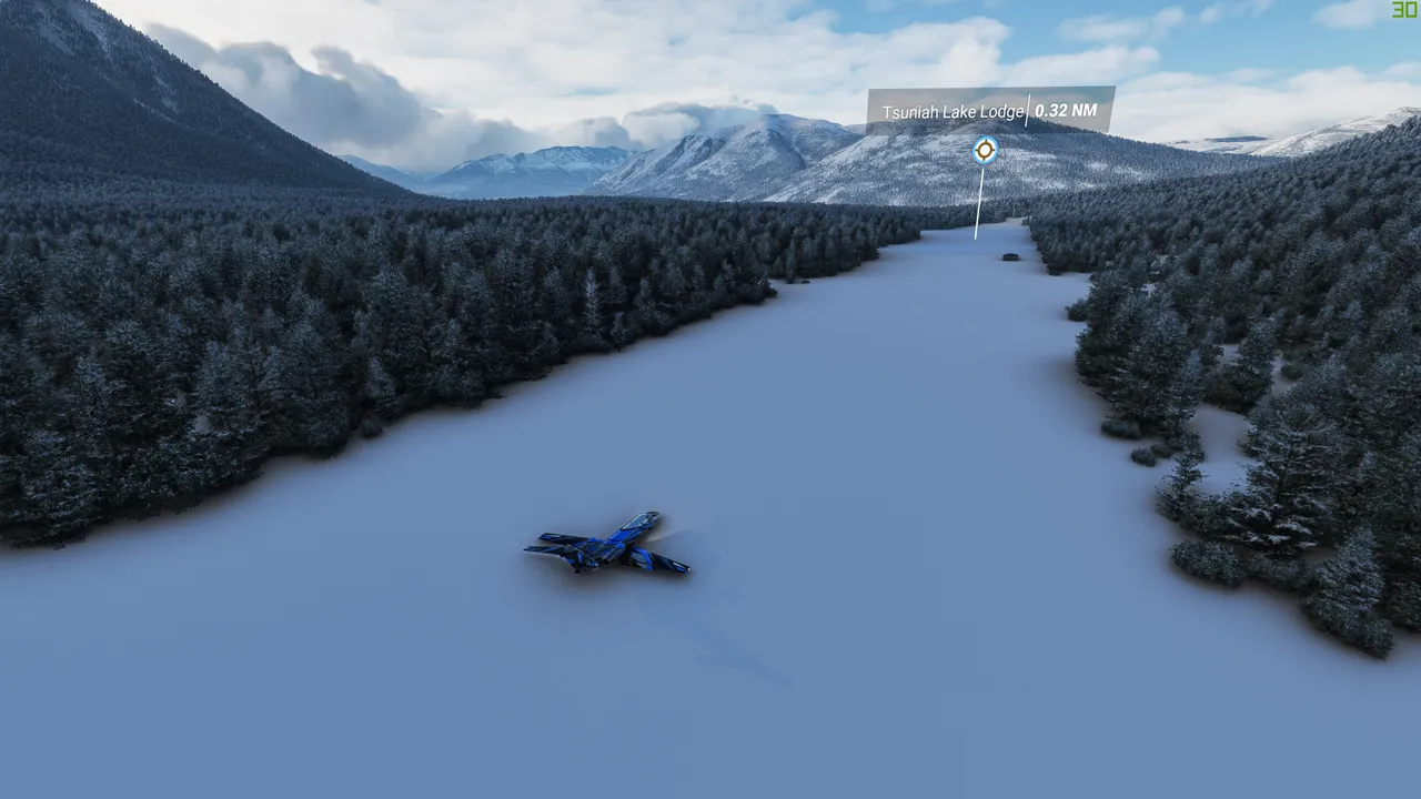
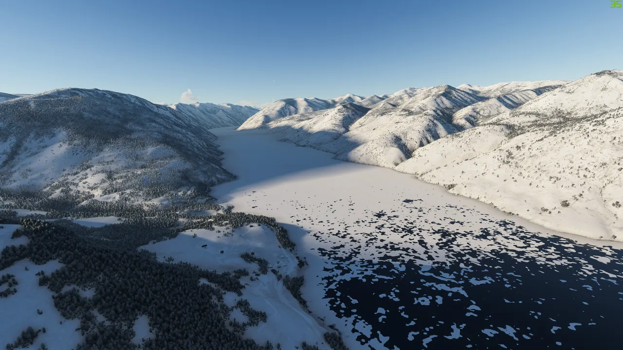
At some point for fun, I just touched down on the lake ice, as you can see on the market it's named Dease lake.
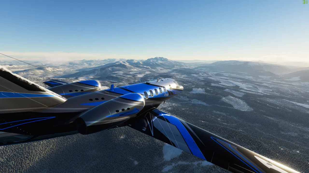
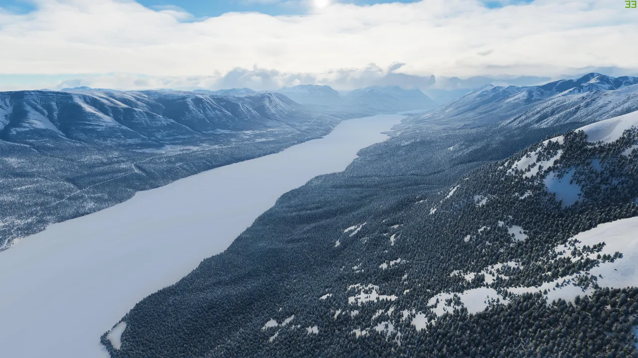
The weather was mostly clouded and I hadn't seen direct sunlight for quite a while. Here I did.
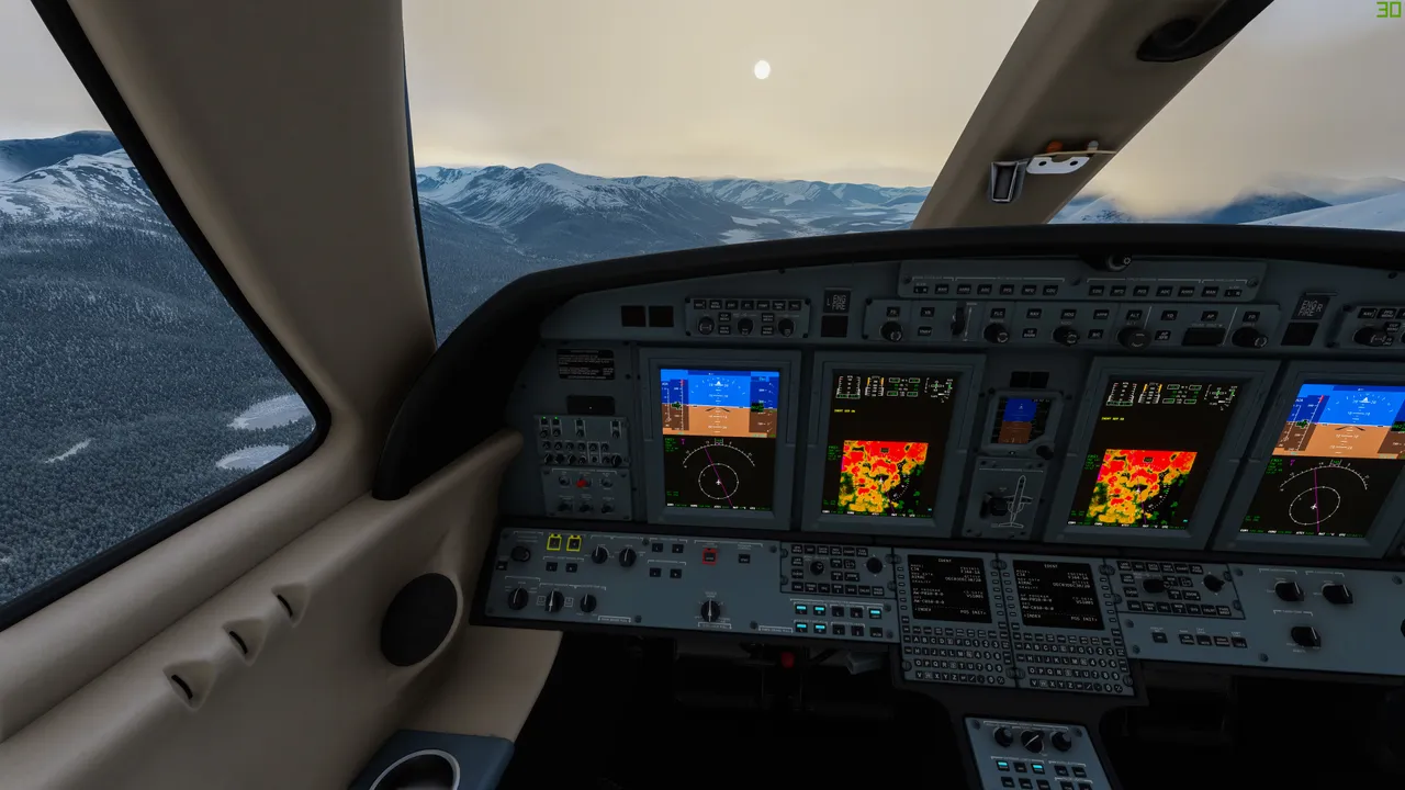
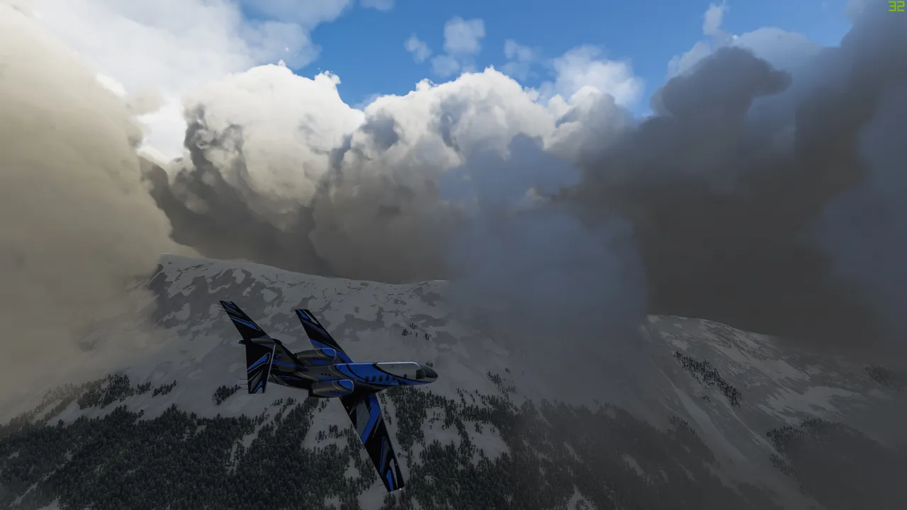
Soon the fun ended and suddenly I was inside a thick layer of clouds. I didn't want to fly above the cloud because it's boring. There was a mountain range and no pilot in his right mind wouldn't fly inside the clouds, especially in mountains.
This is how the fog was on the ground level.
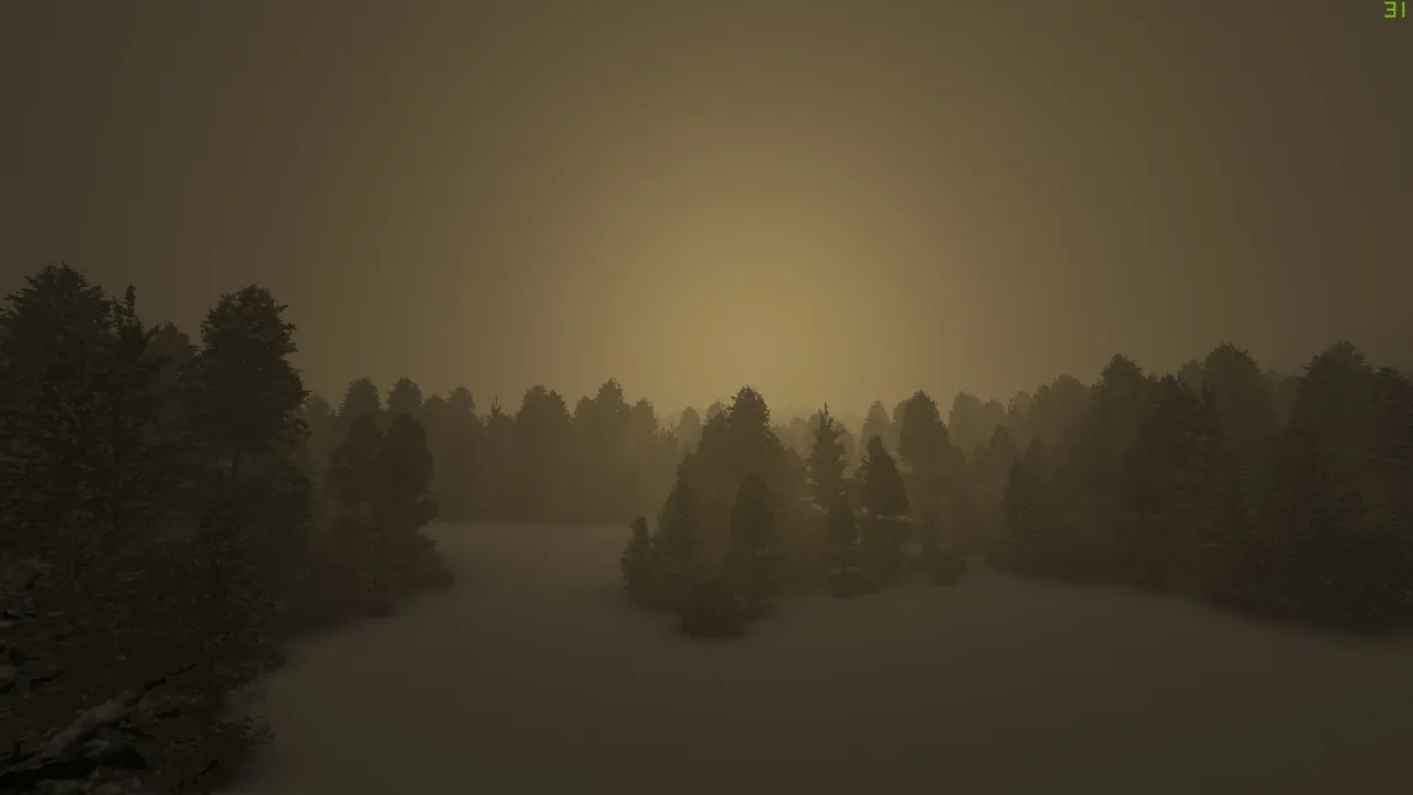
I didn't see shit and only used a topographic map to navigate and avoid crashing in mountains.
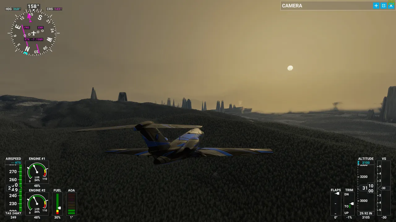
Here is a short break of no visibility and then there were some strange monoliths. Its a bug of the game but looked like an alien planet 😀.
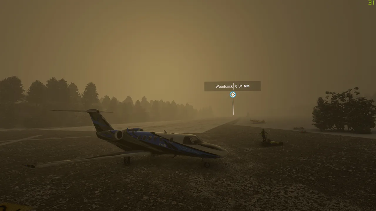
For the day I touched down in a small Woodcock airfield. Cool name 😅. It took me 2h to fly from Deadhorse Yukon to Woodcock, Brittish Colombia.
I actually crashed the plane while landing because I didn't see anything and there was a massive snowfall + short runway. Fortunately, it's a game and I can respawn.
On the next day, I flew from Woodcock to Vancouver, the capital of Canada. The flight took me along the West coast mountain range. I avoided the high mountains and thick clouds. Took my route sight next to the mountain range and still got to see some amazing views.
The weather overall was also nice.
Quick random stop.
And finally, there it was, the civilization! I did make a full stop there for a refuel. Flight from Woodcock to Vancouver took me 1 hour and 50 minutes
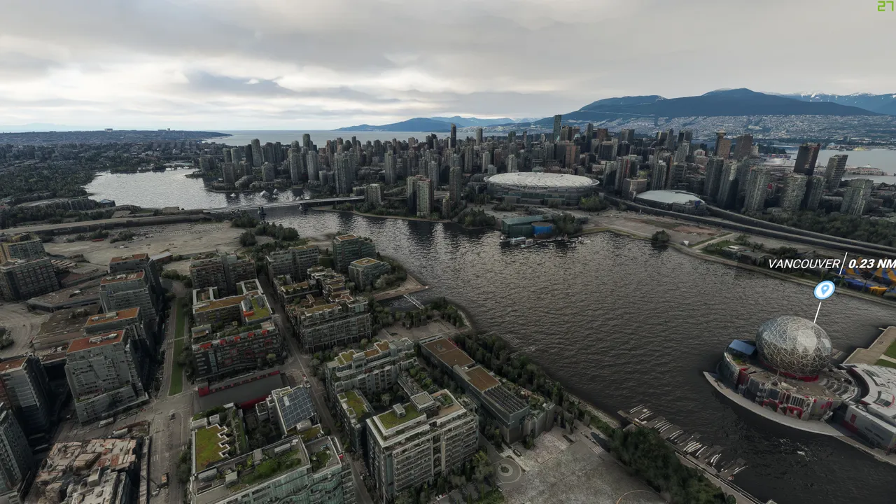
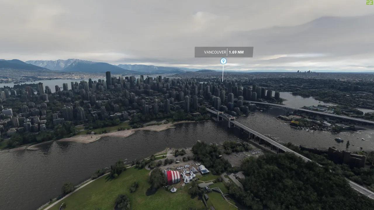
Here are a couple of shots of Vancouver.
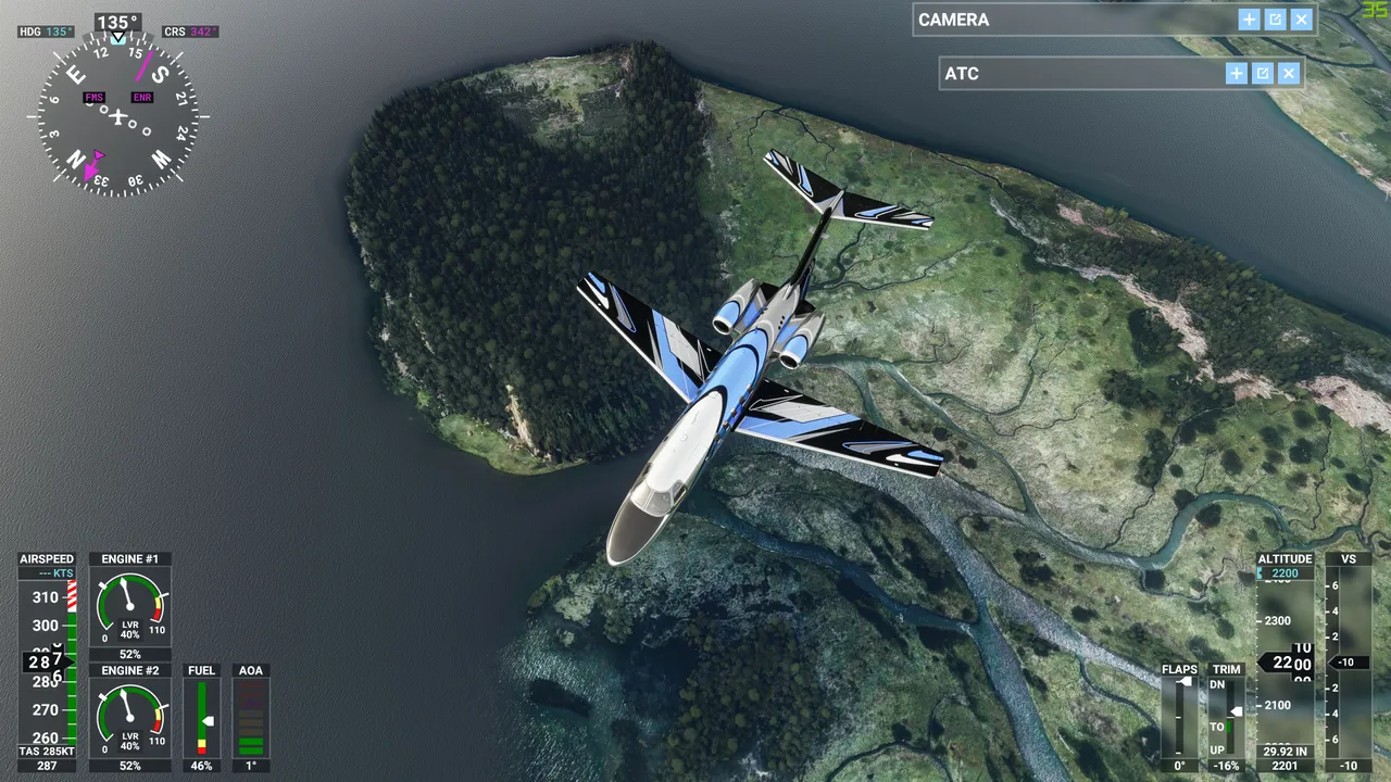
I started up the next day and my route took me straight Over the US border.
This is already in Washington state. There was no more snow.
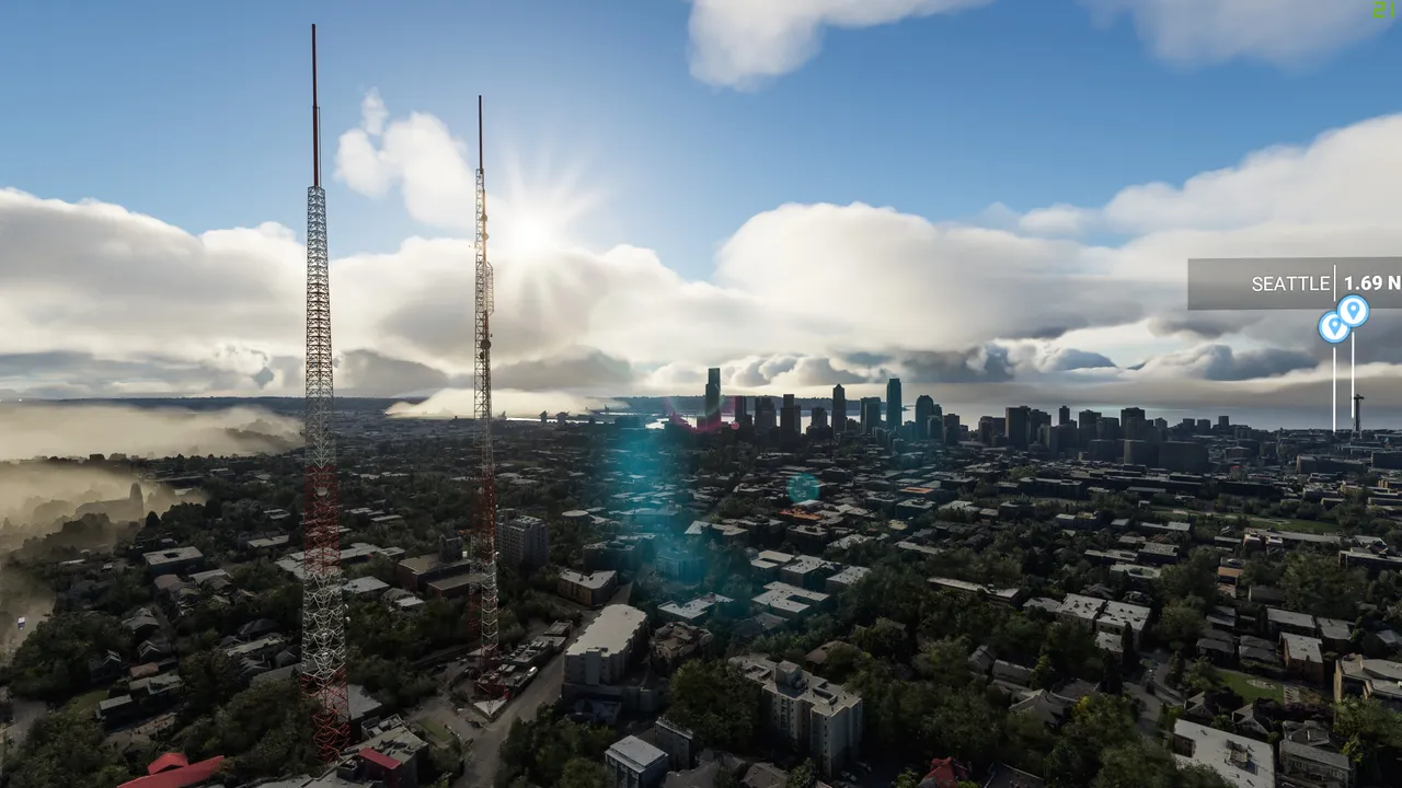
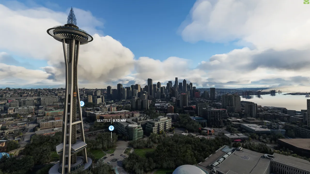
First I wanted to quickly check out Seattle.
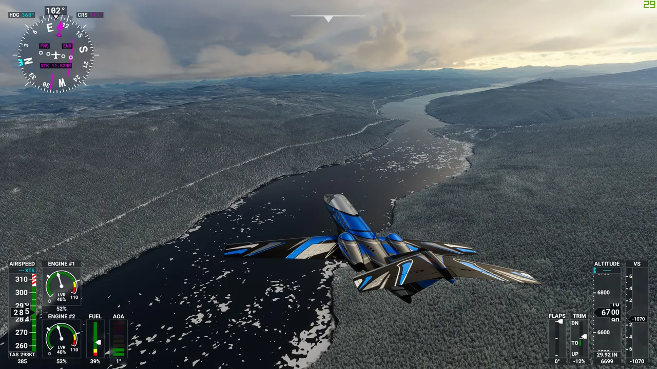
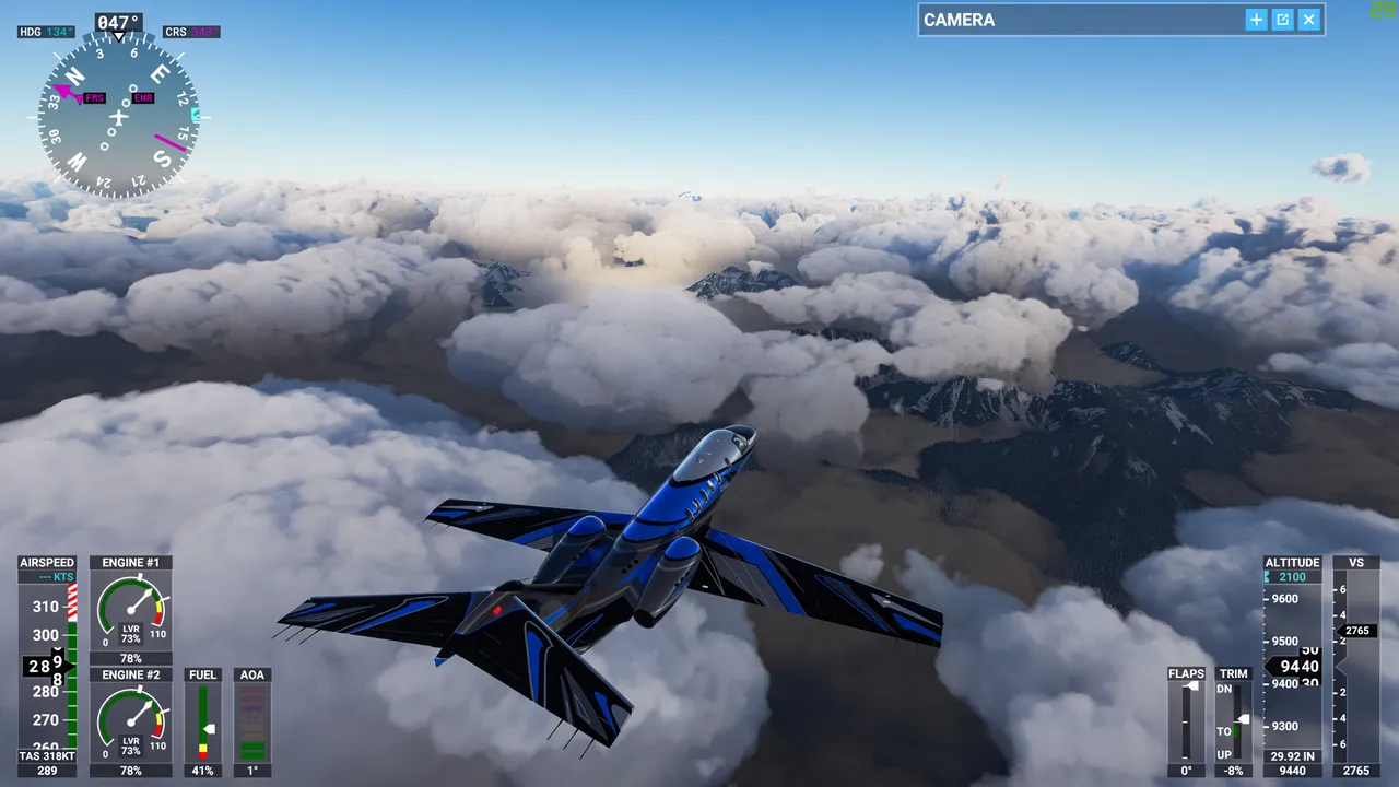
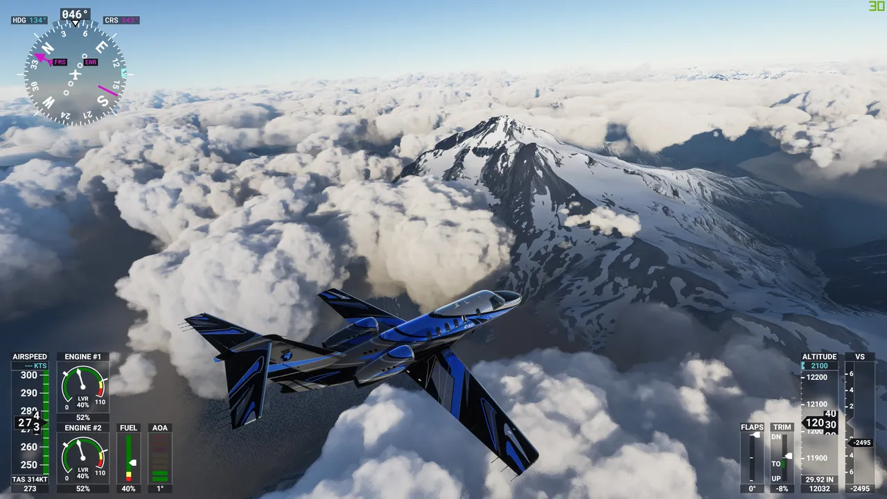
From there it was a straight flight over the mountain so the other side of Washington to a small city named Spokane.
In Okanogan Wenatchee national reserve I got some cloud action again, fortunately, I was able to see some mountain tops.
Let it be noted that I use live weather whenever I fly.
This is an insane view, just look at it. This was taken when standing on some mountain summit.
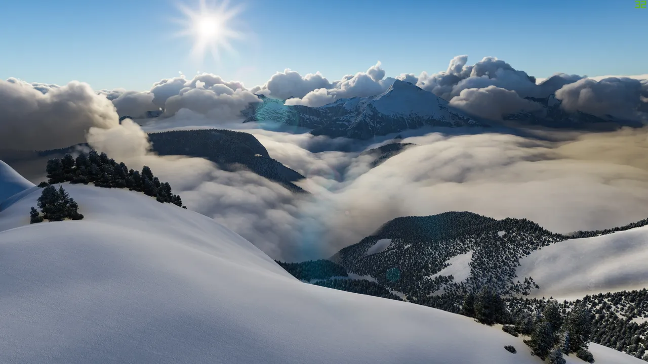
Glacier mountain summit. One of the highest peaks in Washington.
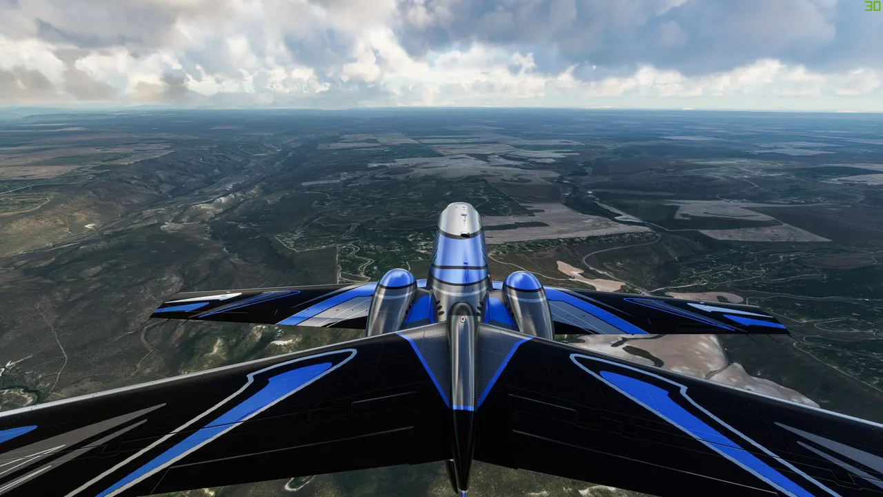
Finally, I left the mountain range. There was still pretty rugged terrain and they actually still manage farmlands there.
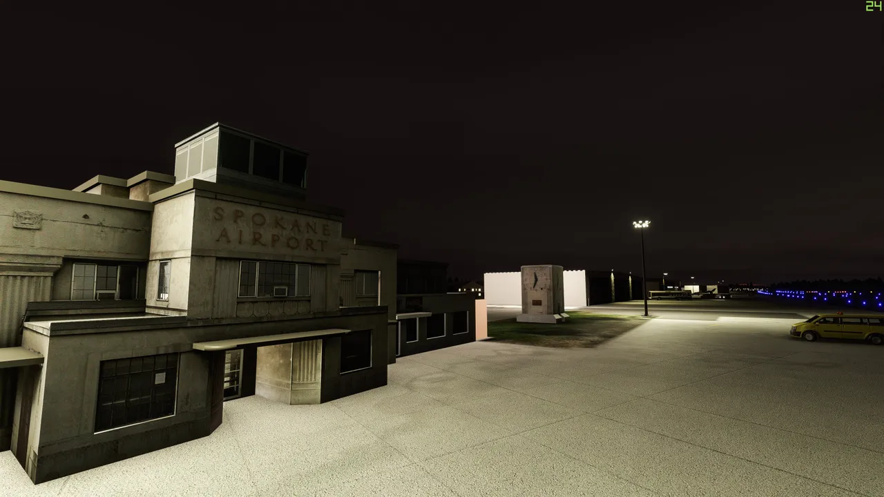
By the dark, I arrived in eastern Washington to Spokane. I used a small airport named Felts airport.
The flight from Vancouver to Felts Airport took me 1 hour and 30 minutes.
Now im going to fly through the USA, lets see how long it takes!