Who woulda thunk that the smallest desert in the world is in South Africa? And that it’s red, like a Mars-scape?
Where in South Africa is it?
We visited the delightful town of Port Edward in early May, and were introduced to one of the world’s better secrets – the Red Desert of Banners Rest. Fans of the 1978 television series could be forgiven for thinking this is where the Incredible Hulk’s human counterpart, David Banner, finally put an end to his peripatetic wanderings. The only thing hulking around this area are the plants and insect life – lovely tall trees, enormous hibiscus bushes and gorgeous big moths. As I mentioned in my introduction of the delicious peppadew, the produce here is like sunshine converted straight to food.
An idea of setting and scale
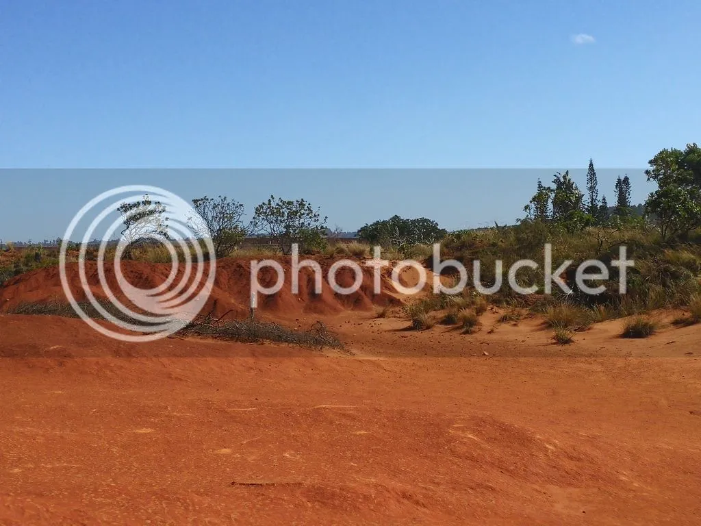
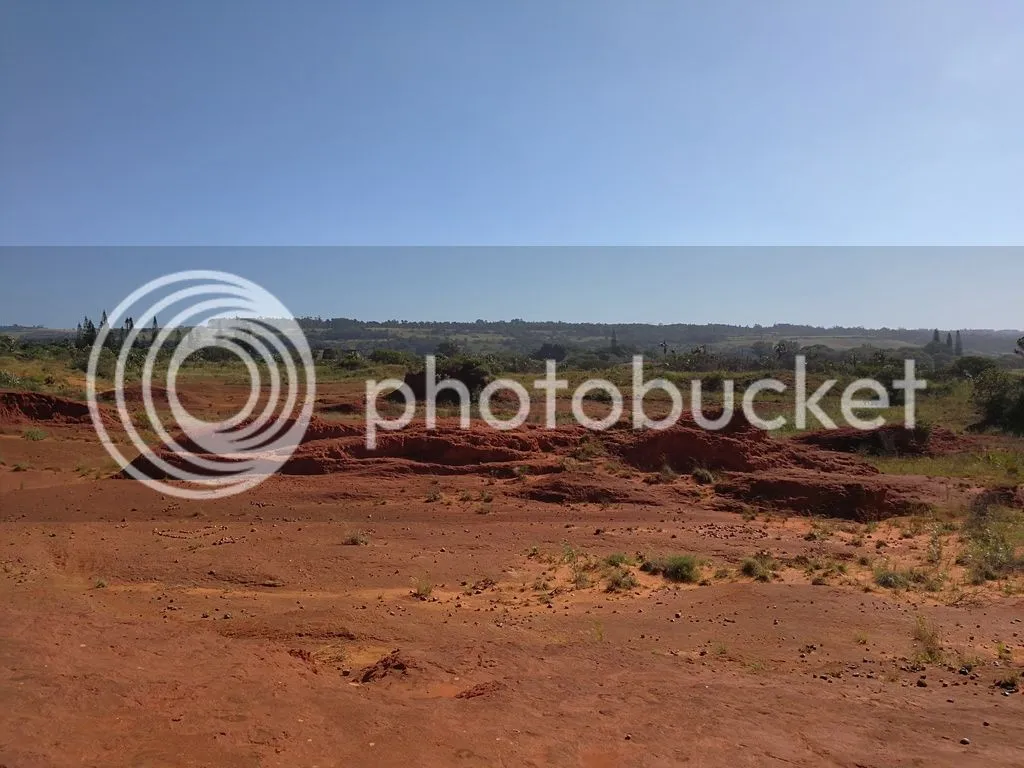
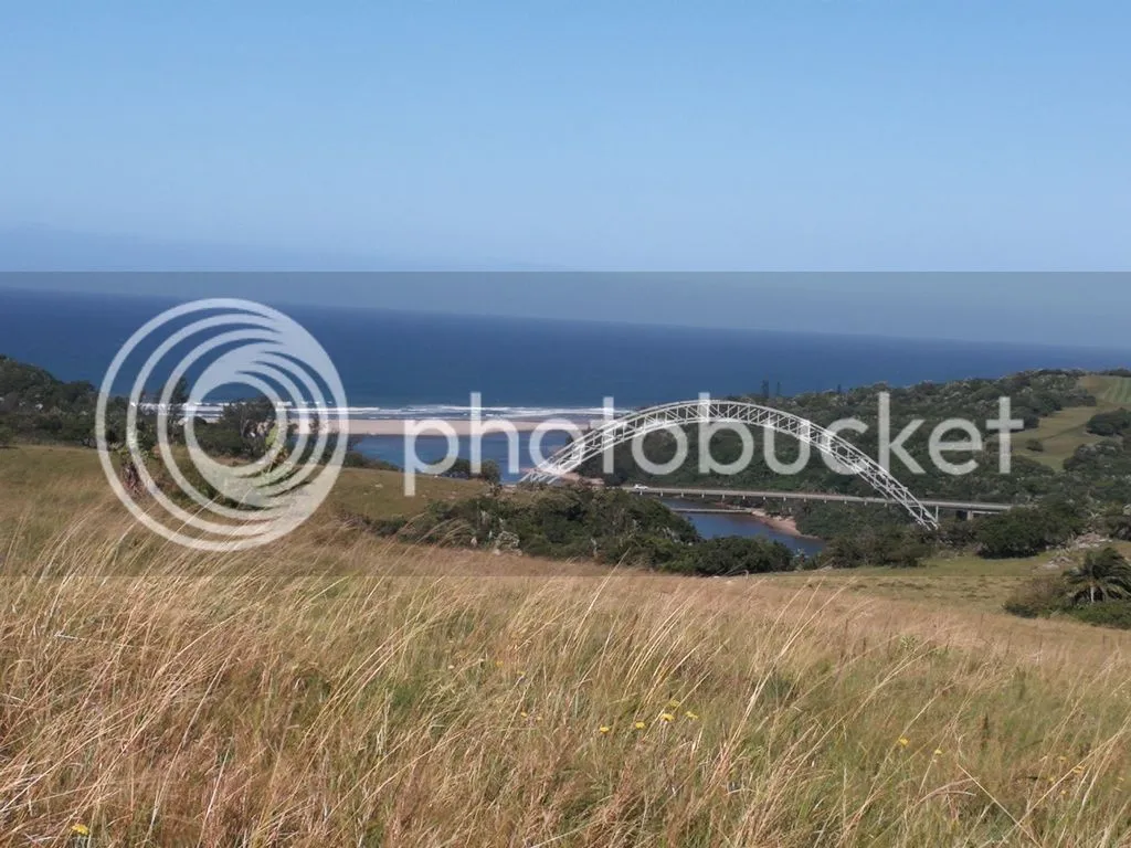
But back to the Red Desert – it’s really a thing, and so underplayed by South Africa as an attraction. First, to get an idea of scale, check out this website for spectacular aerial views of the area and a bit of information about the local wildlife and natural history. It’s set above the cliffs on the left bank of the Umtamvuna River, which separates the KwaZulu Natal and Eastern Cape provinces. The impressive coastal bridge you see in the photos below links the two provinces; mostly, to this visitor’s uneducated perception, it gives people from the South Coast a chance to visit the Wild Coast Sun, a hotel and leisure complex in the Eastern Cape, immediately south of the bridge. Apparently the bridge was the object of a wild sabotage plot by white extremists not long enough ago, but the bad guys were apparently caught, bombs didn’t explode, and I shall leave that story to the Steemhistorians among us to share.
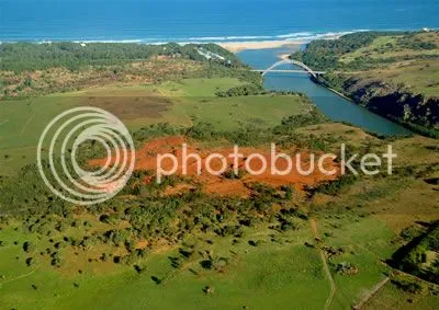
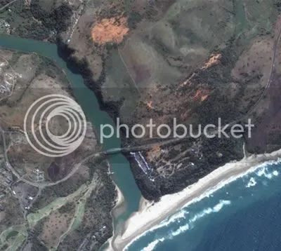
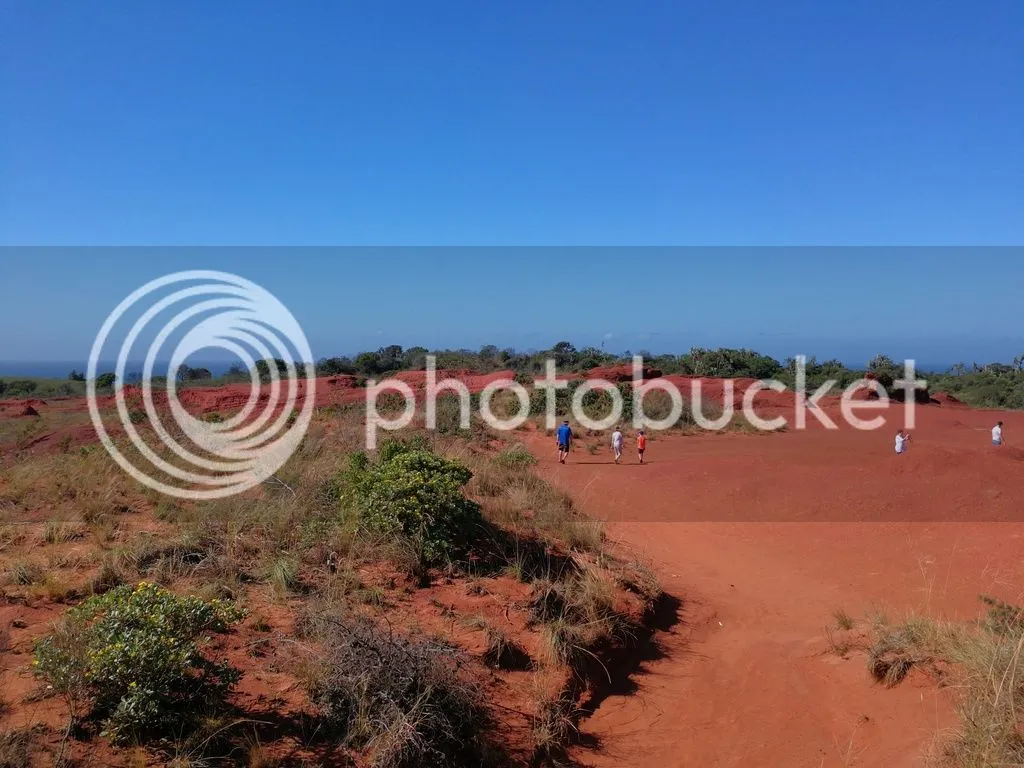
As you can see, it’s really tiny, about 200m across.
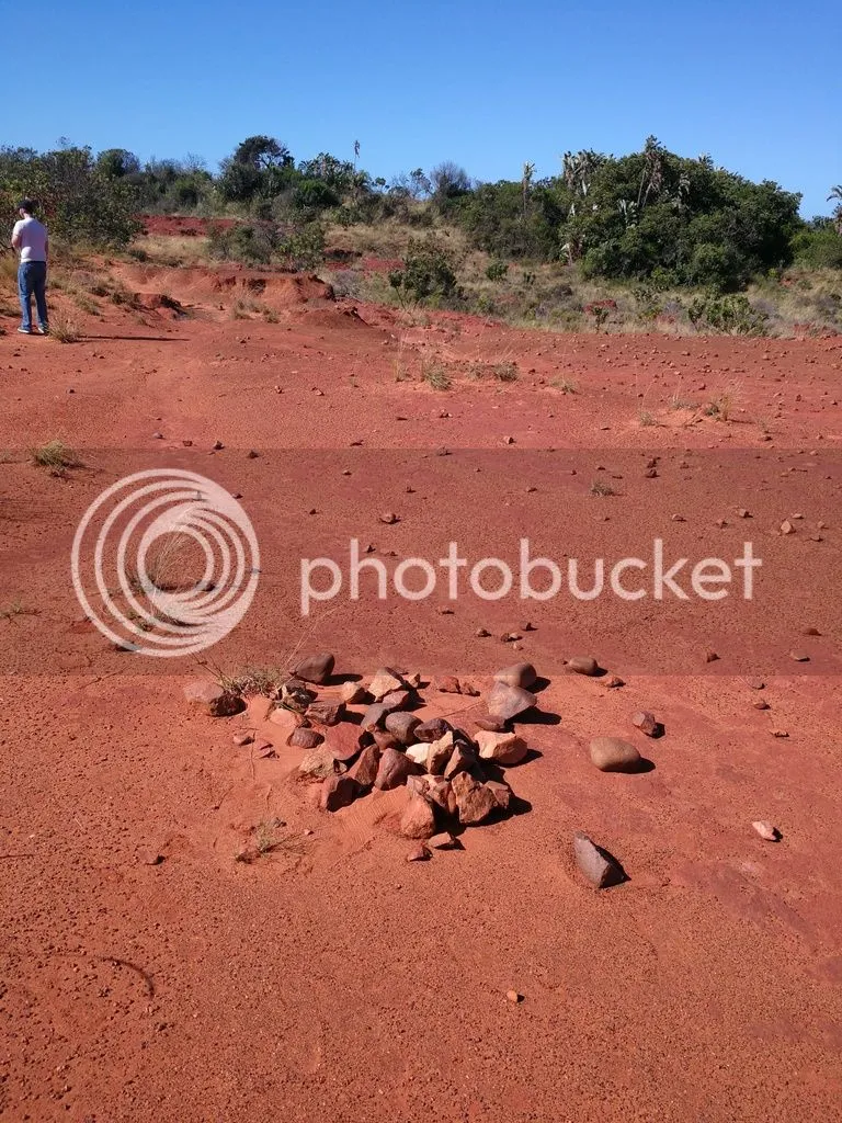
After a great deal of lobbying on the part of the local community, it was made into a nature reserve which means its rare flora and fauna (not that we saw any fauna – nary an insect, let alone anything furry, scaly, feathered or clawed – during our midday visit) are more protected than if it wasn’t a reserve.
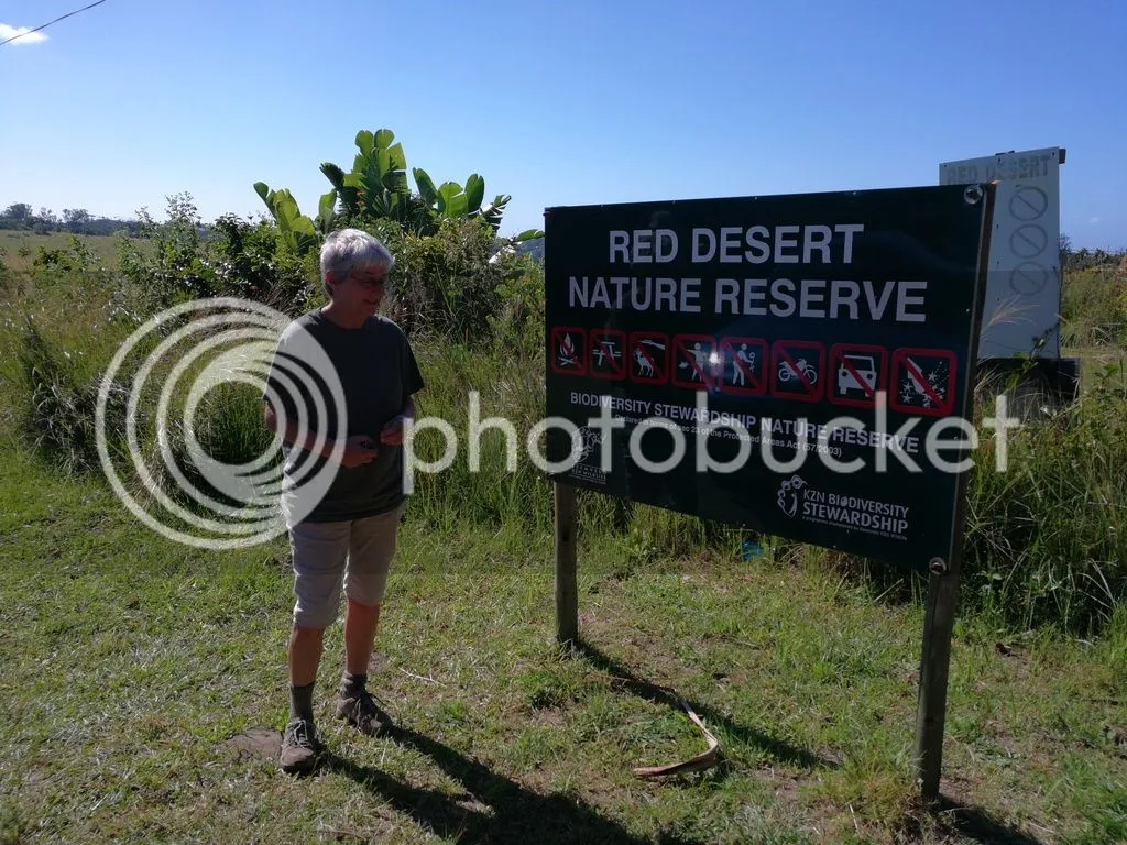
It really is a nature reserve.
How was it formed?
Apparently it’s a remnant of ancient coastal dunes in this mineral rich area. The best reference I could find on how it was formed was on a geocaching site (cool – people still do that?). The geocacher contacted Professor R Uken of the University of KwaZulu Natal’s Geology department, who provided the following rich explanation:
“It is a small remnant of Berea Red Sand that lies directly on a very flat surface of Msikaba Formation sandstone. This coastal plateau extends all along the coast, especially marked from Port Edward to Waterfall Bluff, and represents an erosion surface that dates back to before the breakup of Gondwana.
As the proto Indian Ocean opened, the first marine sediments of Cretaceous age were deposited on this surface. These sediments are preserved in a few places along the coast and contain marine fossils (Trafalgar Beach etc). They are generally soft and semi-consolidated because they were never deeply buried. After Gondwana breakup the coast experienced renewed uplift and erosion. The cretaceous sediments were easily eroded away exposing the old pre-Cretaceous Msikaba surface again. It was on this surface that dunes fields were generated probably as far back as the Miocene with a basal boulder bed representing beach deposits overlain by dune sand. Sea level has gone up and down with the ice ages and dunes are also found submerged on the continental shelf and were formed when sea levels were low during glaciations (during this time the northern hemisphere was covered in an ice sheet lowering sea level- only the Drakensberg may have a small ice sheet on top of it).
The dunes mainly consisted - like today, of quartz sand but also shell fragments and heavy minerals such as ilmenite and magnetite. These are Fe-Ti oxide minerals. These minerals were weathered in the dunes by oxidising groundwater releasing iron in the form of iron hydroxide. This stained the sand the rusty Berea Red colour. Shell fragments released calcium carbonated [sic] in places cementing the dunes to form a rock called aeolianite. The coastal dunes have been greatly reduced in size by weathering and erosion and the red desert is one such remnant.”
Enough with the helicopter view – what’s it like in there?
You got an idea from the entrance and the aerial photos that it’s surrounded by grasses and low trees. What you can’t see from up there are the beautiful wildflowers:
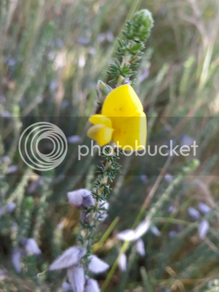
Geez, it was windy that day and I couldn’t persuade this flower to stay still long enough to take a decent picture of it. I suspect it might be some kind of lady-slipper – flower experts out there, note the stem and leaves as well as the single flower.
Here’s another beauty:
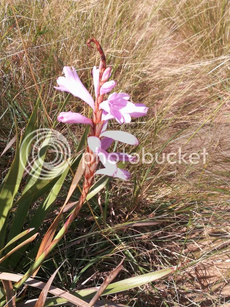
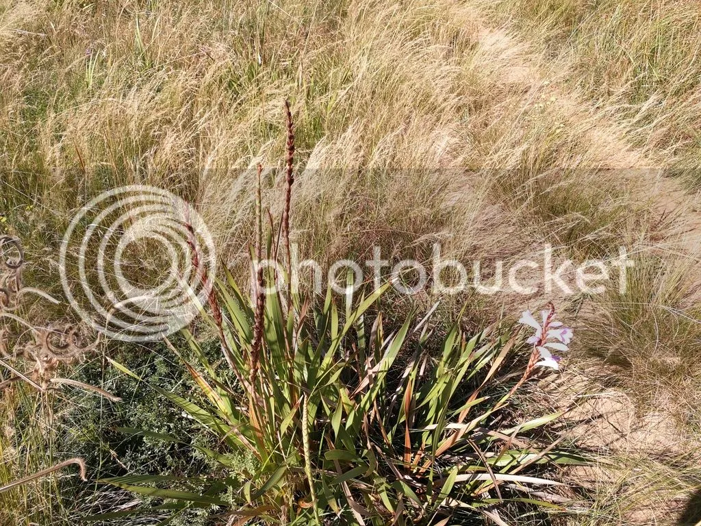
I think it’s some kind of lily. The shot below puts it into context – and those tracks beside the plant are the footpath we took to get into the desert, trying as much as possible not to disturb the area off the track.
Again, will appreciate some feedback from those more knowledgeable in things floral.
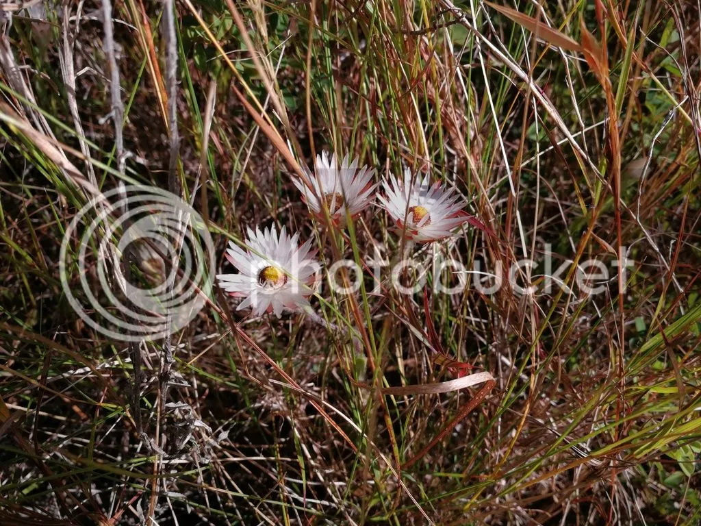
These lovely little daisies were peeking out through the grasses around the desert; what you can’t see because my awesome Huawei Mate 9 couldn’t capture it is that their petals are shiny.
Entering the Red Desert
How about this regal protea, acting as a sentinel at the entrance to the desert?
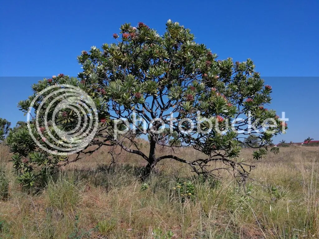
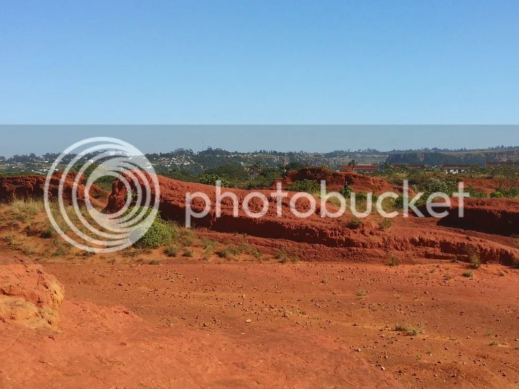
And once you’ve passed the protea, you enter the desert. Within two paces, your surroundings have changed completely. This is a view looking back towards the path entering the desert, the path being just to the right of the photo. In this photo you can clearly see the transition between grassland and sandy soil (the blonder colour) to harder red sandstone (as you look to the left). And look at the foreground – nothing’s growing there.
Hmmmm, this is odd…perhaps a bit of human work here?
As we walk farther in, we start to see impressive rock formations, the result of erosion over millions of years.
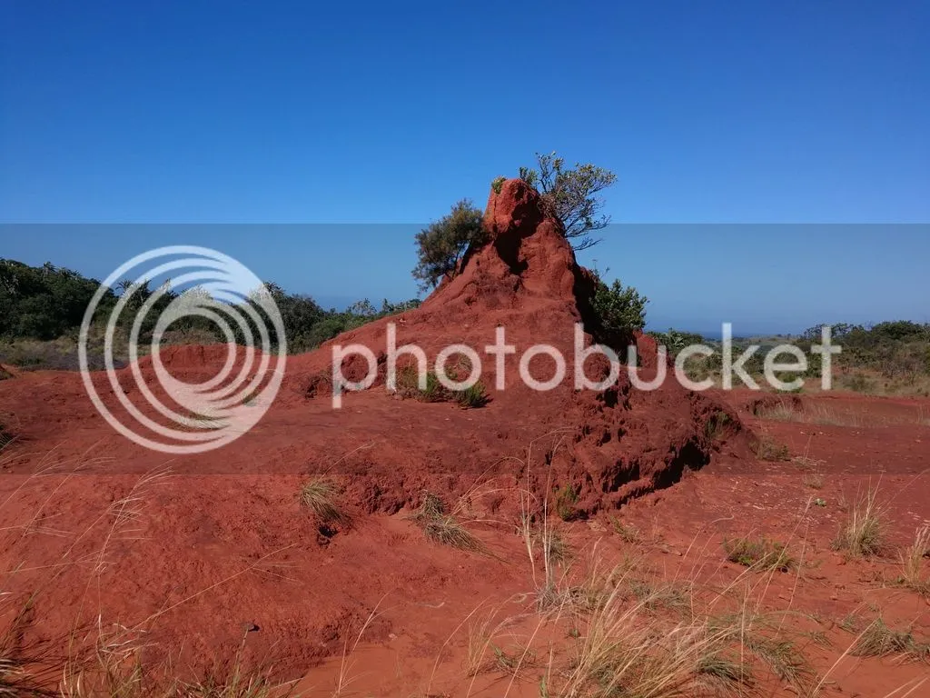
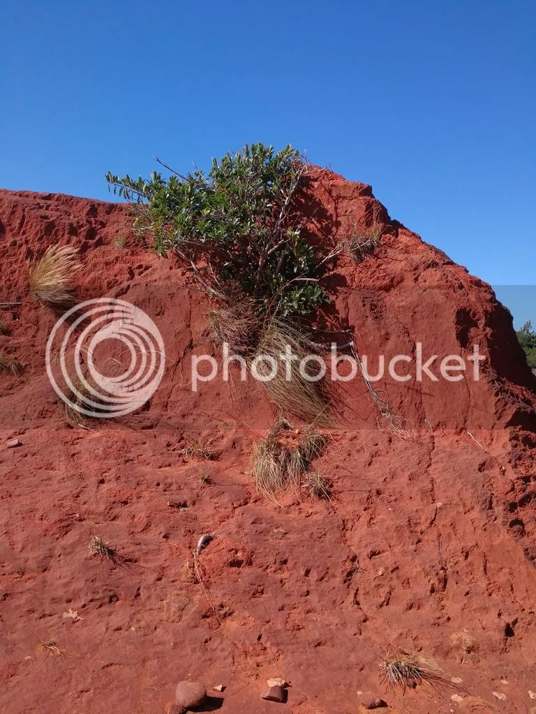
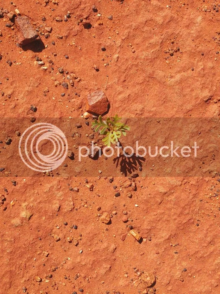
A few hardy plants have managed to grab a roothold and will gradually contribute to the further erosion of this interesting rock formation. You can also see some grasses are taking hold in the foreground of the photo above, gradually breaking down the rock so that other plants with less robust root systems can start to grow there as well. The photo below shows how larger plant species are beginning to feel at home on the rocks.
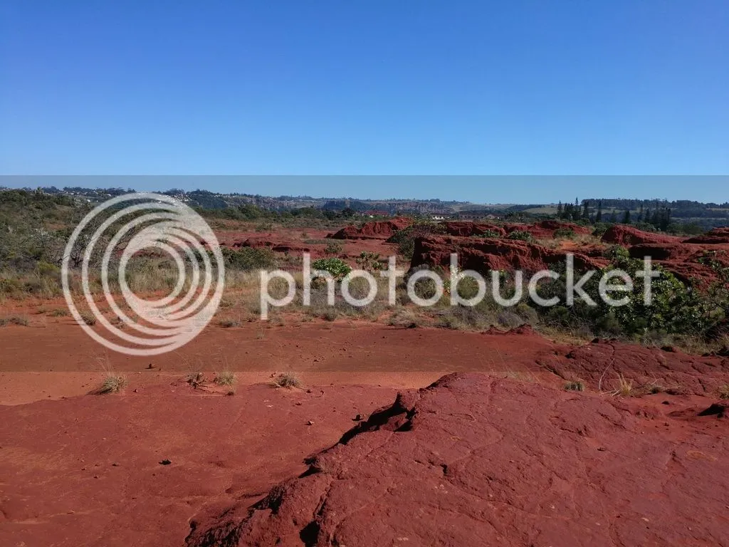
Here’s a perspective looking from the top of one of the rock formations back towards the reserve entrance:
And a couple of different perspectives on the rock formations:
Now for a couple of lizard’s-eye view shots of the area:
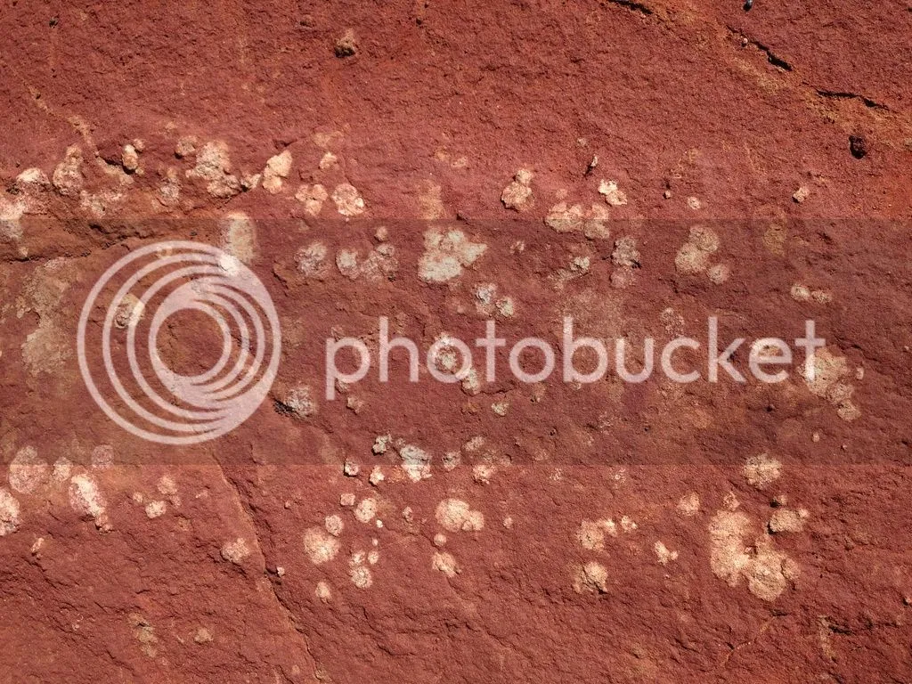
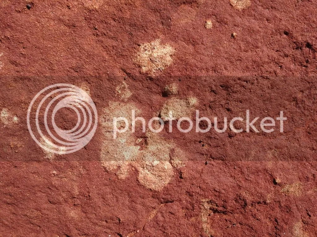
I thought this was lichen at the time, but now I’m not sure. Maybe some kind of calciferous deposits within the rocks, “bubbling” out? Here’s a closer look; perhaps some Steemian geologists, amateur and/or professional, could have a say.
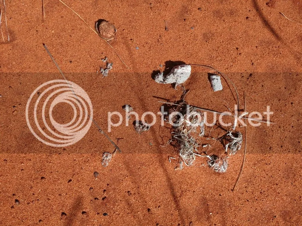
And because I’m me, I can’t resist taking a shot of this and imagining it’s hyena scat, but it’s probably just bleached dog poop. But a girl can always hope.
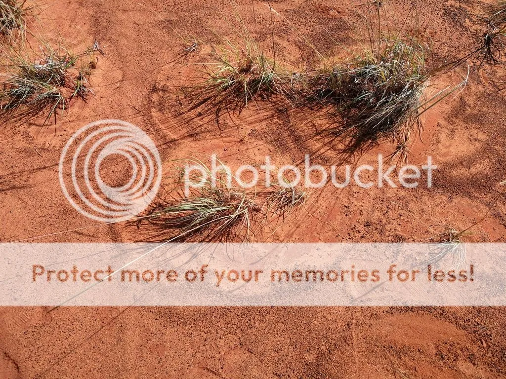
And I love the patterns the wind has caused these grasses to make in the sand.
And looking towards the Indian Ocean on the eastern edge of the desert, you again get the sense of how hard the edges of this formation are – rock, then vegetation, with nearly no transition area.
Break on through to the other side
A brief walk through a narrow path with grassy, steep sideslopes leading up to bushes and low trees, and then we’re back in grassland, heading to the Umtamvuna Gorge. Then we see this breathtaking vista.
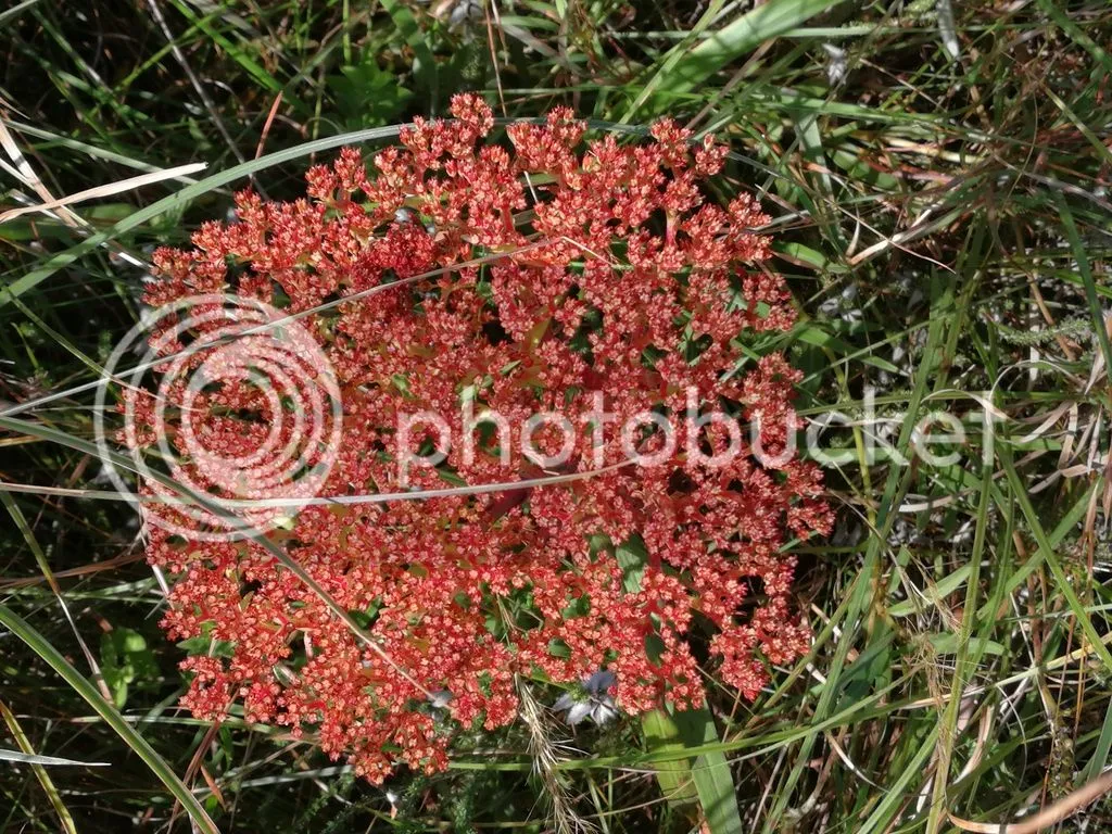
And a treat for me on the walk back – what manner of flower is this? Be it red broccoli?
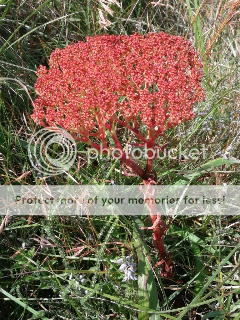
Here’s what it looks like broccoli-head on:
Back to life, back to reality
We lingered within the desert and scrambled up and down rock formations for a while, then just as suddenly as we’d entered the desert, we were out of it.
Here are a couple of additional sites for some lovely photos of the area and a bit more backstory, and this is a nice website if you want to learn more about what to do in the area. Bonus: it has a nifty 360° view of the Red Desert.
I hope you enjoyed this excursion into the world’s smallest desert (or so they all say – nobody seems to have any references to back that up) and it tantalises you to visit that little piece of heaven down on the South Coast of South Africa.
Cool South African Steemit logo credit: @alainite