Hello steemians and travellers!
I think I'm ready to post this. I have been procrastinating lately and I don't know why. I have been talking about my first major climb since last month and it's time to put everything to rest by posting the first part of this series. I haven't figured out yet how many parts this series will be, but I hope I can cover everything.
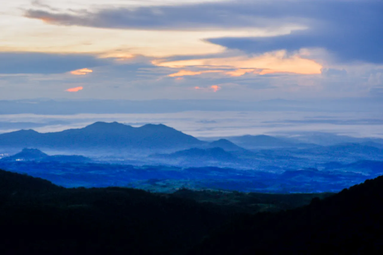
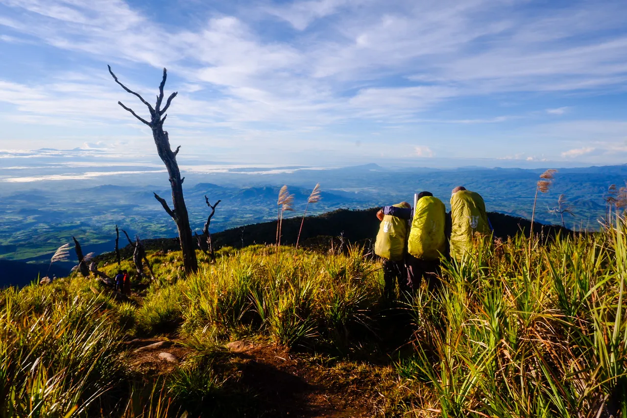
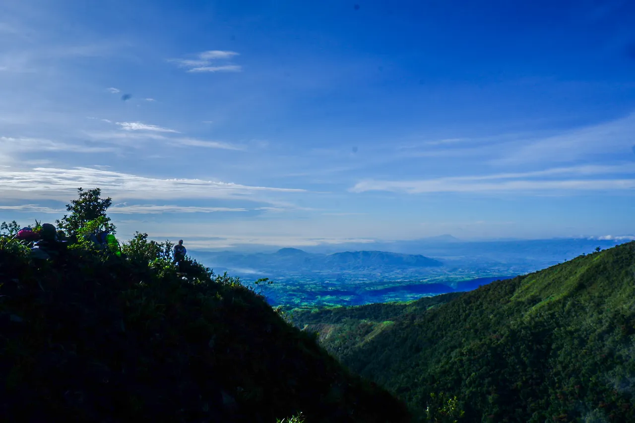
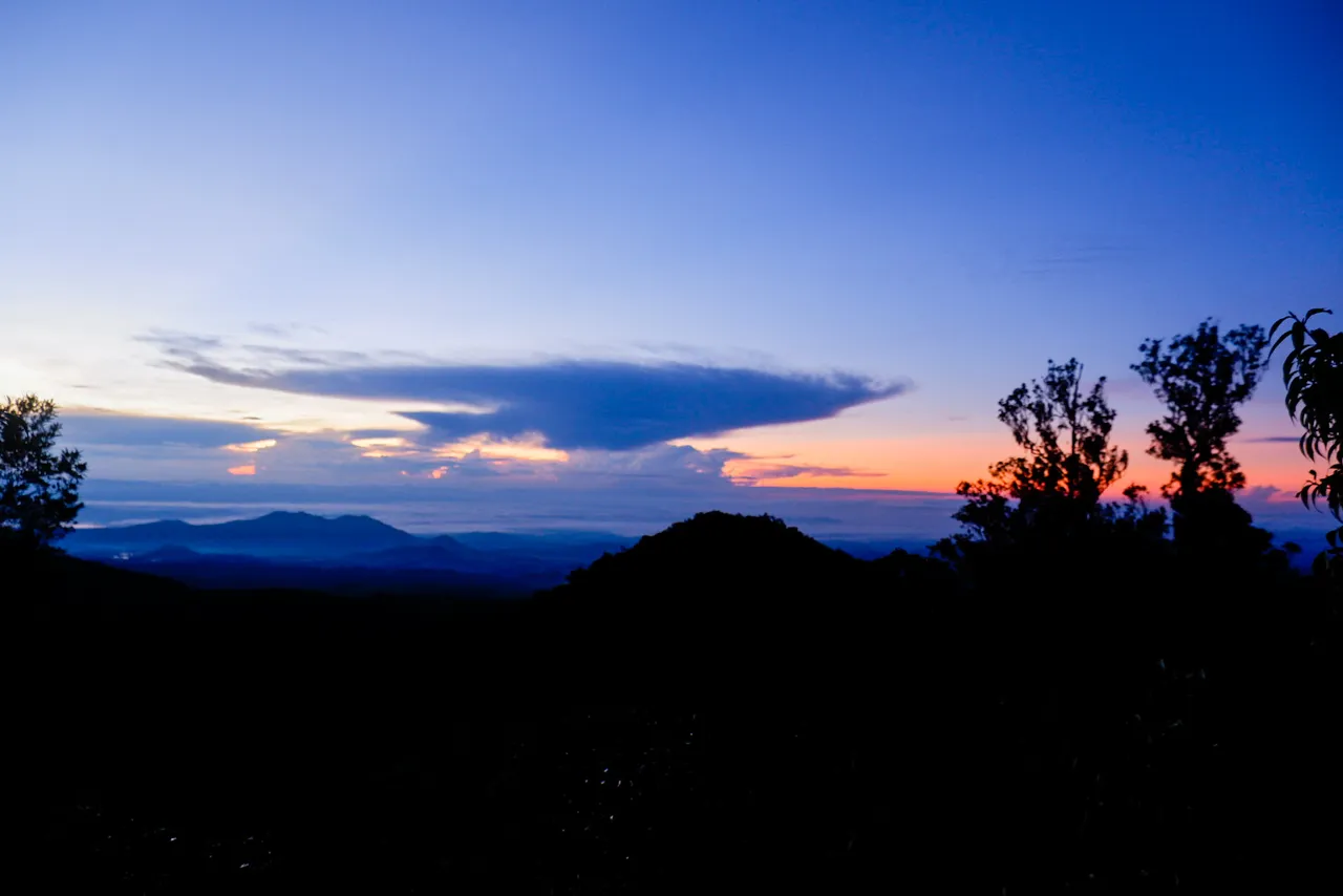
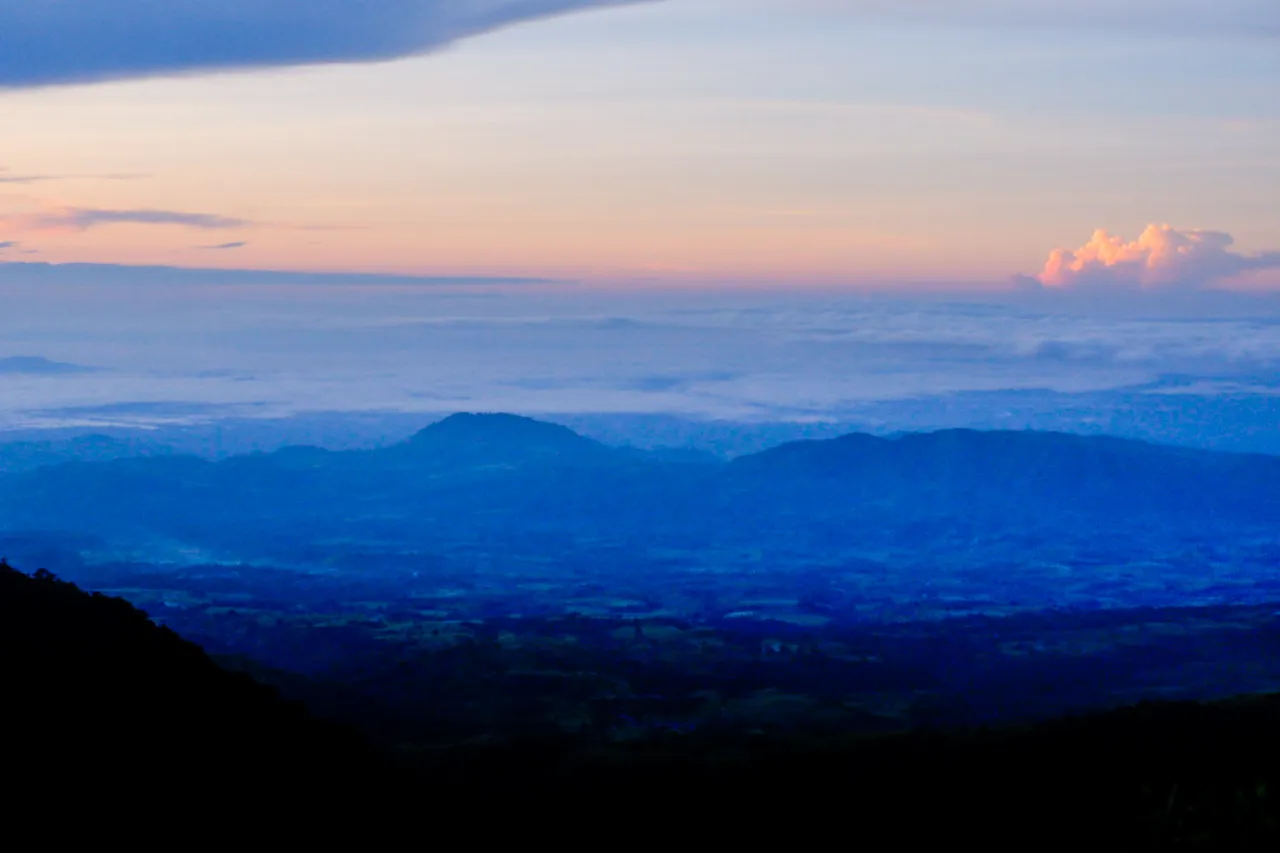
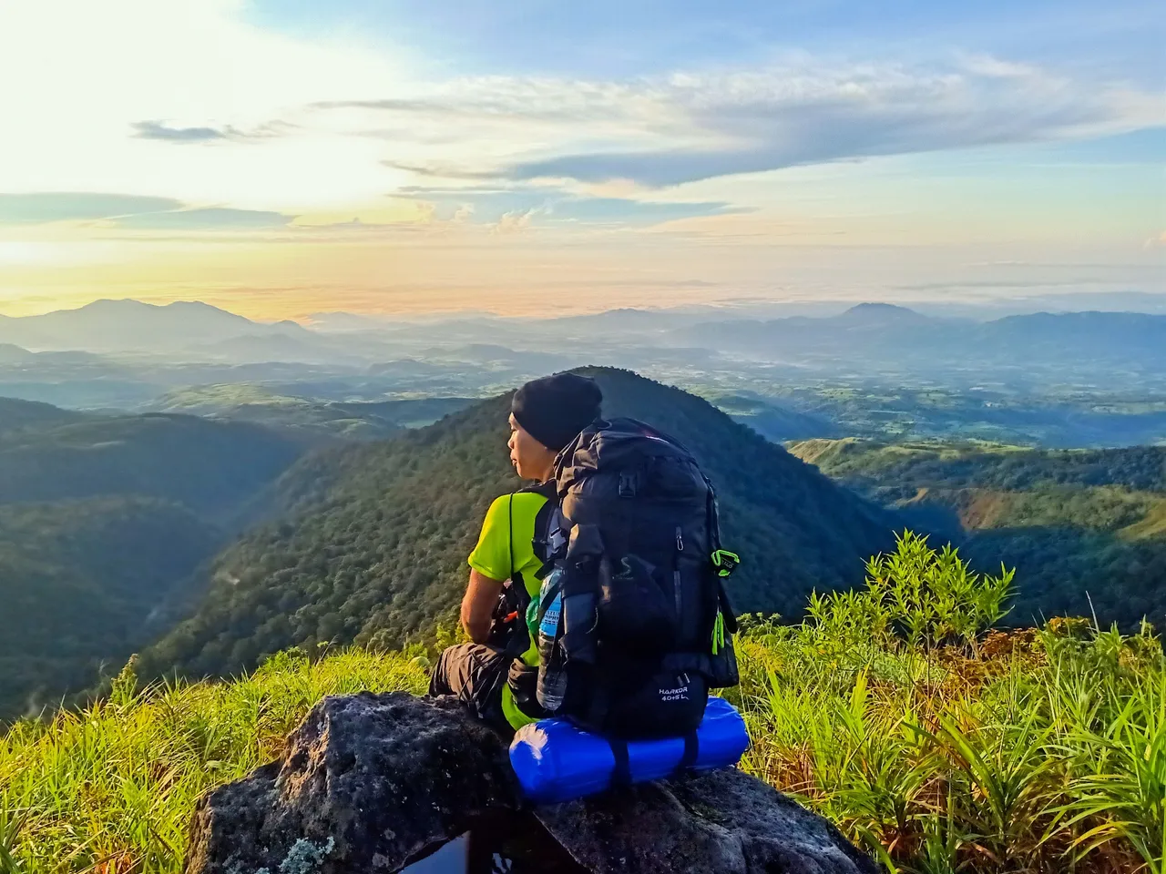
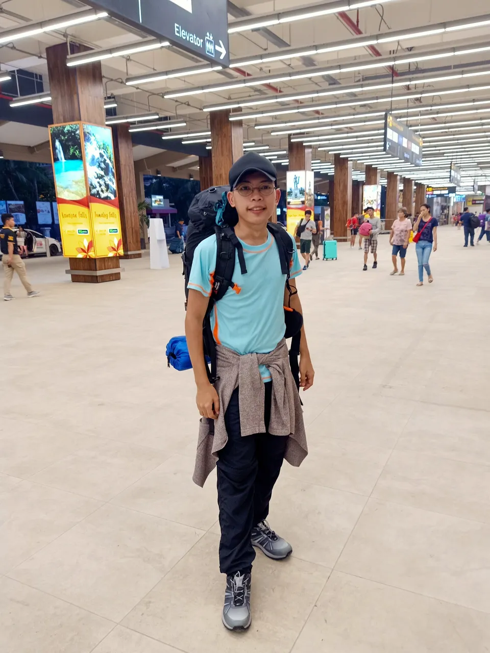
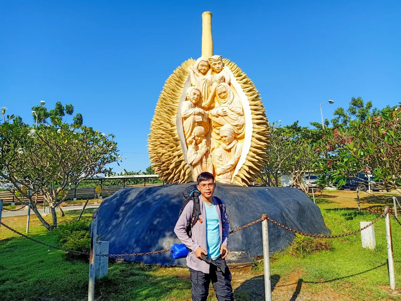
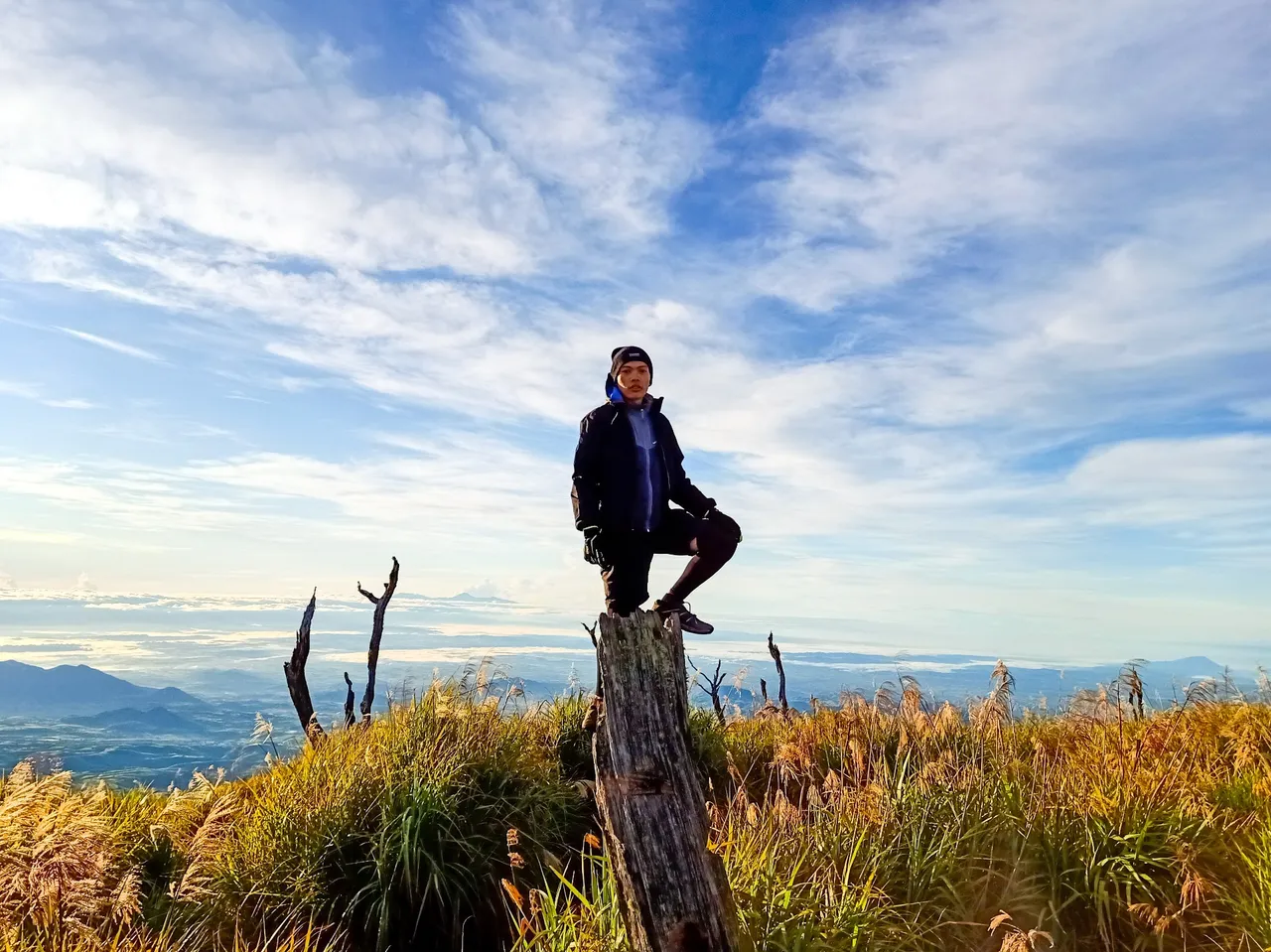
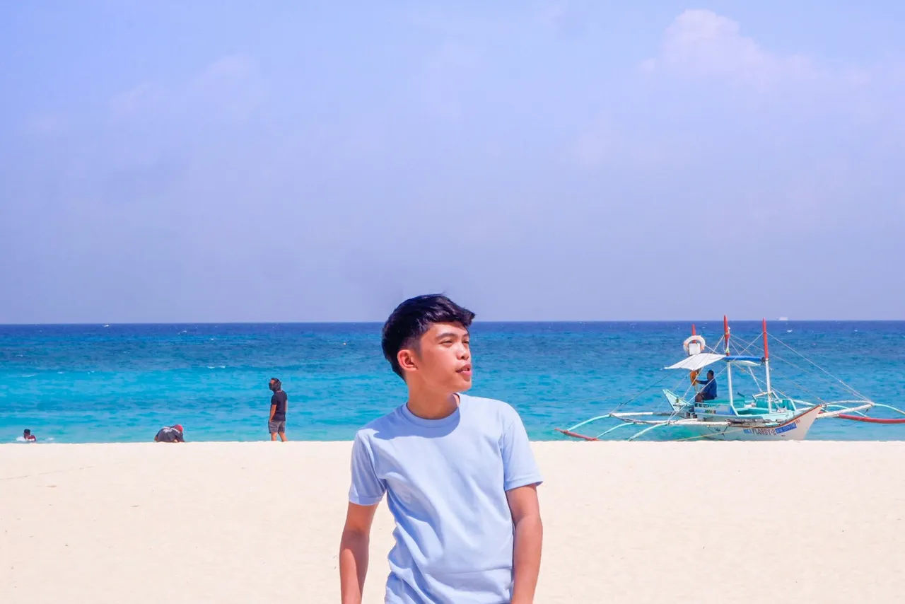
Welcome to the 25th edition of Kim's Quest! This first part of this series is dedicated for the background stories and my impressions before the climb. The photos are just teasers of what's coming, so stay tuned!
Before the Scheduled Trail
So I was a joiner in that climb. I only knew Zaniel, who was my ex-workmate, and the rest were my new friends. The original plan was to climb Mt. Apo, the highest mountain in the Philippines. It has a difficulty of 7/9 according to the mountaineers, so we had to prepare. Again, that will be my first major climb so I didn't know what to expect.
Due to El Niño, parts of Mt. Apo were ravaged by a bush fire last March. All trails were closed for rehabilitation. Our guide, however, assured that it will be opened before our scheduled climb. Everything was set. We already paid half of the climb expenses to our guide. We already mapped out out trail, which would be Sta. Cruz Trail traverse Kidapawan Trail. But then something happened...
Our first twist: We would no longer be traversing Kidapawan Trail. Upon reopening of the trails, the local government unit of Kidapawan would no longer accept exit trails from Davao. Our anticipated side trip which would have been Lake Venado would not push through. It was fine. The choice was to either do back trail via Sta. Cruz or try Bansalan Trail. The agreed choice was of course to exit Bansalan Trail for the supposed "better experience".
I programmed myself to be always be enthusiastic before and during travels no matter what happens. I always tell myself that everything will turn out fine in the end. Our leader made the necessary changes and arrangements so it would be okay - I guess.
Just when we thought everything's already in place, our second turn happened: Three weeks before our scheduled climb, Cotabato and its surrounding provinces were rocked with a 6.5 earthquake. This prompted the local government to close all trails in Mt. Apo to assess the damage and also to prevent any untoward incident since aftershocks were inevitable.
We were all worried that we will not be able to push through with Mt. Apo. When the force of nature is against you, you don't have a choice but to yield. We opted to plan for another climb with just three weeks before our flight.
The next plan was to climb Mt. Kalatungan (5th Highest Mountain in the Philippines) traverse Mt. Lumpanag/Wiji or sometimes called Macaopao Peak. The planning and arrangements would have been nerve-wracking for our leader, but she was still all high hopes, so I get along with it. My only worry that time was the difficulty level. Mt. Kalatungan has a difficulty level of 8/9 according to mountaineers which is also described as one of the most difficult mountains to climb in the Philippines. It is not recommended for beginners, but here I was, my first major climb without prior experience.
It seems we were tested with our resolve. Our third twist happened: A magnitude 5.9 earthquake struck Bukidnon, where Mt. Kalatungan and Mt. Wiji (Mt. Lumpanag) are located. This happened just a few days before our climb. It's as if we were really against a major force that wouldn't allow us to push through with our plan. Although our guide assured us that the epicenter of the earthquake was far from the mountain we were about to climb, it didn't wear off my uneasiness.
The Day of the Climb
With all that has been planned, re-planned, changed, and changed again, the day has come. I arrived at Mactan International Airport at exactly 5:00 AM as agreed. Our flight to Davao was scheduled at 6:40 AM, which has been changed countless of times by the airline company. We need to repack our bags in order not to exceed the baggage limit. Everything has been smooth so far - or so I thought.
When we were about to board, here came our fourth twist: Our leader forgot her ID! Of all that's been planned and checked, she was not able to bring ID. Of course, you won't be allowed to board the plane without an ID. Our names were already called one-by-one so we didn't have a choice but to board the plane. Our leader was left with one of our friends. We were all worried for her. Will she make it in time? By the way, she requested her "uncooperative" roommate to have her ID sent to the airport via Angkas, a local motorcycle transport network app. The good news, she was able to board the plane on time.
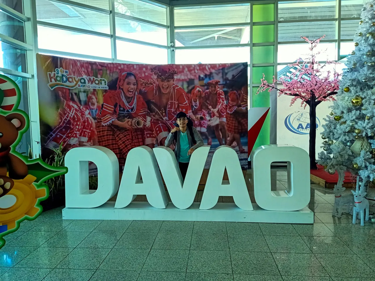
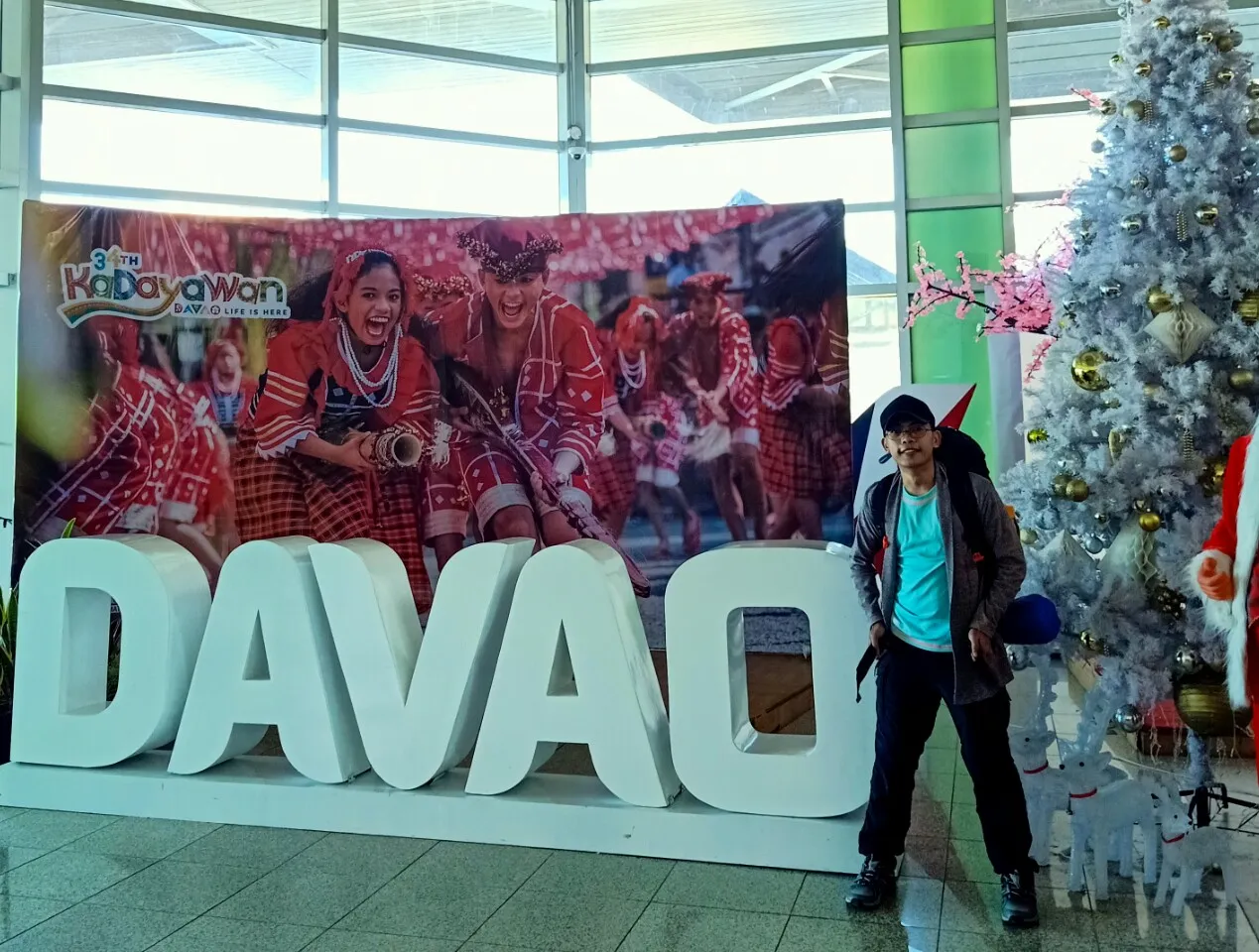
We arrived in Davao at around 7:30 AM. Our van was waiting for us at the airport for we had to travel for about 4 hours to Maramag, Bukidnon to meet with our guide.
Just when things were about to get better since we already arrived in Davao, here comes another turn of events. One of us was nowhere to be found. He was supposed to be in another flight as agreed and would arrive at the same time with us in Davao. No text, chat, or any heads up that he would or wouldn't make it. We waited, but agreed in the end that we were ghosted. We had to go since we were running out of time.
We arrived in Maramag at around 11:00 AM and had our lunch while waiting for our guide. We also bought some supplies there.
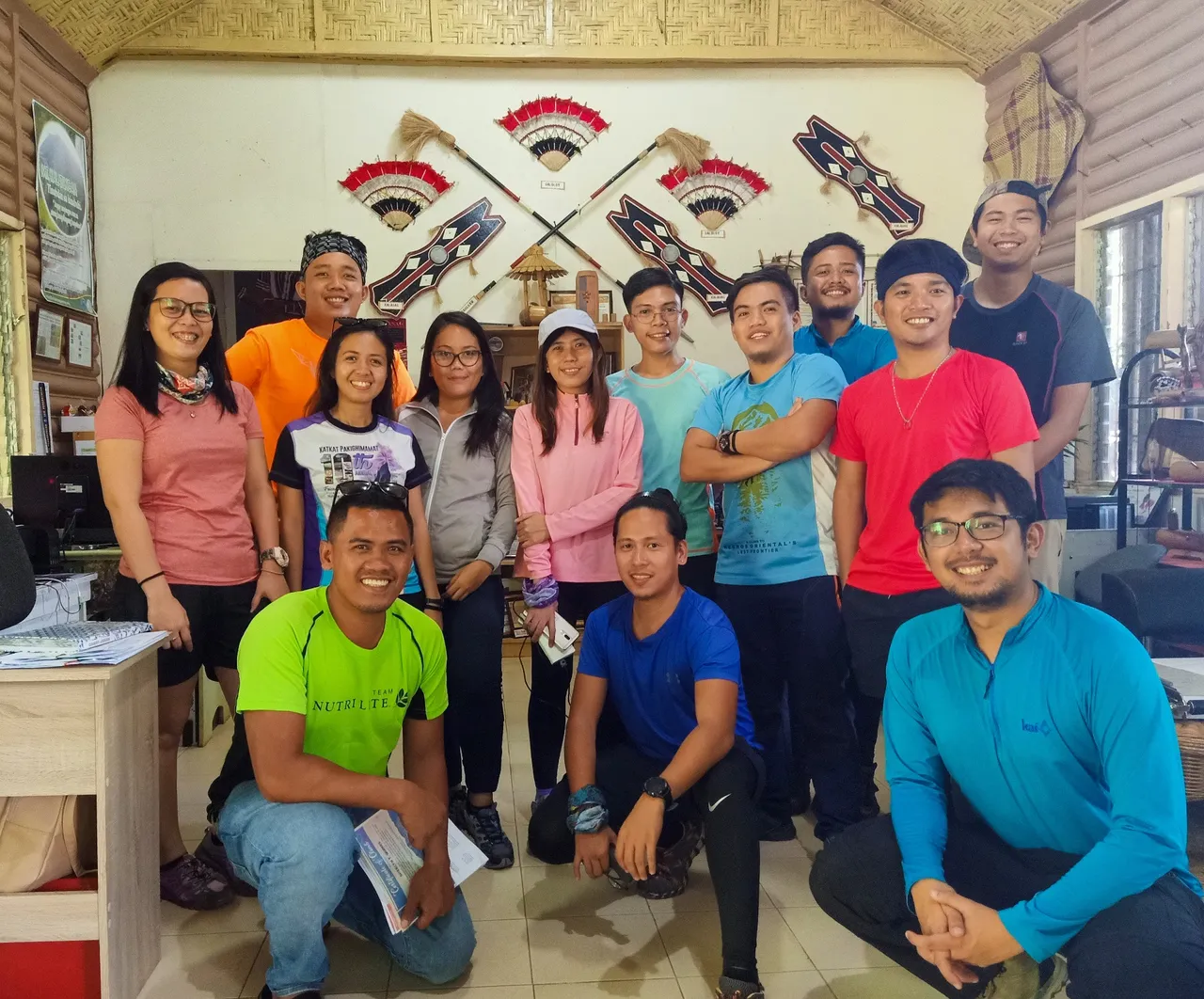
After lunch and meeting with our guide, we went to Pangantucan, Bukidnon where the tourism office that supervised any activities of Mt. Kalatungan is located. We had our orientation there and Ms. Joy of the tourism office discussed everything that we need to know about Mt. Kalatungan, including the dos and don'ts with its corresponding penalties if violated.
[1/40 secs @ f/1.7, ISO 660, 4.73 mm]
We stayed a little bit longer in Pangantucan since our guide had to buy all the necessary ingredients for our meals. While waiting, we repacked our bags to bring only the essentials and leave everything in the van. I was stubborn so I brought everything, which turned out to be against my favor (more on this in the next parts).
From Pangantucan, we arrived in Brgy. Mendis, the jump off point. We started the trek to View Deck, where we would stay for the night, at around 5:00 PM. It started to rain. It poured hard just as we leave the jump off point. Our guide said it would take about 2 hours to reach the View Deck.
Stay tuned for the second part! It will be about the first half of the trek to Mt. Kalatungan. Expect more photos then. Spoiler alert:
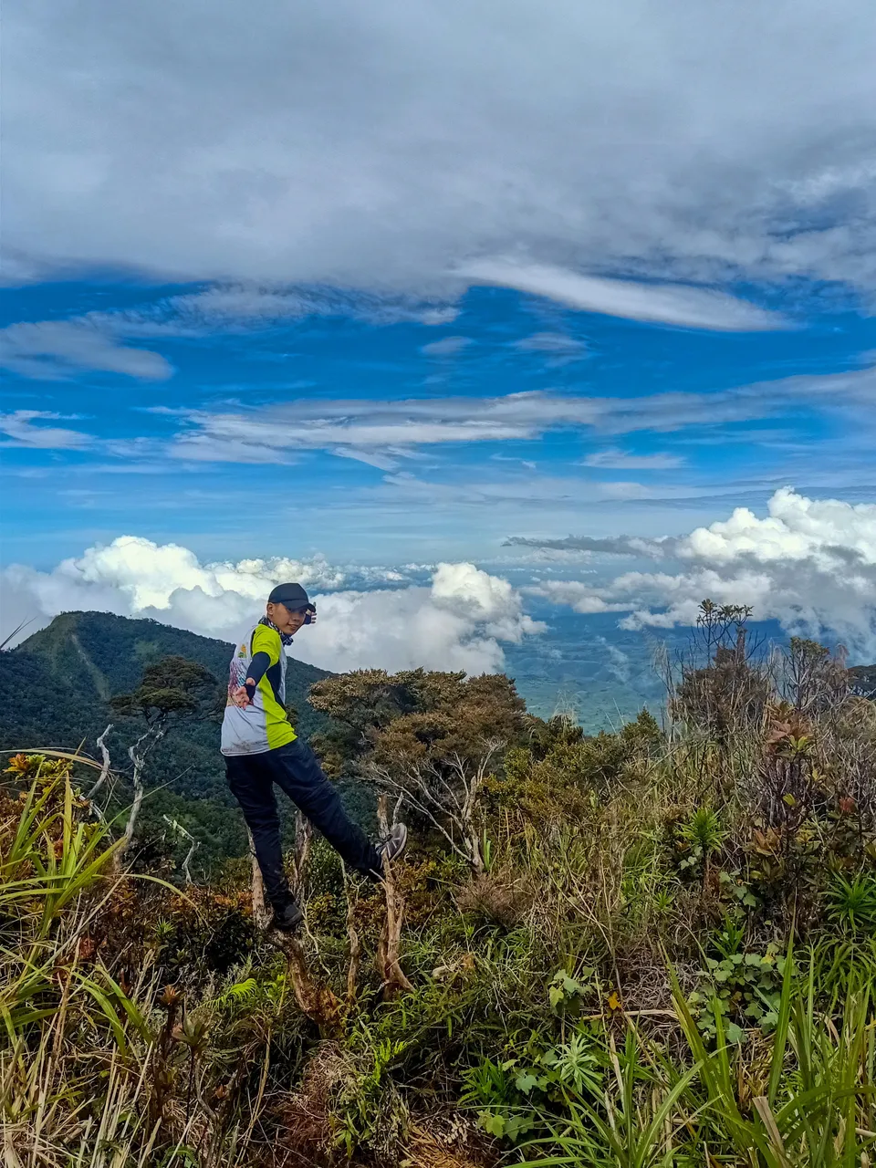
I conquered both mountains!
Kim Ybañez
Welcome to Kim's small corner in the Steem blockchain. He is a chemical engineer by profession, but a blogger by passion. He is a wanderlust and an adventure seeker. Join his quests as he visits secluded destinations, climbs mountains, tries new and exotic dishes, and explores his country (The Philippines) and the rest of the world (it will just follow since he's still a poor, corporate slave with tons of bills to pay and two siblings to support in college).
View this post on TravelFeed for the best experience.