It has been 4 days since I came to Solang Valley, so far I have visited Anjani Mahadev temple, done recce of an unknown trail and Patalsu Peak Summit. Coming from 700 meters elevation, I had a good adventure in the last few days. The trail I went to do recce yesterday, today I have to mark the route for the trail running event on the same trail. So today I will mark the route from Solang Valley to 14 turns and this distance will be 8 km. So friends, let's go on this wonderful journey.
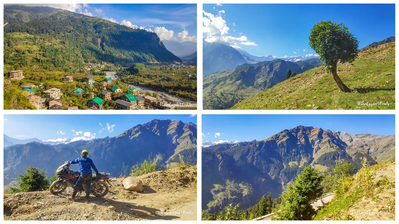
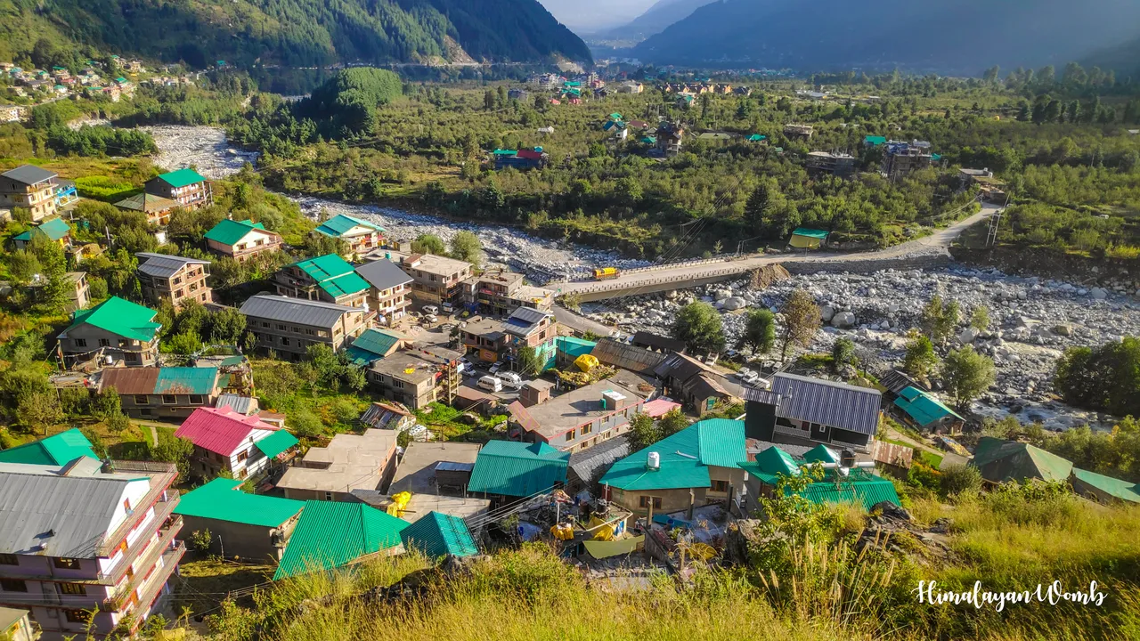
First of all from Solang I have to reach Kothi village which is located at 2750 meters, today also I thought it better to go on foot instead of car. Walking on the road, I reach Kothi village which is about 4 km from Solang in an hour and a quarter. Today I was late in leaving the hotel because it took me some time to collect the material for route marking. By now the sun has become very strong but the good thing is that the trail I have to go on has the shade of dense trees.
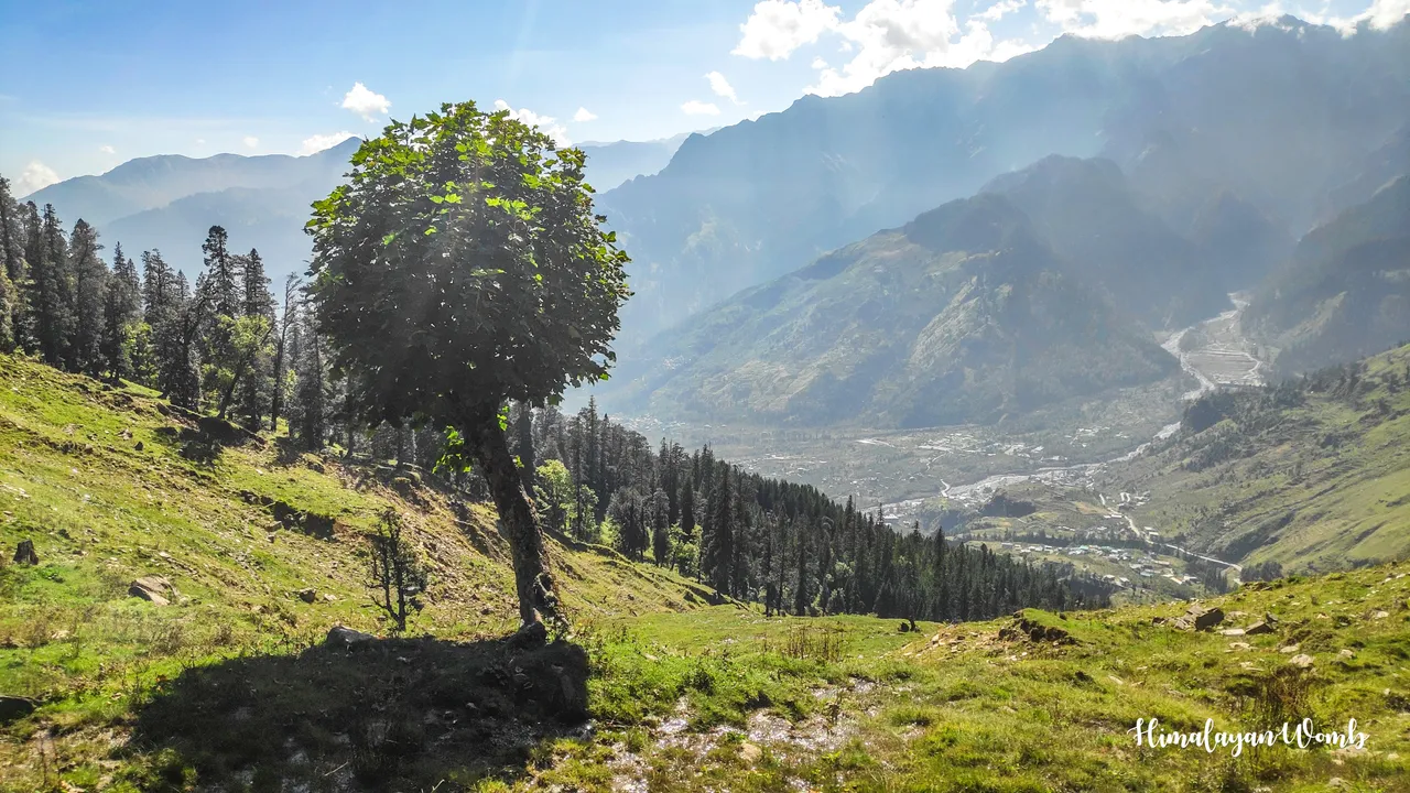
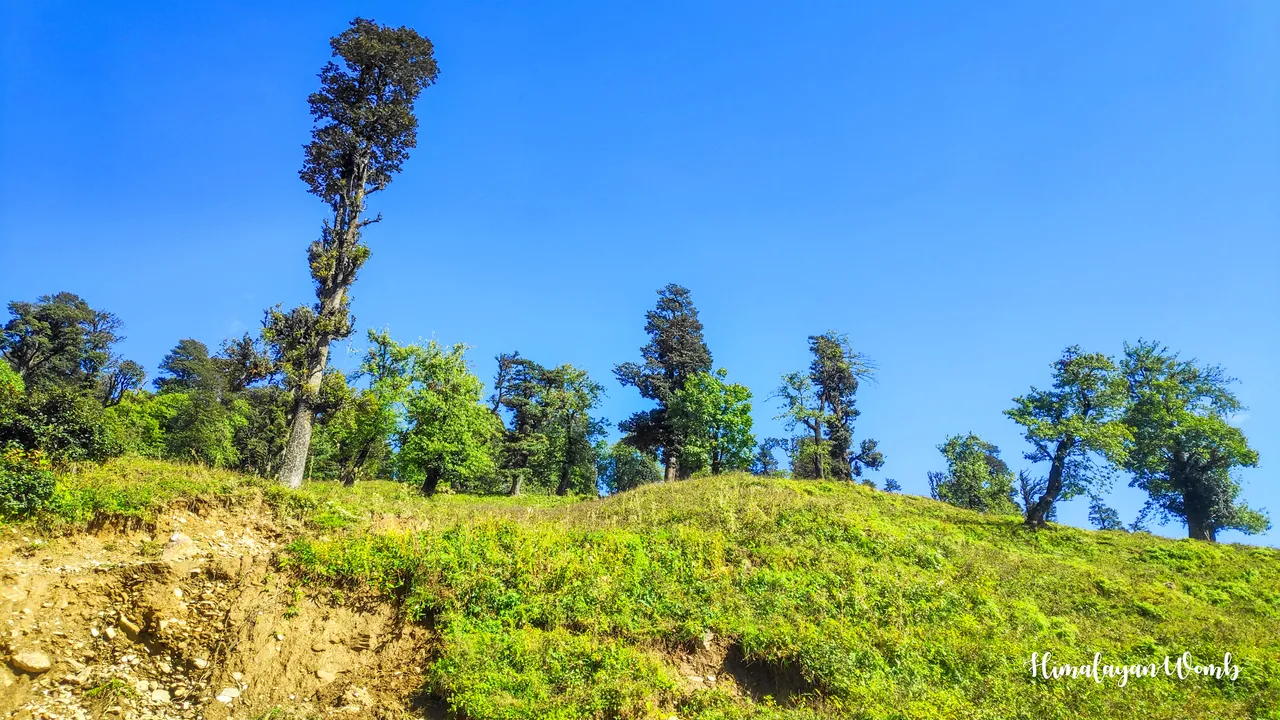
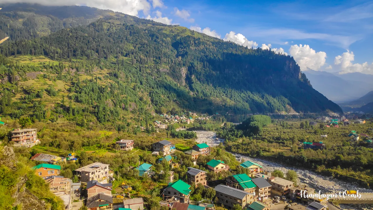
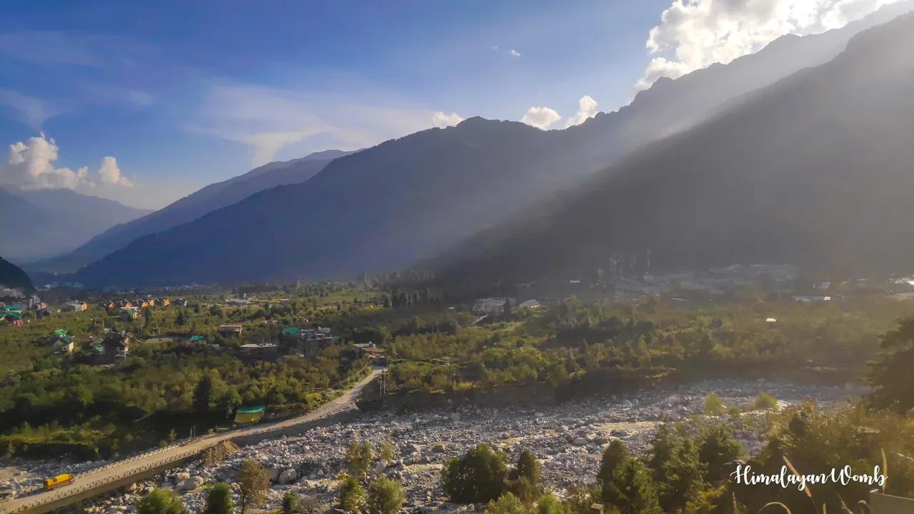
From Kothi, I now enter the deodar and pine forest. I have to put flags and white arrows in the marking so that the runners do not lose their way while running in the forest. While walking, I am looking at Hanuman Tibba, which is carefully watching the valley like a king above the Beas river. At a distance, Durga's flag is fluttering on the peak of Anjani Mahadev temple, hundreds of devotees come here every day to see Lord Shiva.
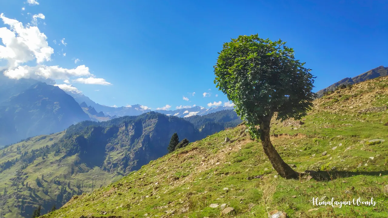
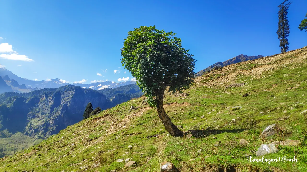
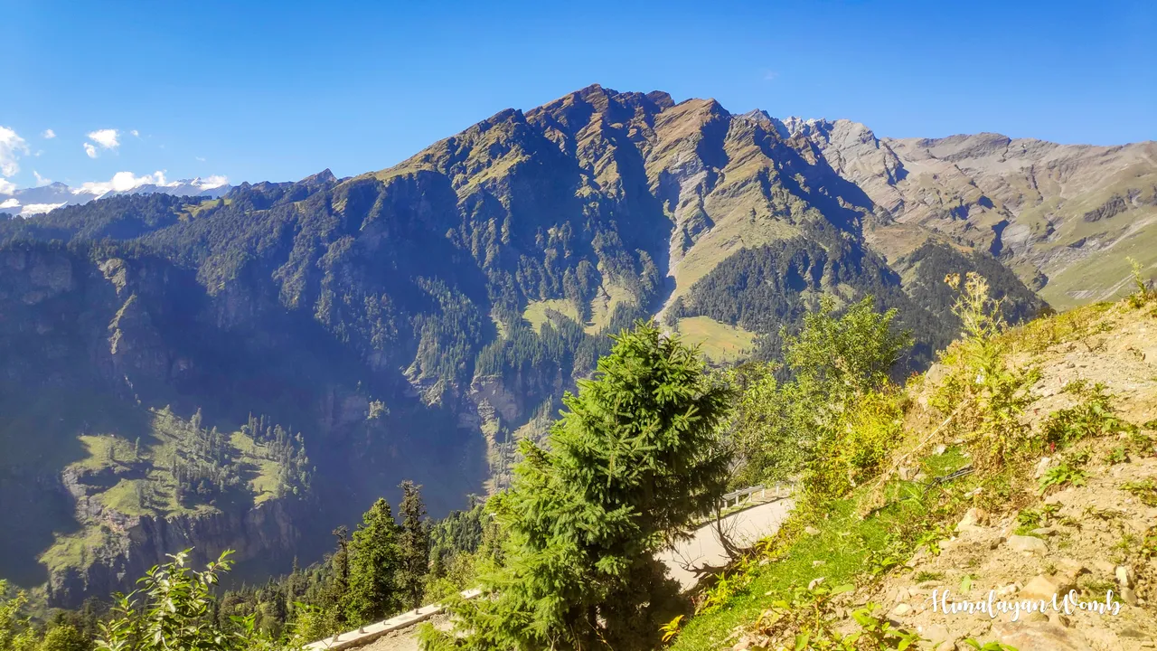
It has been 2 km on the trail and only 2-3 km of the journey is left. The cold wind from Patalsu Peak is directly hitting my face and believe me, when you sweat, the cold wind feels very good. The views are so beautiful that it is fun. I just crossed the junction from where one road goes to Mori Dug via British Bridge and the other road goes to Bhrigu Lake via 14 turns. I have to keep climbing up on the 14-turn road until I reach the road going to Rohtang.
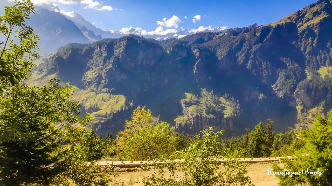
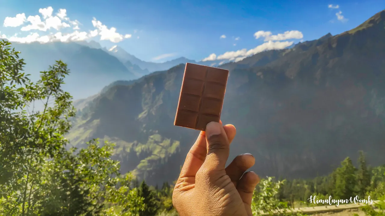
After climbing the next 2.5 kms, I reach the 14th turn, which is 3000 meters high. If we go down from here, we will reach Manali and if we go up, we can reach Rohtang Pass from where we can reach Lahaul-Spiti valley and Ladakh. I stop here and eat the chocolate I had brought with me and after drinking water, I think about going down.
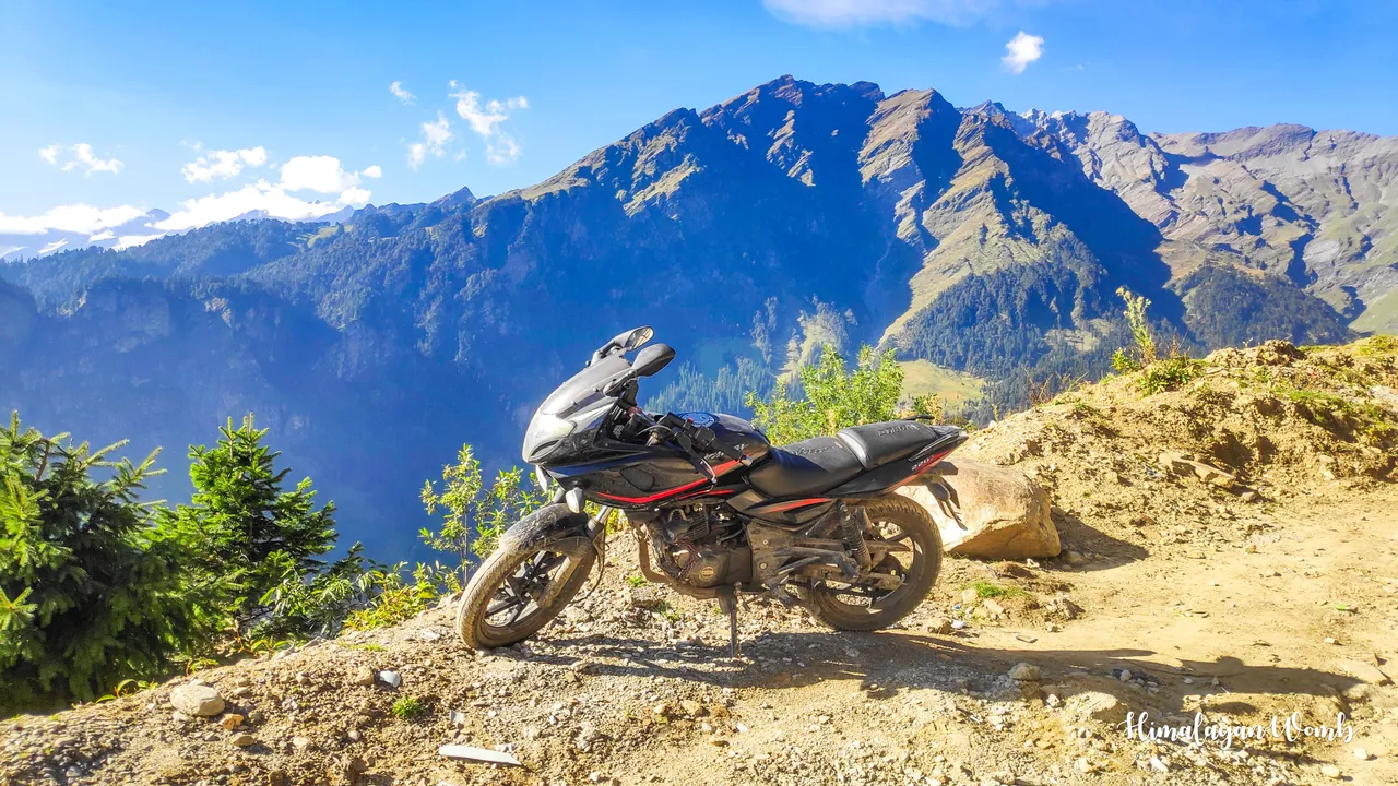
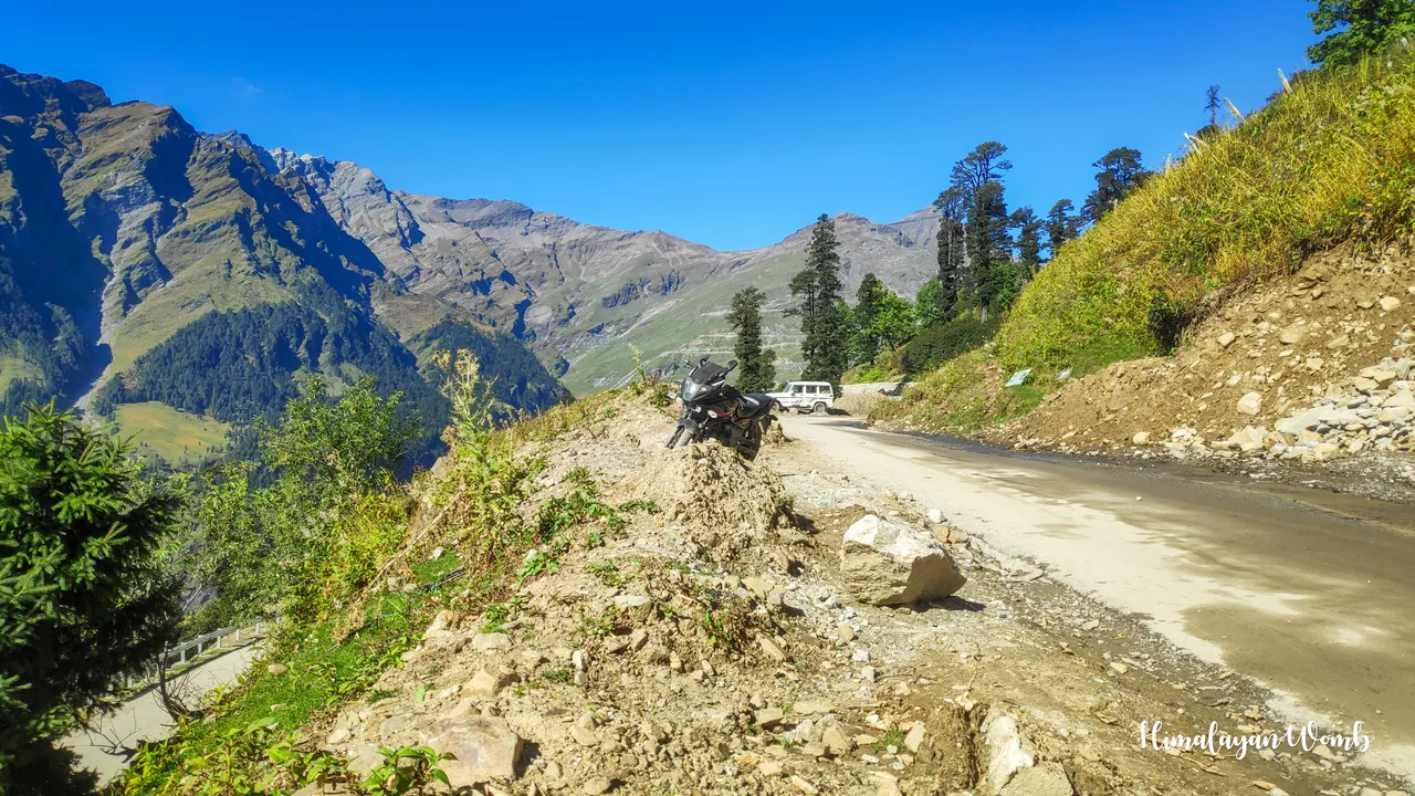
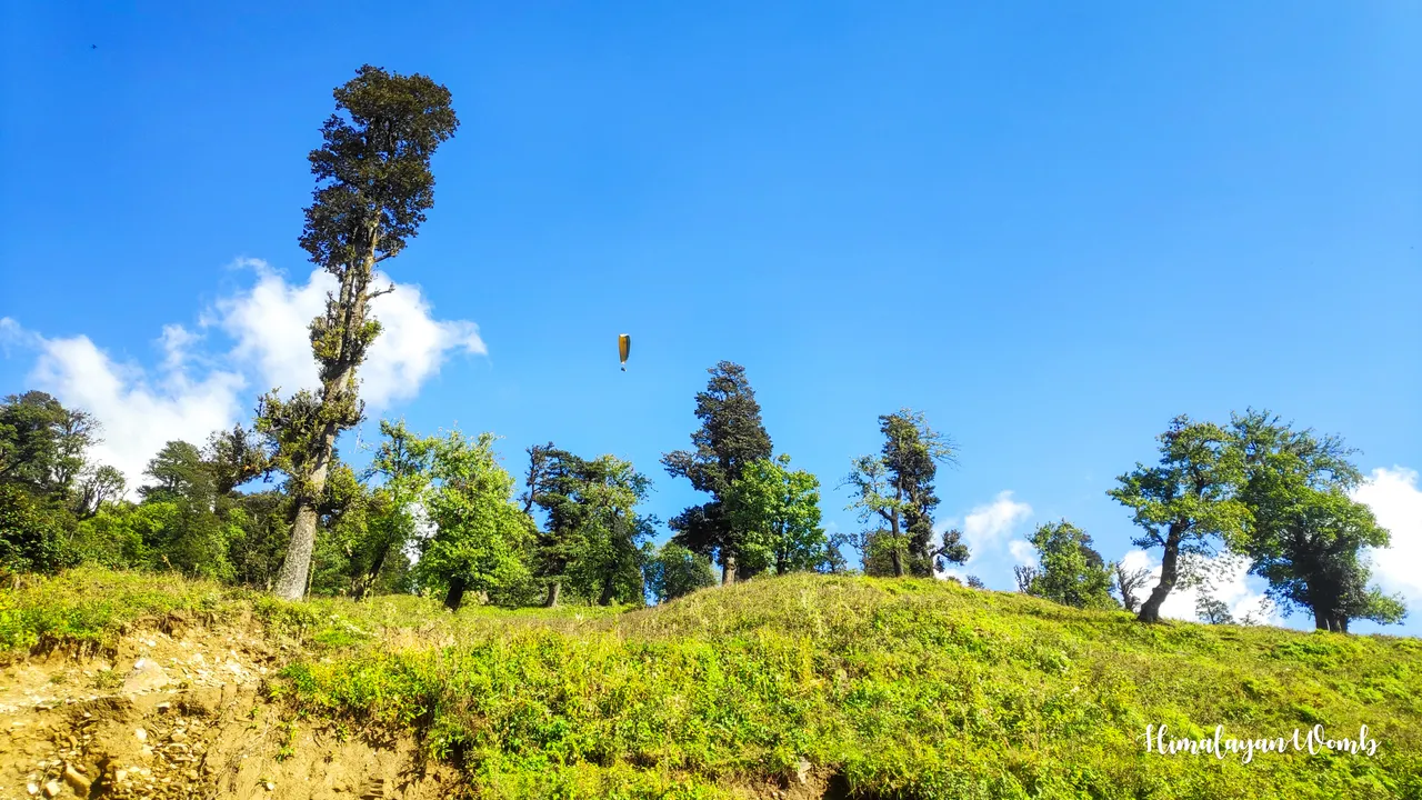
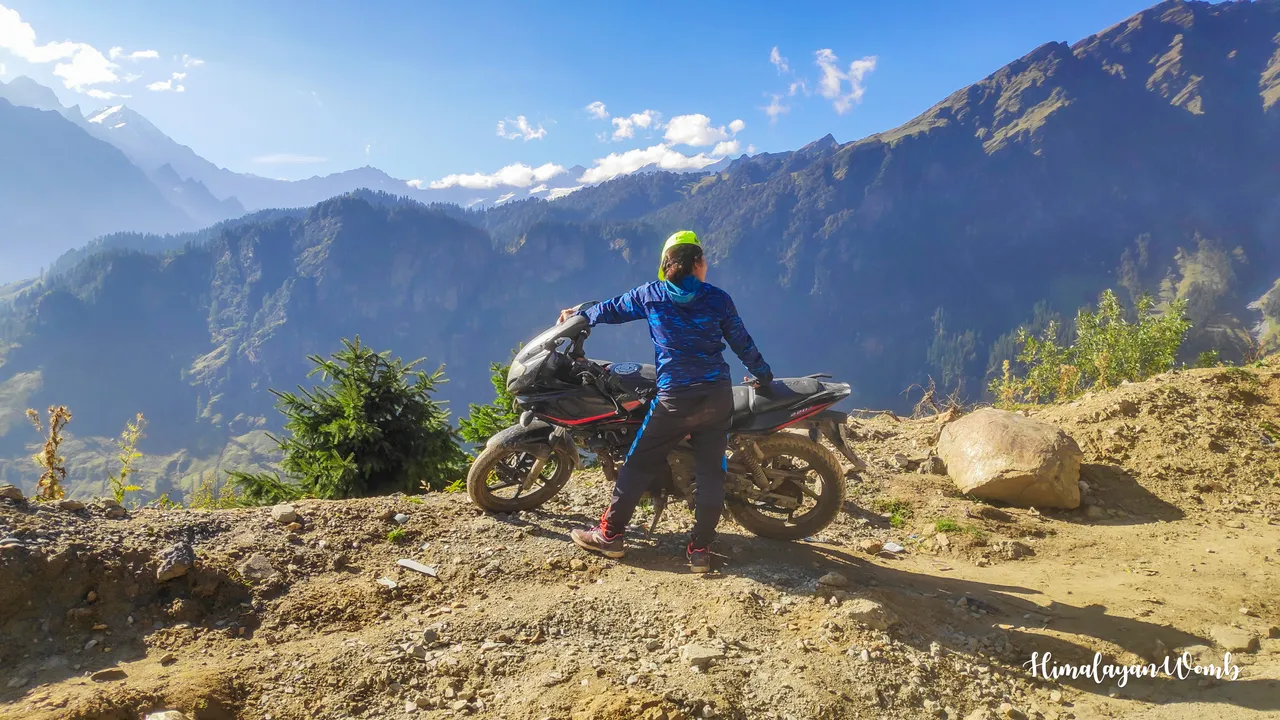
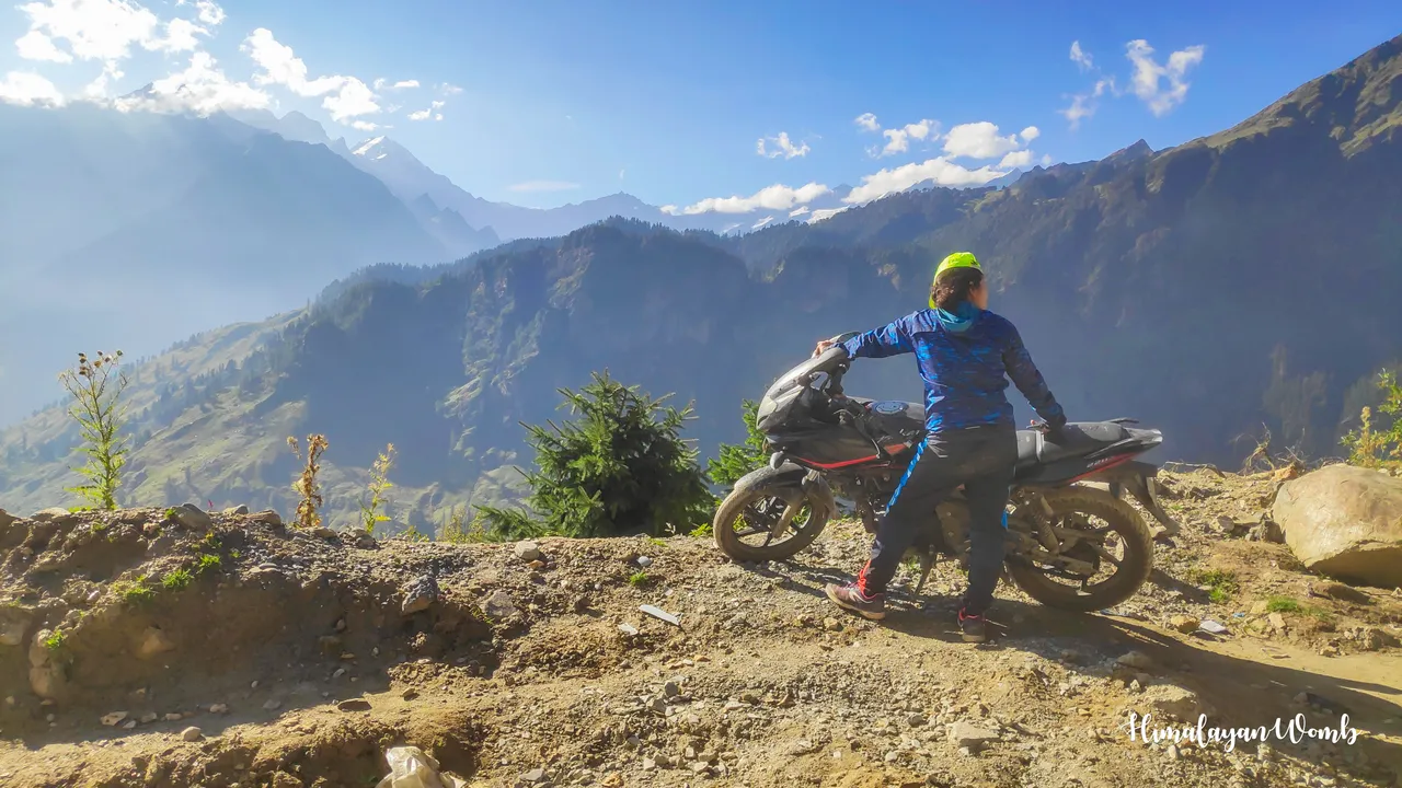
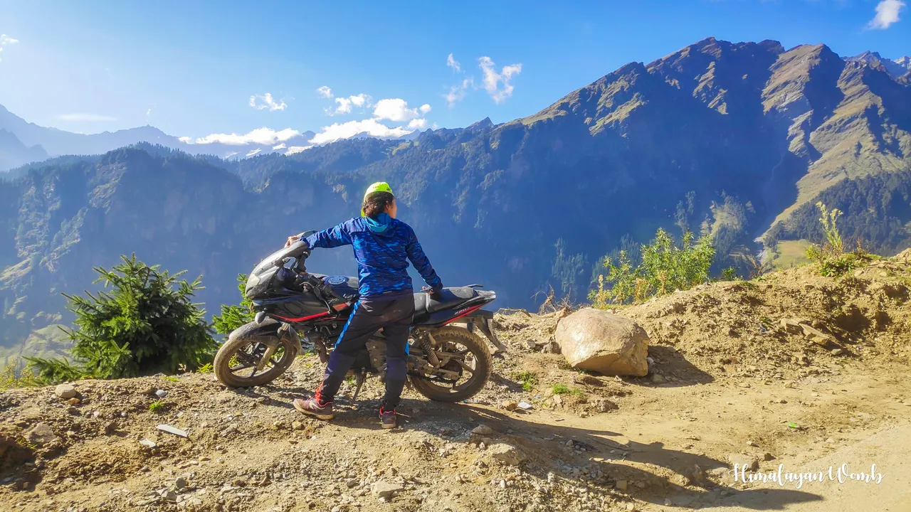
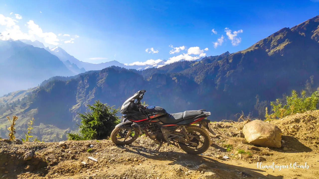
Someone had gone to park a motorbike nearby, God knows where. My friend clicked photos on this motorbike. There is blue sky above us where colourful paragliders are flying. We stop for about 15 minutes and start going down. We have already covered 9 kms on foot and our destination is another 15 kms from this side of the road.
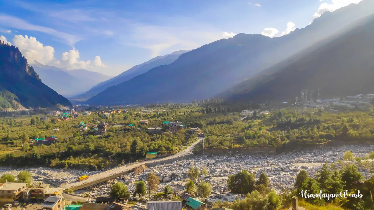
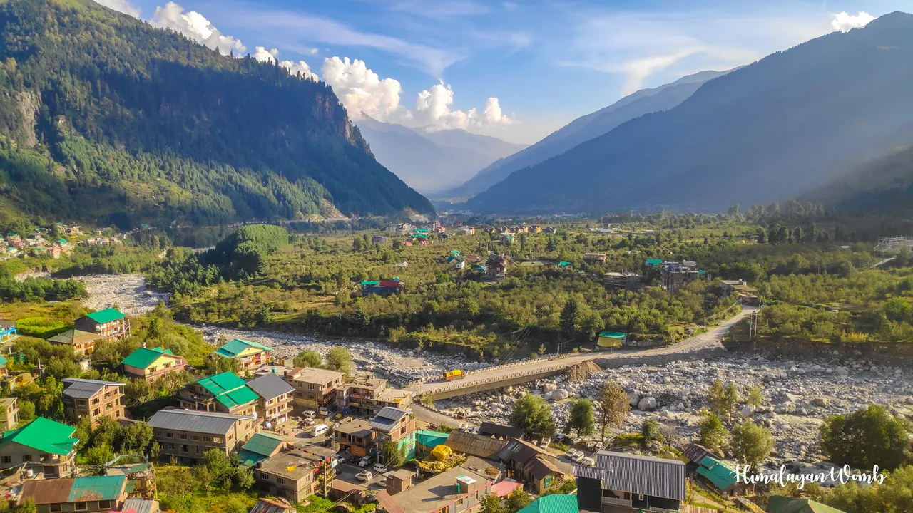
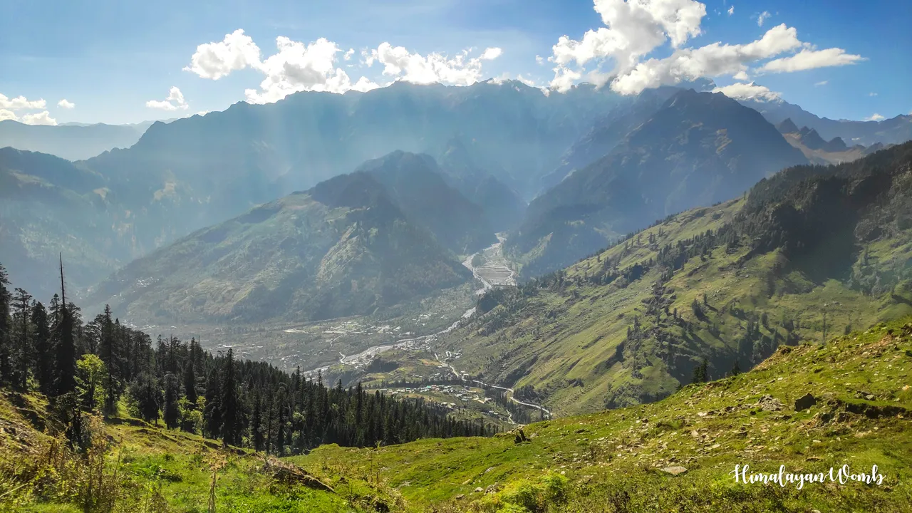
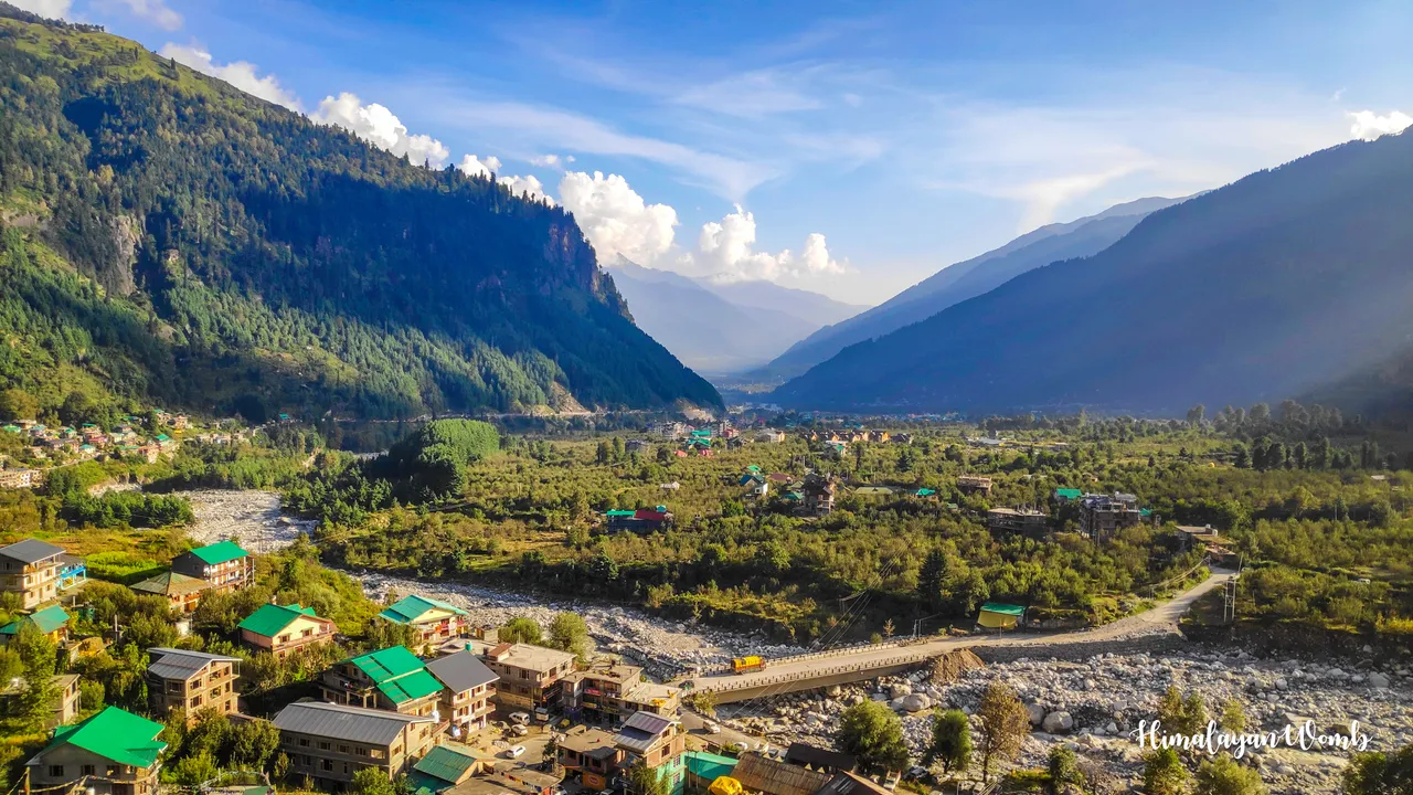
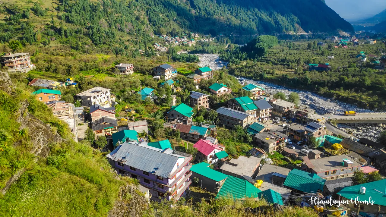
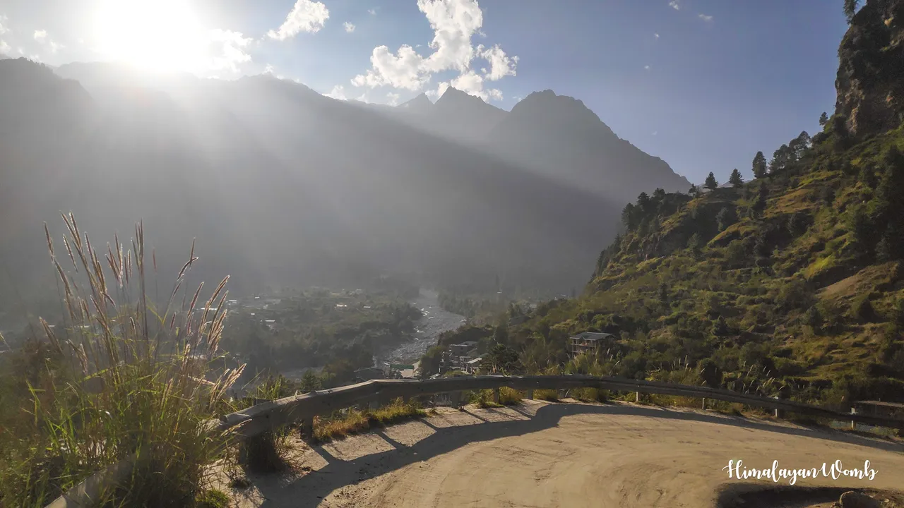
It is afternoon and we are still walking on the road towards the hotel. After reaching the kothi, we click photos of the valley from where we can see Manali shining along with the Beas river. A splendid view of Barua village, Old Manali and Palchan village is visible while apple orchards are also adding beauty to the valley. Starting from 10 am, we reach the hotel at 4 pm where we eat and then rest so that we can go on another trail again tomorrow.
Disclaimer: This post is originally written in Hindi and I have used Google Translator to translate the Hindi text in English. All the photos have been clicked by me from POCO F1 android smartphone and edited in deskstop software adobe lightroom. Thumbnail created adobe photoshop.
[//]:# (!worldmappin 32.31483 lat 77.18586 long Hiked 9 km in 9 hours (14 Mod, Himachal Pradesh, India) d3scr)