it was drizzling when work ended but that wasn't enough to discourage me from doing my night walks. well, it did a bit but i went anyway. so now, i decided to go north. and here is the adventure (or misadventure) i had with the four bridges. allow me to share pictures i took along the way.
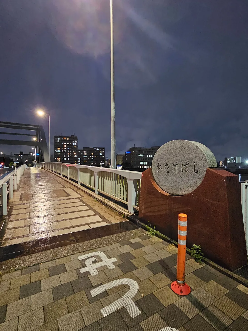
otake bridge
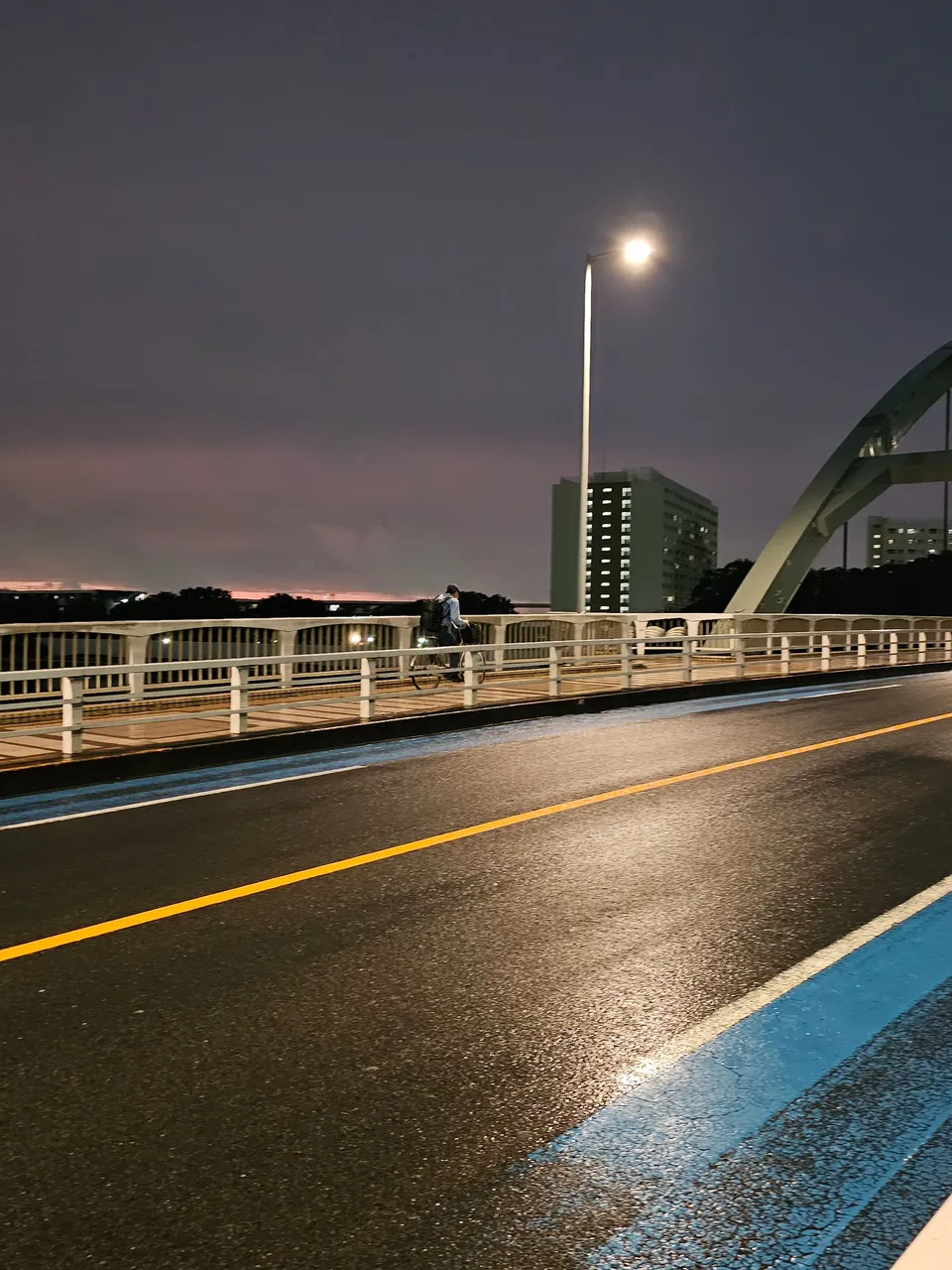
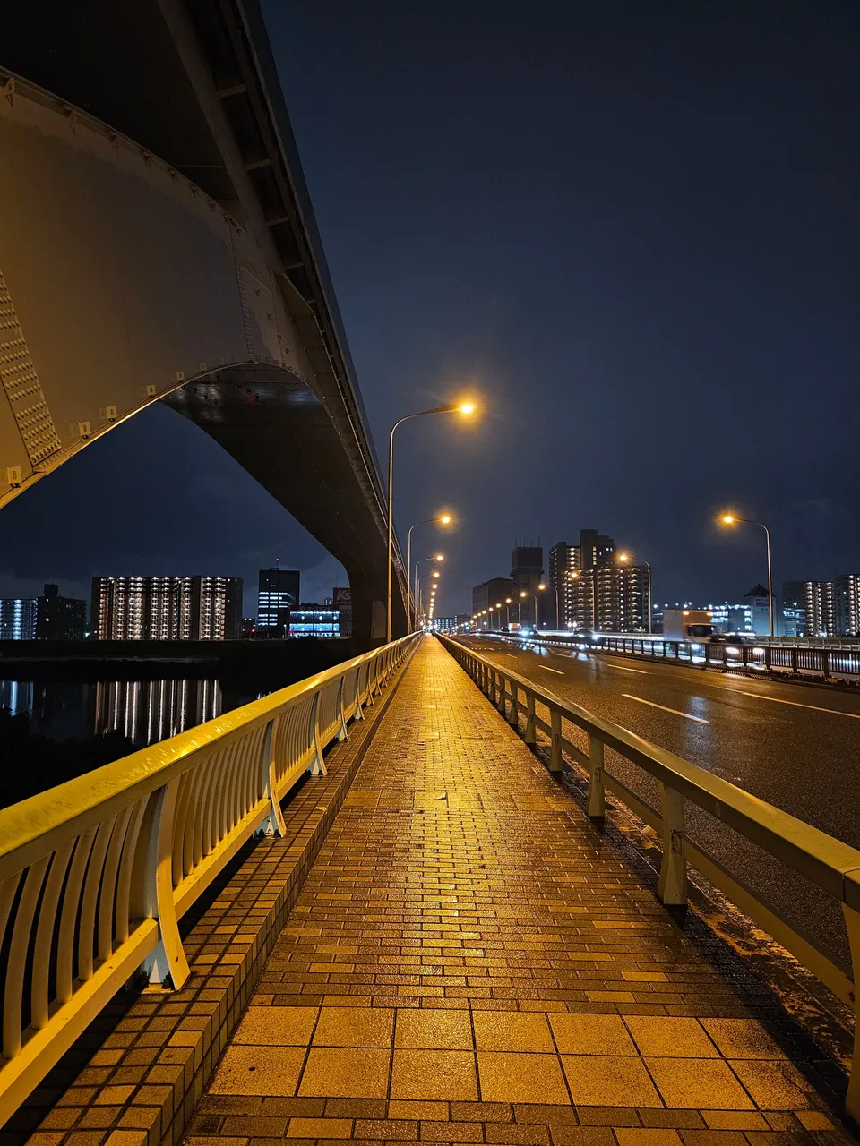
this was the first bridge i came across and this crossed the sumida river. you can still clearly see the wet pavement but the drizzling have subsided at this point. i took a zoomed shot of a lighted area in the horizon, the clouds above were so dark but there was a lighted gap just above the buildings. i guess that is how rain looks from afar. this bridge technically sits on the border of my home ward, arakawa, and the neighboring adachi. according to a quick wiki search, this steel highway bridge was initially constructed on 1934.

nishiarai bridge
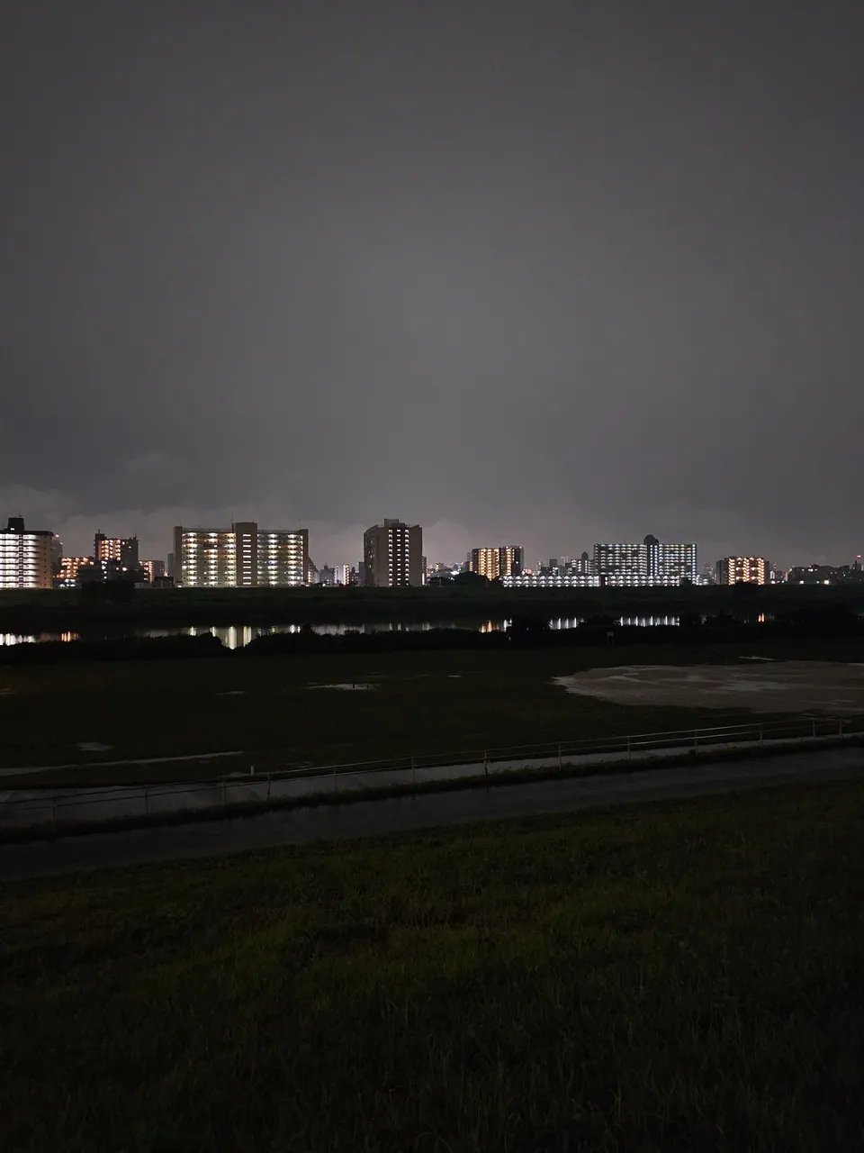
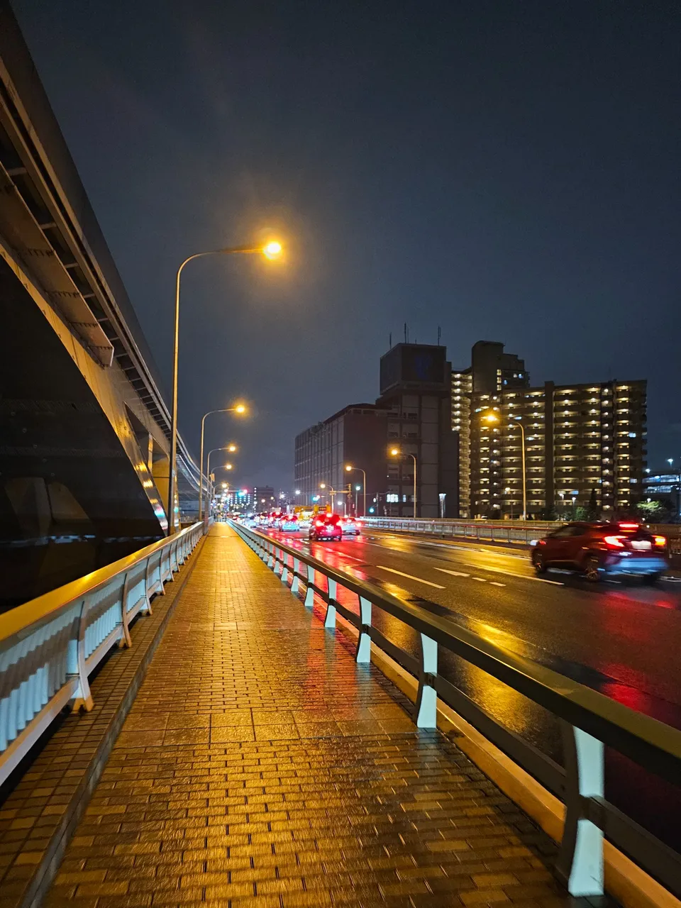
i walked on further and reached this bridge which crosses an even wider river, the arakawa river. it is a bit funny that arakawa ward does not even touch this river at all despite the name resemblance. this river has a wider bank which had football fields. originally a wooden bridge on 1922, this concrete permanent bridge was completed in 1960. i wonder how deep this river was.
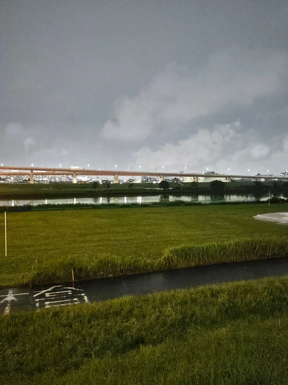
arakawa river banks
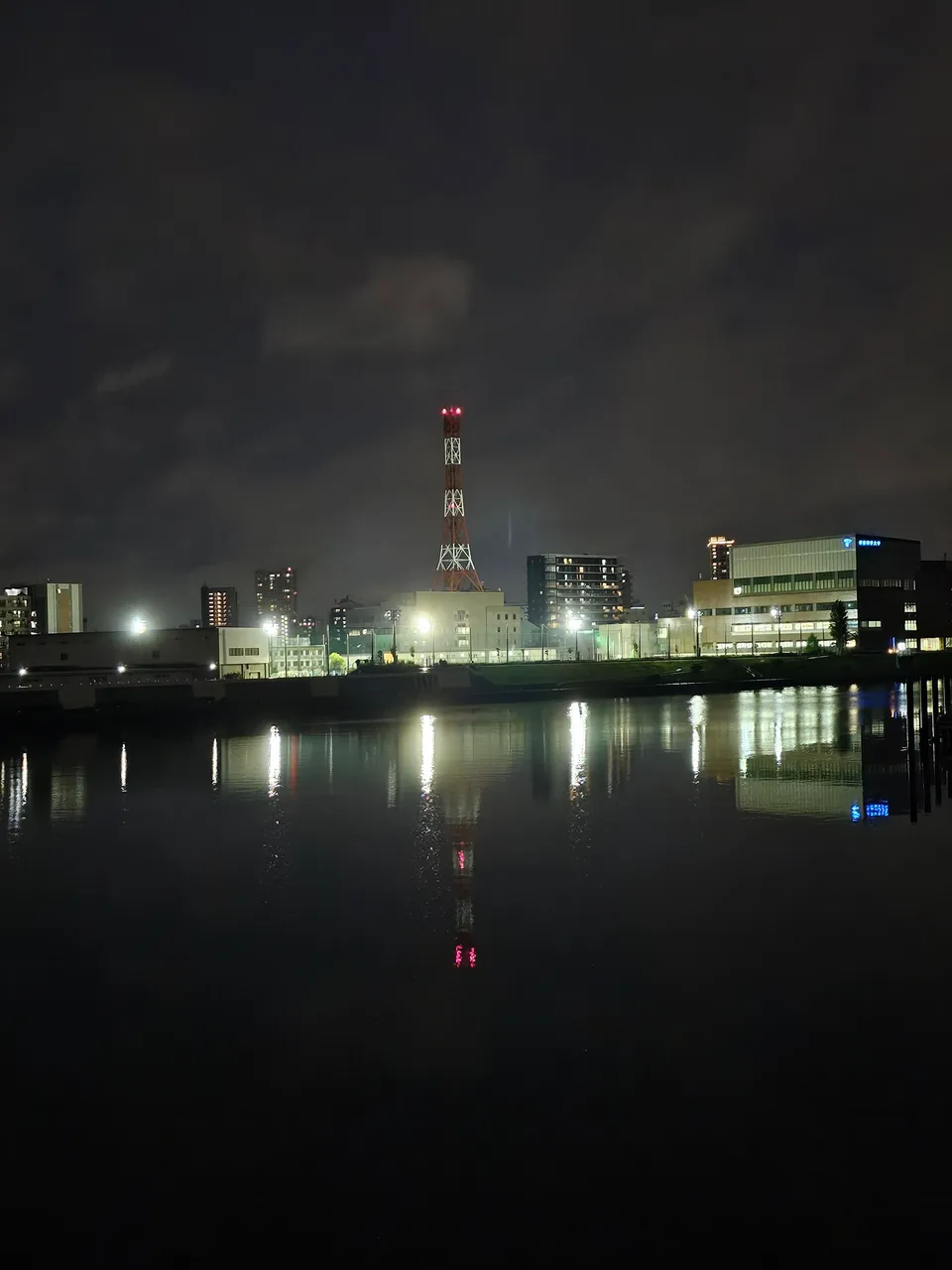
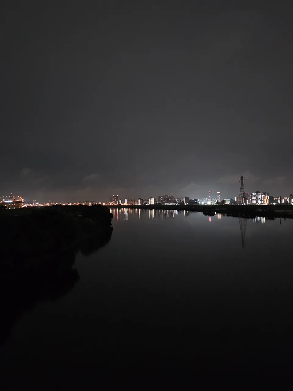
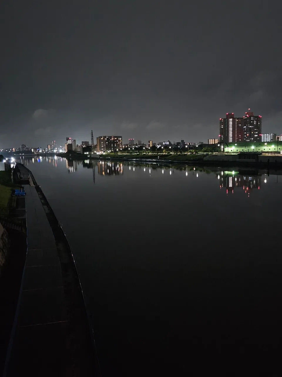
i finally turned left and walked on the banks of the arakawa river. the area was beside the highway and was paved. this is great for walks and bicycle rides in daylight, there is sadly no lights at night. it was dark, i could not even see the faces of the passers by i walked past. but because it was dark, it was perfect to view the lighted buildings from across the waters.
ogi ohashi bridge
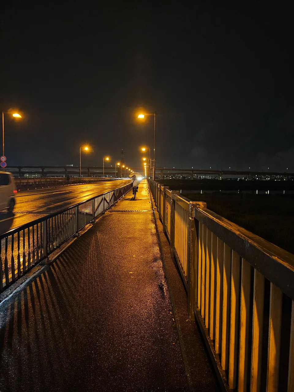
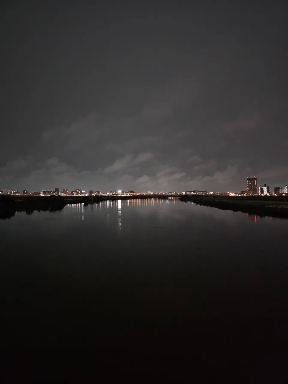
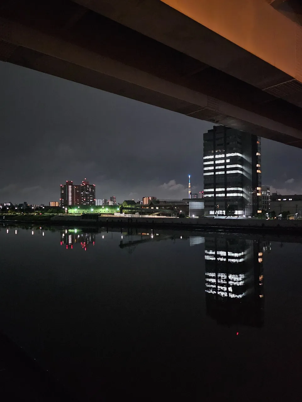
as i reached the end, i turned left and crossed the river again over this bridge beside a train line bridge. this steel structure was originally completed on 1974. the street lights were just beautiful at this point and the river was so calm. now i walked this bridge and it connected me directly to the next one.
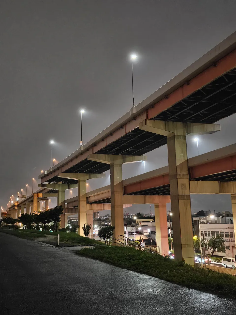
ogu bridge
the final bridge of the day which led me back to arakawa ward. we are now crossing the sumida river once again. now this steel one was completed on 1968 so i really don't know how it happened when i was fully connected to the previous bridge built on a later year.
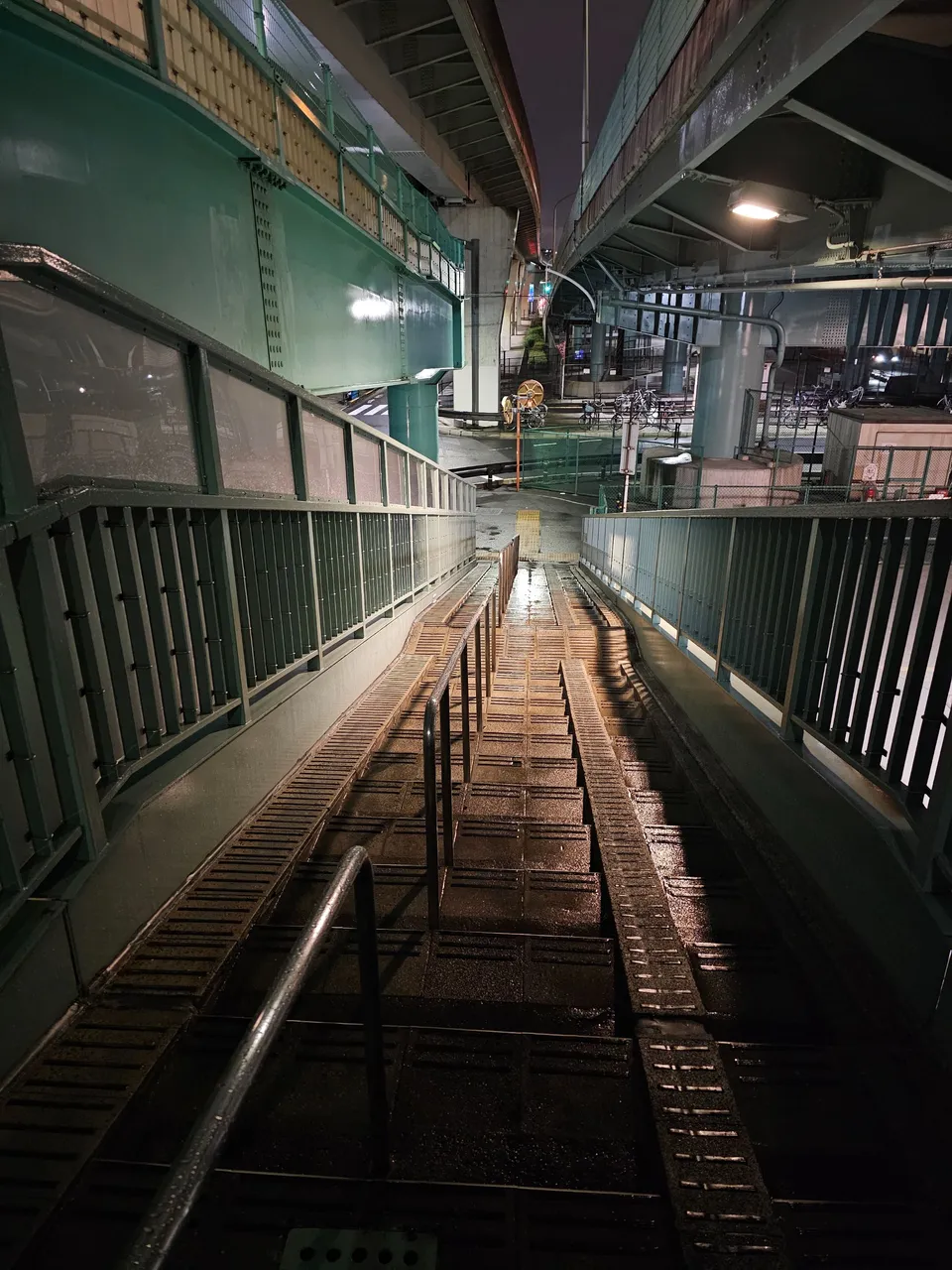
i ended my bridge journey going down this stairs at the side. now i am back at ground level.
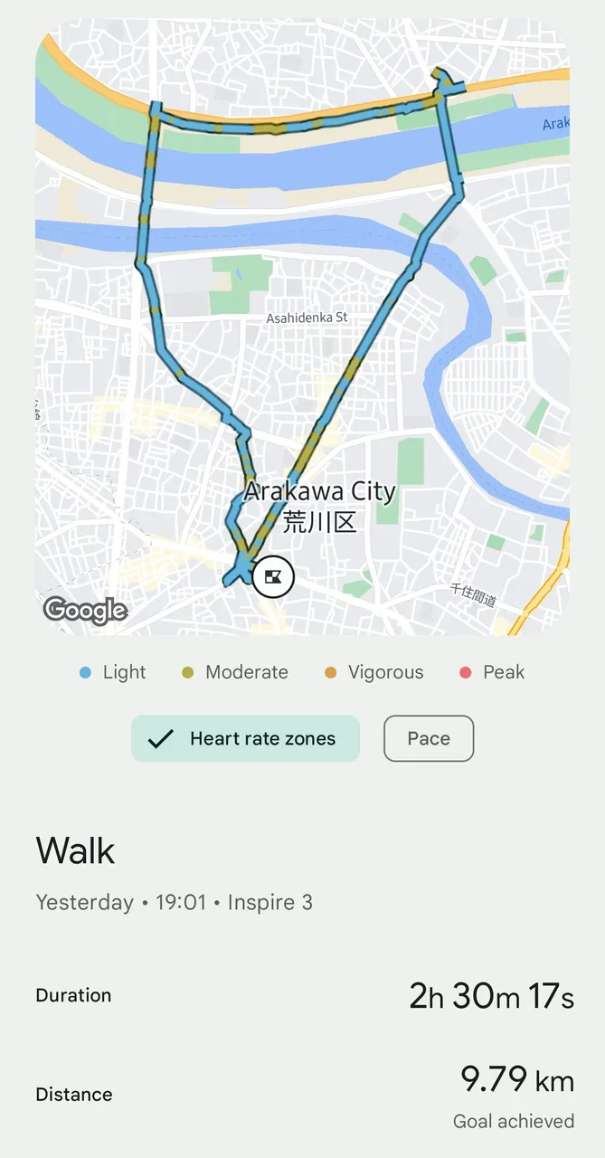
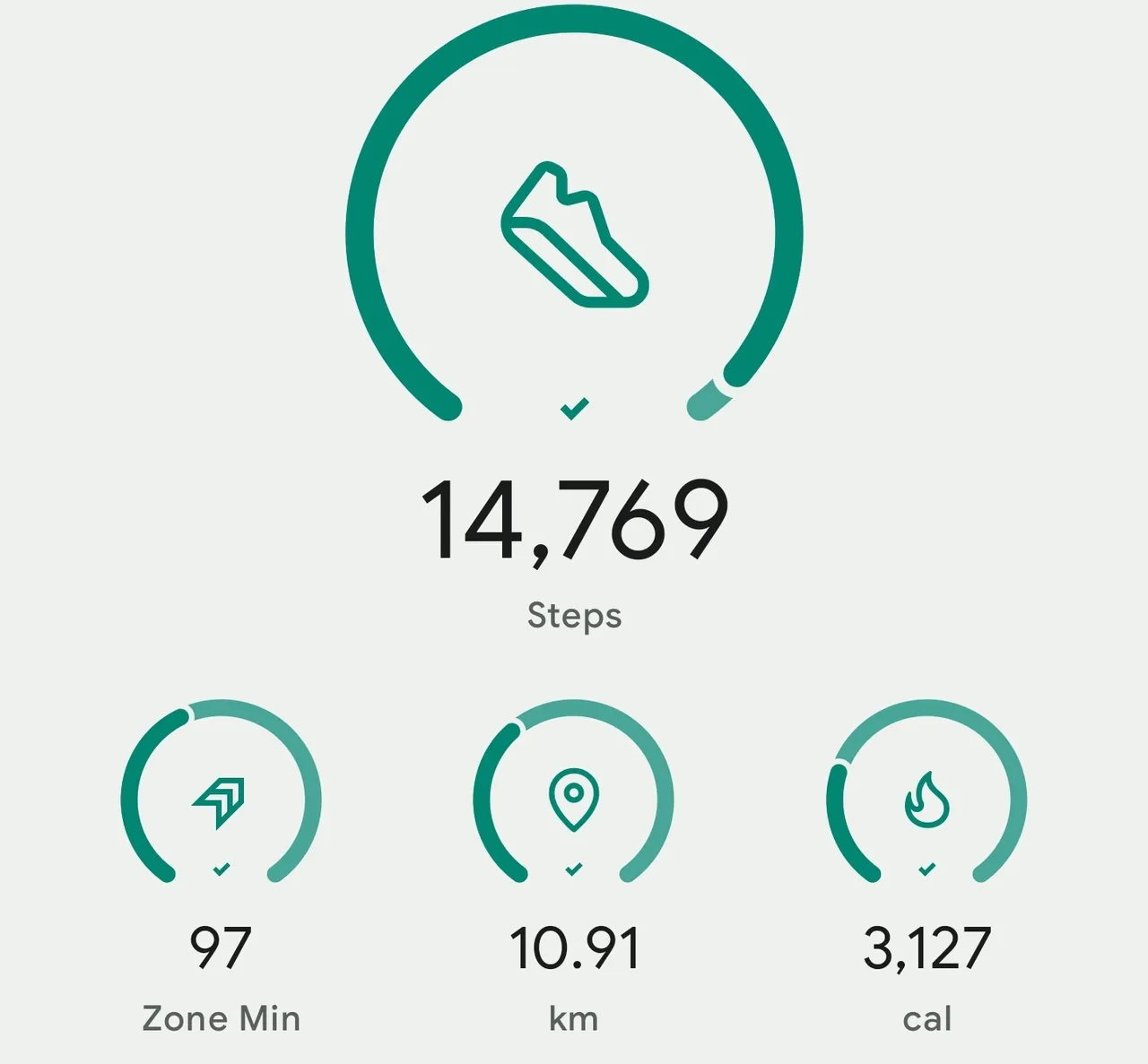
in total, i travelled 9.8 kilometers for 2 hours and 30 minutes. probably next time, i will need to go down and take pictures of these bridges from the sides just to see how good they are but that would be best done in daylight to see more details. that would not be a night walk then.
as always, take care and stay safe.
AMPING KANUNAY!

all content is by yours truly unless otherwise specified
all photos are taken with a galaxy s23 ultra
This report was published via Actifit app (Android | iOS). Check out the original version here on actifit.io


Height168.0 cm |  | Weight71.9 kg |  | Body Fat19.1 % |  |
Waistcm |  | Thighscm |  | Chestcm |  |