Hello dear friends! here I am again. Today I want to share with everyone, a wonderful trip of mine, over the past weekend. The place that I want to introduce today is the Son Tra peninsula, I also have a lot of my articles, about tourist attractions of the Son Tra peninsula. But on my trip this time, I went around the Son Tra peninsula, passing through many beautiful places of Son Tra peninsula, as you know, the Son Tra peninsula has a relatively large area. wide, if it takes 1 day to go, I'm sure you won't be able to go to all the places here, will this place bring attraction to everyone when they come here? Son Tra Peninsula has long become a popular place for locals as well as tourists, to escape the heat and bustle of Da Nang city.
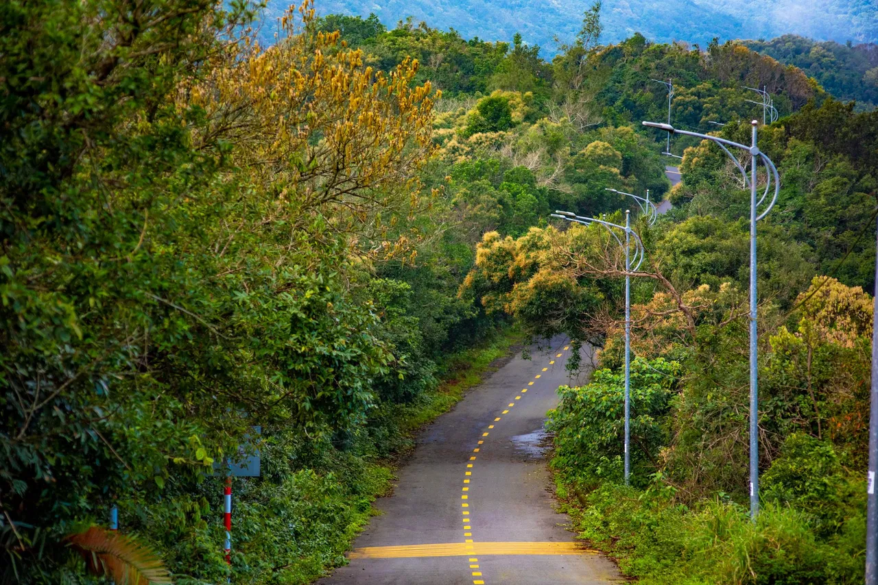
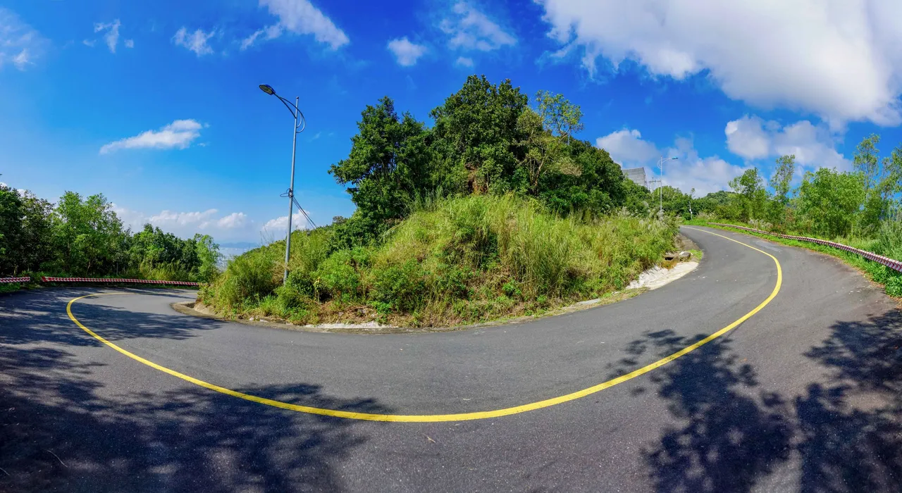
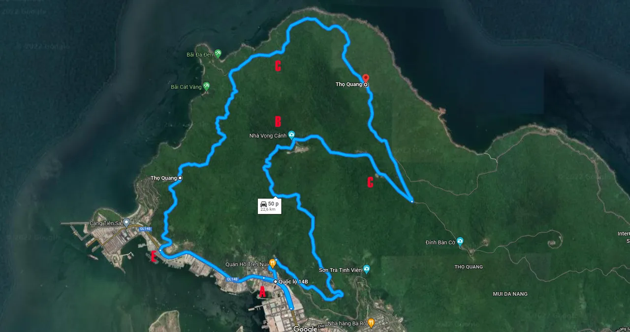
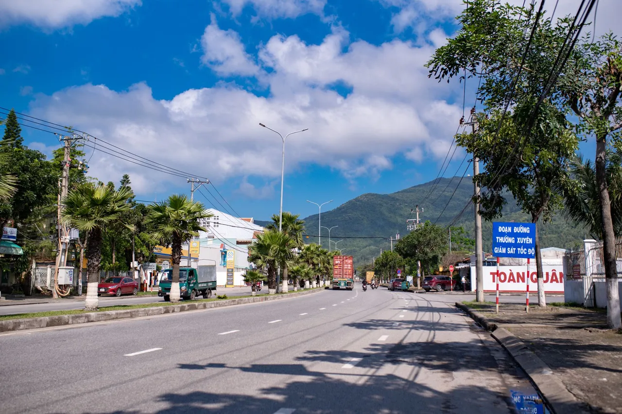
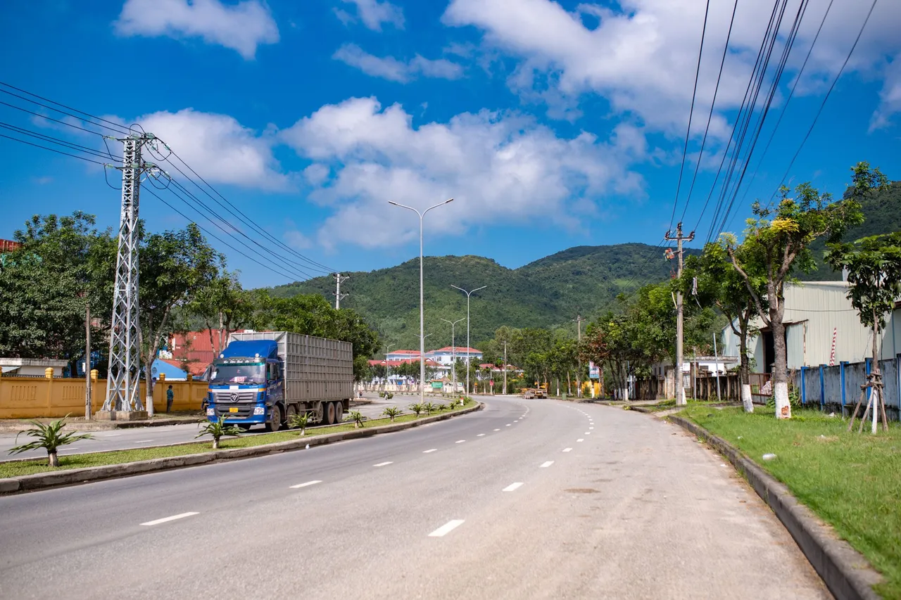
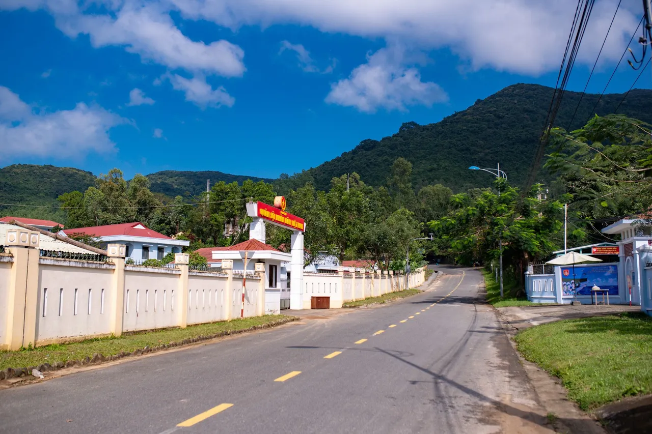
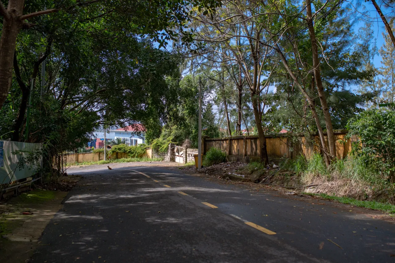
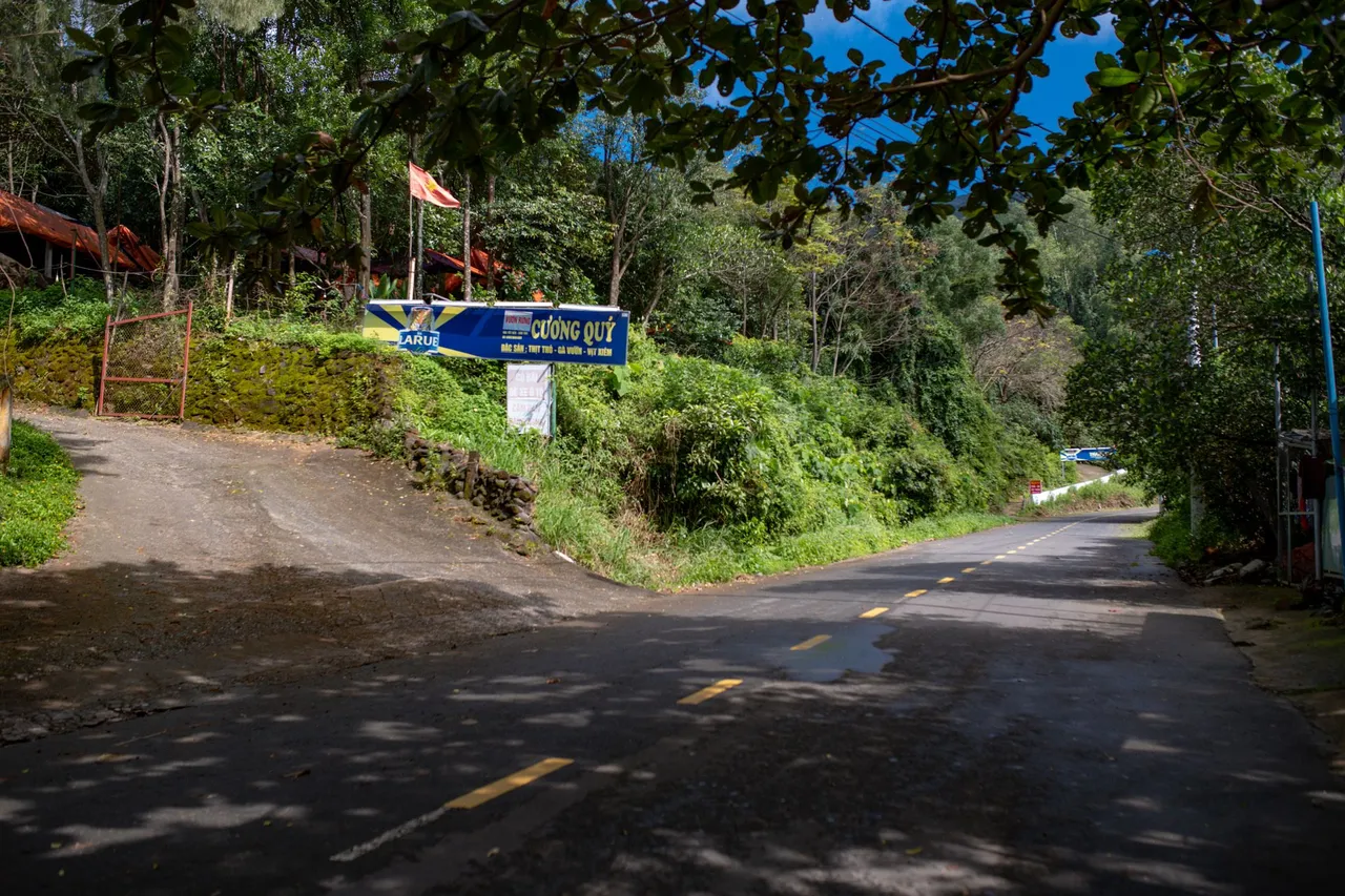
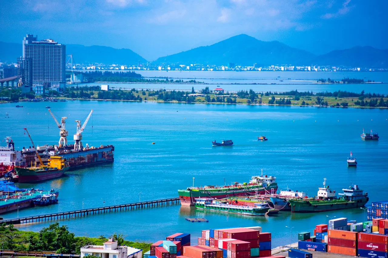
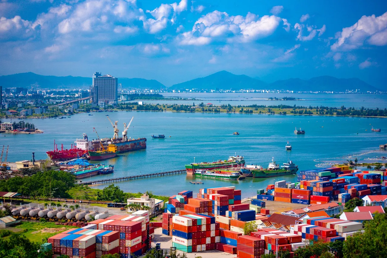
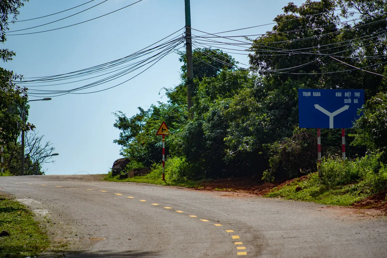
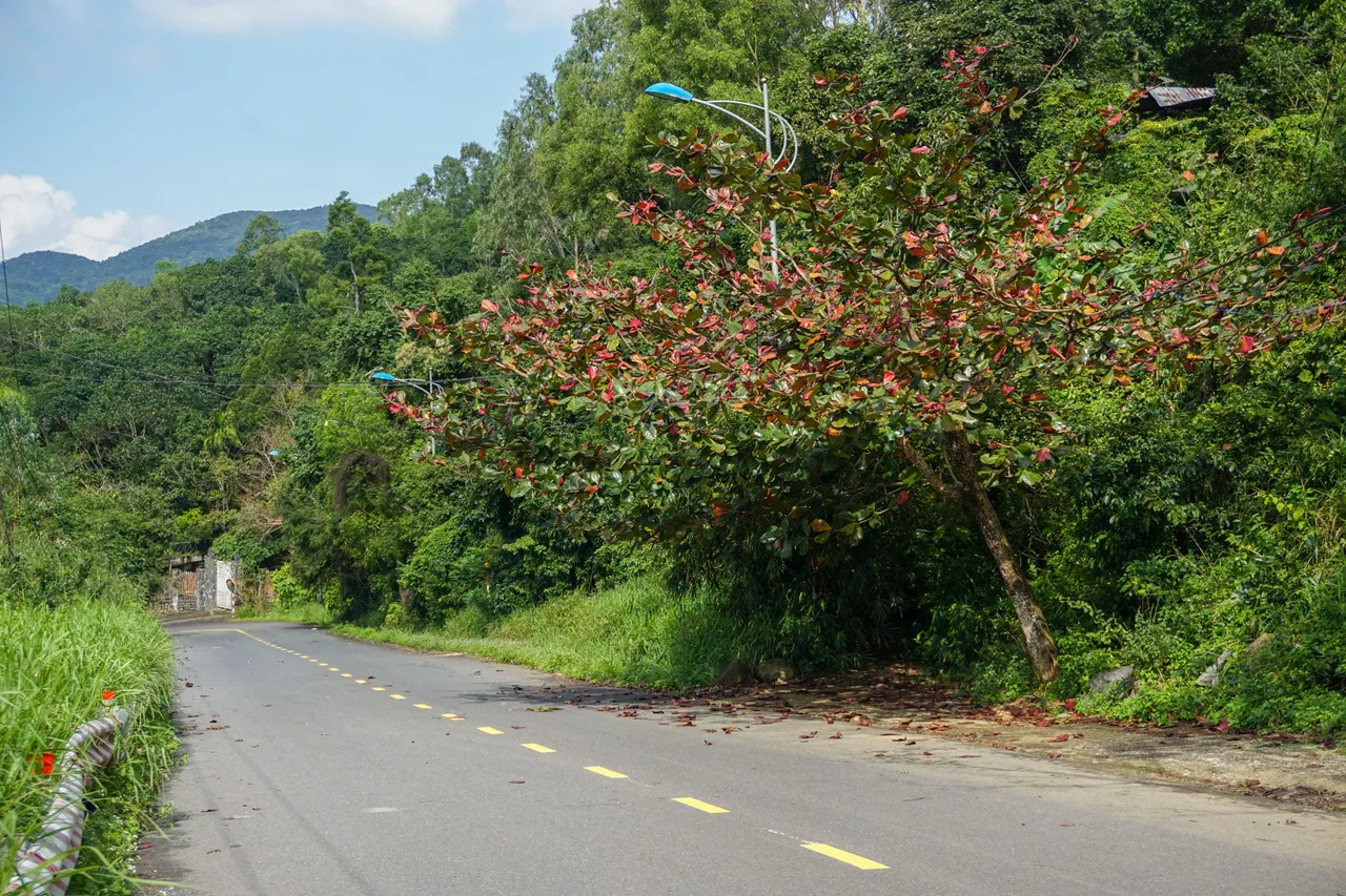
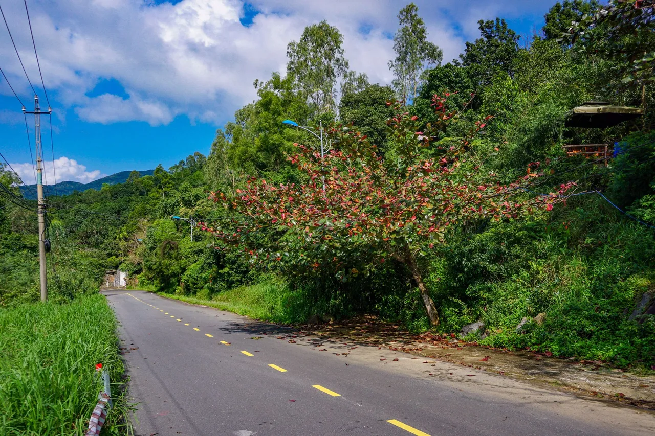
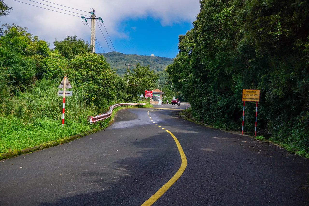
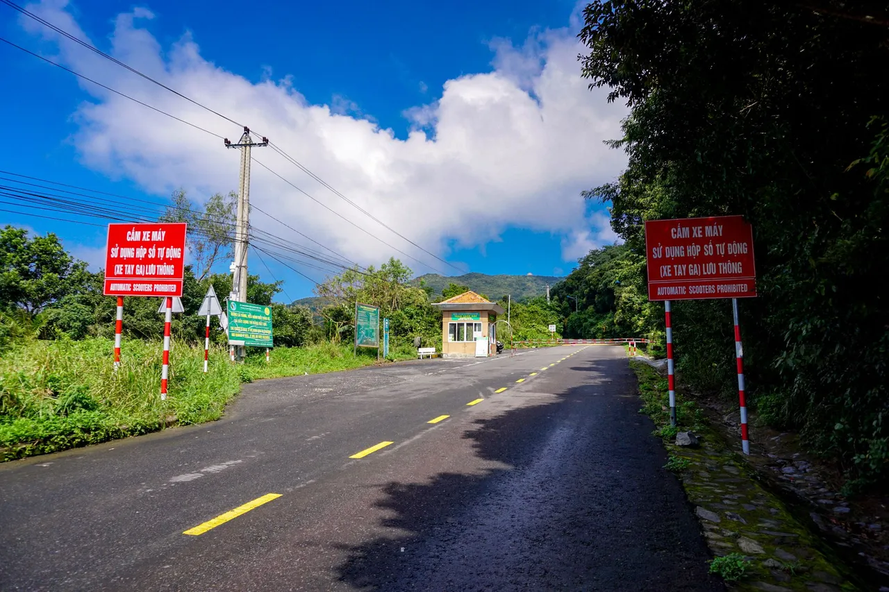
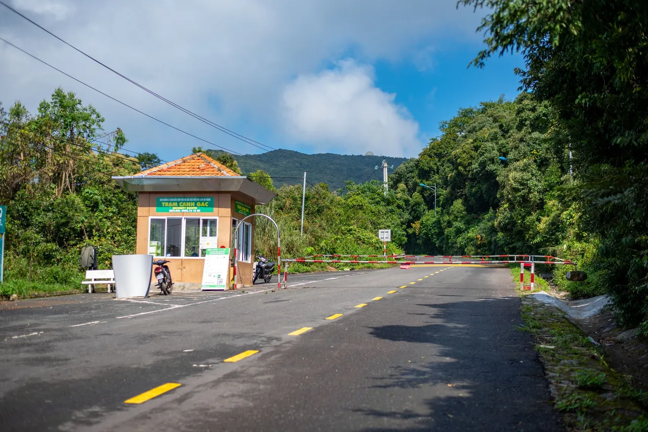
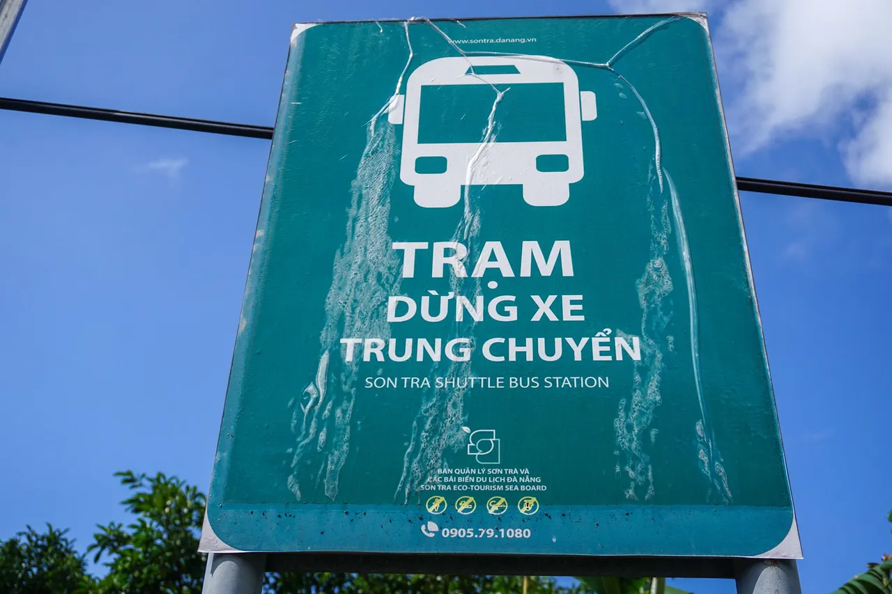
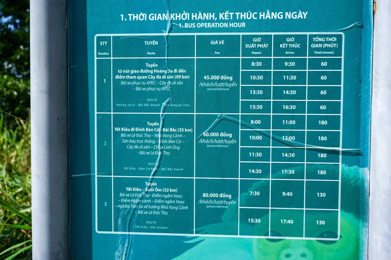
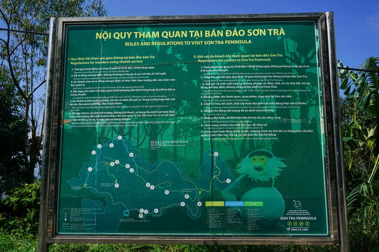
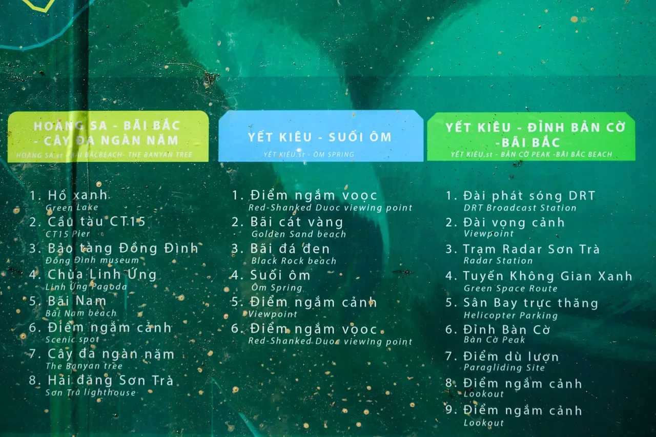
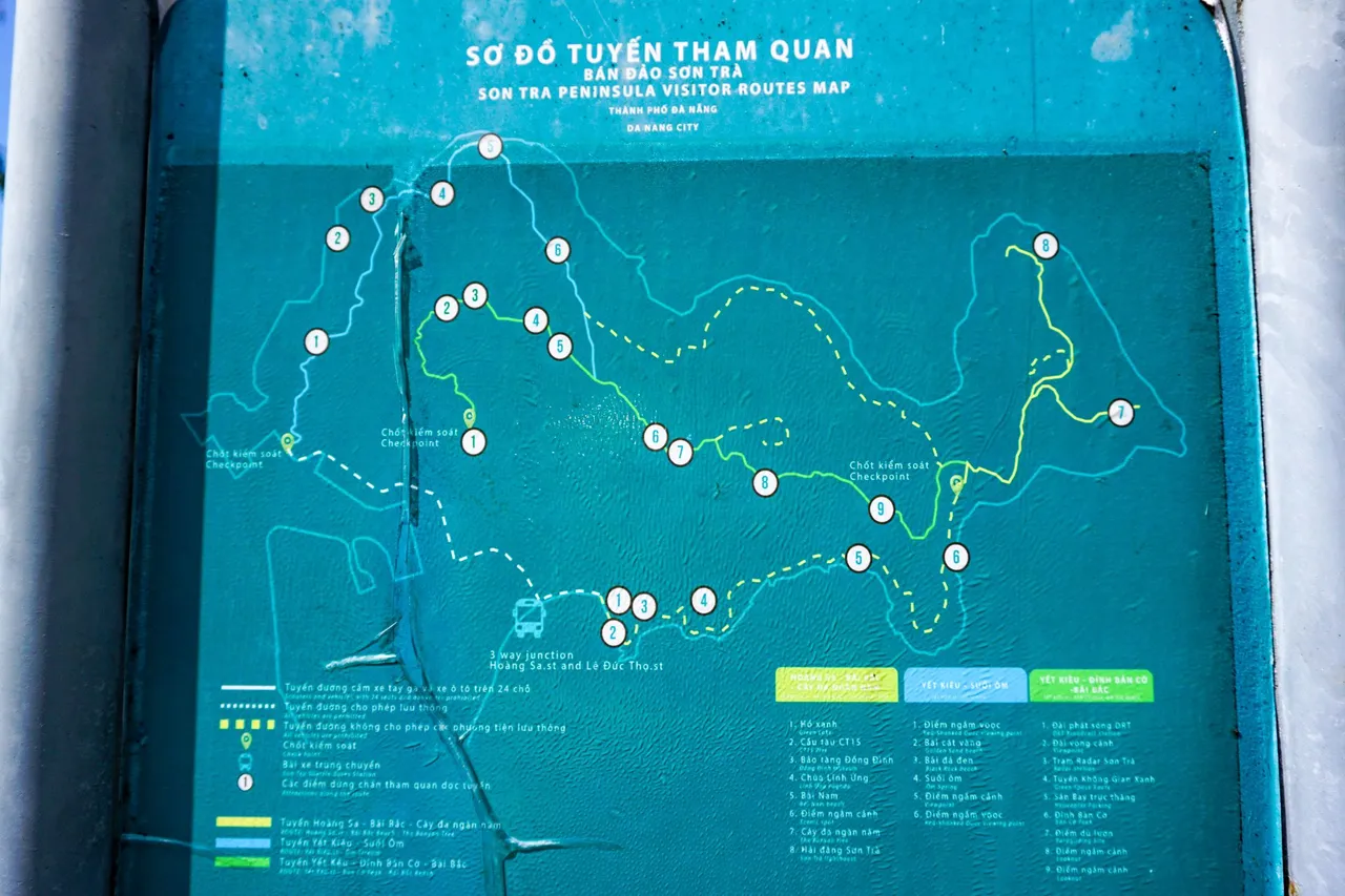
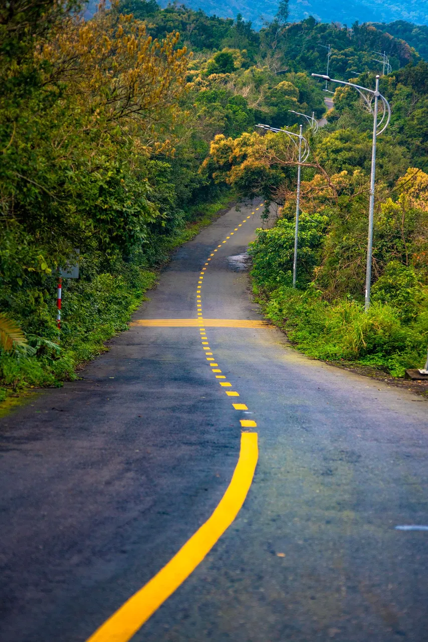
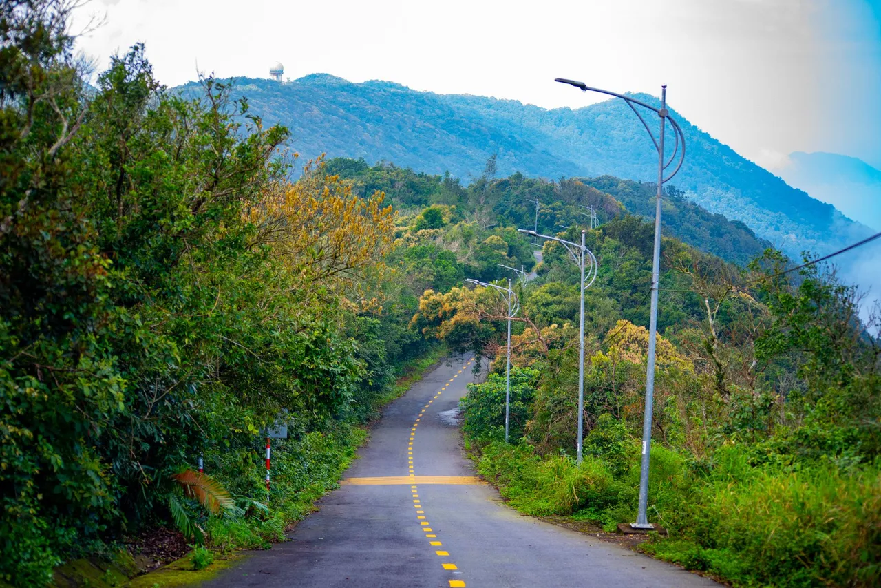
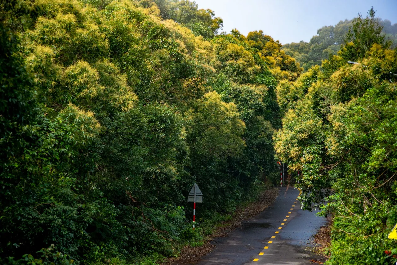
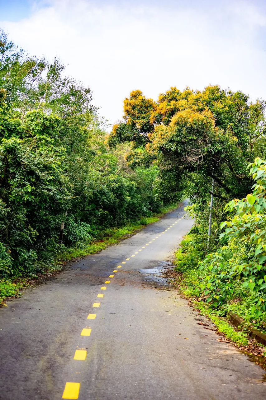
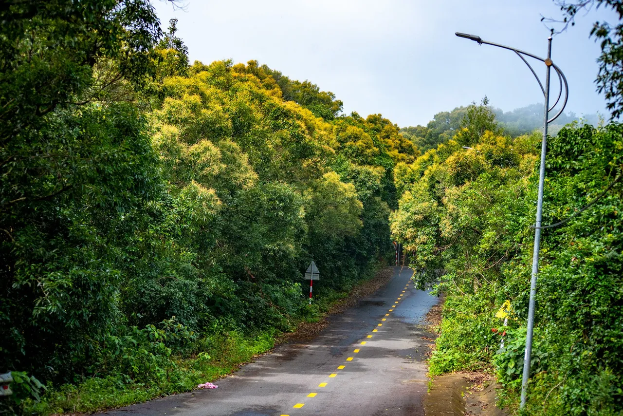
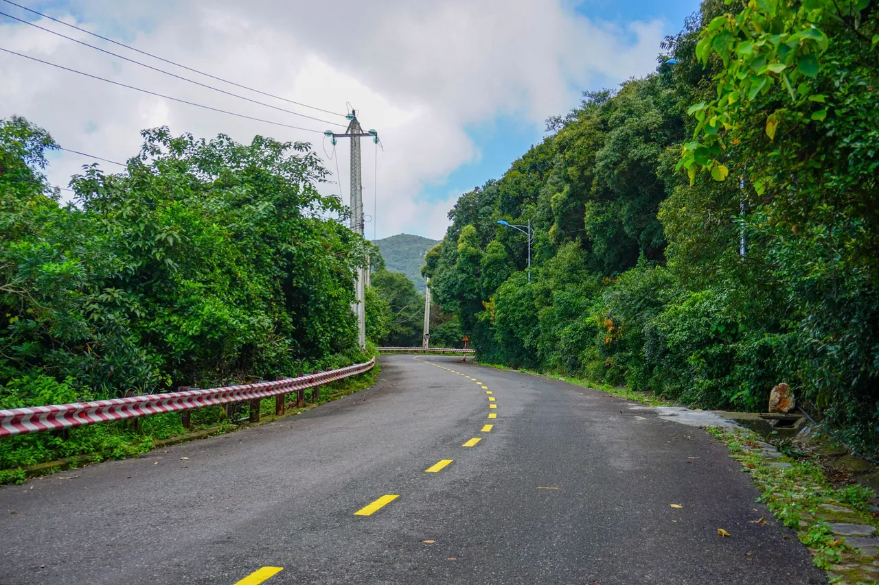
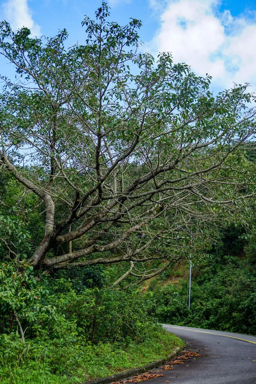
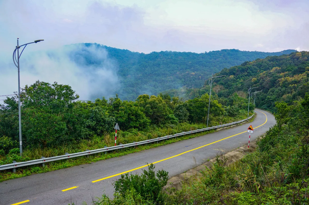
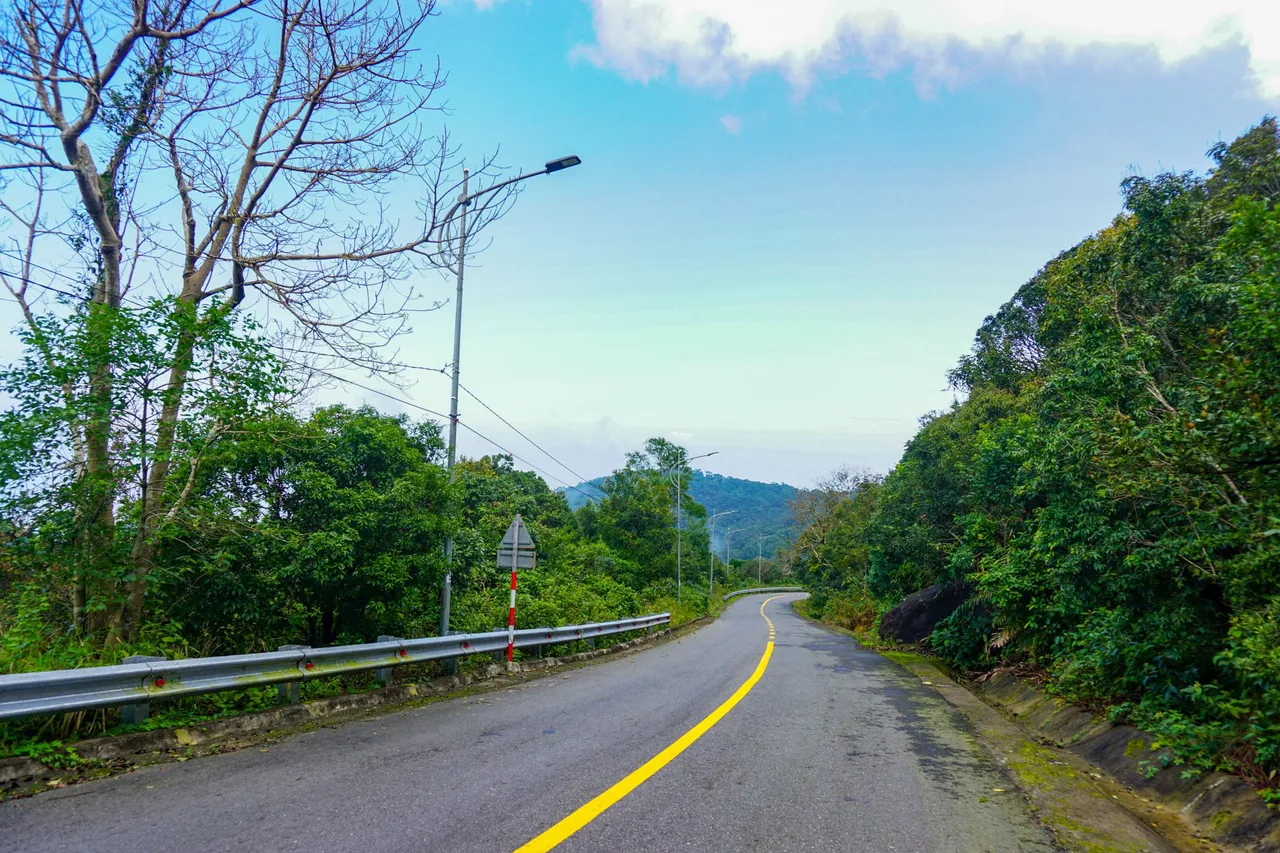
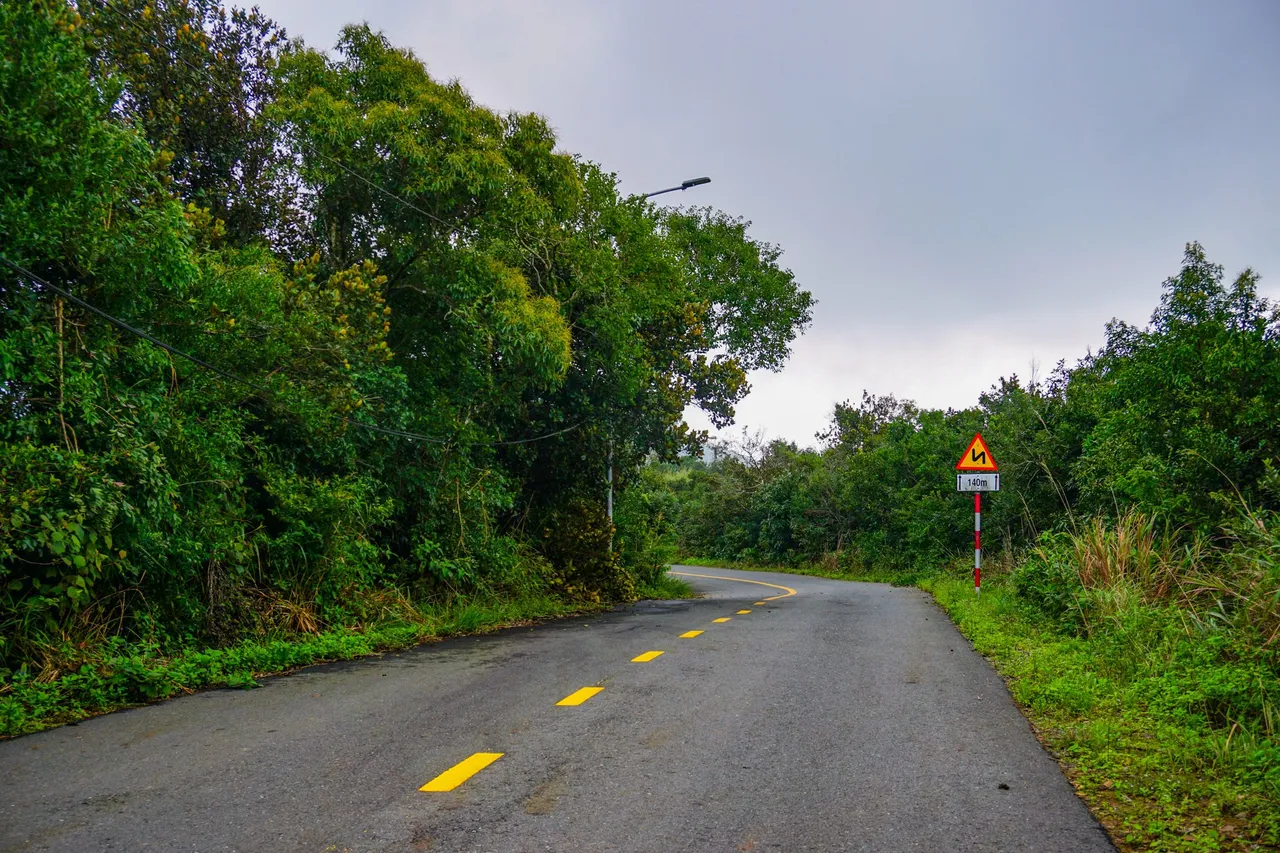
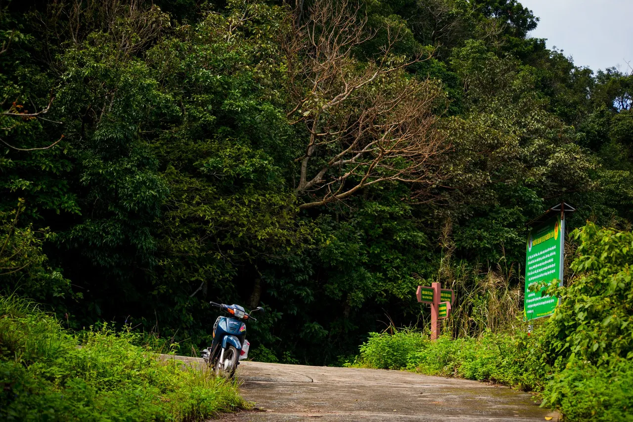
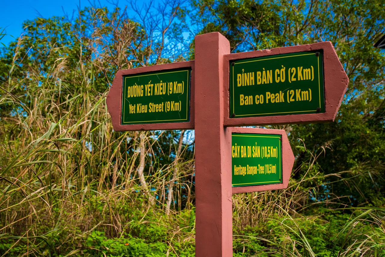
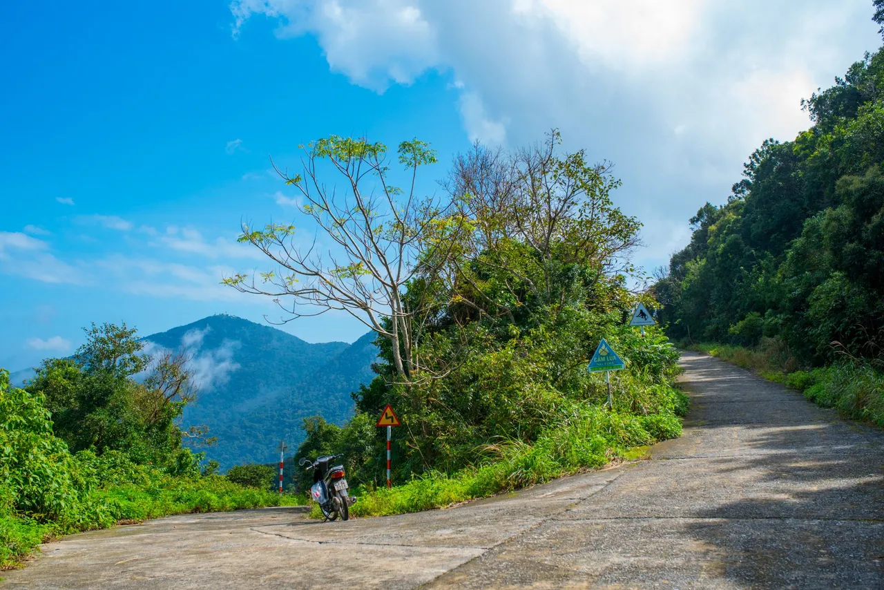
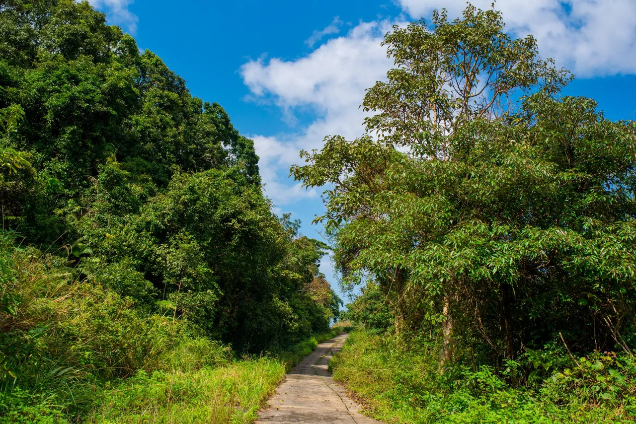
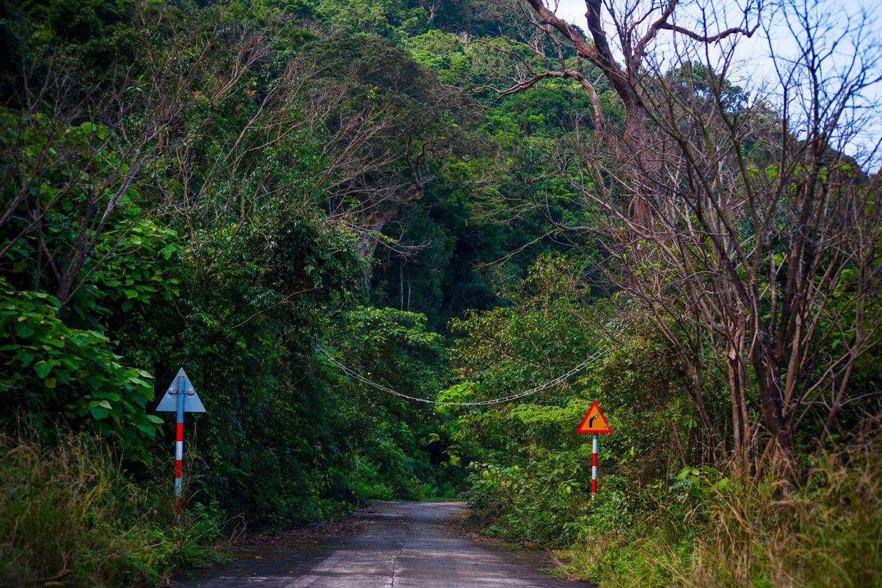
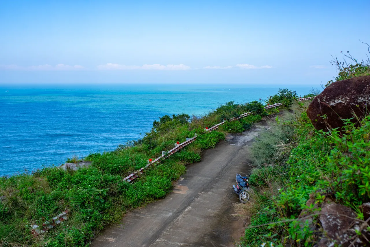
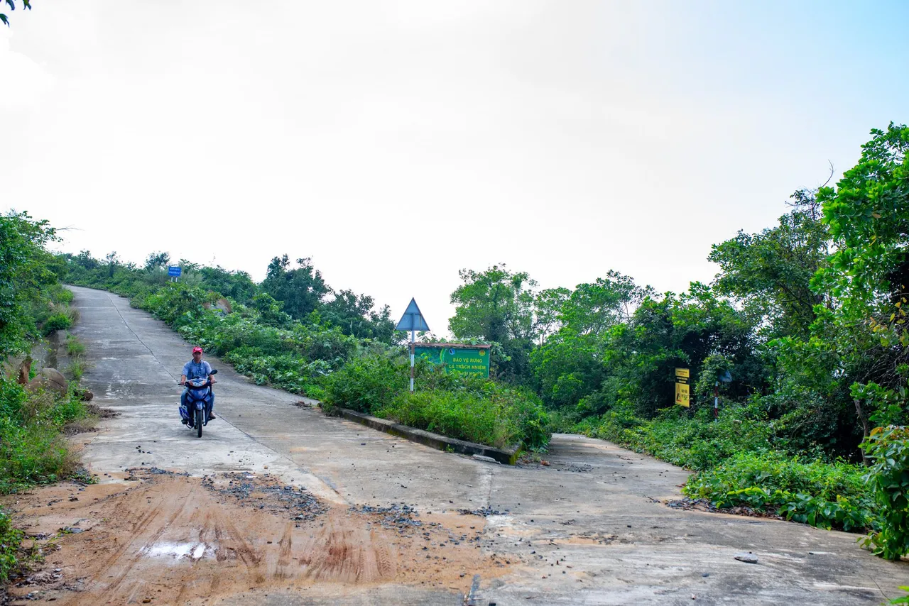
Son Tra peninsula is located about 10km from the center of Da Nang city, from the foot of the peninsula there will be two directions to reach the top of Son Tra mountain, the first road is Hoang Sa road, the second road will be the road. Yet Kieu. If going from the foot of the mountain to the top of the mountain. The best way is to go by Yet Kieu road, this road will have a more moderate slope than Hoang Sa road. To explore Son Tra, there is no better vehicle than a motorbike. These roads have a rather steep slope, so only motorbikes can enter the unspoiled places. Experience ice motorbikes along winding roads. Surrounded by the mountainous natural landscape, the poetic sea of Son Tra mountain is an interesting experience when coming to the coastal city of Da Nang. To reach the top of Son Tra mountain, you will follow the road to Tien Sa port, this road has a lot of heavy cargo, if you go by motorbike you have to go very carefully, these container trucks are always the cars most likely to cause accidents on Yet Kieu road. Before going to the Son Tra peninsula, I pinned the map of this journey. I will mark a letter for each location. The one-way section around Son Tra is 22km. Point A is the starting point, E is the endpoint. As for the rest of the spots, this is where I stopped to rest and take photos. From the foot of Son Tra mountain at Yet Kieu street, there will be a road leading to the mountain. In front of the road to Son Tra mountain, will be the barracks of the Vietnamese navy army, this is the navy of region 4 of the Son Tra peninsula. At the foot of Son Tra mountain, there will be many restaurants, many Vietnamese specialties are sold here, on the journey to explore and on the way back, if you have time, you should enjoy the dishes at Here, there are many delicious dishes for you to enjoy. Going a little further, you will see the bay of Tien Sa port in Da Nang, this is the naval base of the Vietnamese army, this is the force that protects the waters of Da Nang city. This stretch of road has a lot of steep slopes, so you have to pay close attention to this part. The road to the top of the mountain will have a vehicle control station, Son Tra peninsula bans motorbikes with automatic transmissions and cars from 24 seats. Many people are forced to turn back when using a motorbike with an automatic transmission but don't worry too much. At Son Tra checkpoints, there will be fixed bus routes, these bus routes will carry tourists to visit the Son Tra peninsula. Each bus route will have a lot of time frames for you to choose from, the fare for each passenger is from 45,000 VND, up to 80,000 VND, depending on you choose your discovery route, I used the bus. a machine so I can freely choose my destination. But in this article, I will follow the 3rd route, of the Son Tra peninsula. This route will have a total journey of 22km, from the foot of the mountain to the endpoint. I have marked each location in turn that I visited on my trip this time.
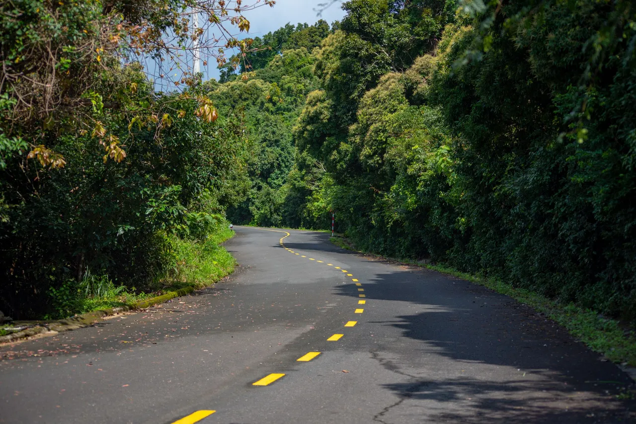
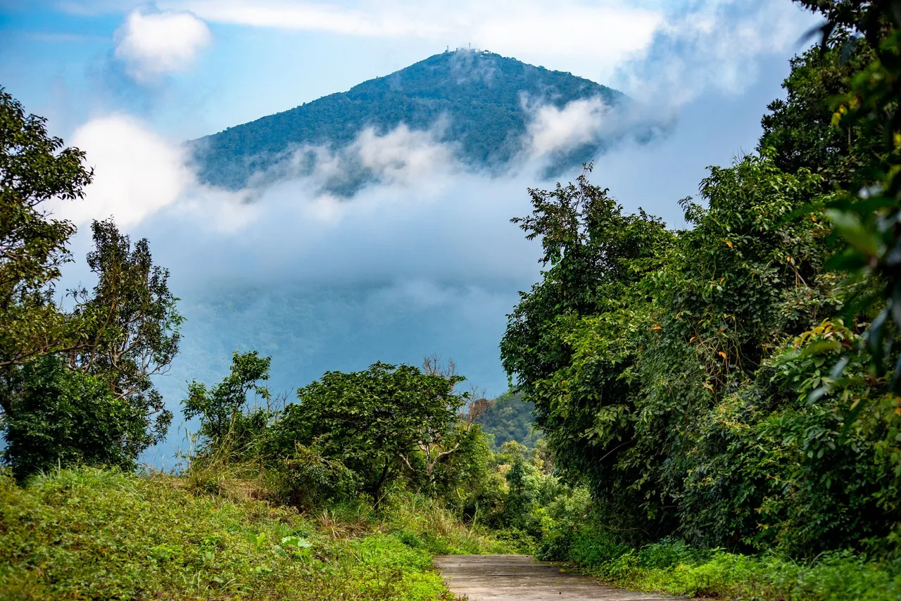
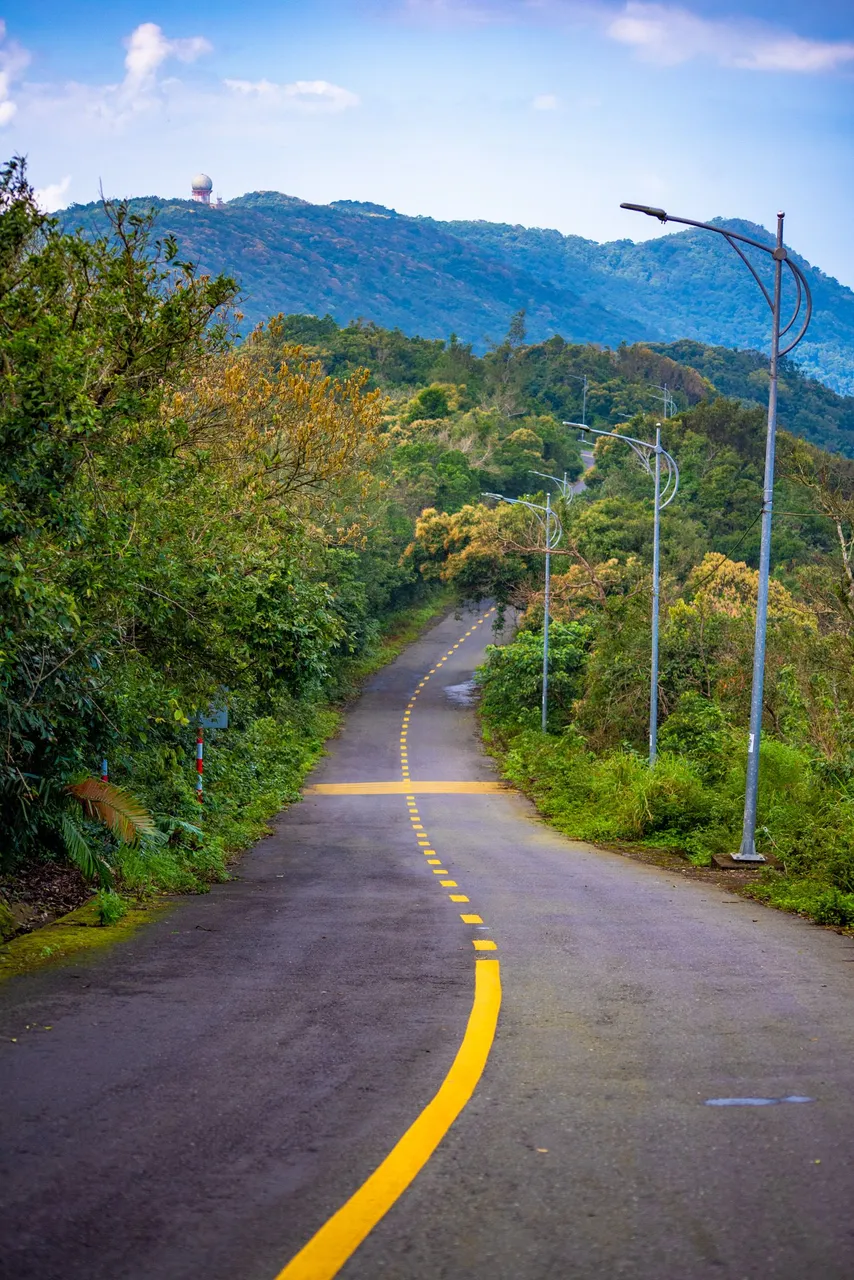
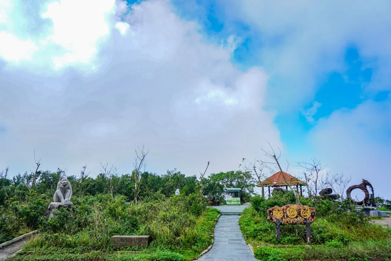
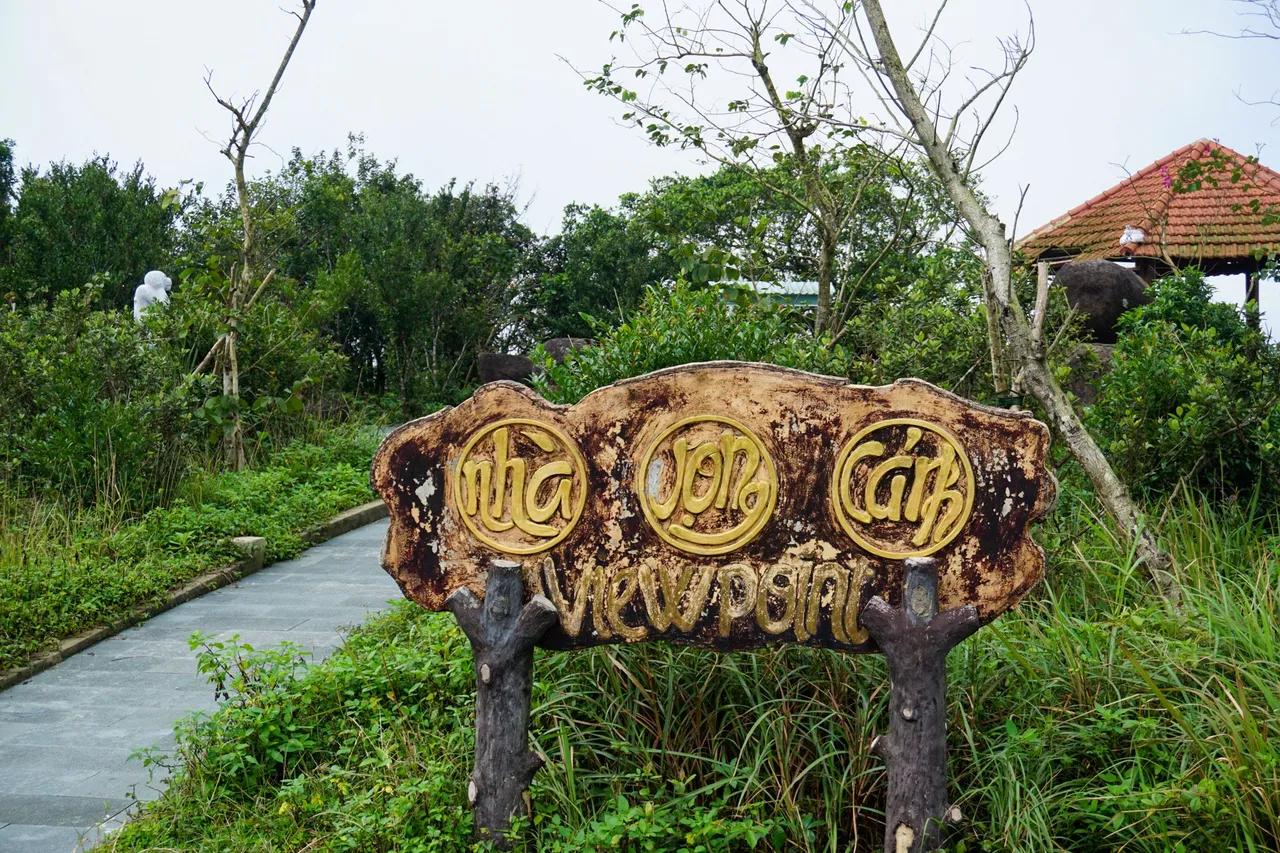
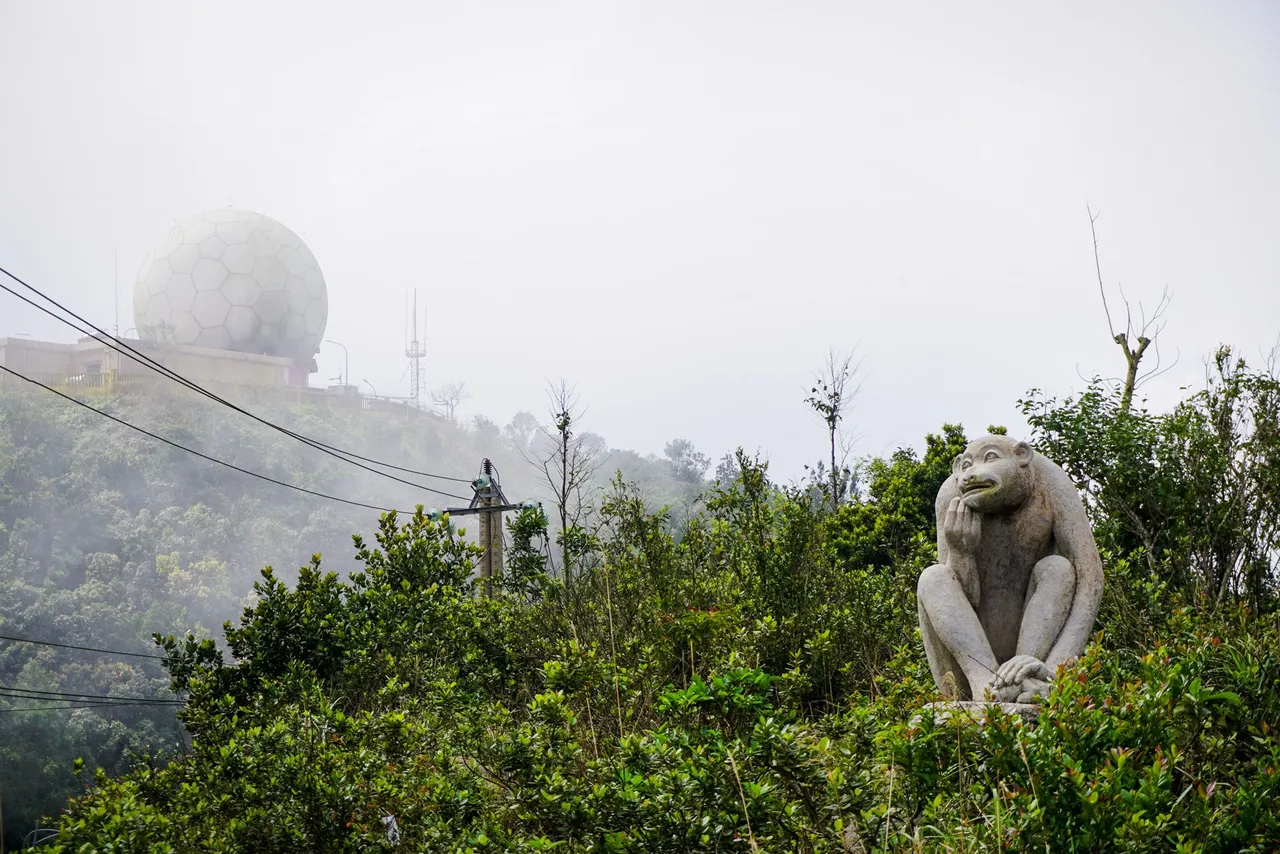
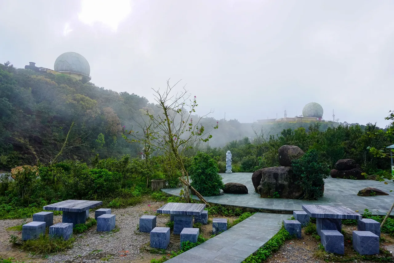
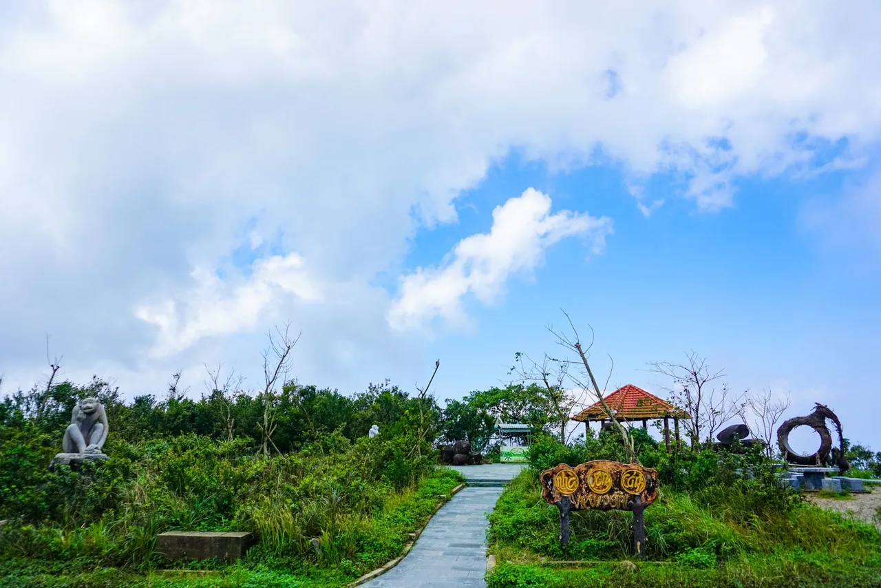
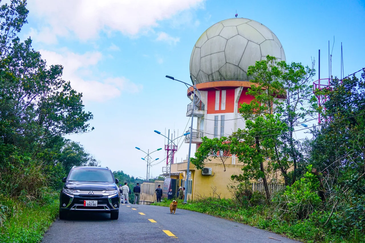
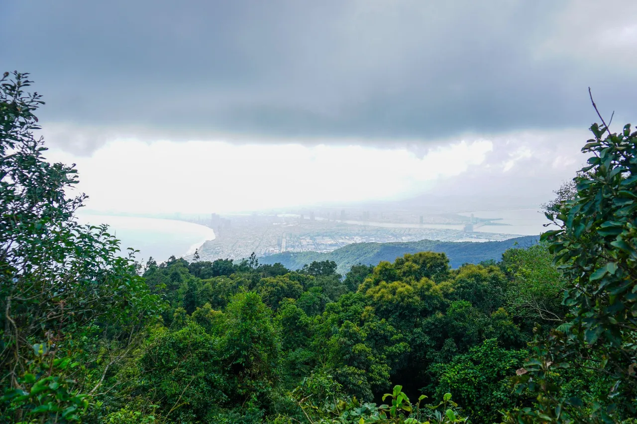
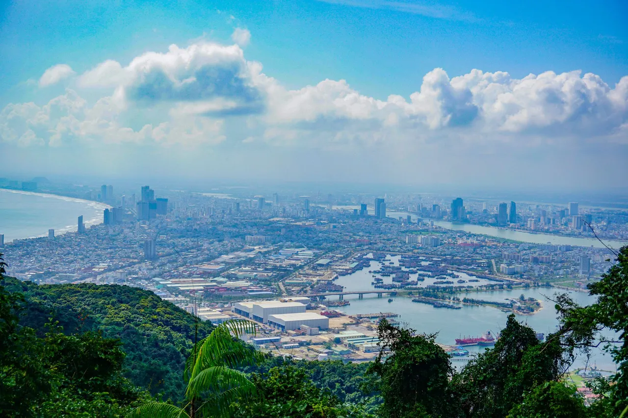
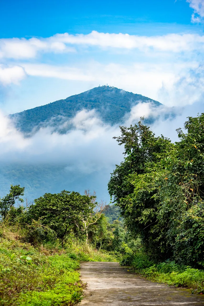
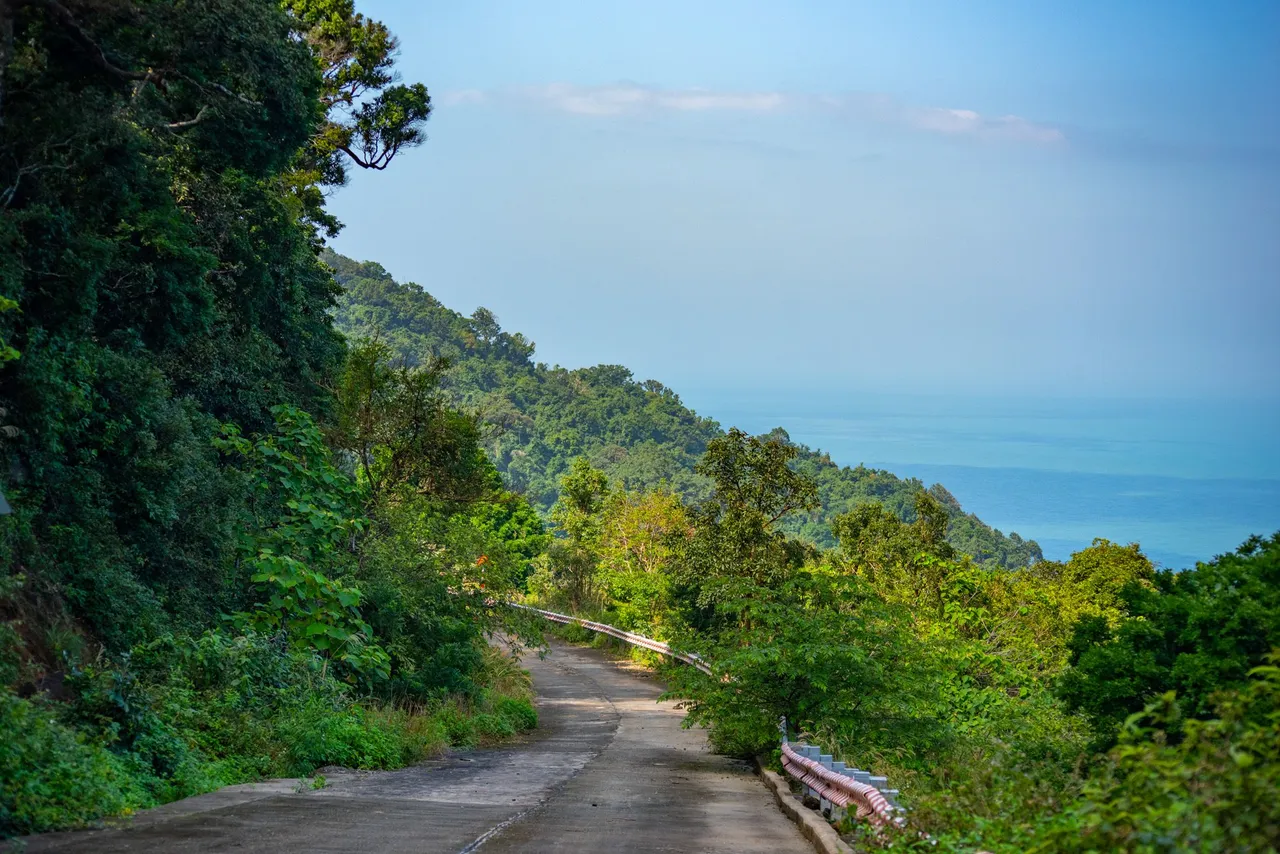
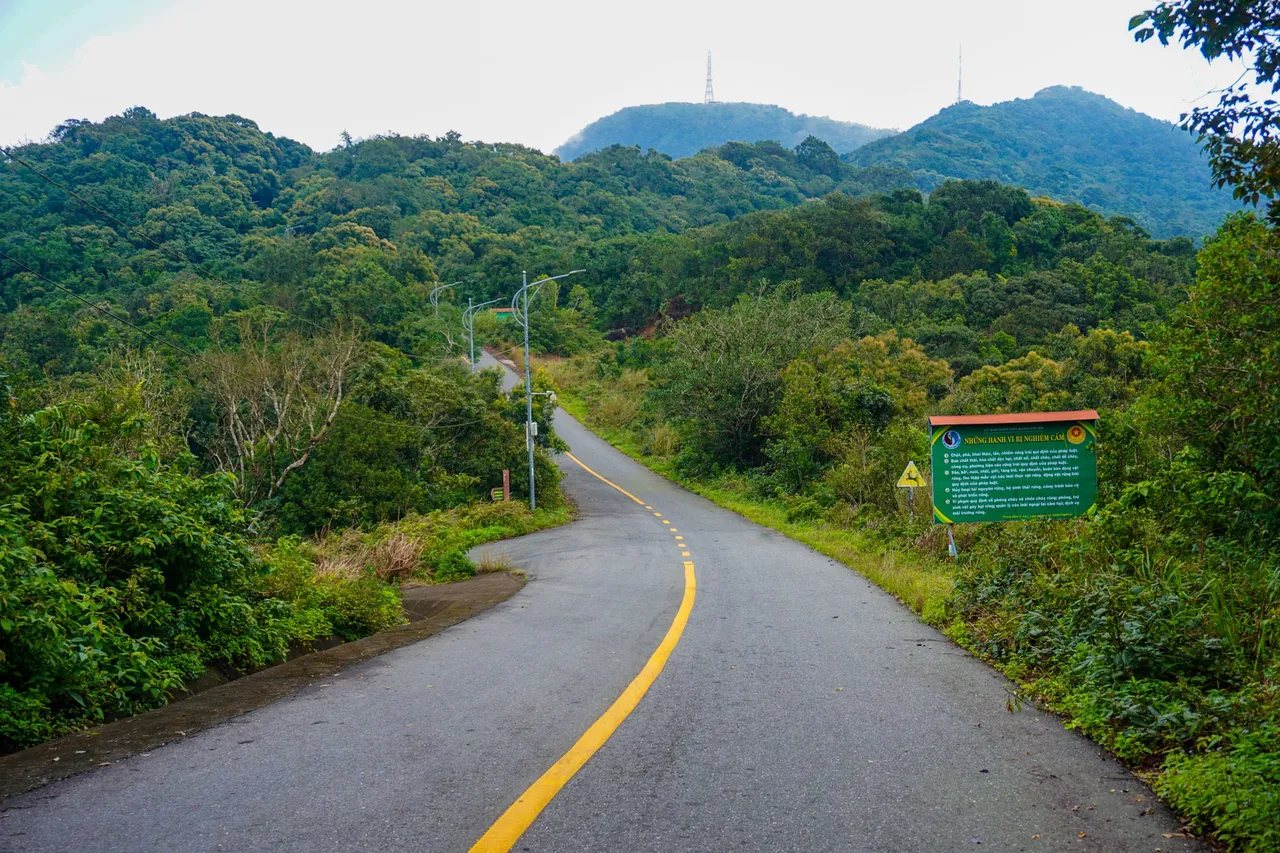
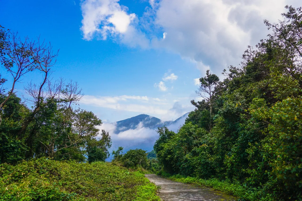
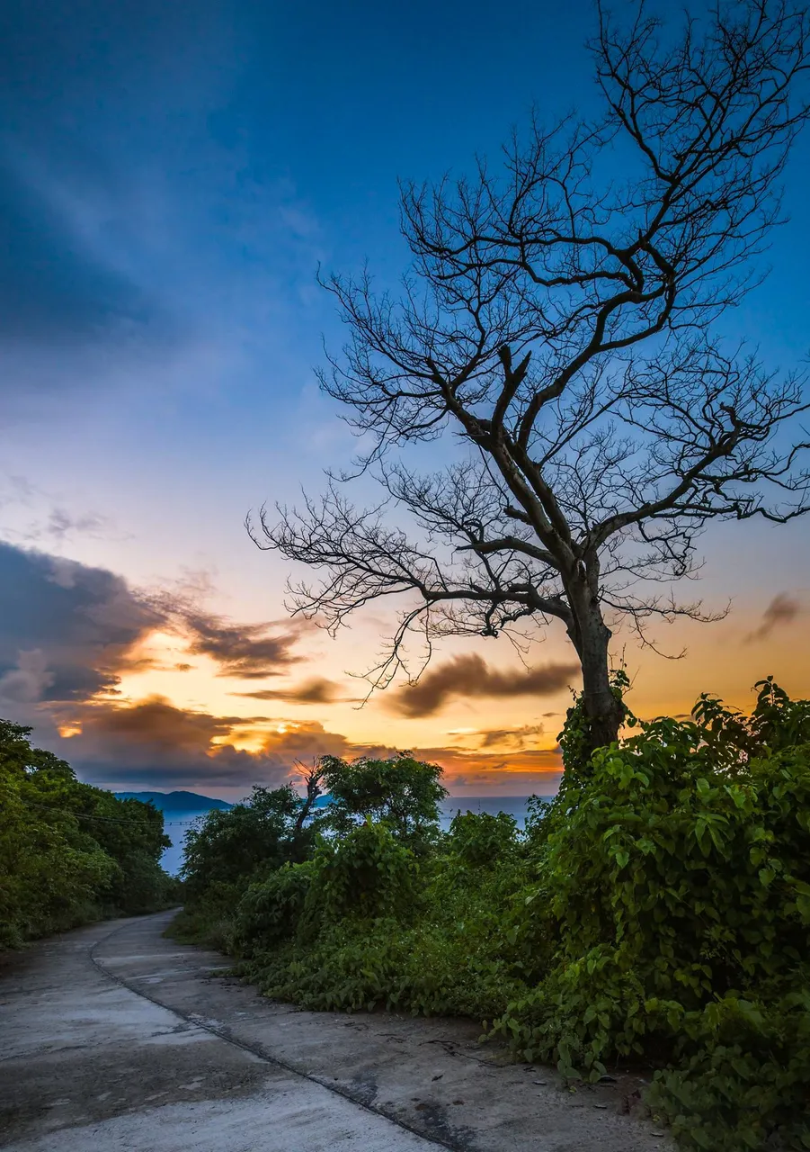
After completing the procedures with the checkpoint, I continued to ride my motorbike to the top of Son Tra mountain. During the trip that day, the weather was quite nice, with light sunshine. The higher you go, the cooler the temperature will be than below. You can see the clouds playing on the roads here, creating a wonderful natural scene, if you are a nature lover, you should experience it once when you come to Da Nang. The roads with the bends of the sleeves, and the steep slopes will make you feel excited when driving by motorbike. This section will have a US-made radar station, including 02 spheres, the outer shell of the sphere is made of composite material, painted white. Locals often call it the white ball. This is the place known as the "eye of Indochina". The Rada station has a wide range of vision, capable of controlling all of Indochina, even as far as Hong Kong and China's Hainan island. If you go further, you will see a building ball with a radar ball, it was built in 1990, this ball was built by the Civil Aviation Authority of Vietnam to manage air traffic for civilian aircraft. use. At this place, there will be a house of hope, for locals and some tourists, you must have heard about Vong Canh's house in Son Tra tours. Vong Canh House, also known as Vong Canh tower, is located at an altitude of 600m, above sea level and is built on a cliff protruding into the sea. So you will have a very good view, from here you can admire the beautiful landscape, in front of which is the image of stone monkeys, one of the symbols of this peninsula.
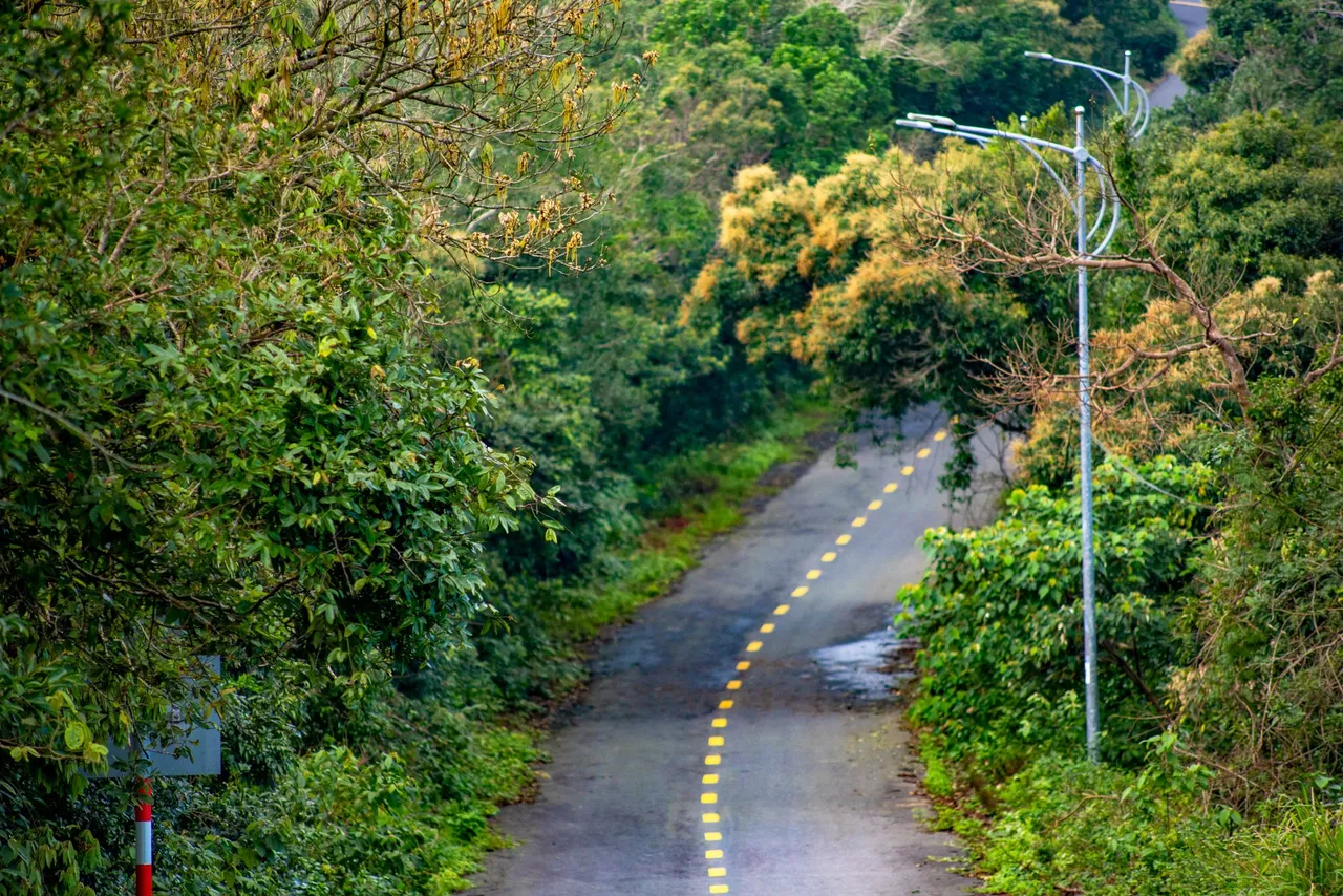
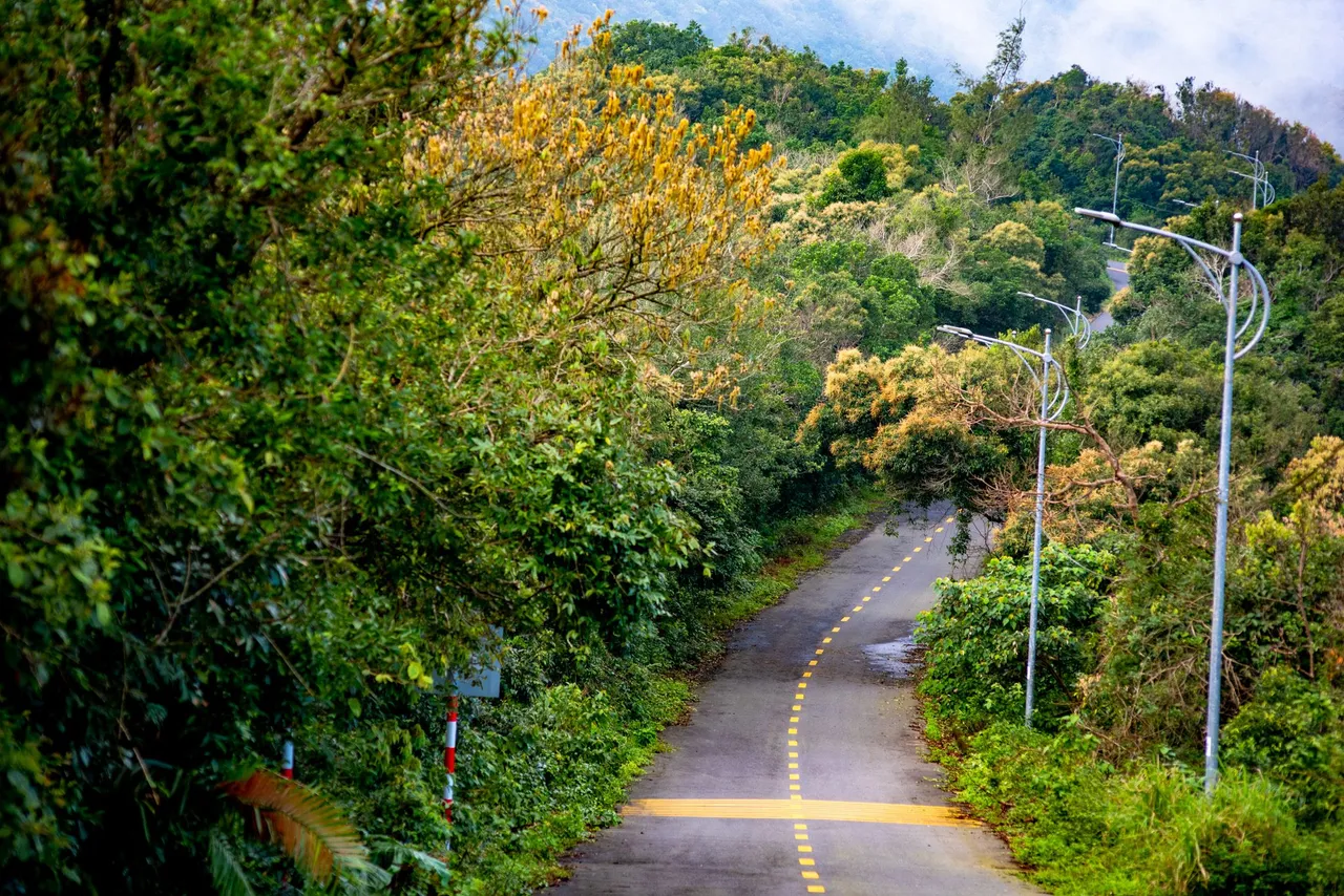
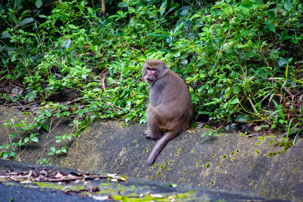
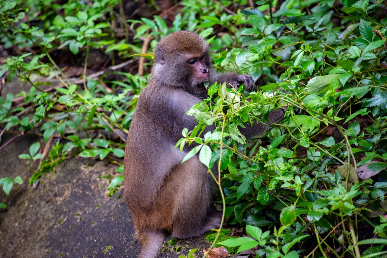
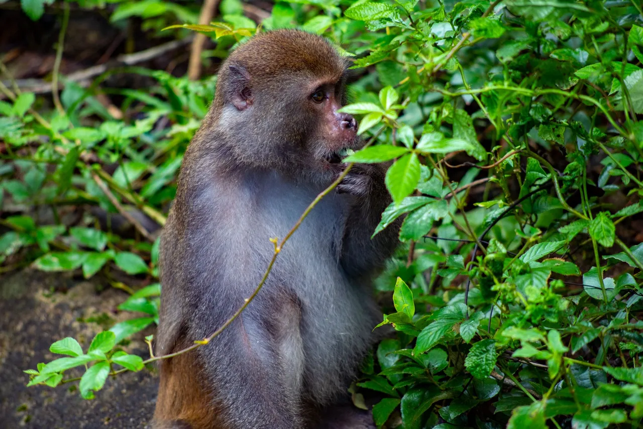
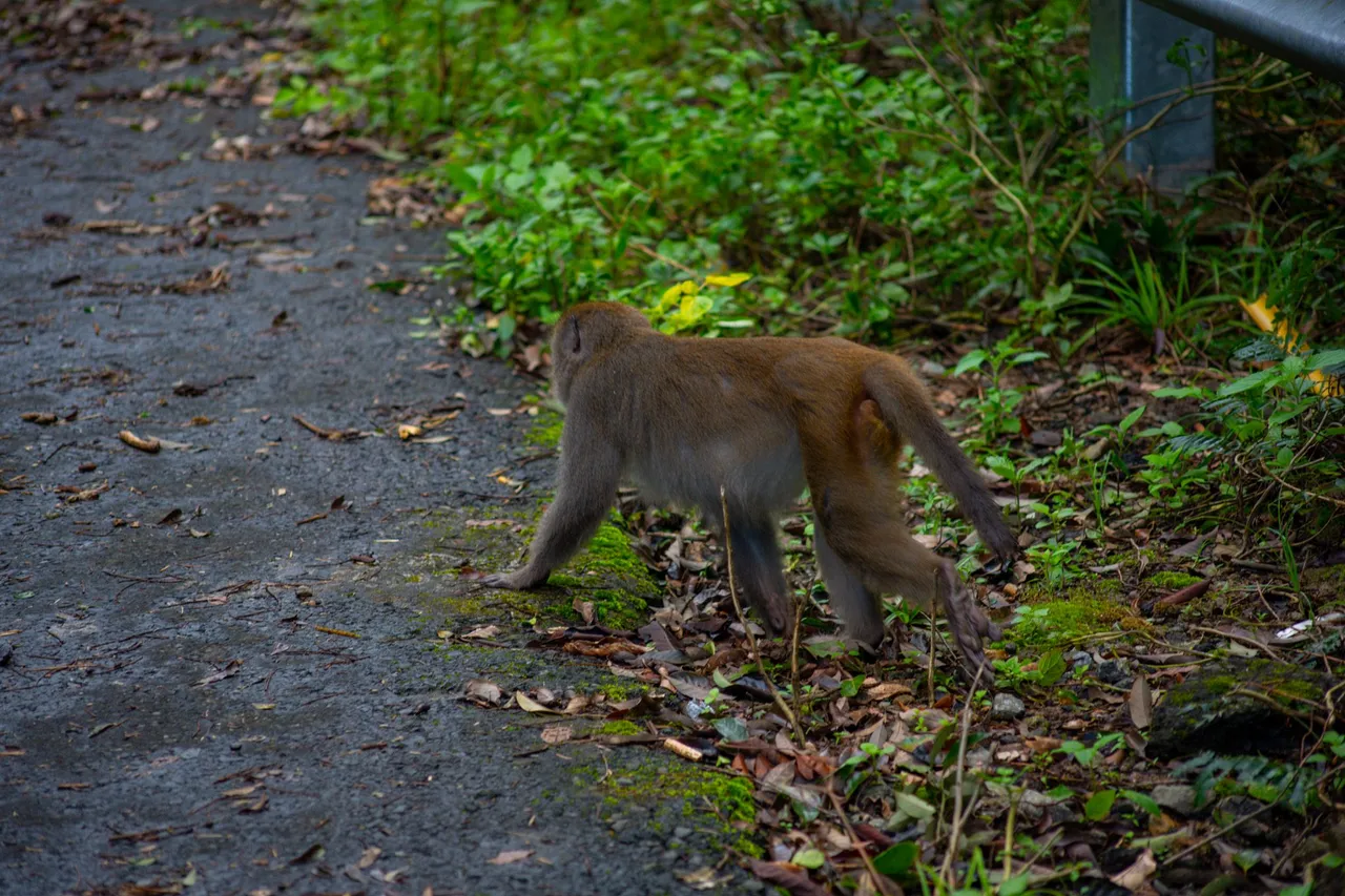
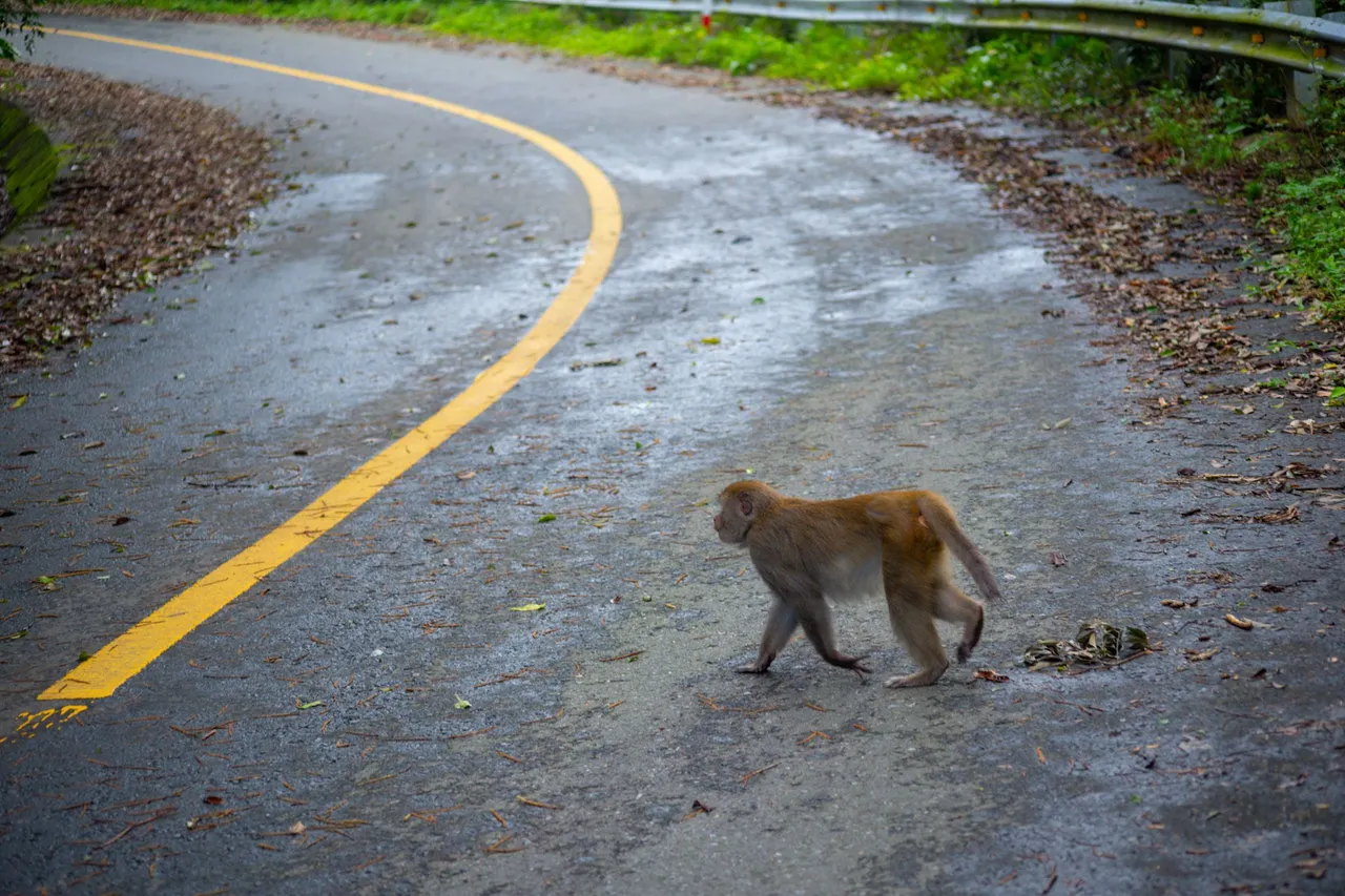
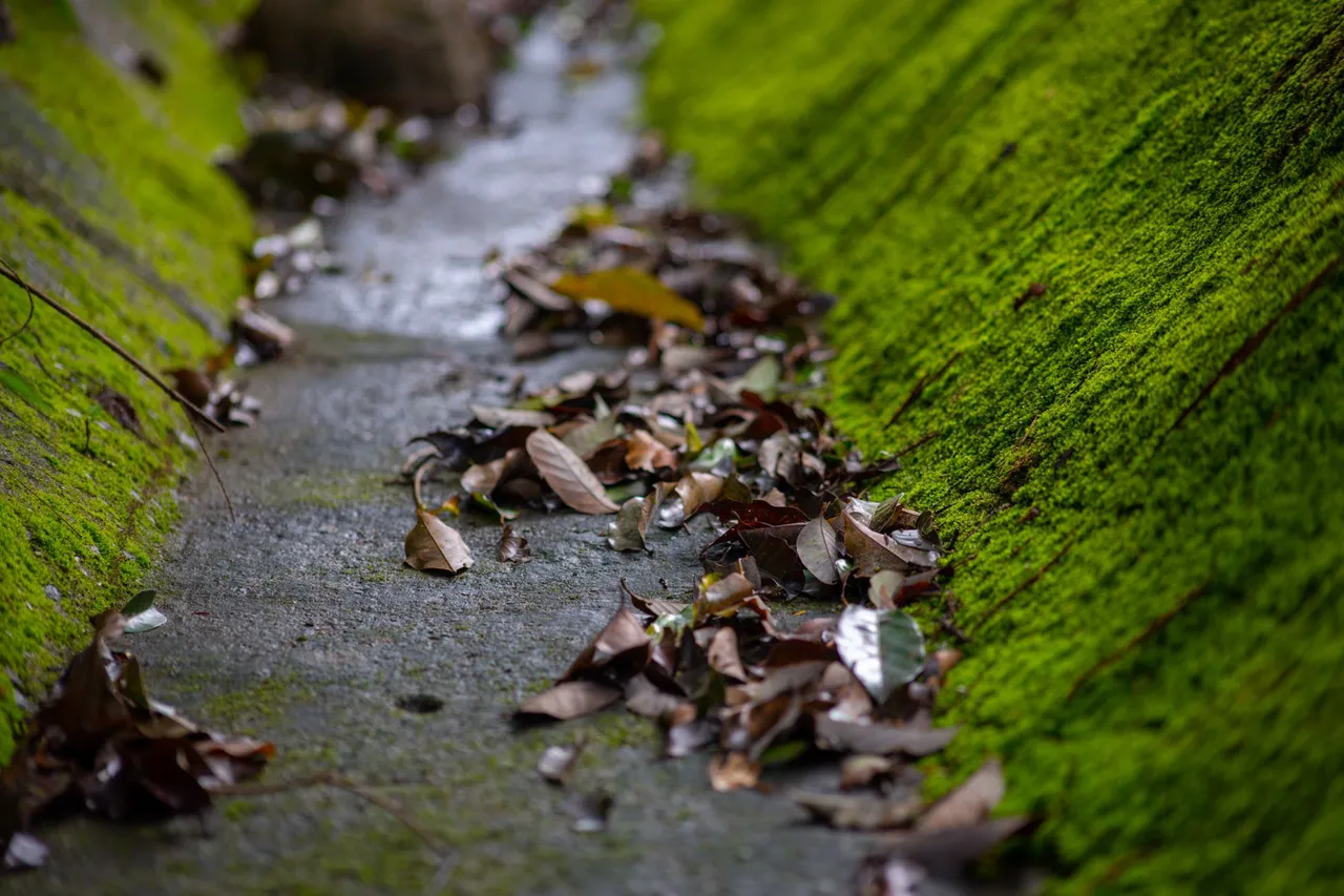
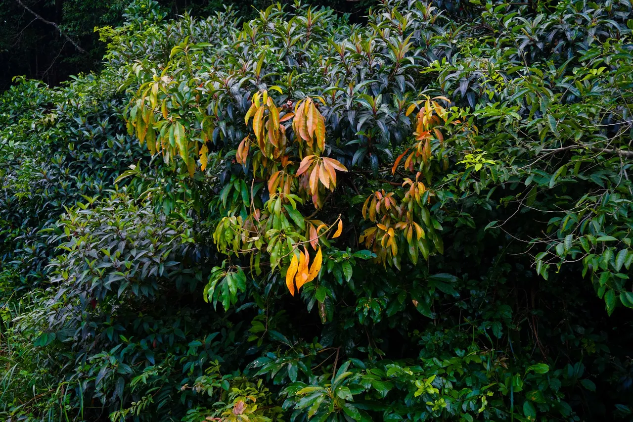
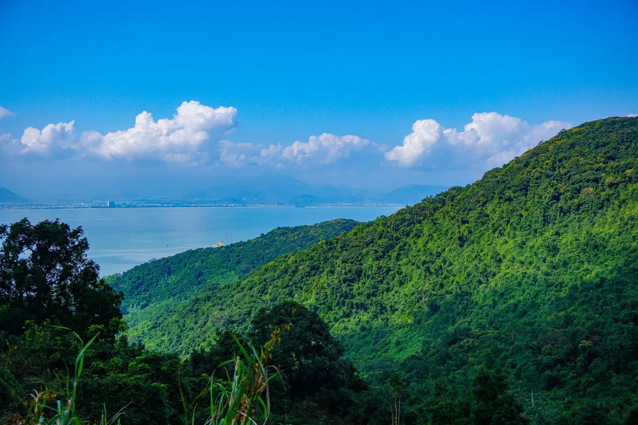
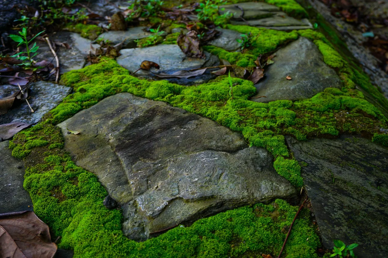
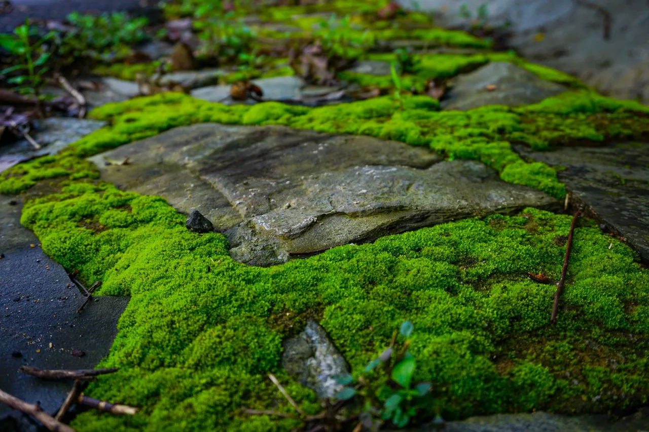
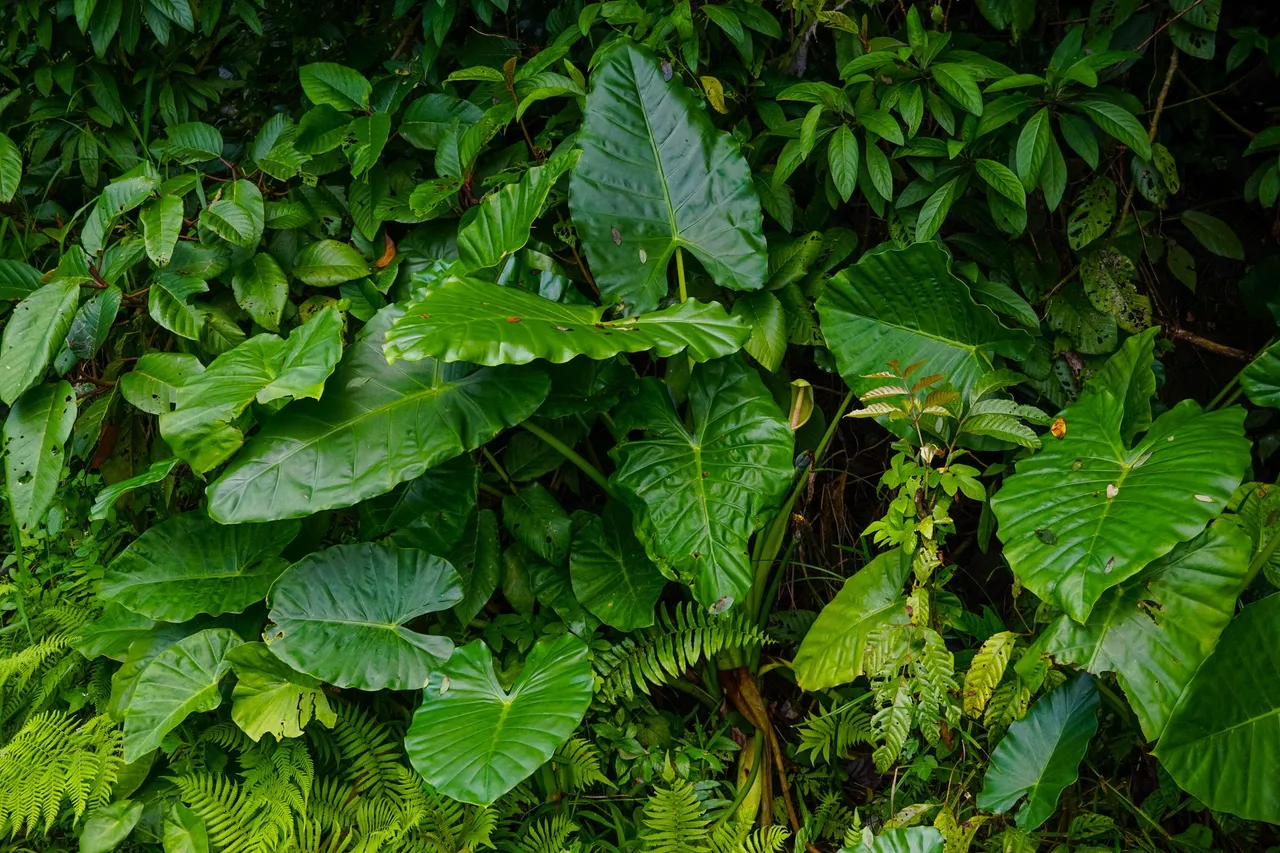
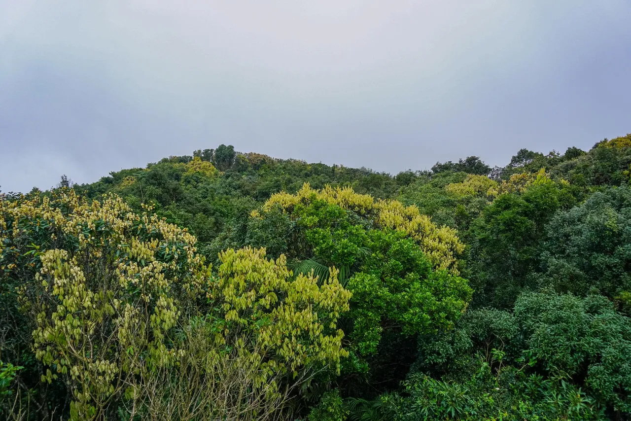
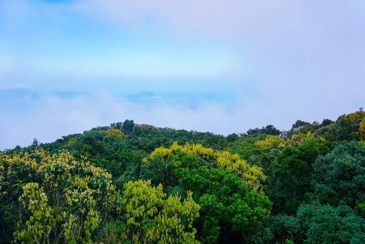
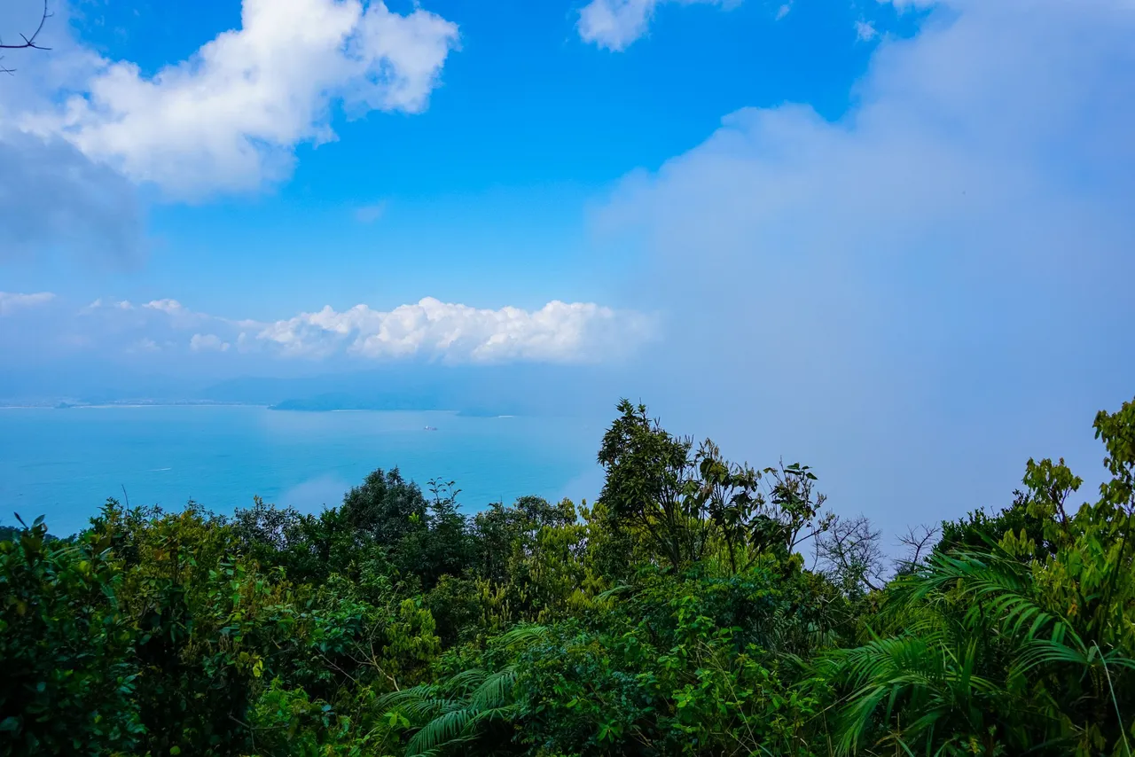
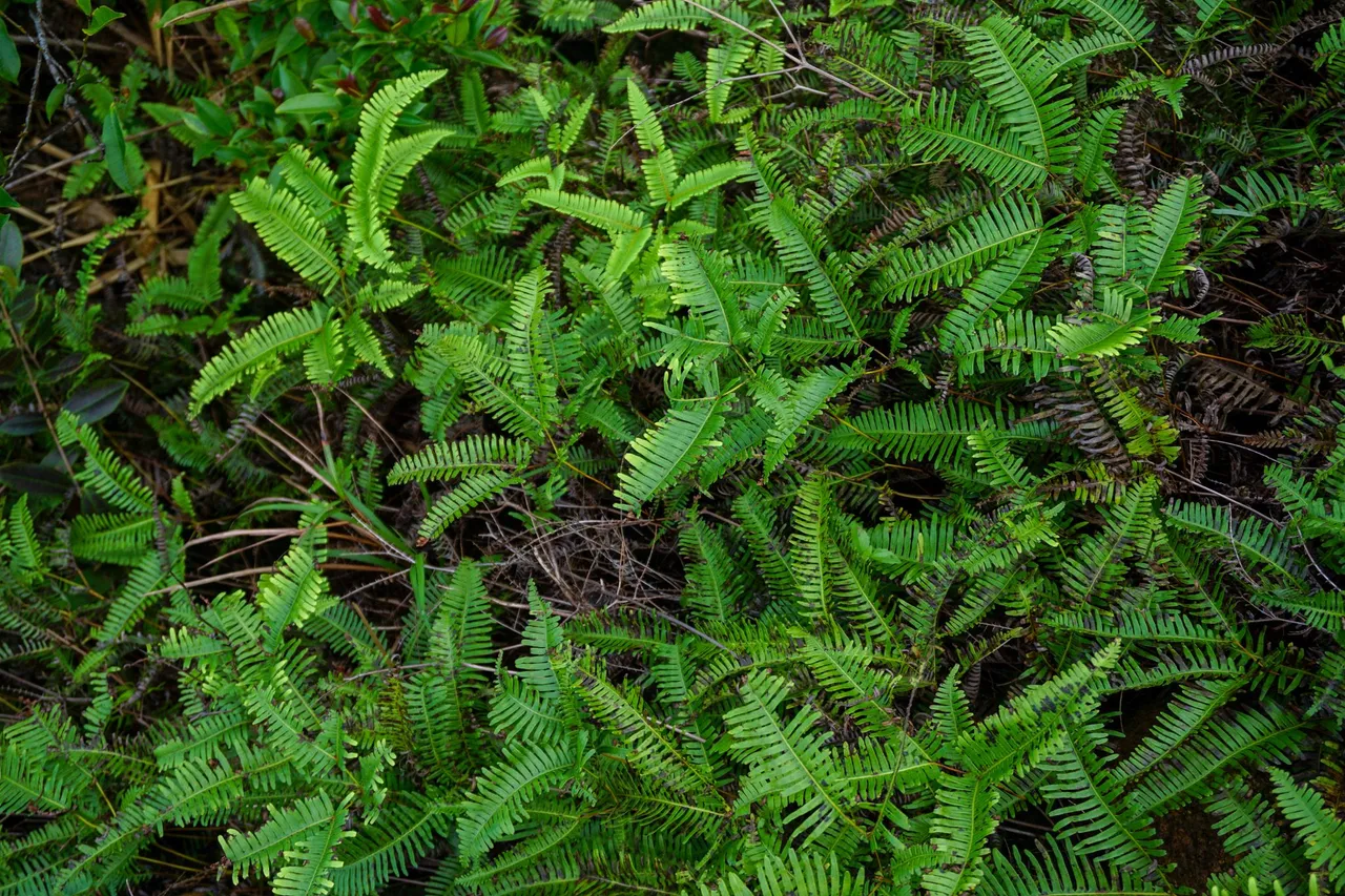
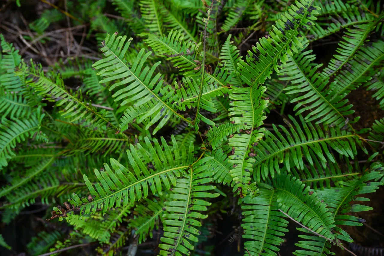
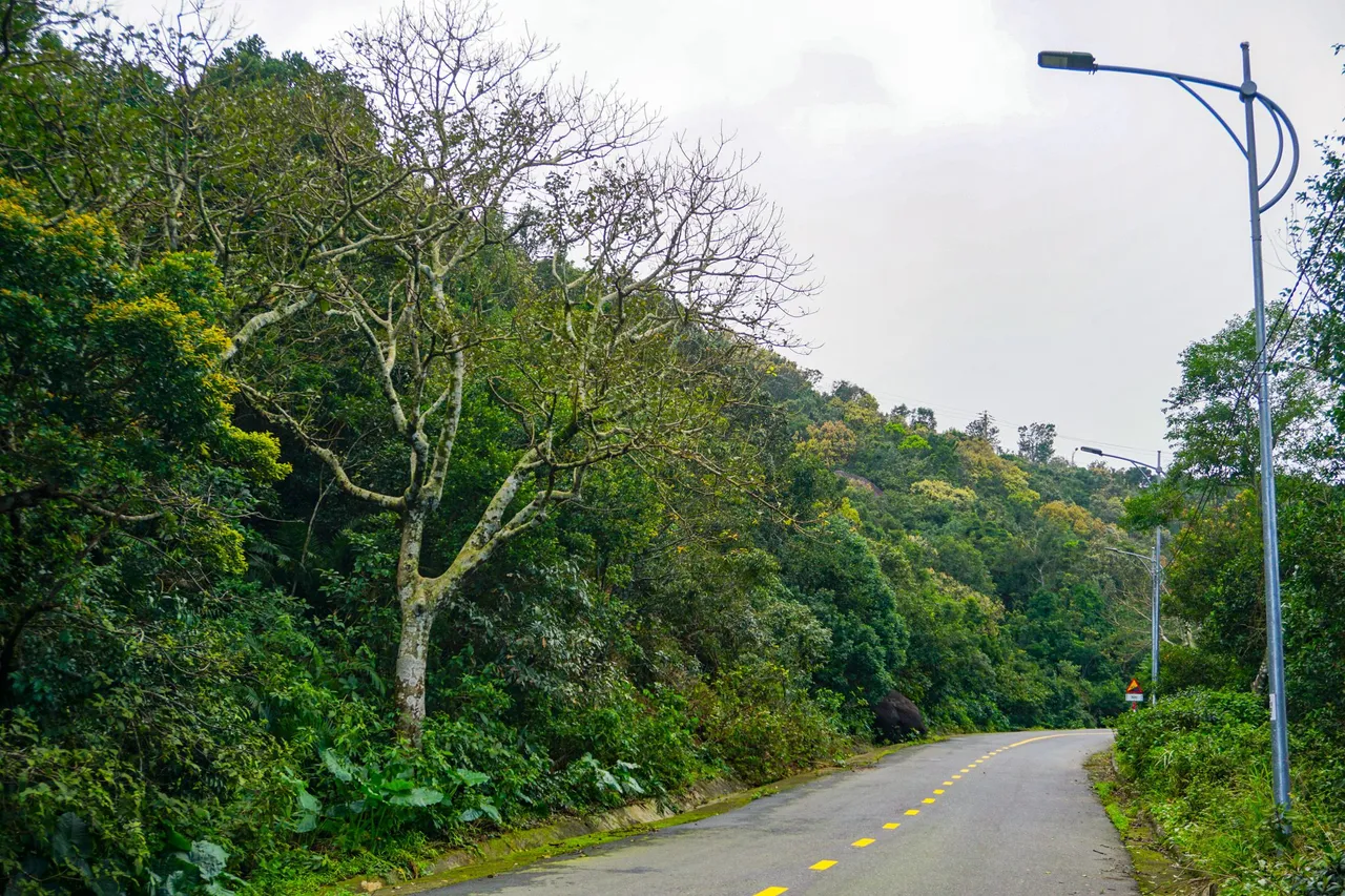
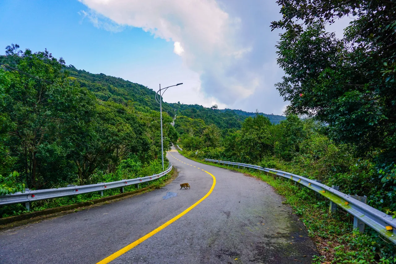
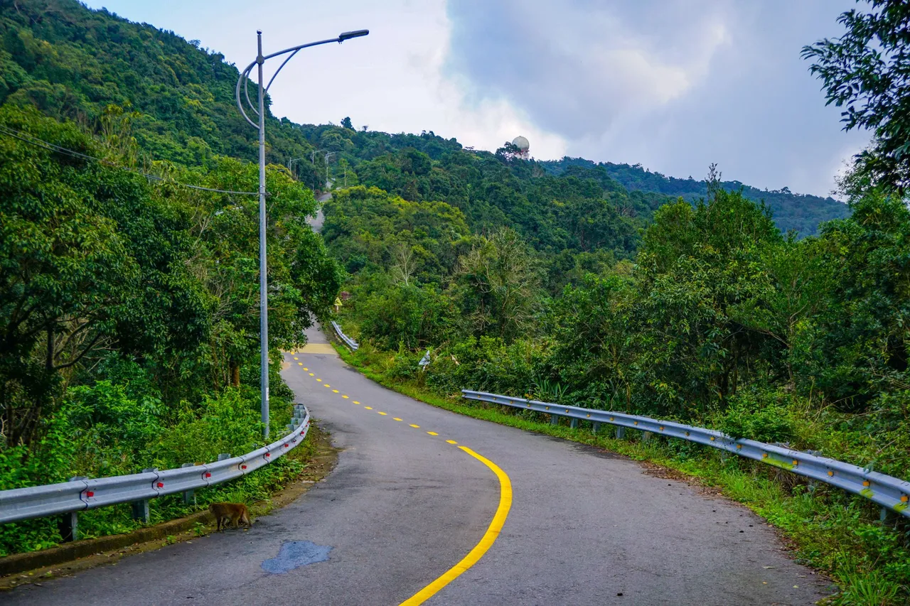
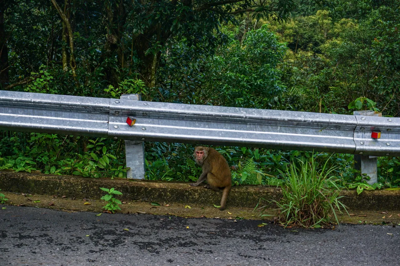
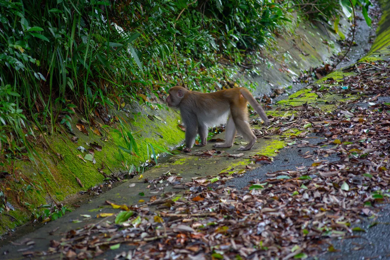
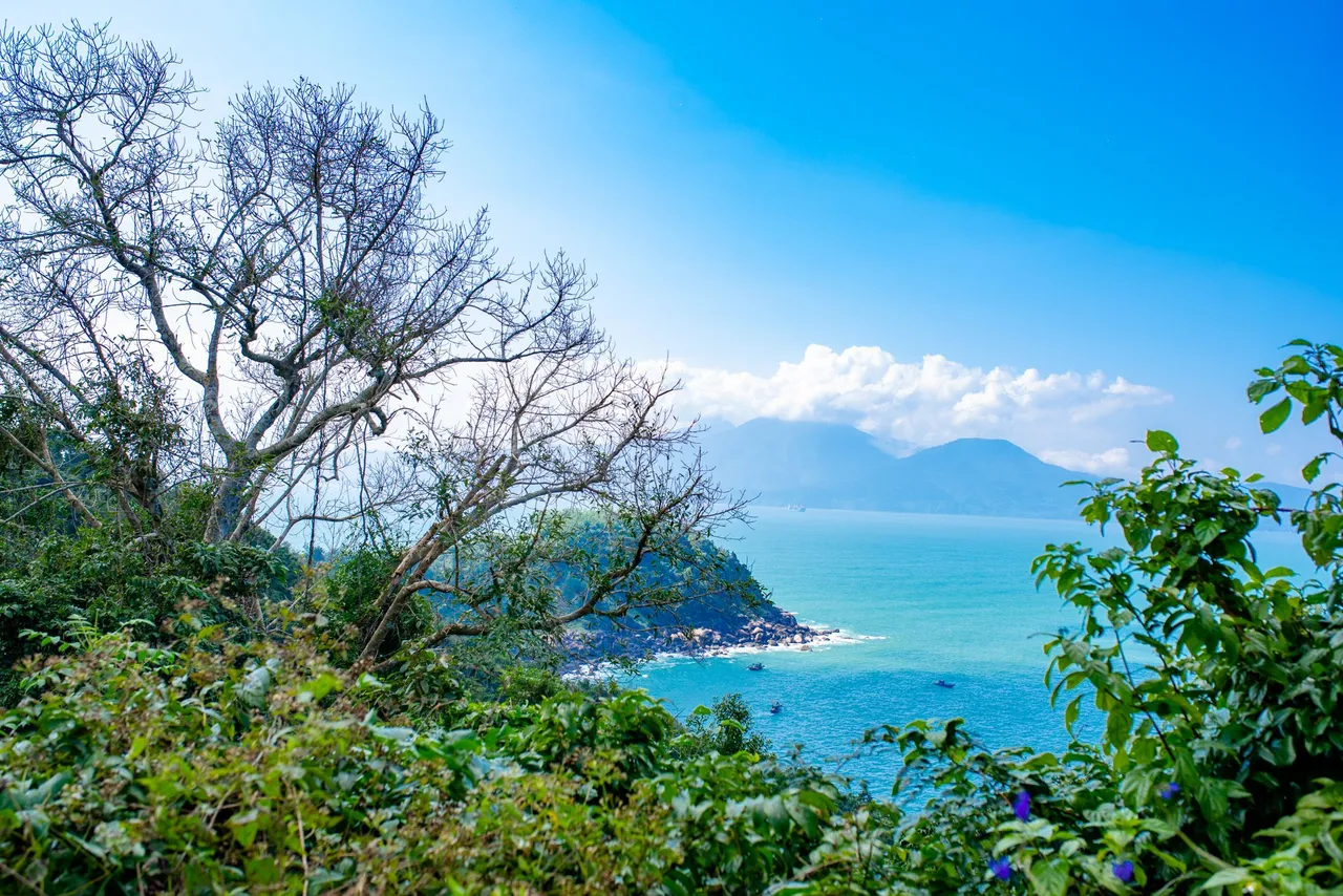
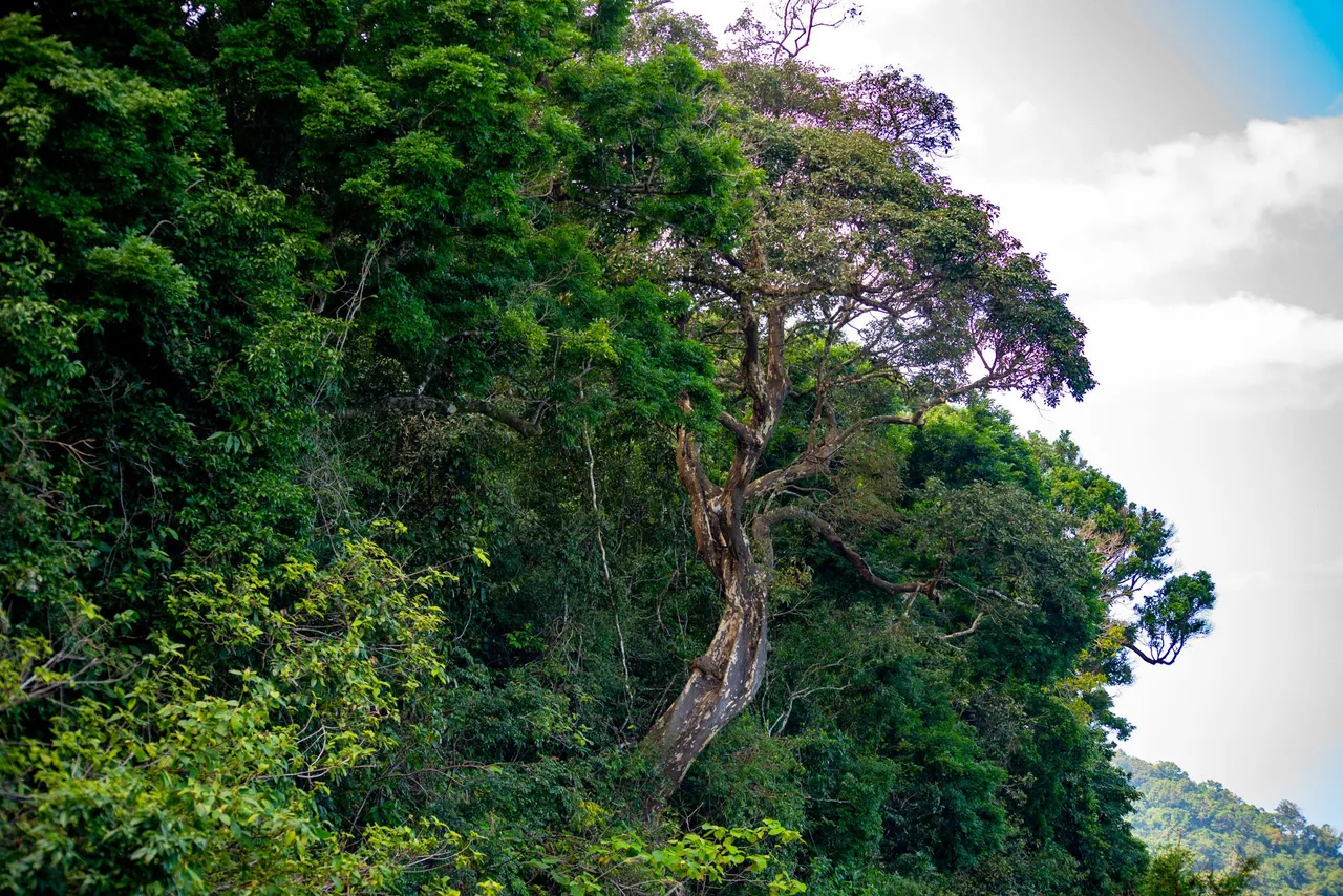
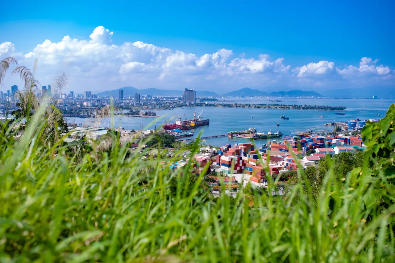
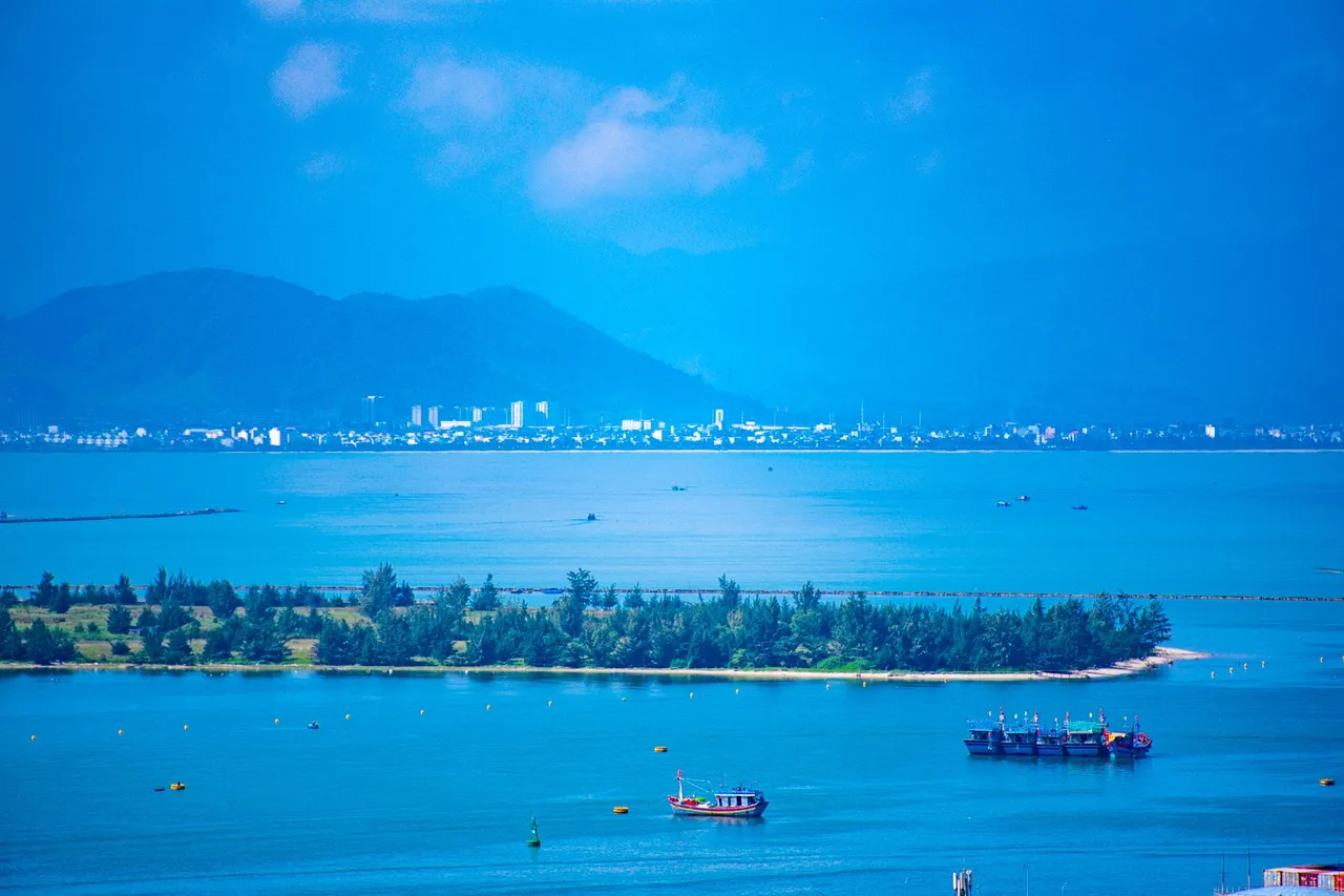
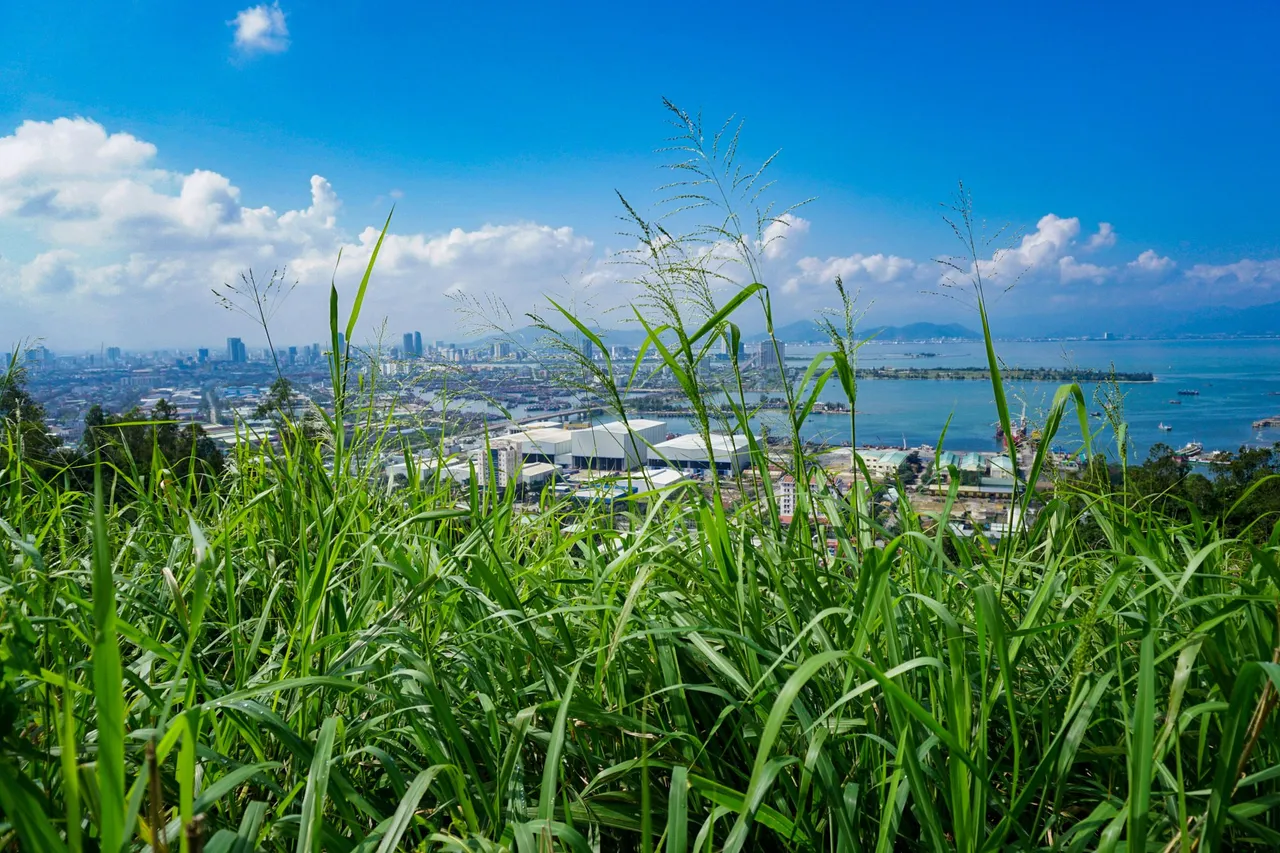
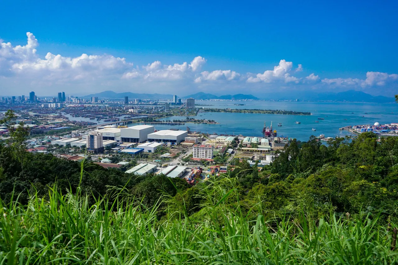
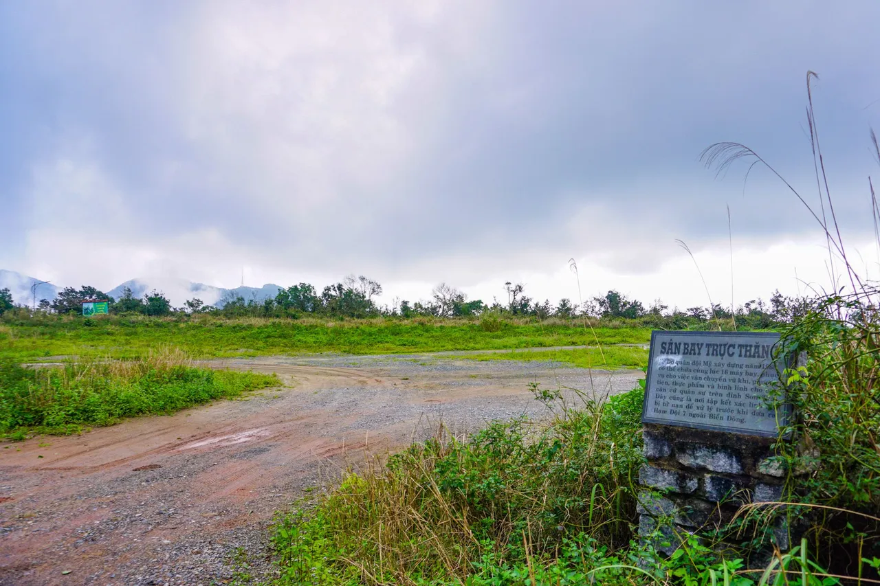
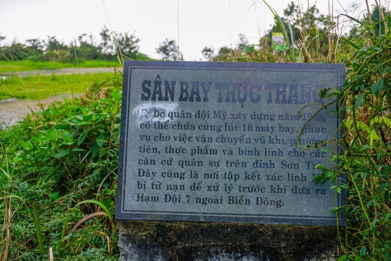
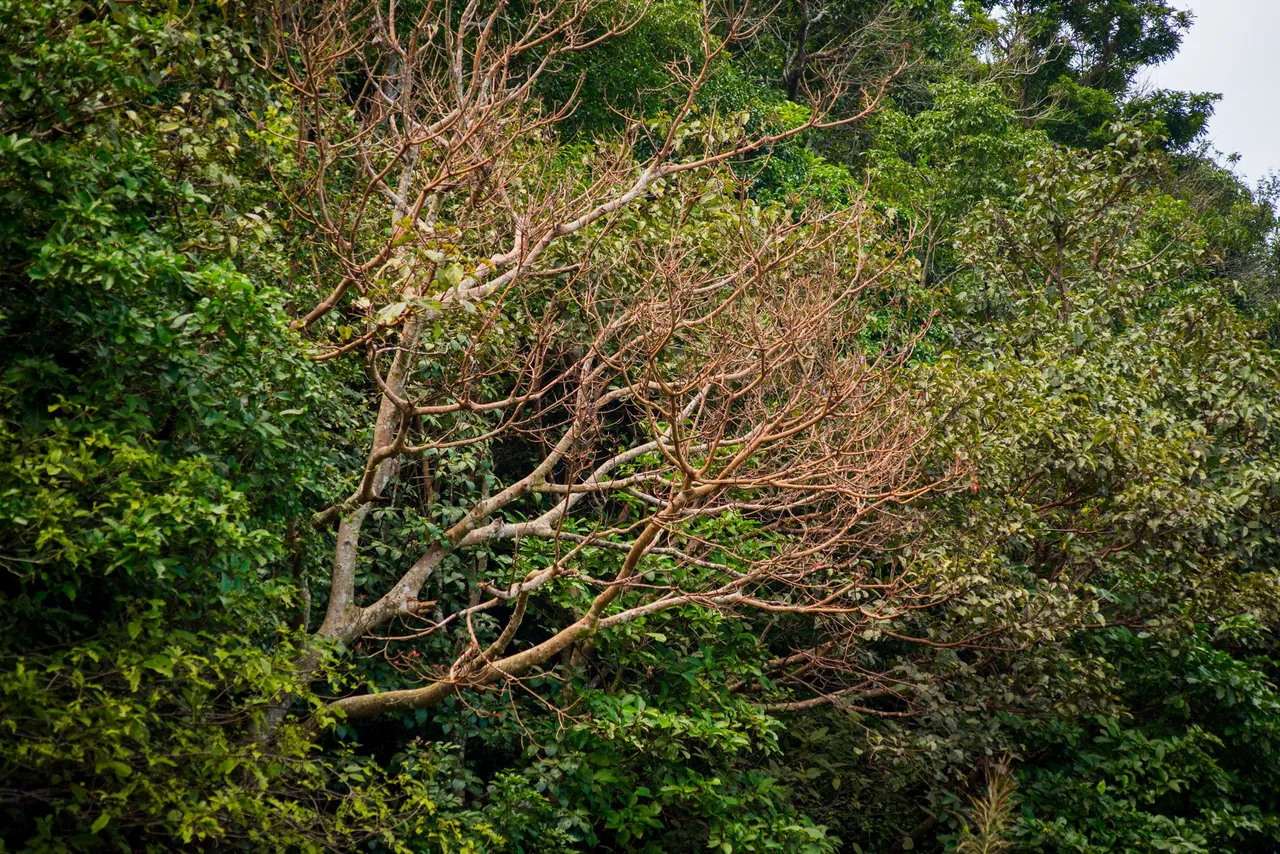
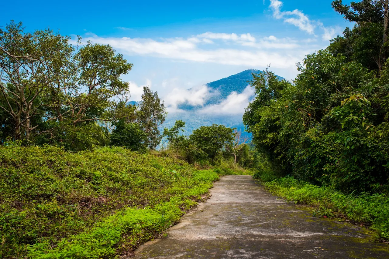
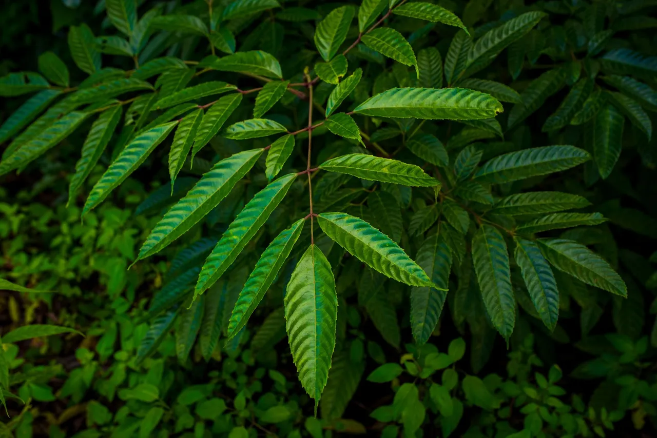
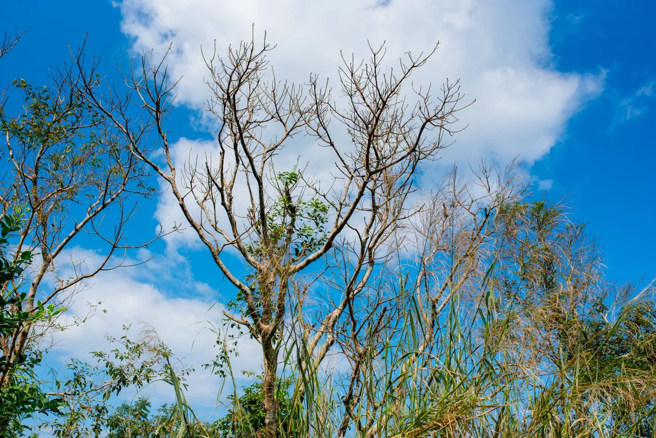
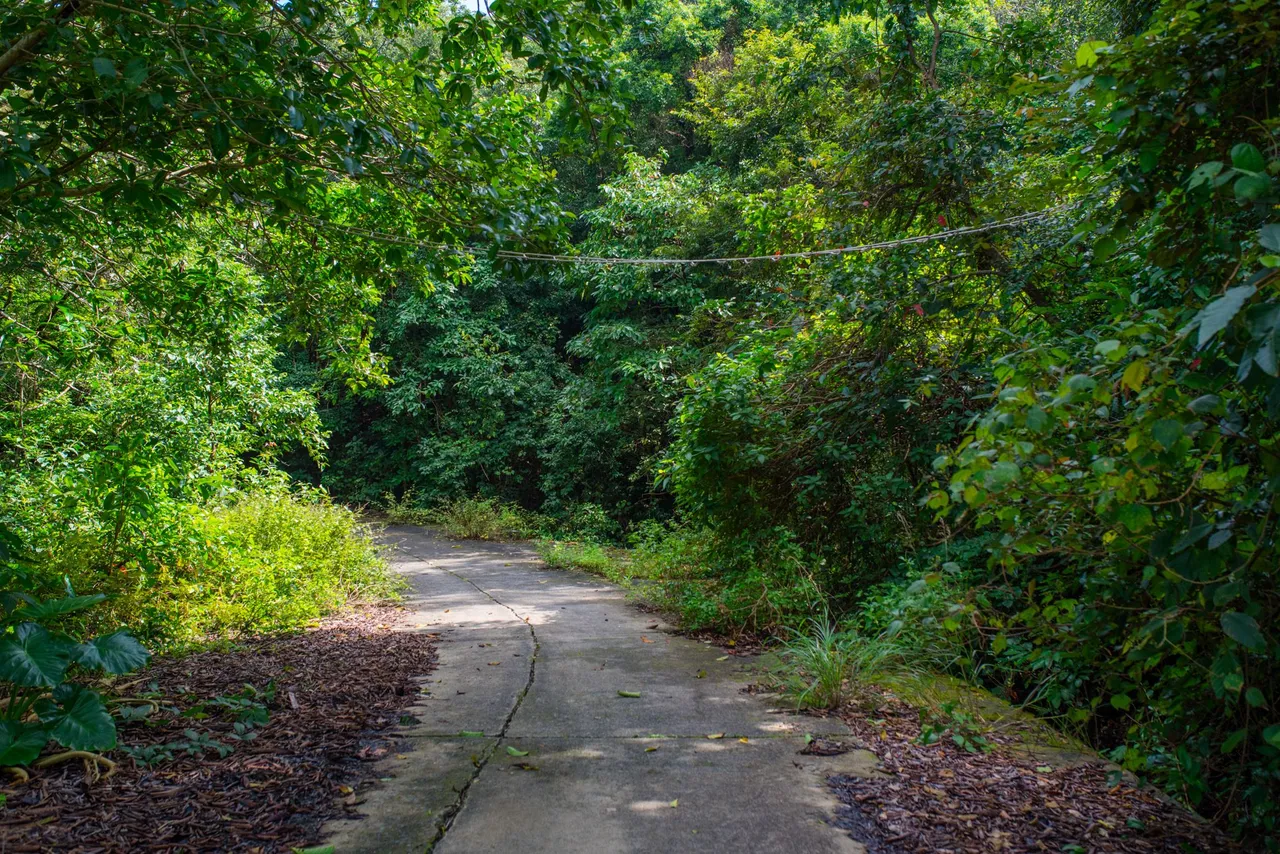
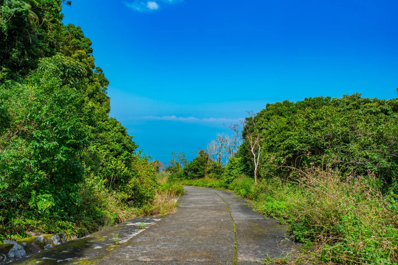
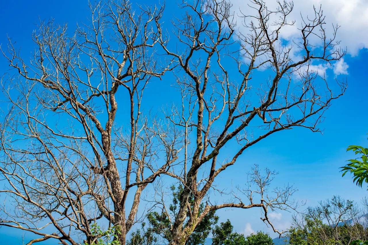
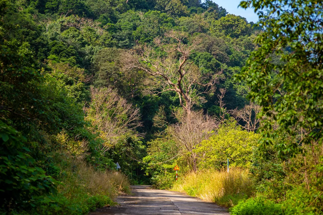
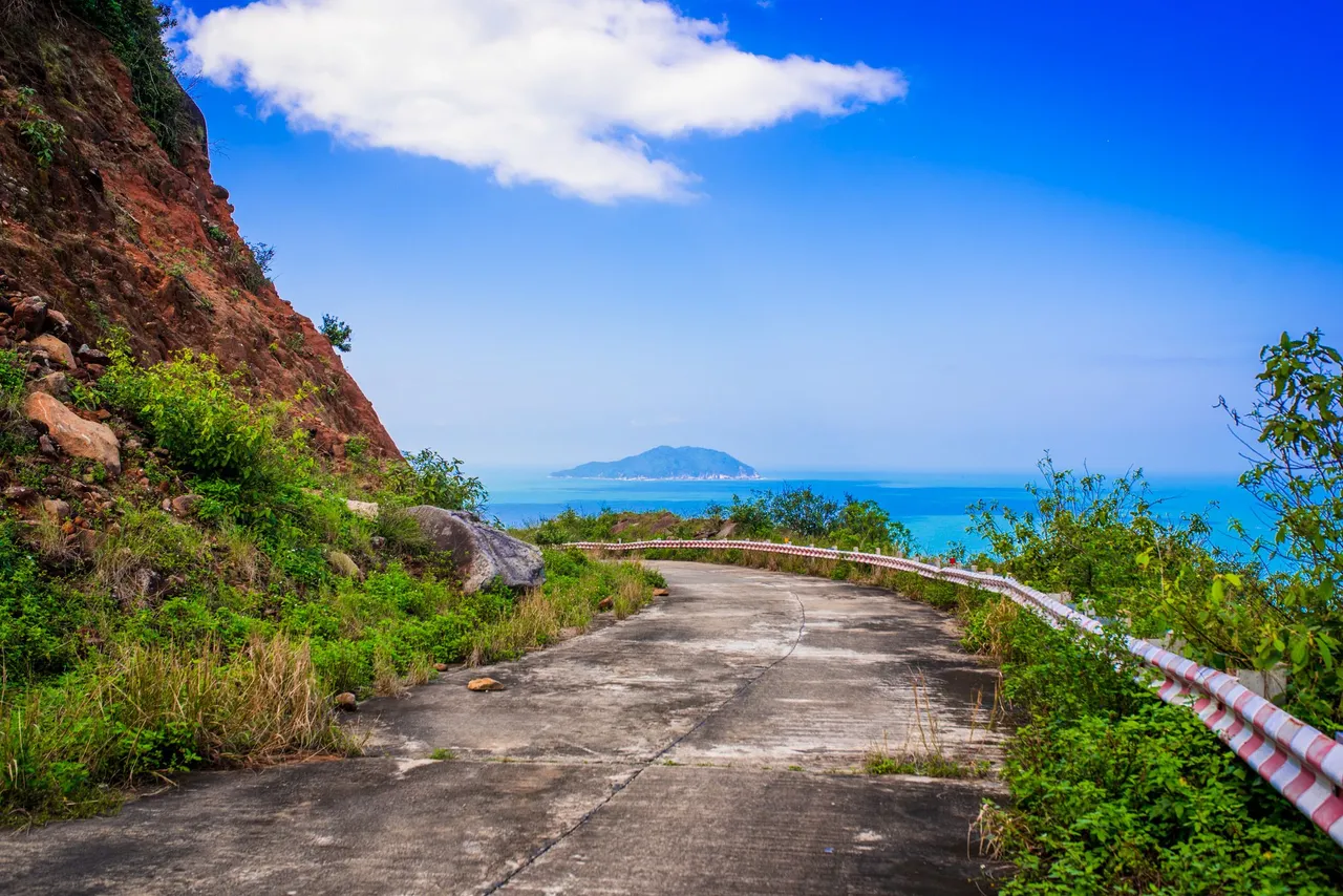
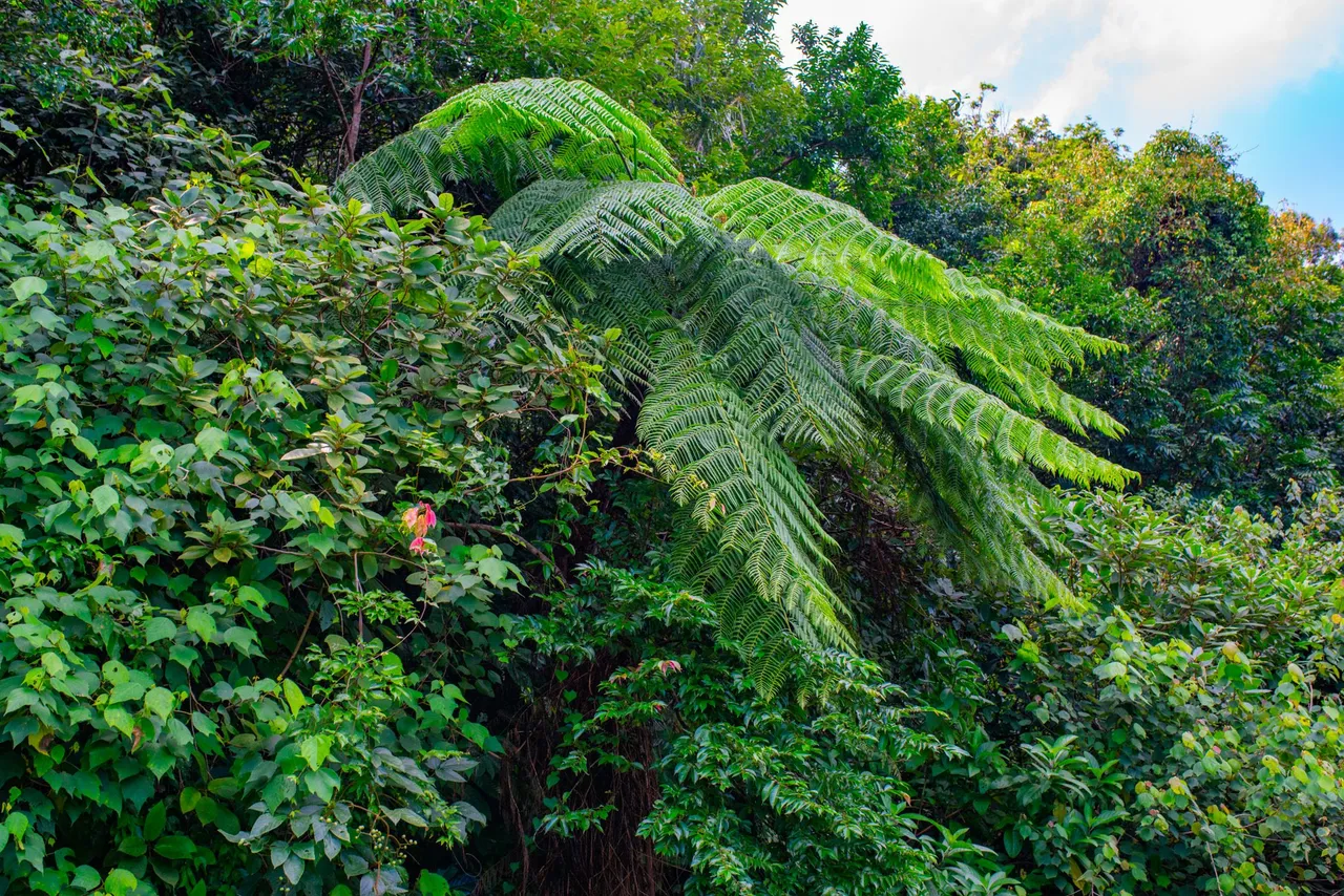
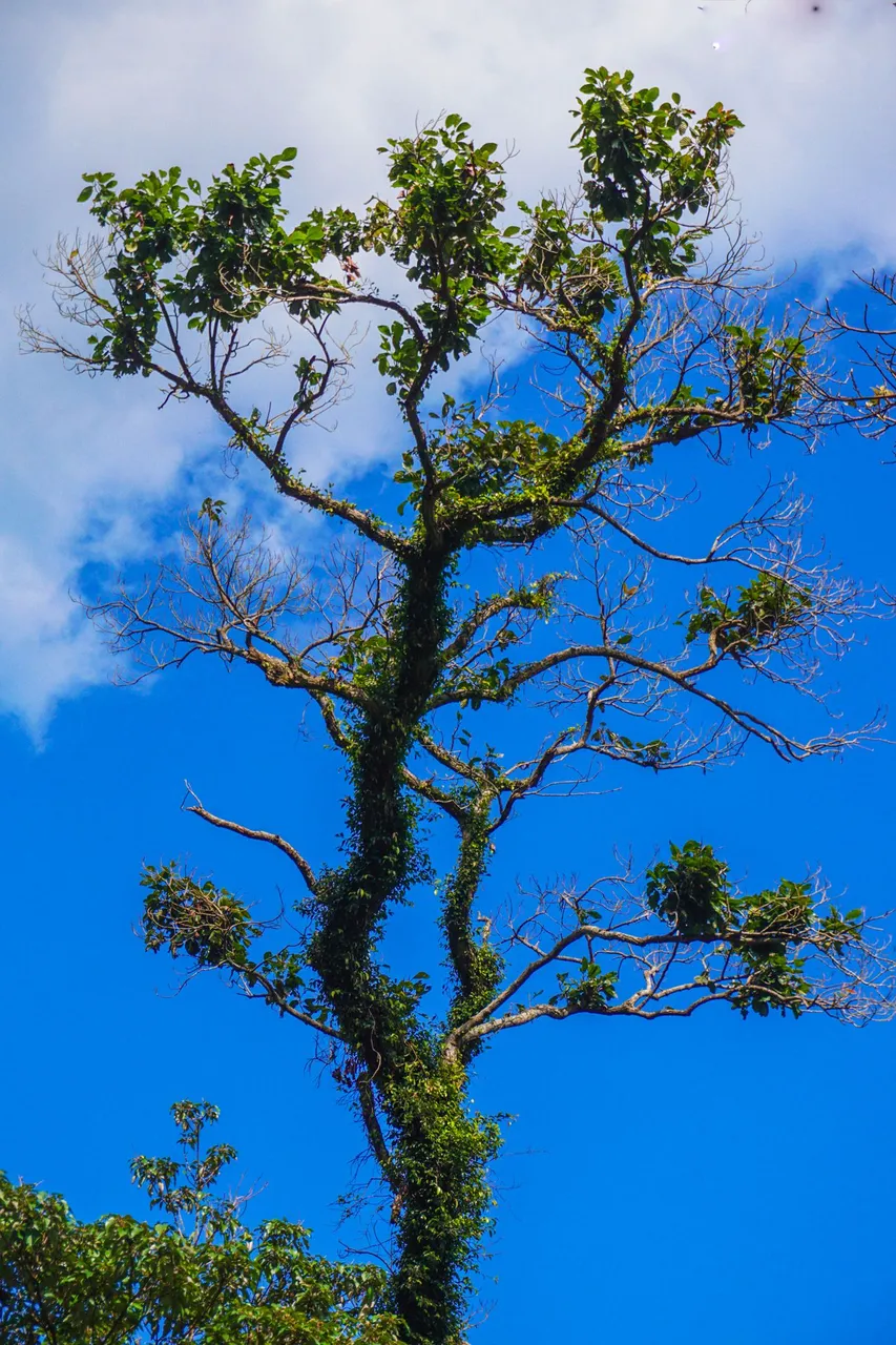
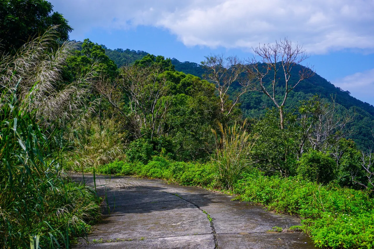
Going a little further, you will come across a large land, this is the helipad of the Son Tra peninsula. In the 1960s, the US Army built many military bases on the Son Tra peninsula, including a heliport. Heliport, built at the same time as the radar station, this airport has room for 16 helicopters at the same time, the purpose is to transport weapons, vehicles, supplies, soldiers to military bases. On the top of Son Tra mountain, this is also the place to gather the corpses of American soldiers who died in battle and they will take these corpses to the Seventh Fleet in the East Sea, then they will be brought back to the US. Standing from here you can also easily see Da Nang city from above, but there is a lot of fog below the mountain so I couldn't see the beach below. From this road you will see a lot of monkeys running across the road, the roads here are really beautiful, This place has a rich system of primeval forests. the trees of Son Tra peninsula. A special feature of tourists visiting Son Tra peninsula, extremely interested in. It is the green forest that is almost intact and has very little impact on human hands. The flora and fauna of the primeval forests of Son Tra, are still intact and have not been exploited, so everything still has a simple and rustic substance of the forests here. Continuing to go, you will realize, there will be many rocky beaches and very beautiful beaches located at the foot of the mountains of Son Tra peninsula, this is one of the rare ecosystems associated with the sea and the mountains. The primeval forest here is also the green lung of Da Nang city.
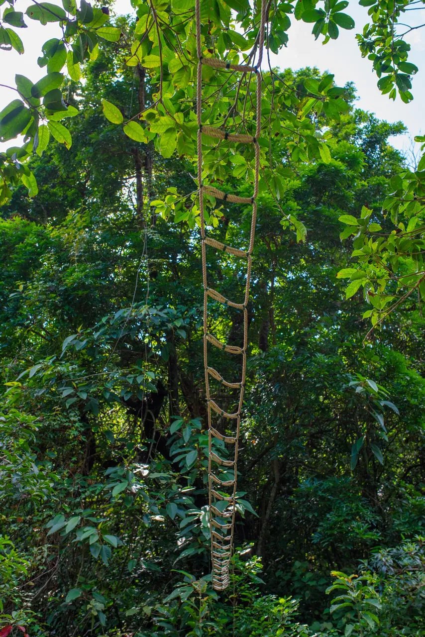
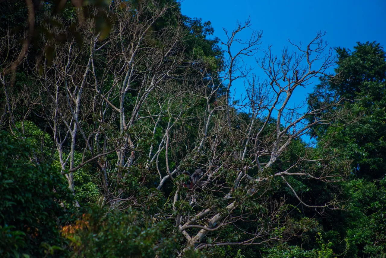
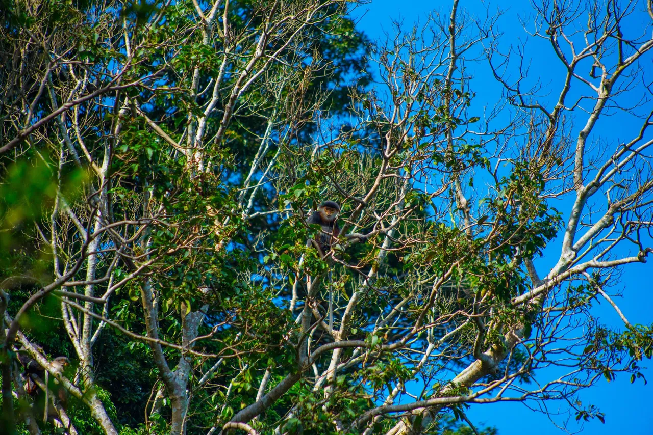
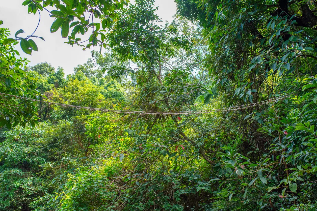
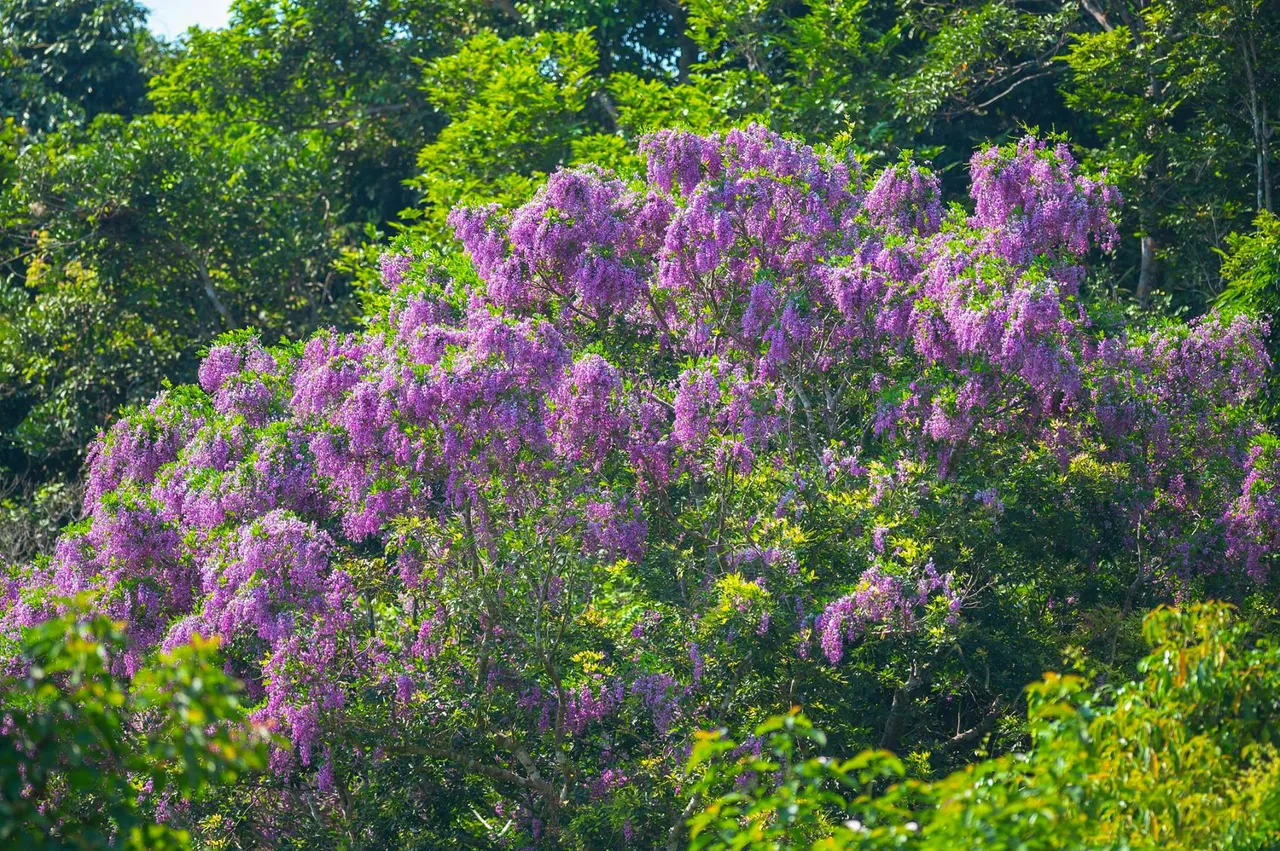
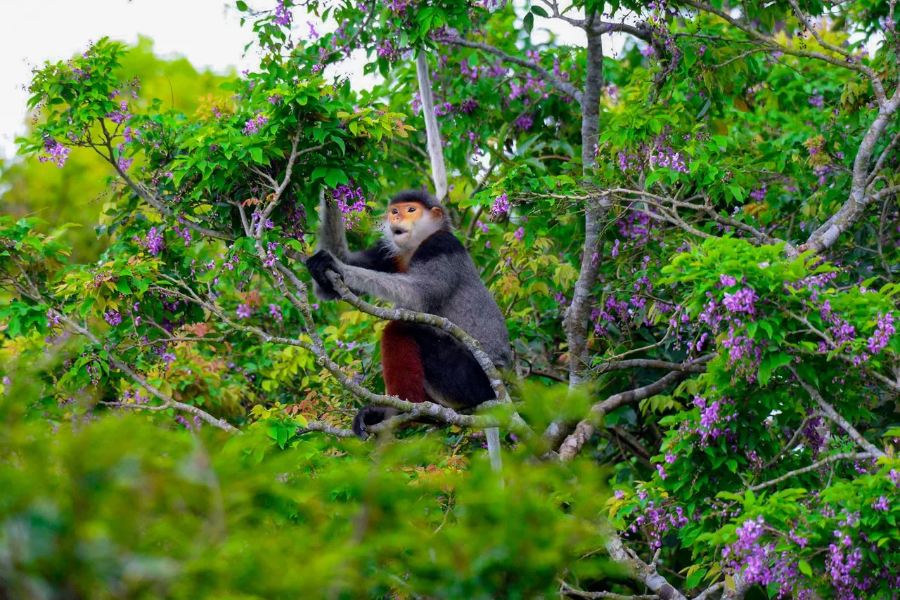
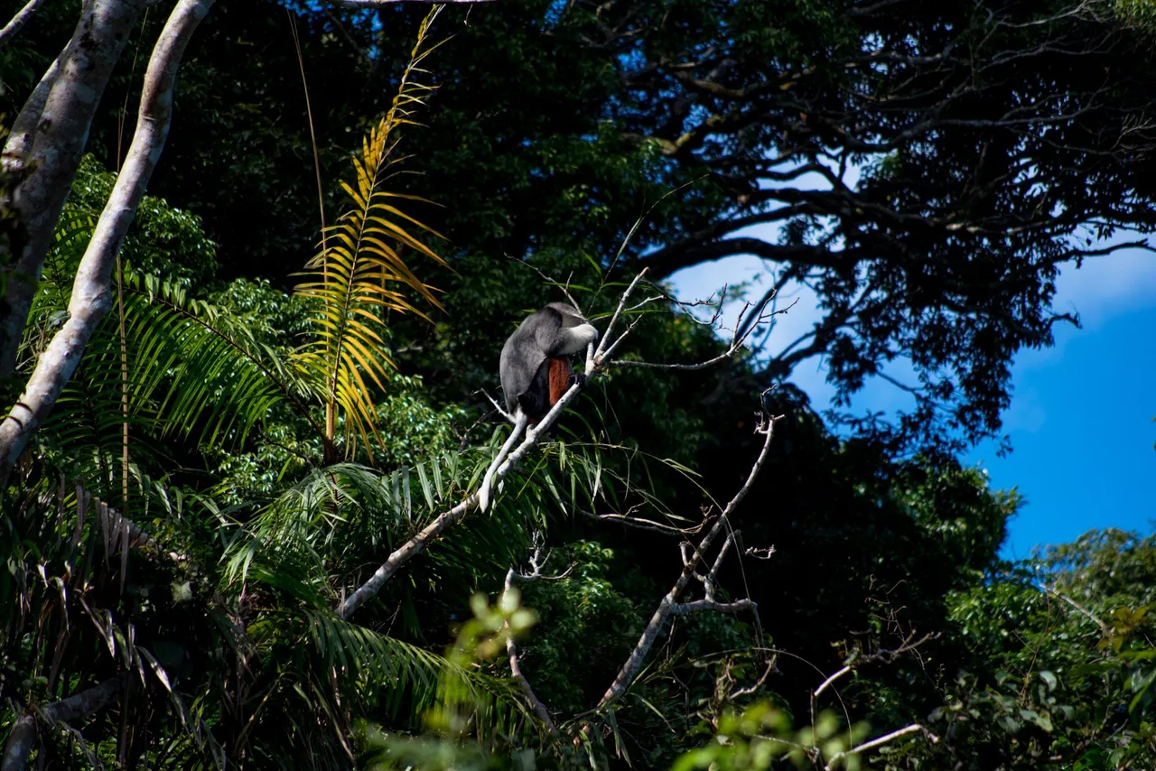
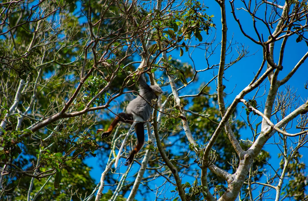
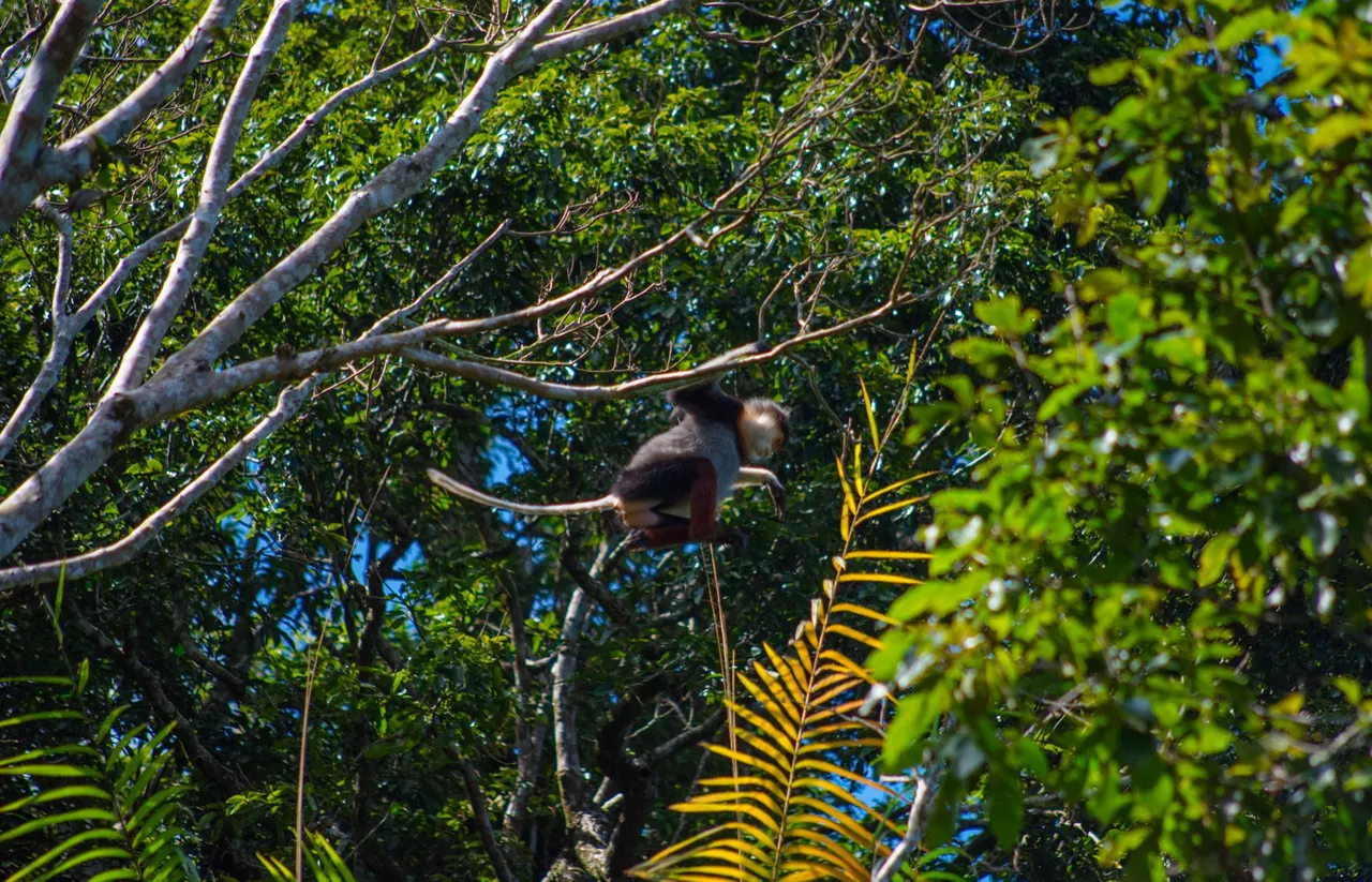
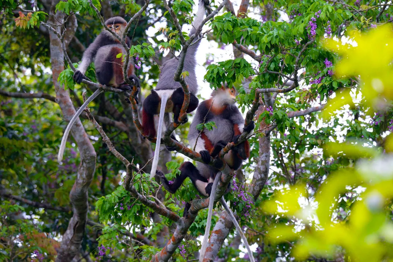
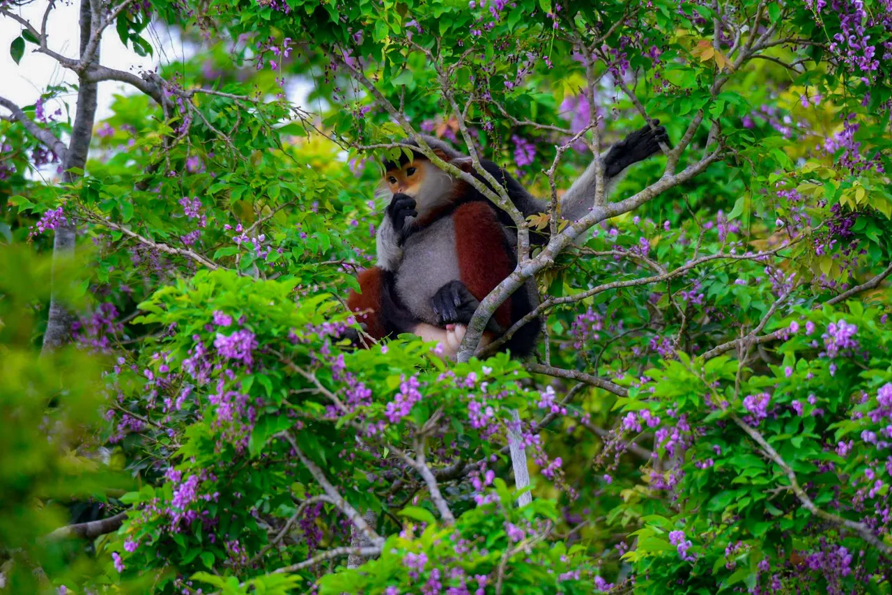
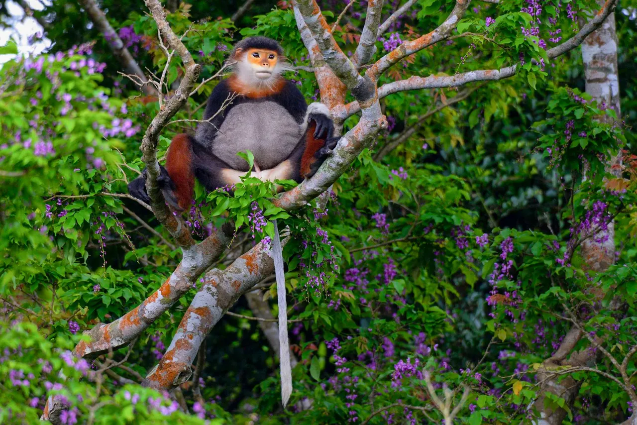
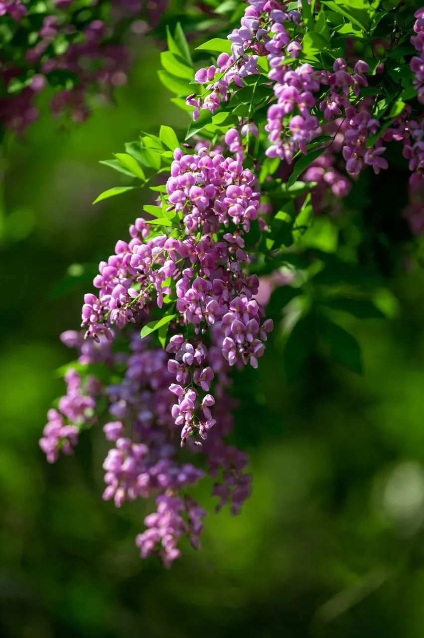
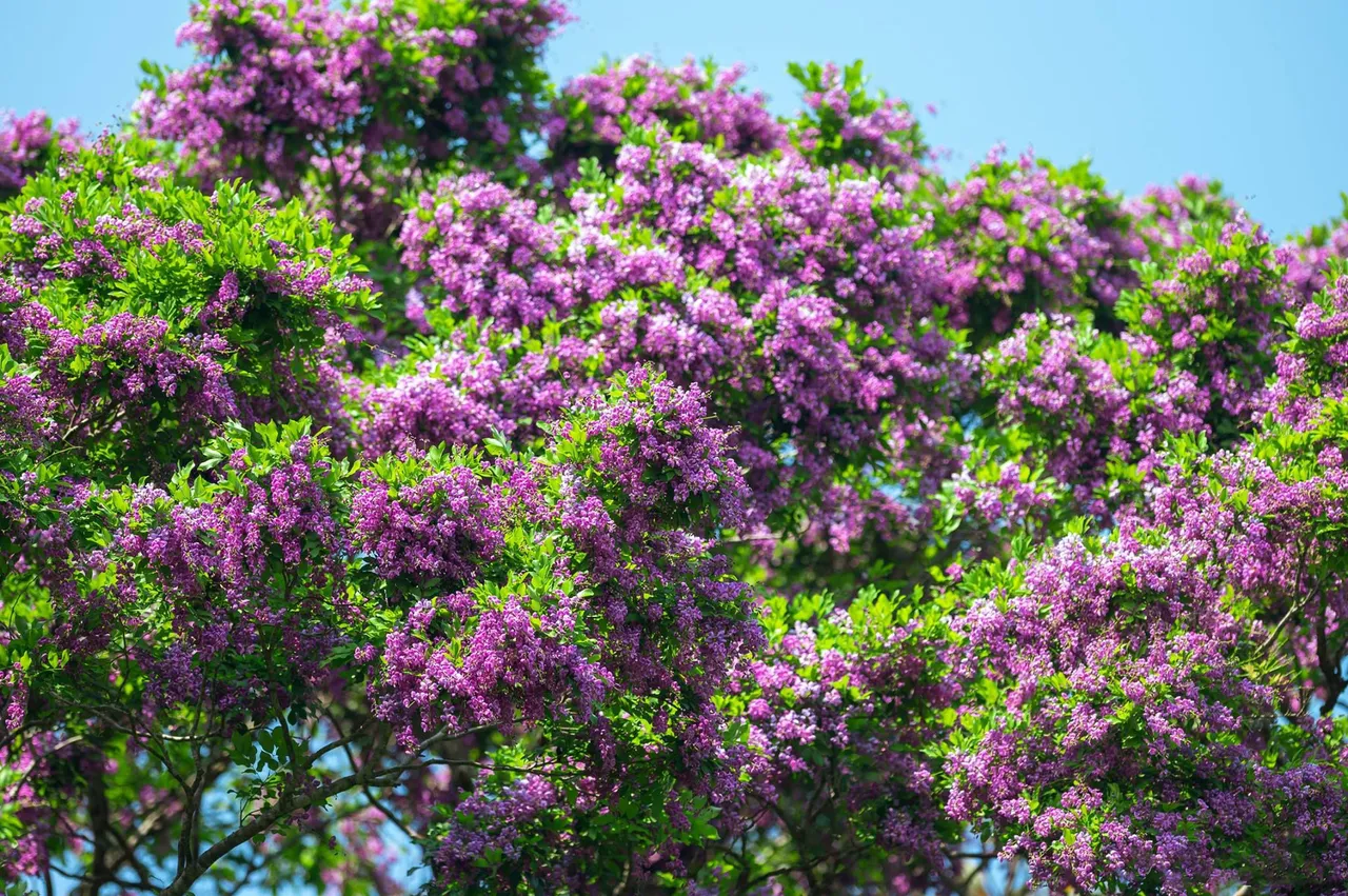
Son Tra Peninsula is also known as the kingdom of extremely rare primates, which is the brown-chanted douc langur, after the winding roads leading to the peninsula, visitors will encounter the douc langur. brown on the branches of old trees. The brown-shanked douc langur, also known as the five-colored langur was discovered in Son Tra in the last century, so far more than 300 children are living in the Son Tra peninsula. This is an animal that is honored by the wildlife protection organization as one of the queens of primates living in Son Tra peninsula. Currently, hundreds of brown-shanked douc langurs live here. They live in groups, each group has 5-7 children, they only eat leaves. Douc langurs have 5 typical colors: black, white, yellow, sepia, and ash gray. The Douc langur's face has a white beard all around, especially on the face, white forearms, and sepia legs. This monkey is somewhat shy compared to the yellow monkey of the Son Tra peninsula, but it has become an image that attracts photographers and tourists as well as locals. Anyone who comes to the peninsula also wants to see this wild animal with their own eyes. The area where langurs often live is in the north of the Son Tra peninsula if you look at the first map of the article I have marked at point C. In the afternoon at the old trees here you will see herds. langur is sitting on the high branches eating. Da Nang city has built rope bridges, crossing the road, so that the ducks can easily move across the road, without causing accidents to tourists when traveling on the Son Tra peninsula. In February and March every year, at Son Tra peninsula, there will be a typical blooming flower, this is the Than Mat flower, the flower has a very beautiful purple color. They are grown here on the branches, these are the branches that the Douc langur loves to sit. This is also the last place that I have stopped today, in this trip I have prepared a lot of things to photograph Douc langurs. Photography requires patience and the lens to use must have a long focal length. I used a Sigma 150-600 lens, which has image stabilization. So you need a tripod to capture it, this is also the purpose of today's trip.
After a tour of Son Tra island, how do you feel about the Son Tra peninsula? I am thinking of taking a walk around Son Tra soon. If it goes as planned, it will take me about 10 hours on foot to go around the Son Tra peninsula. Walking, I can capture many beautiful moments and explore more places, compared to traveling by motorbike. Thank you for watching my words on this exciting journey, have a great day.