Mt. Trail is another name, which was even more popular than its official name, of Halsema Highway. It is also called Baguio-Bontoc Road. It is a national highway stretching from the boundary of Baguio City up farther north to Bontoc, Mt. Province.
From the name Mt. Trail, you can take the hint that it traverses through several mountains of the Cordillera region where Baguio City, Benguet and Mt. Province are parts of. The trail's highest point is at 2,255 meters above sea level which makes it the second highest point in the Philippine Highway System. It used to be the top highest point until it was dethroned through a new finding of the government in 2019.
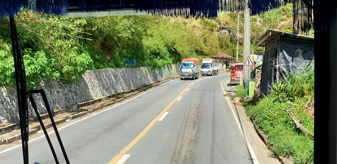
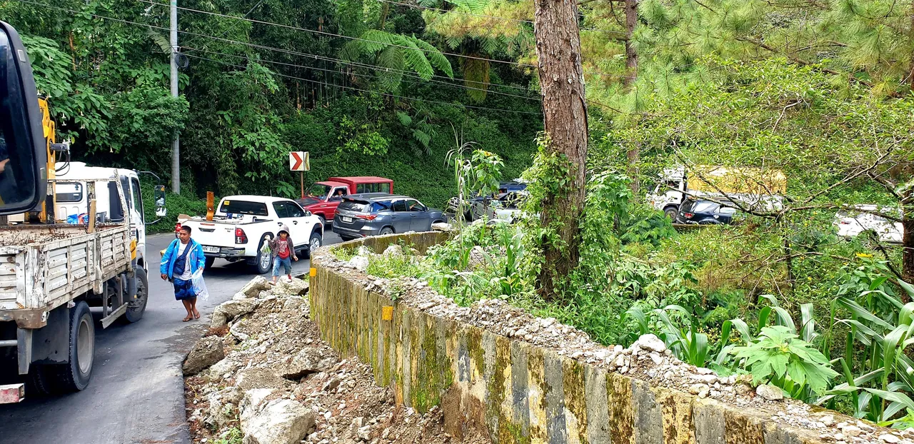
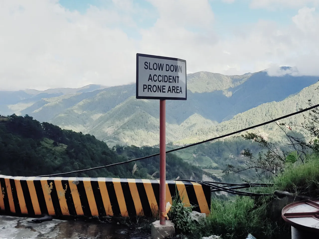
Halsema Highway is the main access road to farther north from Baguio City due to it is the shortest route. Given its mountainous location, the highway is prone to landslides during rainy seasons. Many times in the past that motorists need to take alternate routes due to such calamity. They are doing it again for a month or so.
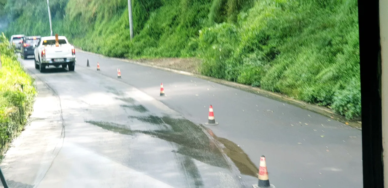
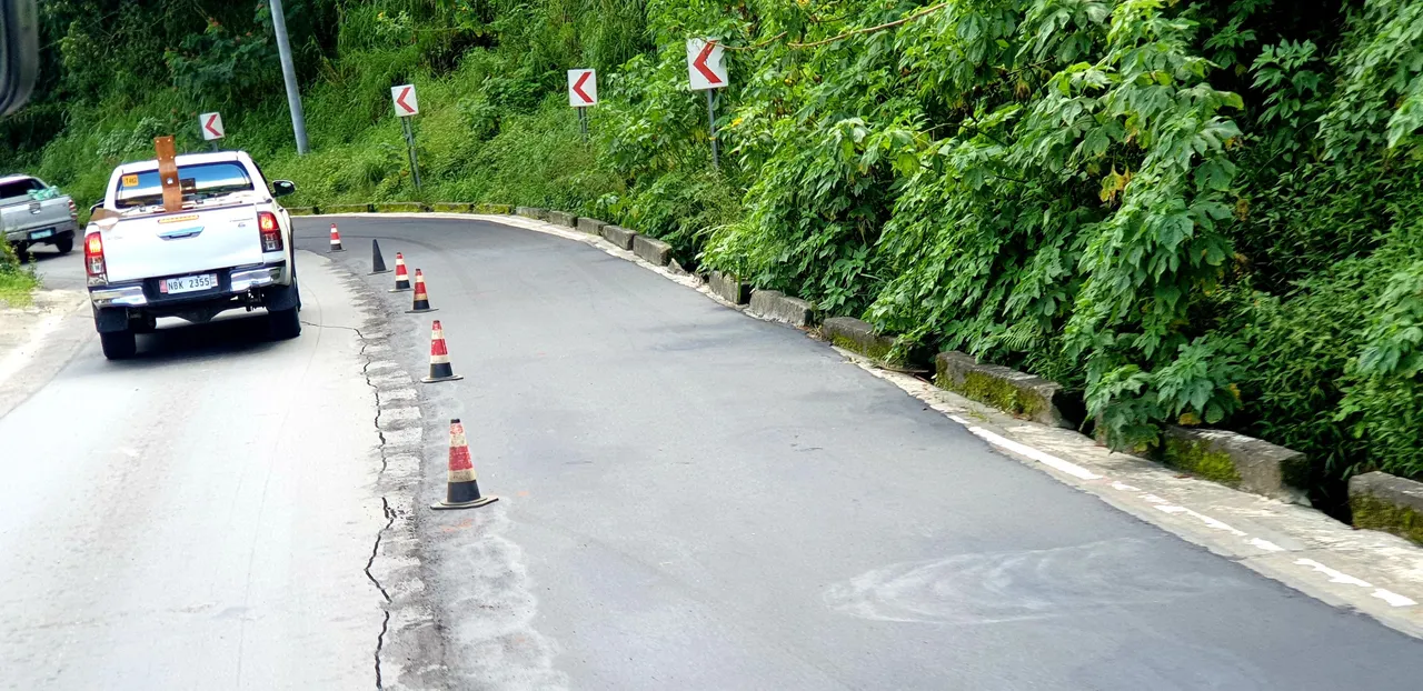
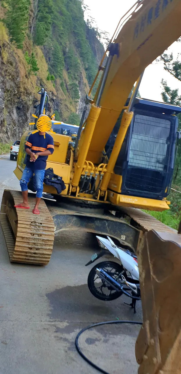
I passed by the highway the other day, 06 November 2022, and got into more stops than I used to. Repairs are on-going on different parts of the highway thus one-lane passing every now and then.
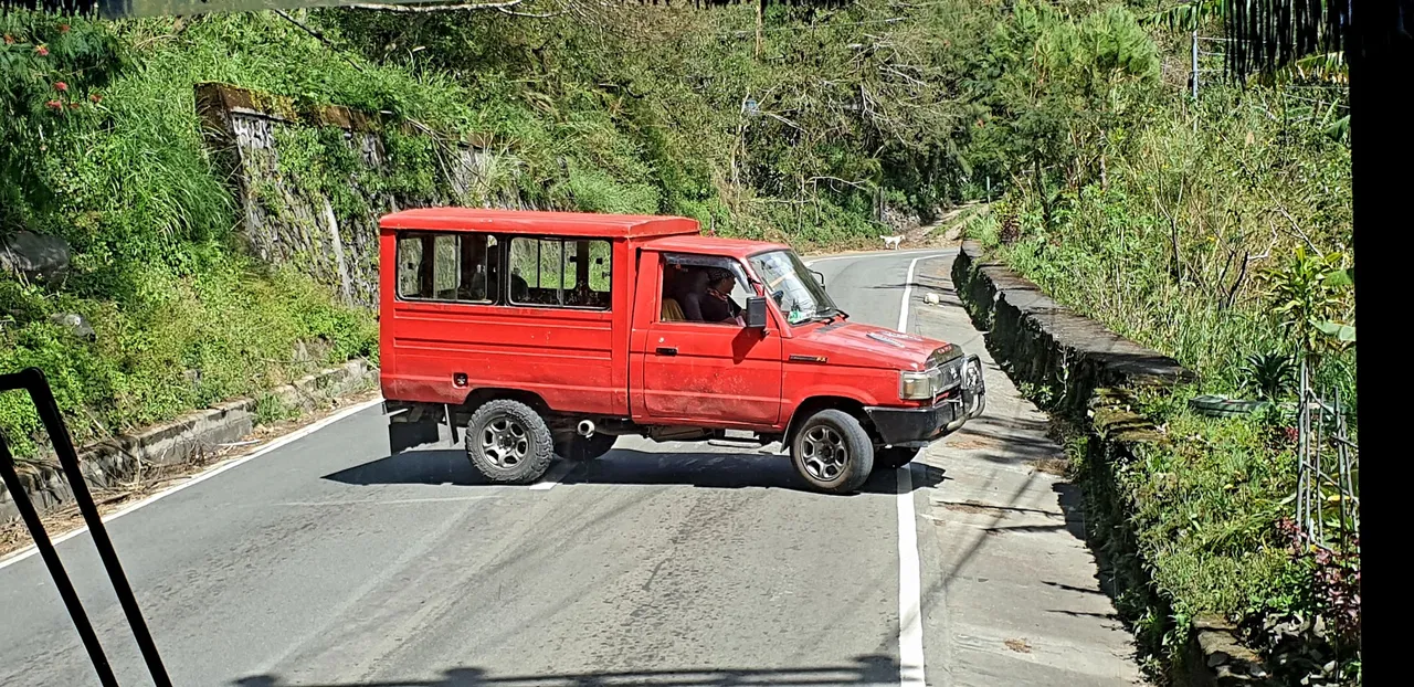
Add to the delay this motorist who seem to have change his mind about his destination. I was a bit shocked as it was close to a blind spot and this red creation suddenly appeared when our bus took a turn. This small truck was totally across the highway.
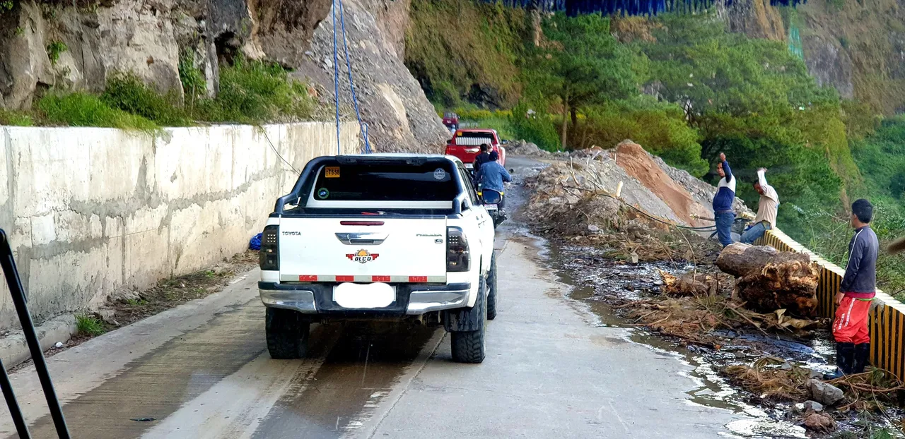
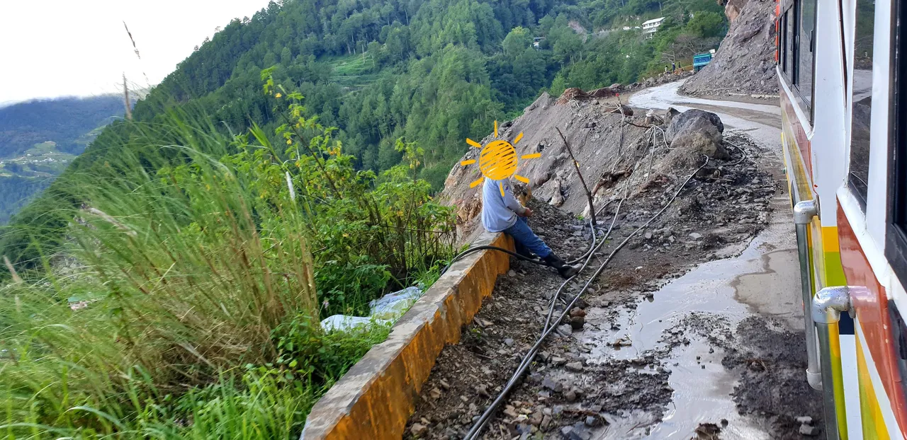
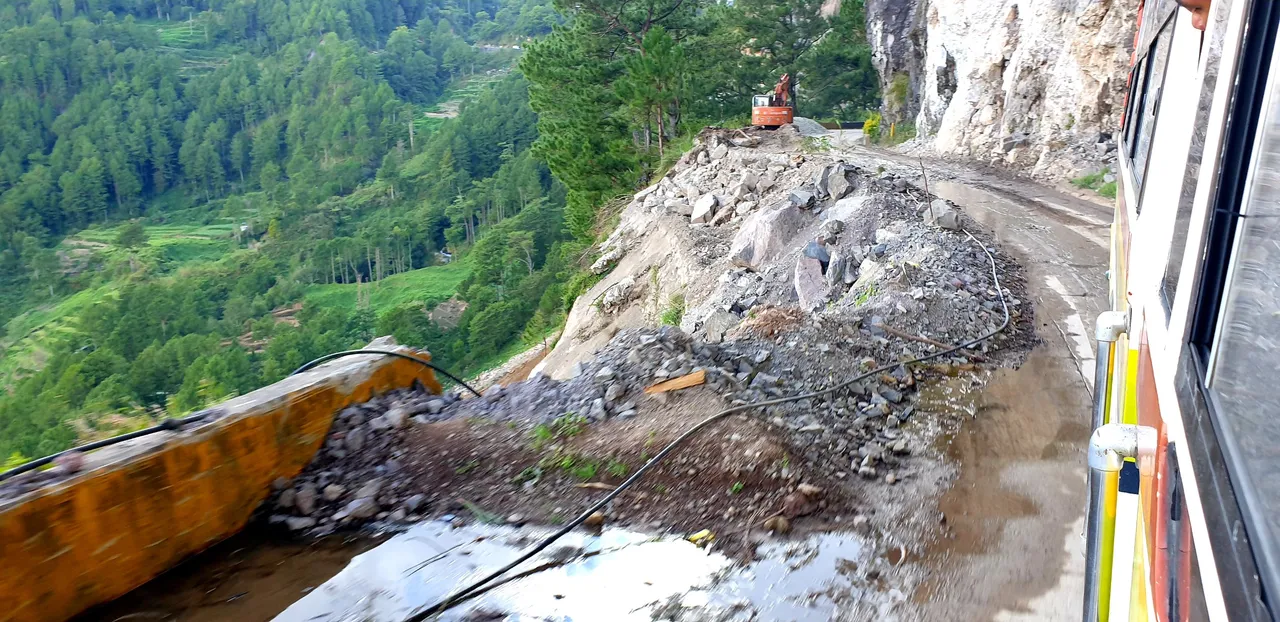
The biggest delay maybe for this year is the closure of the Mt. Data Cliff portion of the highway. The portion is just one lane due to landlside that washed out the outer lane out. The upper portion of the area also had debris from landslide. This situation was due to the past typhoon PaengPH (Nalgae).
The side of the bus was just inches away from the edge of the ravine. I happened to be on a passenger and window side so I had unobstructed view. I looked down the ravine and it was terrifying. It is too deep, plus the possible debris from the upper side.
From the FB account of the mayor of Bauko, Mt. Province (where Mt. Data Cliff is), he announced that the said portion will be closed starting 07 November 2022 at 7:00 am. I asked through a comment for the duration and he answered "one month." I requested if he can add that piece of info on his main post but he did not.
While we were stuck on traffic on that area due to the one-lane passing, the driver went out chatting with the workers on site. They were saying that they hope they can finish in two months.
"So that is why the mayor did not include the closure duration on his post. They want to control the public impression of 'too long'. They want to play safe." I thought. I would agree to such strategy even if I may agree with the workers. The degree of the damage is high so it can really take long time to repair.
While the bus was waiting for departure at the terminal earlier that day, I had a chat with the conductor about the road closure. He confirmed so I asked about the alternate route and time of travel. He said via Cervantes, Ilocos Sur with additinal two hours of travel. "Seven hours sitting on travel. Wow, that's long!" I thought. I asked about the fare, he said it will be the same. Now, that's cool!
The fare was not that cool when the driver asked for a fare 50 pesos more than it should be when I travelled back the following day. I took a van which had the same fare rate with the buses prior to the closure. Now they have higher fare rate due to the alternate route? I had no better choice at that point because it was already late. There was only one bus left going back and was due to depart in one hour. One hour is a big difference when I wouldn't want to get home so late at night so I hopped into the van. The challenge with the vans is that most are colorums. With the shortage of official transport means, commuters like me would bite the bullet.
What was really cool was the travel time. It was just additional 30 minutes as compared to two hours that the bus conductor mentioned. I cannot say that the van driver sped up. I guess the bus conductor was just playing safe, and maybe to impress later if they beat the two hours much earlier.
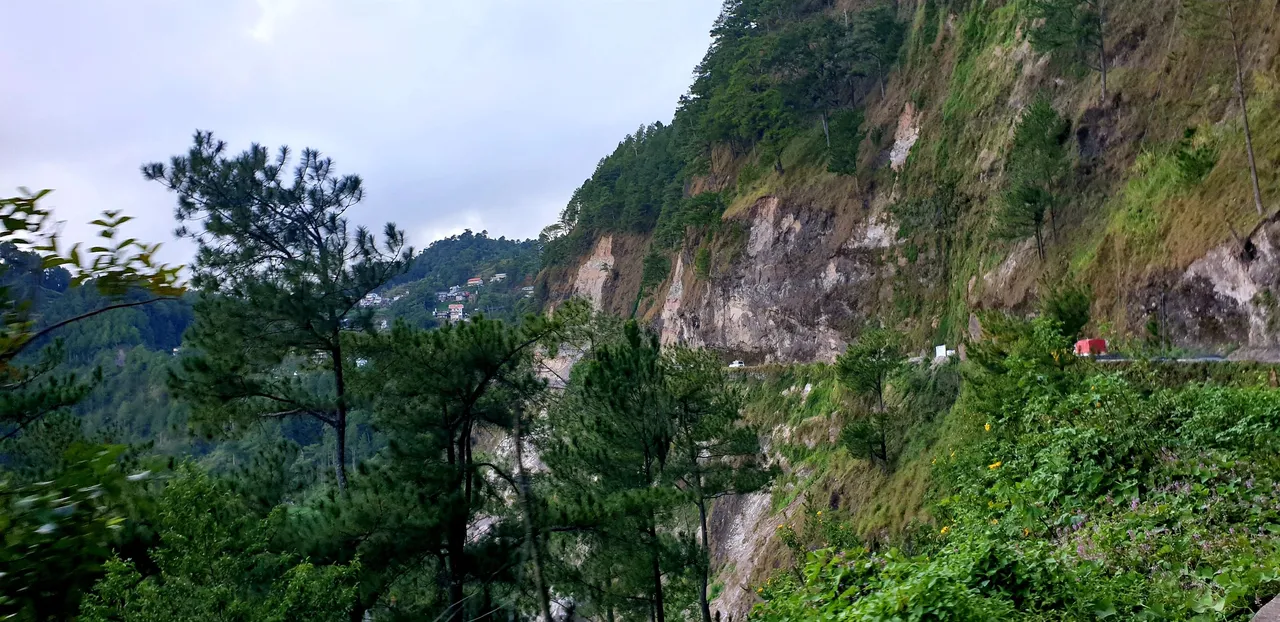
The view of eroded Mt. Data Cliff from afar. Click here for full image view.