Hiking Harder Kulm
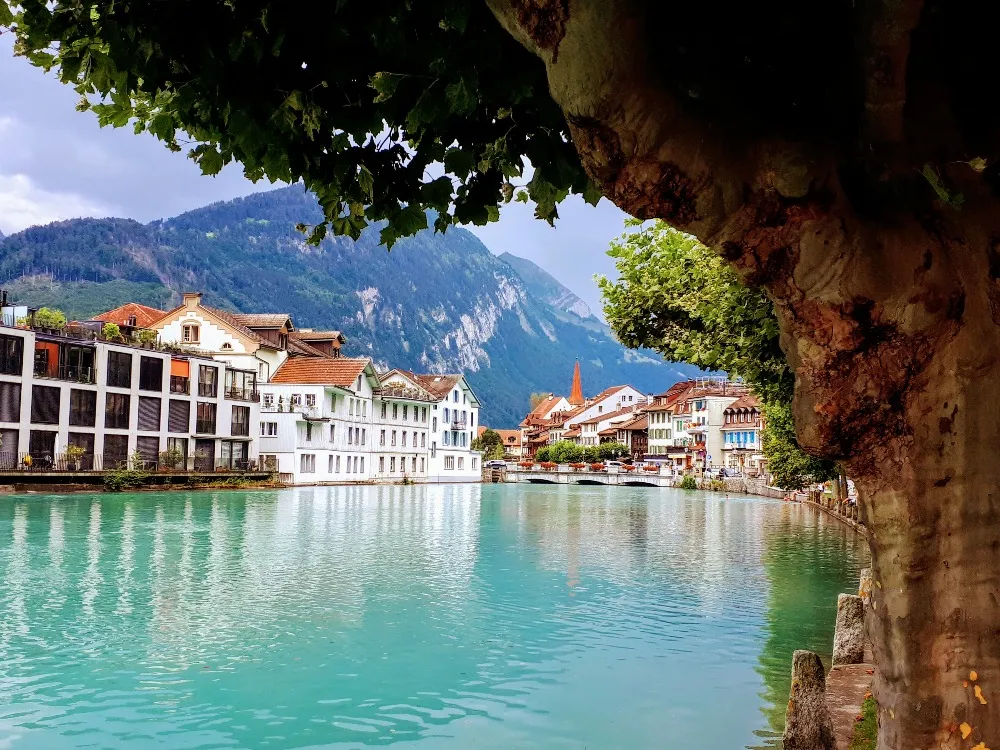
On the third day of our trip, after spending a few hours in and around the town of Thun, we headed for Interlaken, a small city nestled in a mountain valley between two Lakes - Thun and Brienz.
Late the night before while in our hotel we had decided that we had to do some hiking on our trip, we were in the mountains after all, and decided that we would start by climbing Harder Kulm. At this point though it was getting a little late in the day - around 2pm, and we read that the hike takes approximately 2 hours each way on foot. It was also very hot and muggy outside.
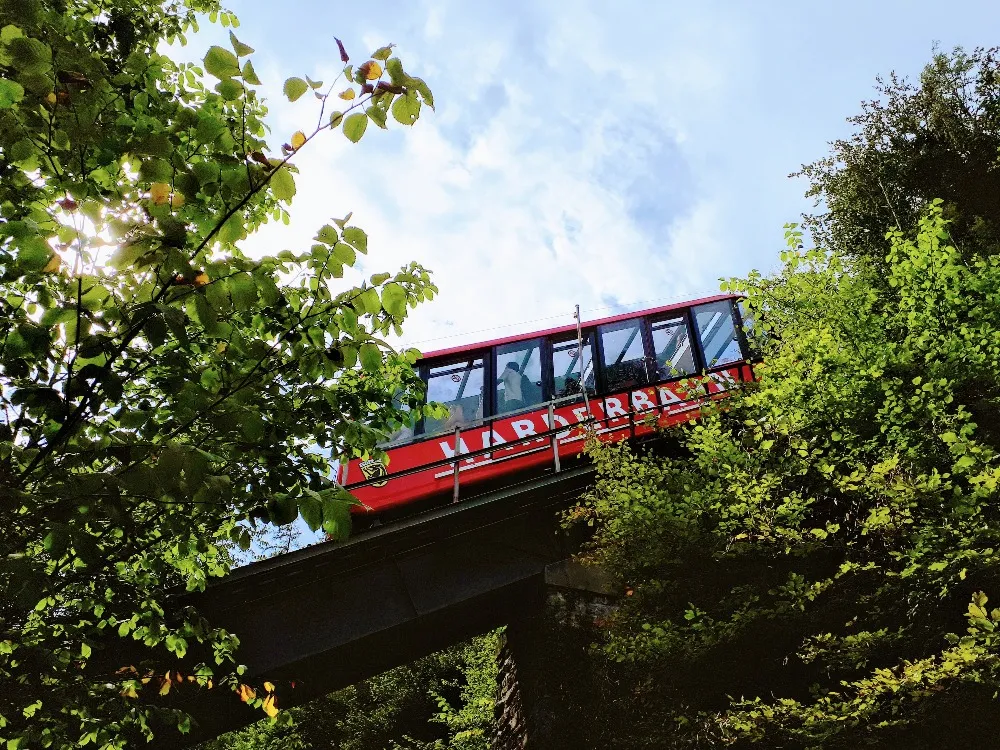
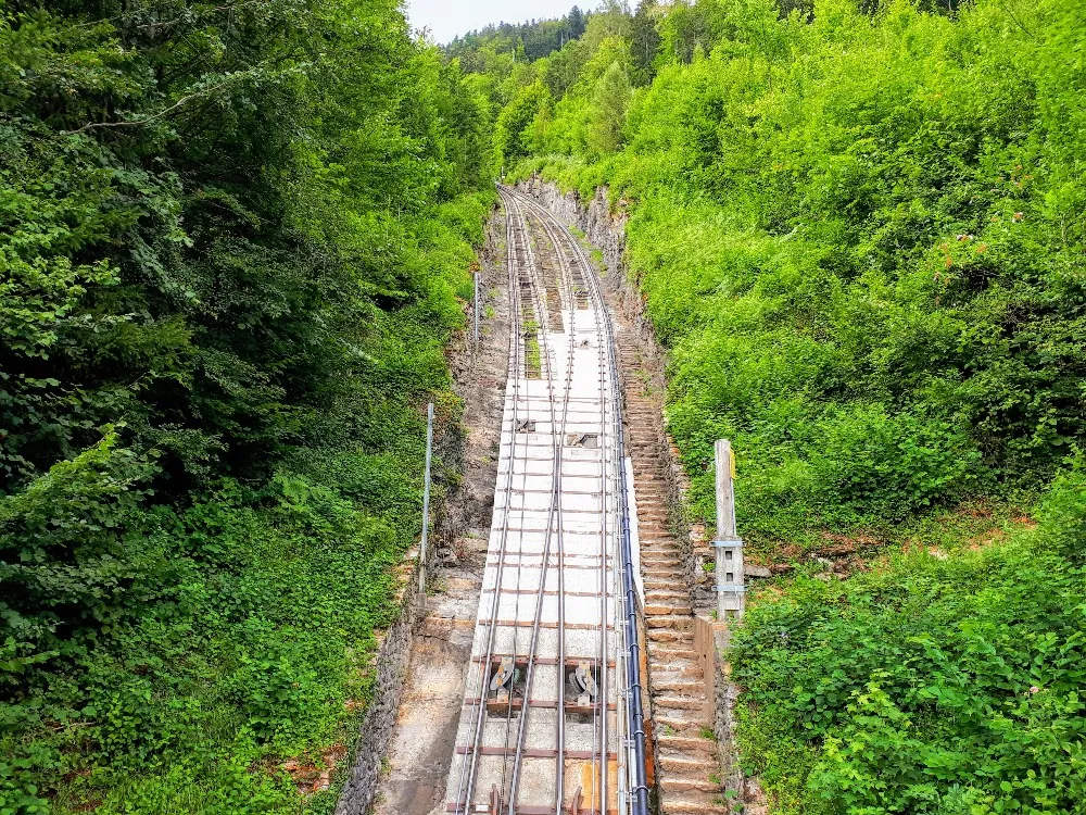
So given the hour and the heat, we opted to buy a one way tram ticket to the top and then hike our way down the mountain. Going up was easy. It took less than 10 minutes.
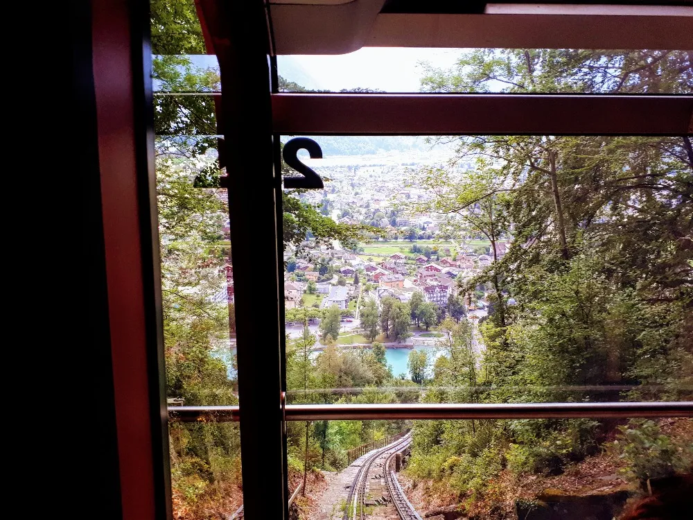
Below is an immediate view from the top of the tram. From here a paved pathway leads up to the monastery and look-out at the top.
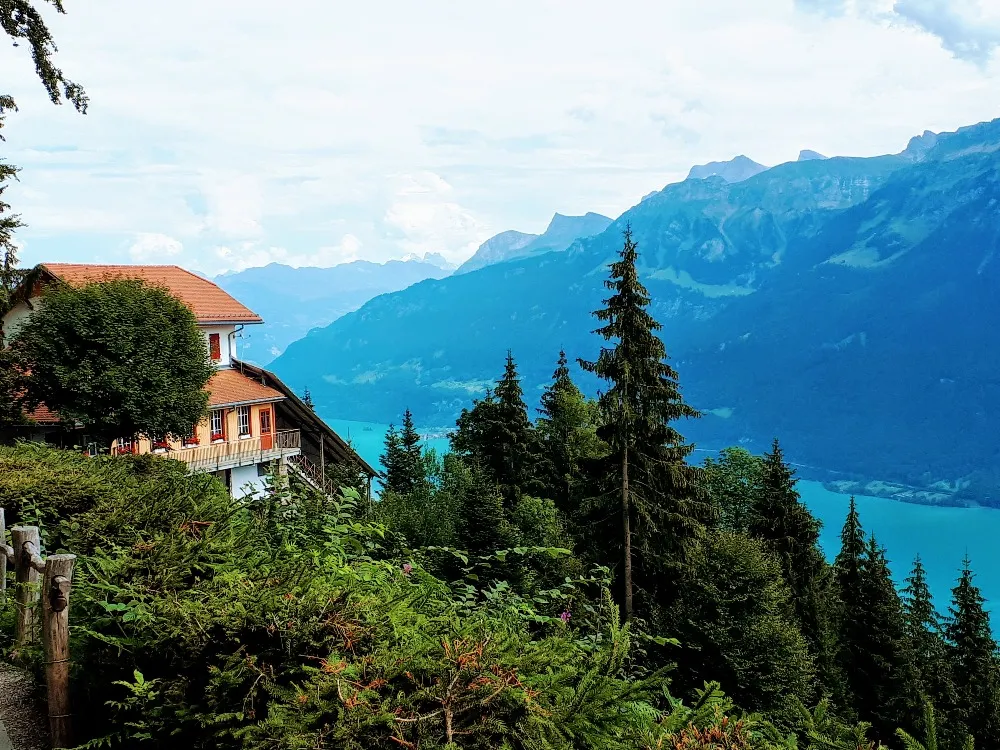
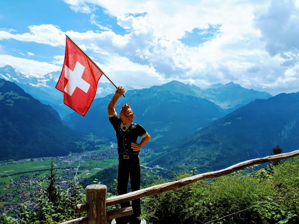
As far as mountains go, this one isn't overly high, but it still gives a good vantage point for some awesome views of the city and lake below.
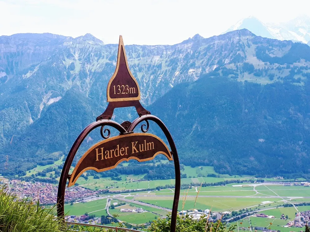
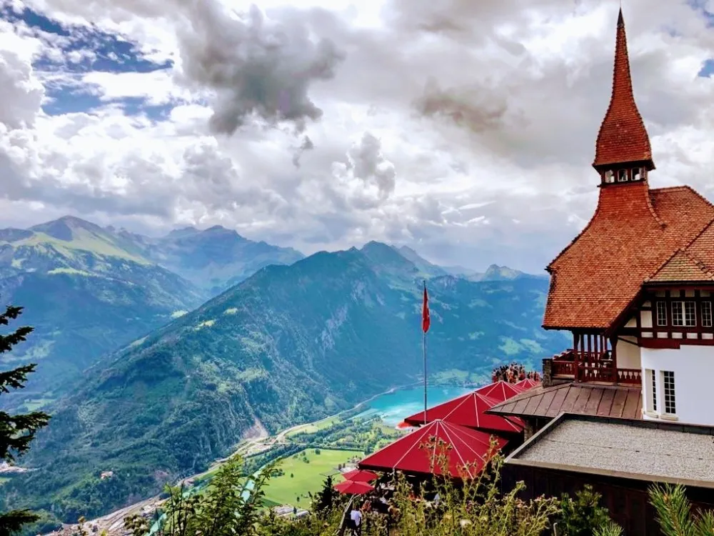
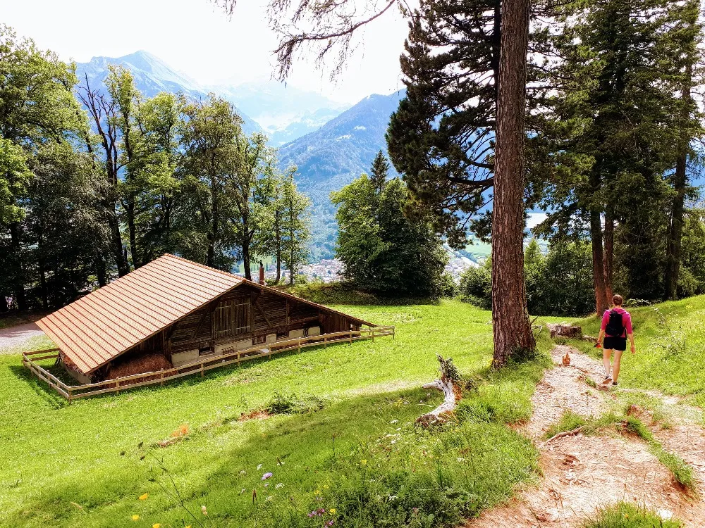
At nearly the top of the mountain is also an old monastery that has been converted into a restaurant. Here there is a large overhanging look-out spot attached to the restaurants deck. At the time of our arrival the place was very crowded with people so we decided to go for a bit of hike around the top before coming back for the view.
However, our hike brought us a little further then we originally intended and by the time we realized that the pathway didn't loop back to the monastery we had gone too far to turn around. That was okay though, there were plenty of look out points along the trail.
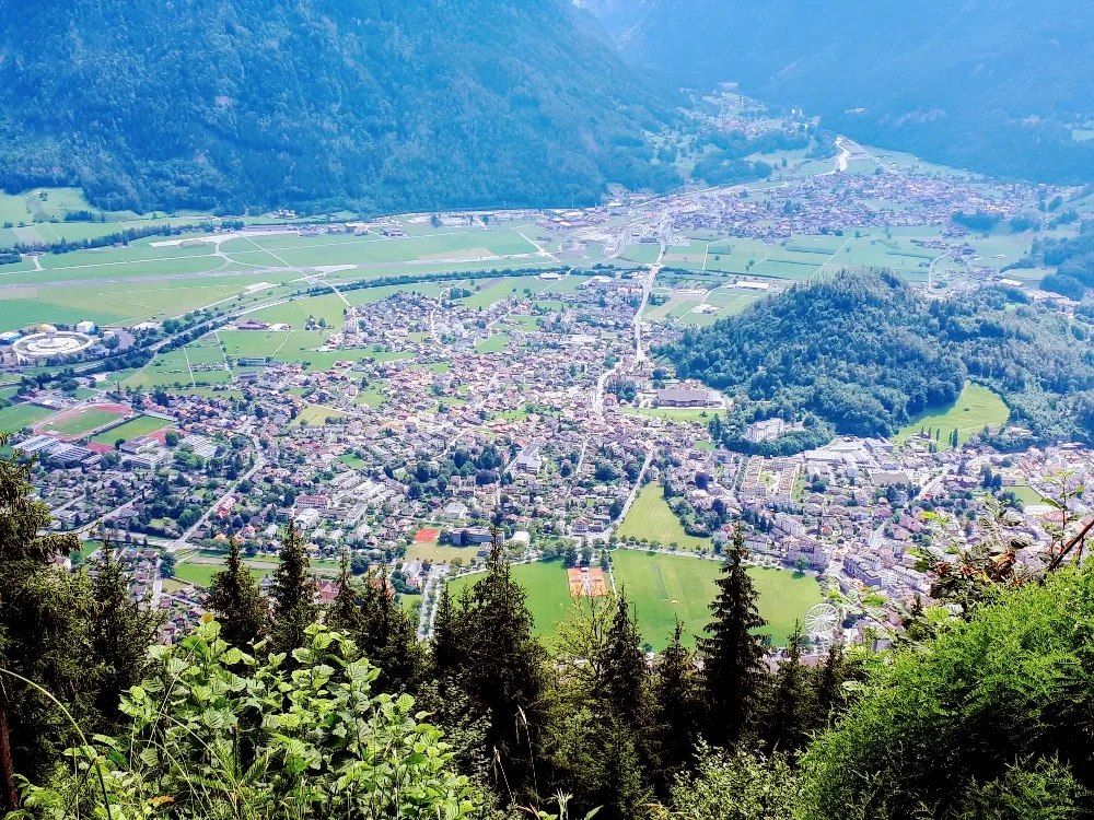
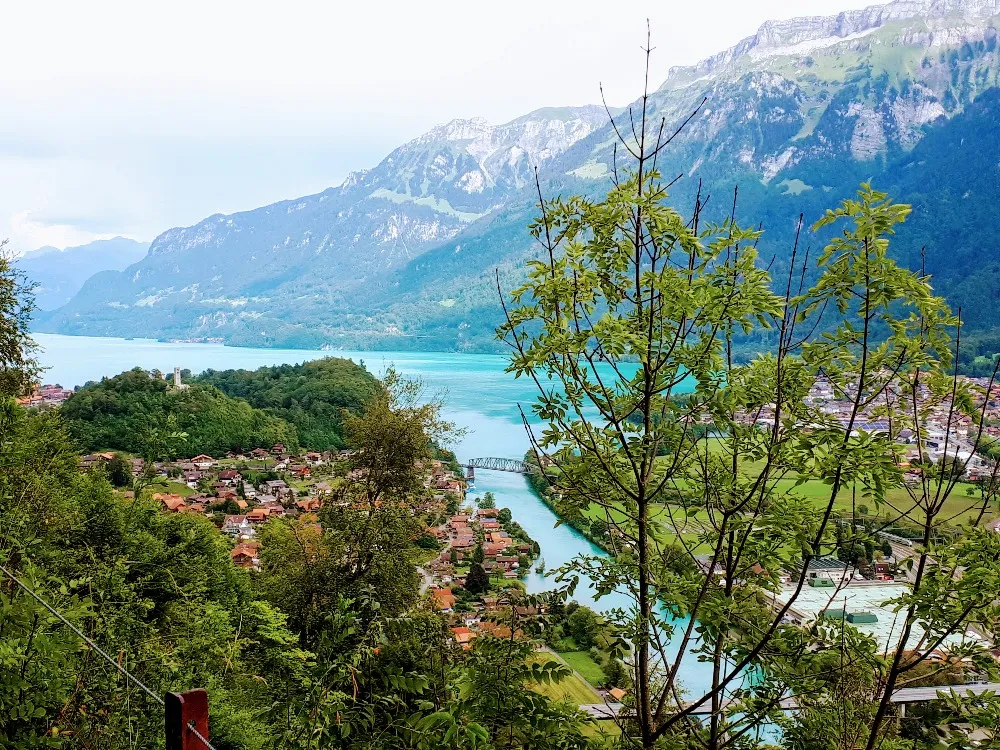
From here we got some great views of Lake Brienz.
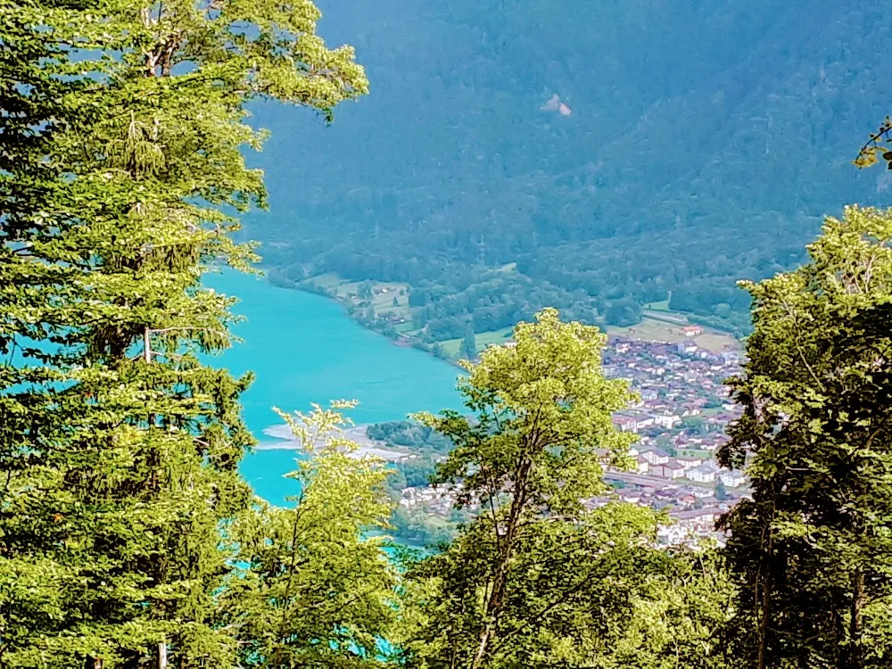
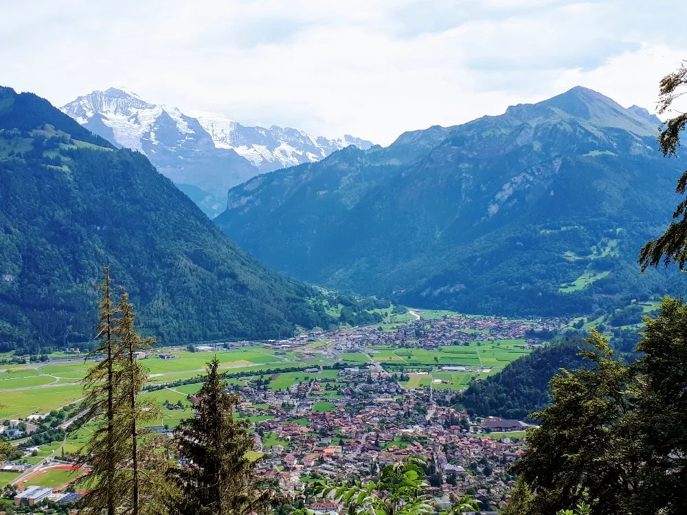
A large canal (or maybe it would be considered a river?) comes off the lake and snakes its way through the towns of Interlaken and Unterseen. It eventually makes its way to the adjacent lake on the other side of town.
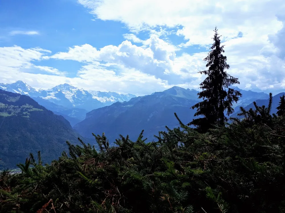
Some snow capped mountains in the distance. In that direction, located somewhere in the valley, are the towns of Grindelwald and Lauterbrunnen.
Even though we were going down hill the hike itself was quite challenging. The path was mostly smooth but the steady slope did a number on our shins, ankles, and knees over the 2 hour duration. It didn't help that we were carrying a 9 kg dog in a backpack for most of the way. Luckily he was able to walk the last quarter of the hike when the path opened up a bit wider.
Though we tend to do a lot of walking on our trips, we haven't had the opportunity to do a lot of hilly mountain hikes, so I will admit that we were really feeling it by the end of the descent.
Around 4 pm or so we arrived at the bottom of the mountain. The path came out at the tram station, exactly where we started our journey. From there we headed into the town and bought a much deserved ice cream. Here I discovered a magical new flavor called egg and cognac. I told my wife this was the new bench mark flavor that all other ice creams will be judged upon from here on out. Its a high that I will surely be chasing for a long time to come. Egg and cognac - its like eggnog and rum only 100 times more delicious.
That's it for Harder Kulm. Thanks for Reading. The next stop will be Aaer Gorge.
If you are interested in seeing more of the beautiful country of Switzerland I will be posting about the rest of our trip over the next few days. For the previous post click the link below.