With the aim of challenging myself more and more, during my stay in the province of San Juan I decided to do all the trekking that was within my reach. For us who live in the city, being surrounded by mountains from time to time is a real treat, so I wanted to spend most of my time seeing these types of landscapes. After having made several walks in the surroundings, my hostel companion, who recommended the walks, "enabled" us to do one of the longest treks in the area, and of course I wanted to be there to show myself that I could get to complete it ❤️.
Con el objetivo de desafiarme cada vez más a mí misma, durante mi estadía en la provincia de San Juan me propuse realizar todos los trekkings que estuvieran a mi alcance. Para nosotros que vivimos en la ciudad, estar rodeados de montañas de vez en cuando es todo un provilegio, así que quería pasar la mayor parte de mi tiempo viendo este tipo de paisajes. Después de haber realizado varias caminatas por los alrededores, mi compañera del hostel, quién nos recomendaba los paseos, nos "habilitó" a realizar uno de los trekkings más largos de la zona, y por supuesto que yo ahí quería estar, para demostrarme que podía llegar a completarlo ❤️.
Since my hostel partner had already visited San Juan several times, she already knew almost all the paths to follow. She was in charge of suggesting (but without join us) hikes for us in order of increasing difficulty, so that our body could get used to the demands of the climbs and long distances. When she finally noticed that our physical condition was capable of withstanding the climbs and physical effort well, she recommended that we do one of the most emblematic treks in the area: crossing from Zonda (red mark) to Ullum (blue mark), walking over of the mountains. This walk can be done in either direction, and the good thing is that at both ends you have public transportation to the city, which makes it a one-way route ❤️.
Como mi compañera ya había visitado San Juan varias veces, ya conocía casi todos los caminos a seguir. Ella se encargó de proponernos (pero no acompañarnos) caminatas en orden de dificultad ascendente, para que nuestro cuerpo se acostumbrara a la exigencia de las subidas y las largas distancias. Cuando al fin notó que nuestro estado físico era capaz de soportar bien las subidas y el esfuerzo físico, nos recomendó hacer uno de los trekkings más emblemáticos de la zona: cruzar desde Zonda (marca roja) hasta Ullum (marca azul), caminando por encima de las sierras. Esta caminata puede hacerse en cualquiera de los dos sentidos, y lo bueno es que en ambos extremos tenes transporte público hacia la ciudad, lo que lo hace una ruta unidireccional ❤️.
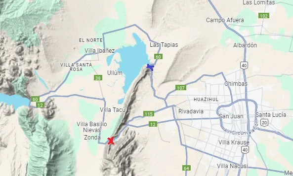
Trail to complete in the trek from Zonda to Ullum.
Sendero a completar en el trekking desde Zonda hasta Ullum.
The initial information they had given us about this trek was that it would take us about 6 hours to complete, a time that my companions and I thought we would spend without problems. They also recommended that we start early in the morning on a day without much wind, since walking completely on the top could be dangerous. In addition to bringing plenty of cold water, we also had to bring plenty of sunscreen and enough food to last those supposed six hours. I must say that we did everything except bringing a lot of food, since we underestimated the effort it would take us to complete this section and we didn't have as many snacks, but we still survived 😅.
Los datos iniciales que nos habían dado sobre este trekking era que tardaríamos unas 6 horas en completarlo, un tiempo que mis compañeros y yo pensamos que pasaríamos sin problemas. También nos recomendaron empezar temprano en la mañana en un día sin tanto viento, ya que al caminar completamente en la cima esto podía ser peligroso. Además de llevar bastante agua fría, también tuvimos que llevar mucho protector solar y comida suficiente para aguantar en esas supuestas seis horas. Debo decir que cumplimos con todo, salvo con lo de llevar mucha comida, ya que subestimamos el esfuerzo que nos llevaría completar este tramo y no tuvimos tantos refrigerios, pero igual sobrevivimos 😅.
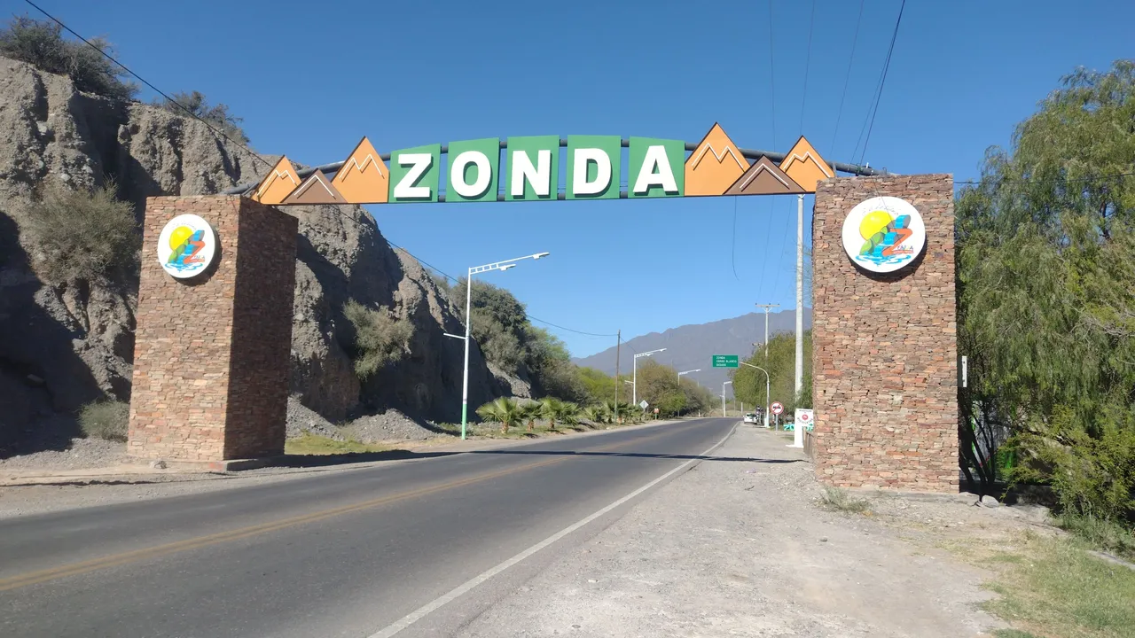
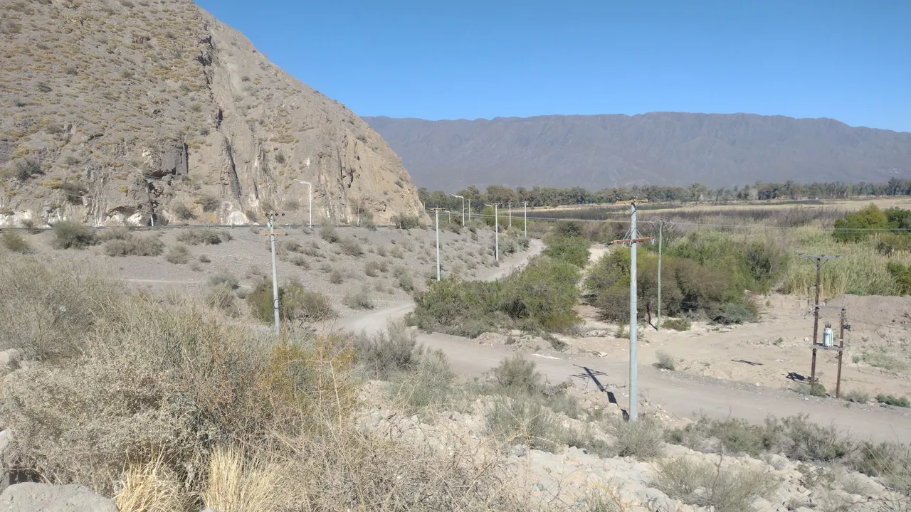
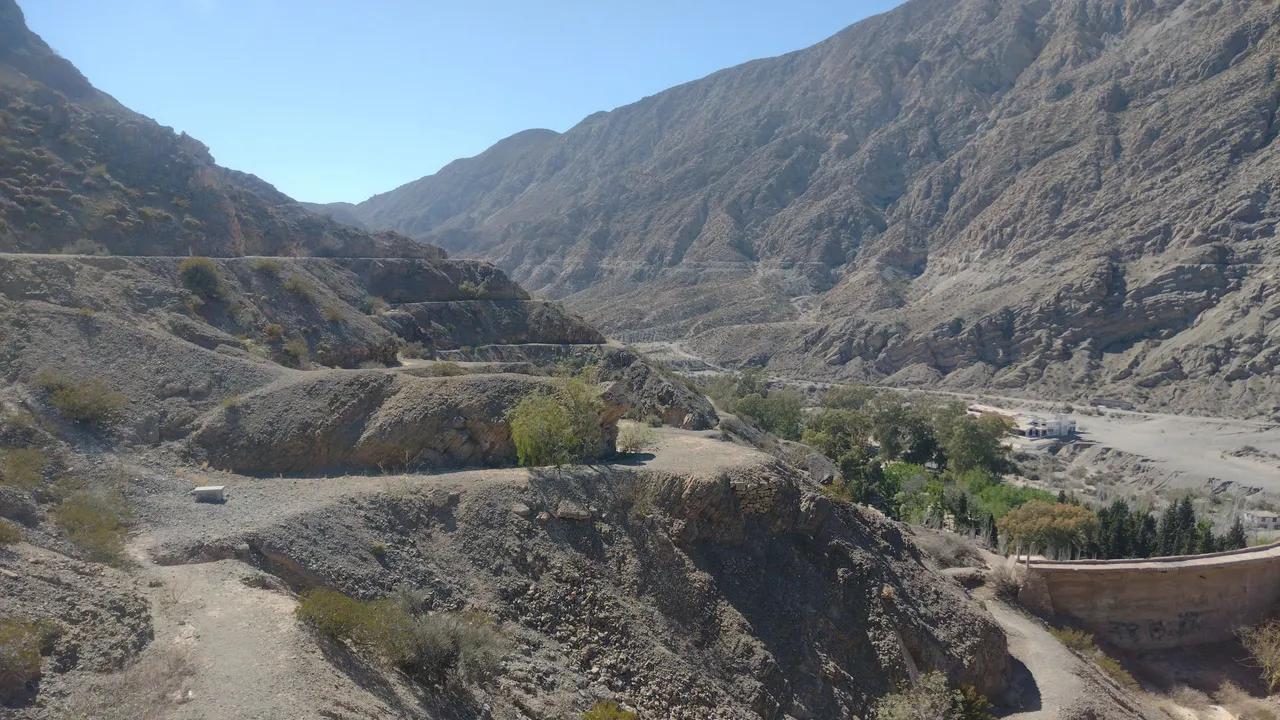
The beginning of the trail was from the Zonda area, where we arrived by bus around 10 AM. In previous days we had already been there so we knew the first part well: to go to the beginning you must climb the same as to go to see the head of the Indian, only instead of To follow a civilized path, you must climb a little to the top 😅.
El inicio del sendero se hacía desde la zona de Zonda, en donde llegamos en colectivo alrededor de las 10 AM. En días anteriores ya habíamos estado ahí así que conocíamos bien la primera parte: para ir hasta el comienzo se debe ascender igual que para ir a ver la cabeza del indio, solo que en lugar de seguir un sendero civilizado, se debe trepar un poco hasta lo más alto 😅.
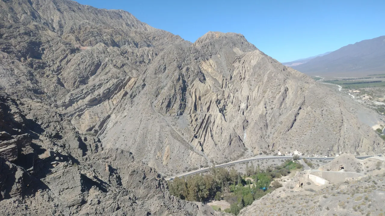
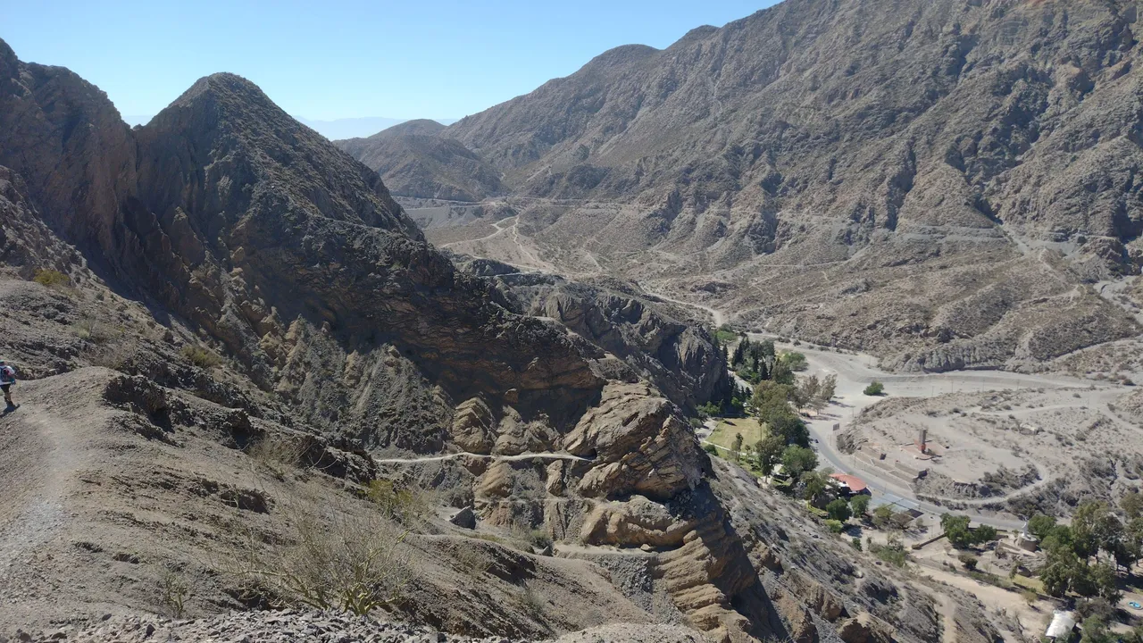
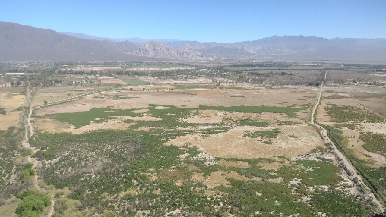
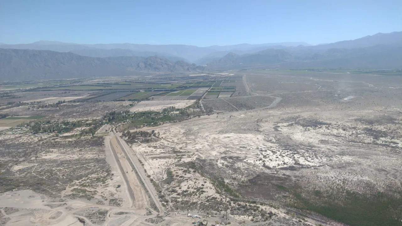
As we went up, we were able to get some great views of the Zonda Valley, with its olive and grape plantations. There were also some vacation houses around and a few other wineries, but preserving plenty of green space in the place. Behind everything we could see the other great mountainous area of this place: the Sierras Azules ❤️.
A medida que íbamos subiendo, pudimos obtener unas grandiosas vistas del Valle de Zonda, con sus plantaciones de olivos y uvas. También habían algunas casas de vacaciones por ahí y otras cuantas bodegas, pero conservando bastante espacio verde en el lugar. Atrás de todo podíamos ver la otra gran zona montañosa de este lugar: las Sierras Azules ❤️.
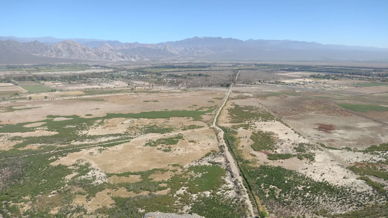
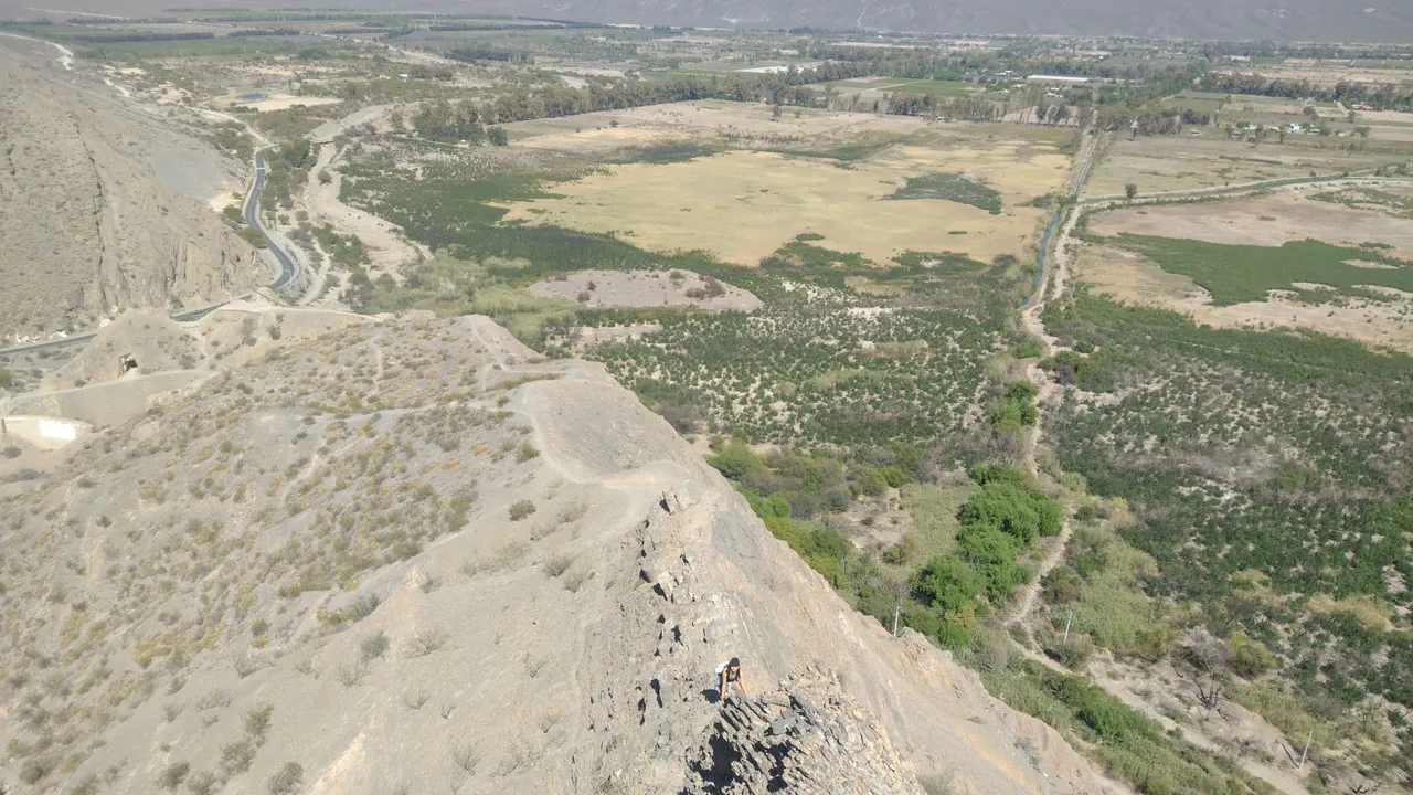
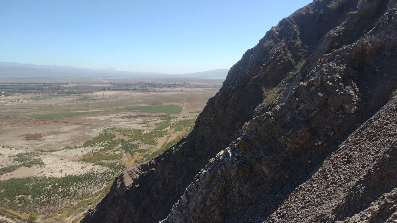
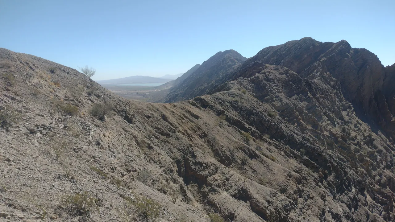
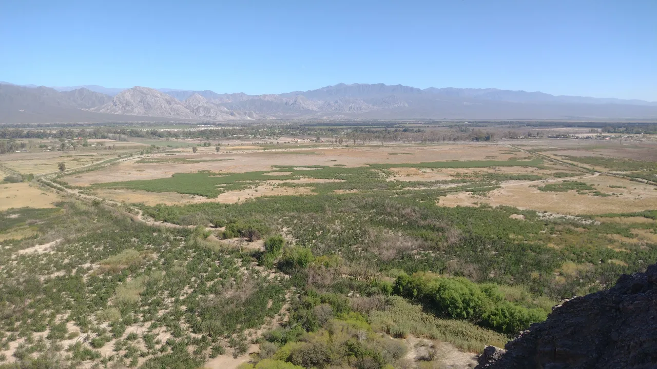
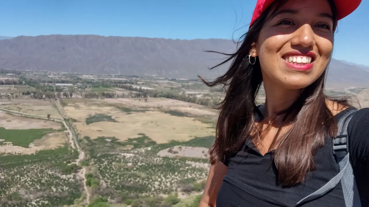
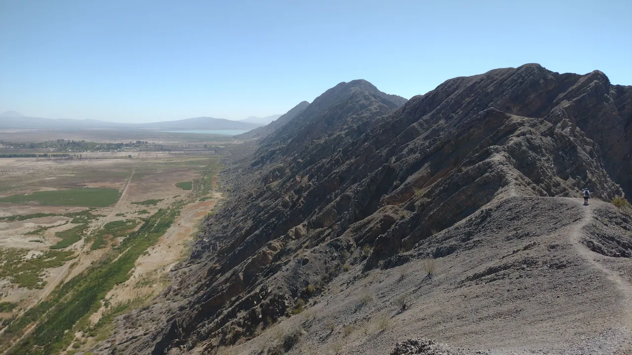
Once we crossed the first part of this path, which we had to climb using our arms and legs, we found a well-marked and seemingly easy trail. As we chose to go early, the sun was reaching its highest point so we had all the light available to see, knowing that we had to walk in the direction of the dam. From up there we could see what we had already seen in previous days, such as the abandoned racetrack, the abandoned hotel and also the municipal field ❤️.
Una vez que cruzamos la primera parte de este camino, para la cual tuvimos que treparnos usando nuestros brazos y piernas, nos encontramos con un sendero bien marcado y aparentemente fácil. Como elegimos ir temprano, el sol estaba llegando a su punto más alto así que teniamos toda la luz disponible para ver, sabiendo que teníamos que caminar en dirección al dique. Desde ahí arriba pudimos ver lo que ya habíamos visto en días anteriores, como el autódromo abandonado, el hotel abandonado y también el campo municipal ❤️.
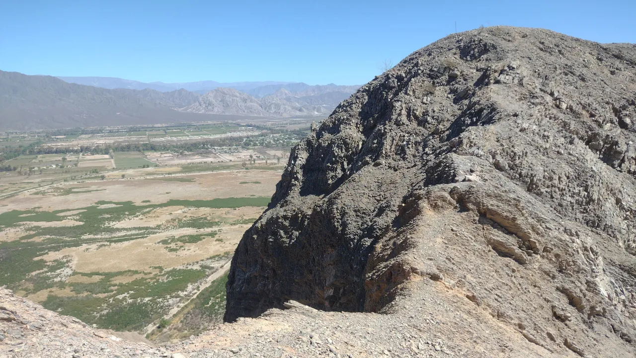
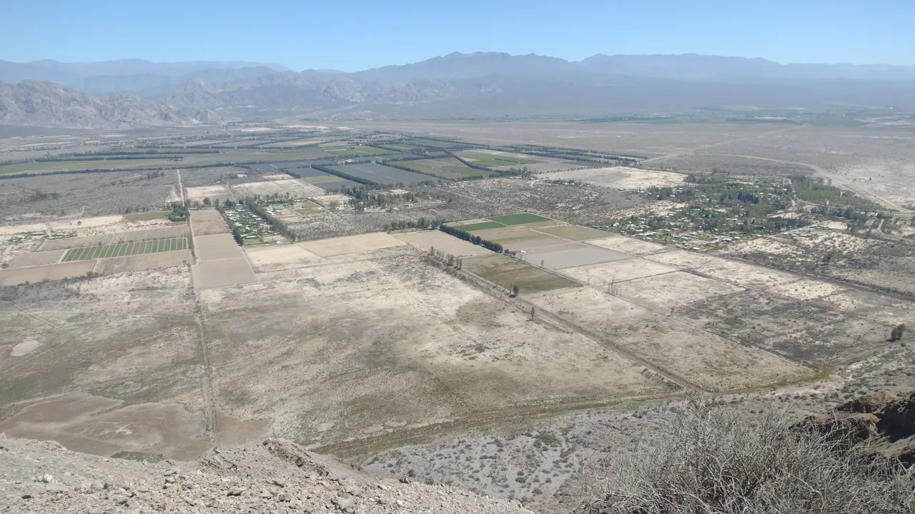
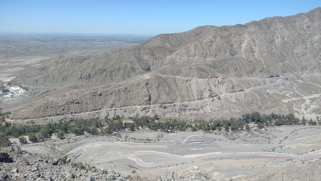
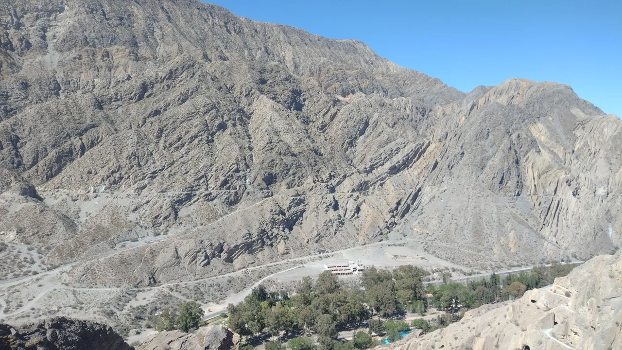
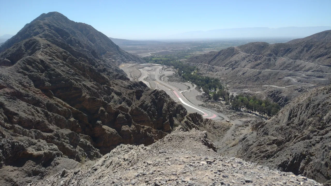
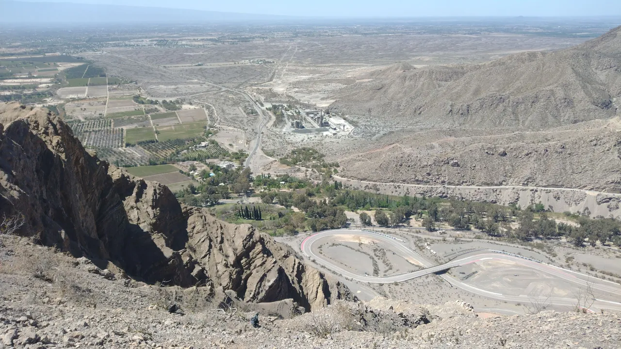
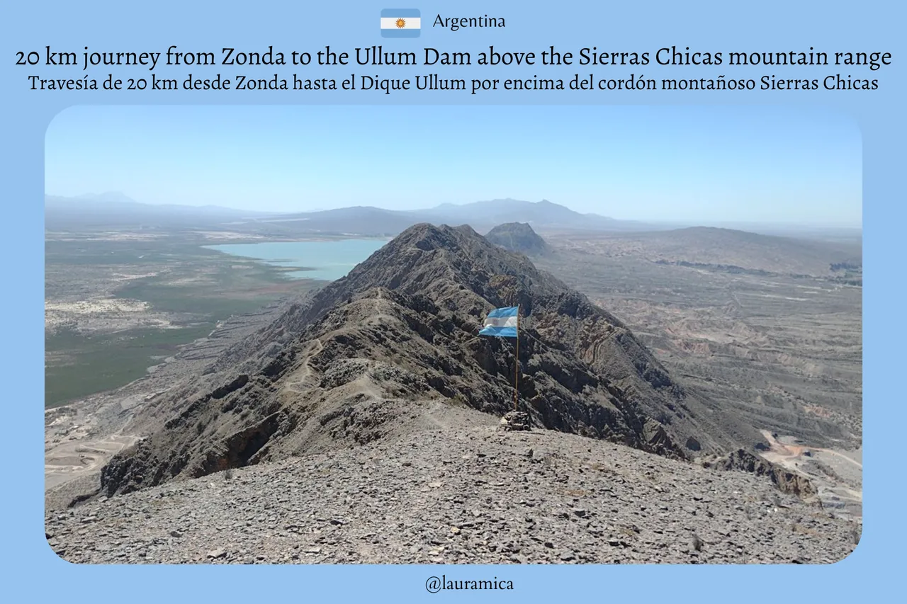
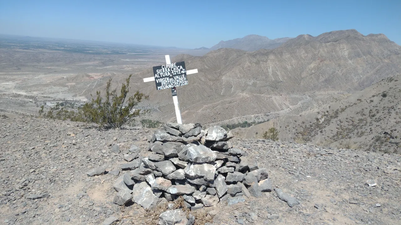
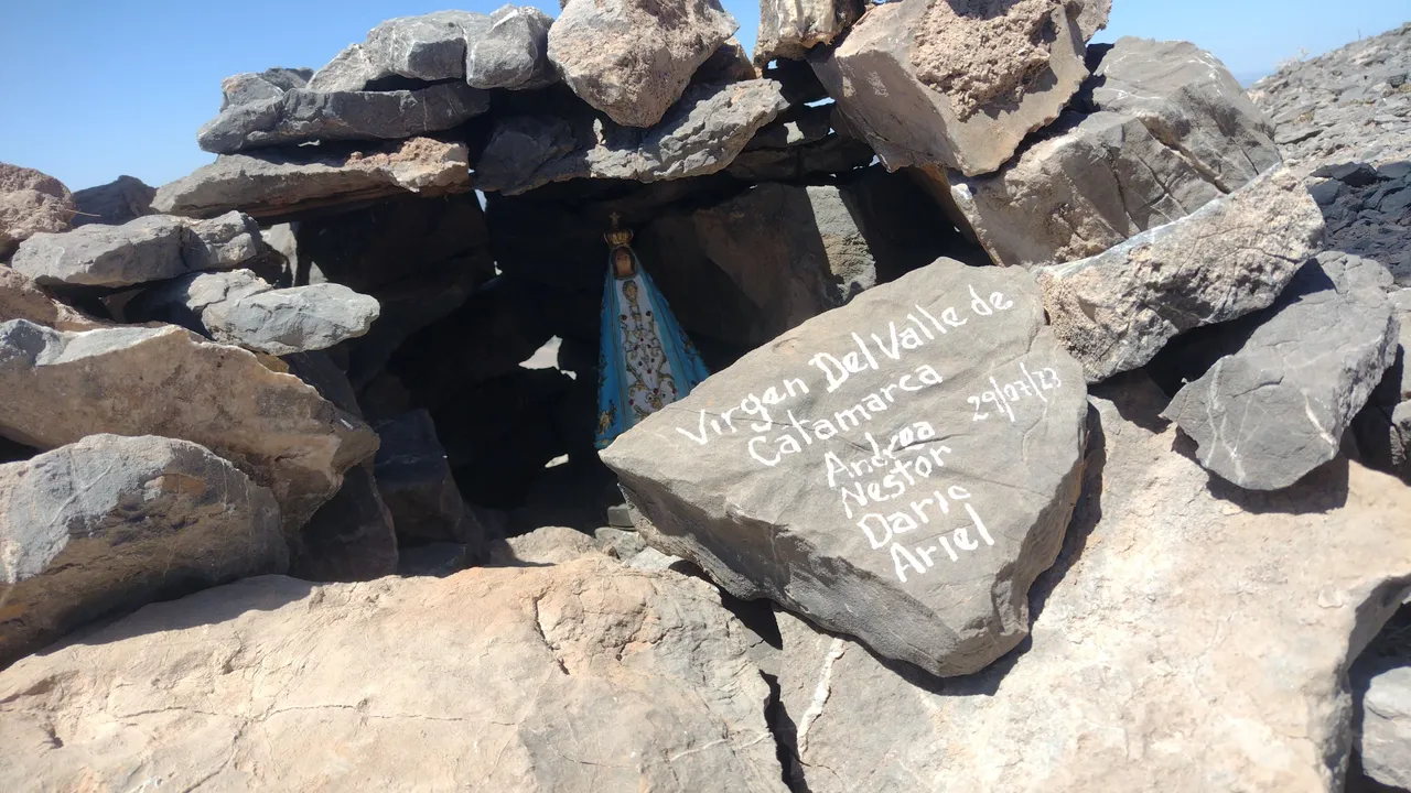
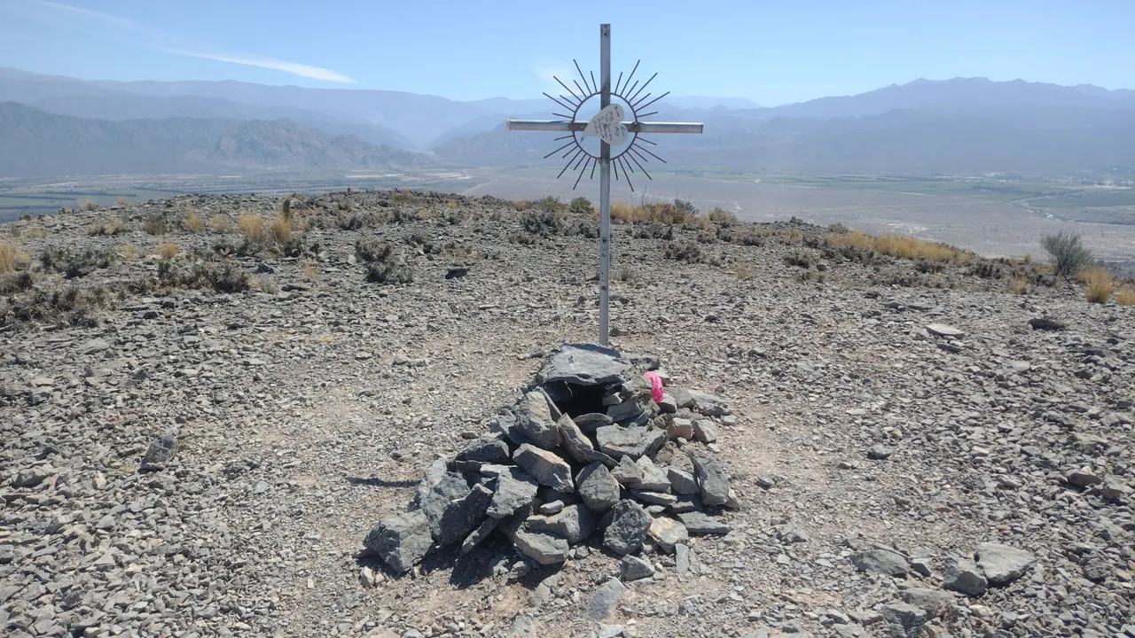
An hour and a half after starting to walk, we find the highest peak of these mountains. At only 1110 meters above sea level, this place offered a great panoramic view of the valley and its surroundings. To symbolically mark this place, there was a cross and a grotto, so it was impossible to miss it. It was also a place to sit and rest and eat our humble lunch, since there were no traces of what we had had for breakfast 😅.
Una hora y media después de haber empezado a caminar, nos encontramos con el pico más alto de estas sierras. A tan solo 1110 msnm, este lugar ofrecía una gran vista panorámica del valle y sus alrededores. Para marcar simbólicamente este lugar, había una cruz y una gruta, así que imposible perderselo. También fue un lugar para sentarse a descansar y comer nuestro humilde almuerzo, ya que de lo que habíamos desayunado no quedaban ni rastros 😅.
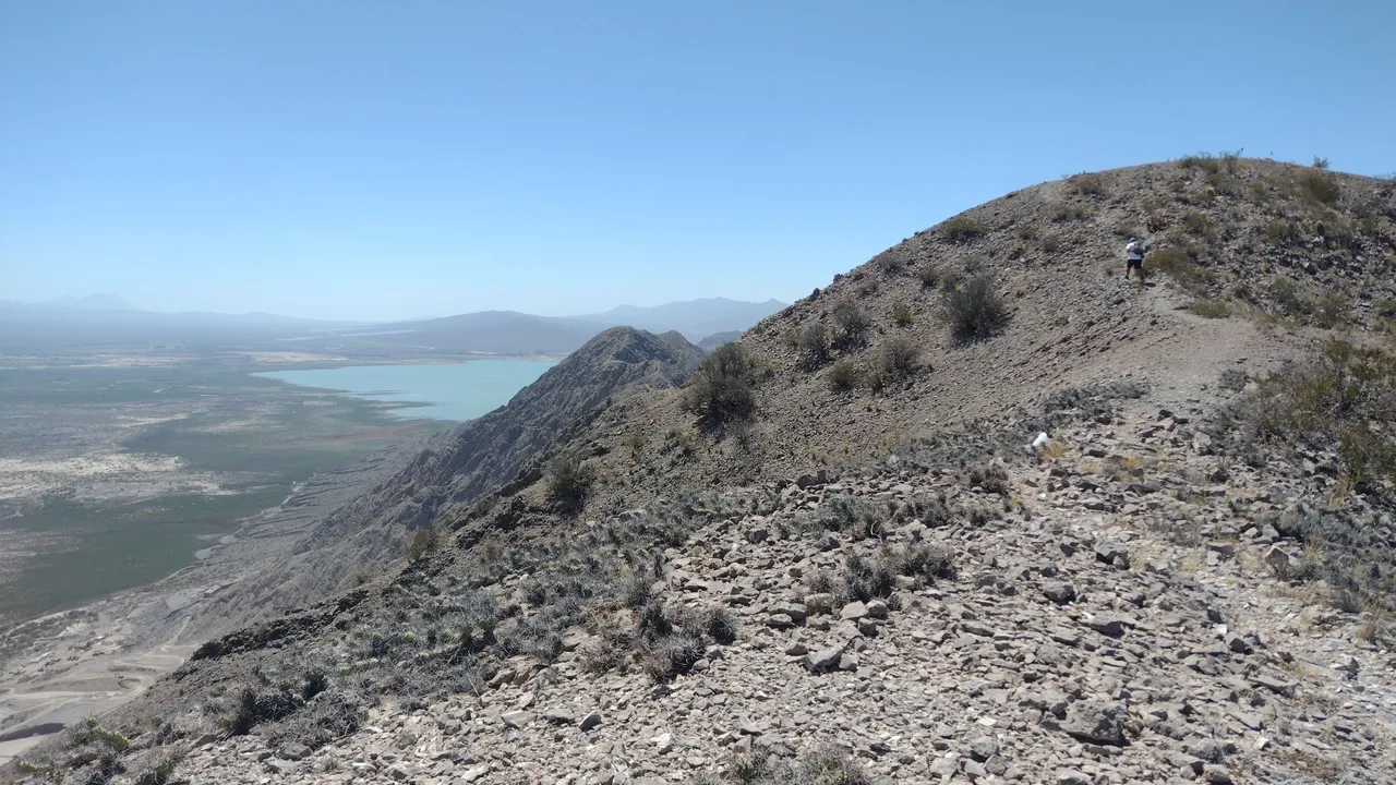
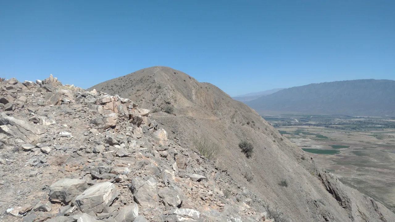
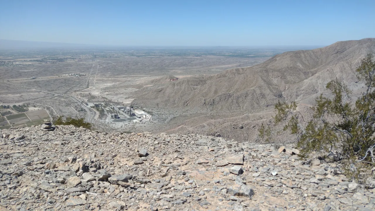
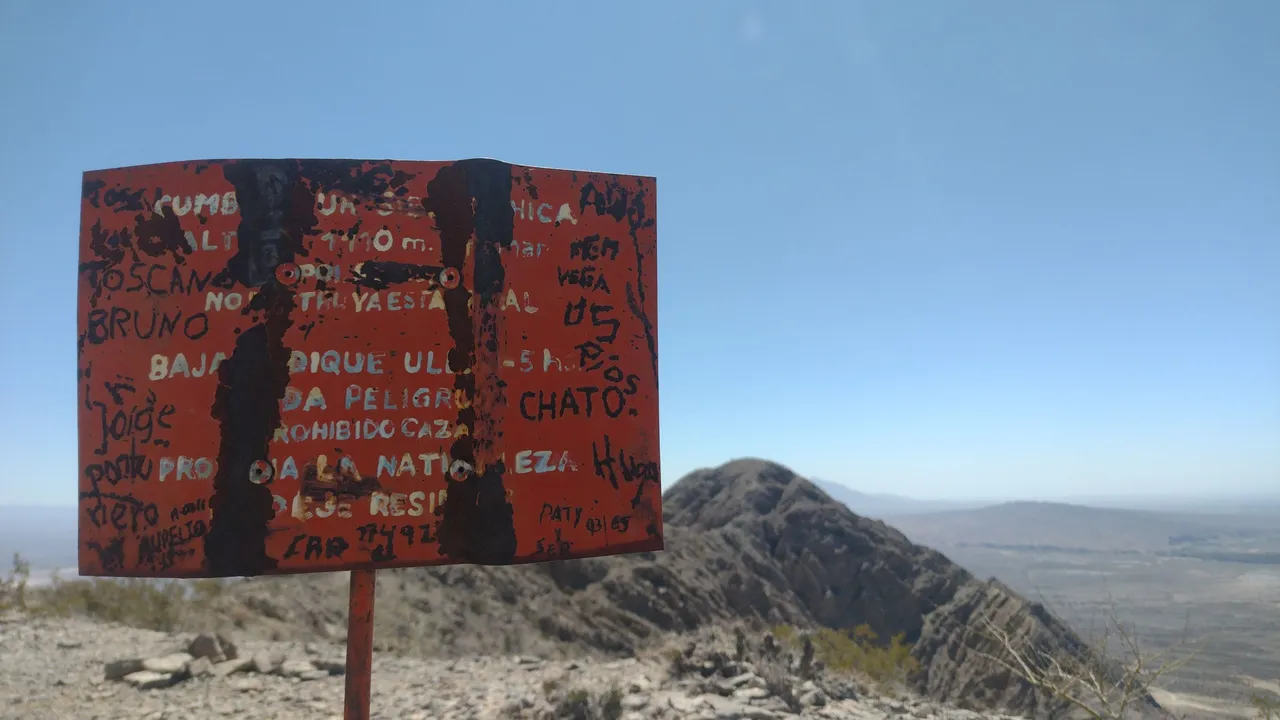
It was at this first peak where we saw a sign indicating that the descent to Ullum would take about 5 hours. Becoming professional trekkers, we thought that it would take us much less time to travel this section, since from up there we could already see the dam and "it didn't seem to be that far away" 😅.
Fue en este primer pico donde vimos un cartel que indicaba que la bajada hasta Ullum tomaría unas 5 horas. Haciéndonos los trekkinistas profesionales, pensamos en que tardíamos mucho menos en recorrer este tramo, ya que desde ahí arriba ya podíamos visualizar el dique y "no parecía estar tan lejos" 😅.
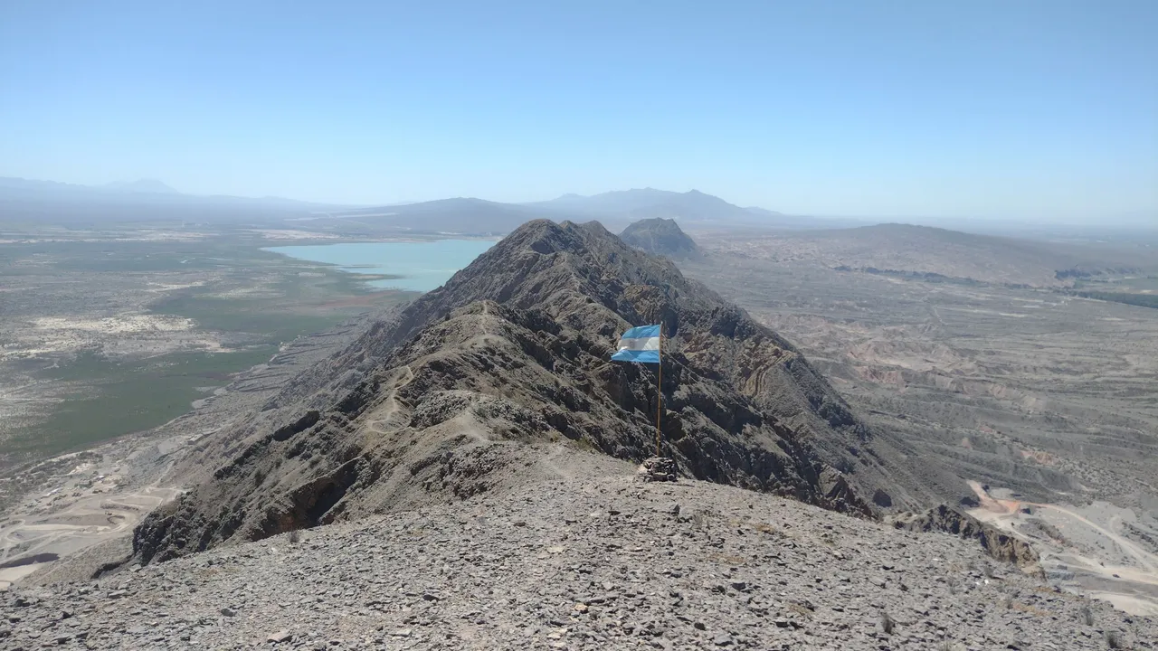
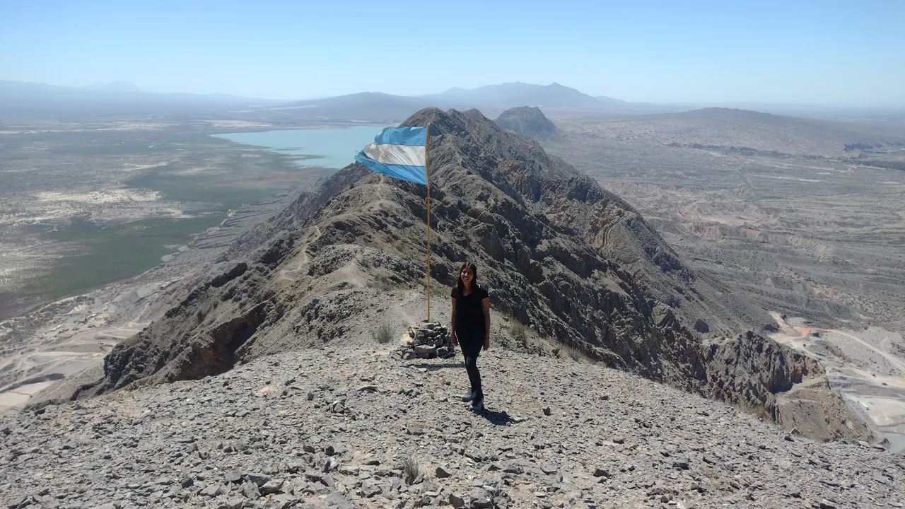
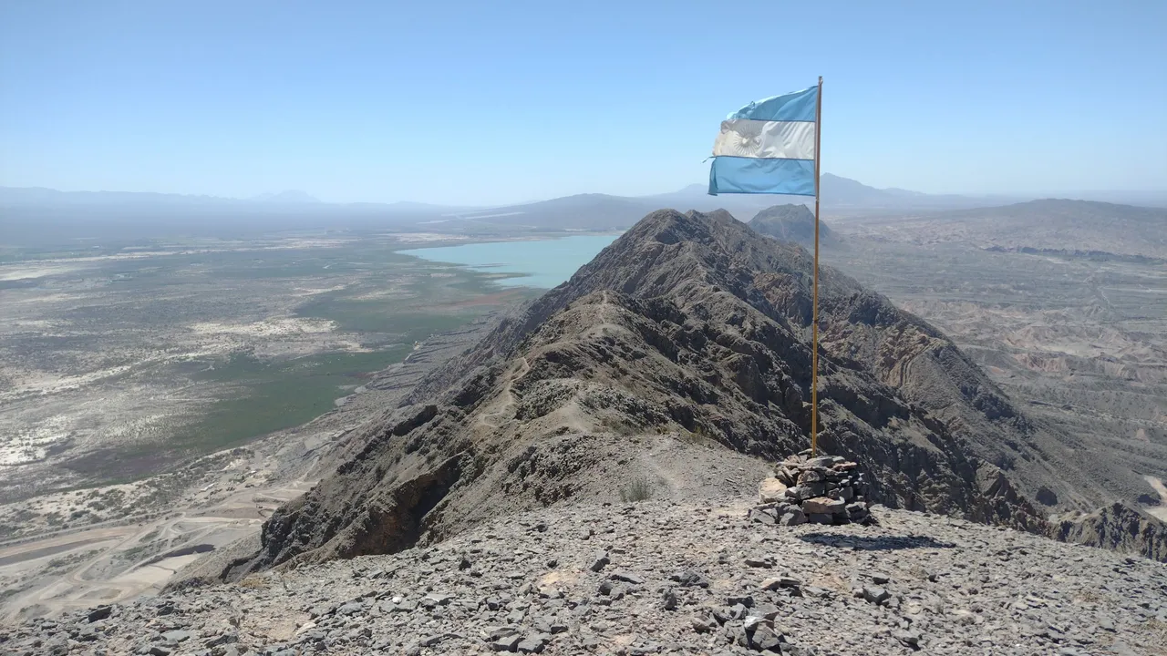
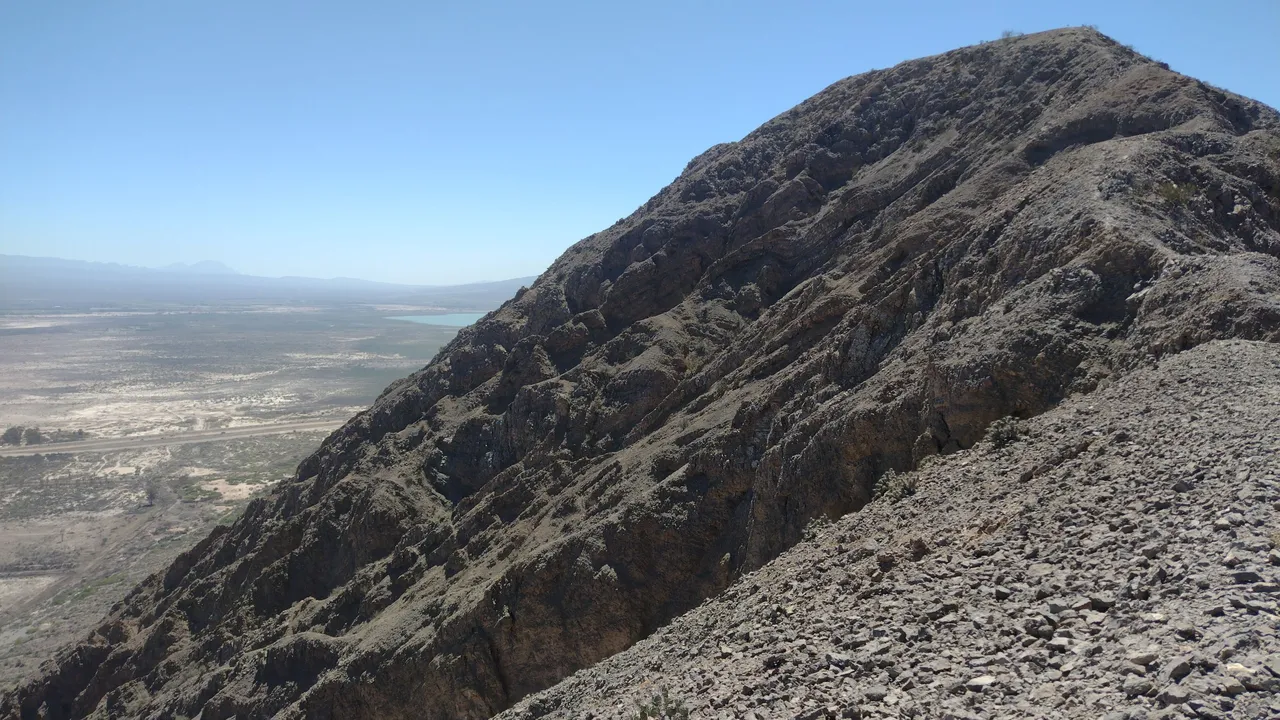
Well, this assessment of "not being that far from the dam" was correct if we looked in a straight line, but we found ourselves walking over some mountain ranges that went up and down all the time. So, this journey was like climbing small hills over and over again, where of course we needed stops to rest and regain strength in our legs 😅.
Bueno, esta apreciación de "no estar tan lejos del dique" era correcta si mirábamos en línea recta, pero nos encontrábamos caminando sobre unas sierras que subían y bajaban todo el tiempo. Entonces, esta travesía fue como subir a pequeños cerros una y otra vez, en los que por supuesto necesitamos paradas para descansar y recuperar fuerza en las piernas 😅.
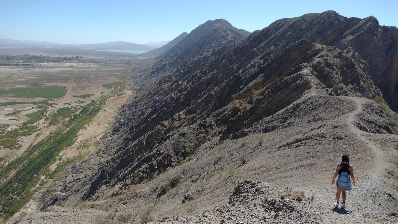
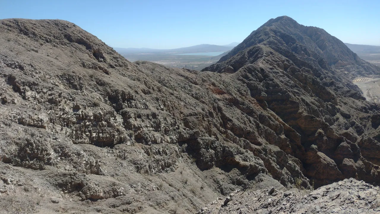
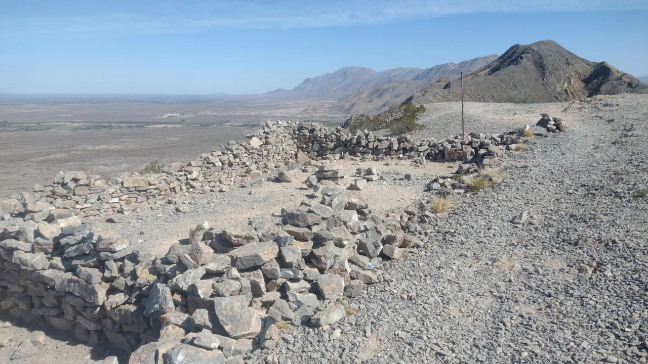
It would be around 3 PM when we finally reached what my hostel companion pointed out as "the halfway point." This place was easily distinguishable because we would find some stone shelters against the wind. These constructions serve as protection for those who choose to spend the night here, or in case you are caught by the gusts at that time. Luckily, the weather was beautiful and none of that was necessary ❣️.
Serían alrededor de las 3 PM cuando al fin llegamos a lo que mi compañera del hostel señaló como "la mitad del camino". Este lugar era fácilmente distinguible porque encontraríamos unos refugios de piedra contra el viento. Estas construcciones sirven como protección para aquellos que eligen pasar la noche acá, o en caso de que te agarren las ráfagas en ese momento. Por suerte, el clima estaba hermoso y nada de eso fue necesario ❣️.
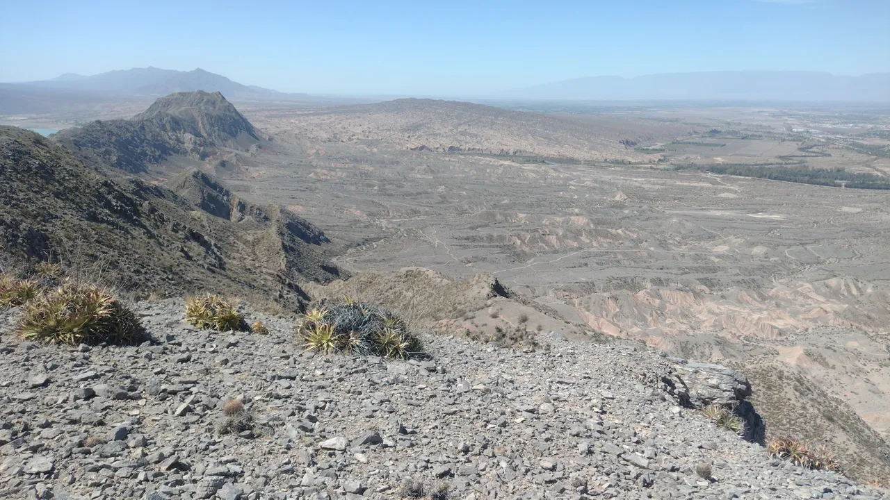
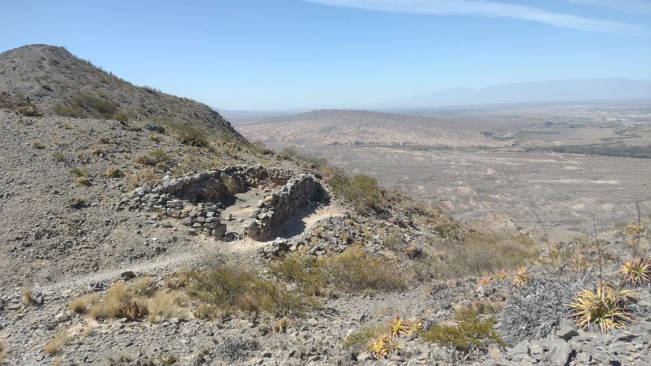
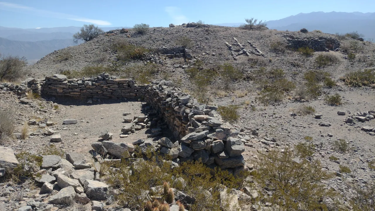
We had been walking for five hours and although the dam looked closer and closer, it already seemed that in just one hour we would not finish the entire journey as we had been told. Perhaps some hiker focused on finishing the trail will make it in that time, but with my companions we were relaxed so we took all our time, in total there was still plenty of sun ahead ❤️.
Llevabamos cinco horas de caminata y si bien el dique cada vez se veía más cerca, ya aparentaba que en solo una hora no terminaríamos todo ese recorrido como nos habían dicho. Quizás algún caminante concentrado en terminar el sendero lo logra en ese tiempo, pero con mis compañeros íbamos relajados así que nos tomamos todo nuestro tiempo, total aún quedaba bastante sol por delante ❤️.
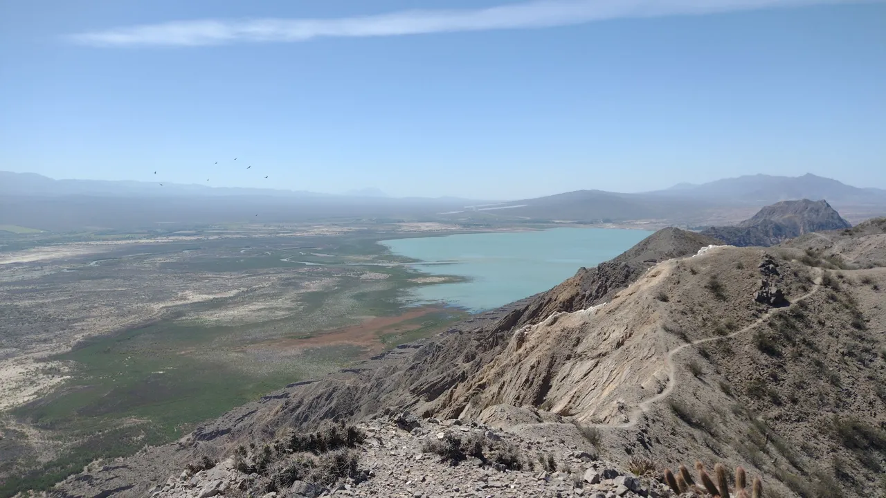
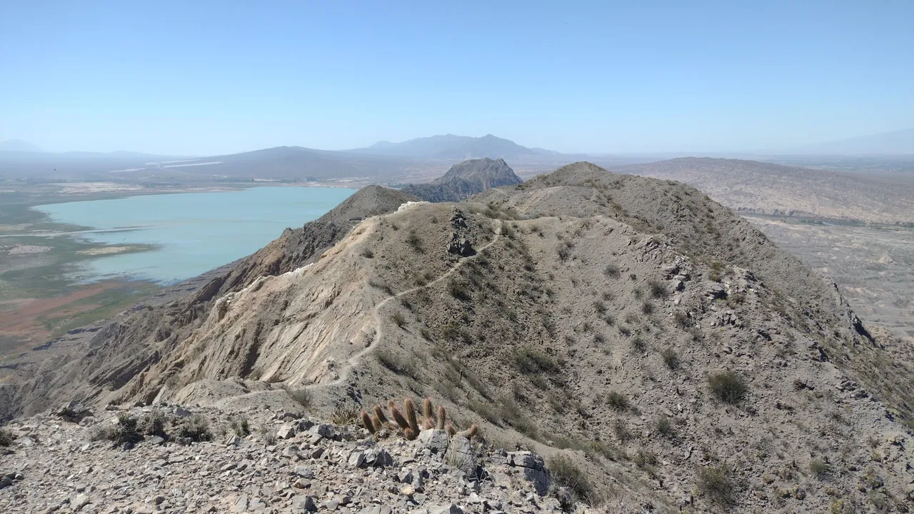
A funny anecdote from this day, which I was later able to recognize from the photos I took along the way, is that at one point we left the main path and that detour cost us more than an extra hour of walking. After a while we noticed that we were not on the correct path, but in that part the mountain had a kind of ravine and could only be crossed by going back and taking the correct path. My friends and I of course did not admit our mistake and continued walking forward, until we were able to go down in part and go up to return to the true path 😅.
Una anécdota graciosa de este día y que luego pude reconocer por las fotos que fui sacando en el camino, es que en un momento nos salimos del sendero principal y ese desvío nos costó más de una hora extra de caminata. Después de un rato notamos que no estábamos en el sendero correcto, pero en esa parte la montaña tenía una especie de quebrada y solo se podía cruzar retrocediendo y tomando el camino correcto. Mis amigos y yo por supuesto no admitimos nuestro error y seguimos caminando adelante, hasta que pudimos bajar en una parte y subir para retomar el verdadero camino 😅.
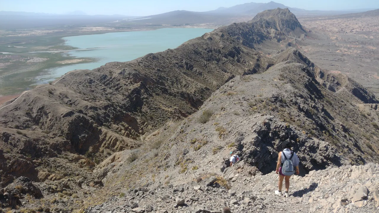
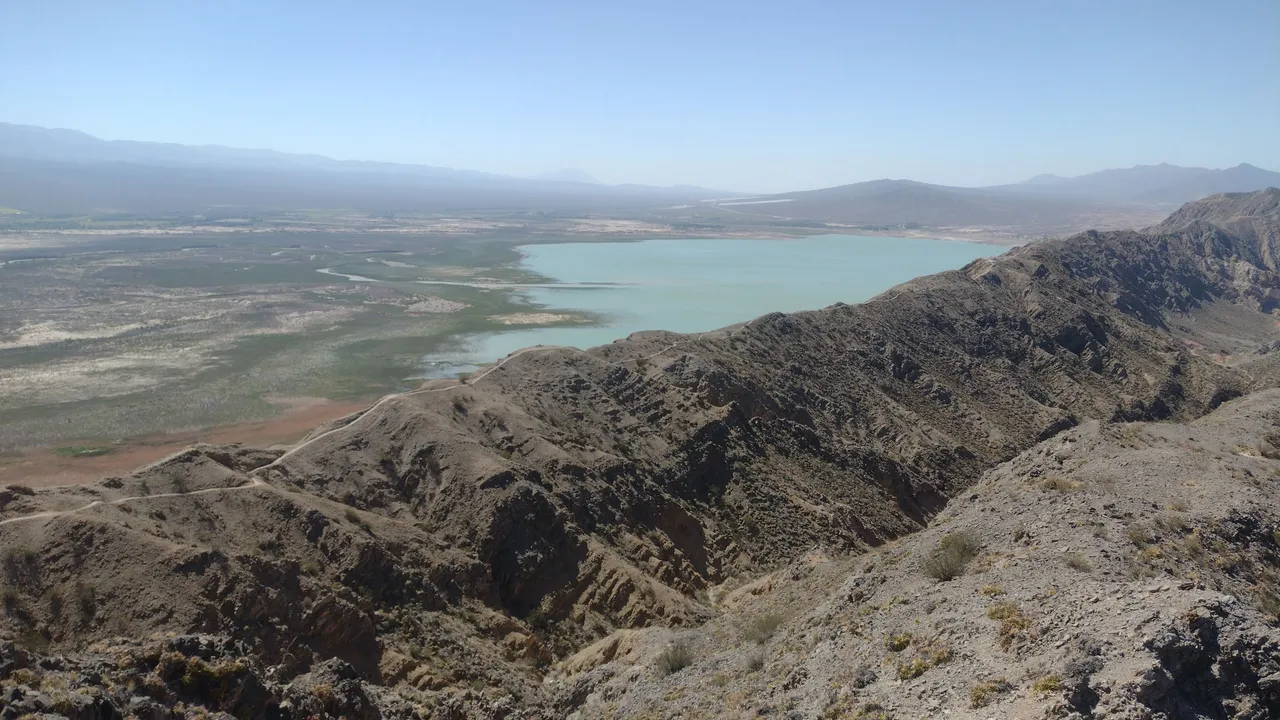
The afternoon was passing and we were still walking: we had already eaten all our provisions and the water was also running out, even though there was still a good stretch to go. At this moment we began to feel really tired, but we were so close to completing the route that that was what motivated us to continue (added to the fact that we were at the top of the mountains, who could go looking for us without making such a fuss? 😂).
Pasaba la tarde y nosotros aún seguíamos caminando: ya nos habíamos comido todos nuestras provisiones y el agua también se estaba terminando, a pesar de que aún faltaba un buen tramo. En este momento empezamos a sentir el verdadero cansancio, pero estábamos tan cerca de completar el recorrido que eso era lo que nos motivaba a seguir (sumado a que estábamos en lo alto de las sierras, quién podría ir a buscarnos sin hacer tanto escándalo? 😂).
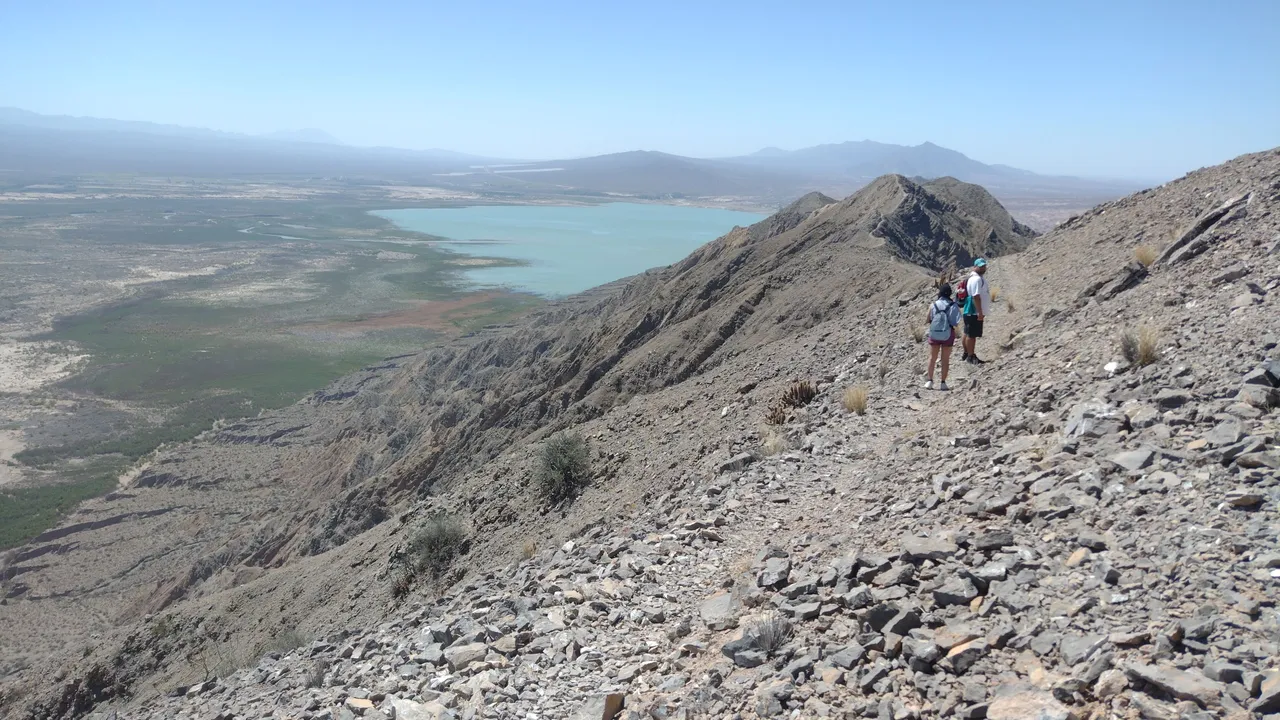
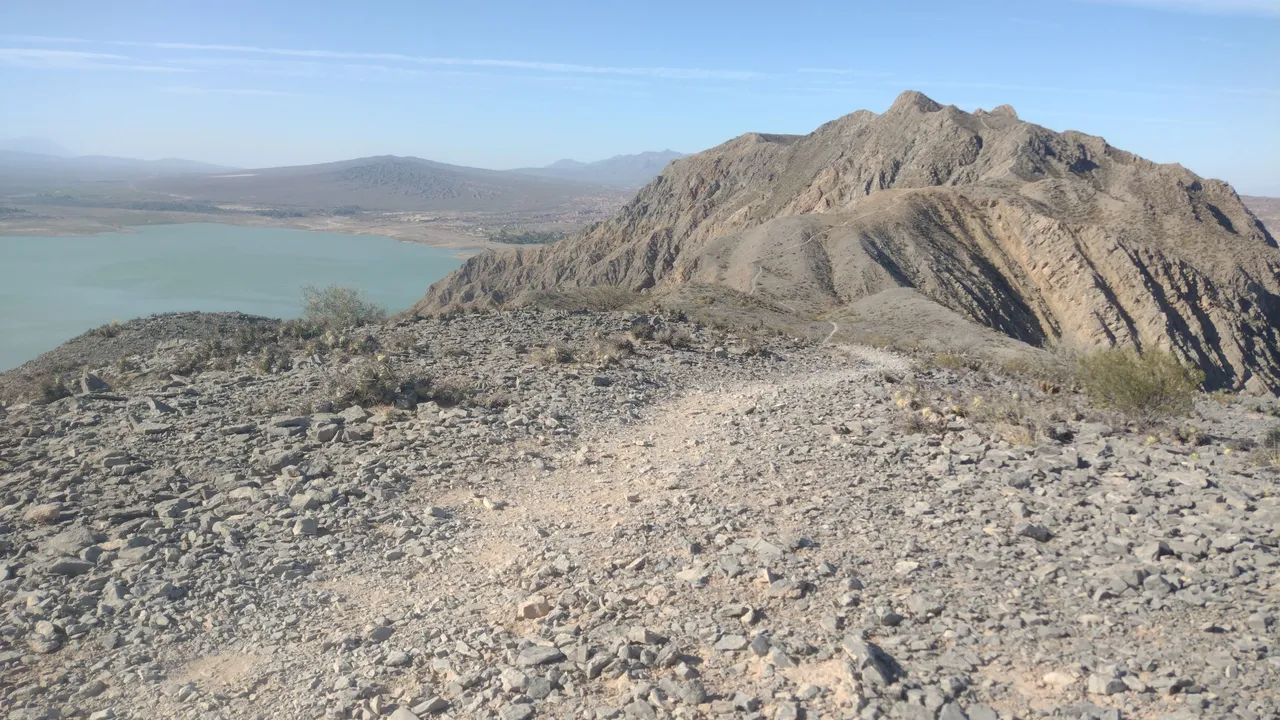
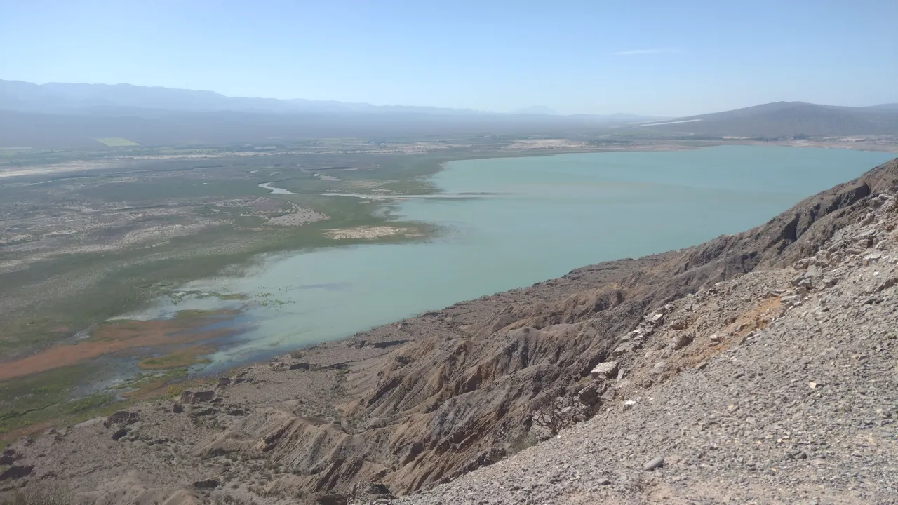
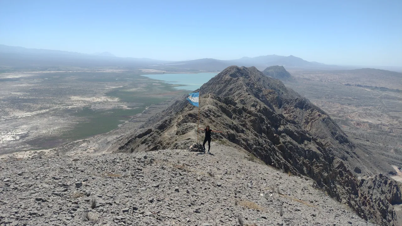
When the mountains began to change their dark color to orange, we knew that we were already very close to the Tres Marías area, which we had also visited days before. It was really crazy to think that we had already been to both ends of this path, and that at that moment we were joining them with this great challenging hike. It was undoubtedly a wonderful although exhausting experience ❤️.
Cuando las montañas empezaron a cambiar su color oscuro a anaranjado, supimos que ya estábamos muy cerca del área Tres Marías, el cuál también habíamos visitado días atrás. Fue muy loco pensar que ya habíamos estado en los dos extremos de este camino, y que en ese momento estábamos uniéndolos con esta gran caminata desafiante. Sin dudas fue una experiencia maravillosa aunque agotadora ❤️.
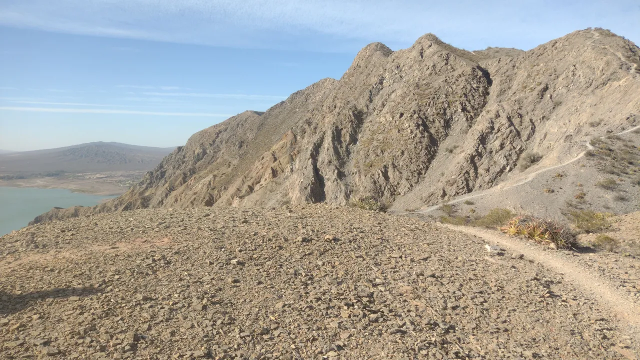
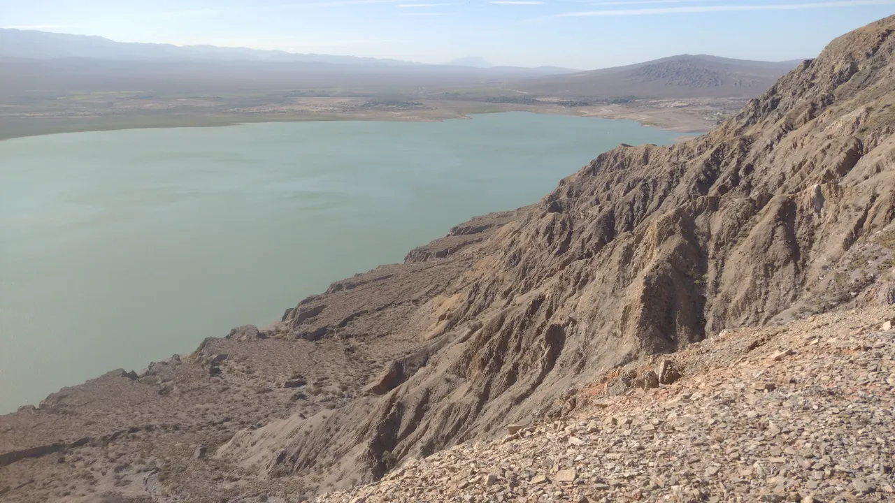
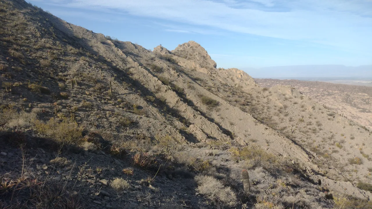
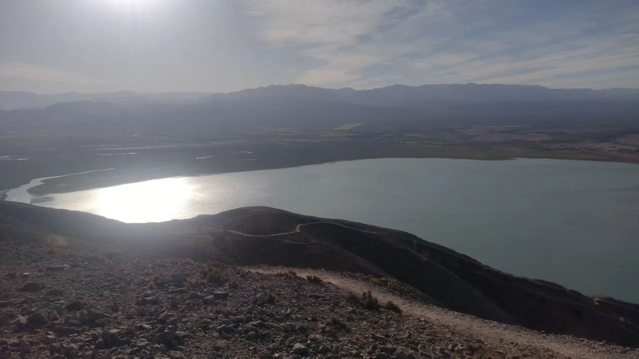
The clock was already reading past six in the afternoon when the golden hour began and we had finally reached the other end of the mountain range. What remained now was all downhill, but our legs were so tired that even that hurt. By that time we didn't have any water or food, so we were literally surviving. Although we underestimated the provisions, no one fainted along the way 😅.
El reloj ya marcaba más de las seis de la tarde cuando la hora dorada empezó y nosotros habíamos llegado al fin al otro extremo del cordón montañoso. Lo que quedaba ahora era todo bajada, pero teníamos las piernas tan cansadas que hasta eso dolía. Para ese momento ya no teníamos nada de agua ni comida, así que literalmente estábamos sobreviviendo. Si bien subestimamos las provisiones, nadie se desmayó en el camino 😅.
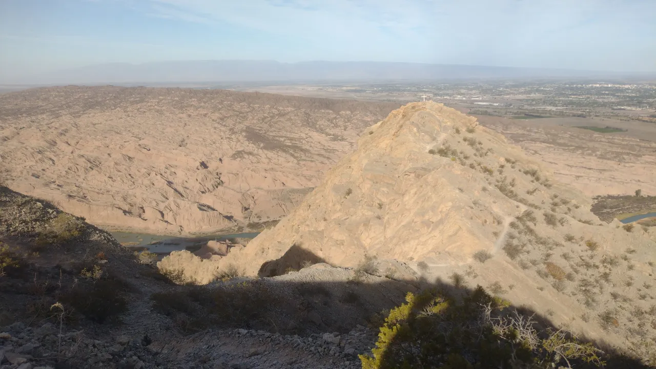
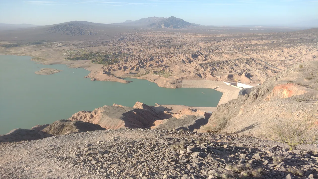
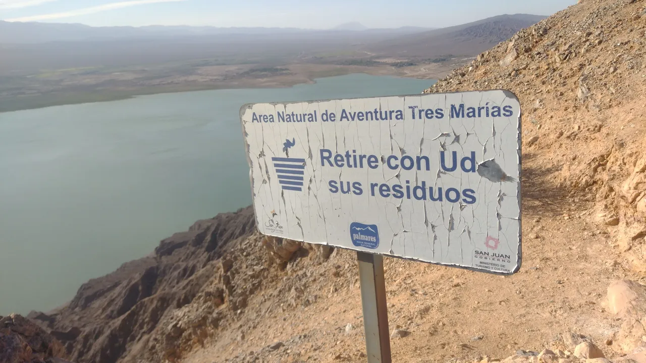
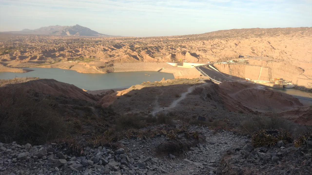
When we were finally at street level again, my companions and I hugged each other and congratulated each other on the great journey. None of us had done a trek as demanding as this: my partner set the step counter and in total we walked about 20 km. Although I had already done this distance on other walks, it was never constant up and down like this, so this walk was unique ❤️.
Cuando al fin estuvimos al nivel de la calle otra vez, mis compañeros y yo nos abrazamos y nos felicitamos mutuamente por la gran travesía. Ninguno de nosotros había hecho un trekking tan exigente como este: mi compañera puso el contador de pasos y en total caminamos unos 20 km. Si bien yo ya había hecho esta distancia en otras caminatas, nunca fue de constantes subidas y bajadas como esta, así que este paseo fue único ❤️.
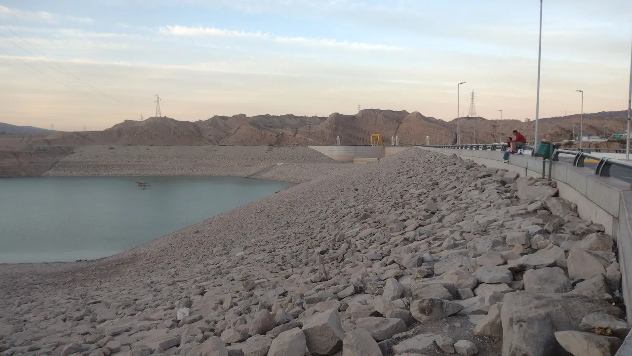
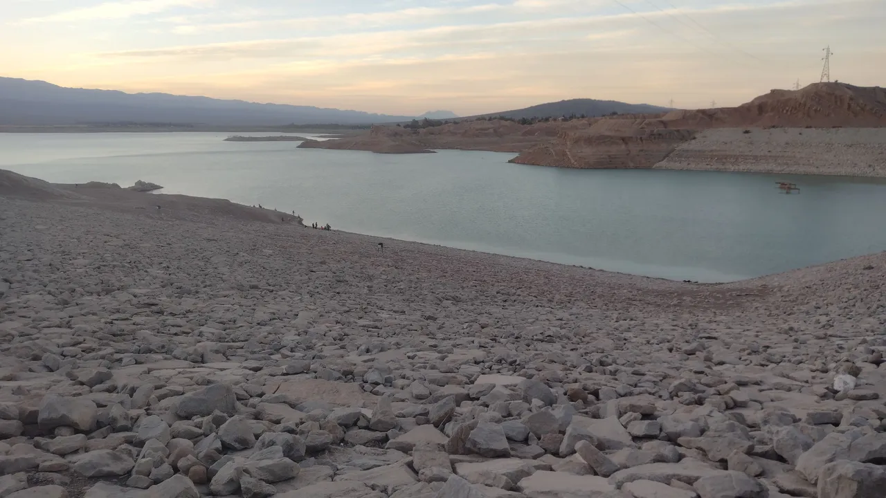
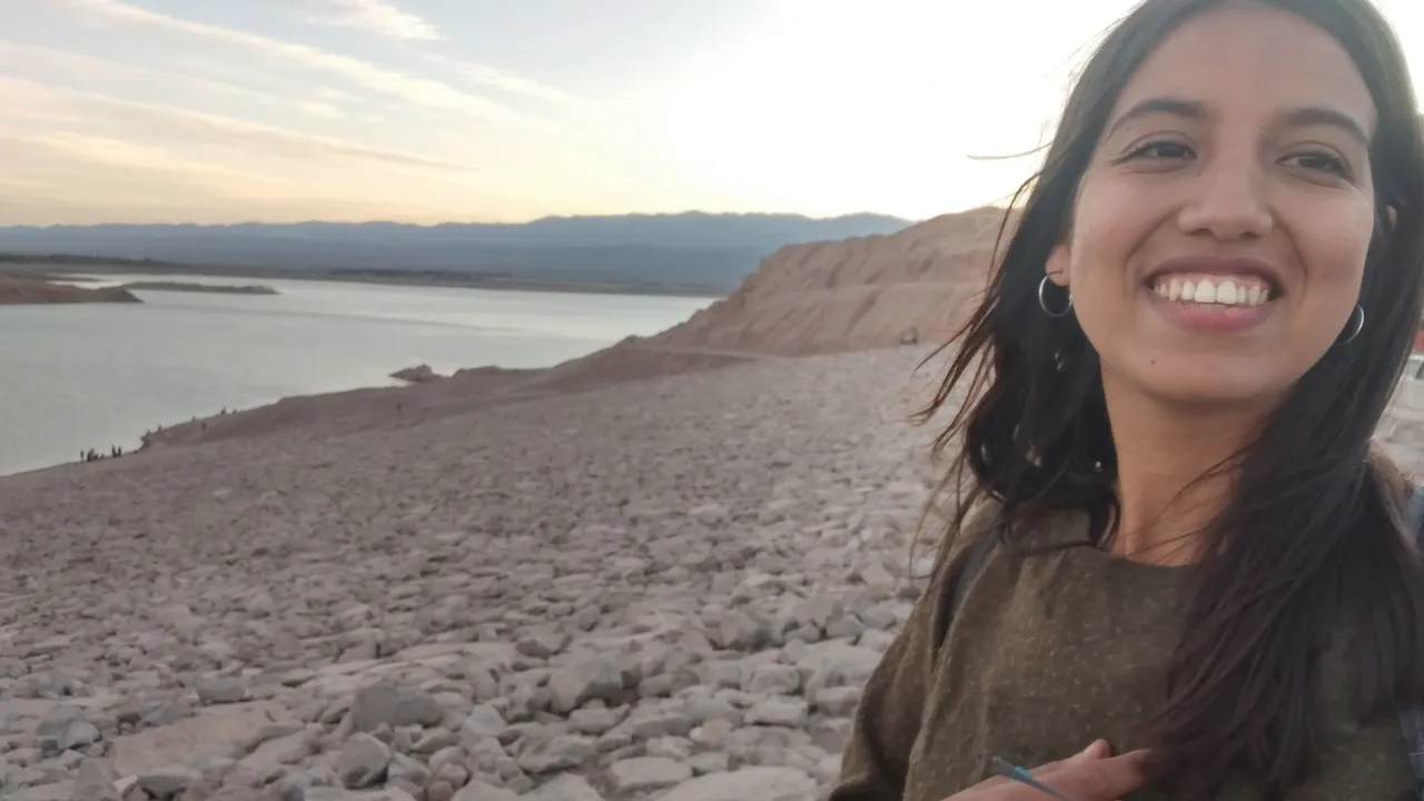
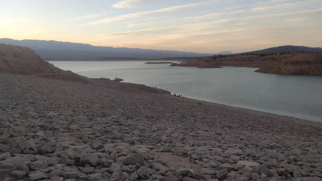
When we went down to the dam and found a stop to buy something, the first thing I did was drink a Coke as if it were water. After sitting down, I think all the fatigue hit me at once and my blood pressure went underground, so much so that I felt dizzy and my vision was blurred. But nothing that a good dose of sugar and a sandwich cannot recover the energy I spent in almost 9 hours of walking. Just a few minutes later, it was already fresh as a lettuce. I can't say the same about my muscles the next day, which hurt everywhere, but the walk was already done and now no one can get this great memory out of me ❣️.
Cuando bajamos al dique y nos encontramos con un parador para comprar algo, lo primero que hice fue tomar una Coca-Cola como si fuera agua. Después de sentarme, creo que todo el cansacio me cayó de golpe y mi presión se habrá ido por el subsuelo, tanto que me sentía mareada y con la vista borrosa. Pero nada que una buena dosis de azúcar y un sanguche no puedan recuperar la energía que gasté en casi 9 horas de caminata. Tan solo unos minutos después, ya estaba fresca como una lechuga. No puedo decir lo mismo de mis músculos al otro día que dolían en todas partes, pero la caminata ya estaba hecha y ahora nadie puede sacarme este gran recuerdo ❣️.
❤️ Hope you liked this post! Thanks for reading. ❤️
❤️¡Espero que les haya gustado este post! Gracias por leer. ❤️
Lau 💕.
📸 Portada creada en Canva. Todas las imágenes son de mi propiedad 💕.