Hey! What's up, Hivers and Pinmapple peeps!? I recently had an epic trip to the Philippines where I visited multiple places including Mt.Pulag. This time, I'm going to share my experience of my first-ever hike in the Philippines at Mt. Pulag and how epic it was.
Mt.Pulag
Mt. Pulag, a National Park towering at 2,928 MASL, ranks as the Philippines' third-highest peak. Nestled in Benguet, Ifugao, and Nueva Vizcaya, it's famed for its "sea of clouds" and breathtaking Milky Way view at dawn, attracting countless tourists.
Revered by the Ibaloi people and other ethnic groups as the dwelling of Tinmongao spirits, Mt. Pulag is lovingly dubbed the "Playground of Gods" for its divine beauty.
The Killer Trail
The Akiki trail, dubbed the “Killer Trail,” is among Mt. Pulag's toughest, spanning 8.6 km one way and taking 6 to 8 hours to complete. Its challenge lies not just in distance but in a relentless 45-degree elevation gradient over 5 km.
Coupled with its grassy terrain, this trail is prone to forest fires; in fact, a fire occurred the day after my hike, as per my guide.
Hike Day One
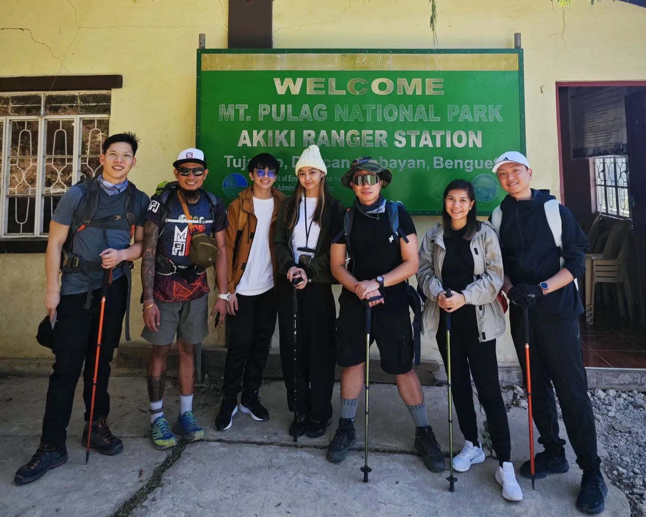
Among our group, three of them are my friends, with one being an experienced hiker like me, while the other two are a couple that are first-timers (Nabudol 😅). While the other two are another couple that are another first-timers. And then the guide.
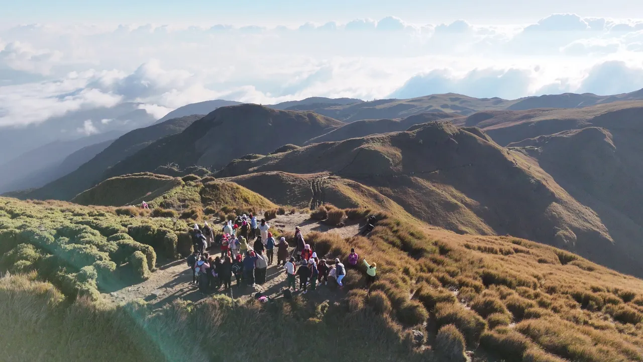
Would you believe that only 7 out of 300 hikers, including our guide, braved the Akiki Trail that day?
Mt. Pulag is renowned for its Sea of Clouds, attracting hikers from across the Philippines to trails like Ambangeg, known for being safe and beginner-friendly. However, its popularity often results in crowded trails, turning the experience into a "sea of crowds" for many.
Enough of descriptions, let's move to the actual hike!
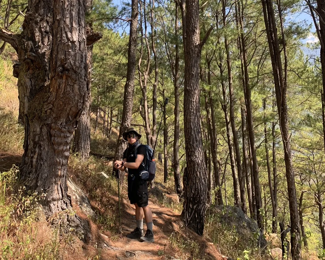
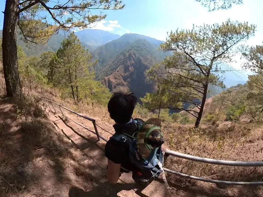
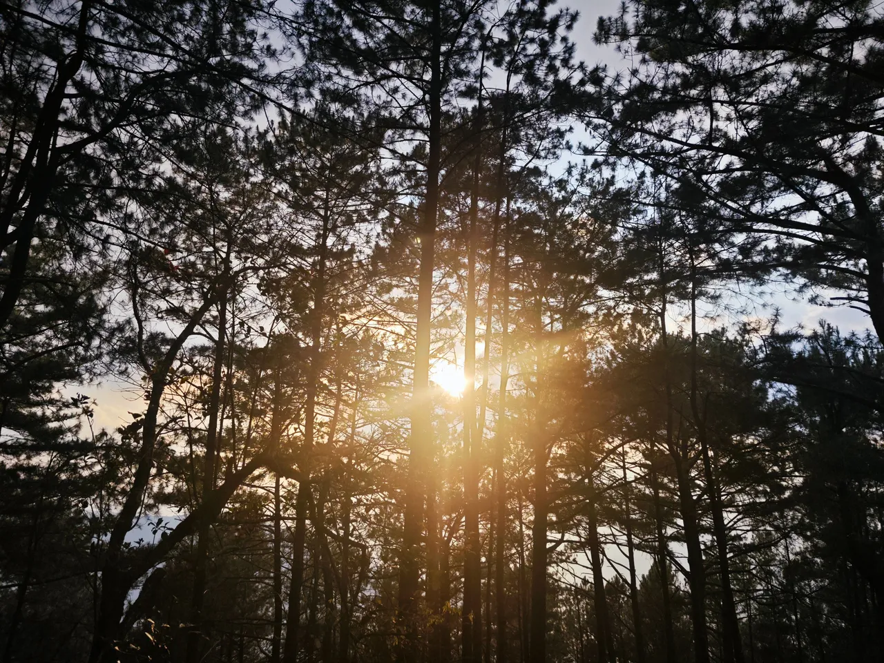
Past the ranger station, the Akiki Trail begins in this pine and grassy forest. At this point, hiking is very easy, mostly flat and going down to our first stop for lunch at the Eddet Camp.
I was surprised to see this kind of forest in the Philippines. I've lived most of my life in the Philippines, yet I did not know that this kind of beautiful forest can be found here.
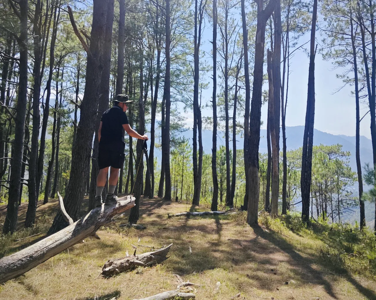
Everything went so smoothly and easily at the beginning of the trail. After we entered the pine forest, we passed through a cliff-side path that is only a meter wide. It is slippery due to the tiny rocks and dried grass scattered along the path.
Some parts of the path have installed handrails that hikers can hold onto while going down. But in some areas, there are either only bamboo rails or nothing at all.
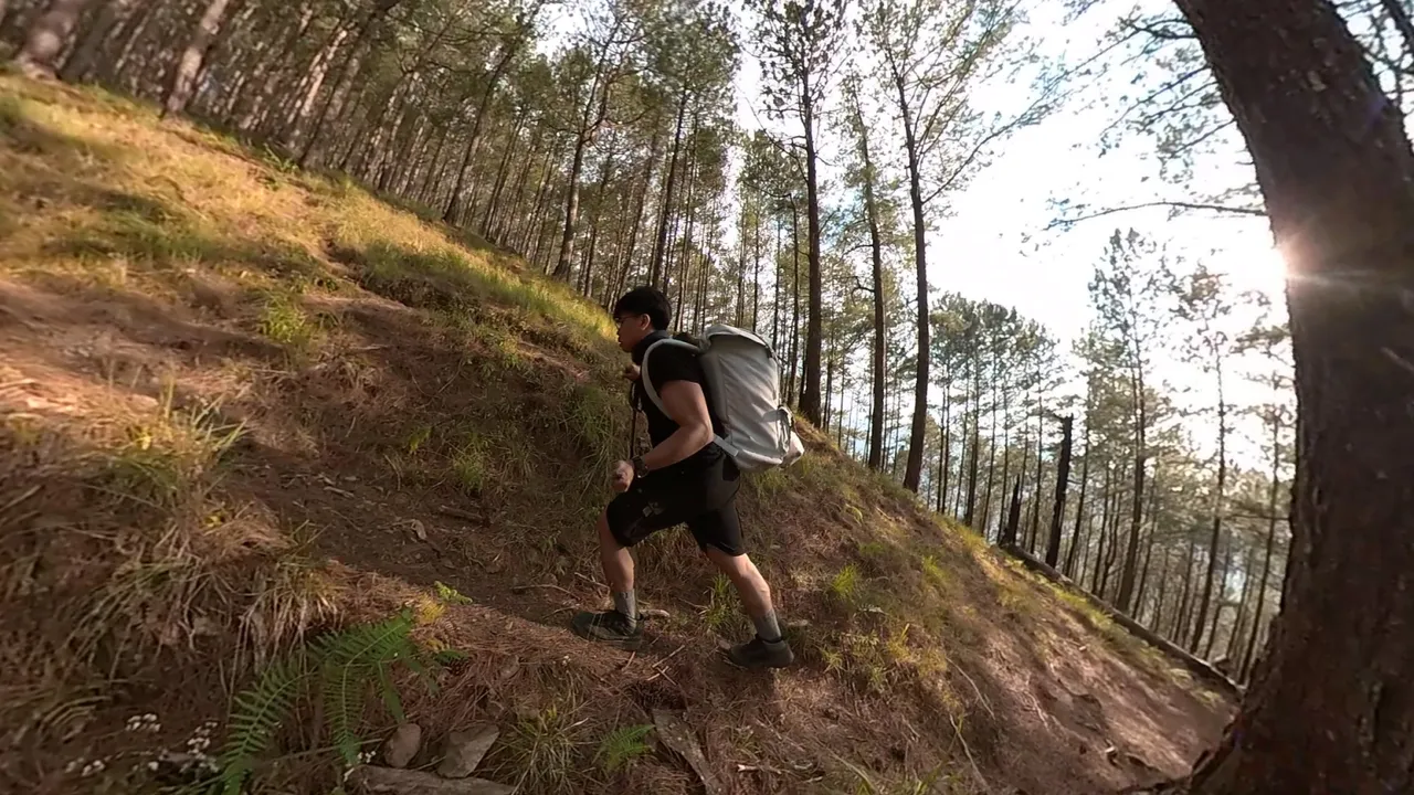
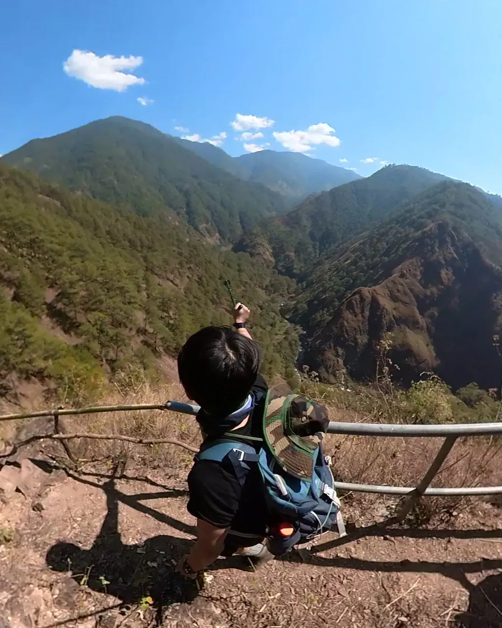
After about 4 hours of hiking, we finally arrived at the hardest part of the Akiki trail. It is a 5 km trail with a 45-degree elevation gradient. Besides that, this part is full of misleading paths. Because forest fires are common in this area, the paths are often erased.
It was around 6 PM, just before sunset, when we arrived at our base camp, Marlboro Campsite. The beginners were very exhausted, but luckily, our guide and my experienced friend had arrived 1 hour ahead of us to prepare our dinner for the night.
We quickly had our dinner, cleaned ourselves, and, rested at 8 PM.
Hike Day Two
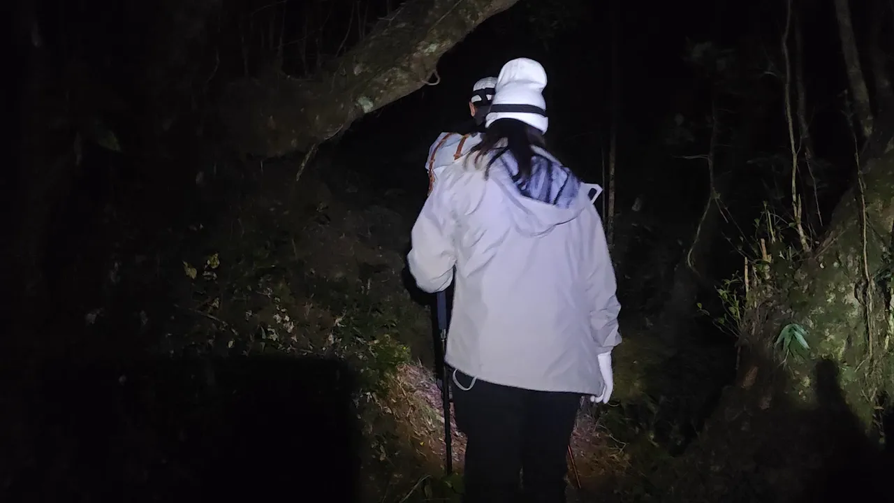
We didn't want to miss the famous sea of clouds, so we started to hike at 2 AM on the next day.
It was pitch dark along the mossy trail. We can only see the path ahead of us with our headlights. And I don't even recognize what our surroundings look like. Perhaps it is a reason for me to do it again? lol

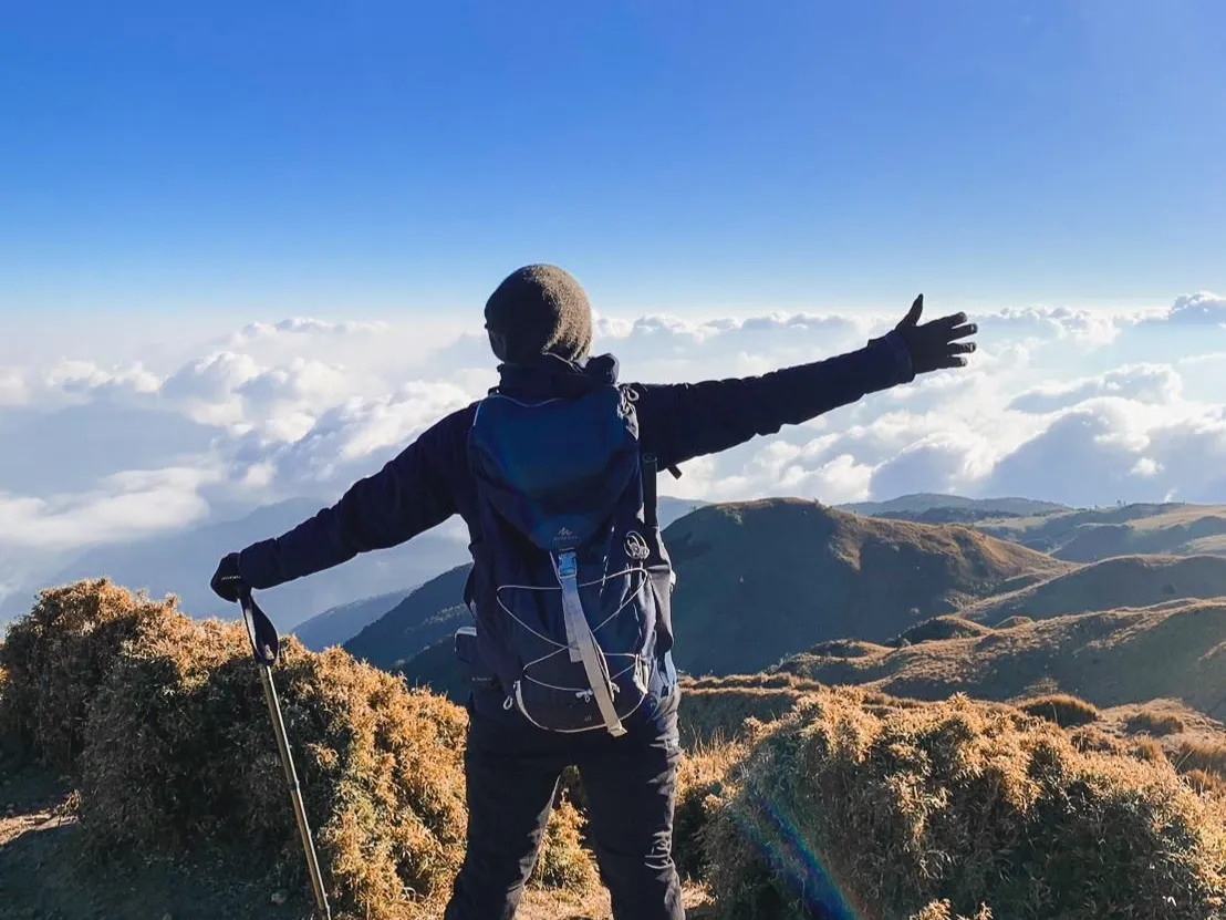
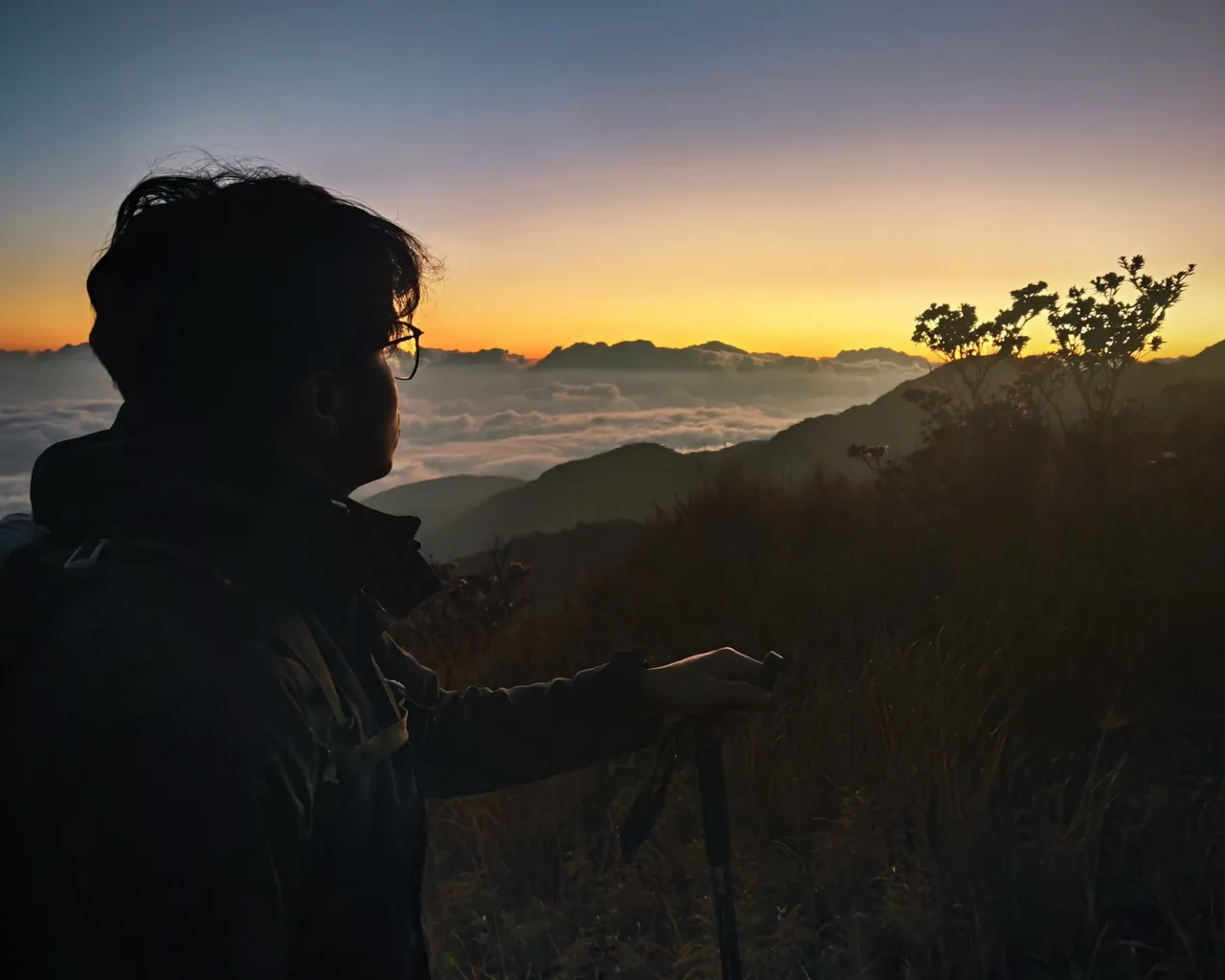
It was about 4:30 AM when we finally exited the mossy forest and arrived at the grassland. At this point, we can finally have a glimpse of the golden sunrise and the sea of clouds.
Seeing this view, everybody's spirits went from being fully exhausted to fully excited.
At this point, we already conquered the Akiki Trail. What is left, is for us to cross the grassland and get into the summit.
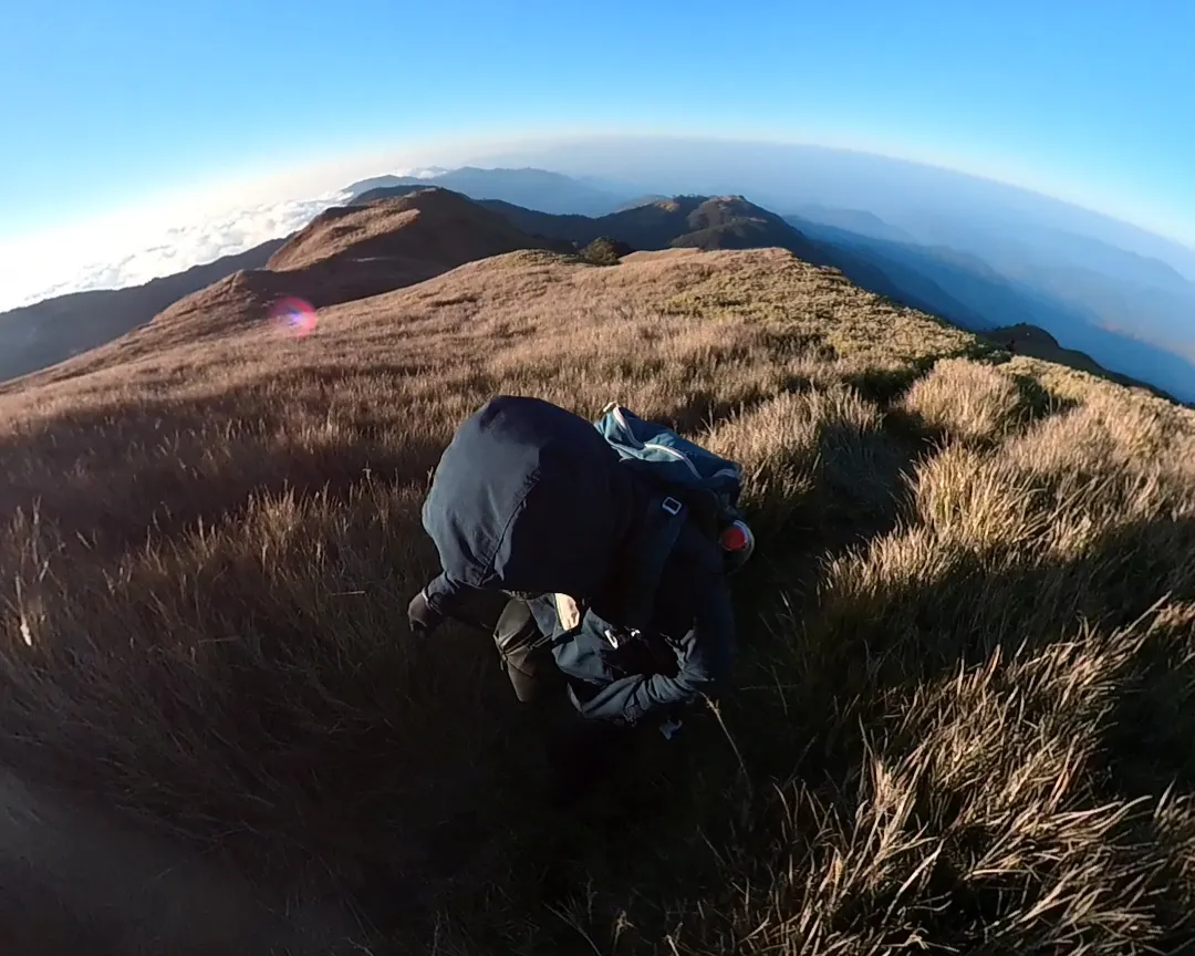
The most challenging part here is the strong wind and the high altitude pressure. With every step, my heart is pounding.
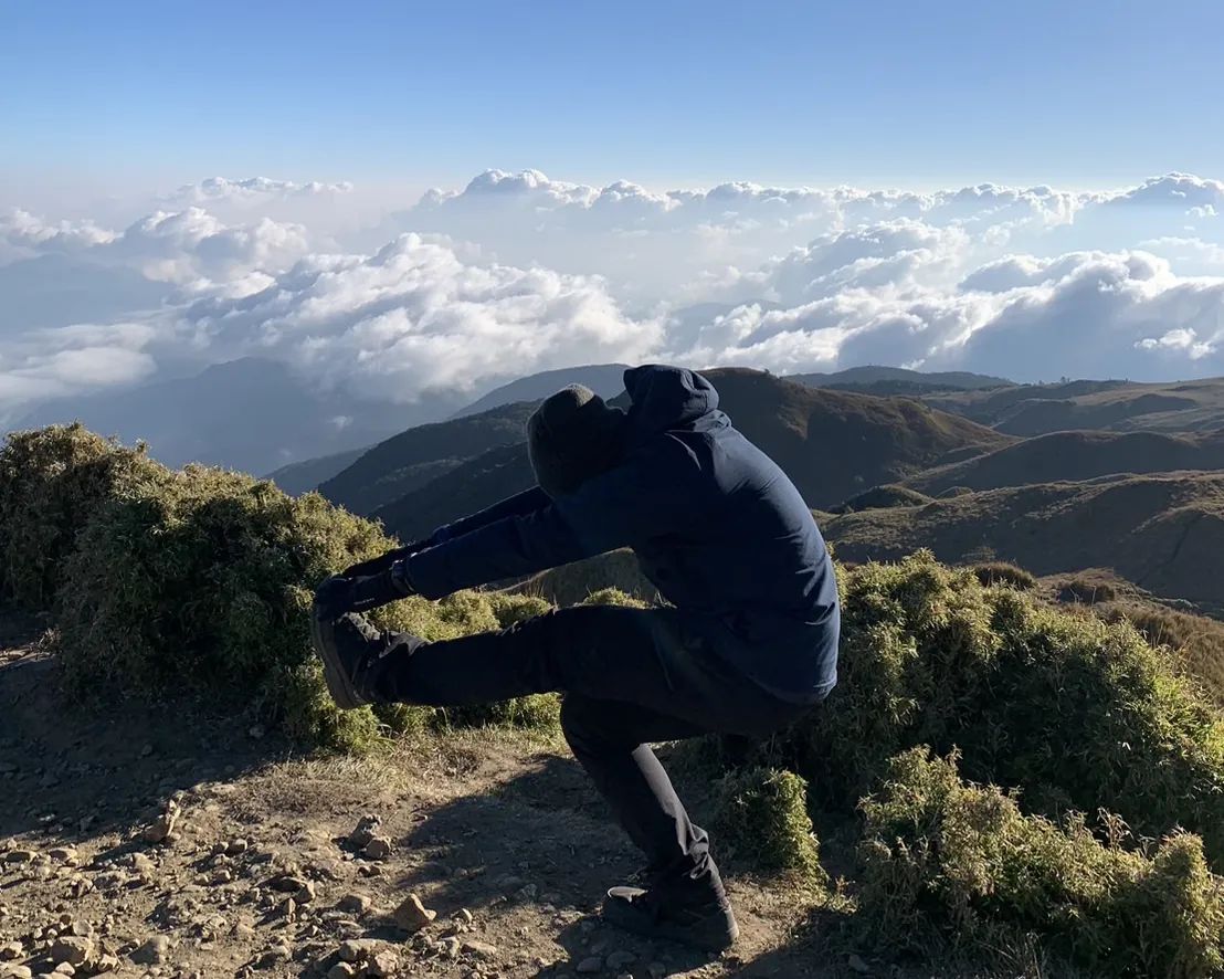
It was past 6 PM when I reached the peak, a little late to witness the full-blown sea of clouds. But I could still see some, and it almost didn't matter, as the mountain itself proves why it's called the Playground of Gods.

While I witnessing its beauty, I caught myself singing "Mahiwaga, pipiliin ka sa araw-araw" (Magical. I will choose you every day.)