Roam the mountain or roam the mountain within you...both are the same thing. I had never thought that travel can also become a part of life and now after coming back from one place, a plan to visit another place starts forming in my mind and till I go somewhere else, the mind keeps getting disturbed.
Today I will take you to the base camp of Neelkanth Mountain. When I and my friend had planned to visit Badrinath, Neelkanth Base Camp was not a part of our plan, but the shining Neelkanth mountain on the peak of Badrinath temple looked at us as if saying, “You both should visit me after visiting the temple. ...I will wait”. Coming under the control of the form of the mountain, we started towards the base camp of Neelkanth mountain on the next day.
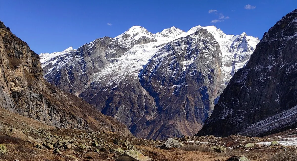
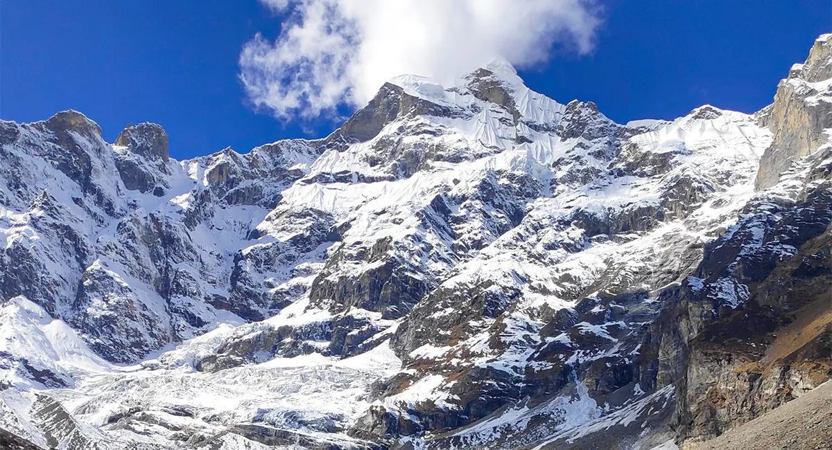
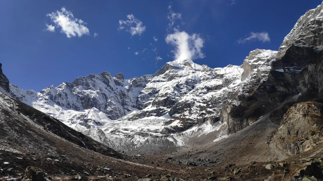
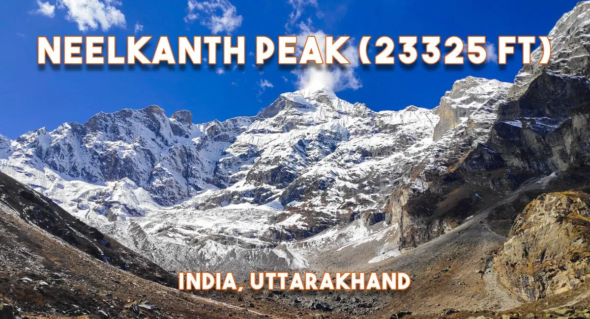 Neelkanth Peak, 6500m
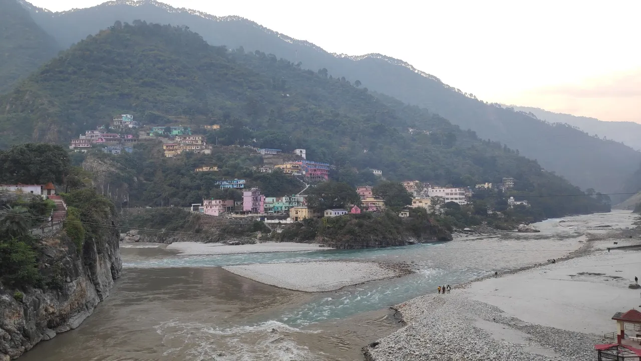 Karnprayag
The road distance from Delhi to Badrinath temple is 529 km and it took us about 16 hours to cover this distance. We took a stay at Karnaprayag where the Alaknanda and Pindar rivers meet. After spending a night here, we reach Badri city by next morning bus. It's winter time but it hasn't snowed yet and we're thinking it will while we're here.
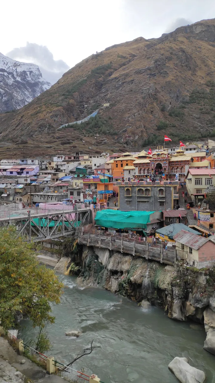
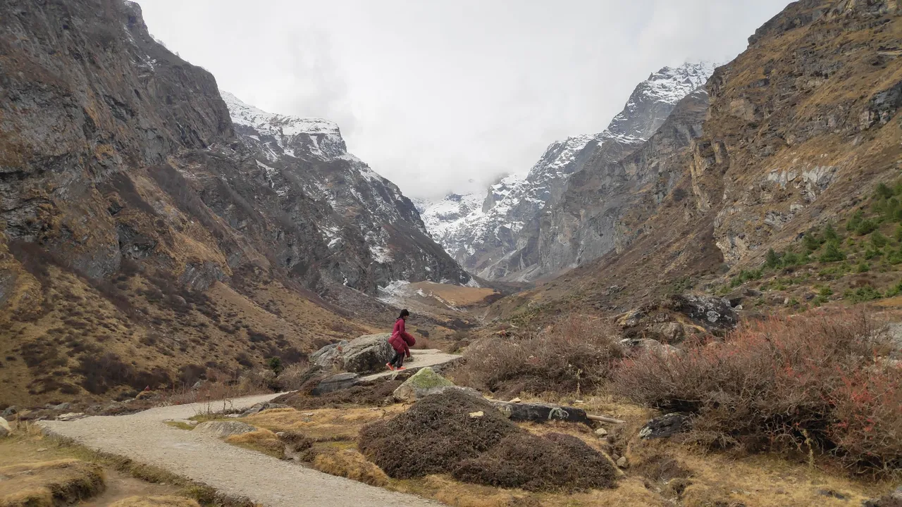
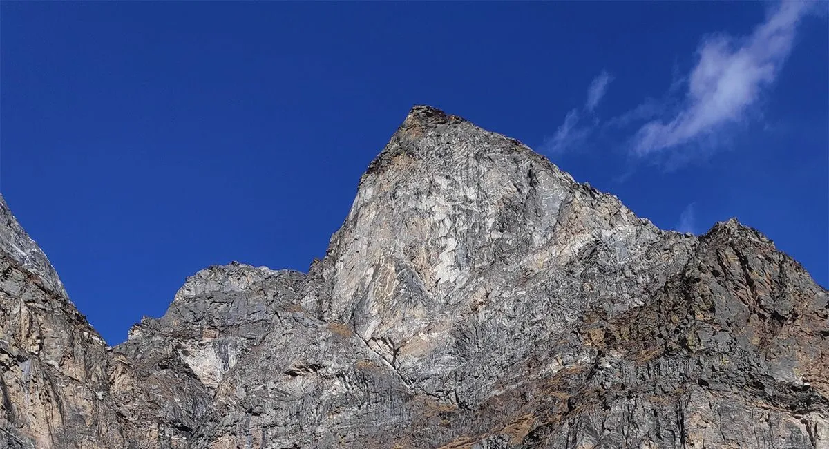
'Shri Badrinath Temple' built on the banks of Alaknanda River is at a height of 3300 meters. From here a walking path leads to the base camp of Neelkanth Mountain. Neelkanth Base Camp is 7 km away on foot from Badrinath, the height of the base camp is 4250 meters. Whereas the height of Neelkanth mountain is 6500 meters. This amazing mountain visible from a distance is covered with snow. Seeing such high peaks, one always feels like climbing them.
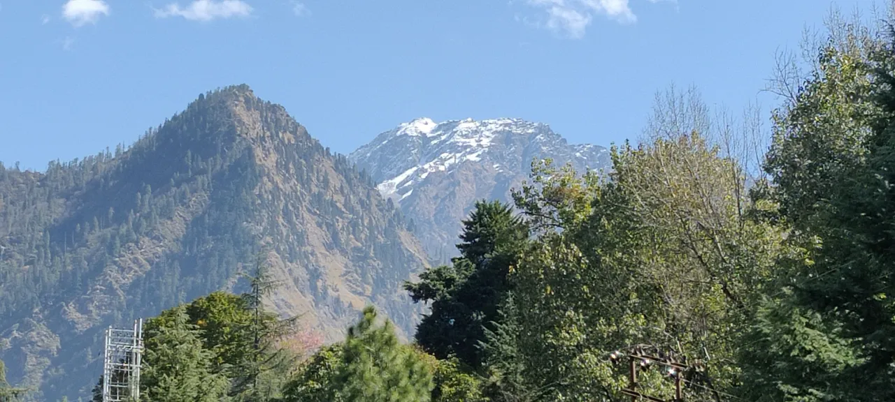 View from Joshitmath
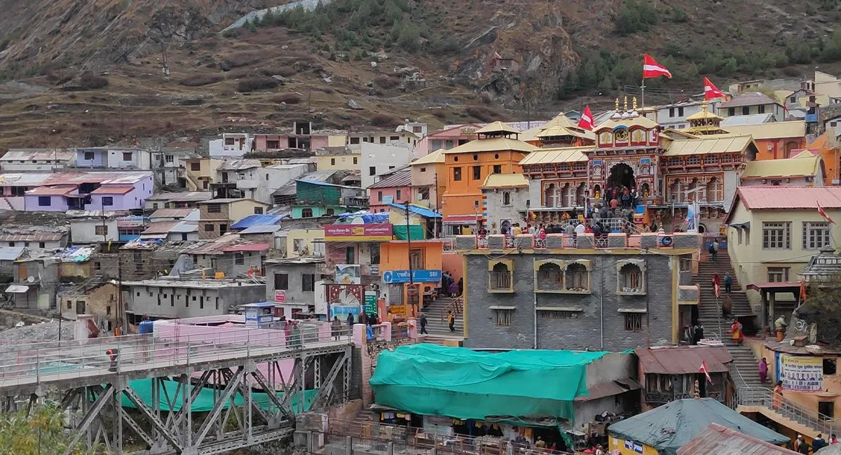 The Badrinath temple
We leave in the morning carrying a water bottle with us and also carry some food items to eat on the way. On the way there comes a place called 'Charan Paduka' where it is believed that there is a mark of the feet of 'Shri Badri Vishal'. Devotees come here and leave after worshiping. Leave early in the morning, there are dark clouds in the sky and the Alaknanda river is flowing at its speed.
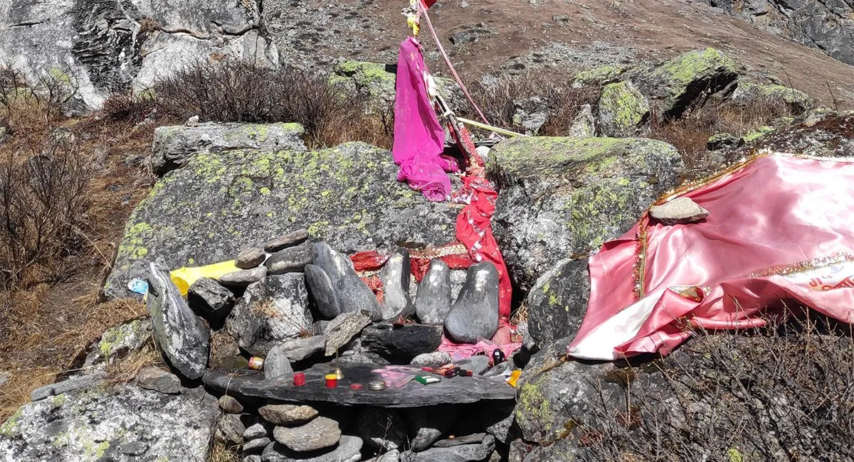 Charan paduka temple
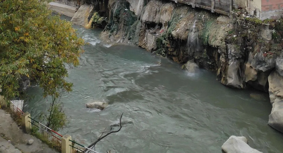
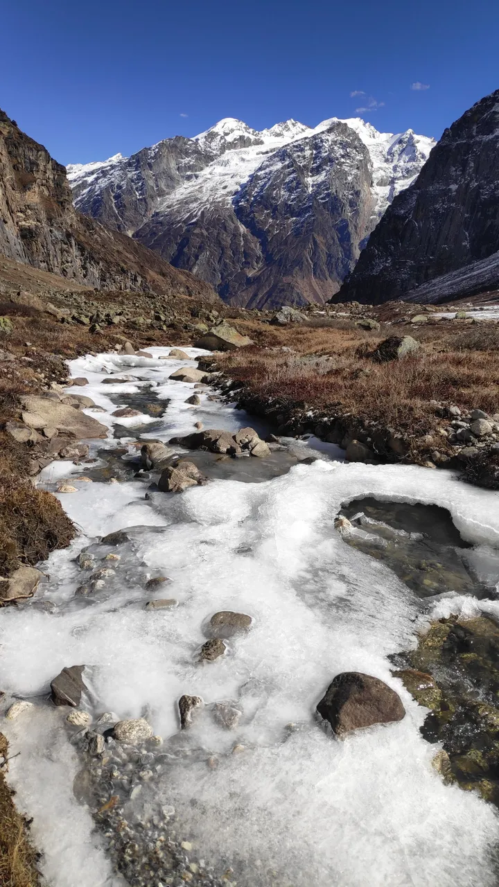
The road till Charan Paduka is made of cement, so there is no chance of getting lost on the way. We are walking talking amongst ourselves that the weather is going to get worse and it is possible that snow may start falling so we will have to walk a little faster. The high mountains visible on the way are captivating us. After 3 km the weather clears, a stream originating from Neelkanth blocks our path. This stream is frozen, we stop here to drink water and move towards our destination again.
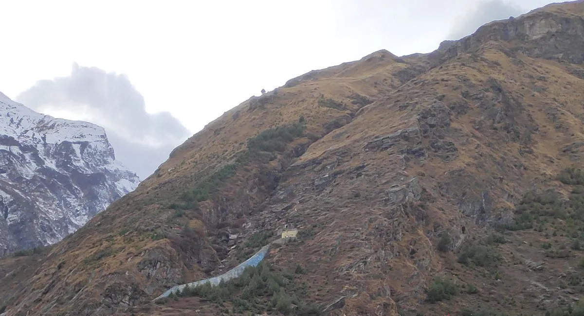
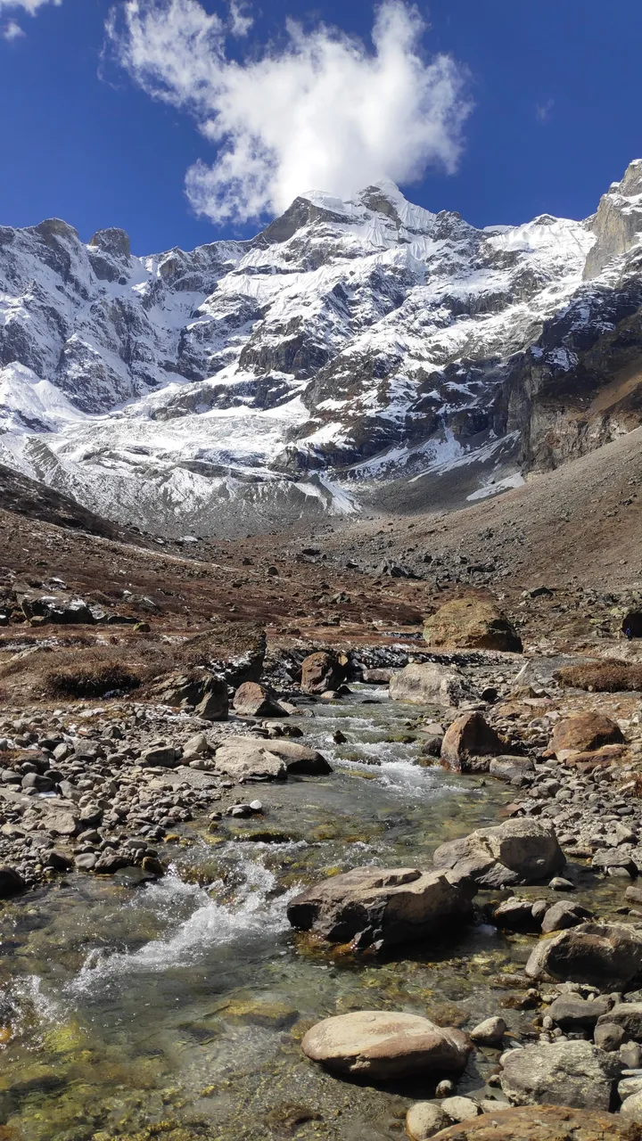
In another hour we reach the base of Neelkanth Mountain. The altitude here is 4250 meters and at such a height we are facing some difficulty in breathing. The sun is strong so we stay here for half an hour. We sit and drink water, look at the mountains, feel the cool breeze on our faces and click some photos and start walking back at 3 pm. It took us 3 hours to cover this distance of 7 km.
On the way back we hope to get down in 2 hours and that is exactly what happens. We run down and reach Badrinath temple at 5 pm. My friend rests in the room and I go to take bath in the hot water pond located near the temple. We stay here for 7 days and go to visit nearby places. That's all for today, see you in the next post where I will again tell you the story of a Himalayan place.
Disclaimer: This post is originally written in Hindi and I have used Google Translator to tranlate the Hindi text in English. All the photos have been clicked by me from Mobile and edited in Snapseed, Lightroom/photoshop.