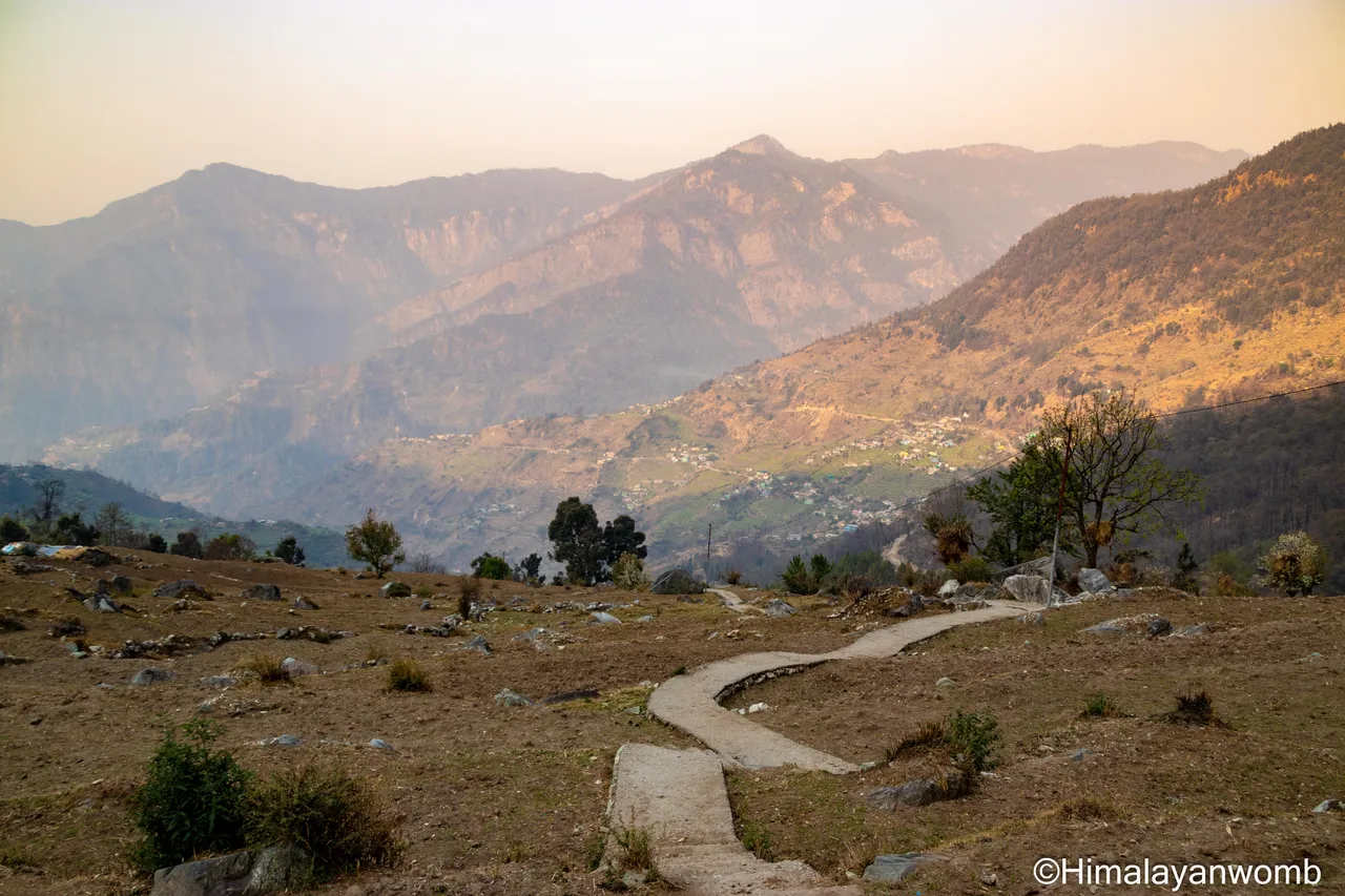
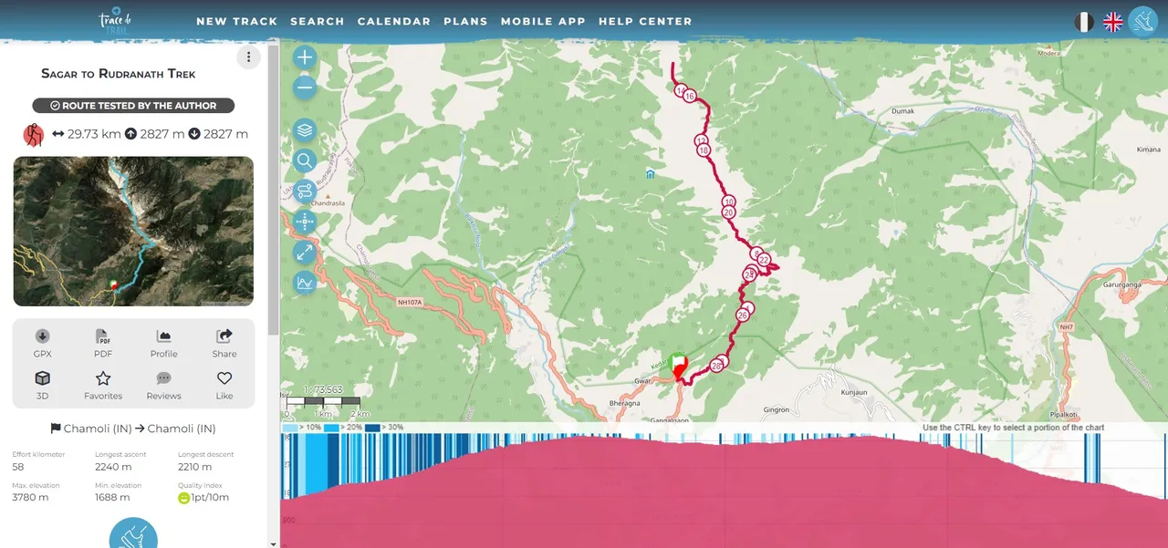
I am writing after many days because I was busy in a trail running event. I came back yesterday morning after about 10 days and today finally after washing clothes I am sitting to write a blog on hive. In today's blog I will take you to visit Rudranath temple. This temple is located at 3600 meters in Uttarakhand, India. This temple is a part of Panch Kedar and is dedicated to Hindu God Shiva. I was staying in Gopeshwar for 2 days and finally now the time has come to move ahead and visit Rudranath temple.

To reach Rudranath, first of all I took a taxi from Gopeshwar to cover a distance of 5 km which dropped me at Sagar village. Sagar village is located at an altitude of 1950 meters and from here the walking path to Rudranath temple starts. The total walking distance from Sagar to Rudranath temple is 30 km in which there is an elevation gain of 2591 meters. It is January and the cold has spread its empire all over North India, maybe I will get fresh snowfall.
I stay in Sagar village for 2 days and visit the temple of Raja Sagar, a descendant of Raja Ram, situated here, this place is named Sagar after him. Here I take information from the locals, which tells me that there will be no one at the Rudranath temple in the month of January, the locals say that if I am lucky then I may meet a saint at the top but the chances of this are almost negligible. I get a little disappointed thinking that what will happen to me if I do not find anyone at the top?

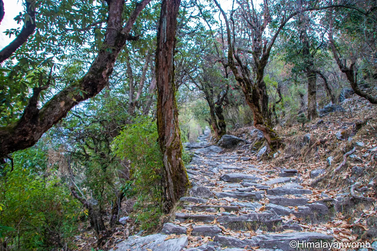
I leave on Friday morning with a sleeping bag, food for 2 days, warm jacket and mattress in my rucksack. My first target today is Litti Bugyal which is about 4 km from Sagar village in which there is an elevation gain of 950 meters. The first km was the toughest as it had a gradient of 35% and that too with an elevation gain of 337 meters. The first km itself knocked me out. I stop to drink water and control my heavy breathing.

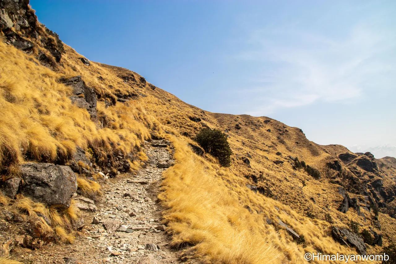
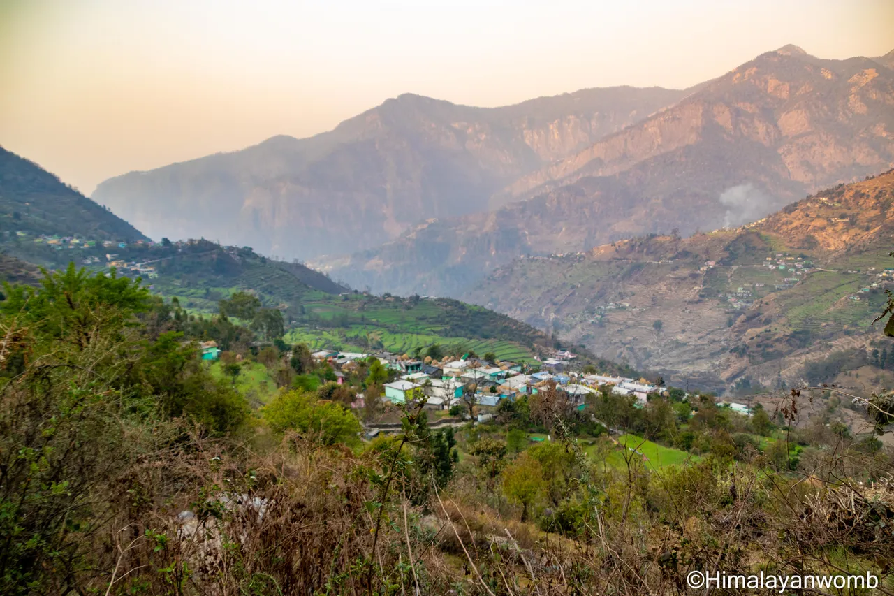
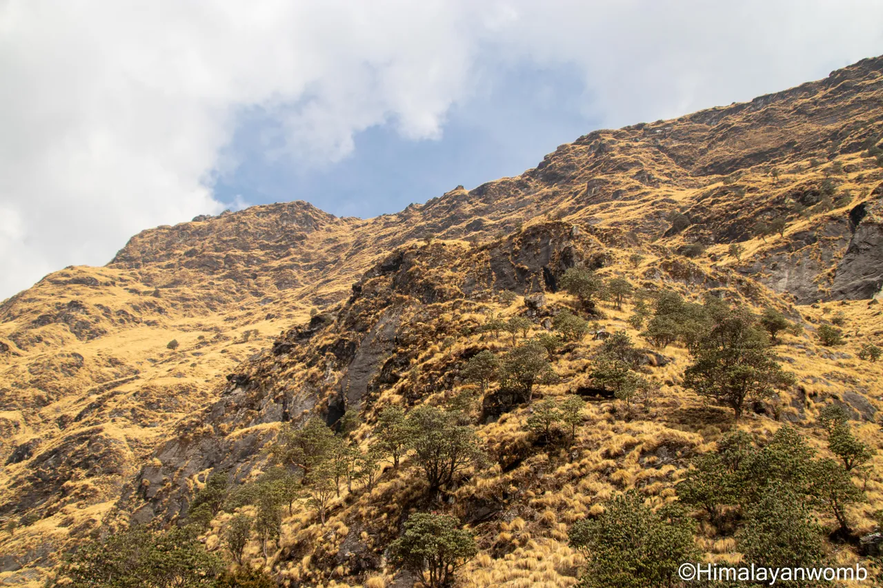
Litti Bugyal is a grassy ground, Bugyal is a Garhwali word which means grassy ground in Hindi. There is a tea stall here which is closed due to off season. I am moving ahead with the orange rays of the morning sun and slowly entering the deep part of the forest. Since I left Sagar village, I have not met a single person on the way, I can turn back and look at Sagar village being left behind.

![]()
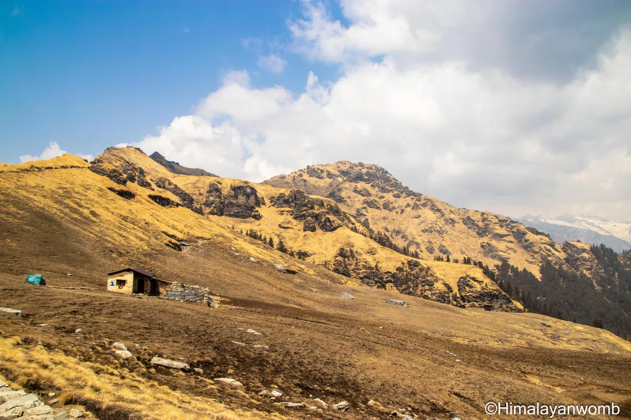
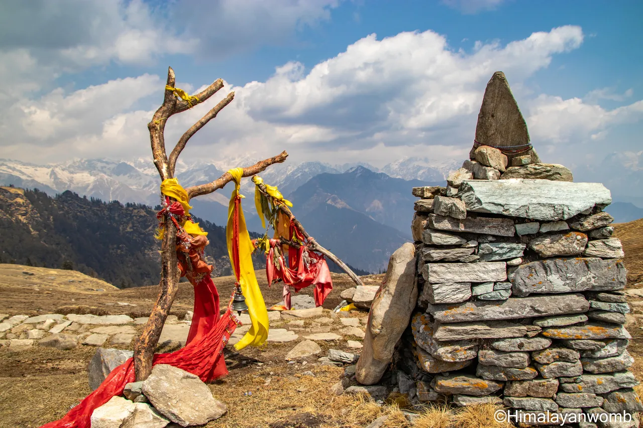
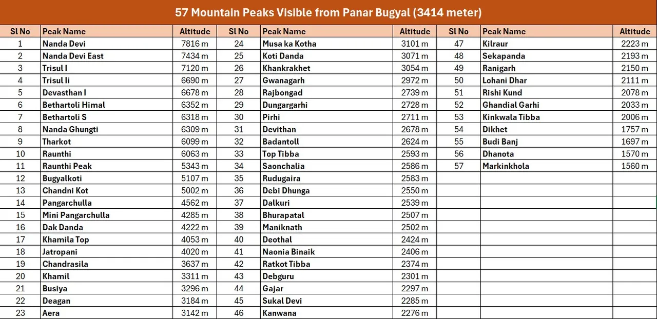
After Litti Bugyal, my next target is Panar Bugyal. The most amazing place of this entire route is Panar because 57 mountain peaks are visible from here, from here mountains of Uttarakhand as well as Himachal Pradesh and Nepal are visible. The distance from Litti Bigyal to Panar is 8 km in which I have to face an elevation gain of 1403 meters. Here in the forest I also hear the sound of a wild bear screaming somewhere far away, hearing which I get scared as I am alone and start thinking that either I should start descending or choose another route.
Without wasting time I decide that I will go above the tree line because due to winters the bear stays around the village so that it keeps getting food. And to stick to my decision, now I have to walk fast and reach Panar Bugyal. I start sweating even in winters while climbing the 8 kms hill. In the next 3 hours I climb Panar Bugyal and stand in front of 57 mountain peaks, from here I can also see my favorite mountain named “Nanda Devi” whose height is 7816 meters.
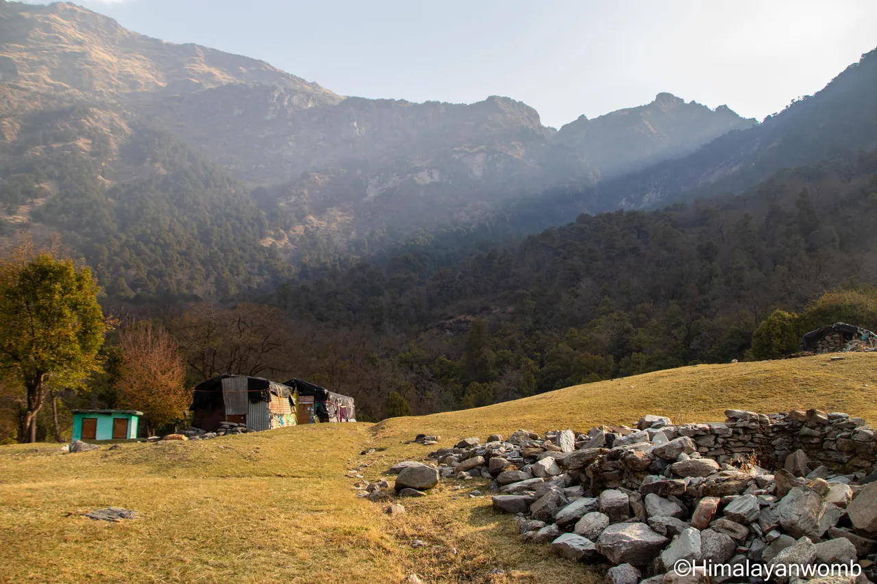
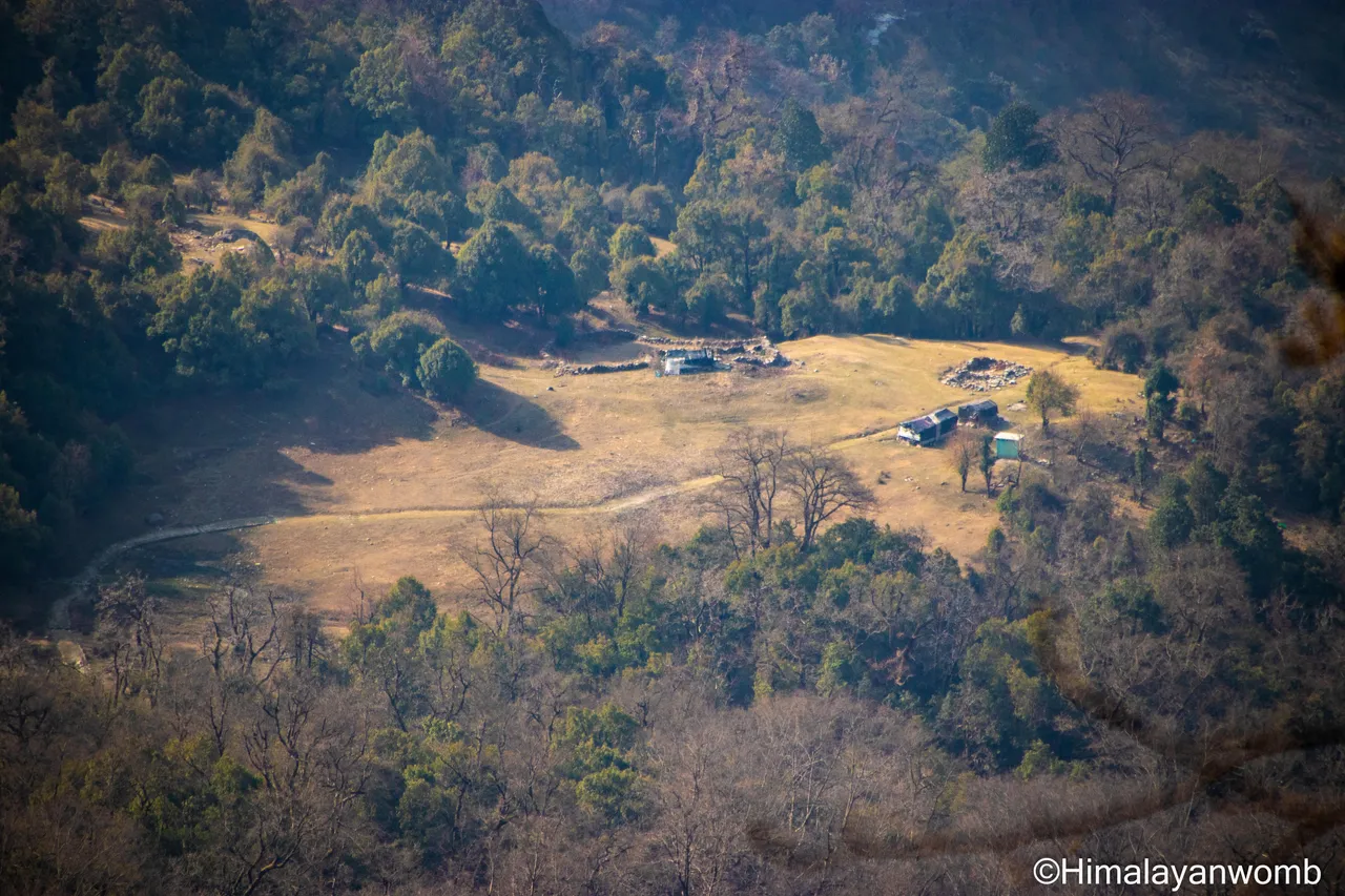
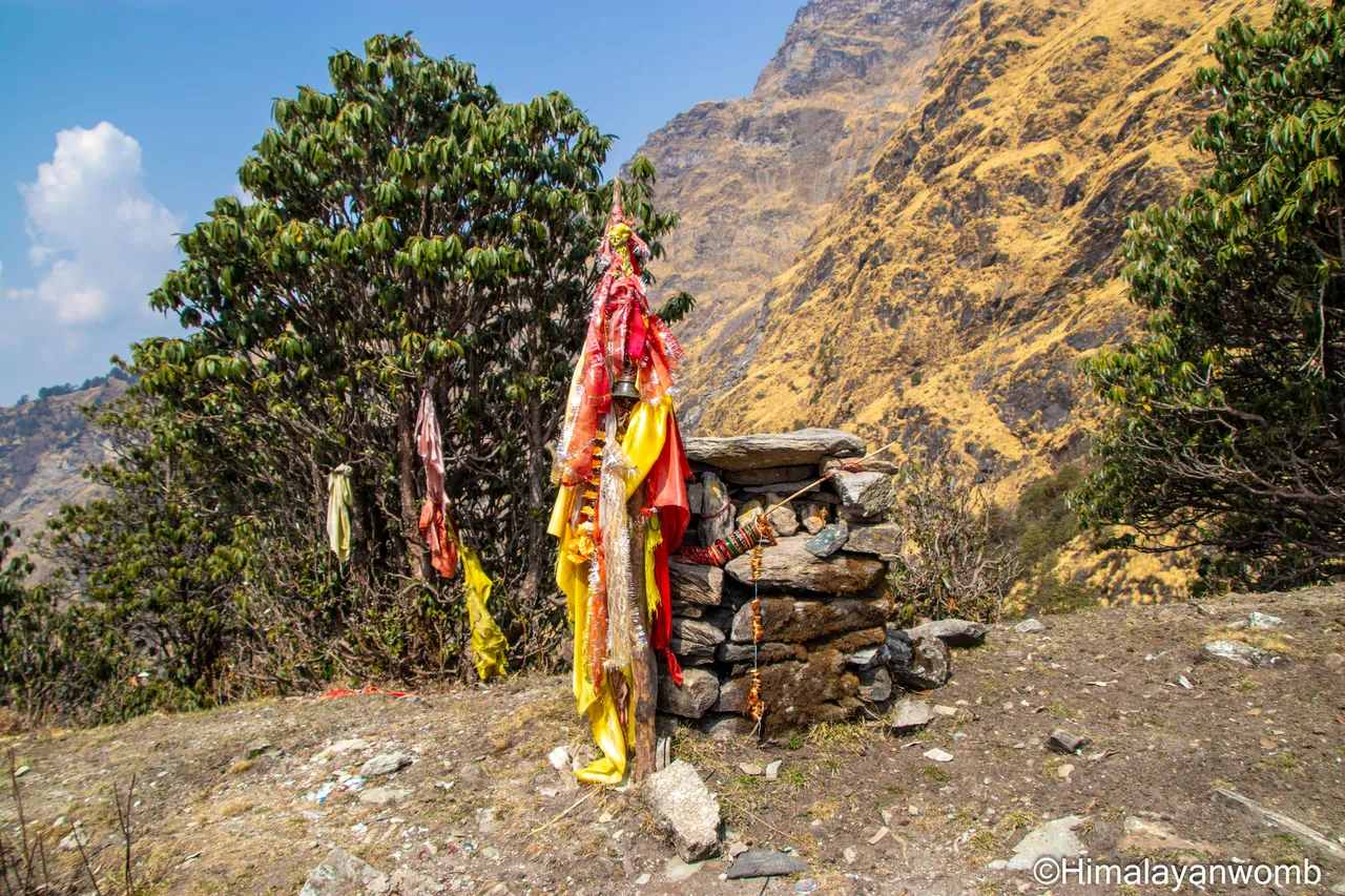
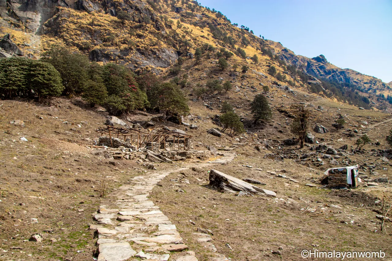
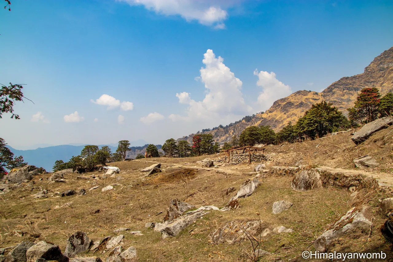
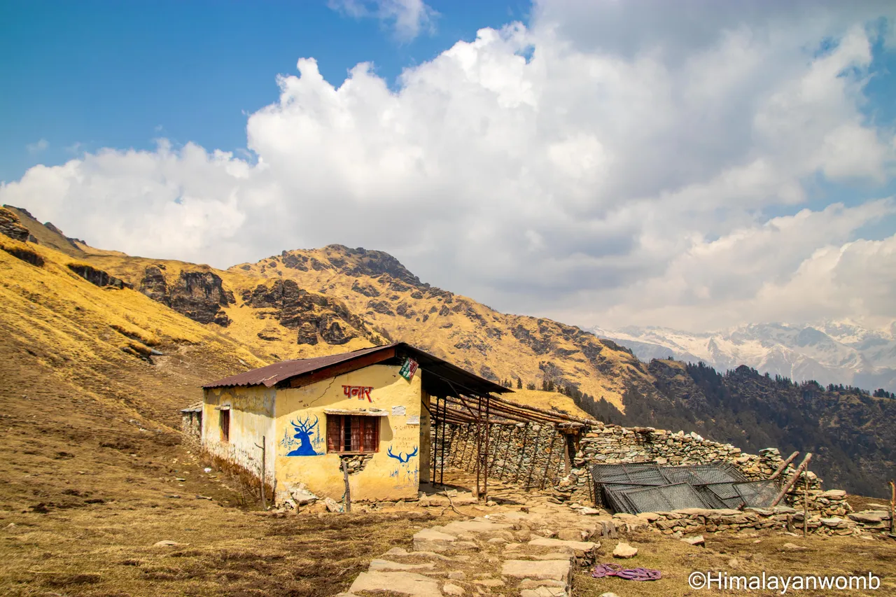
There is a small Shiva temple in Panar and a hut which is in very bad condition. Of course I am not going to stop here because I have a lot of time till I reach Rudranath, so I start moving ahead. I will give information about the journey beyond Panar in the next post, till then stay happy and keep trekking.
Disclaimer: This post is originally written in Hindi and I have used Google Translator to translate the Hindi text in English. All the photos have been clicked by me from Canon 77D and thumbnail photo edited in adobe photoshop.