Hello,
Teide, a volcano geographically located in Africa, on the Spanish island of Tenerife, is undoubtedly one of the main attractions of the island and a must-see every time I visit the Canary Islands.
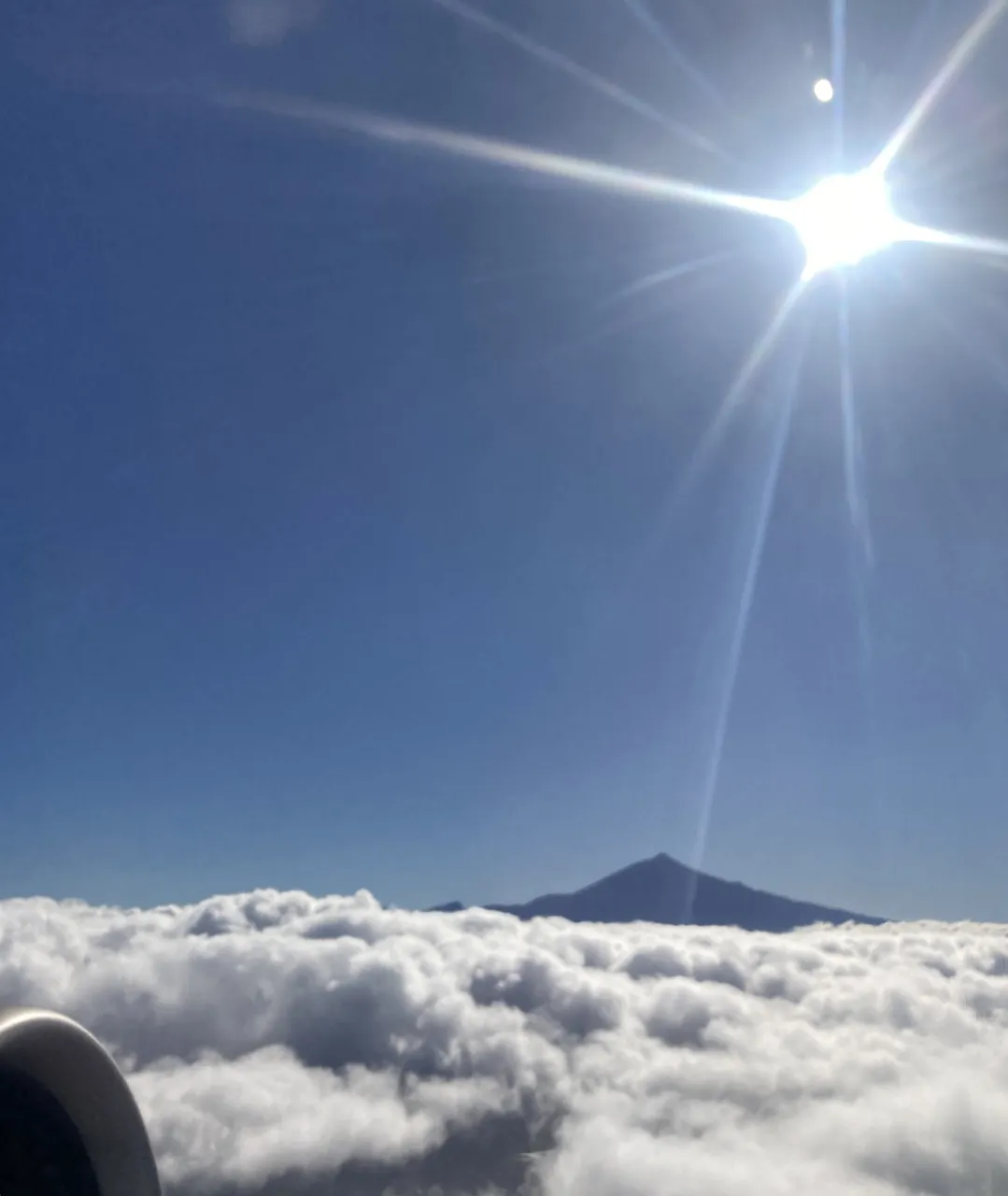
Even before landing, it can be seen from the air, as it towers above the clouds on cloudy days at a height of 3,715 metres.
My entry to Qurator Photo Quest: Lens Flare
There are several routes available, from the south via Adeje, from the central part of the island from San Isidro, from the north from Puerto de la Cruz or from La Laguna.
I have done the route from La Laguna on the last few occasions, and on my last occasion I went to Teide without going through the hotel, taking advantage of the fact that I had landed at the airport in the north of the island, close to La Laguna.
From the airport in the north of the island to the viewpoint near Teide there are approximately 65km which can be covered in about 1 hour and 30 minutes, taking into account the stops at the viewpoints along the route from which you can see Teide and the coast of Tenerife.

La Esperanza-Montaña Grande Viewpoint.
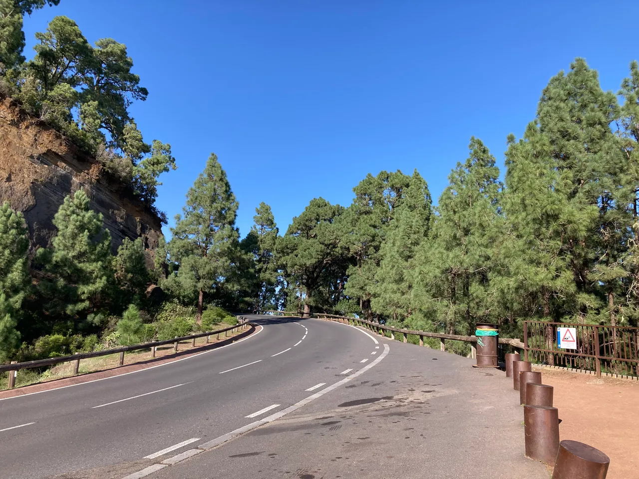
From the airport, with the intention of climbing the Teide, I took the road that led me to the village of La Esperanza. In these first few kilometers of fairly well-surfaced road, passing through several small villages, I found nothing special to make me stop. However, about 20 minutes into the climb, the road entered a pine forest area with a signposted viewpoint.
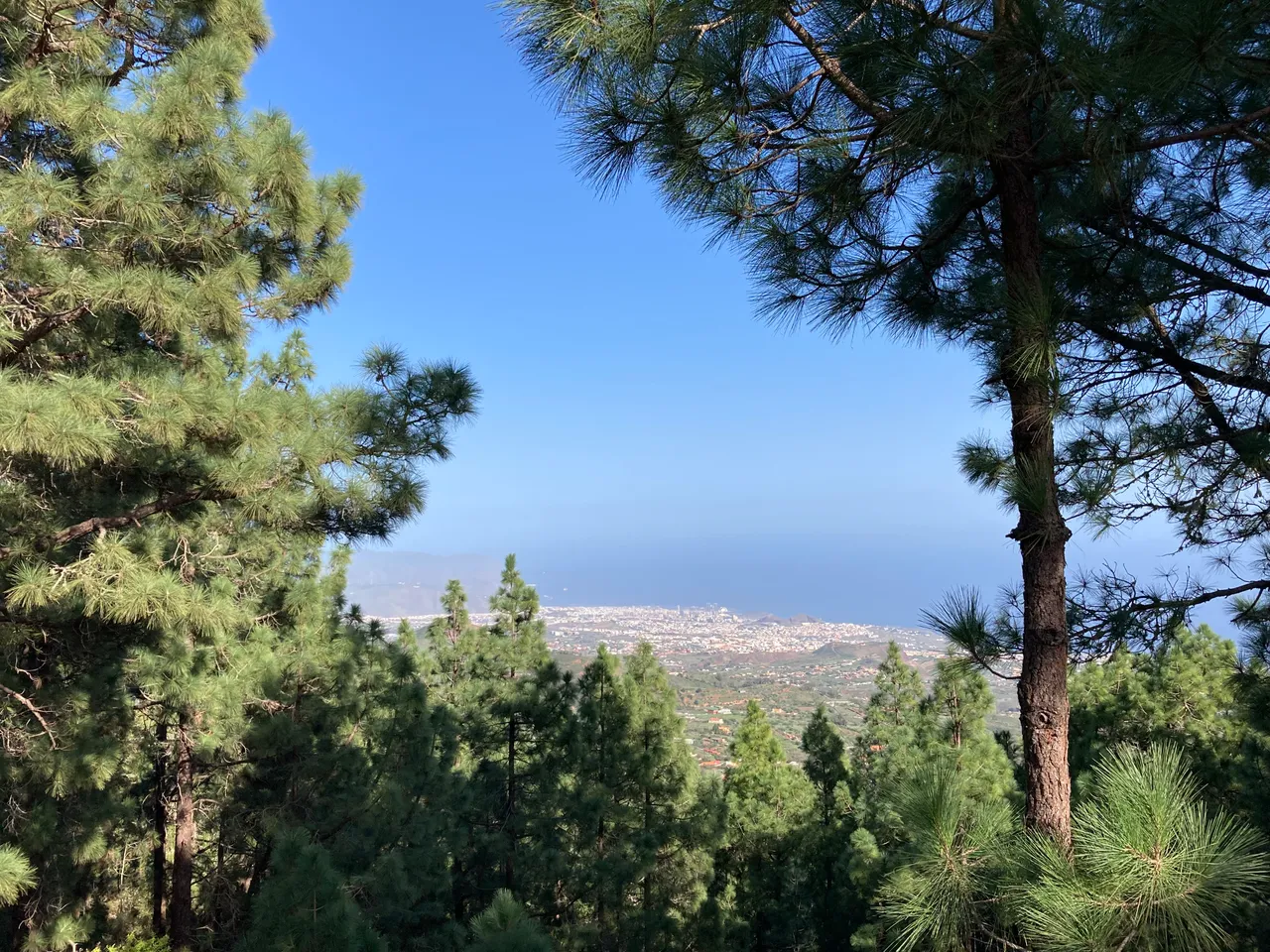
This viewpoint is the Montaña Grande viewpoint with excellent views of the island's capital (Santa Cruz de Tenerife) and from which, on clear days, you can also make out the tip of Anaga, which is the furthest part of the island at its northeast end.
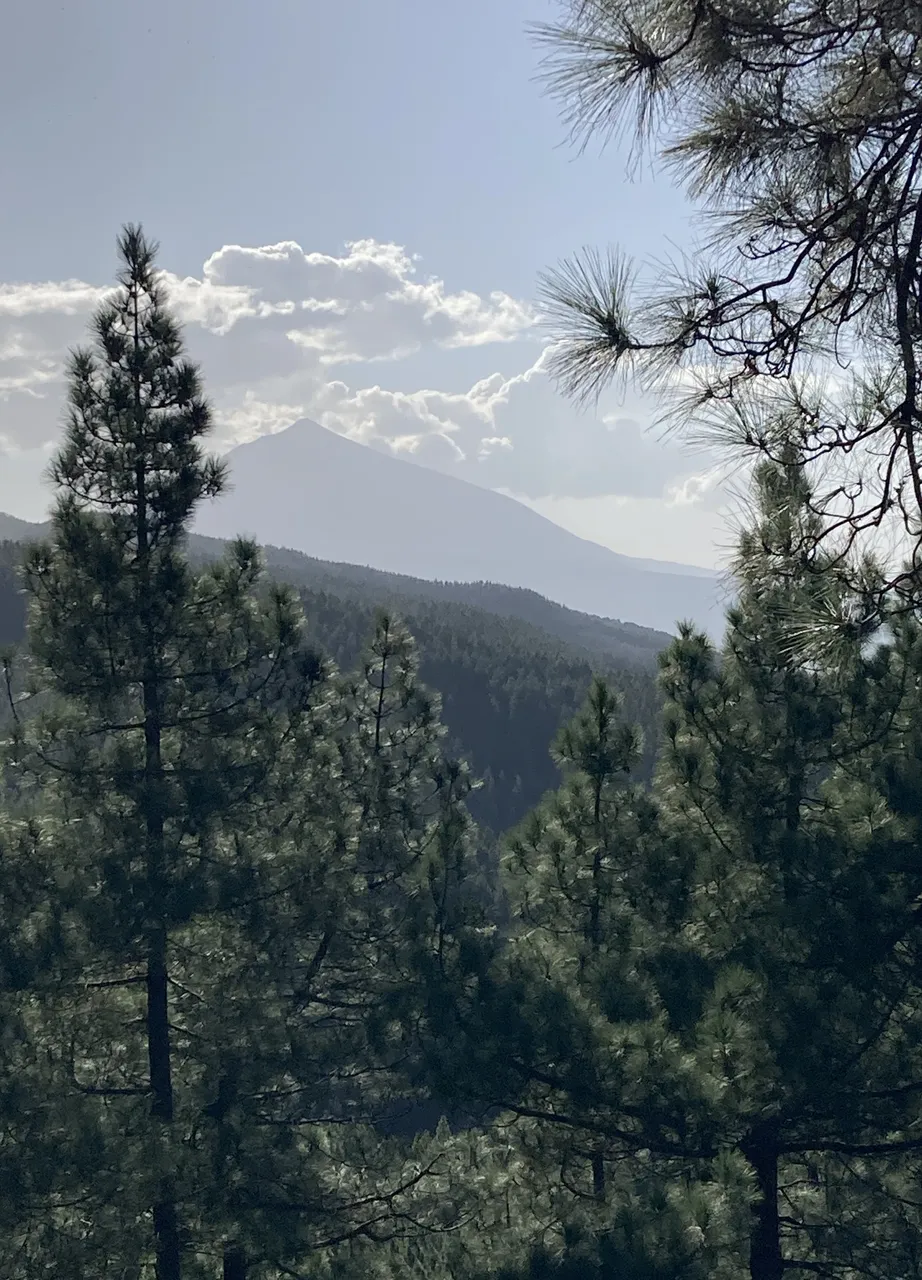
Ortuño Viewpoint.
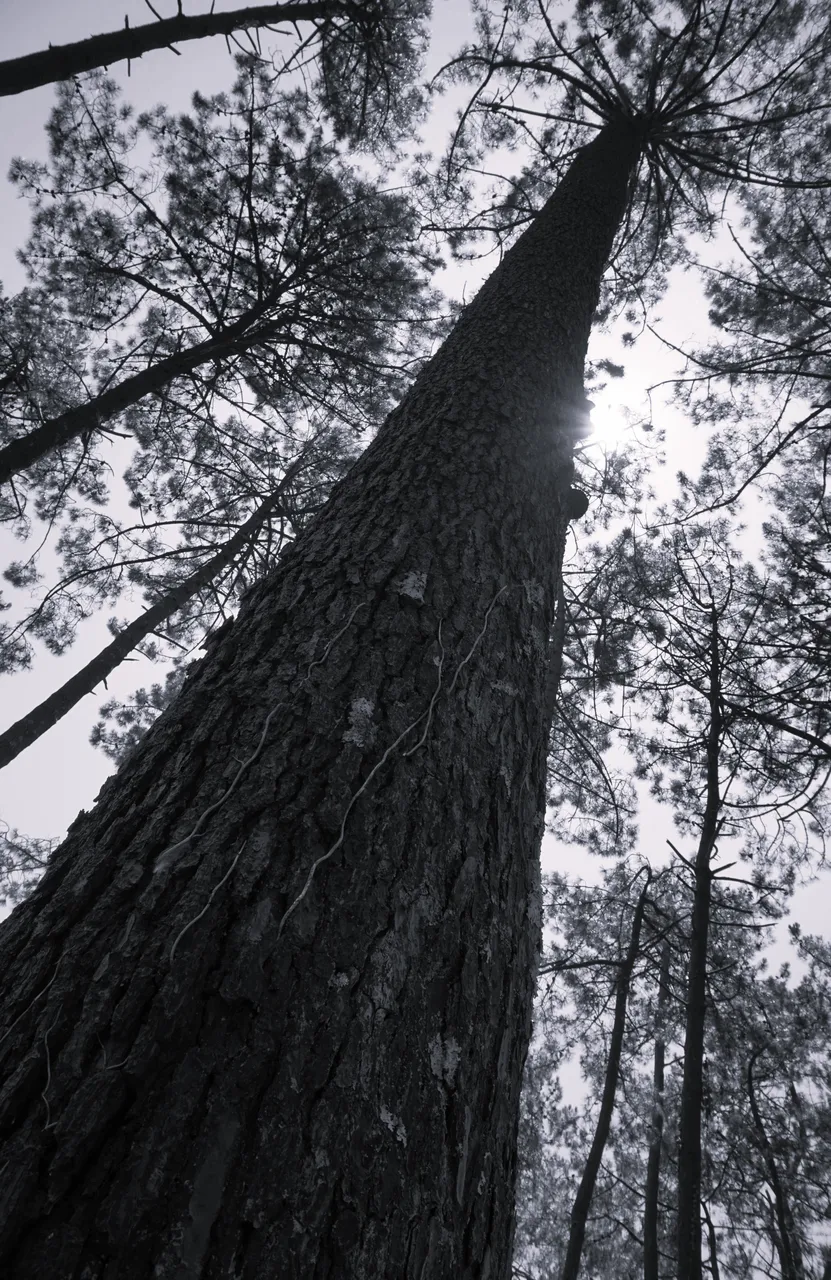
After leaving the Montaña Grande viewpoint I drove along the winding road for several minutes through pine forests. In my head I was thinking about visiting this pine forest area in summer with my tent and sleeping in the middle of nature with the stars as a roof over my head.

While I was planning this medium to long term, I arrived at the second of the viewpoints, where I stopped to take photographs.
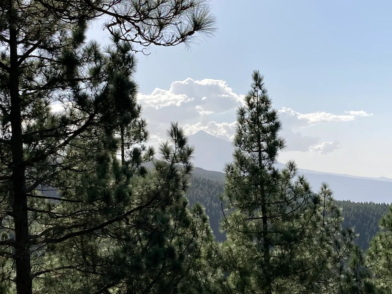
This viewpoint is the Ortuño viewpoint and it was the first viewpoint from which I could contemplate the immense but dormant Tiede volcano.
La Crucita
The Crucita viewpoint is a natural balcony over the caldera of Pedro Gil, where the ancient Arafo volcano is located.

At its feet you can see how the valley of Güímar unfolds, often hidden under the sea of clouds, luckily I could see the valley well.

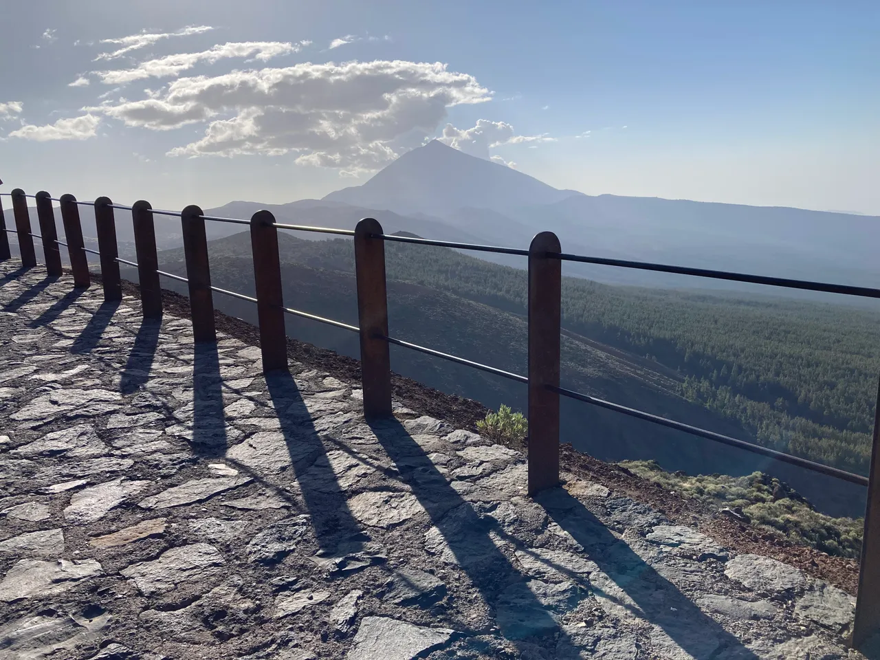
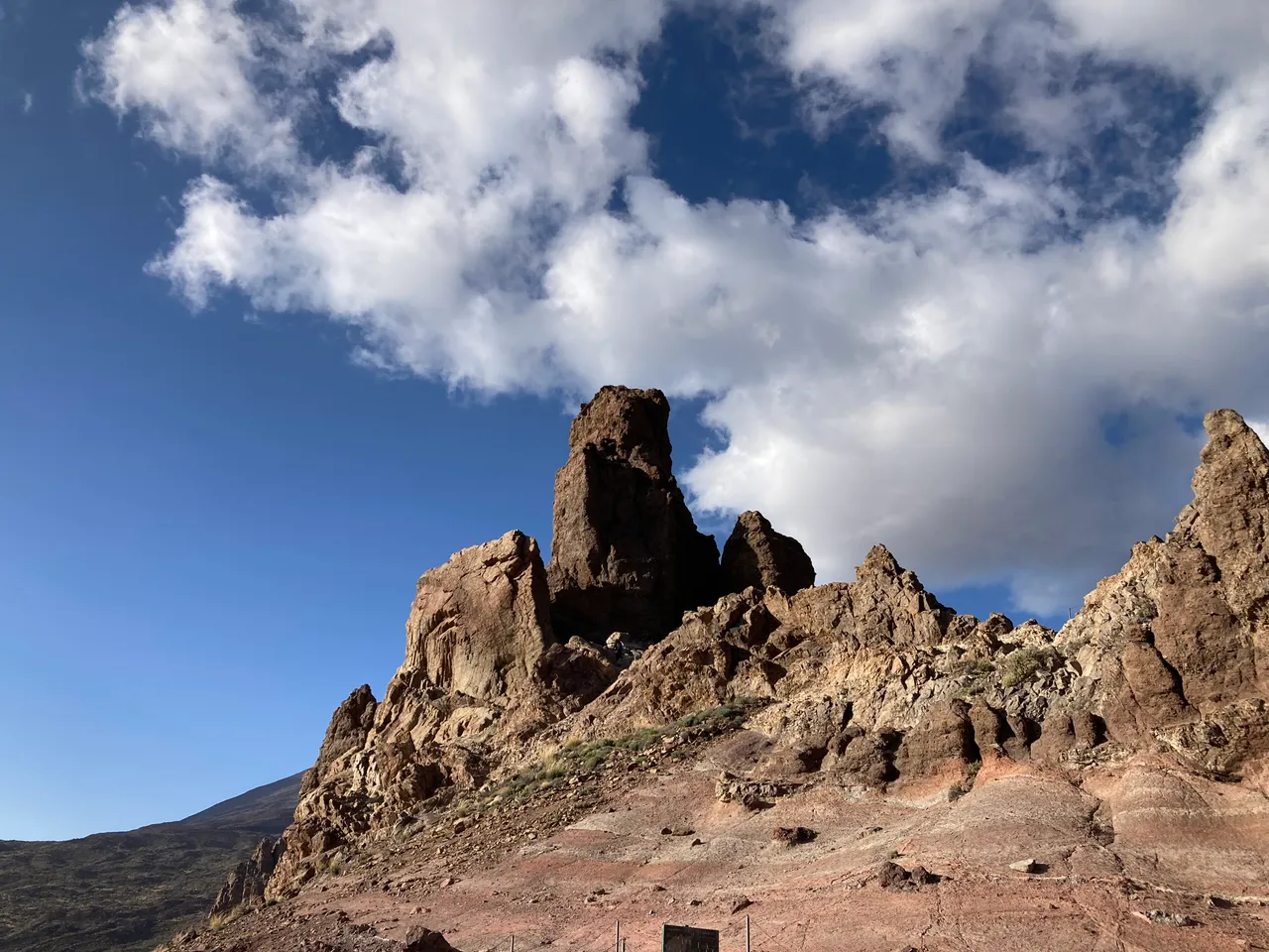
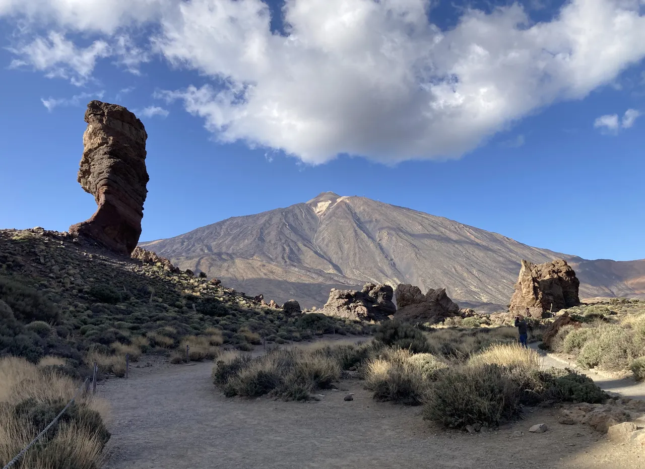
La Ruleta
Along the road that I had to take until my final destination, I found several additional viewpoints where I made small stops to take some photos of the astronomical observer and saw how each time the vegetation was less and the landscape was more arid. Finding areas of fog.

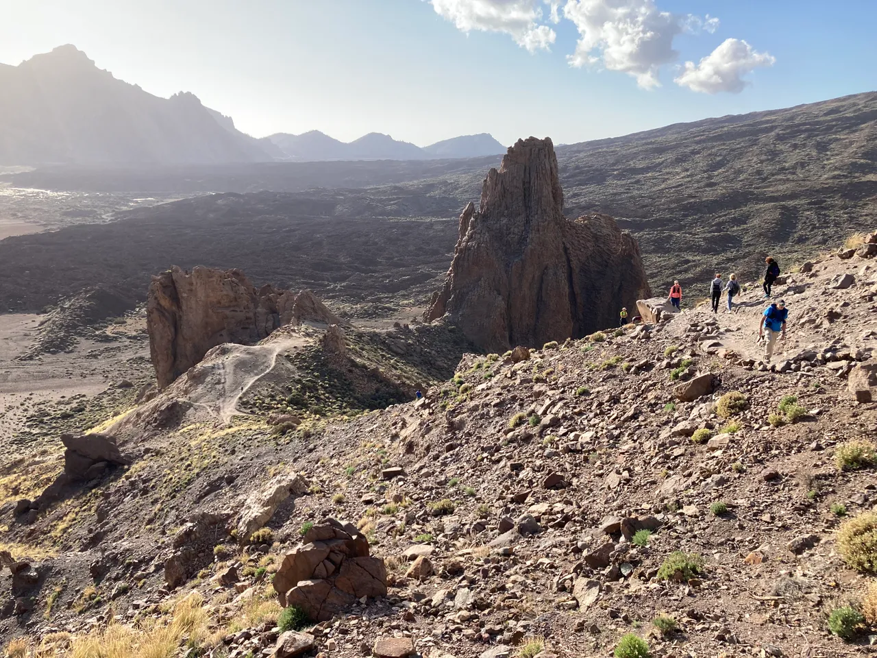
Once I arrived at the roulette viewpoint, I found a lot of cars parked in the parking lot. On the other occasions he had ascended, he had not seen so many people in this place. On other occasions, I had visited Teide during the low season for tourism on the island.

Once I managed to park, I went to photograph the calderas of Teide.

And with the intention of returning soon, I said goodbye to the great volcano.
Best regards.