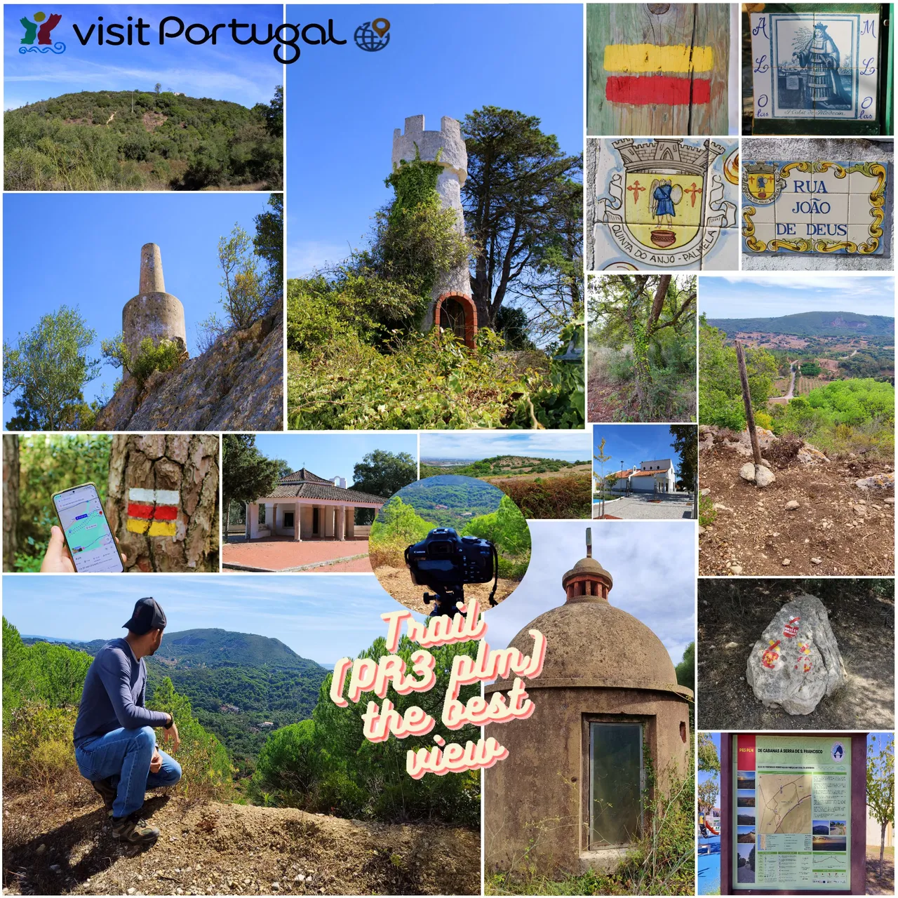
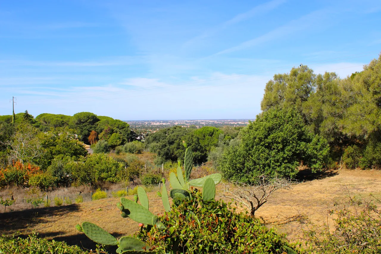
Good morning fellow travelers, I am once again appearing in this super community to share with you a new experience. Today I walked among the hills and valleys of the "San Francisco" mountain range. It should be added that this is the first time I have visited the area and I am excited about all the new things I will discover. For this adventure I will take a trail called (PR3 plm) that passes through Palmela, Setubal and Arrabida. Along the route, approximately 5km long, we will visit several points of historical interest. Don't miss my post!🍍🚙
Buenos dias amigos viajeros, nuevamente aparezco por esta super comunidad para dejarles una nueva experiencia, hoy camine entre las colinas y los valles de la sierra de "San francisco" cabe anadir que es primera vez que visito la zona y estoy emocionado por todas las cosas nueva que descubrire, para esta aventura realizare un sendero llamado: (PR3 plm) que pasa por Palmela, Setubal y la Arrabida, en el recorrido de aproximadamente 5km iremos visitando varios puntos de interes historico, no te pierdas mi post!🌎⛰️
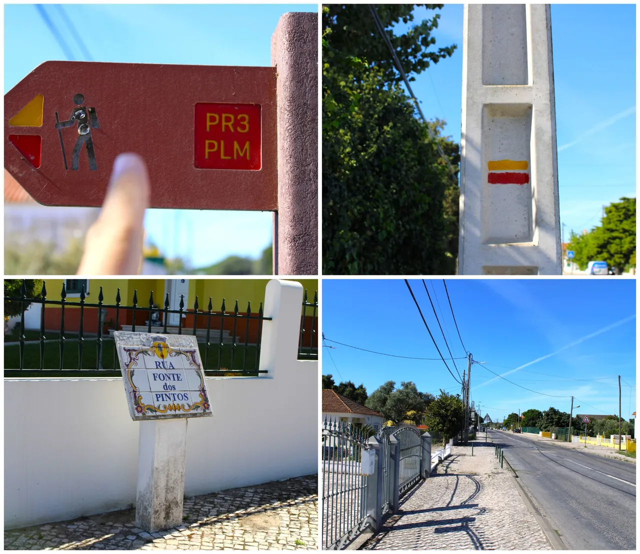
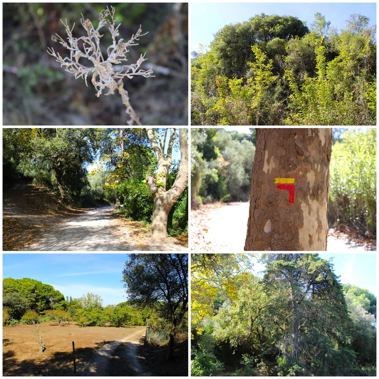
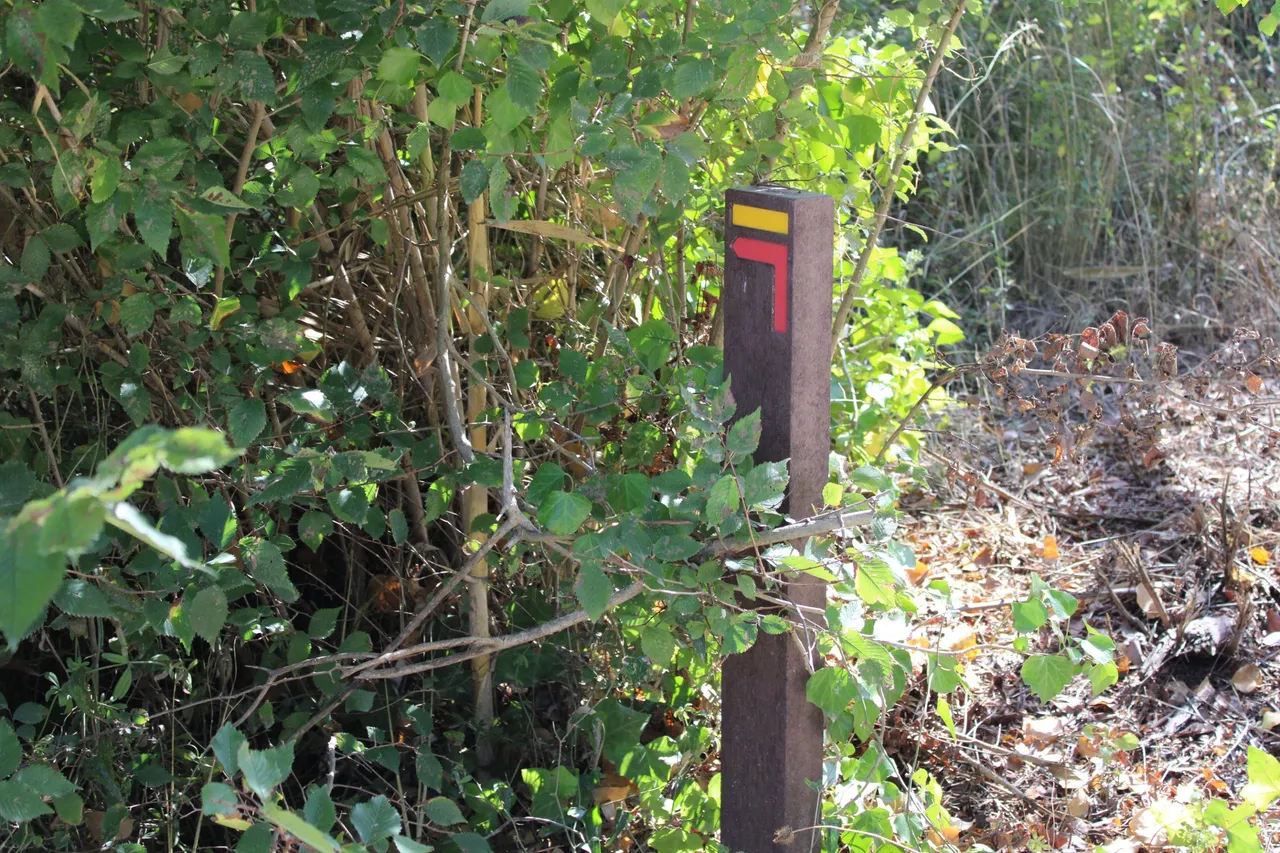
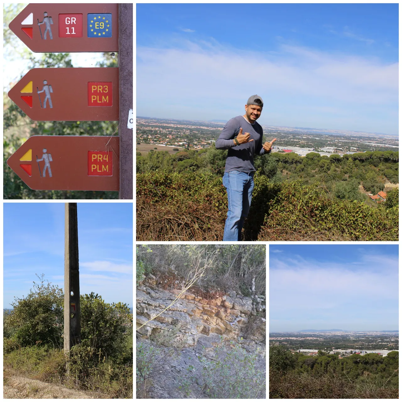
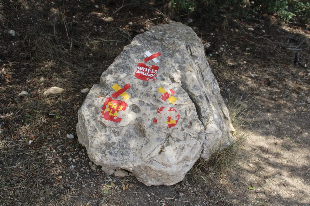
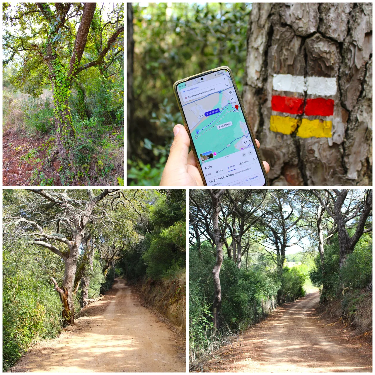
Trailhead and features🚙⛰️ /Inicio del sendero y caracteristicas🌎🚩
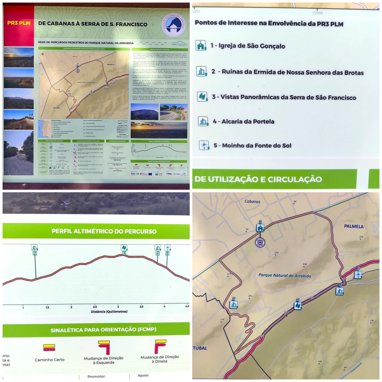
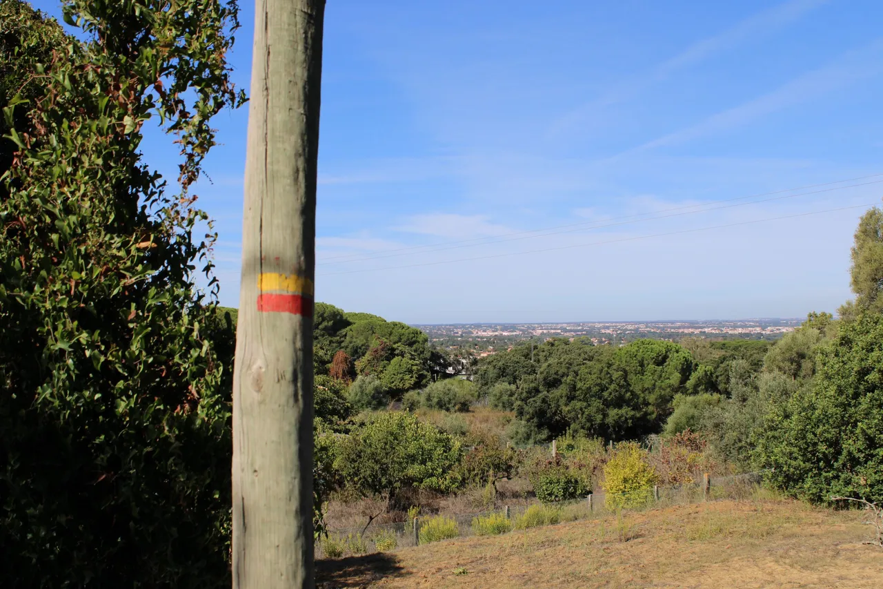
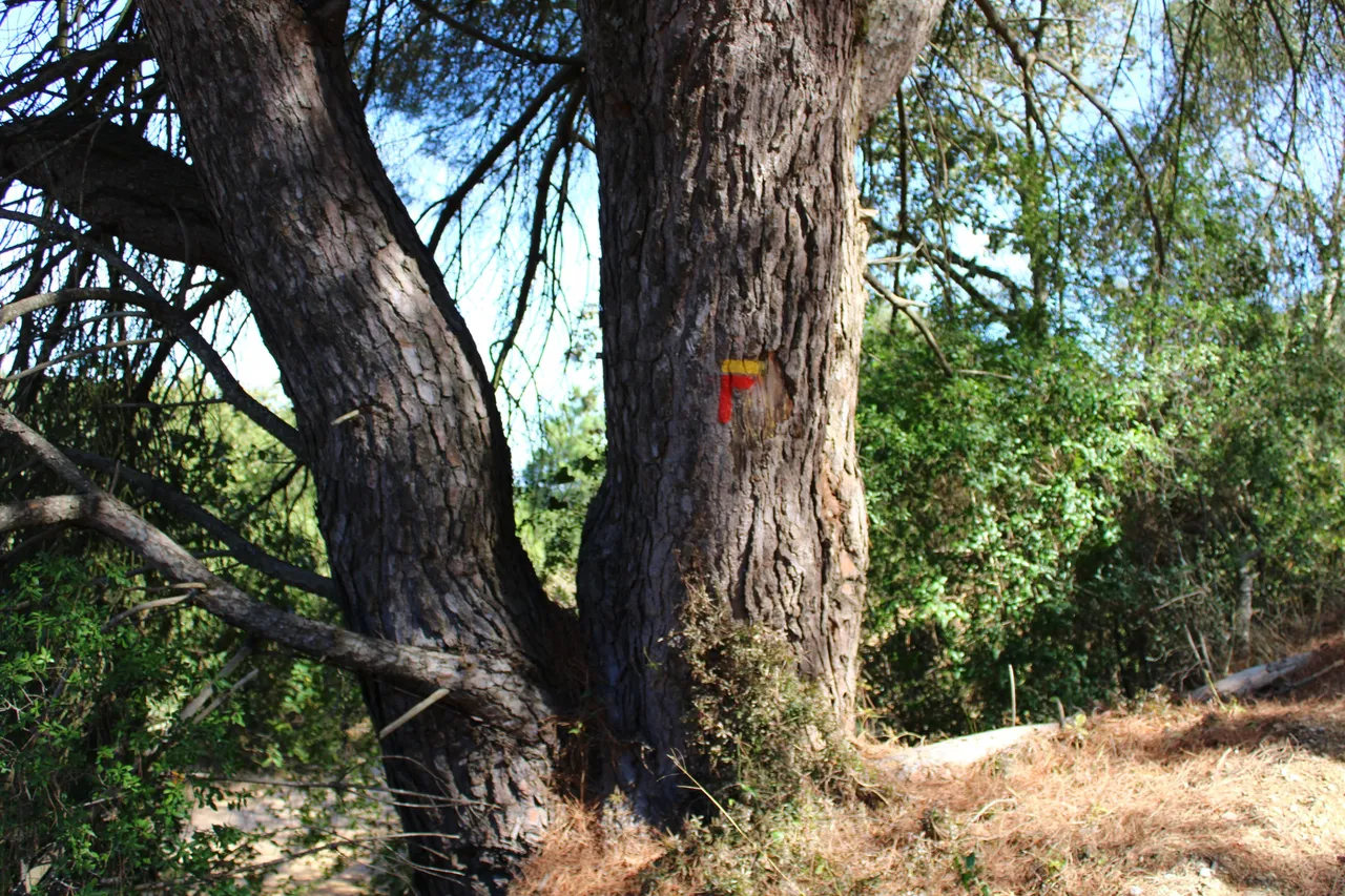
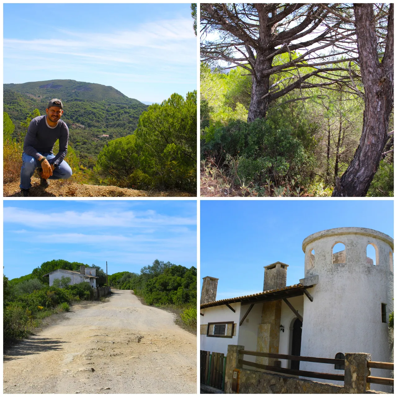
This trail is well signposted, impossible to get lost and you start the walk in the village of "Cabanas", it is more than 6 kilometers long, it is circular, meaning the end point culminates at the starting point literally you go around the mountain in a circle, the characteristics of the terrain are good you do not have to climb or do anything that requires a great level of strength therefore you can do it with your family, while you walk through the mountain you will visit five points of interest: (sao goncalo church, ruins of the sra brotas chapel, panoramic views of serra san francisco, alcaria da portela and the fuente de sol mill). We will visit all of these on the walk.🚩🌎
Este sendero esta bien senalizado, imposible de perderte e inicias la caminata en la aldea de "Cabanas", tiene una extension de mas de 6 kilometros, es circular osea el punto final culmina en el punto de inicio literal das la vuelta en forma de circulo a la sierra, las caracteristicas del terreno son buenas no tienes que escalar o hacer algo que exija un nivel de fuerza grande por tanto puedes hacerlo en familia, mientras recorres la sierra vas visitar cinco puntos de interes: (iglesia sao goncalo, ruinas de la capilla sra brotas, vistas panoramicas serra san francisco, alcaria da portela y el molino fuente de sol). Todo esto lo visitaremos en la caminata.🚵🏻♀️🏰
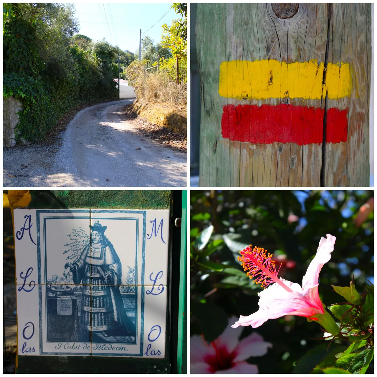
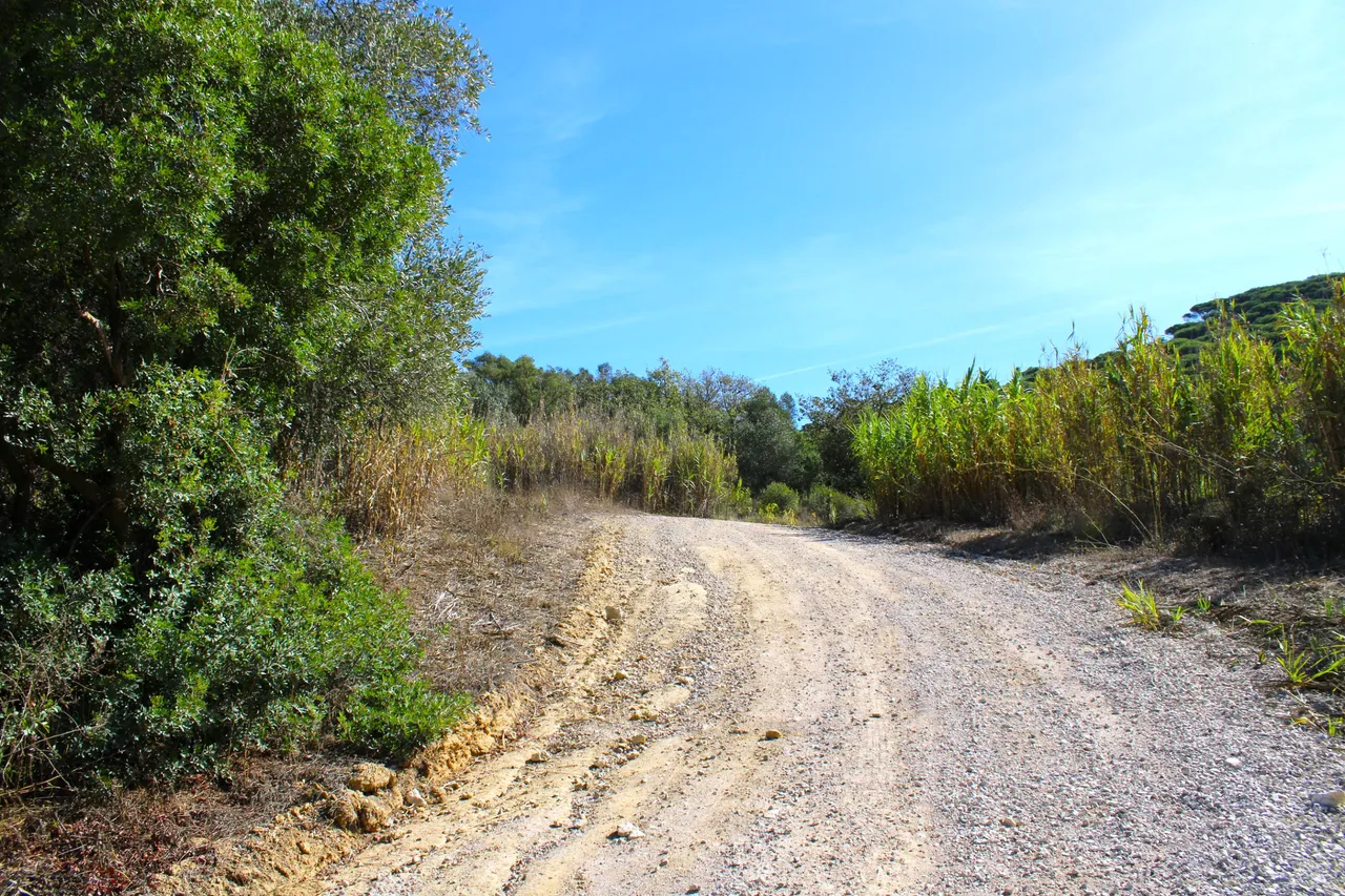
I got up very early to do the trail, it was 8.30am and I started from the village of "Fundo da Vala" which is small and pretty and in the distance you can see the mountains which we are going to climb in a few kilometers, you can get here by public transport vehicle or a personal car, I came dressed in sportswear but with hiking boots, there are stretches in the walk where the roads are sandy and if it rains they become in bad condition, here we see an 18th century church that was remodeled.🌎🚩
Me levante muy temprano para hacer el sendero eran las 8.30am y comence desde la aldea de "Fundo da Vala" que es pequena bonita y a lo lejos se ven las sierras a las cuales vamos a subir en unos kilometros, puedes llegar aqui por vehiculo de transporte publico o un carro personal, me vine vestido deportivo pero con botas de excursion hay trayectos en la caminata que los caminos son de arena y si llueve se ponen en malas condiciones, aqui vemos una iglesia del siglo XVIII que fue remodelada.🚙⛰️
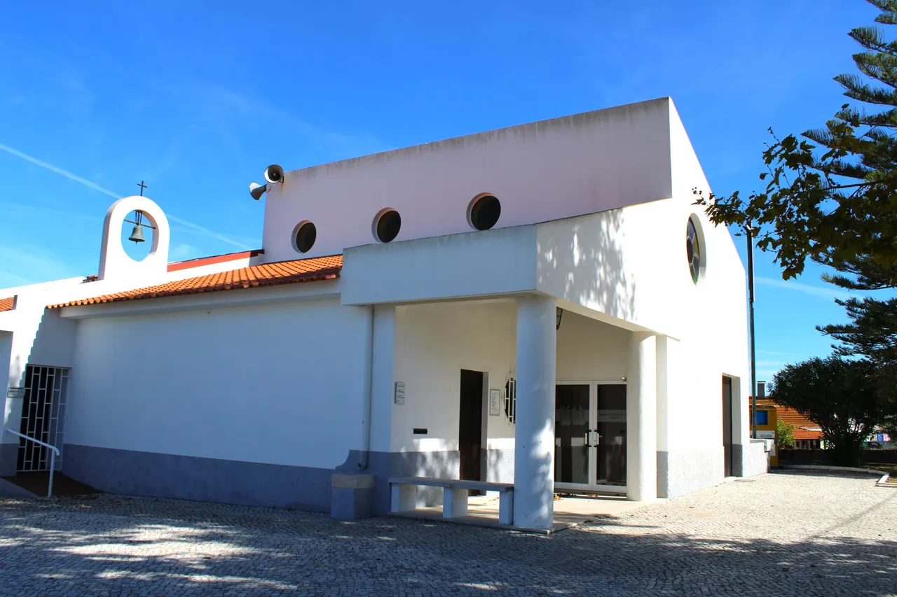
Church of "São Gonçalo"🚙⛰️ /Iglesia de São Gonçalo🌎🚩
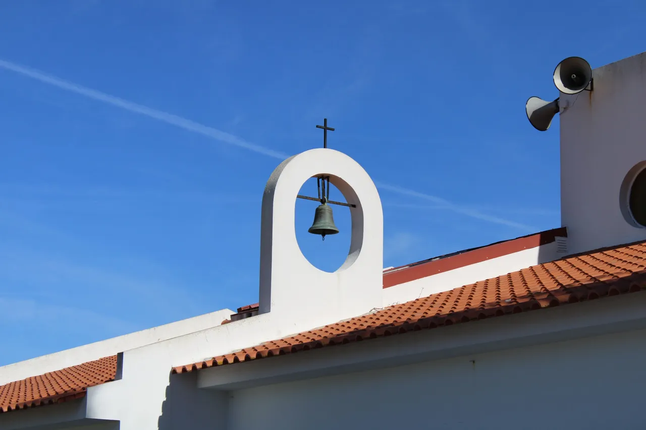
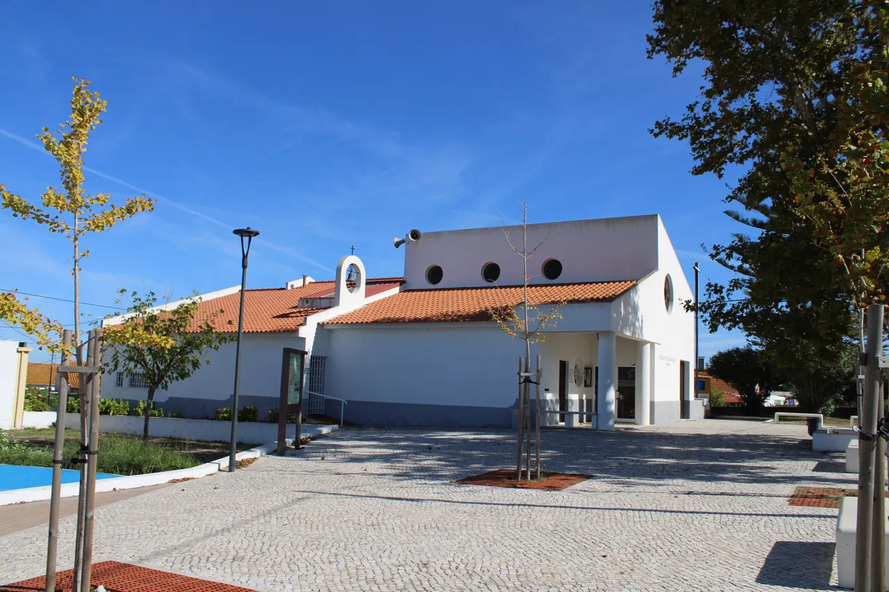
São Gonçalo⛲🚩
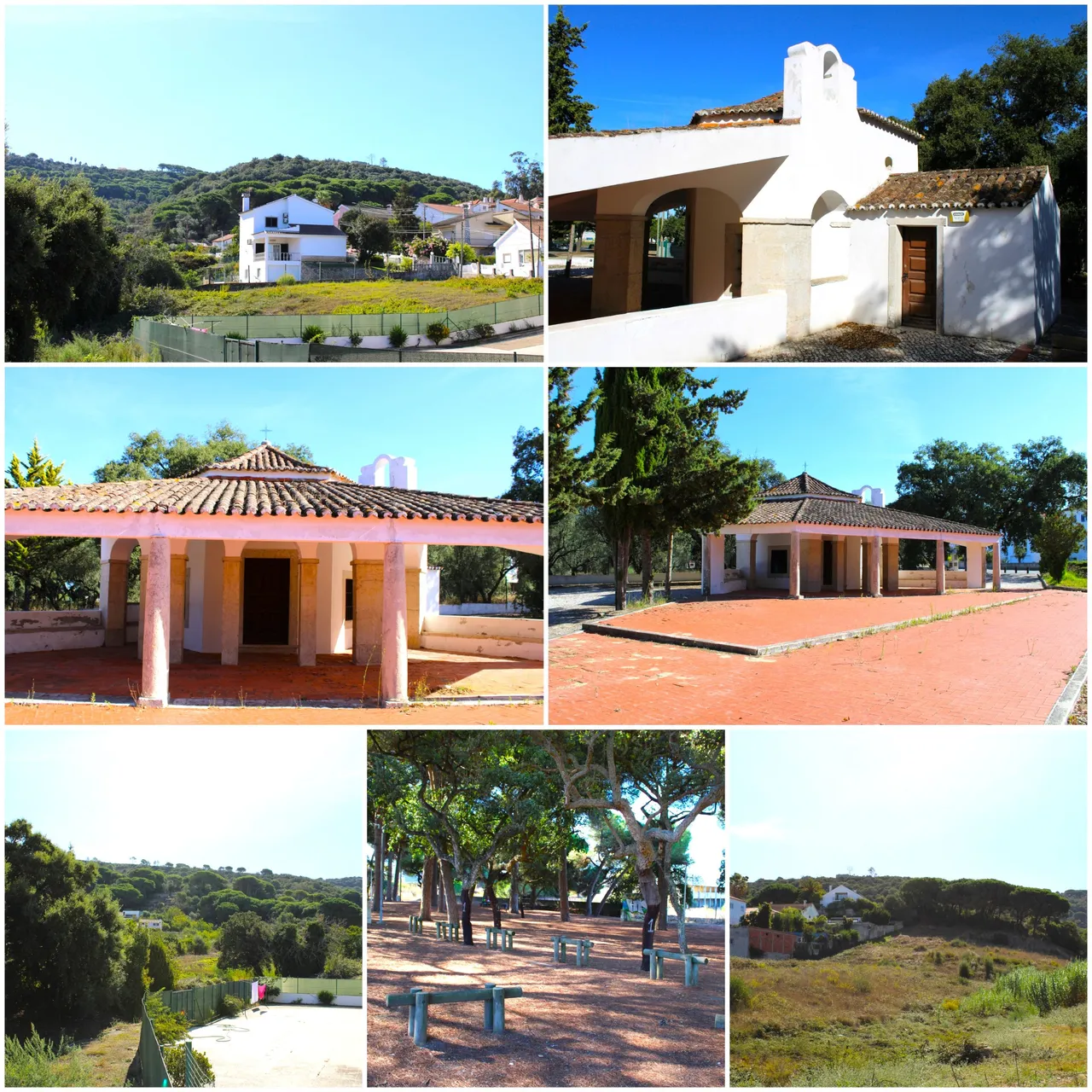
Our first point of tourist interest on the walk starts at the same time we reach the trail sign, it is this beautiful and modern church that was built in the 80s and that underwent recent works in 2016, with so many old things in Portugal I can say that this is the newest church I have visited xD, that's how interesting the country is, it is not open to the public so we can only see it from the outside.🧭📸
Nuestro primer punto de interes turistico en la caminata inicia al mismo tiempo que llegamos al letrero del sendero, se trata de esta hermosa y moderna iglesia que fue construida en la decada de los 80 y que sufrio obras recientes en el 2016, con tantas cosas antiguas que hay en Portugal puedo afirmar que esta es la iglesia mas nueva que visite xD, asi de interesante es el pais, no esta abierta al publico por tanto solo podemos verla desde afuera. 🚩⛲
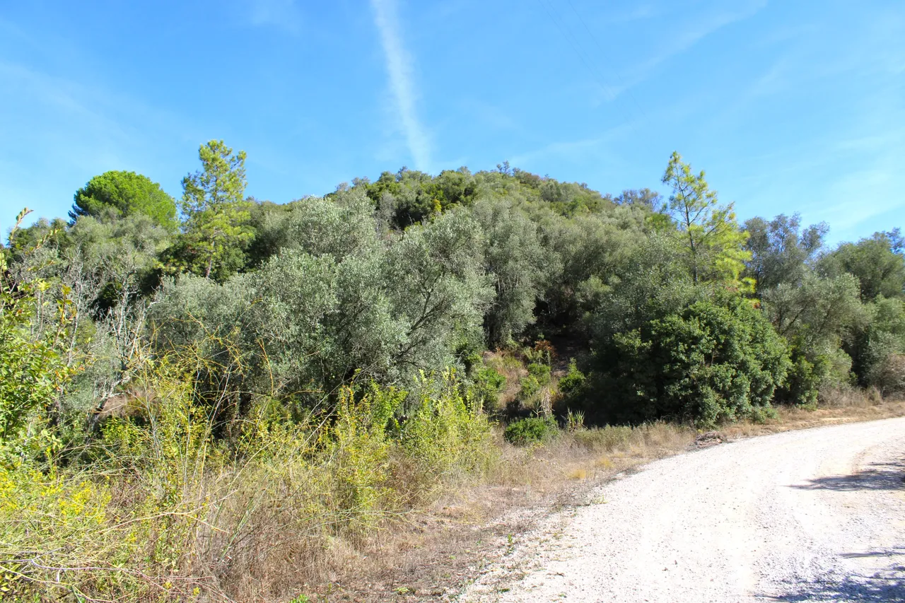
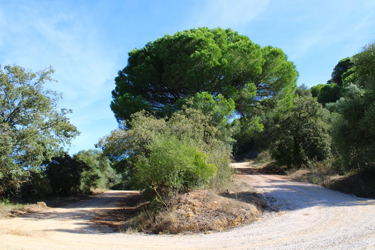
Road to the mountains🚙⛰️ /Camino a la sierra🌎🚩
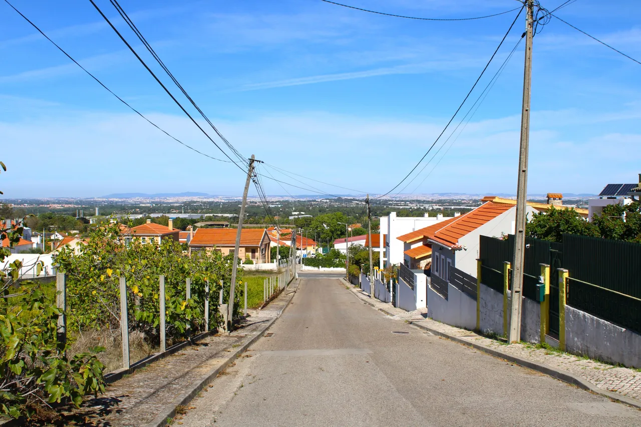
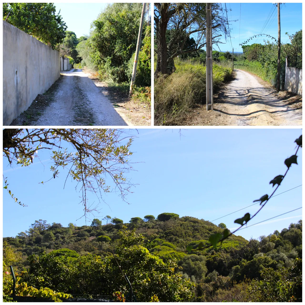
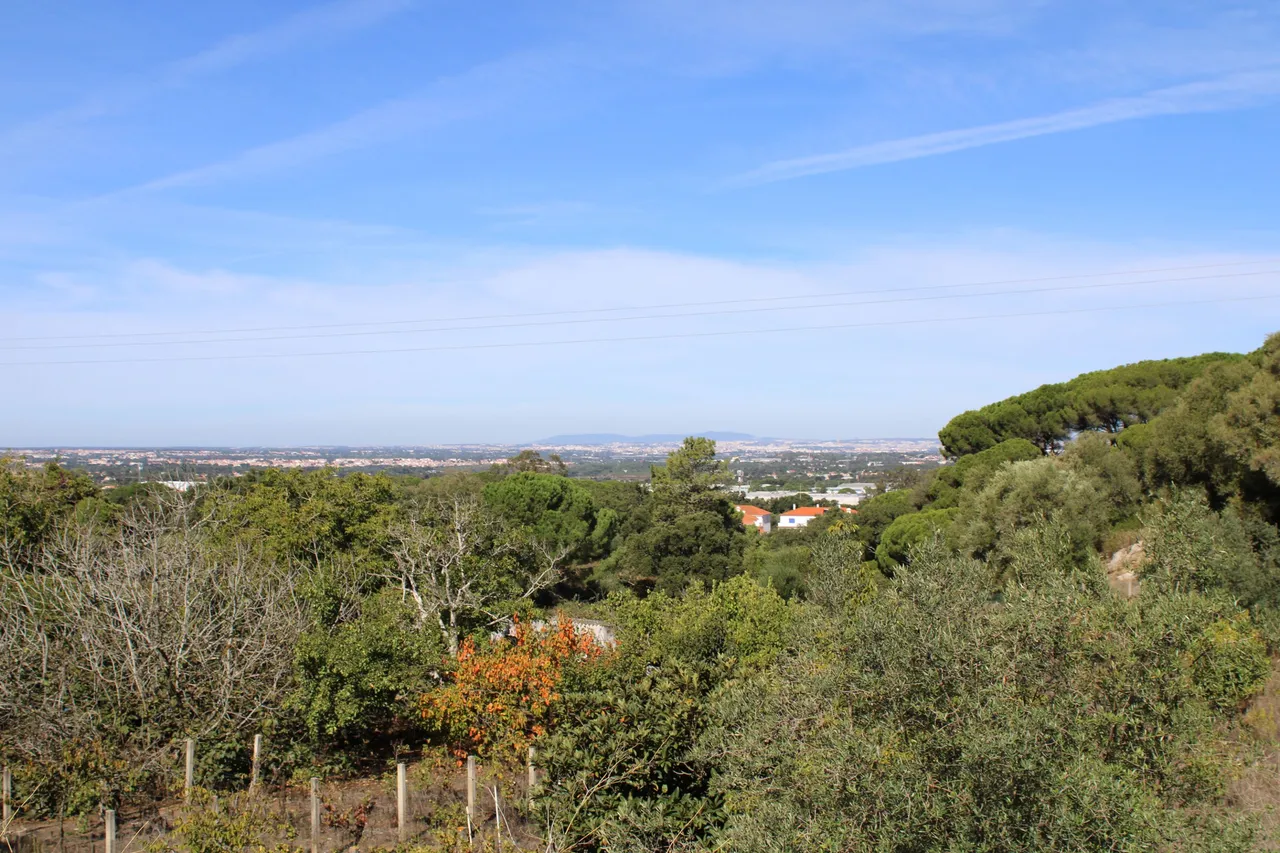
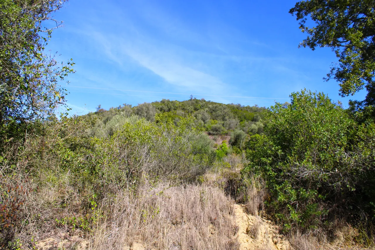
Little by little we advance and the terrain begins to change, we leave behind the village and its beautiful decorations and arrive at the sandy terrain that little by little reveals a beautiful landscape of the center of Lisbon in the distance, from here we will go up approximately 400 meters high which is the highest point of the mountain range and we will have another view towards the south of the "da Arrabida" mountain range.🚙🚩
Poco a poco vamos avanzando y el terreno comienza a cambiar, dejamos atras la aldea y sus hermosas decoraciones y llegamos al terreno de arena que poco a poco nos revela un hermoso paisaje del centro de Lisboa a la distancia, de aqui iremos a subir aproximadamente 400 metros de altura que es el punto mas alto de la sierra y tendremos otra vista hacia el sur de la sierra "da arrabida"🏰🚵🏻♀️
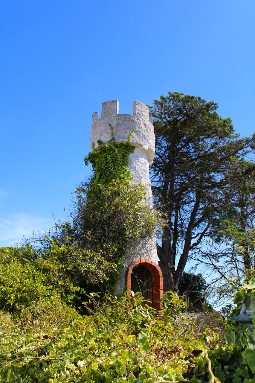
"Nossa Senhora de Brostos" chapel ruins🚙⛰️ /Ruinas capilla "nossa senhora de brotas"🌎🚩
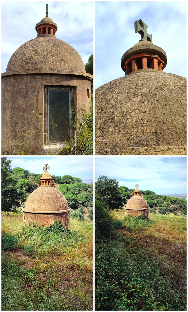
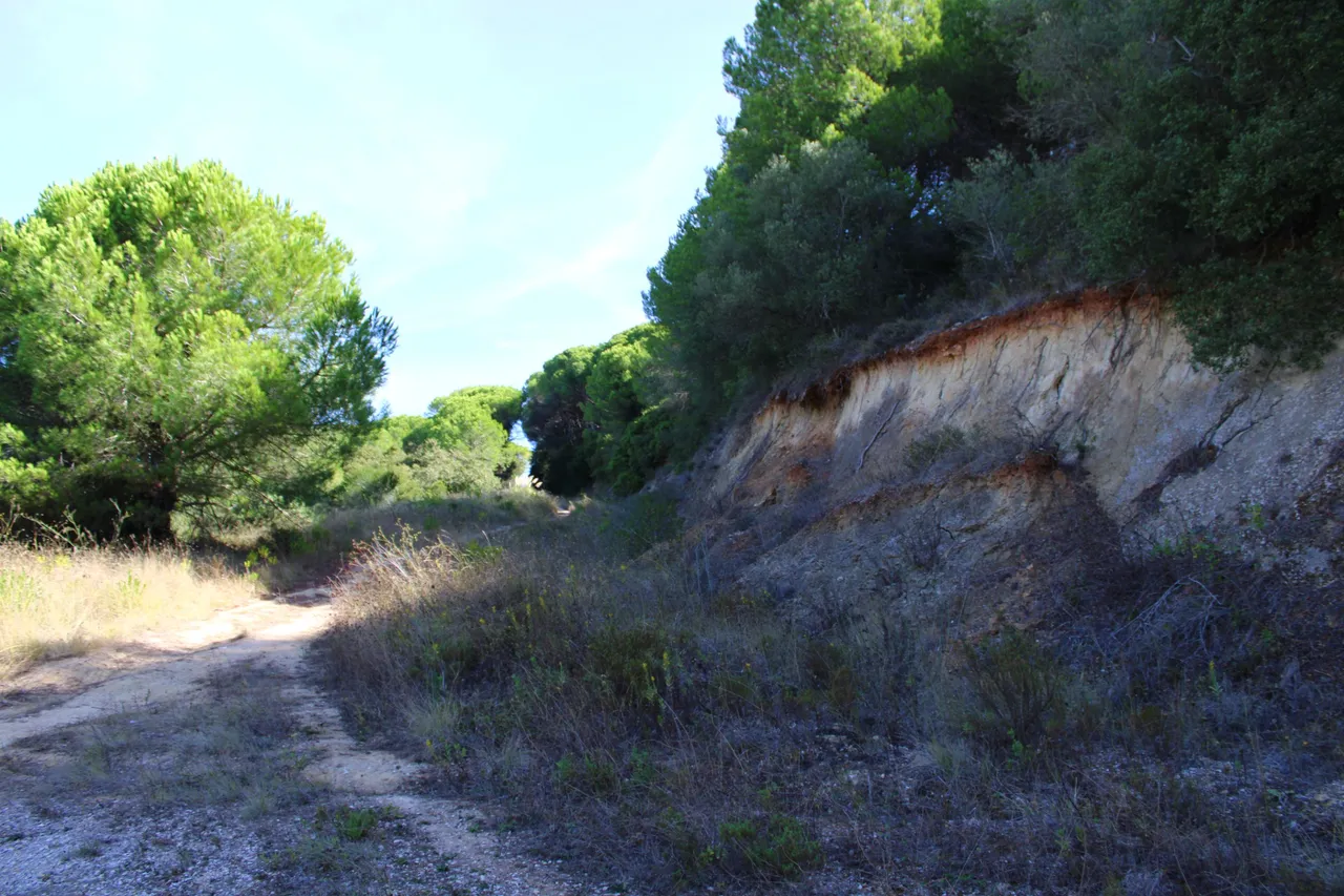
Our next stop is these ruins that belong to a chapel that was normally used for Catholic purposes, for processions or simply as an altar. There is not much information on the internet about this beautiful piece, but many were built in the era after the discoveries in the 15th and 16th centuries. This could be architecture of that time! Do you know how much it costs to recover this? More than 200 thousand euros. That is why the municipal chamber does not spend resources, which is a shame.🚙🚩
Nuestra siguiente parada son estas ruinas que corresponden a una capilla que normalmente eran usadas con fines catolicos para procesiones o simplemente se usaba de altar, no hay mucha informacion en internet de esta bonita pieza pero muchas eran construidas a la era posterior de los descubrimientos XV y XVI podria ser esta una arquitectura de la epoca! sabes cuanto vale recuperar esto? mas de 200mil euros. Por eso la camara municipal no gasta recursos cosa que es una pena.🌎⛰️
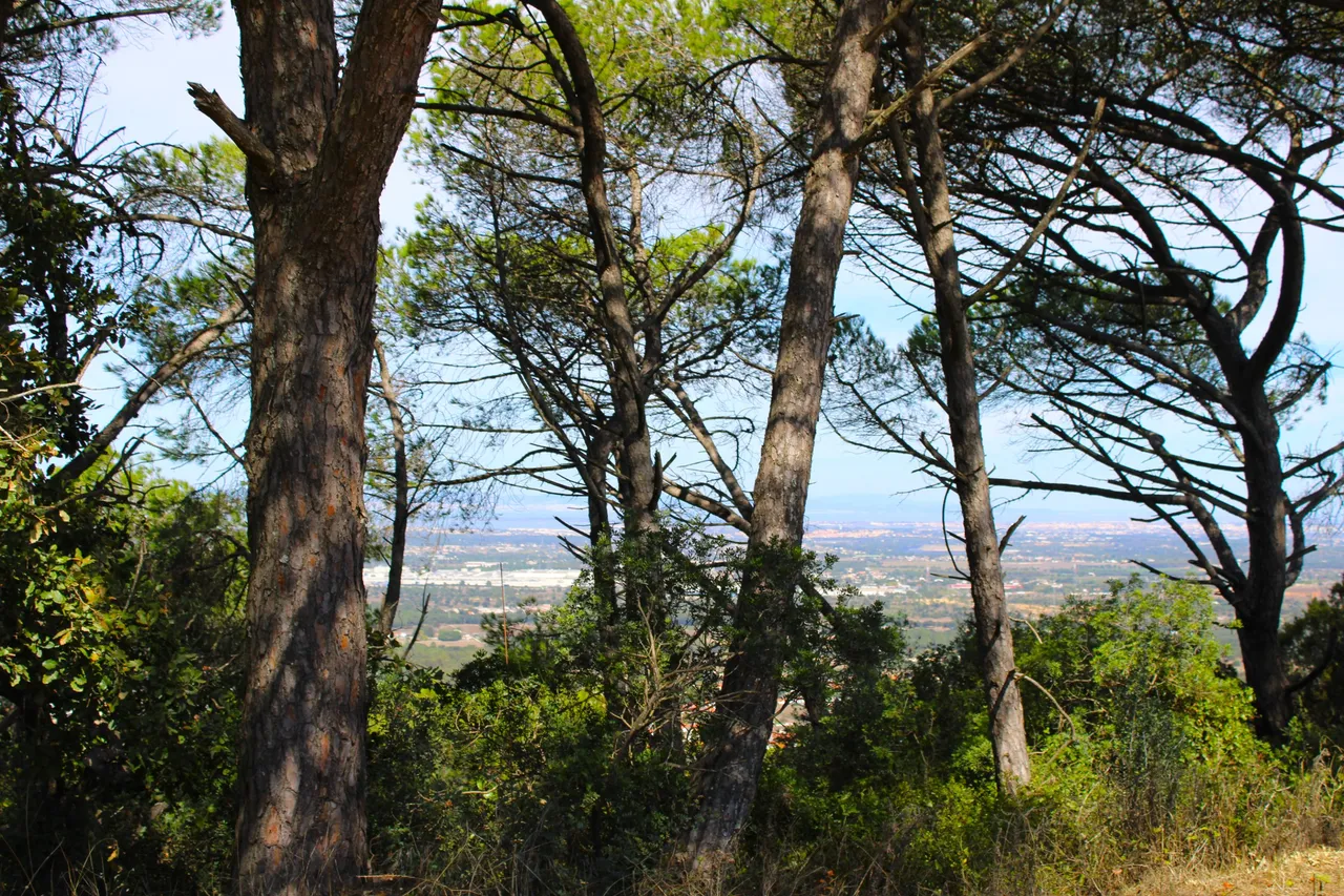
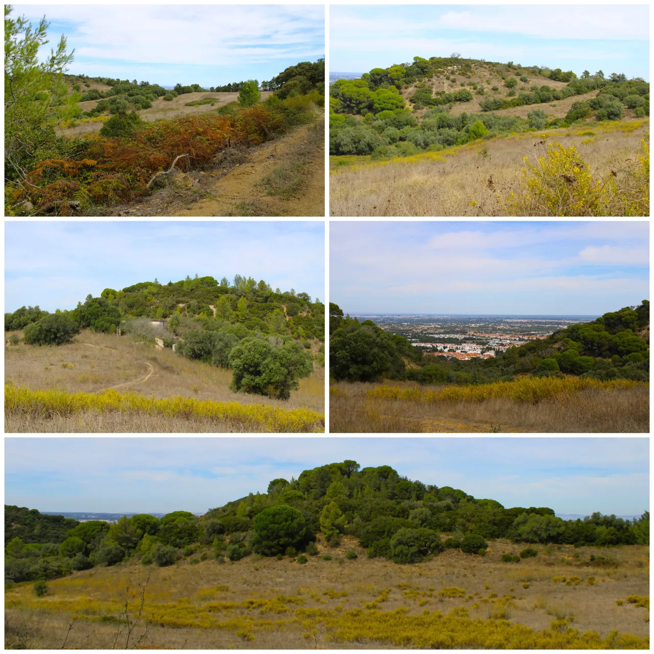
Panoramic views of the "San Francisco" mountain range🚙⛰️ /Vistas panoramicas de la sierra "san francisco"🌎🚩
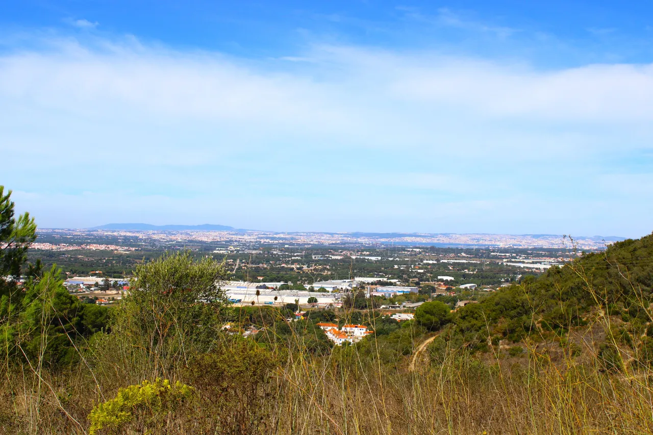
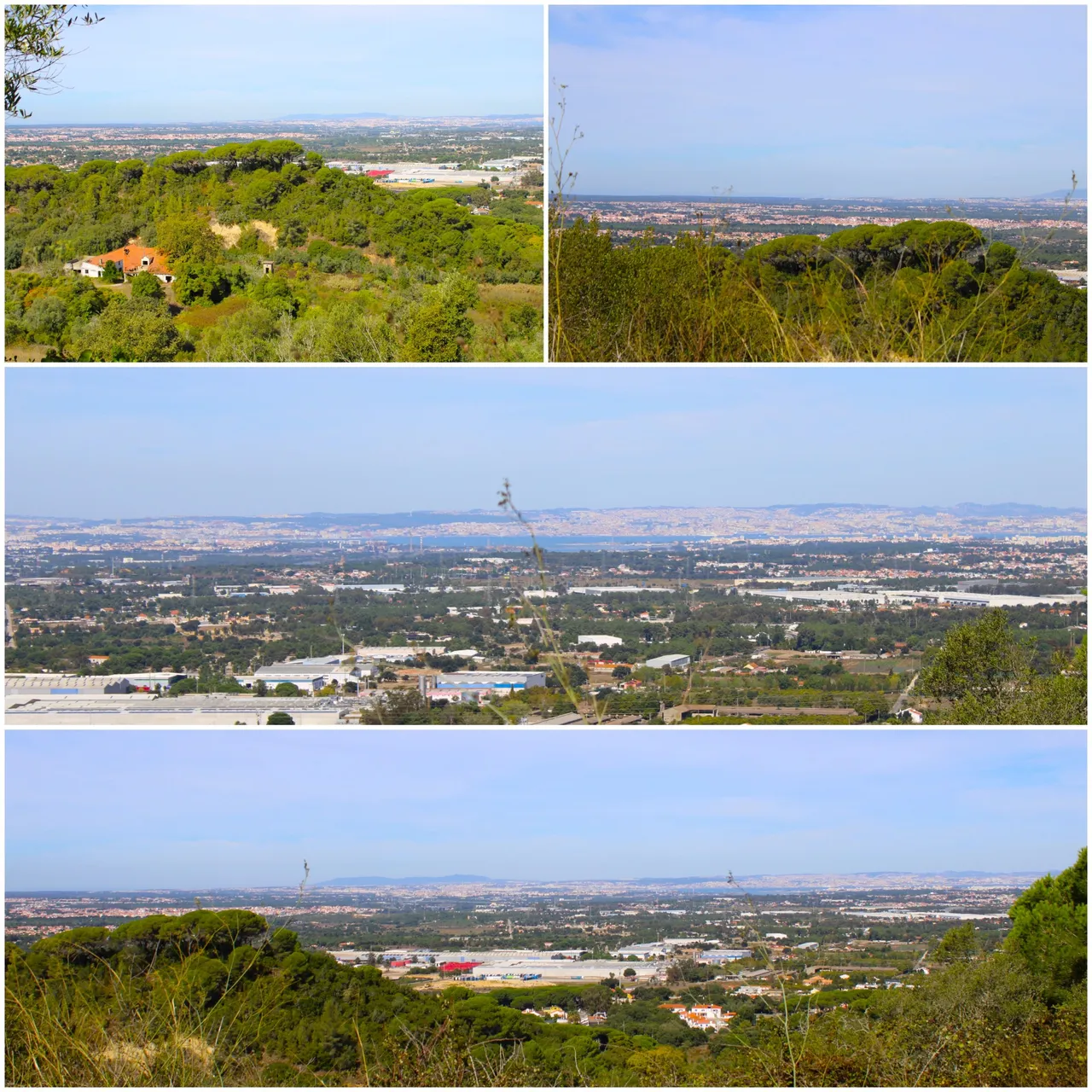
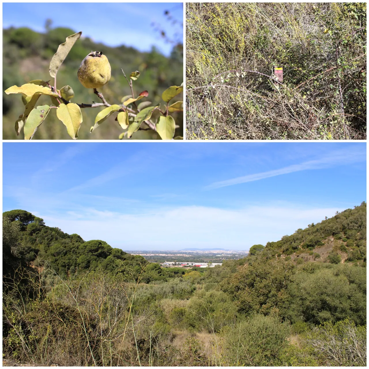
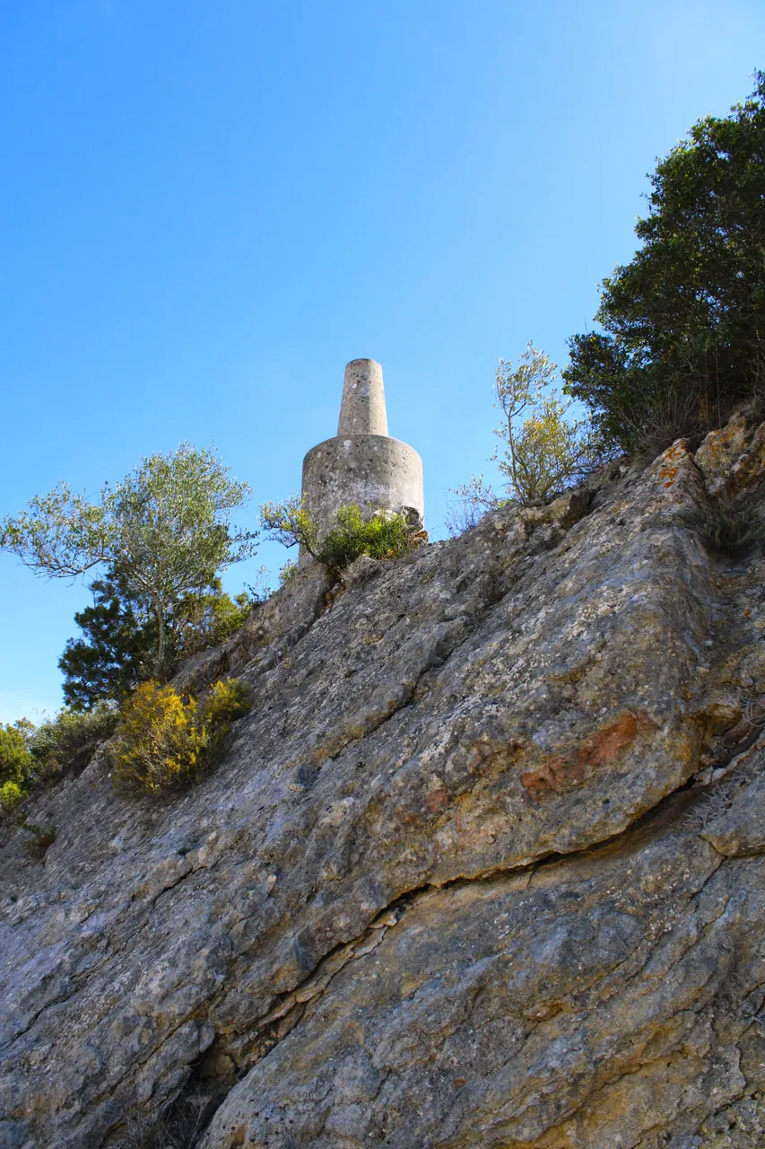
And we reached the highest point of the mountain, normally it would be about 400 meters high. I am trying to locate the geodetic frame, which is like a cement post that is placed at all the highest points in Portugal. I suppose it must be somewhere. The views are amazing. In the distance we have the Tejo River, along with the 25th of April Bridge, and we can see Lisbon and even further away, the Sintra Mountains.🚩🌎
Y llegamos al punto mas alto de la montana, normalmente tendria unos 400 metros de altura estoy intentando localizar el marco geodesico que es como un poste de cemento que colocan en todos los puntos mas altos de Portugal, supongo que debe estar por algun lugar, las vistas son asombrosas a lo lejos tenemos el rio tejo, junto con el puente 25 de abril y alcanzamos a ver Lisboa y mas lejos aun las montanas se Sintra.🚙🚵🏻♀️
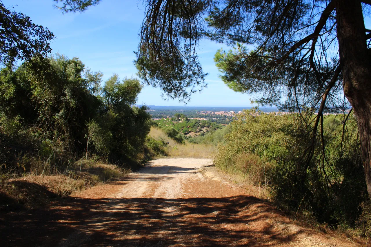
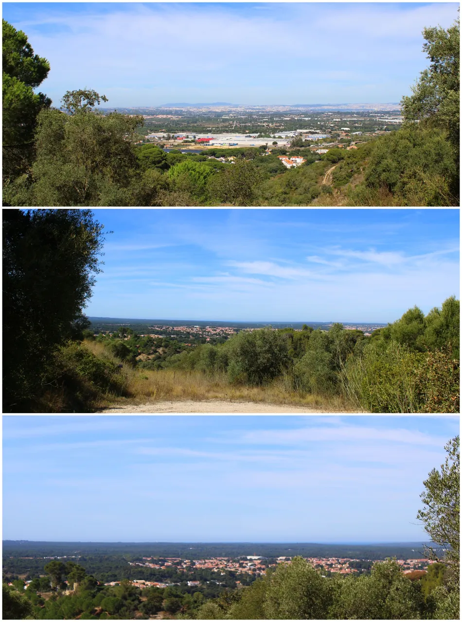
The other side of the mountain range🚙⛰️ /La otra cara de la sierra🌎🚩
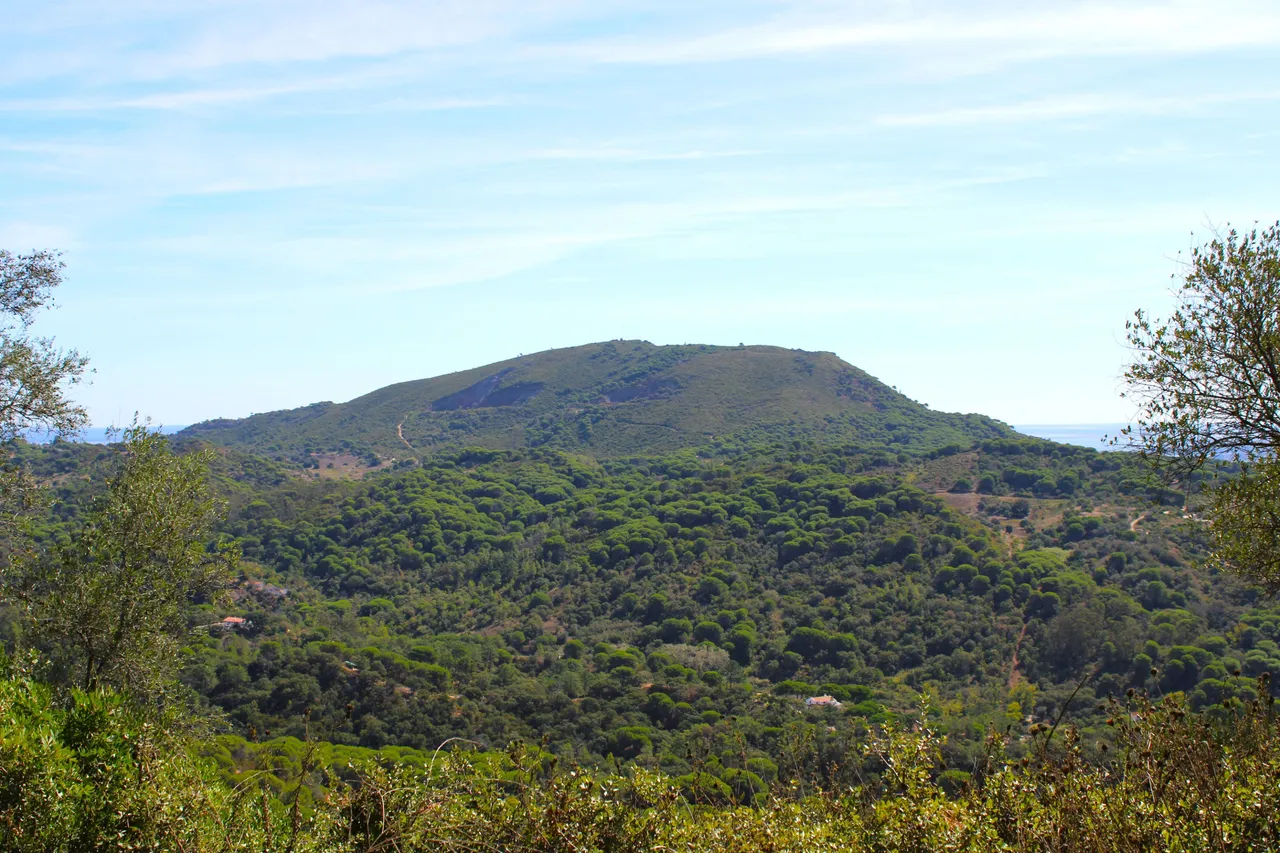
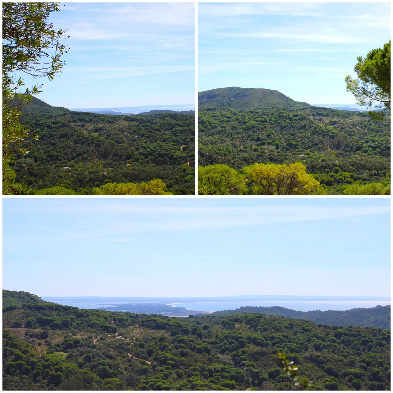
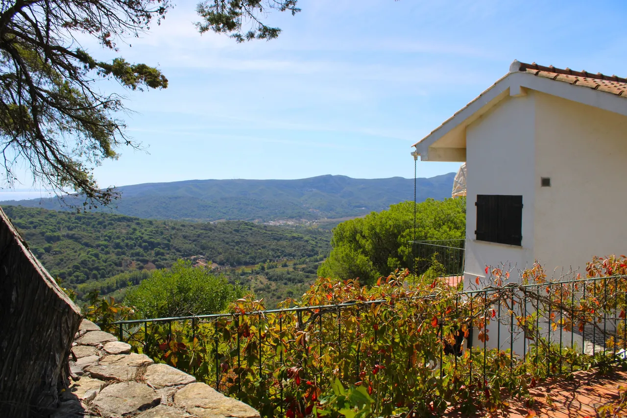
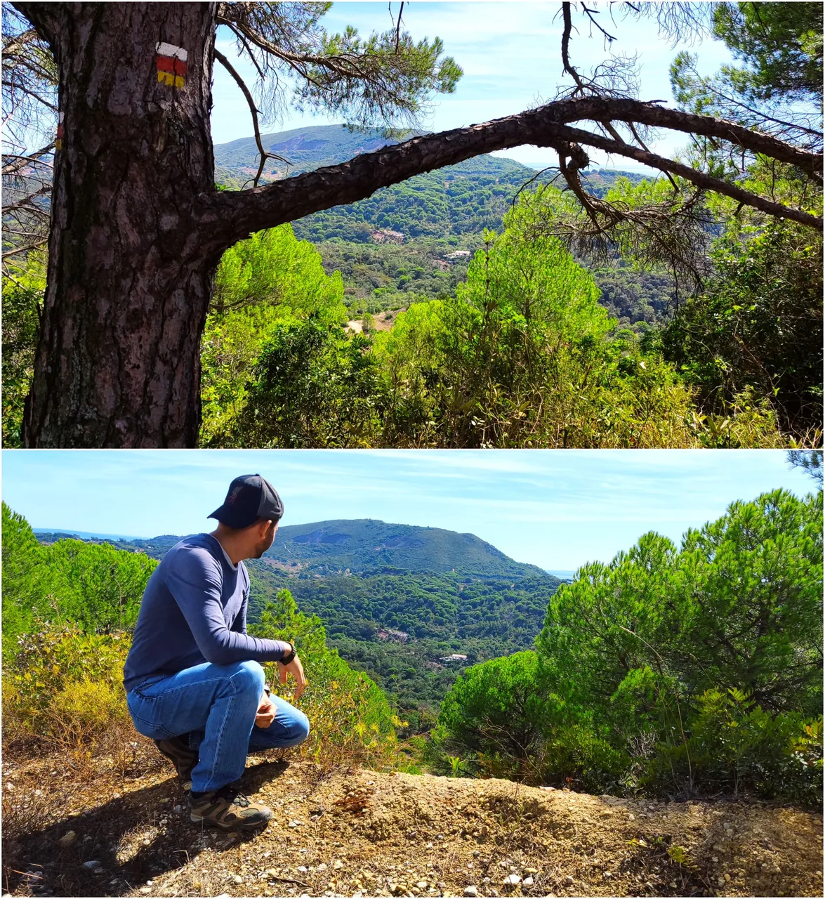
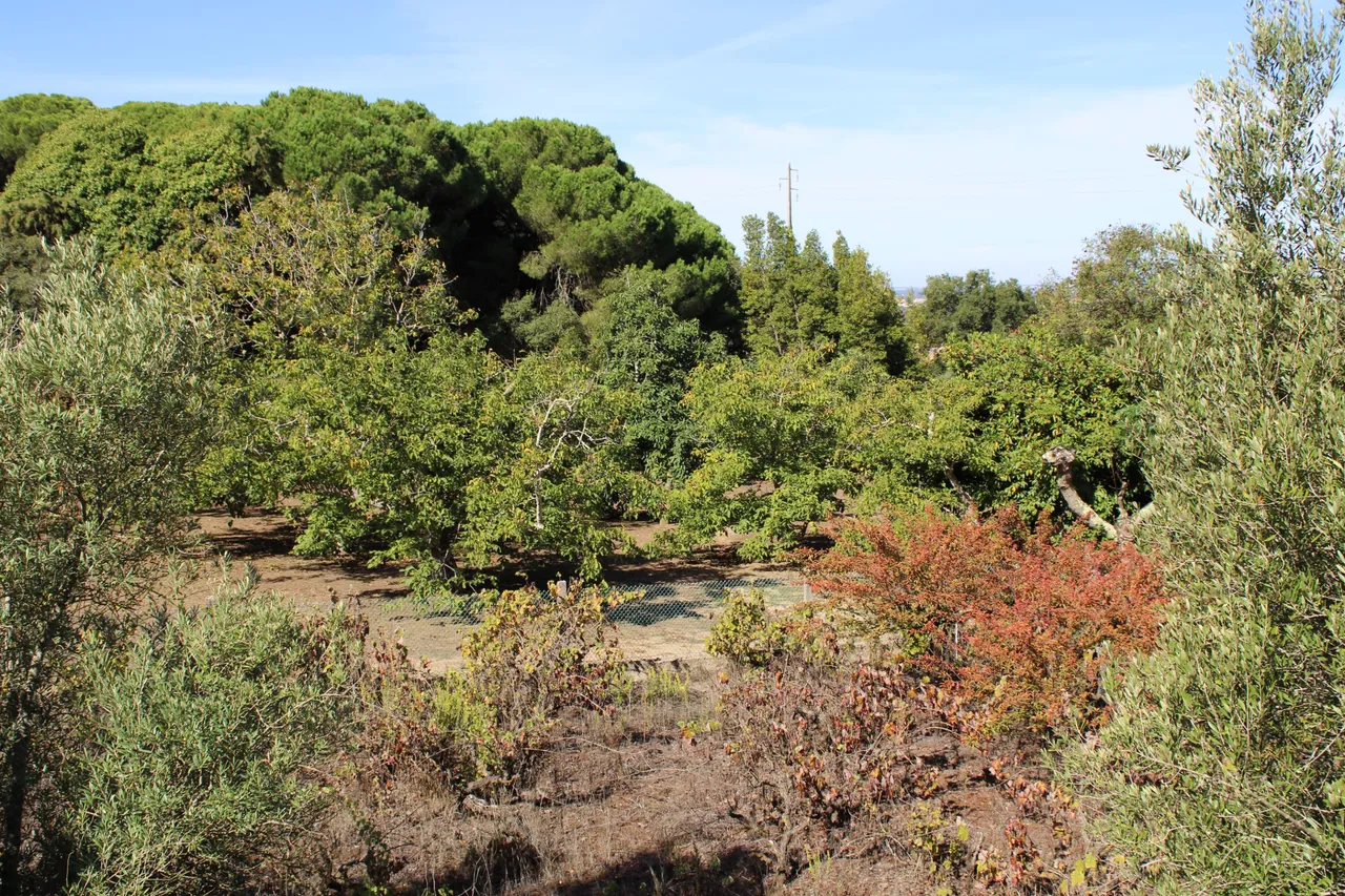
This is by far my favorite part of the hike, the other side of the "San Francisco" mountain range. All those mountains are part of the "da Arrabida" mountain range and other protected mountain ranges. This trail connects with other trails that go down to that valley where there are some small wine-growing villages.🚙🌎
Esta por mucho es mi parte favorita de la caminata el otro lado de la sierra de "san francisco" todas esas montanas forman parte de la sierra "da arrabida" y otras sierras protegidas, este sendero se conecta con otros senderos que bajan hacia ese valle donde hay unas pequenas aldeas vineras.🚵🏻♀️⛰️
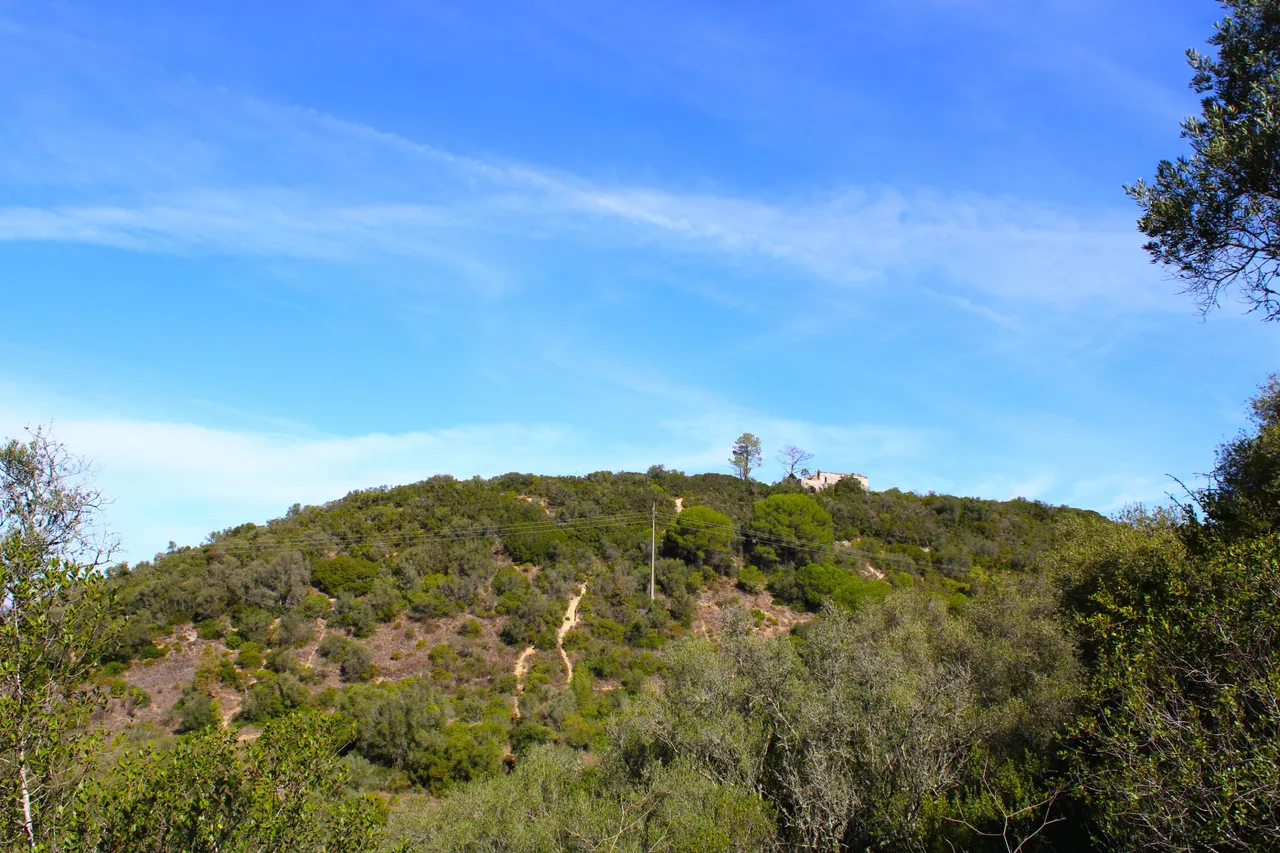
Mill and other places of interest🚙⛰️ /Molino y otros sitios de interes🌎🚩
Trail tracking⛲🚩
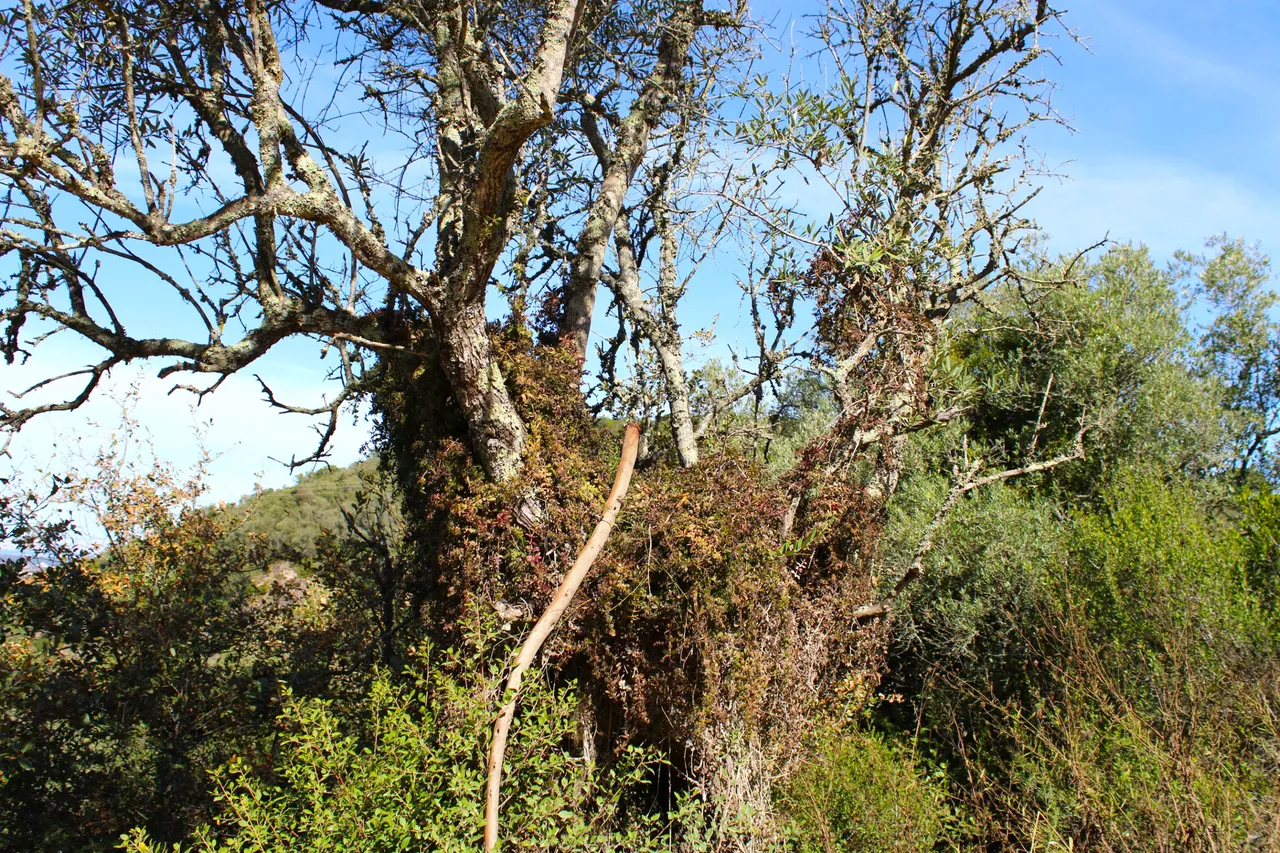
Here we see an old mill which was converted into a private house, it dates back to the 18th century and is the "Fonte da Sol". For me, this trail has the best views of southern Portugal. In the distance you can see a village that was once a space occupied by the Romans. There are really so many beautiful things that motivate you to undertake this adventure.🧭📸
aqui vemos un antiguo molino el cual fue convertido en casa es privado data del siglo XVIII y es el "fonte da sol", para mi este sendero tienen las mejores vistas del sur de Portugal, a lo lejos se ve una aldea que antes era un espacio ocupado por los Romanos, de verdad hay tantas cosas hermosas que motivan a realizar esta aventura. 🚩⛲

DNA is an organization to foster and DENSIFY NATURE-APPRECIATION which aims to establish REPORTS OF BIODIVERSITY DATA that is contributed by all of us Hiveans and subsequently cataloged.
Therefore DNA searches for HIGH-QUALITY posts that aim to DESCRIBE and determine the BIODIVERSITY AROUND YOU with added EXPLANATIONS and INFORMATION. For these informative posts they offer a CURATION SERVICE using the @dna.org account. It is also a CURATION TRAIL. Just add the #dna TAG if you think that any of your posts is what they are looking for.
THANKS FOR READING ME (PHOTOS AND VIDEOS OF MY PROPERTY) / GRACIAS POR LEERME FOTOS Y VIDEOS DE MI PROPIEDAD🙂🧠🦾👍
//:# (//:# (!worldmappin 38.54754 lat -8.95821 long d3scr))