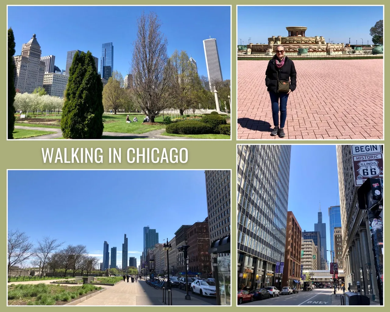
Hello, Hivers and Wednesday Walkers!
Today I'm going to tell you about another of the walks I did on my trip to Chicago last month. And it's actually the walk I did following the one I showed you last week at @coquicoin/a-little-walk-at-chicagos-riverwalk. It was past noon and I had arranged to meet my son for lunch and spend the afternoon together while my husband attended some activities at the film festival to which he was invited.
My son and I met in the Loop, downtown Chicago, across from Millennium Station. He insisted that we grab a quick bite to eat and go for a walk. And he took me to what he said was his favorite fast food when he wanted to eat chicken. He told me it was a Midwest chain and I had to try it. And he took me to Raising Cranes.
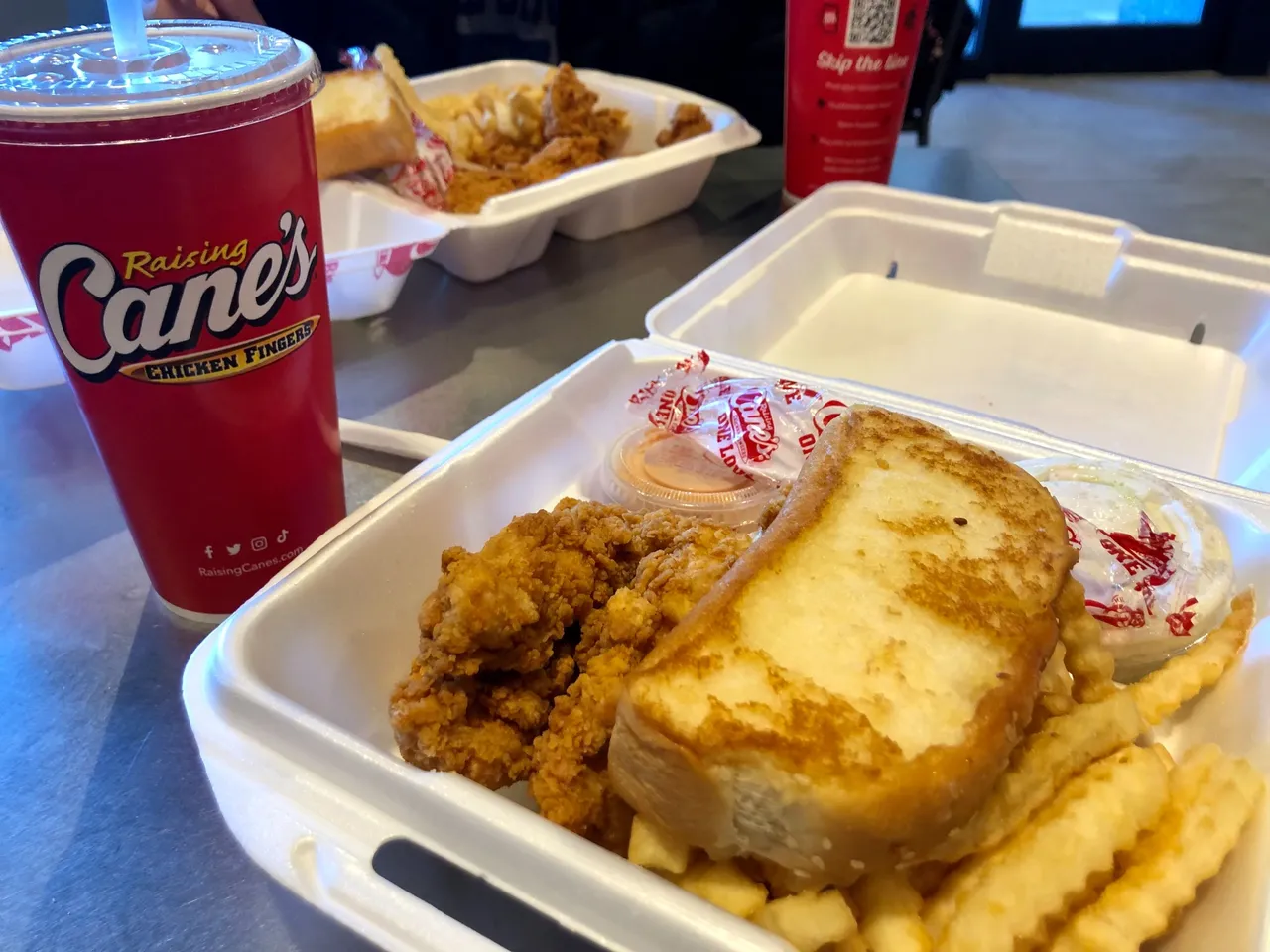
After eating all that combo I felt guilty and needed to walk to get off all those carbs I'd been eating. But the good company and the food was worth all the carbs, lol.
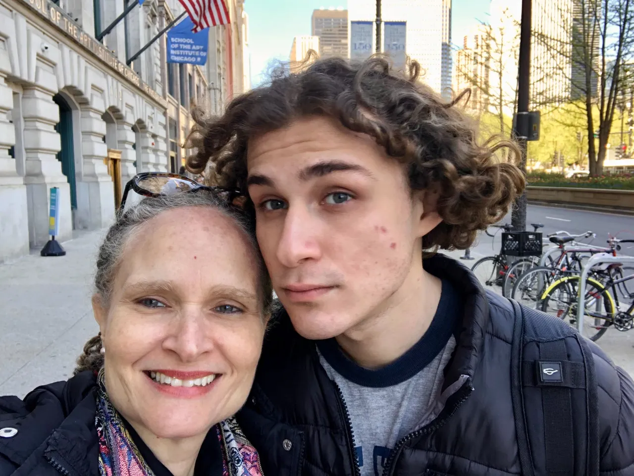
We were almost in front of the Art Institute of Chicago. Another time I will tell you about the visit I made to the museum another day. At that time, we just wanted to walk around and my son suggested we take a stroll through Grant Park.
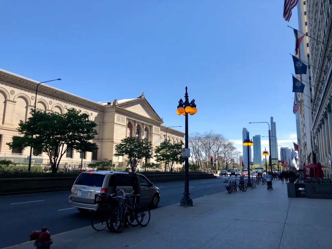
We walked in front of the Art Institute building and at the corner, I took these pictures because I liked the view of the street and the buildings in the background. That night, I realized that by chance I had been where the sign of the beginning of the mythical Route 66 is. Of course, then I had to go back with my husband to the site because he has always wanted to do a road trip on Route 66, one of the most famous routes in the US.
U.S. Route 66 or U.S. Highway 66 (US 66 or Route 66) was one of the original highways in the United States Numbered Highway System. It was established on November 11, 1926, with road signs erected the following year.[3] The highway, which became one of the most famous roads in the United States, ran from Chicago, Illinois, through Missouri, Kansas, Oklahoma, Texas, New Mexico, and Arizona before terminating in Santa Monica in Los Angeles County, California, covering a total of 2,448 miles (3,940 km) More info.
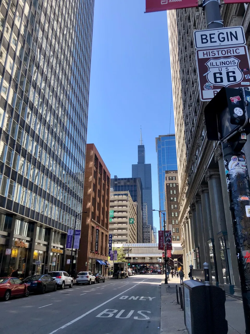
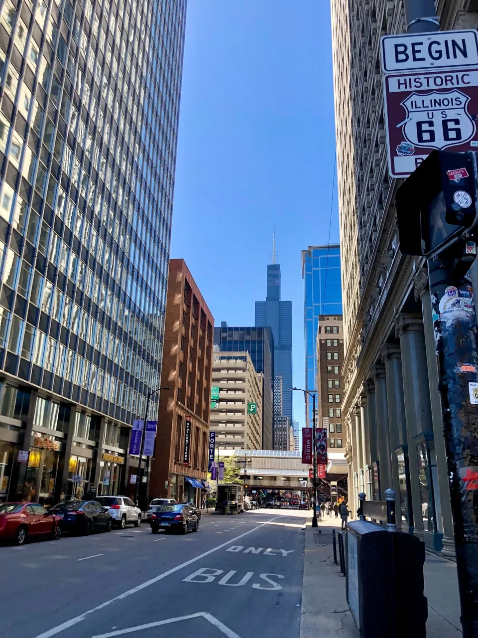
That day we continued on our way and crossed Michigan Ave. Of course, I took some pictures of the view at that point towards the north.
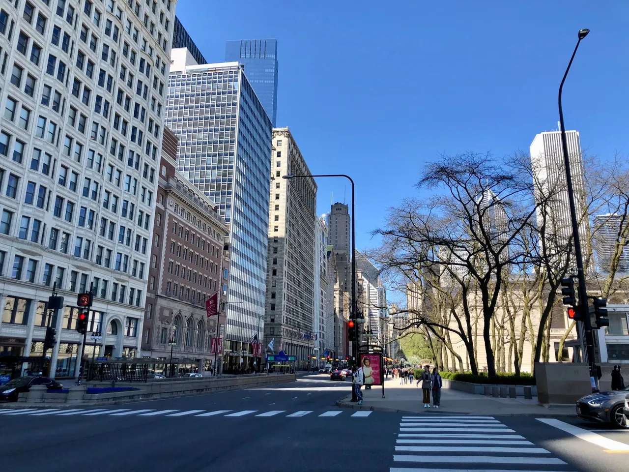
And towards the south. And it's amazing but this area of Chicago offers beautiful, photogenic views in every direction.
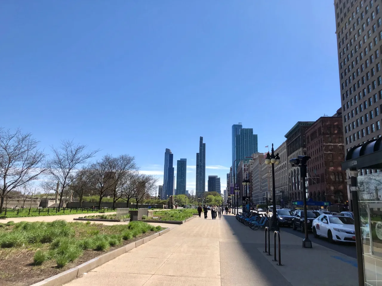
From there, we crossed over a pedestrian bridge that leads to Grant Park and crossed over the railroad tracks of the Metra electric train system, which I will tell you about another time.
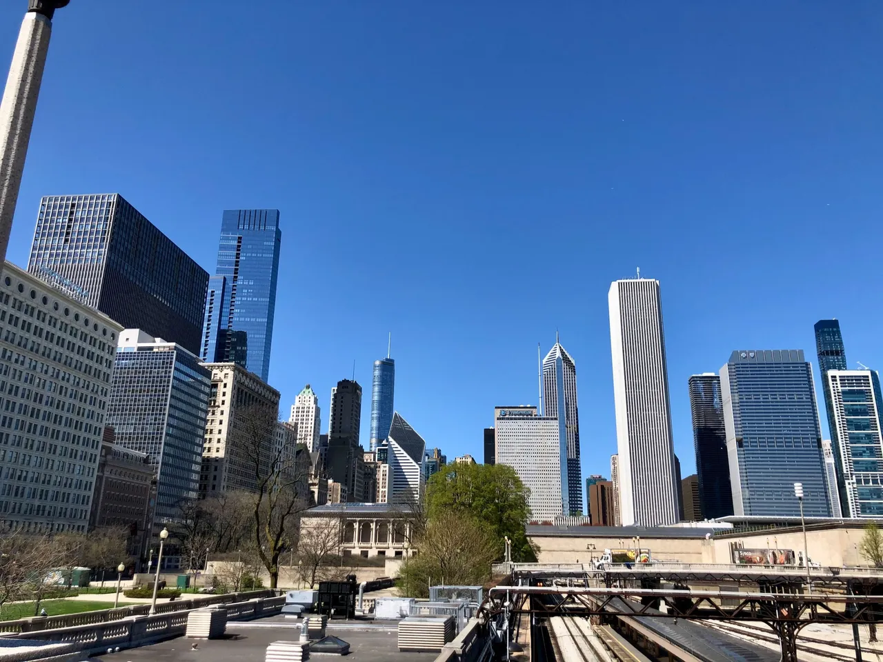
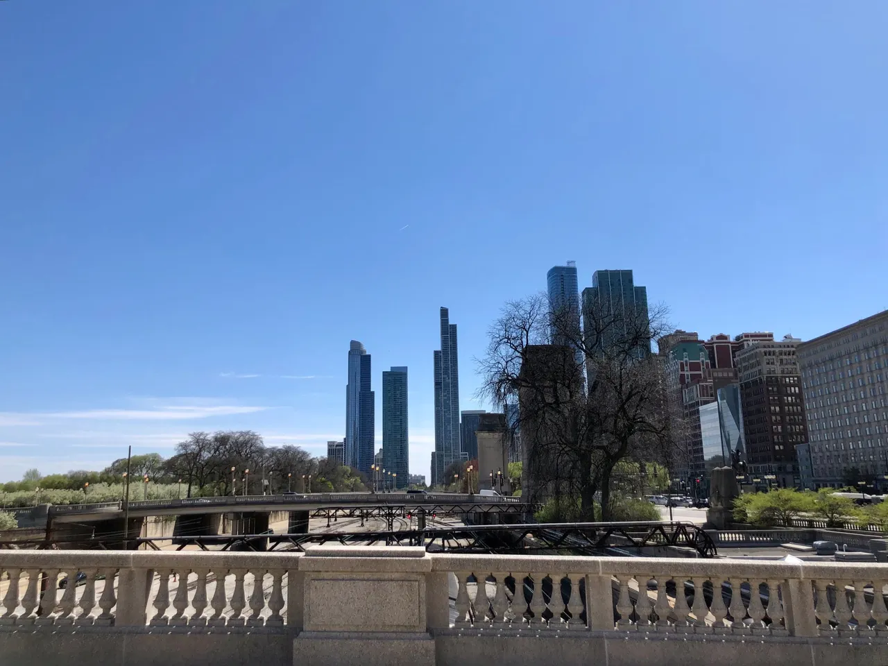
Grant Park is a huge park in the center of the city. In it there are museums, some icons of the city and it is also where some big festivals are held especially in summer, such as the Lollapalooza music festival.
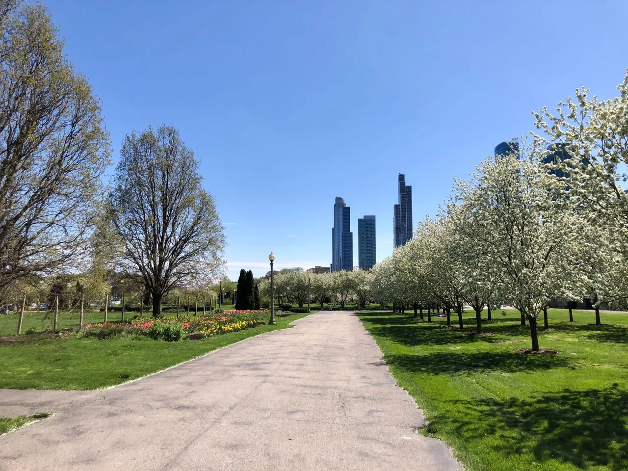
Of course, it also has many green areas and even though it was quite cold that day, some people were enjoying sitting on the grass.
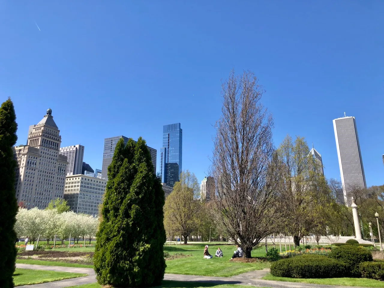
One of the icons of the park is the Buckingham Fountain. But when I visited it was not yet the season in which it is in operation. The fountain is lit in the summer months and at night it is illuminated.
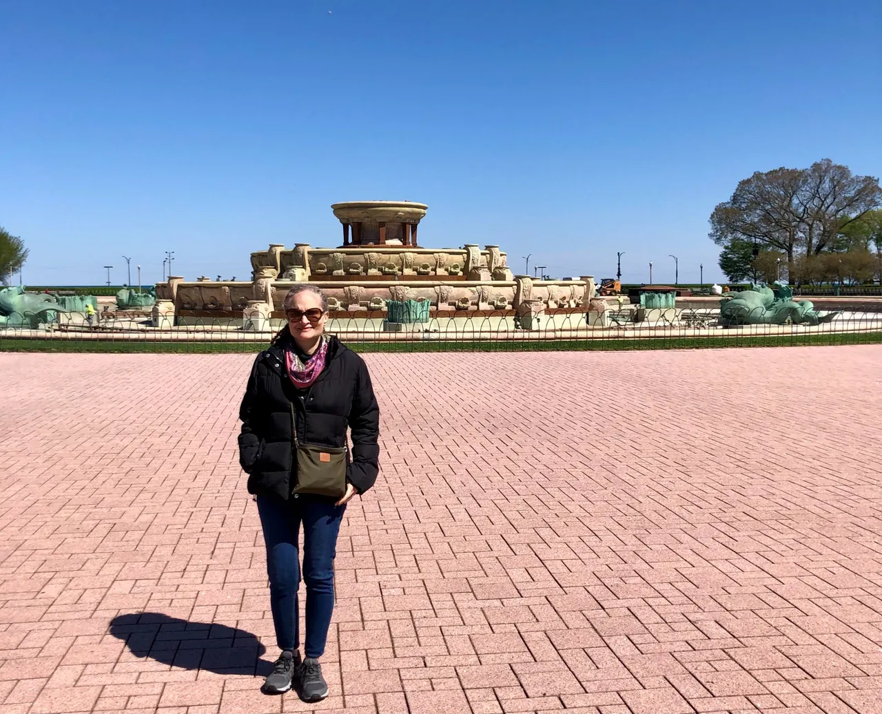
The area where the fountain is located is immense and I imagine that in summer it must be very pleasant to walk there.
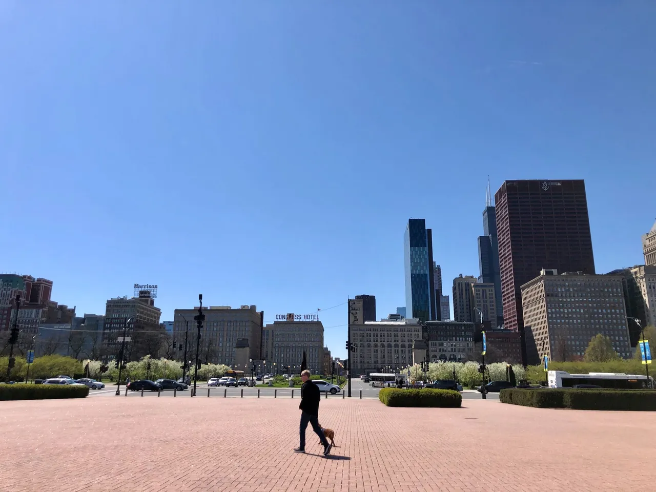
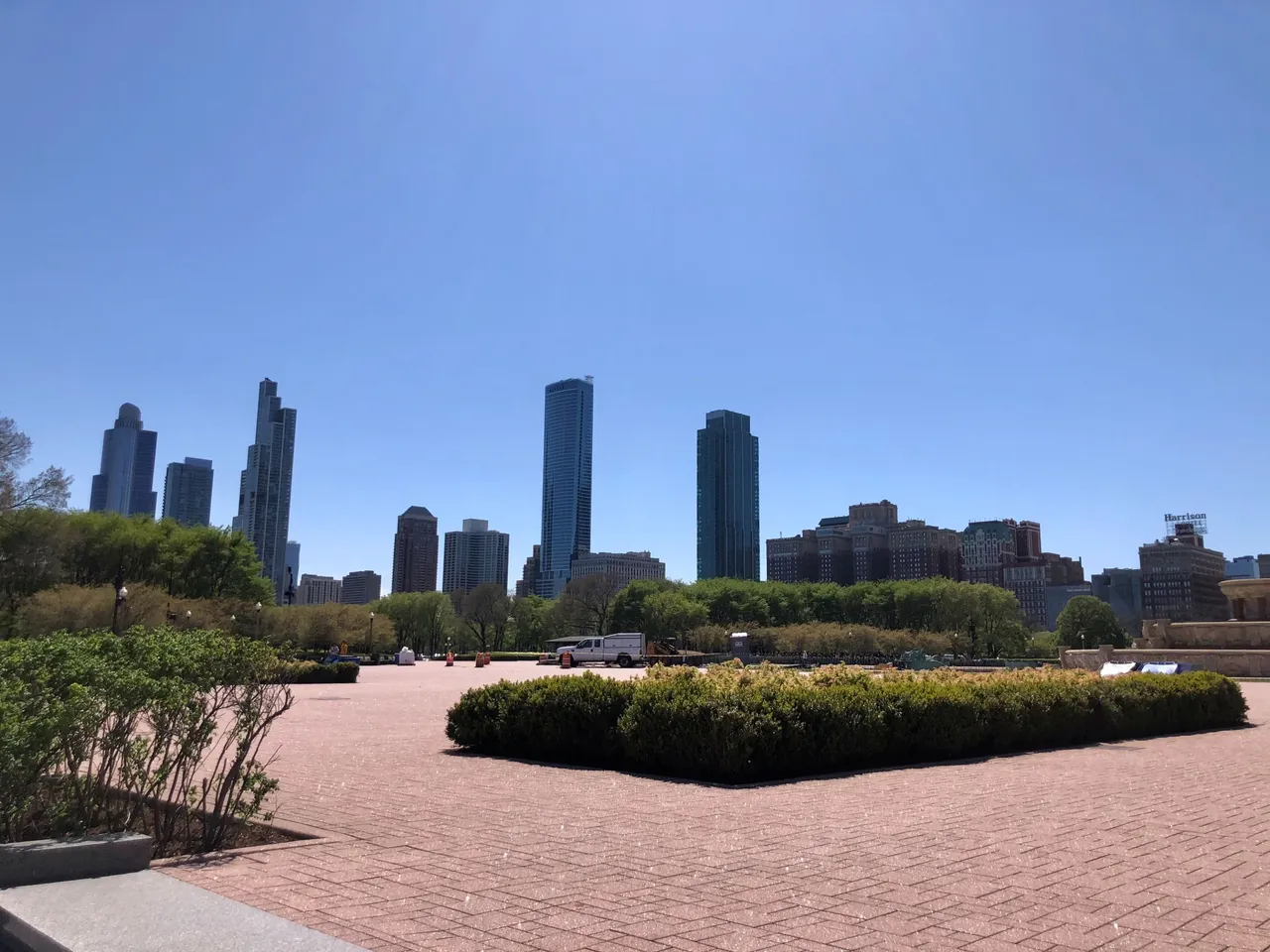
We continue walking in the direction of Lake Michigan. And we crossed DuSable Lake Shore Dr. to the shore of the lake.
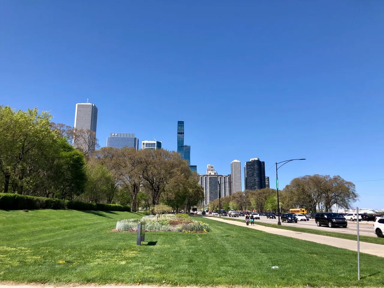
Lake Michigan is the only Great Lake located fully in the United States; the other four are shared between the U.S. and Canada. It is the world's largest lake, by area, located fully in one country,[10] and is shared, from west to east, by the U.S. states of Wisconsin, Illinois, Indiana, and Michigan. More info
From there, following the coastline, you could see the Adler Planetarium and the Shedd Aquarium to the right and the Navy Pier to the left.
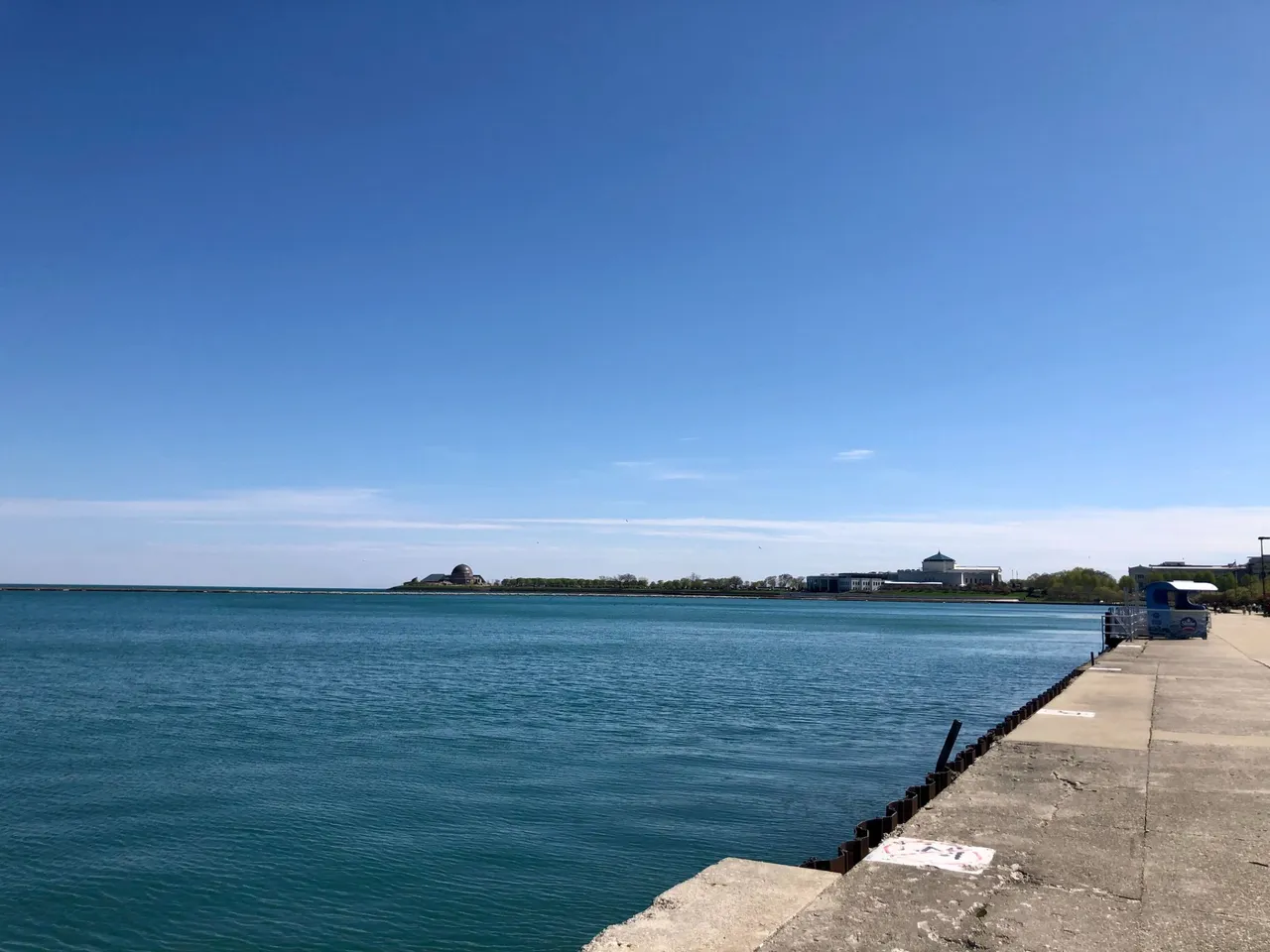
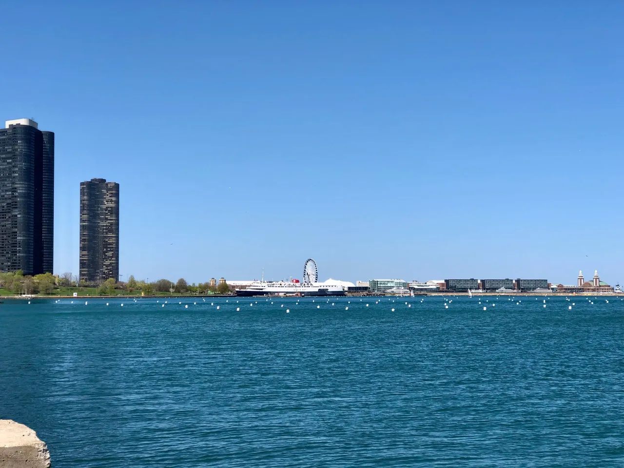
And the most immediate view to the north of some of the city's skyscrapers.
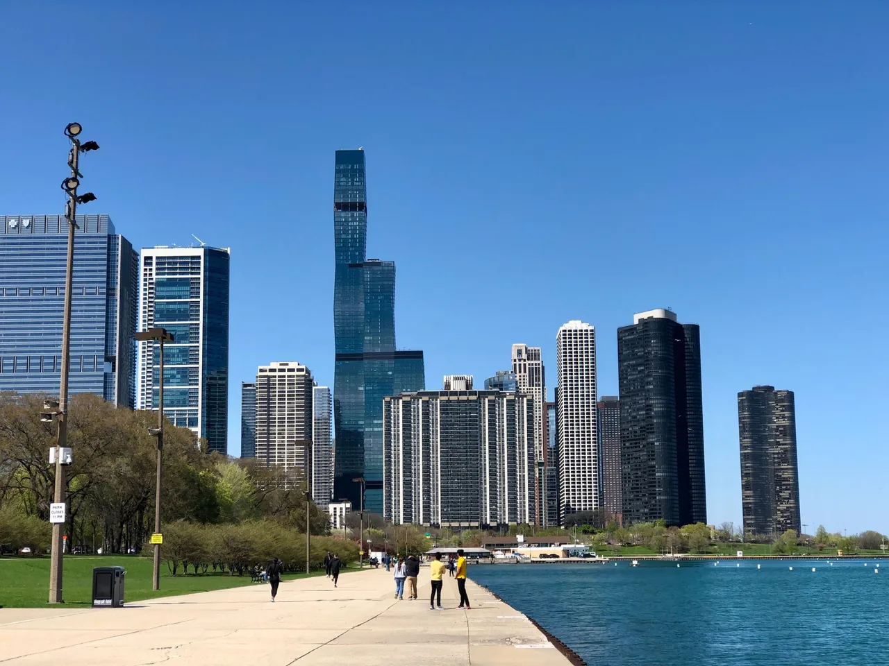
My son tried to make a panorama pic but the result was quite strange as far as the edge of the lake is concerned, hehe. Nothing like the real thing 😆.

When we saw the time, we realized it was time to go back as we had to go to the north of the city, that day we were meeting my husband for the screening of his movie with some friends of my son and the movie theater was in the Lincoln Park area. But that's a story for another day.
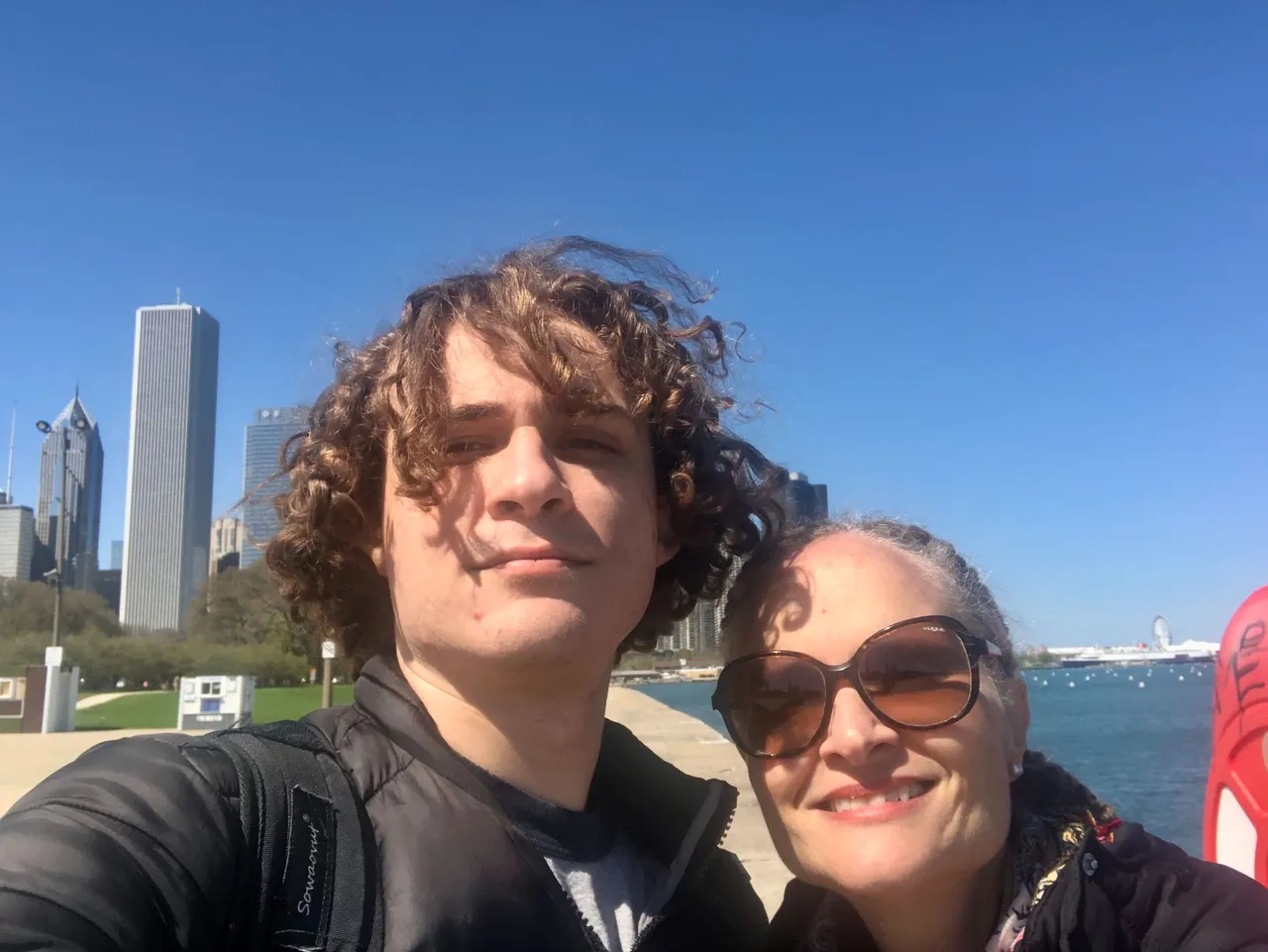
This is my post for this week's #wednesdaywalk challenge hosted by @tattoodjay
Thank you for reading.
If you're reading this and you are not on Hive yet, I invite you to join through my referral link. I could delegate some resource credit to help you get started.