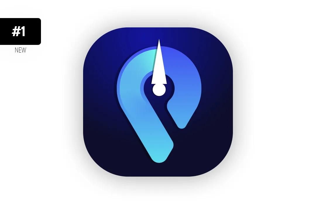
What is GPSTest?
GPSTest is an application that displays real-time location information from satellites. The application also helps you to understand if GPS service is running. It has features such as location sharing. It has been developed in open source.
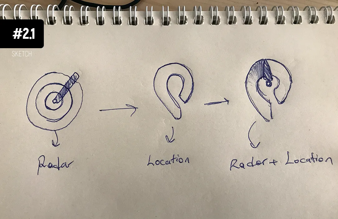
I made some drawings on a paper to see how to combine “Location” and “Radar” icons. I chose one of these drawings and photographed it. Then I made drawing on this photo digitized in Adobe Illustrator.
Sketch

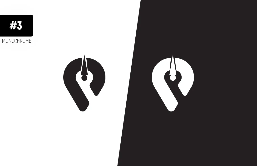
Monochrome Logo
I decided to use blue and black tones in the design.

I painted the icon with blue and black tones and studied it.
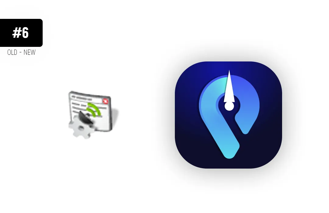
The icon that is currently used and the icon I designed are sides by side.
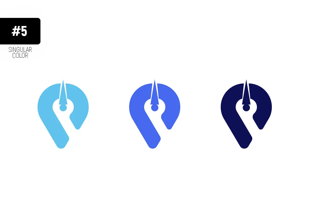
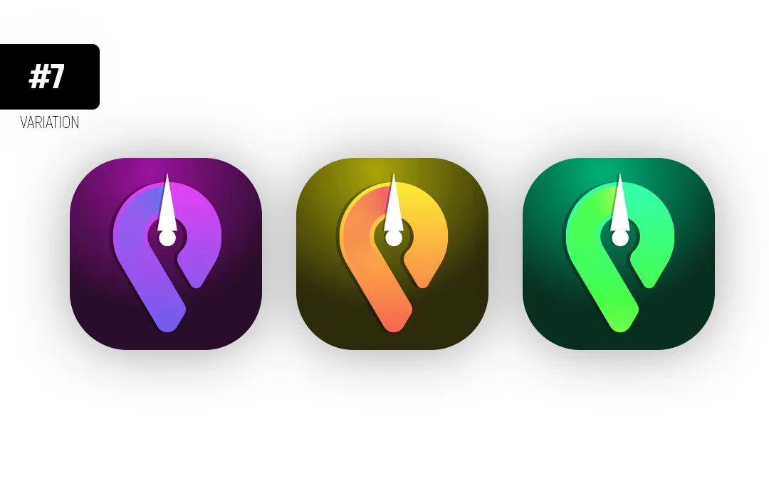
I tried different color versions of the icon.
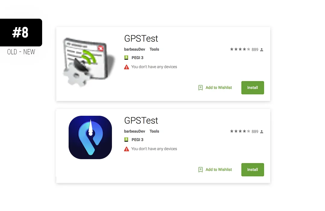
Below, you can see the old and new version of the app preview located on Google Play.
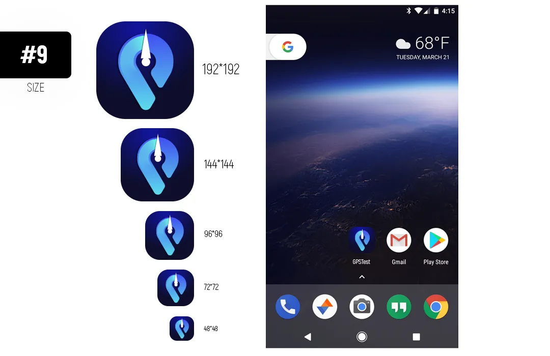
Application icons in different sizes.
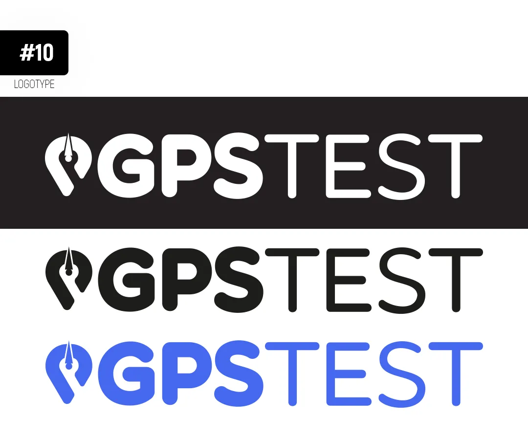
Logotype
512*512 Png Icon

Artwork
Thank you for viewing the design.
Benefits / Improvements
- Location and Radar icons were combined.
- It has become a modern and new view.
- The Logotype was created.
Tools
Adobe Illustrator CC 2018
Adobe Photoshop CC 2018
Original files Original and Editable Files Download (.ai, .pdf, .svg, 512.png, 192.png, 144.png, 96.png, 72.png, 48.png)
Posted on Utopian.io - Rewarding Open Source Contributors