Hello All Steemians, here is my post about my last trip to hike to the top of Mount Batur.
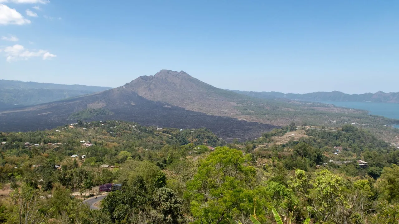
Mount Batur (1717 meter high) is located in Bali. It is very popular with the sun rise walk to the top. People start in the morning around 3 from the bottom and start walking until arrive on the top around six. The journey could take about 2.5 hours but it depends on the starting point.
The main starting point, the furthest, will take you around 2.5 hours. There is also a higher starting point which only take about 1.5 hour to the top. But then again it really depends on hiker's fitness level.
We arrived in the morning at around 3.30. I was with my clients. Because of their phisycal level, I decided that we would climb from a parking area near a temple called Pasar Agung temple. This was a shorter hike, but would still require a lot of efforts to go to the top.
I met the local guide there. He was the one to bring us to the top. A local guide is needed because he is familiar with the track, and to avoid potential danger.
I could not take photos of my clients and post them here, because they said they did not want to show anywhere on internet. And they don't even have facebook, they said.
We began walking to the top. Since we have choose an easier track, we did not see a lot of rocks. Only more sands on the way to the top. Some tracks were proper road especially the road near the Pasar Agung temple. The road was built here because it easier for the local people to go to their temple.
We walked on the sand surface in between trees. There were a lot of turn and felt like we were zigzagging to avoid obstacles in front of us.
 I stopped walking on the slope and looked down. The line of people climbing could be seen like a Z letter.
The walk was descending on the top of 45 degrees slope. Sometimes we needed to hold on to something to balance ourselves.
Mount Batur is 1717meter high. And from this slope, on bright day light, you could see the view of Lake Batur located on the bottom of the volcano. Beyond lake Batur, there was a line of hills.
Some of the tracks on the way to the top was very rocky. There were a lot of little rocks or gravel that if you misstep your feet, you can easily fall. In some area, the track was very narrow, like an a small alley that only one person can fit to walk on the track.
And then there was fog coming. The fog could hide the track slightly that I need to slow down the walk. Well, it was okay, because I was not good at hiking. So, the fog was my excuse.
The temperature was a bit cold. I think it was 15 degrees. For me, I had to wear proper sweater for resisting the cold.
Bad news about toilet. If you want to go to toilet, there is no international toilet in this place. The toilet is just behind the bush. Or there was no toilet on the way to the up to the volcano. So, you need to prepare yourself very well at the starting point. There was several proper toilets in the parking.
Bob, one of the client, was in the bush toilet once, and he came back saying he stepped on a human manure. So bad, I had to pour his shoes with my mineral water to clean it. All his friends walked away and laughed at him. "Only you stay." he said. Lesson learnt, toilets are available on the bush, but beware someone else may have used the toilet before you.
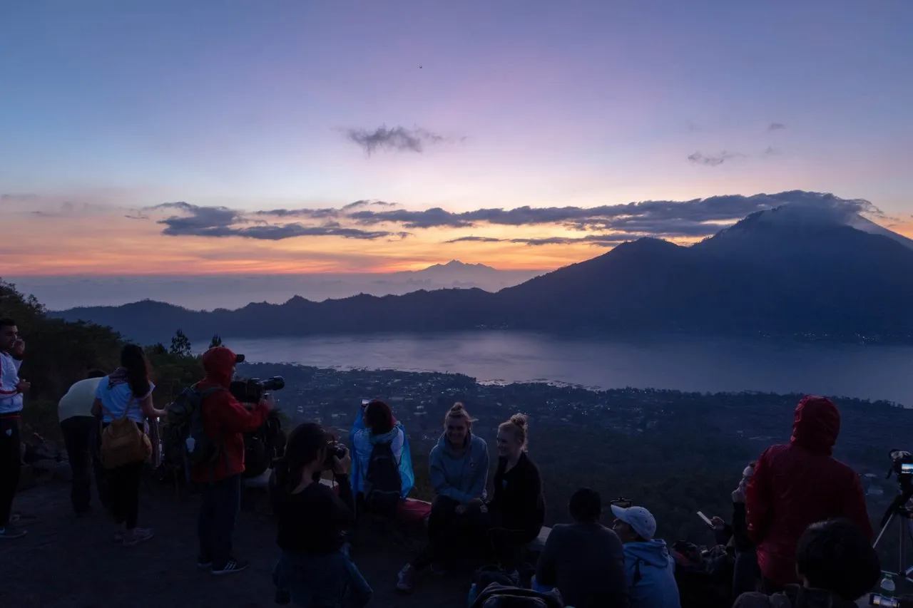
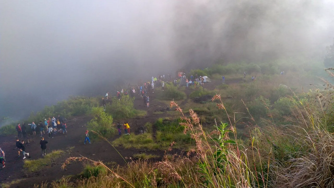
The idea to go to the top in the morning is to see the beautiful sun rise in the morning from the top of the mountain. THere were some spots for viewing on the sun rise. The very top of the mountain, and the 1717 monument were quite popular place.
This monument was to show the height of the volcano which is 1717 meter above sea level. One interesting thing is that it is not located on the top, but slightly below the top. I could understand the reason, because the top was not a wide area for photography. People expect to take photos in front of monument. And it could be dangerous to take photo in a very small area, people may fall.
In one corner we waited for the sun rise. It came out slowly from behind the clouds in the east. It was always nice to see how the sun reveal itself to the world. We tried to take photos of the sun rise.
 People were waiting for the sun rise, this was in a food stall near The 1717 Monument.
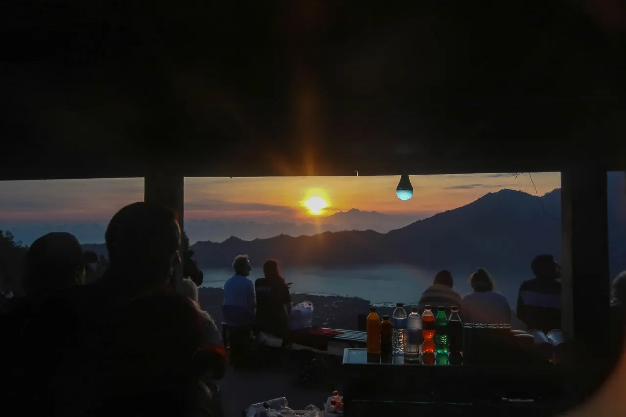 I took this photo from inside the food stall, many local guides inside the stall trying to stay warm.
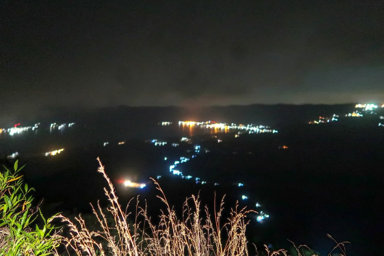
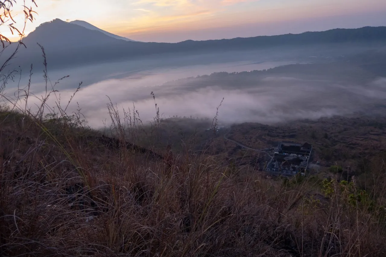 The fog at the bottom could be clearly seen from the slop of Mount Batur.
 People were taking photos at the 1717 monument. This photo was taken with a smartphone. Pardon the quality.
We had some coffee and light breakfast on the top while enjoying the sun rise. Although it was not a perfect sun rise, I feel that I have again achieved something.
After having breakfast, and taking photos on the 1717 monument I went back down. Walking down was much faster than going up because the sun has appeared illuminating our way and it was easier.
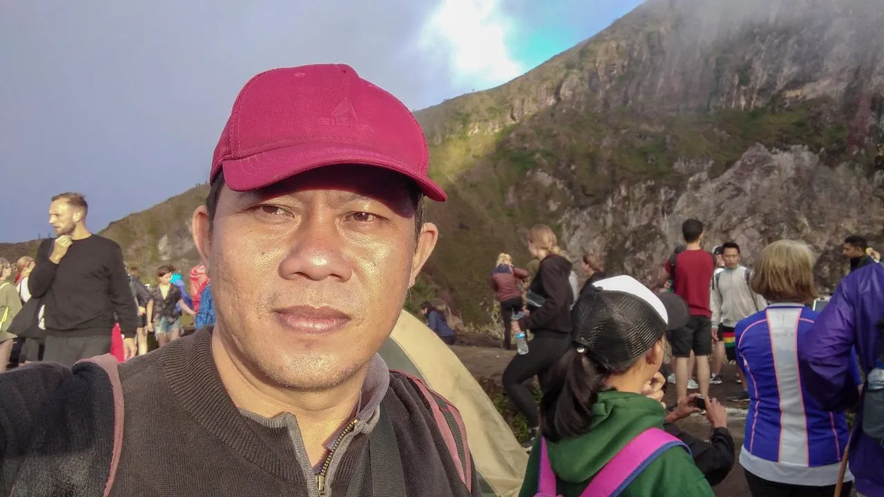 I was not really bother to take photo in front of the monument.. because I was exhausted haa
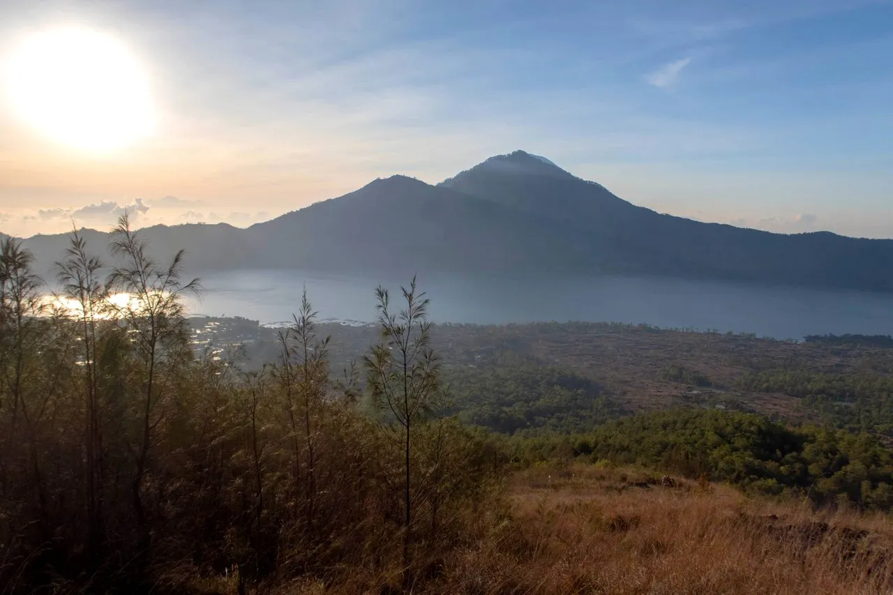 The sun got higher when we walked down the mountain.
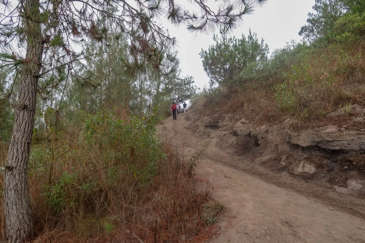 The path to descend the volcano.
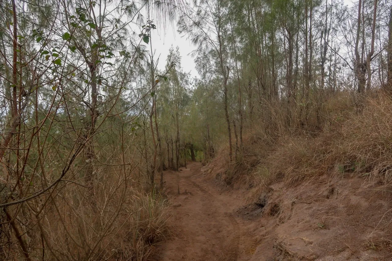 Another view of the path going down back to the starting point.
It took about an hour for me to get to the parking point. Next stop for that day was the hot spring swimming pool at the village near the lake. I would write about the that spring in another post. Thanks for reading. Have a good day to you all.
Photos are taken using Canon G7X Mark II and ASUS M2.