Thursdays are for throwbacks and today's edition is intriguing and lovely for me.
Yesterday, I was pondering on what to publish today than I decided to reflect on some works with pictorial evidence that I have done lately.

Five years ago, in June I got a placement for internship at the National Space Research and Development Agency (NASRDA), Abuja.
It was really a great place for internship which I would recommend to students of GeoSciences, Engineering and Computing sciences.
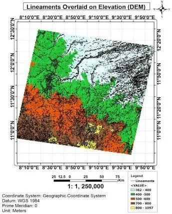
I learnt a great of Geospatial information comprising of satellite image acquisition, GIS analysis, Remote Sensing and Image interpretation.
NASRDA been the foremost and largest Space agency is Africa, meant a great deal of responsibility for staff and IT students.
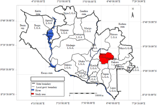
I joined the team who produced the map displayed here.
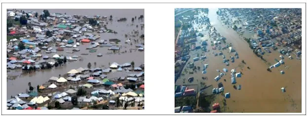
It was a map aimed at proffering mitigative solutions and vulnerability analysis of the disastrous flood that affected 25 states out of Nigeria's 36 states.
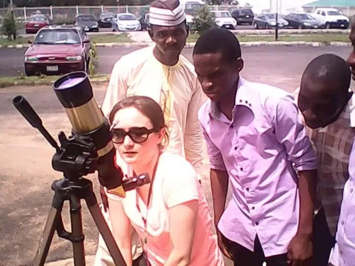
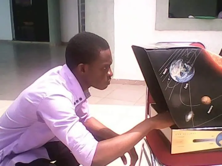
I also met expatriate from University of Toronto, Canada who explained practical components of Astronomy and Cosmology to the interns.
The Trainers from Canada inspired my decision for a Postgraduate studies in Europe or America which I hope it comes true someday.
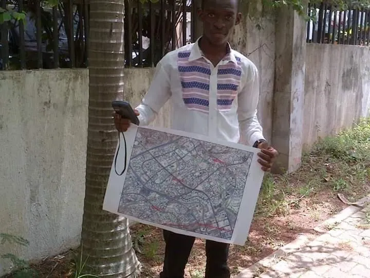
Mapping of Abuja phase I was one task that was challenging and fulfilled where field work exercise was conducted with Phase I of Abuja featuring; Garki I and 2, Wise 1 and 2, Asokoro and Maitama.
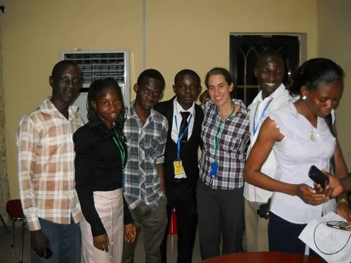
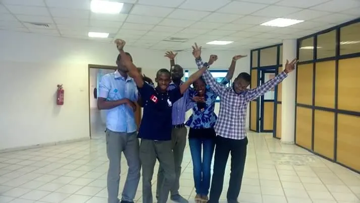
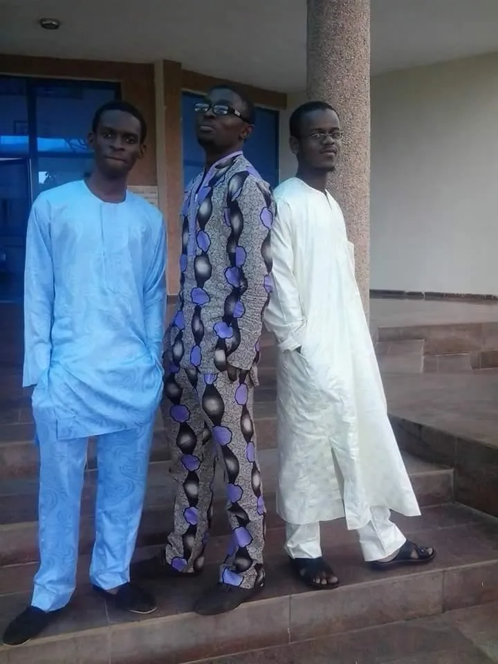
Of course I had to unwind and relax pressures with some photos with friends.
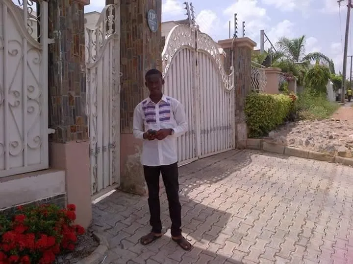
Pictures were taken with my Itel Camera phone as at then while the maps were designed by a team which I was part of