best regards steemit friends. hope you guys are healthy today.
along with the development of an increasingly advanced era, many cutting-edge technology to facilitate human work emerging. did not escape the civil engineering world, many of the technologies found in recent years that are very useful and very helpful to civilian workers in the process of solving their jobs, ranging from field equipment to office support software.
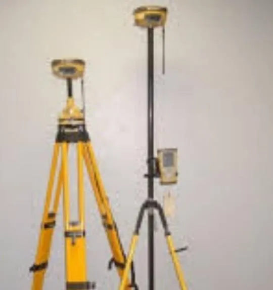
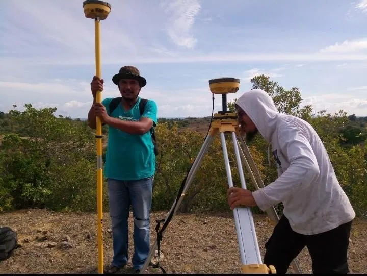
in my work as a surveyor, the emergence of new tools in the field of surveys is also so amazing as hiper gps II. gps hiper II is the most sophisticated measuring tool today even though above there is still GRV, but the same way mareka. ie both receive signals from satellites with two receiver receivers as base and rover.
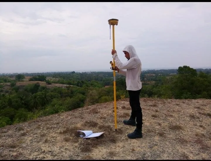
to measure the forest area of gps hiper II more efficient when compared to the total station and theodolite that must first do the clearance of the location in order to target the measurement.
to conduct survey using gps hiper II there are two way of measurement that is static measurement and measurement in RTK (real time kinematic).
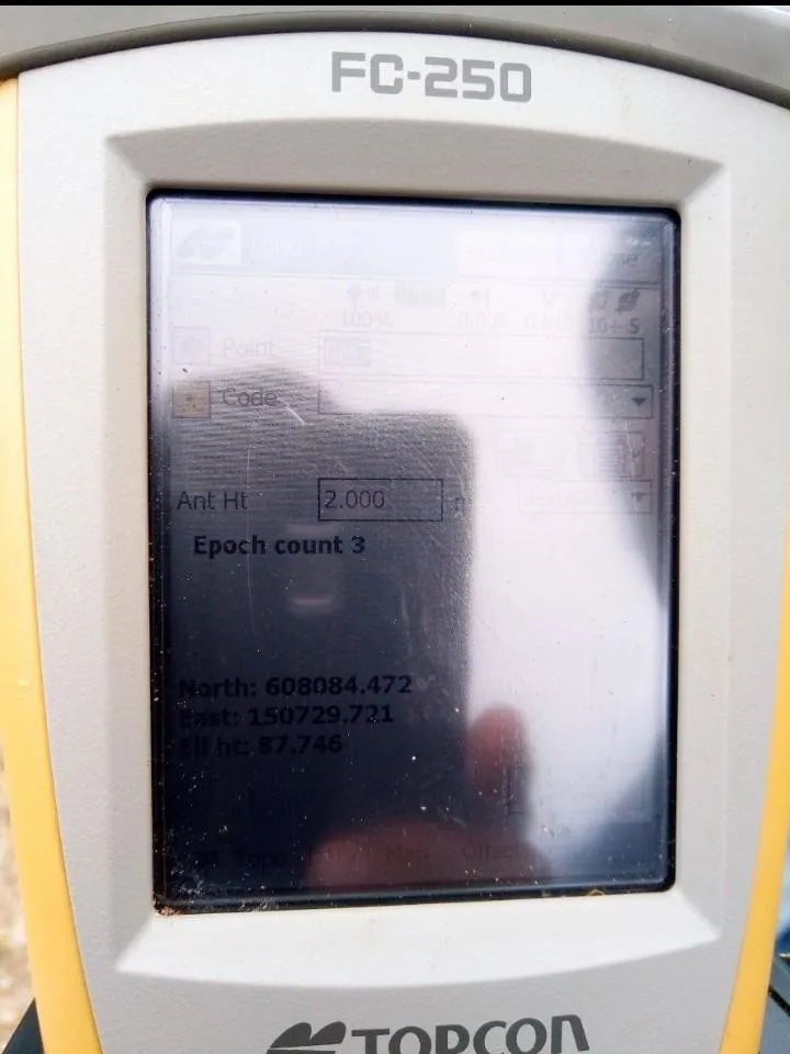
static measurement is a fixed and fixed measurement. these measurements are made usually for accurate removal of coordinates of N, E and Z points. how the measurement of the first receiver is installed in a place where the coordinates are known, whereas other receivers are installed at the point to be sought to know the coordinates. to get an accurate value, the observation should be done for a minimum of two hours. As for the accuracy of static measurements can reach a precision of 2 mm, depending on the duration and condition of the location under review.
The RTK measurement is the Movement Measurement conducted to conduct the survey as which usually is like open new land and construction. the workings of this system are a fixed fixed-line receiver as a base that serves to correct the coordinates received from the satellites, another as a rover that serves to perform measurements with the coordinates taken from the satellites and from the correction receiver base.This measurement has an accuracy between 5 -15 mm.
that's a small part I know about measurements using hyper gps II. may be useful.....

regard @abumuhammad