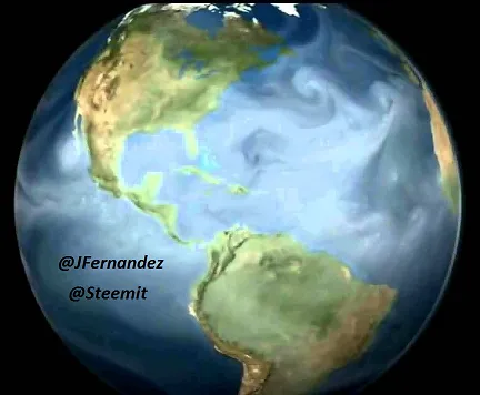
Every human being since he begins to take his first steps in life and in learning receives basic knowledge about the geographical structure of the world and how the continents and oceans are divided. There is no one who has received basic studies that has not drawn the map of the world or does not know how it is subdivided.
But in the midst of this knowledge the relationship between the salinity of both oceans has never been taught and because if one is linked to the other they both contain different physico-chemical analyzes and are considered important paradigms that for years have been the subject of research in the world.

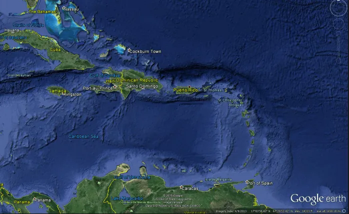
Despite the fact that the sea level is more or less uniform throughout the world, the difference in salinity between the oceans for years has been associated with the different height in the seabed since there is a notable difference in level, about 20 centimeters between the Pacific and Atlantic Oceans (and not several meters, as they say). The Pacific is higher than the Atlantic because the water is less dense than in the latter and due to the prevailing climate and oceanic conditions, as can be seen in the vicinity of Panama, a country where the Atlantic and Pacific shores are distant. just 80 kilometers.
Scientists of the past believed that the bottom of the oceans would be flat, until in 1872 an expedition called "Challenger" decided to make the first trip, armed with lead weights and lots of rope, to map the seabed. In 1874 they made the greatest of their discoveries, the seabed was precipitated almost abruptly and the rope recorded 7Km, that flat concept of the underwater surface was wrong. However, it was not until 1949, with the discovery of the sonar that began to complete the map that the Challenger began, that they discovered the gigantic network of oceanic or abyssal pits that make up the tectonic plates.
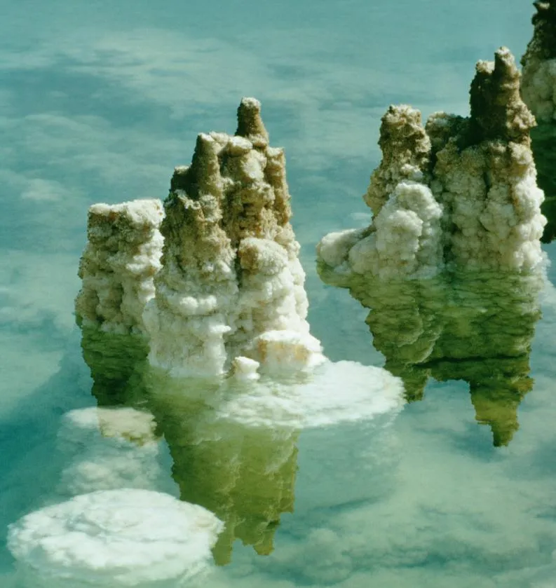
But it has been discovered that the different depths in the sea floor extensions are not associated with the difference between the oceans because the salinity of the water comes from the different minerals dissolved there and in particular from the dissolution of natural chemical elements such as sodium, chlorine, sulfur, calcium, magnesium and potassium, among others.
Many researchers in the Department of Atmospheric and Oceanic Sciences from various parts of the world agree that the origin of the saline character of ocean water has ancestral roots that have been transmitted for millions of years through marine genes due to gaseous emissions, rains and water currents from other places from the earth, so these factors have had a lot to do with salt ionization of water.
Both oceans are composed of different structural features, in addition to mineral salts and various biological materials resulting from the waste and decomposition of the abundant marine life. The salts of the oceans generally come from long gradual processes such as the breakdown of igneous rocks in the earth's crust as it cools, erosion, the erosion of the mountains, the dissolving action of the rains and the currents that transport water loaded with minerals and other compounds being these factors different in both ocean generating different results in their waters.
When the cold, salty waters of the surface of the North Atlantic sink and begin their long journey to Antarctica, they activate a complex pattern of ocean currents, one of whose effects is the transport to the coasts of Europe of a sufficiently large mass of hot water to mitigate significantly the decrease in temperatures in much of the continent. The North Pacific does not have that same mechanism, because its salinity is much lower, and scientists for years have long speculated about the causes of this fact.
One of the main external reasons in which the salinity of both oceans is different is that the rocky mountains of North America and the Andes of South America block the transport of water vapor from the Pacific Ocean to the Atlantic. Most of the water that evaporates in the Pacific is stopped by these mountains and falls as rain or snow, finally returning to the Pacific Ocean and keeping it sweeter. Without the presence of these mountains, much of the precipitation would occur more inland, in areas from which the water would end up flowing through the waterways that flow into the Atlantic, instead of going to the Pacific again, which would tend to maintain a similar composition.
The water vapor of the tropical Atlantic and the Caribbean Sea, on the other hand, crosses Central America dragged by the trade winds, and rushes into the Pacific, also contributing to the difference in salinity. The amount of fresh water that this mechanism creates is significant, approximately 200,000 cubic meters per second approximately. The mountains of East Africa also contribute to maintaining the situation.
However, the massive Antarctic ice sheet also plays an important role. It helps to intensify the winds and displaces the Antarctic Circumpolar Current. Without this layer of ice, the thermal contrast between the earth and the atmosphere in lower latitudes would decrease, with the consequent decrease in the winds that maintain the waters with different temperatures and exert an inference in the present salinity.