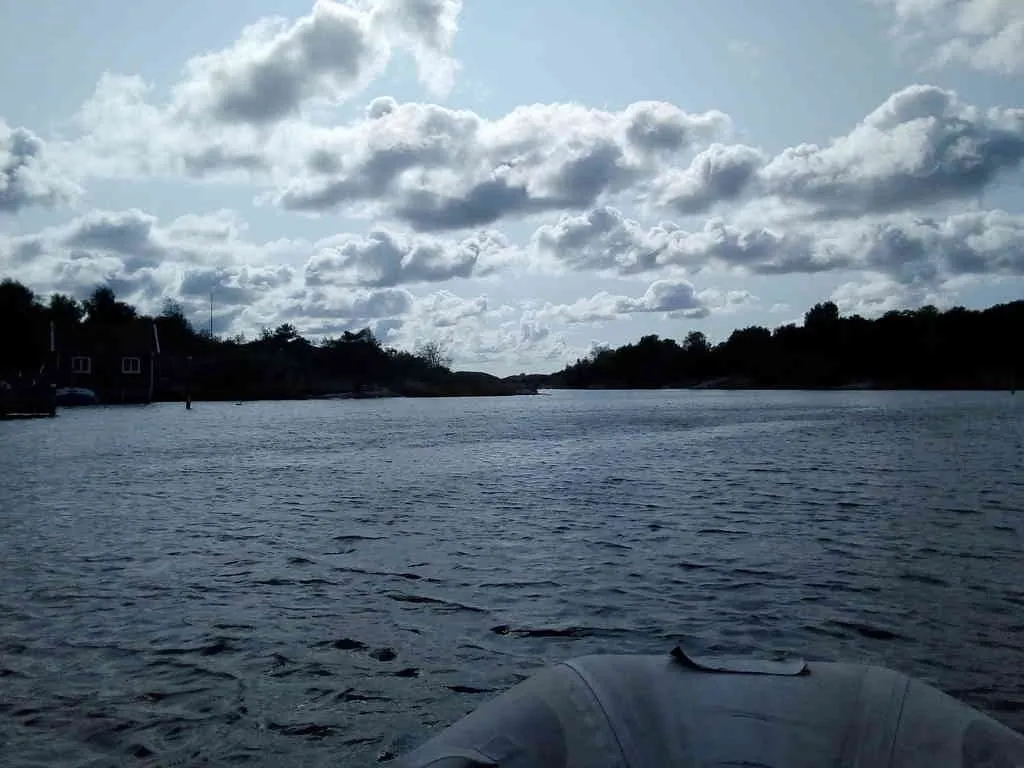
This is a small channel south of Göteborg. There is no distance to be saved by taking this channel - it's totally a detour - but when going with the dhingy, it's very nice to get a break from all the waves on the outside. The "outside" here is actually sheltered water, but it can still be quite rough when going in such a small dhingy. I did this channel a handful of times since I decided to anchor up on the south side of this channel. I believe this channel is actually deep enough for my sail boat, though there is no point even trying - those "horrible" waves on the outside are insignificant when sailing with the bigger boat. I thought the channel was really charming first time I went through - but when going several times through, I eventually found it boring.
Actually the channel has a Swedish wikipedia entry. The purpose of the channel was not to allow boats to pass, but to get better water circulation in the harbour in the beginning of the channel.
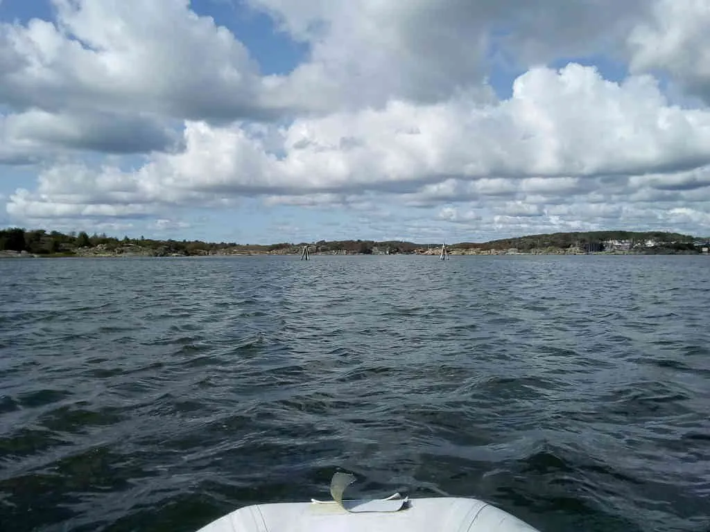
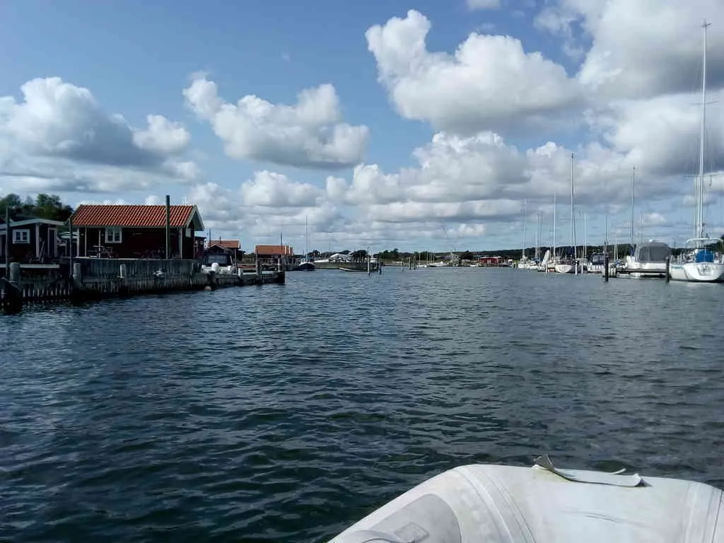
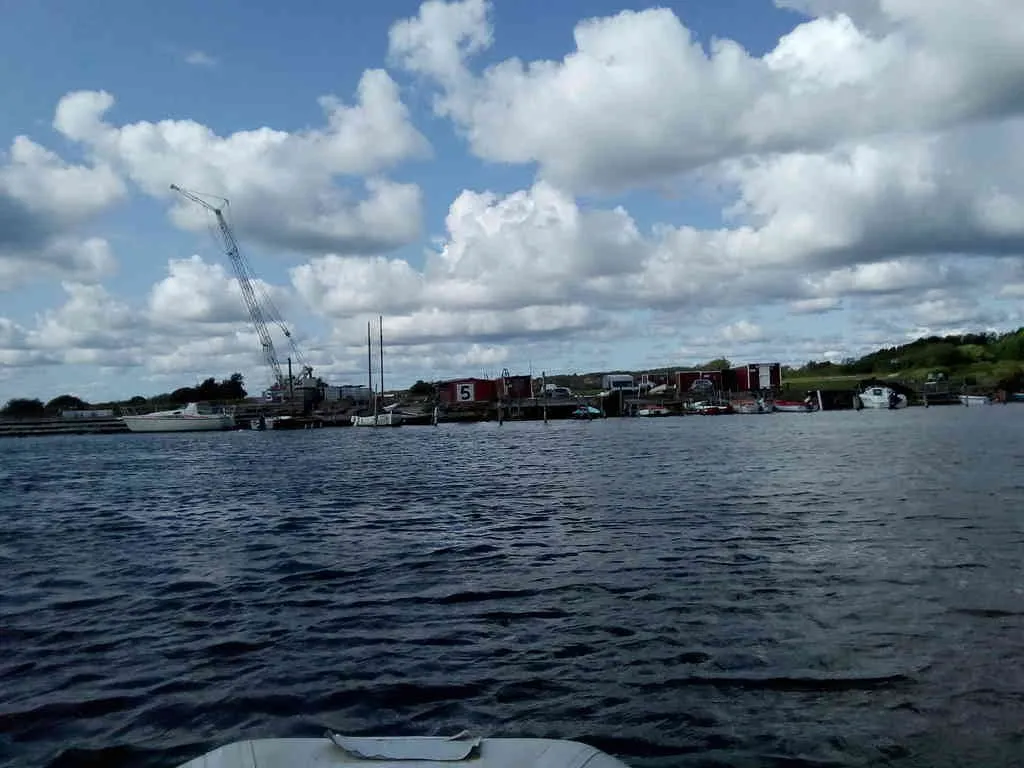
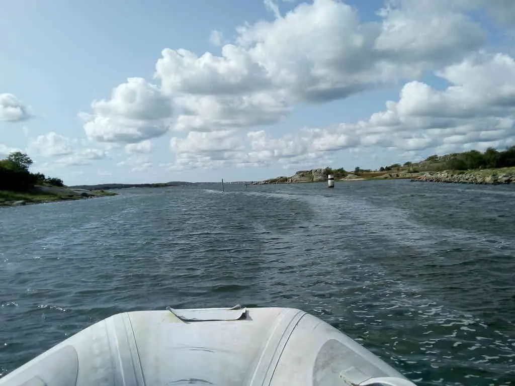
This is the beginning of the channel. I believe I can probably go anywhere with this small dhingy, but if having a draft one should go straight, it's a narrow channel leading towards those markers.
- position: geo:57.629604,11.872236 (geohack) - 2018-08-26 15:21:50 localtime - full quality
- position: geo:57.630626,11.871061 (geohack) - 2018-08-26 15:24:04 localtime - full quality
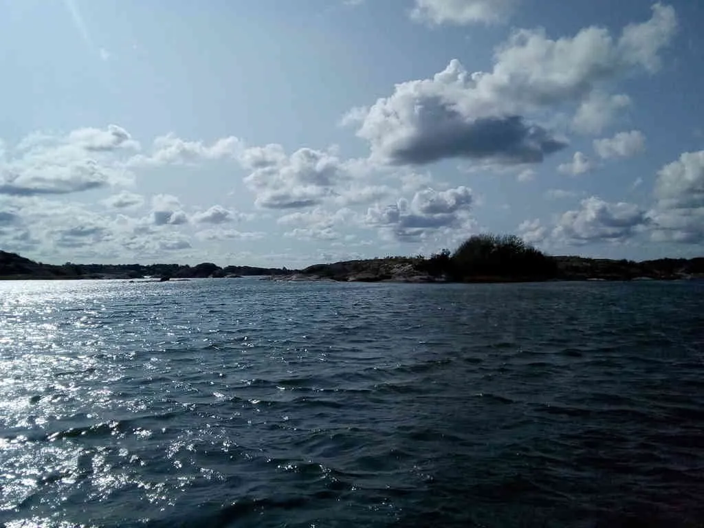
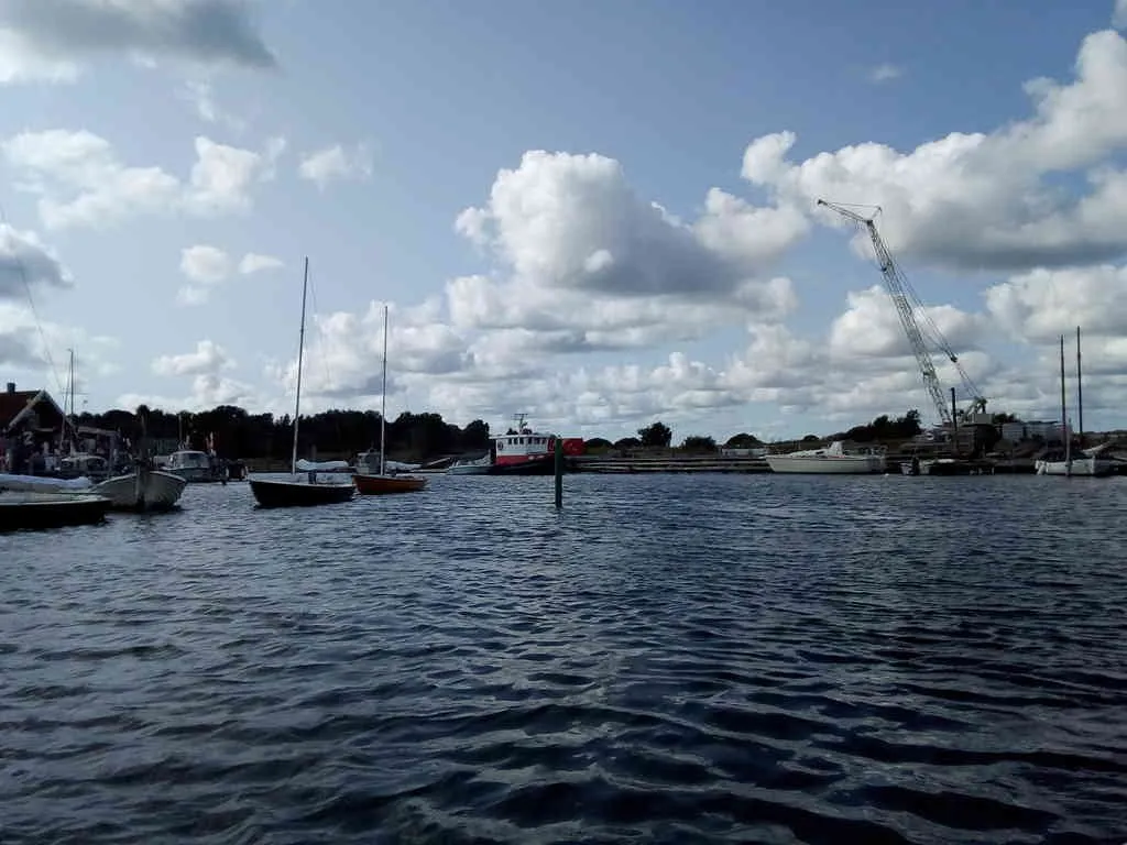
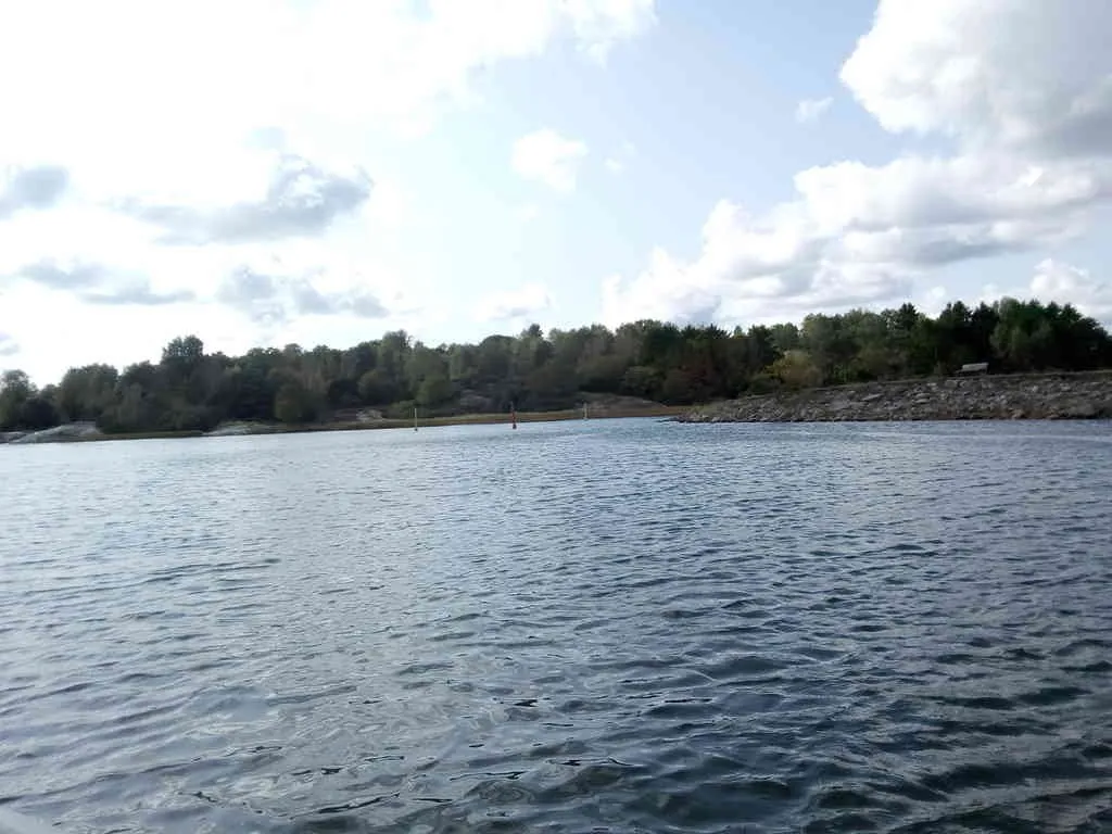
I did not succeed getting it into the photo, but there are some makeshift amateour markings up on the port side between the islands here, probably if following those markings it's deep enough for a small boat to exit the channel between those islands.
- position: geo:57.634338,11.869413 (geohack) - 2018-08-26 15:24:19 localtime - full quality
- position: geo:57.63441,11.869389 (geohack) - 2018-08-26 15:24:21 localtime - full quality
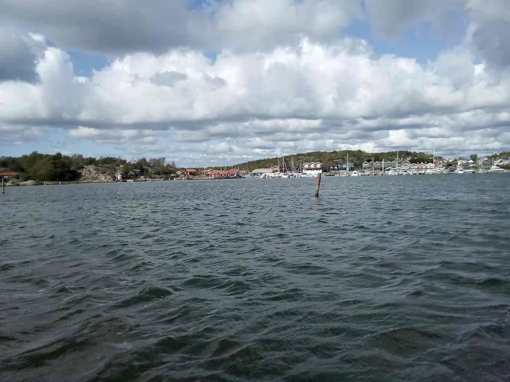
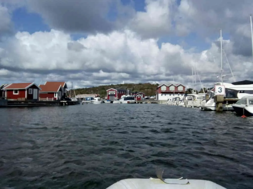
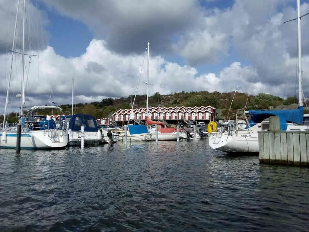
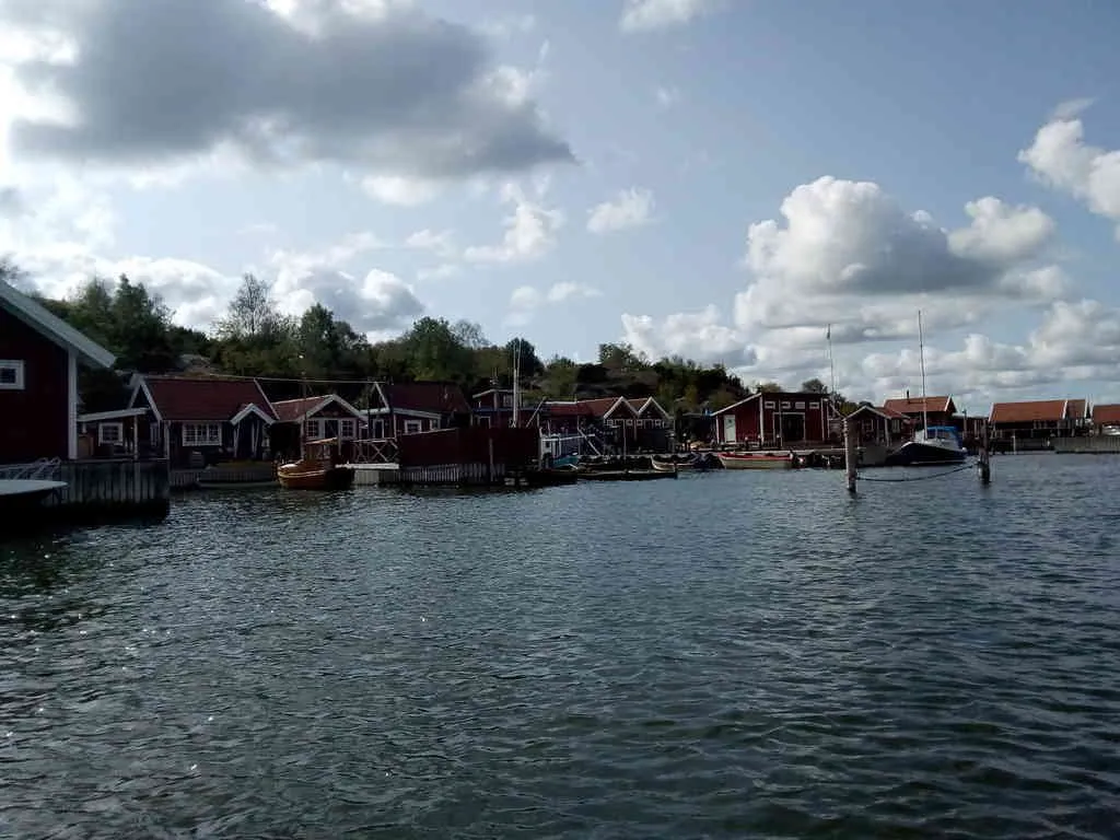
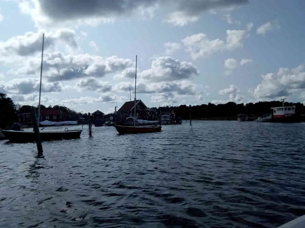
Now we're entering the "urban" zone of the channel. 3 knot speed limit.
- position: geo:57.632129,11.8695 (geohack) - 2018-08-26 15:25:41 localtime - full quality
The starboard side is the mainland and has car roads. The port side are small islands, with no connection except by boat.
- position: geo:57.636722,11.869693 (geohack) - 2018-08-26 15:26:11 localtime - full quality
It's possible to bunker diesel at the starboard side.
- position: geo:57.637168,11.869506 (geohack) - 2018-08-26 15:26:39 localtime - full quality
- position: geo:57.63729,11.869475 (geohack) - 2018-08-26 15:26:45 localtime - full quality
- position: geo:57.637786,11.869176 (geohack) - 2018-08-26 15:27:13 localtime - full quality
- position: geo:57.637882,11.868996 (geohack) - 2018-08-26 15:27:23 localtime - full quality
- position: geo:57.637966,11.868967 (geohack) - 2018-08-26 15:27:27 localtime - full quality
- position: geo:57.638023,11.868918 (geohack) - 2018-08-26 15:27:30 localtime - full quality
- position: geo:57.638076,11.86888 (geohack) - 2018-08-26 15:27:32 localtime - full quality
- position: geo:57.638114,11.868823 (geohack) - 2018-08-26 15:27:35 localtime - full quality
- position: geo:57.638378,11.868485 (geohack) - 2018-08-26 15:27:51 localtime - full quality
- position: geo:57.642257,11.865005 (geohack) - 2018-08-26 15:28:31 localtime - full quality
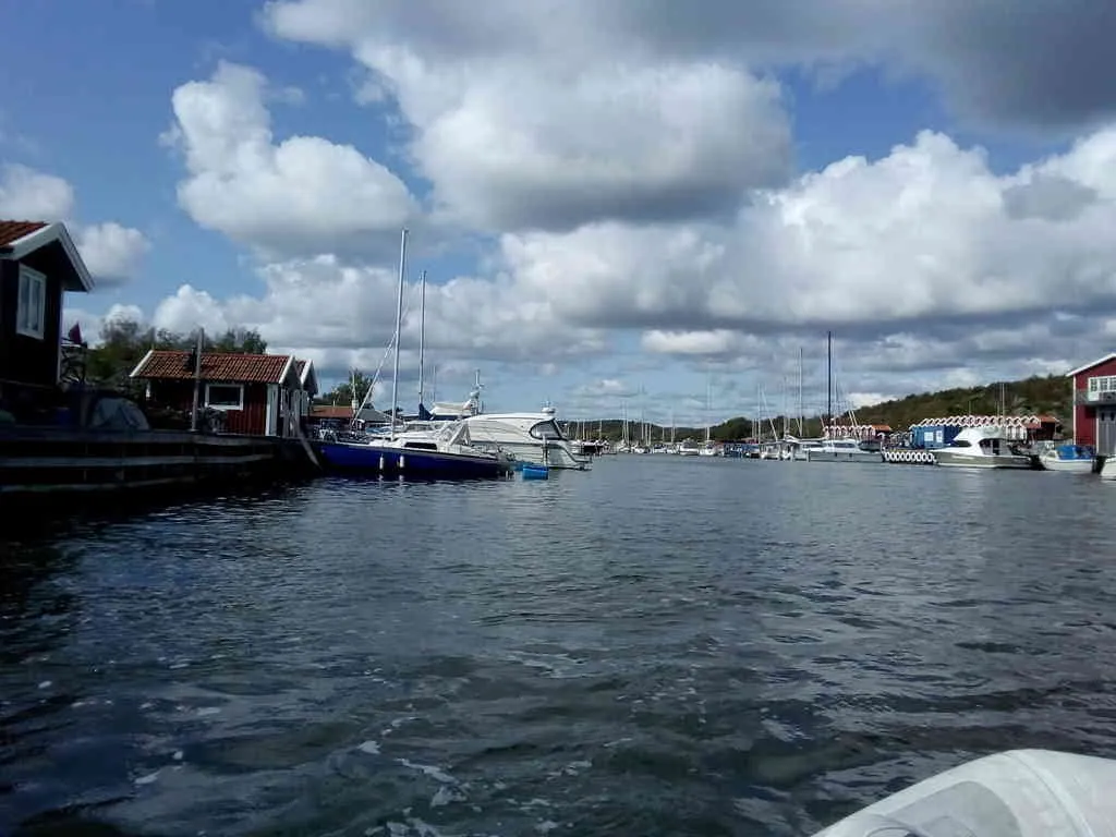
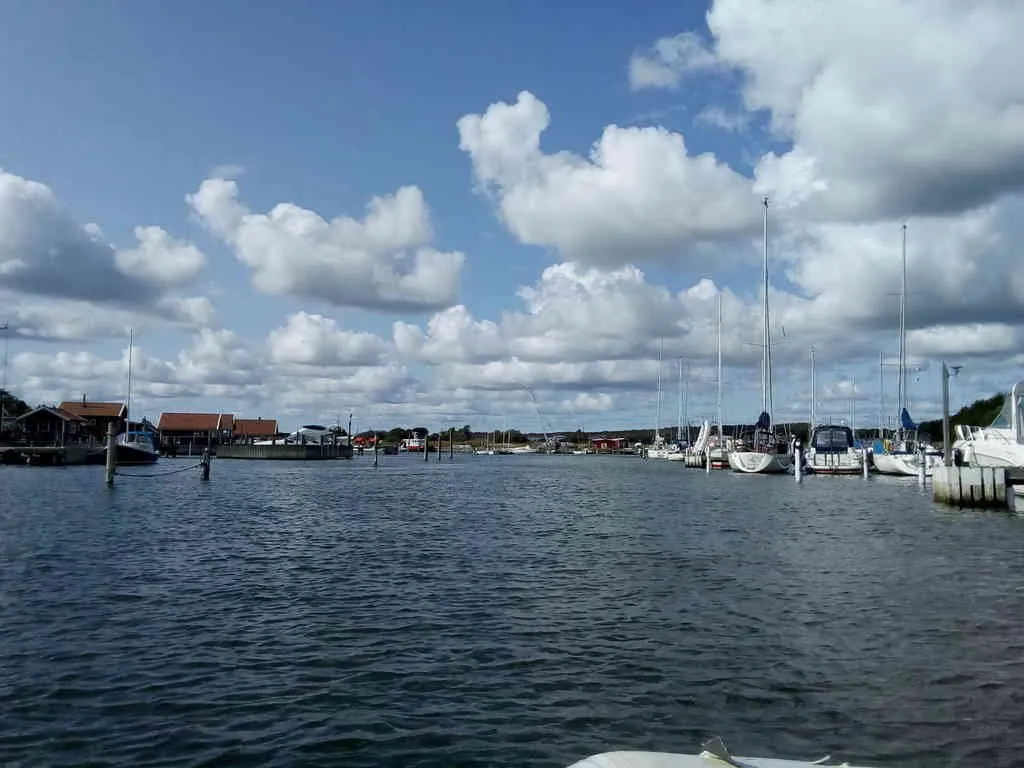
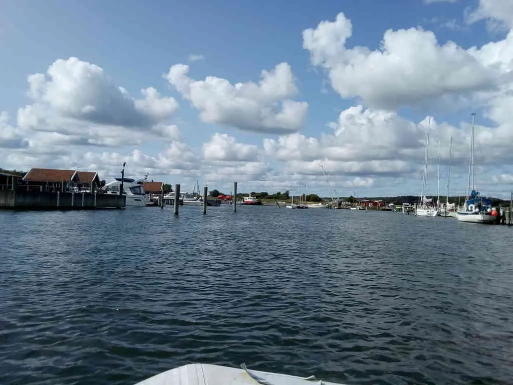
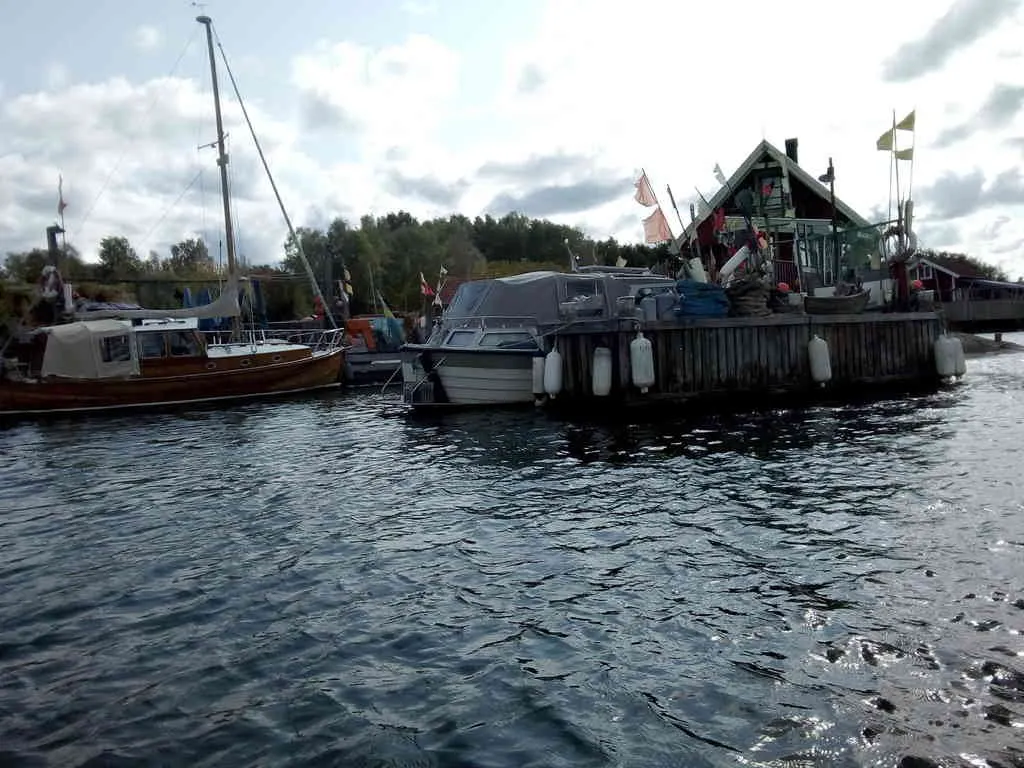
This is the end of the most urban part of the channel. Five knots speed limit.
- position: geo:57.639186,11.867712 (geohack) - 2018-08-26 15:28:41 localtime - full quality
- position: geo:57.639251,11.867581 (geohack) - 2018-08-26 15:28:44 localtime - full quality
- position: geo:57.639389,11.86721 (geohack) - 2018-08-26 15:28:53 localtime - full quality
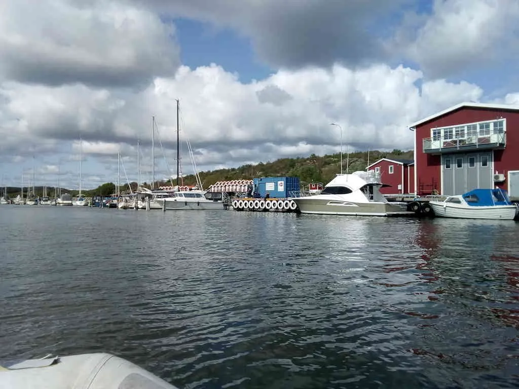
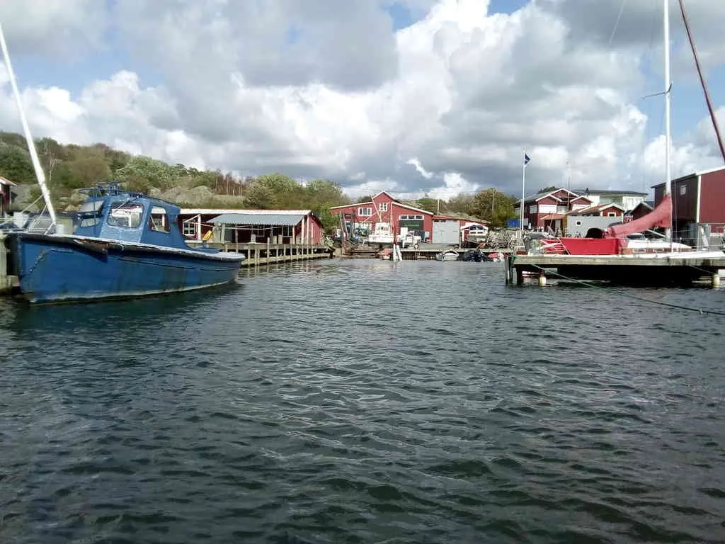
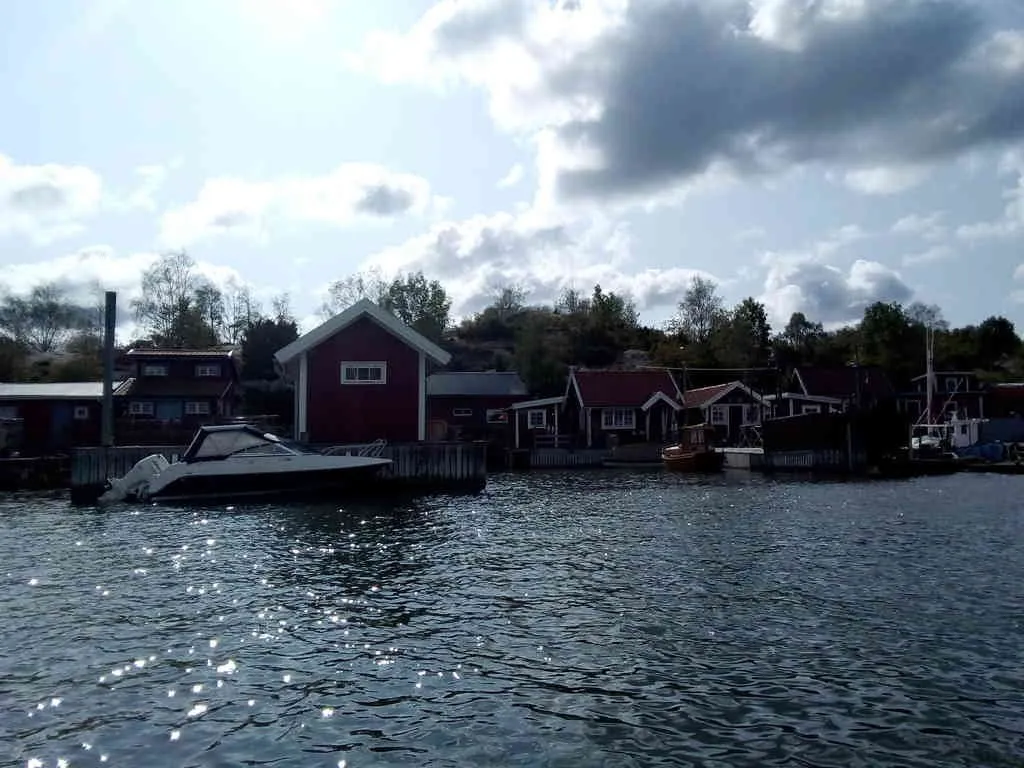
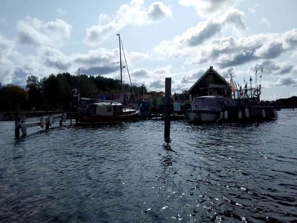
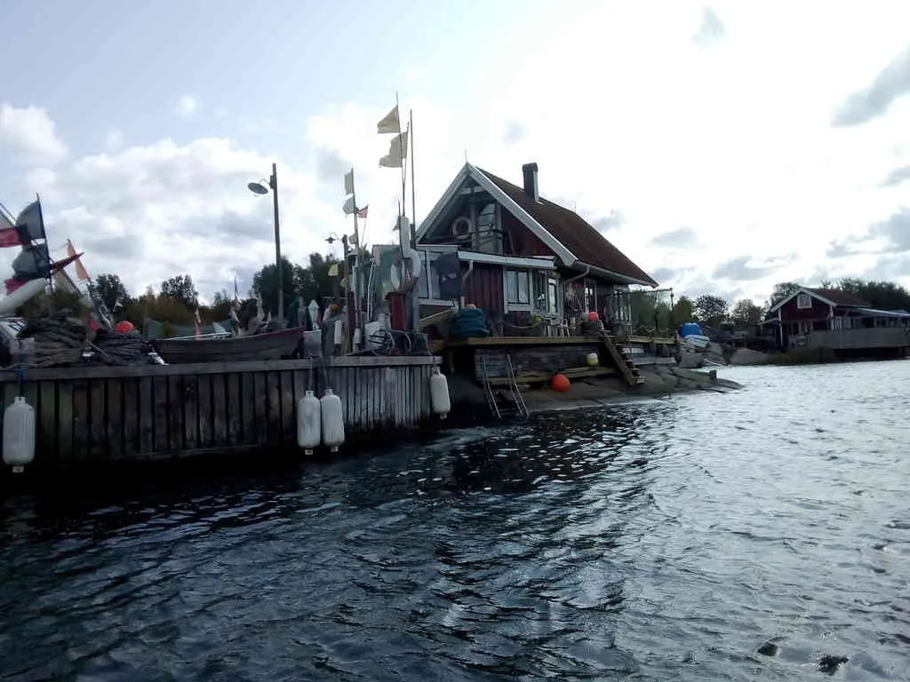
This "mess" is a bit charming, I like this fishermans house.
- position: geo:57.639415,11.866769 (geohack) - 2018-08-26 15:29:15 localtime - full quality
- position: geo:57.639389,11.86655 (geohack) - 2018-08-26 15:29:21 localtime - full quality
- position: geo:57.639358,11.86637 (geohack) - 2018-08-26 15:29:26 localtime - full quality
- position: geo:57.63935,11.866318 (geohack) - 2018-08-26 15:29:28 localtime - full quality
- position: geo:57.639293,11.866022 (geohack) - 2018-08-26 15:29:36 localtime - full quality
- position: geo:57.639064,11.864628 (geohack) - 2018-08-26 15:30:24 localtime - full quality
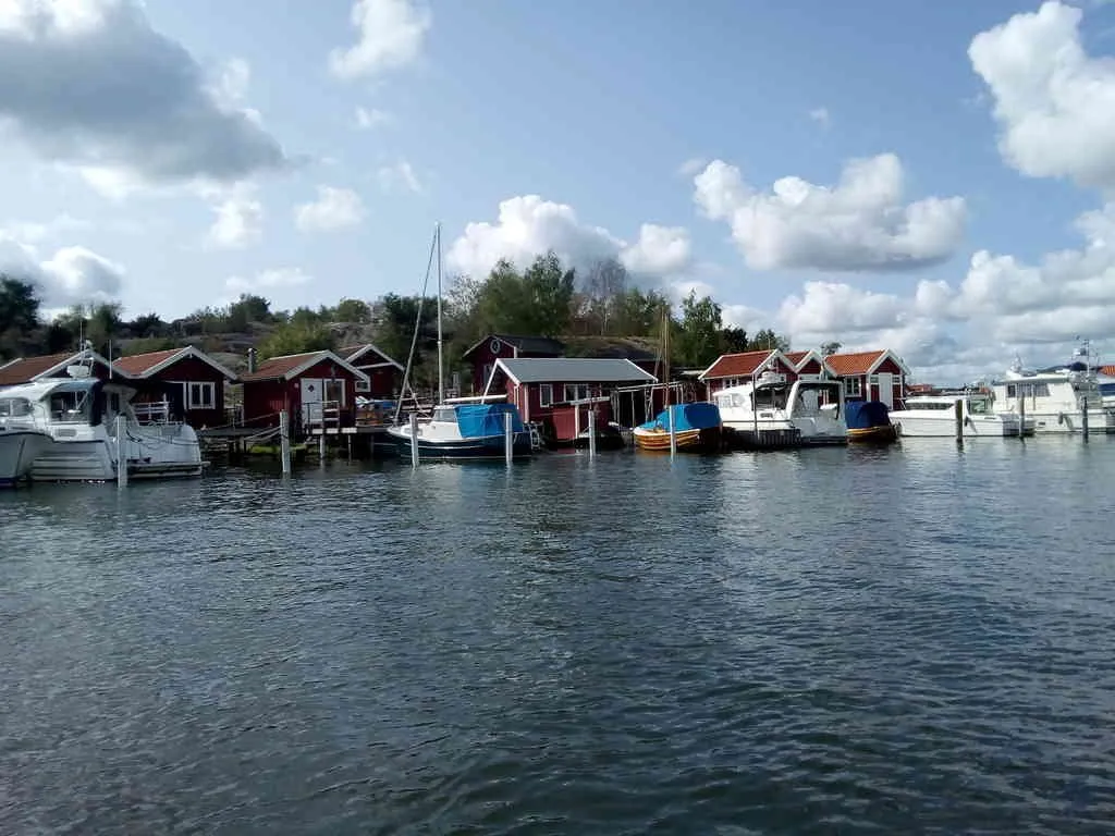
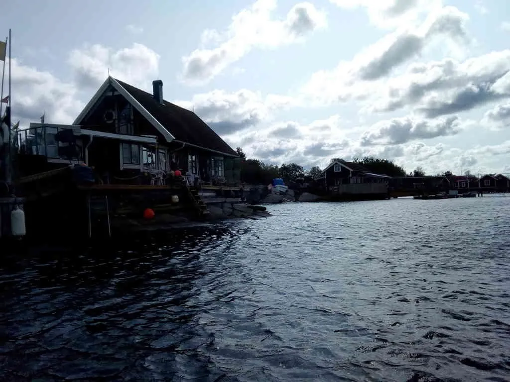
On the starboard side there is a pedestrians road and a bench.
- position: geo:57.638946,11.864433 (geohack) - 2018-08-26 15:30:30 localtime - full quality
- position: geo:57.638935,11.864406 (geohack) - 2018-08-26 15:30:32 localtime - full quality
- position: geo:57.638999,11.863108 (geohack) - 2018-08-26 15:31:24 localtime - full quality
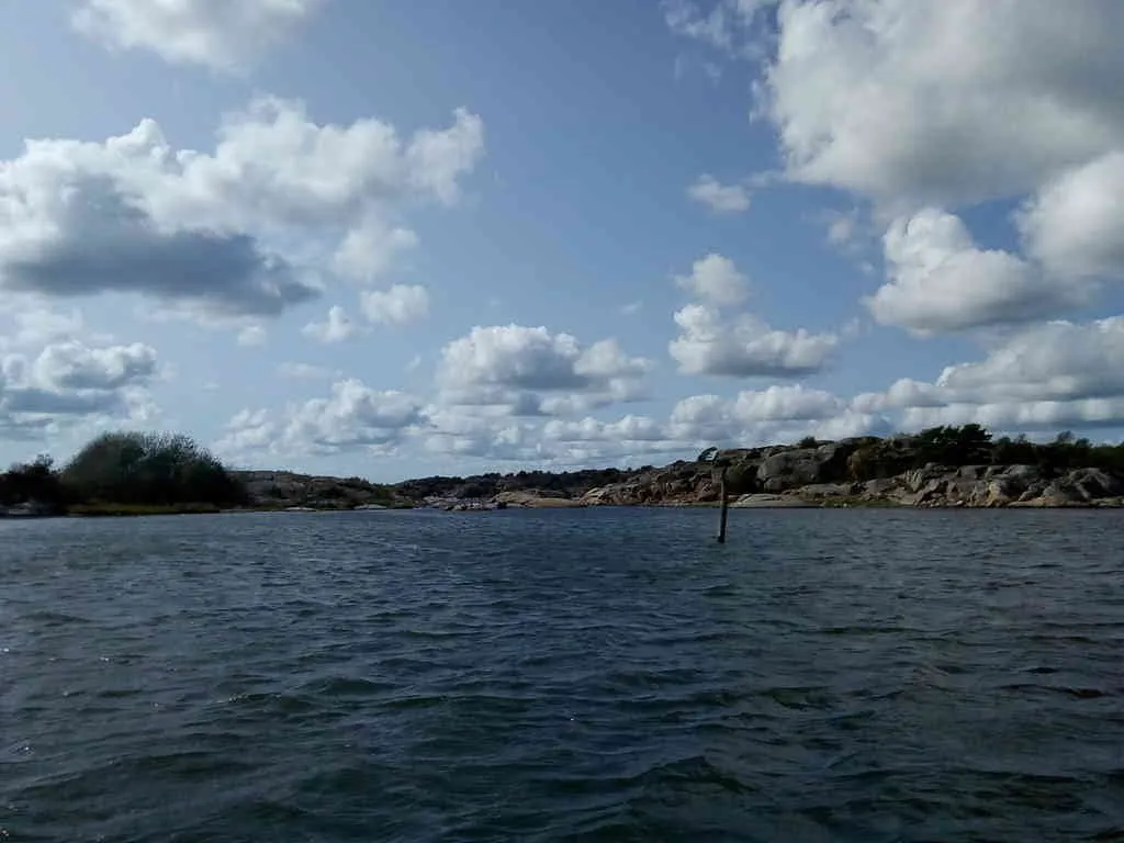
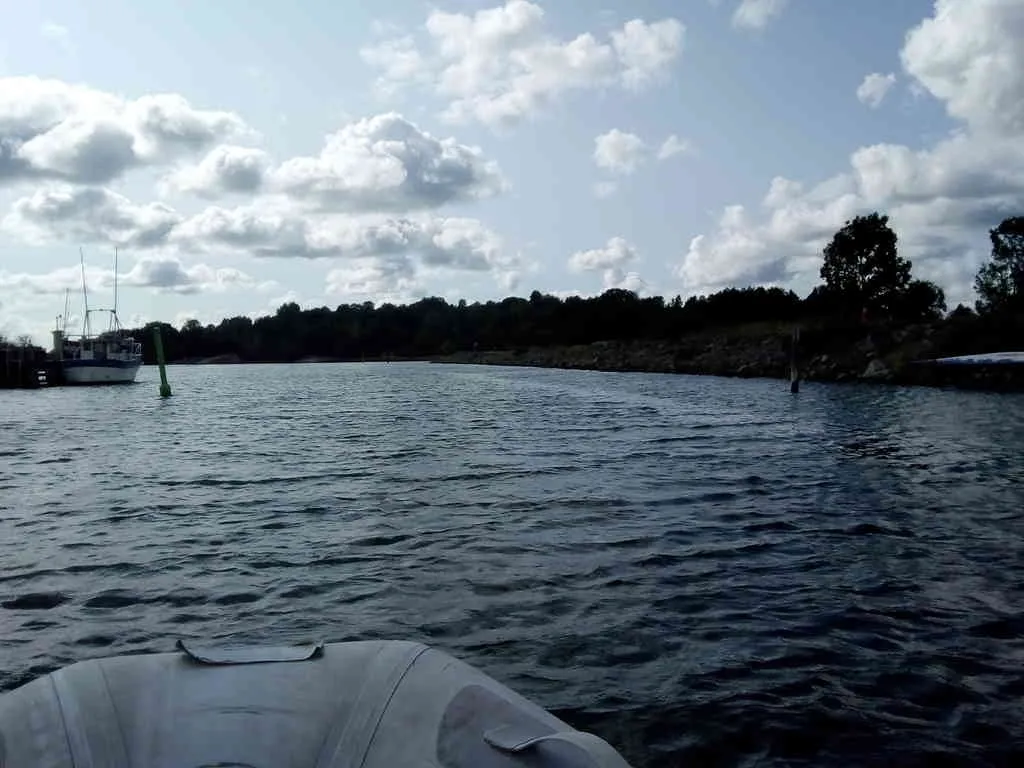
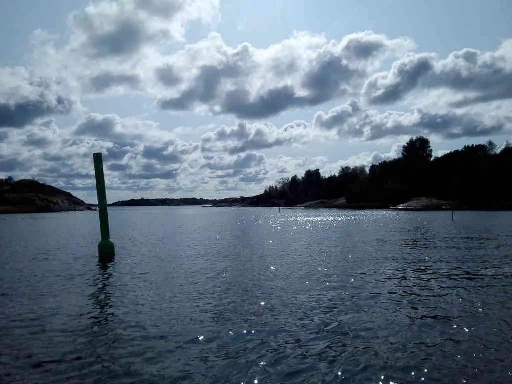
Although not much visible on this photo, there are rocks on both sides of the channel nearby the solid mark
- position: geo:57.646427,11.824824 (geohack) - 2018-08-26 15:33:59 localtime - full quality
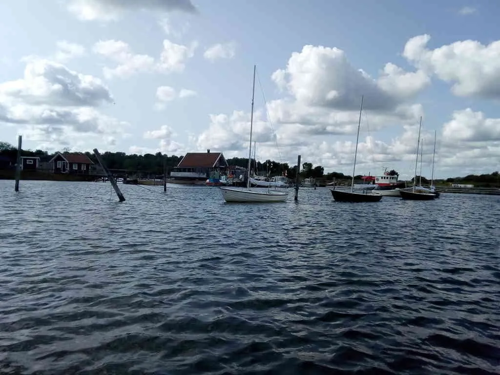
Seems like that was the last photo I took. The sea gets a bit more open, but it's still very shallow outside the marked lane - and it's important to watch the marks as the marked lane is taking a 90 degrees starboard turn. And then there are those pesky waves all the way to Gothenburg, often even quite far up the river.
Selected photos available in original quality on IPFS QmcyFSF2fs4pyDVv72ohtv88A59JXduuEbv1aNUUSzwoCh. All photos taken available in original quality on IPFS Qmca7s1CDSsbMJ3JwJy9K3Apb6aU8UXEyXYExvGNzLU7re. The CC BY-SA 4.0 license applies on both my photos and the article