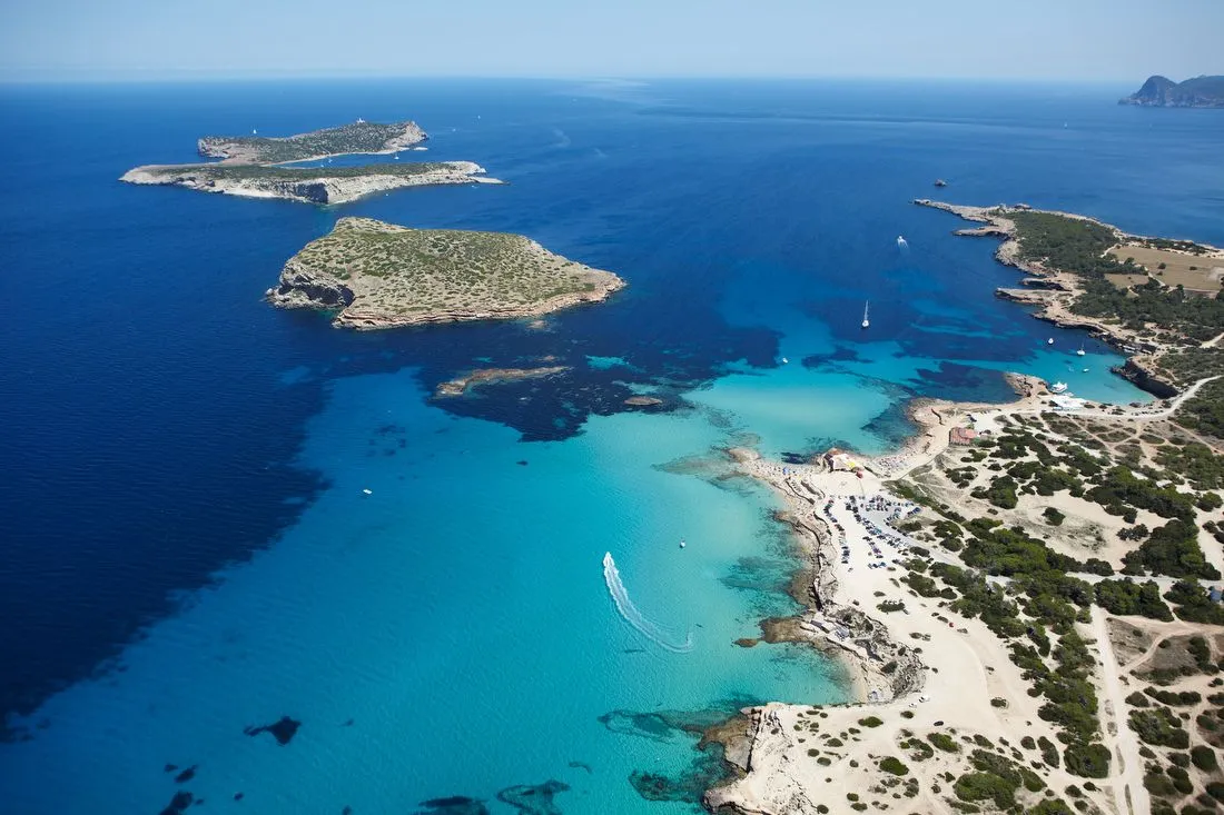
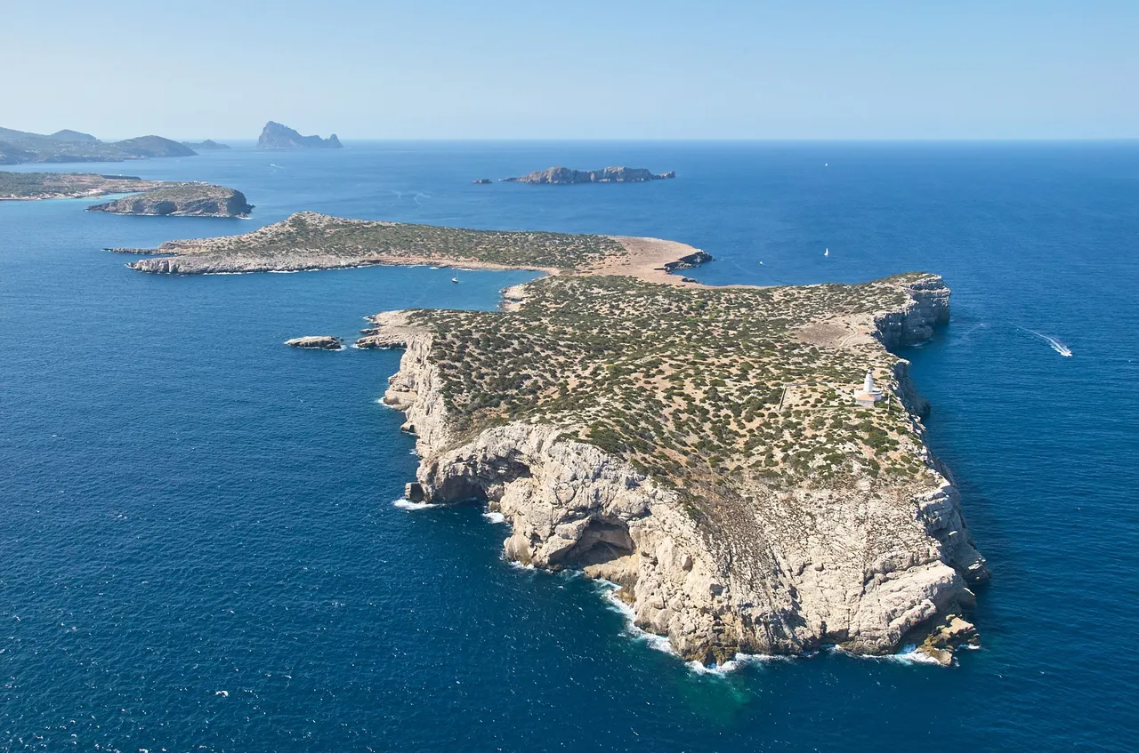
The western islets are the westernmost part of the island of Ibiza. The ones we can see in the first aerial image are s'Illa des Bosc and Sa Conillera, which together with those further south, form the Parque Natural de los Islotes de Poniente (Natural Park of the Western Islets). They have a high level of environmental protection and human presence is limited to visits by park biologists, although on very rare occasions the regional authority organises visits controlled by park rangers and biologists, in which the number of people allowed access is very small. The last time a public visit was organised, only about twenty people were allowed in.
ESP
Los islotes de poniente son la parte más al oeste de la isla de Ibiza. Estos que podemos ver en la imagen aérea, son s'Illa des Bosc y Sa Conillera y que junto a los que se encuentran más al sur, forman el Parque Natural de los Islotes de Poniente. Tienen un alto nivel de protección medioambiental y la presencia humana se reduce a las visitas de los biólogos del parque, aunque en muy contadas ocasiones la autoridad regional organiza visitas controladas por los guardias y biólogos del parque, en las que número de personas que pueden acceder es muy reducido. La última vez que se organizó una visita pública, sólo pudieron acceder unas veintena de personas.
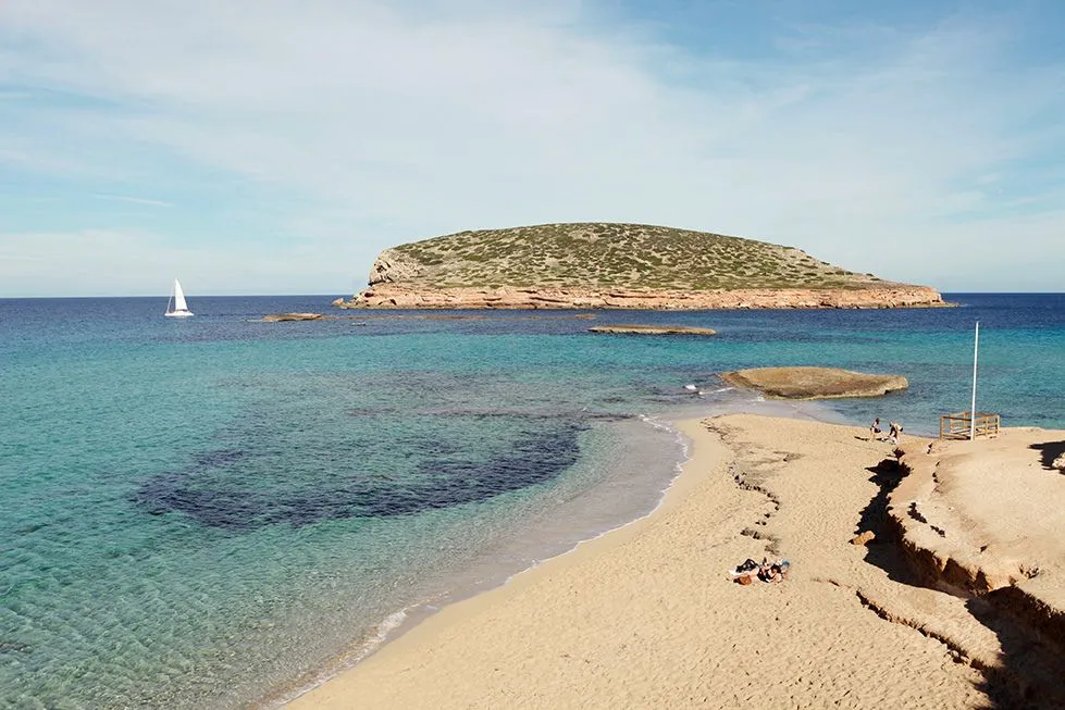
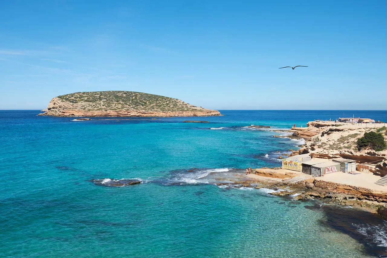
In this images we can see the aforementioned s'Illa des Bosc, this time from land, from the neighbouring beach of Cales del Compte.
ESP
En estas imagenes podemos ver la anteriormente mencionada s'Illa des Bosc, esta vez desde tierra, desde la vecina playa de Cales del Compte.
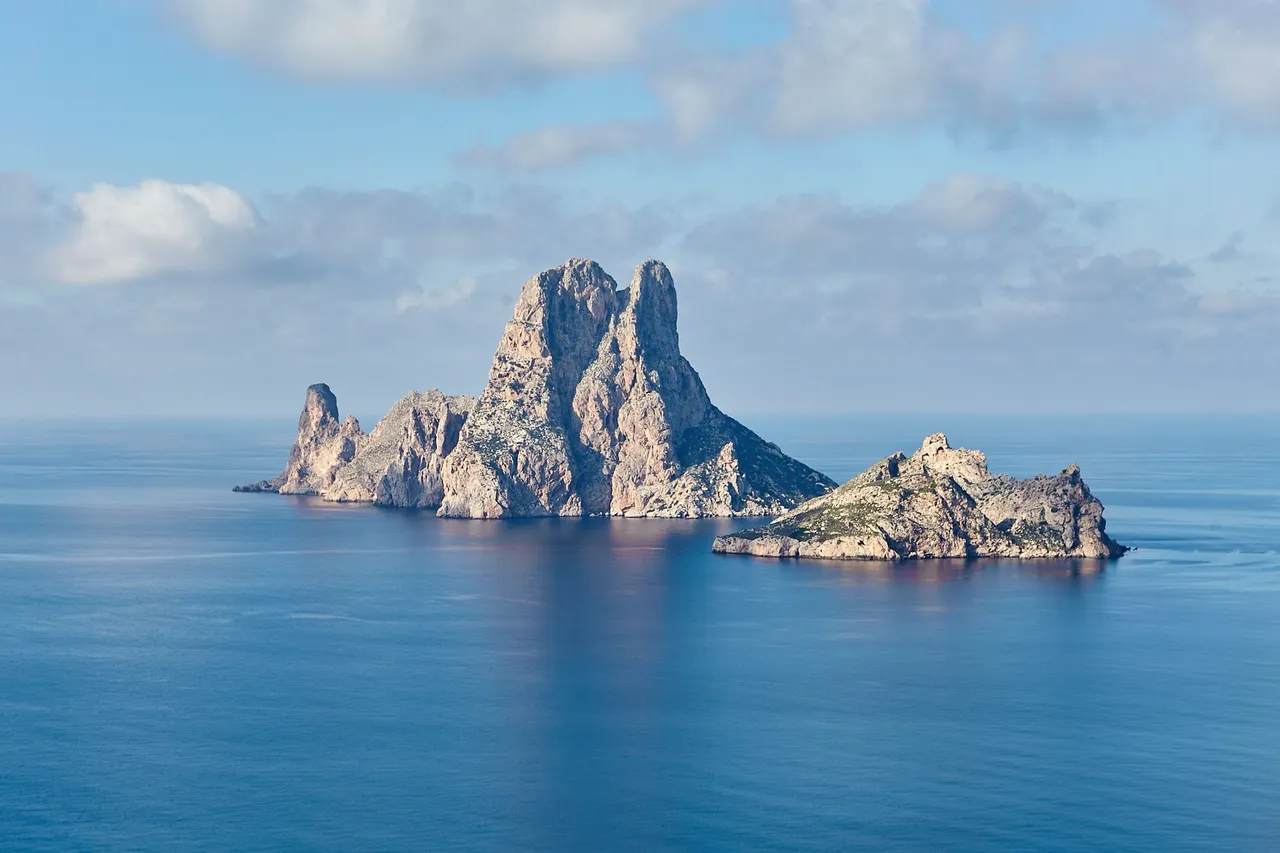
The islet of Es Vedrà is a granite mass 375 metres high, which together with the nearby small Es Vedranell marks the southern border of the Natural Park.
ESP
El islote de Es Vedrà es una mole granítica de 375 metros de altura, y que con el cercano y pequeño Es Vedranell forman la frontera sur del Parque Natural.
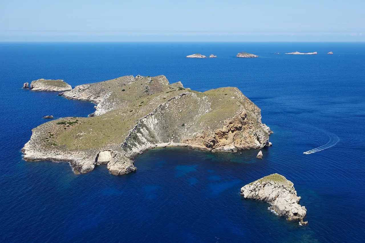
Aerial view of the islet of Sa Conillera, the most northerly of the natural park. In the background you can see most of the islets that make up the park, with Es Vedrá at the southern end.
ESP
Vista aérea del islote de Sa Conillera, el que está más al norte del parque natural. Al fondo se pueden ver la mayoría de islotes que lo forman, con Es Vedrá en el extremos sur.
Panoramic view from Cales del Compte made up of 12 shots, in which you can see the Illa des Bosc in the foreground, the small islets of Ses Bledes and the Illa Tarida on the left.
ESP
Vista panorámica desde Cales del Compte formada por 12 tomas, en la que pueden ver la Illa des Bosc en primer término, los pequeños islotes de Ses Bledes y la Illa Tarida a la izquierda.

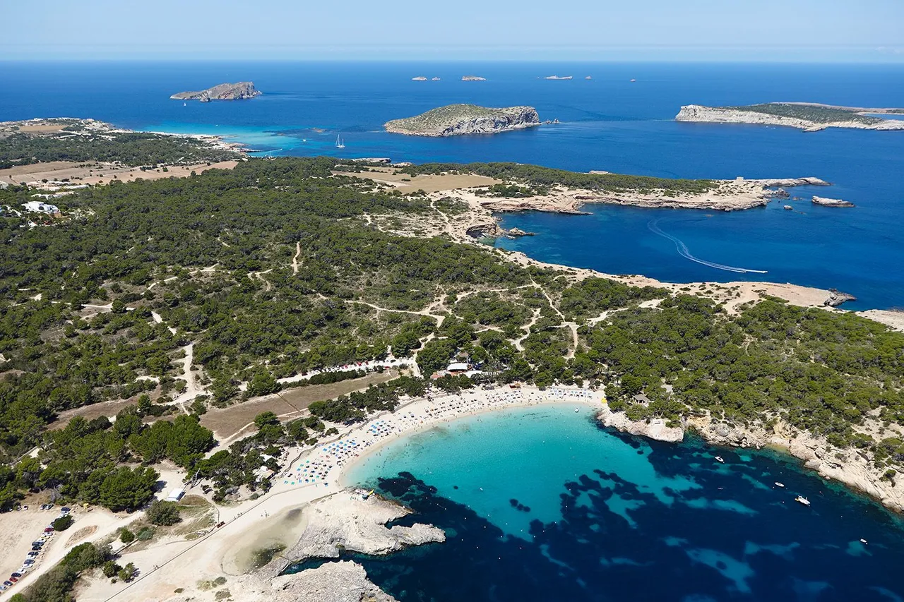
Another aerial shot showing Cala Bassa in the foreground, with part of the islets of the park in the background.
ESP
Otra toma aérea en la se puede ver Cala Bassa en primer término, con parte de los islotes del parque en el fondo.
Aerial view of the central part of the Parque Natural de los Islotes de Poniente, in the image the Illa Tarida in the foreground and the tiny archipelago of Les Illes Bledes.
ESP
Vista aérea de la parte central del Parque Natural de los Islotes de Poniente, en la imagen la Illa Tarida en primer término y el mini archipiélago de Les Illes Bledes.
Unless stated otherwise, all the pictures and the words are mine.
Do not use this image without my written permission.
Proudly free of AI.
Thanks for stopping by and taking a look.
Camera: Canon EOS5 MK II / Fujifilm X-T2
Lens: Canon 24-70 f:2.8 / Fujinon 18-55 f:2.8-4
Processed with Capture One