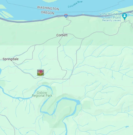
Yesterday I went to visit a friend in the small town of Corbett, OR. It's about 60 miles west of me down the Columbia River. 20 more miles west and you get to Portland.
Corbett is located on a plateau about 600 feet about the river.
It's a steep climb from the freeway to the town but once up there is it so nice.
I haven't seen this friend in quite some time so we visited for a while, catching up on things, then we drove about 5 minutes to a trailhead and hiked down to Oxbow Park on the Sandy River.
Didn't take out my phone at all when we were together, which was awesome.
She was headed into Portland for a concert that evening so after the hike we went back to her house where I picked some blackberries and hit the road.
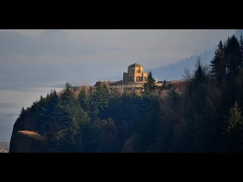
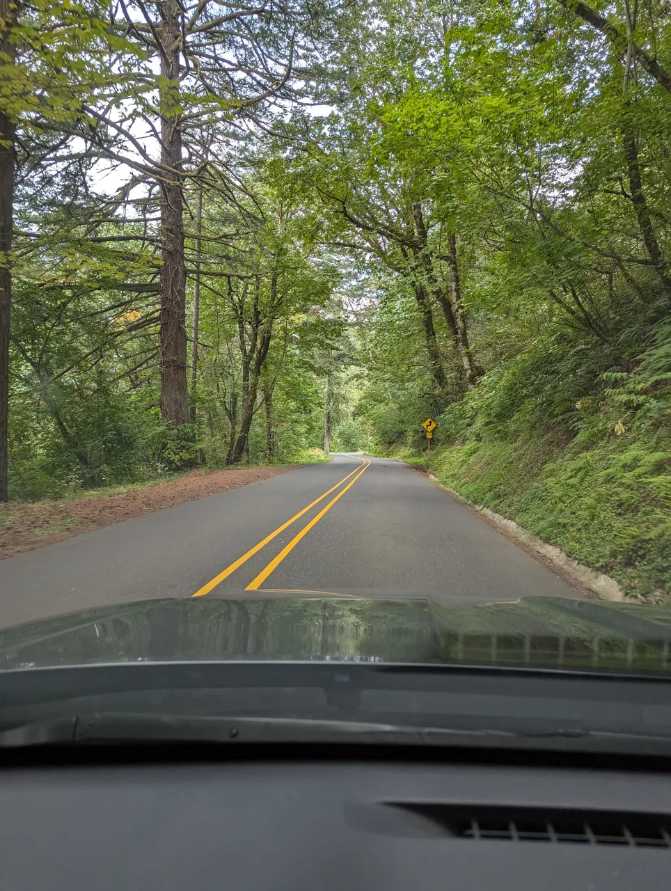
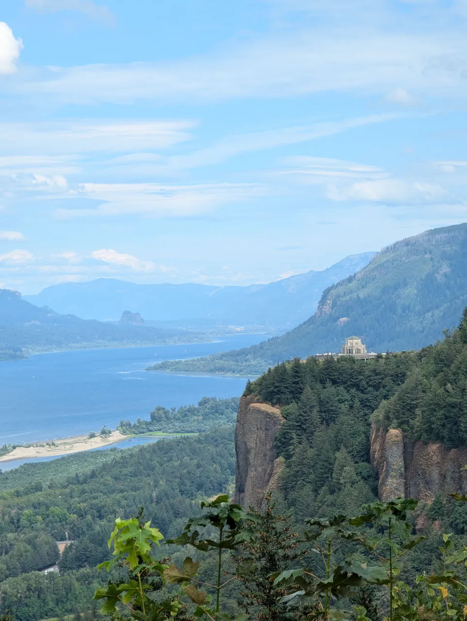
I had some time so I took the scenic route home, with some stops. The first stop was at the Portland Women's Forum State Scenic Viewpoint, which afforded me this view of the Columbia River Gorge, the river itself, the Crown Point Vista House (on the right-middle of the photo), and, in the distance (about the middle of the photo), Beacon Rock.
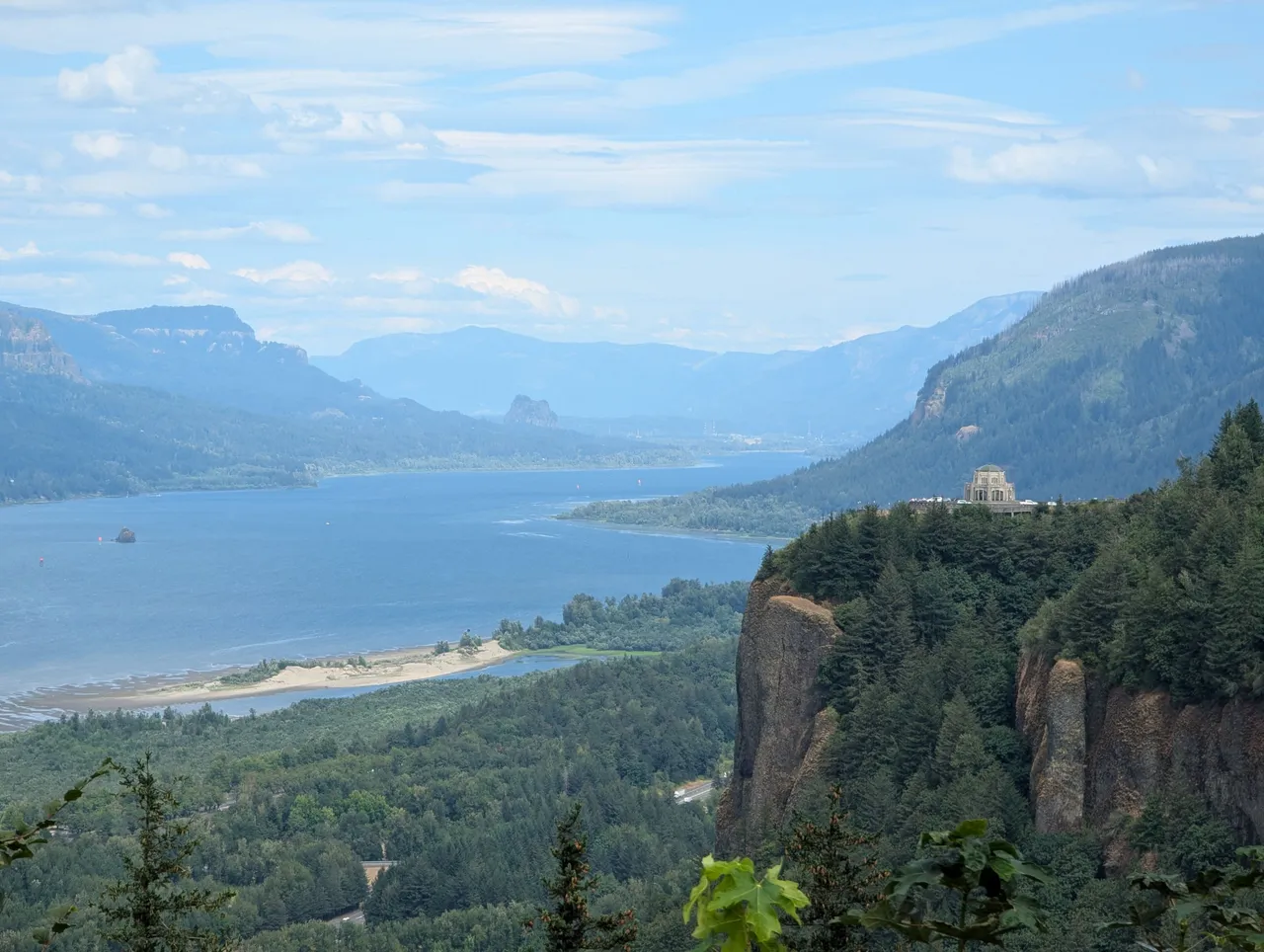
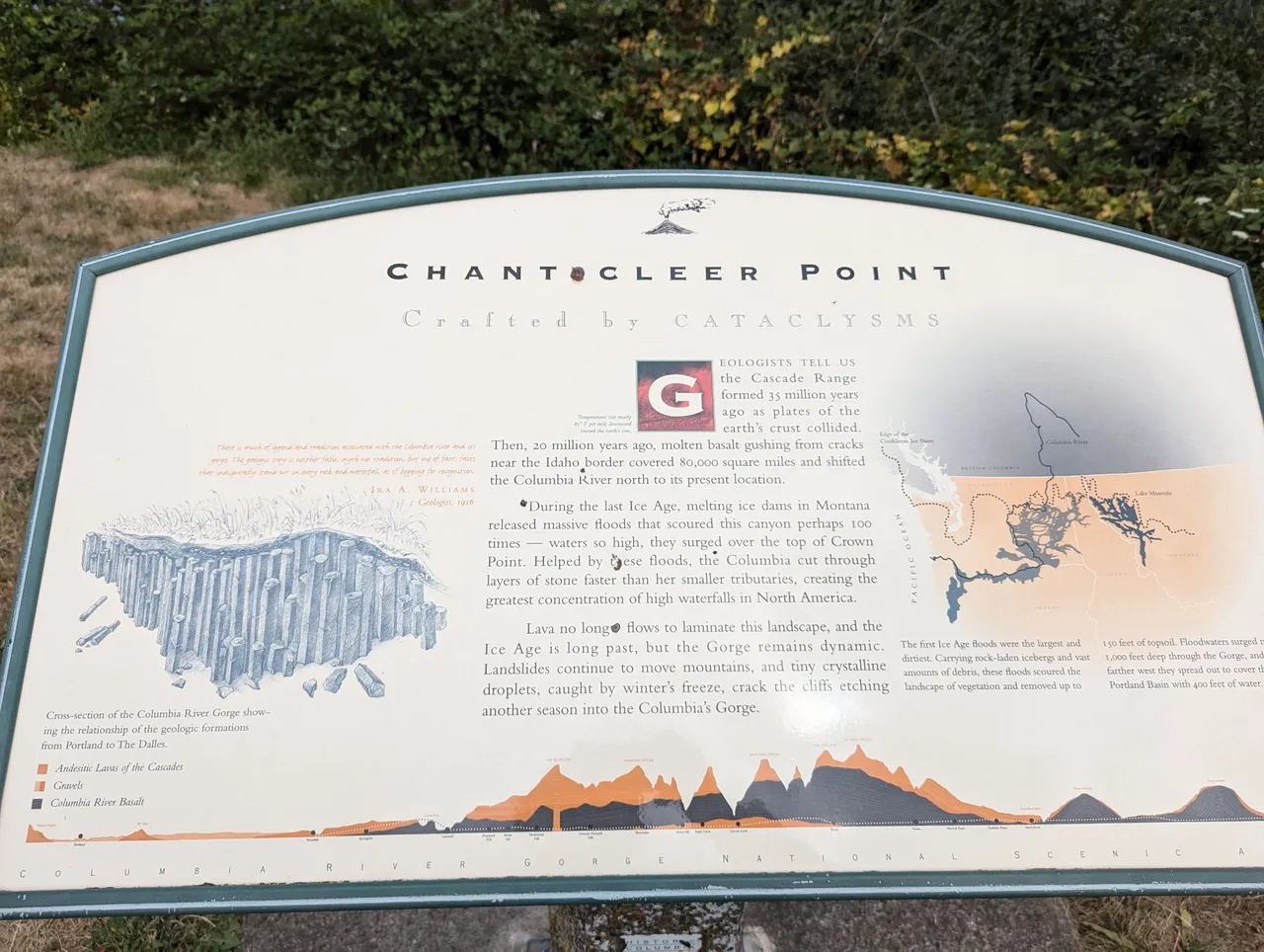
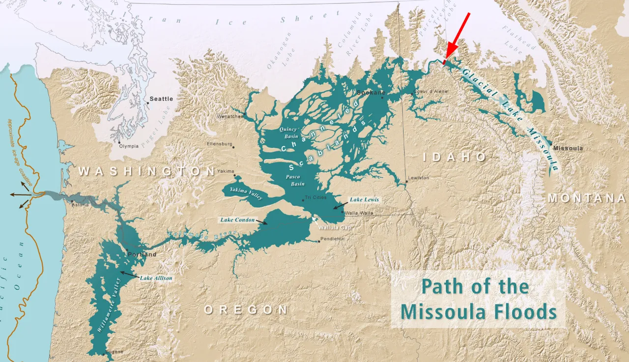
The gorge was carved out about 15,000 years ago by a series of ice age floods. The floods were brought on when an ice dam holding a giant lake (Lake Missoula) broke, end a wall of water into Washington and Oregon. This happened repeatedly, over many hundred years, carving out the gorge and much of eastern Washington and eastern Oregon's landscape.
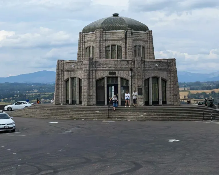
After that stop I moved on down the old Columbia River Highway to the Vista House.
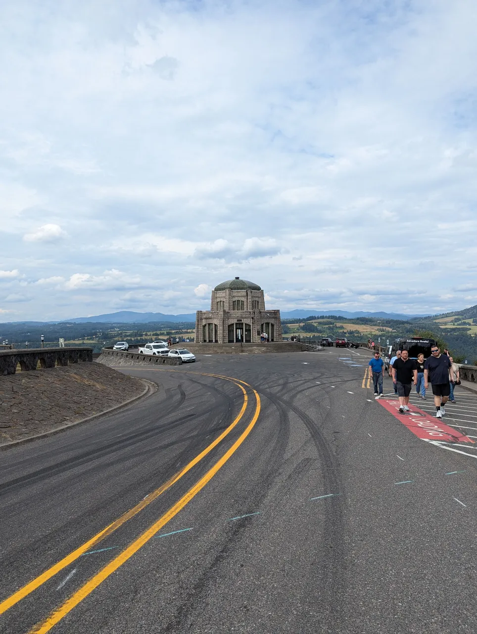
It was closed but I walked around a bit, then got in the car and headed home. Turned out to be a wonderful day :D