NOTE: Links at the bottom of the text for the 3d models.
A while back I was working on a project to map the The abandoned Donner Summit Train Tunnels with my drone.
This was a test to see if flying inside w/o gps would work well and provide me good enough results to generate a 3d data set. Most of the work I do with 3d mapping has the drone fly in a grid pattern and take pictures down at the landscape. I had to manually fly the drone inside in a grid pattern flying up moving over a bit, back down and repeated.
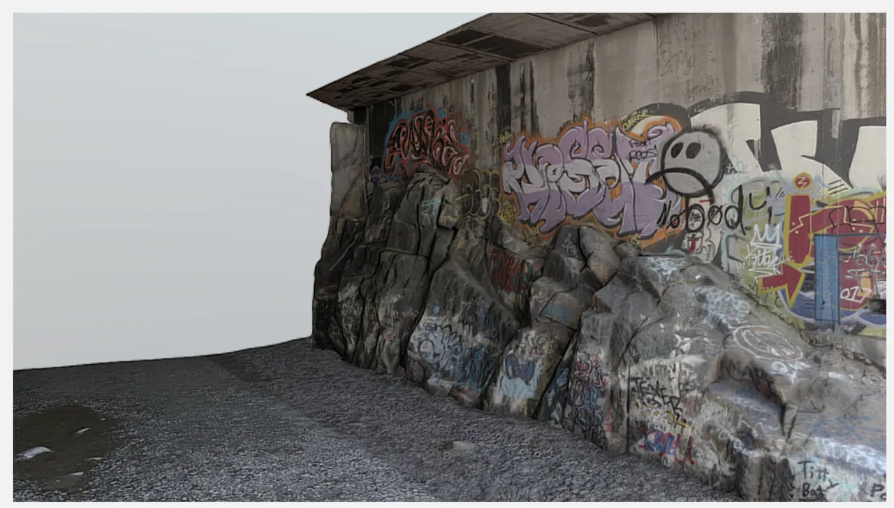

The results are not to bad.. You can see the models at links below. I broke them up into 3 separate models. One that has both walls and a ground (I cut out the top so you could zoom in), and then each separate wall.
This was a tedious process to do and also took over 2 days to generate all the data, properly clean up the model, do poly reduction and make sure the texture maps popped.
Anyhow rambling.. I'll do a blog post about this soon on my website! Cheers and let me know if you like these or have questions.
Combined:
https://sketchfab.com/models/432b1cd4e06b44039869349e7e7eefa5
Section 1:
https://skfb.ly/68RTr
Section 2:
https://skfb.ly/68RTv