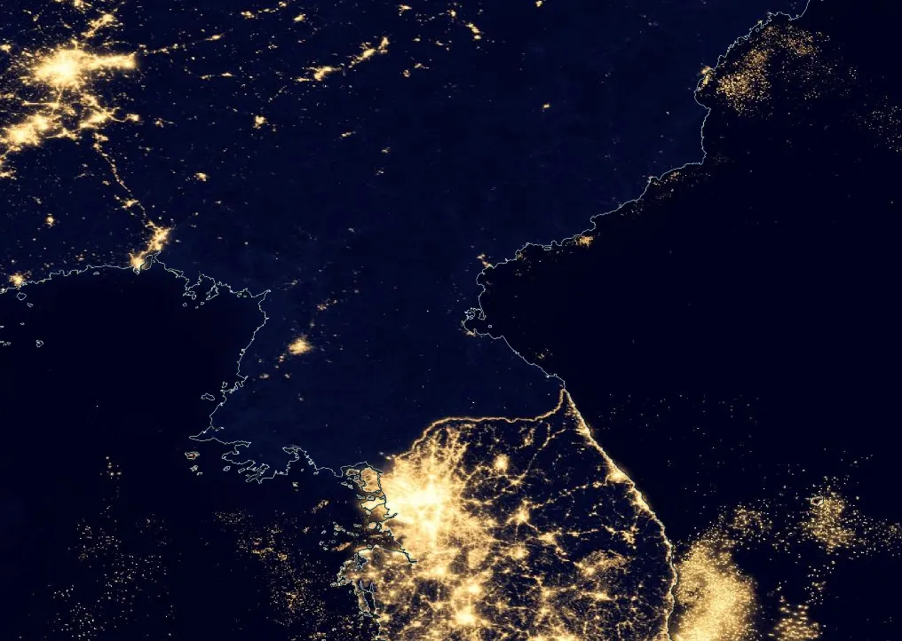
This is an amazing visualization of the Earth at night. The website is seamless when moving around the globe, zooming in or out.

Credit: NASA
Earth at Night 2012: VIIRS City Lights 2012
Temporal coverage: 2012
The Earth at Night layer is a night time view of the Earth, showing visible light emanating from sources such as city lights, gas flares, wildfires, auroras and reflected moonlight. The image is a composite of data from the Visible Infrared Imaging Radiometer Suite (VIIRS) instrument on board the joint NASA/NOAA Suomi National Polar-orbiting Partnership (Suomi NPP) satellite. The image composite was assembled from clear, cloud free images from 9 days in April 2012 and 13 days in October 2012.
The Earth at Night imagery is available only as a single snapshot in time for 2012. The sensor resolution is 750 m and the image resolution is 500 m.