Asia, Antarctica, North America, Africa, and even the Sun. Since humans learned that our world is bigger than what we thought it was, we have been exploring it. In our recent world, it is very easy to say that we are at one location or the other since we now have the GPS and so many software company using the information from it to tell us where we are in real time but how did we get too where we are now?
Humans begin to experiment the course over 400 years ago, and to get the answer, a lot of things were done including creating instruments, identifying positions, and soon an entire field of study was created for it and here we are today like we had it all figured out 1000 years ago but in other to know where we are on earth, we needed to know what time it is where we are.

wikimedia
In secondary school, I remember my teacher teaching me about some lines on the map. Before you mention Contour lines, they aren't what I am talking about. I am talking about Latitude and longitudes where the lines of latitudes are horizontal lines that go from left to right, and they tell how far north or south a person is from the equator which is stated at Latitudes 0 degrees. Longitude on the other hand as you would expect are lines running from down to up, showing how far to the east or west a person is from the Prime Meridian (Greenwich meridian).
To get the lines, it took a combination of great people including kings, queens, mathematicians, sailors as well as watch makers and even bombs, and the satellite over time. Humans have been able to identify latitude for thousands of years by looking at the distance of the north star from where they are. At the equator, the north star will be zero, in a country like France, the north star will be at about 45 degrees, and at the north pole, the north star would be at 90 degrees.
Although latitude was y for people including the Persians, Hebrews and many more, it wasn't the same with finding Longitude. This was difficult because since the earth spins, the reference points that were intended to be used in the sky weren't at the same place they were when last checked but people were able to identify how far east or west they have moved by looking at how far in time they have left. Since our planet took about 24 hours to complete a full 360 degrees revolution.
With longitude, 1 hour represent 15 degrees longitude. Do you understand what I just said? I guess you do but in case you didn't let me explain. If I am at point A and the time is 5AM while the time at point B is 2AM, it means I am 3 earth rotation hours away from point B and Point B is 3 earth rotation hours behind point A which is about 45 degrees longitude. With this same explanation, it means point B is more West than point A because it is earlier than point A.

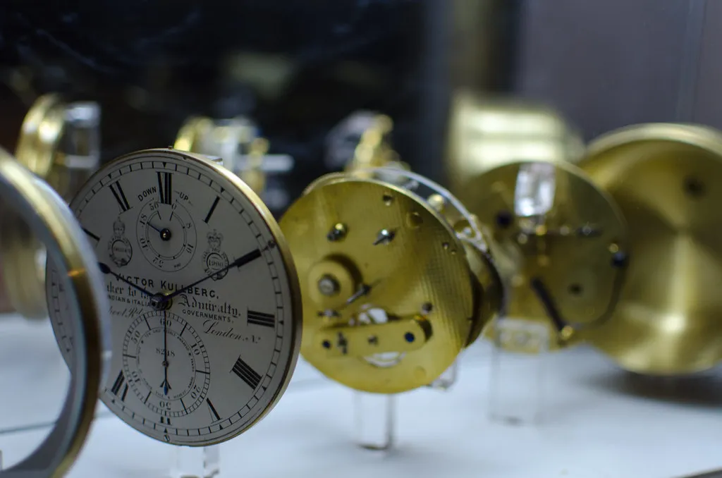
Yeah, that's simple you would say, but this wasn't the same about 400 years ago because there isn't a Google Machine to ask what time it is in Tokyo, or the United States. John Harrison was able to build a clock whichh helped in understanding longitude better and the clock that was used to differentiate different longitudinal regions was zeroed at Greenwich and compared with other region.
Our modern life including preparing for missile launches and simple things like going out to meet a friend or travelling for honeymoon all depends on where the location is and the time. Knowing When you are can determine where you are around the globe.
Reference
https://oceanservice.noaa.gov/facts/longitude.html
https://www.sea.museum/en/article/a-beginners-guide-to-longitude
https://science.nasa.gov/solar-system/skywatching/what-is-the-north-star-and-how-do-you-find-it/
https://www.scientificamerican.com/article/what-exactly-is-the-north/
https://www.sea.museum/en/article/a-beginners-guide-to-longitude
https://science.nasa.gov/solar-system/skywatching/what-is-the-north-star-and-how-do-you-find-it/
https://www.scientificamerican.com/article/what-exactly-is-the-north/