This post is an answer to a question from @sigota's post "Where were you 10 years ago?" as part of one of the PhotoGames. So today I'm going to tell you about one of my hiking trips in the mountains, where I went 10 years ago (and how not to go to the mountains).
My childhood friend Peter and I have been thinking about climbing to the top of some mountain for a long time, since our youth. For the first time we went to Mount Bolshoi Tkhach in Adygea. It was not very high (2368m) and quite easy to climb, and we wanted new achievements. Therefore, about 10 years ago, in August 2012, we decided to climb Mount Fisht with a height of 2867m. It is located on the border of the Krasnodar region and the Republic of Adygea (this is also a region of Russia, I was born there). We went as a group of four: me, Peter and two more of our friends.
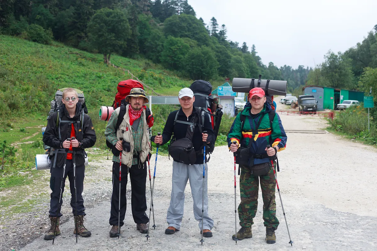
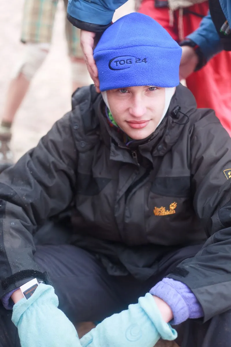
Almost everything in this hike was new for us, since we had not had such long hiking routes with backpacks until then, and climbing to the summit was, although not very difficult, but still having category 1B in Russian grading system. We were adults (three about 30 years old and the fourth, a few years younger) and in good physical shape. Getting ready for a hike was not an easy task, since for us it was an important and serious event, and we didn’t have any specialized equipment for the mountains, so we didn’t take it. However, everyone had trekking boots and trekking poles.
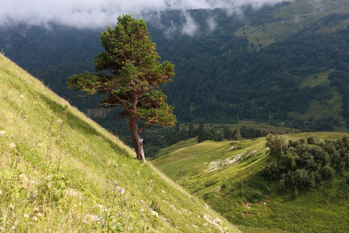
The trail to Mount Fisht is part of the old official Soviet tourist route №30 through the mountains of the western Caucasus to the Black Sea, many tourists have passed through it from the time of the USSR to the present day. The path to the foot of the mountain is not difficult, but long.
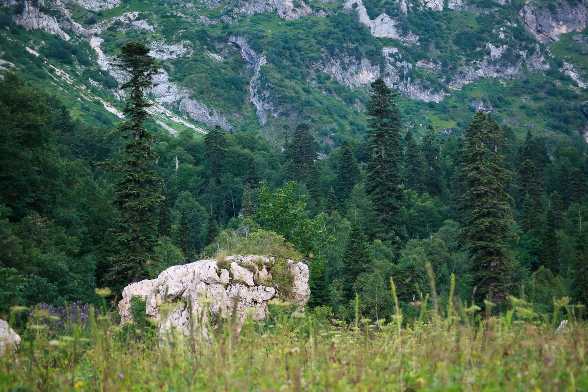
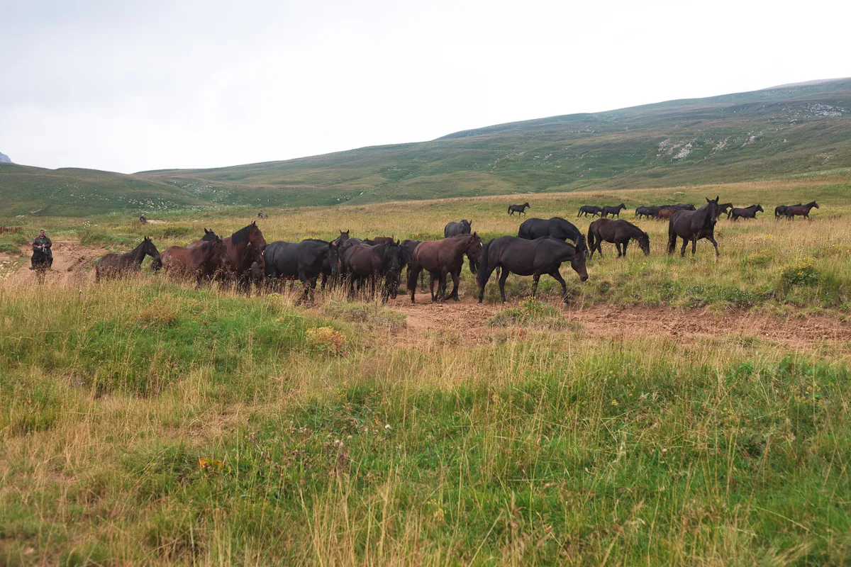
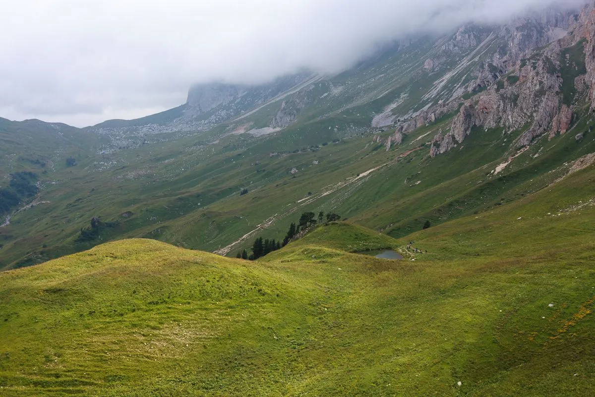
The route runs through the territory of the Caucasian State Natural Biosphere Reserve. The beginning of the path passes along the Lago-Naki plateau, where local residents graze horses and cows.
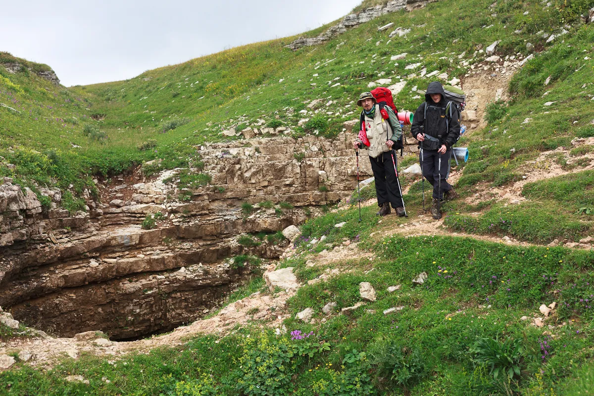
We planned to reach the main Fisht shelter, which is located right under the mountain, in a day and spend the night there before the ascent. So we had to walk about 20 km until there. Along the way we saw a large number of karst caves. Mount Fisht and its surroundings is a real paradise for speleologists! There are many deep and branched cave systems.
We walked quite quickly and made the first halt approximately in the middle of the way to the Fisht shelter. In this place, not far from a fairly large stream, those who walk more slowly stay for the night, and you can even somehow drive there by car, although, of course, there are no roads anymore.
There is a place not far from there, which is called the Instructor's Hole — this is a passage among the rocks.
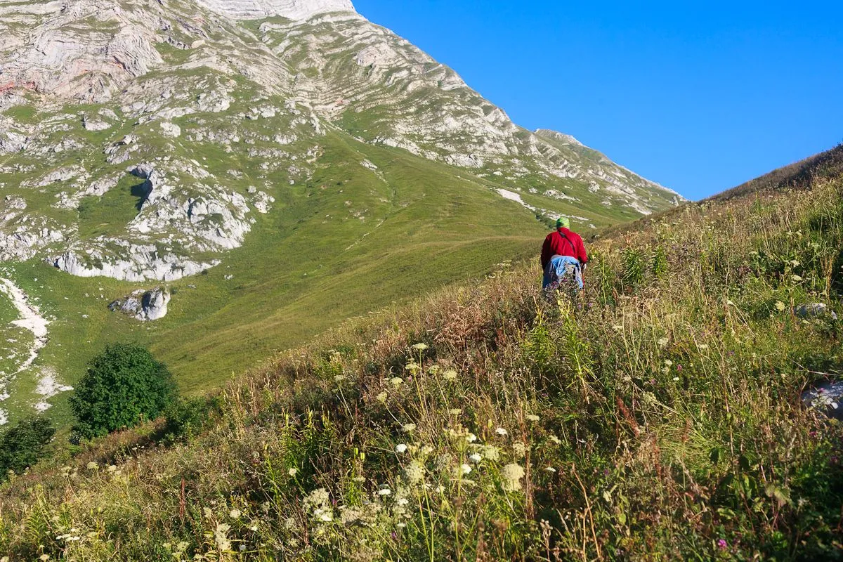
You can see part of the trail on the slope.
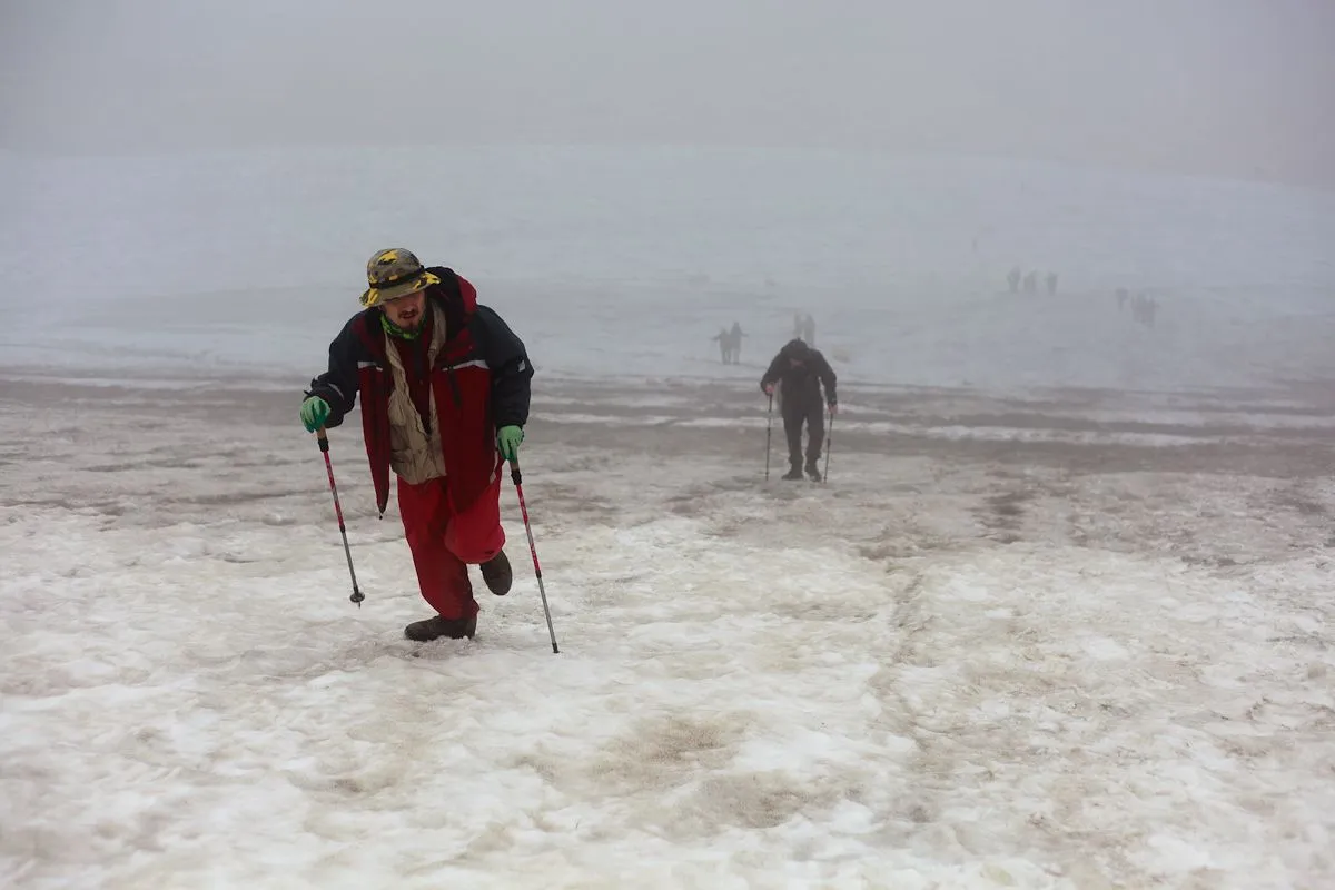
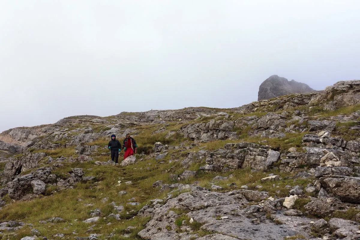
In the mountains, the weather changes rapidly: it was just sunny, but now it is getting colder and fog is falling.
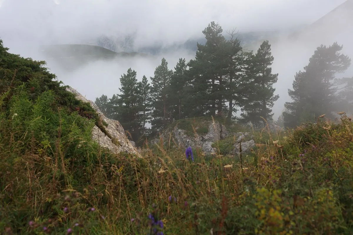
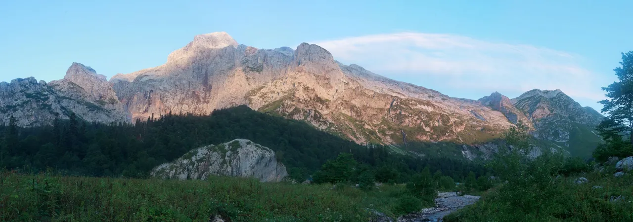
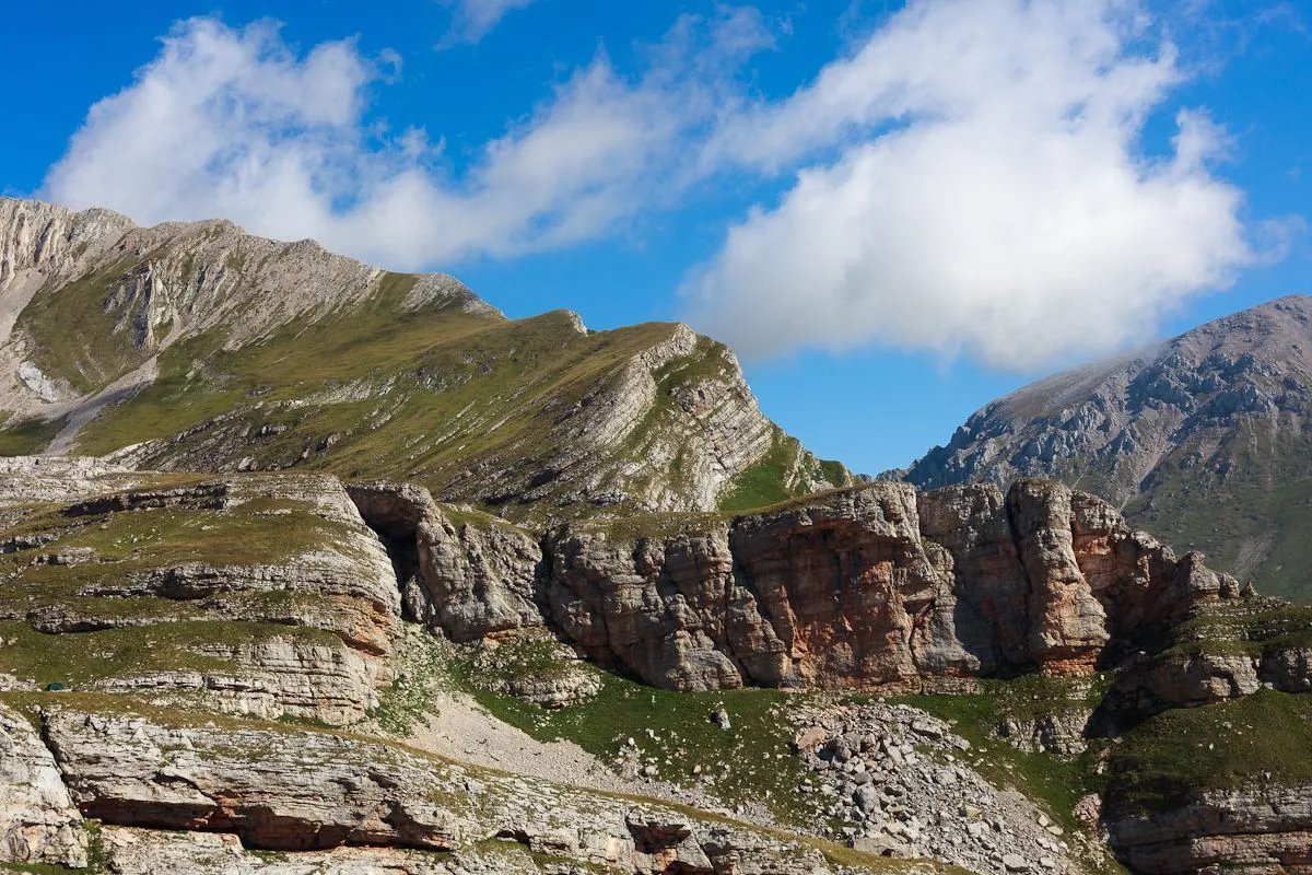
Toward evening, we already saw the top of Mount Fisht, although it was hidden in fog and clouds. This is the Armenian pass.
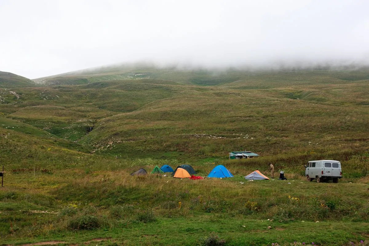
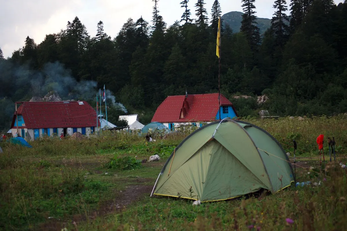
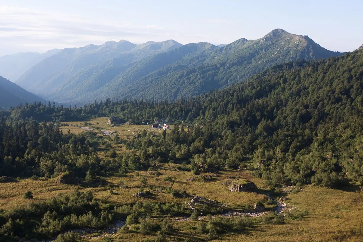
We reached the shelter, set up an awning and tents for an overnight stay.
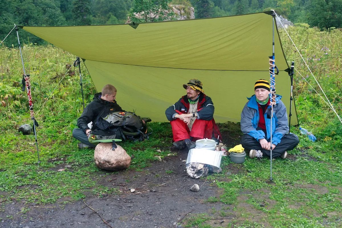
The Fisht shelter is a large glade in a valley among the mountains, equipped for setting up tents (there is a toilet, places for cooking and eating), as well as two houses directly from the shelter, where you can also spend the night. From there it is convenient to climb the three highest peaks of the region — Mounts Fisht, Oshten and Pshekha-su.
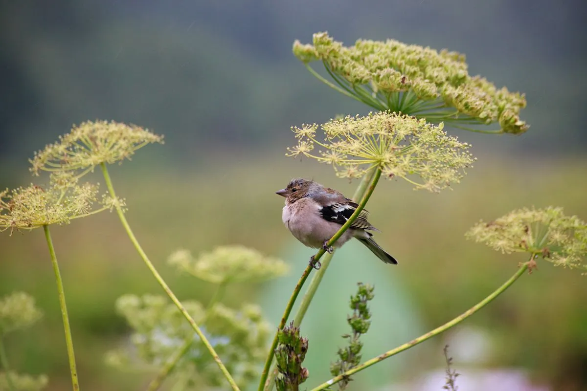
I managed to take a picture of the bird.
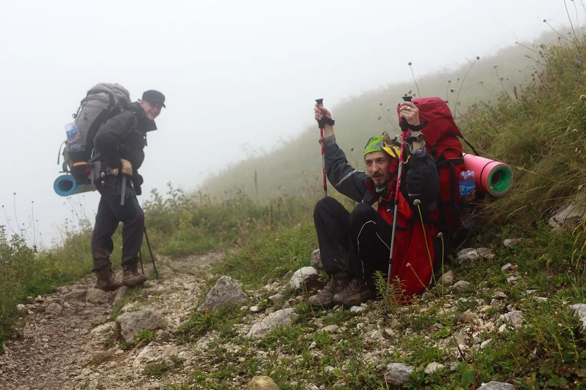
The next day the weather was fine, and we, having risen early in the morning, went to the ascent of the mountain, leaving large backpacks in the shelter.
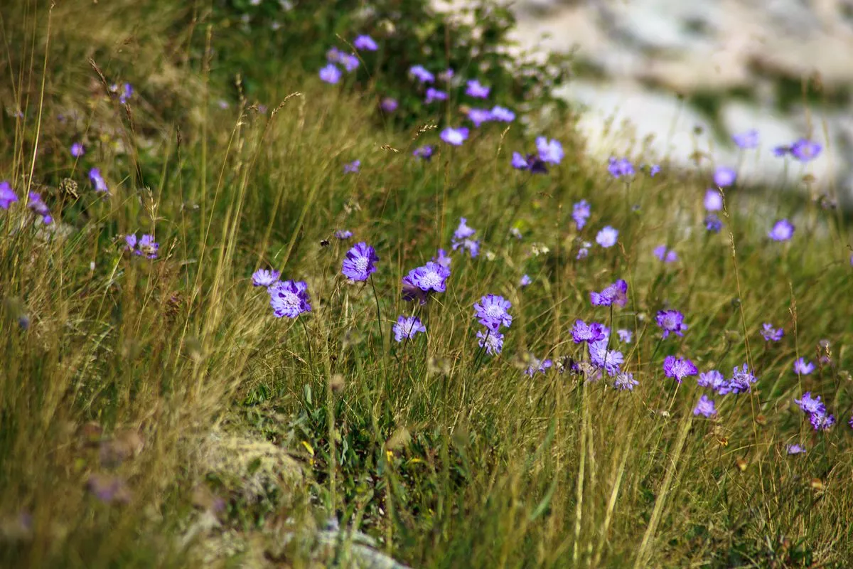
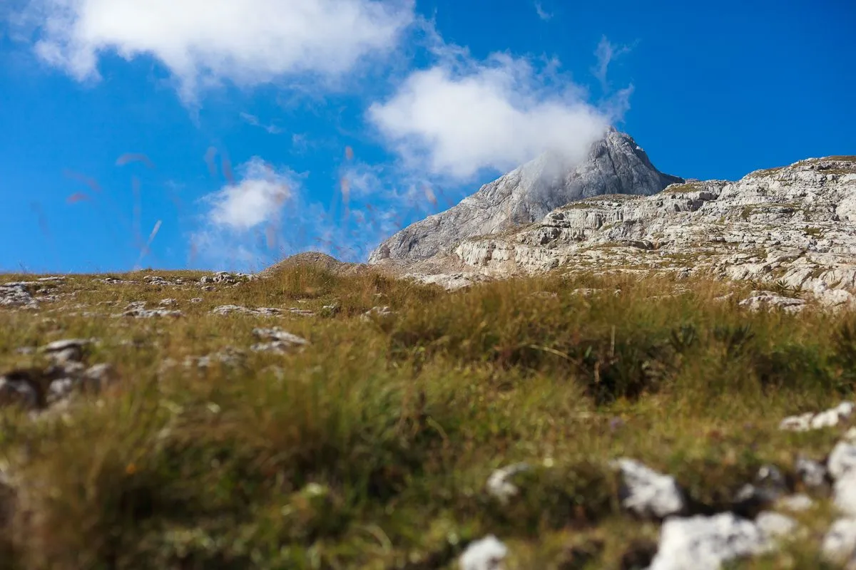
The trail up first goes through alpine meadows.
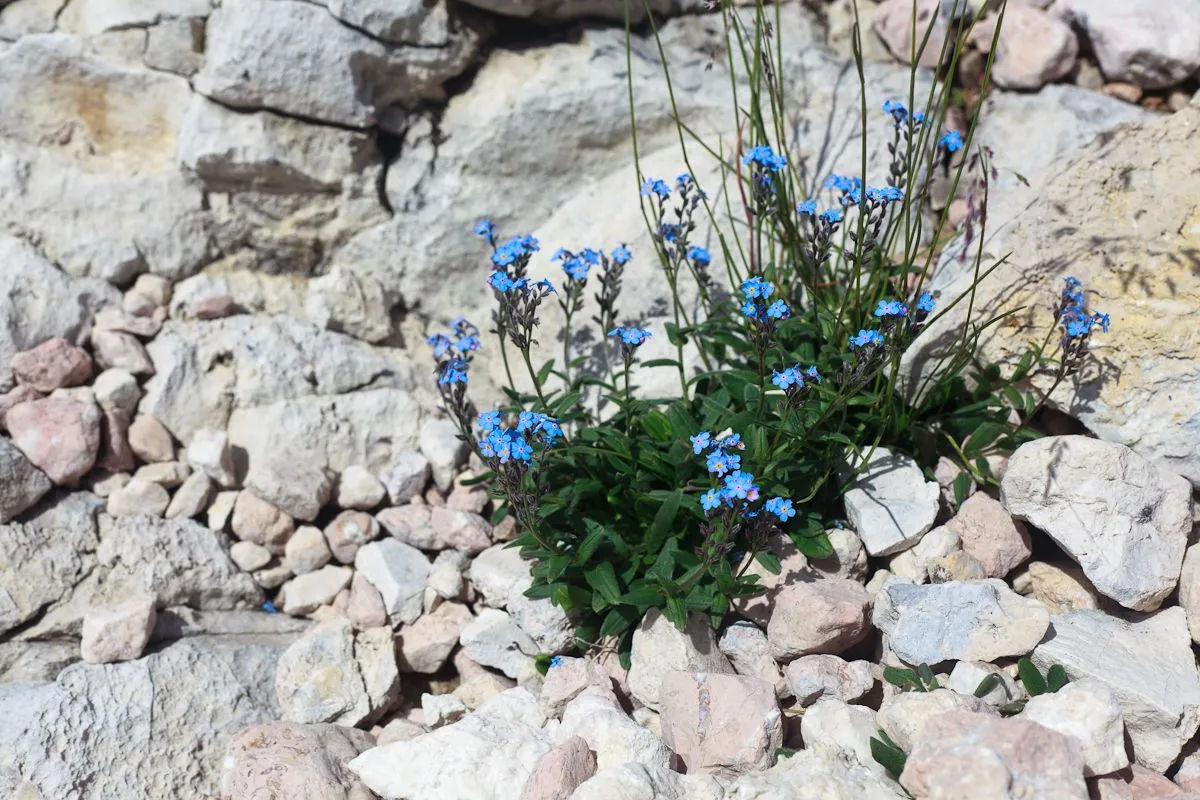
Around there were the greenery and flowers, the sky was almost clear and the sun was shining - good!
We rose above the shelter and looked at it from above. By the way, the shelter itself is located at an altitude of 1600 meters above sea level. So the total climb from it to the top is 1267 meters.
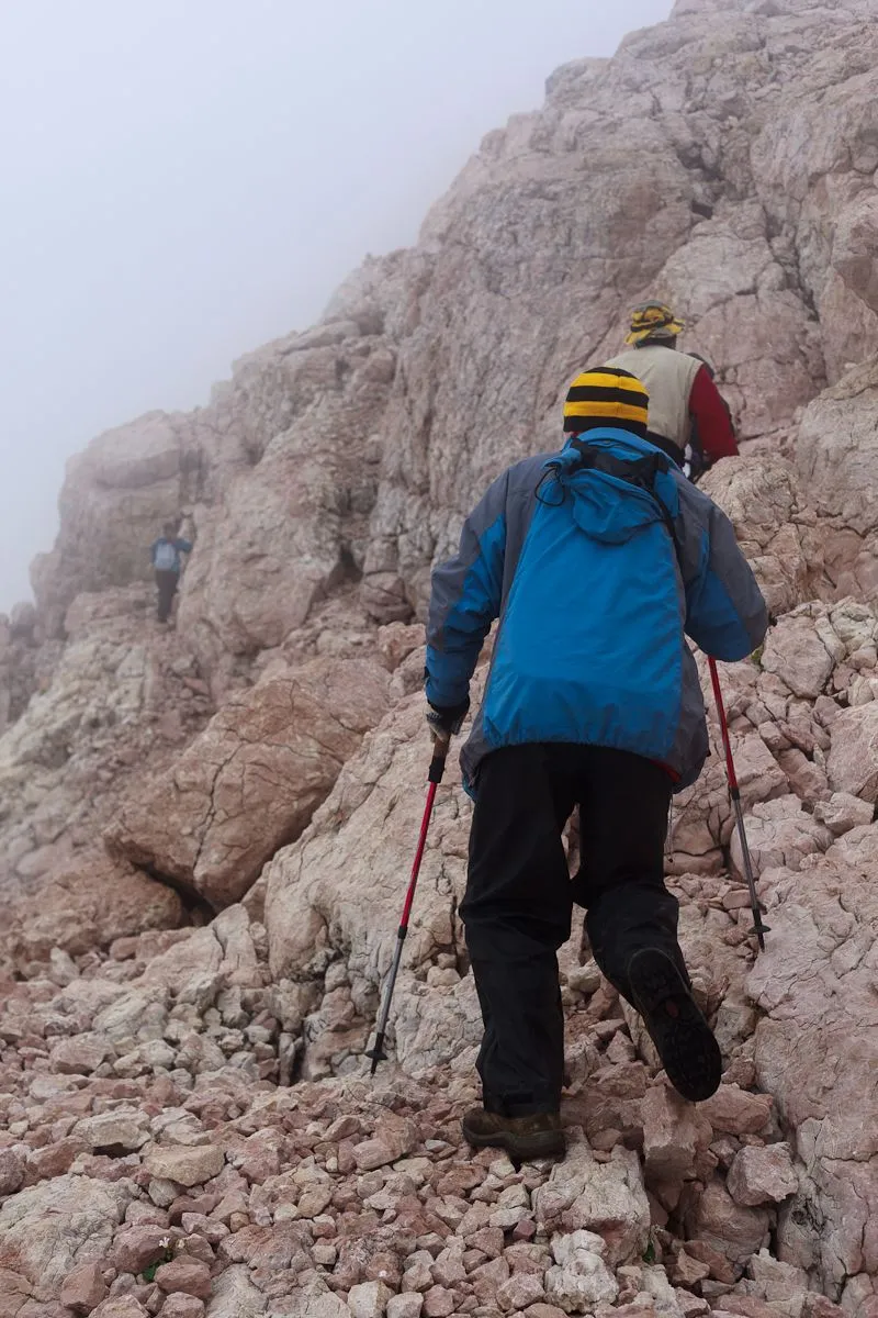
Then the rocks began, in one place we had to climb the rope, which was hung there.
 |  |
|---|
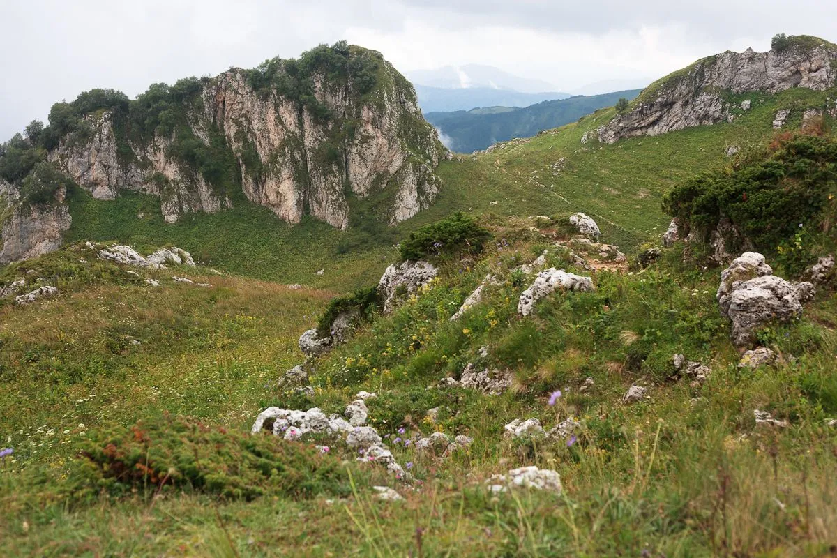
So far, even in the rocks there were flowers, but the higher, the less life was underfoot.
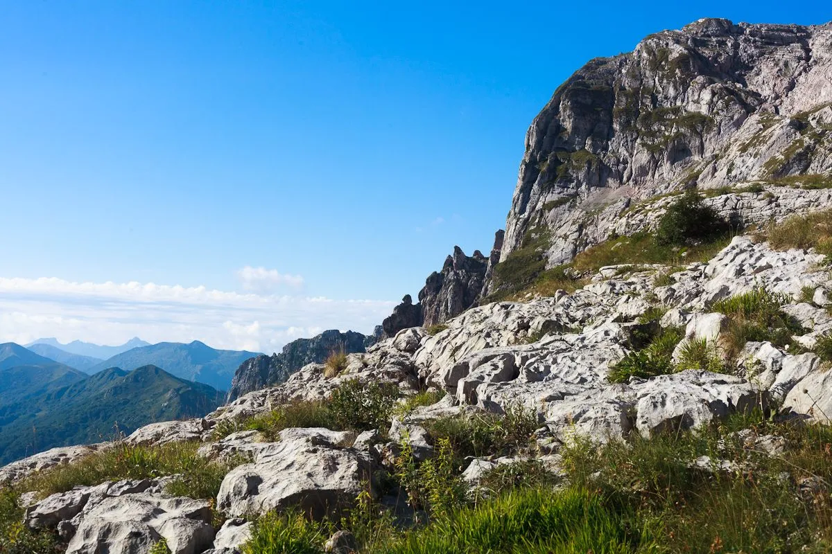
These rocks are conspicuous, including being guided by them when climbing. Because of the reddish-red color of the rock, they are called the Red Rocks.

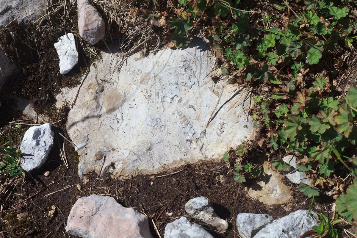
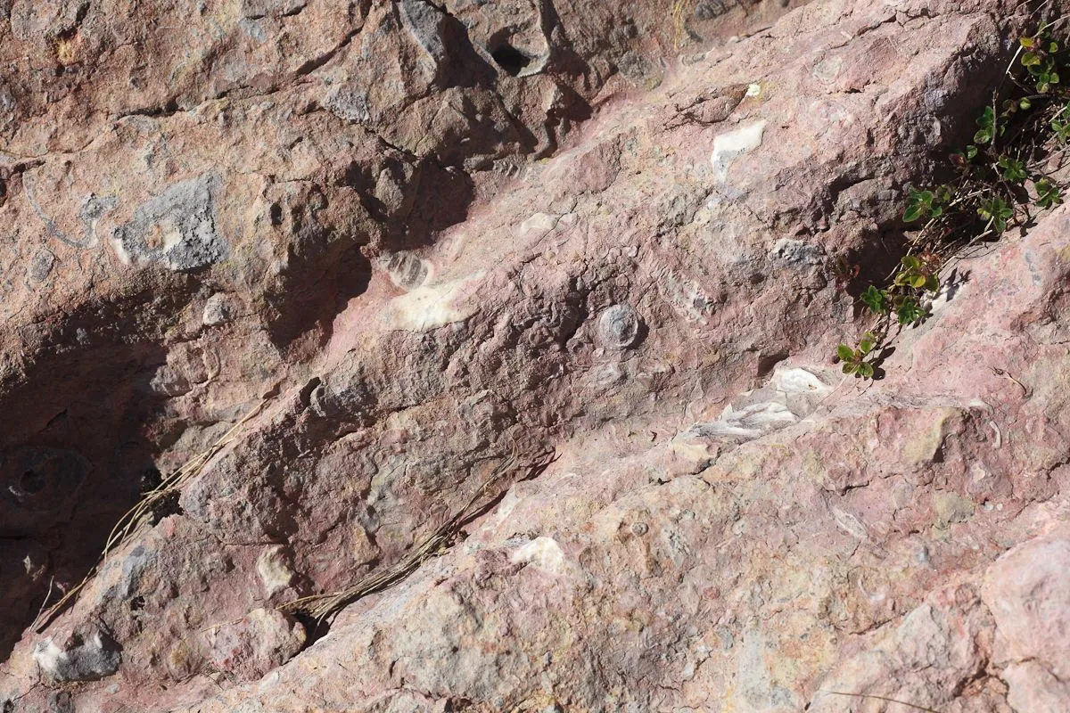
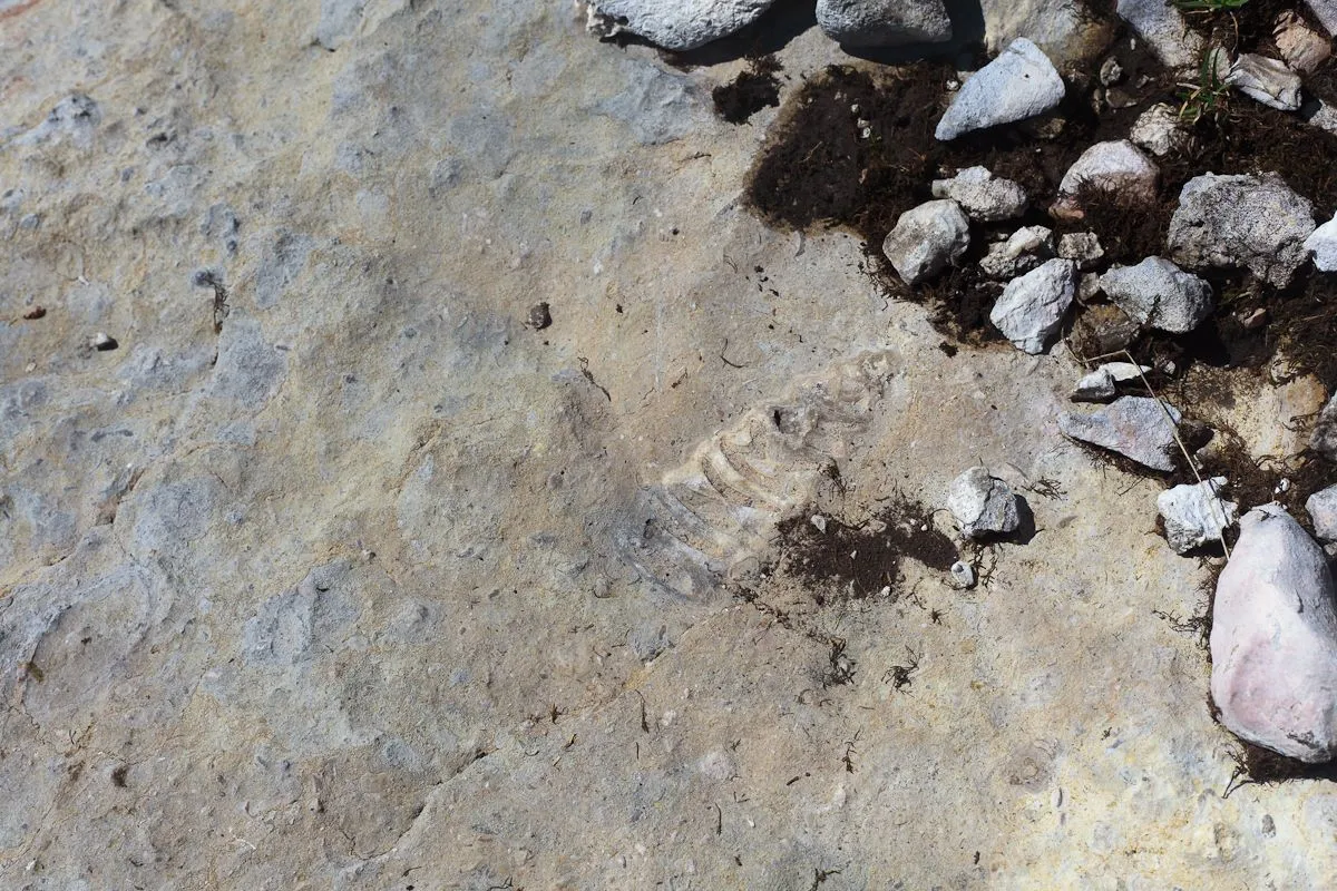
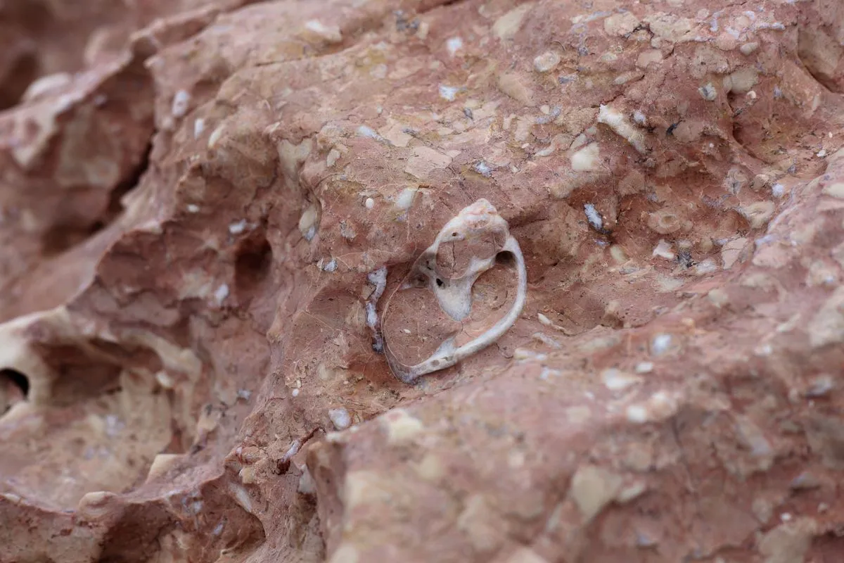
In the rocks you can find a large number of petrified shells — the entire Fisht-Oshtensky mountain range is made of limestone. Mount Fisht and neighboring peaks many years ago were either barrier reefs, or simply islands in the ancient ocean.
 |  |
|---|---|
 |  |
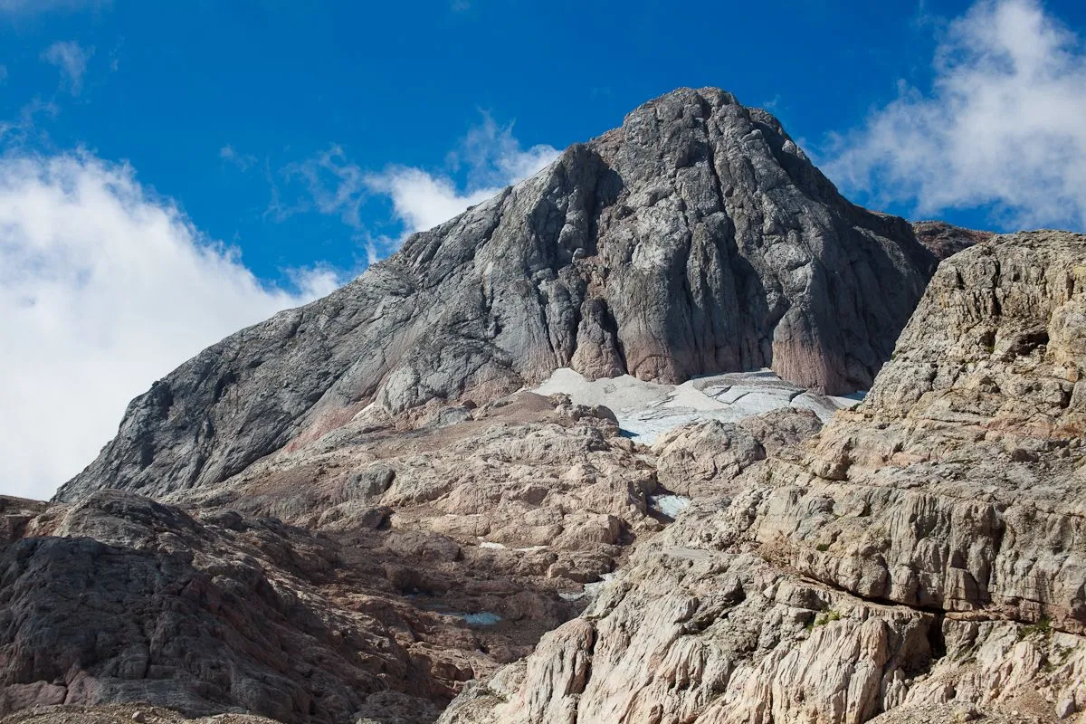
We can already see the top of Mount Fisht, but it is still far away.
Opposite is the slope of Mount Oshten (height 2804m).

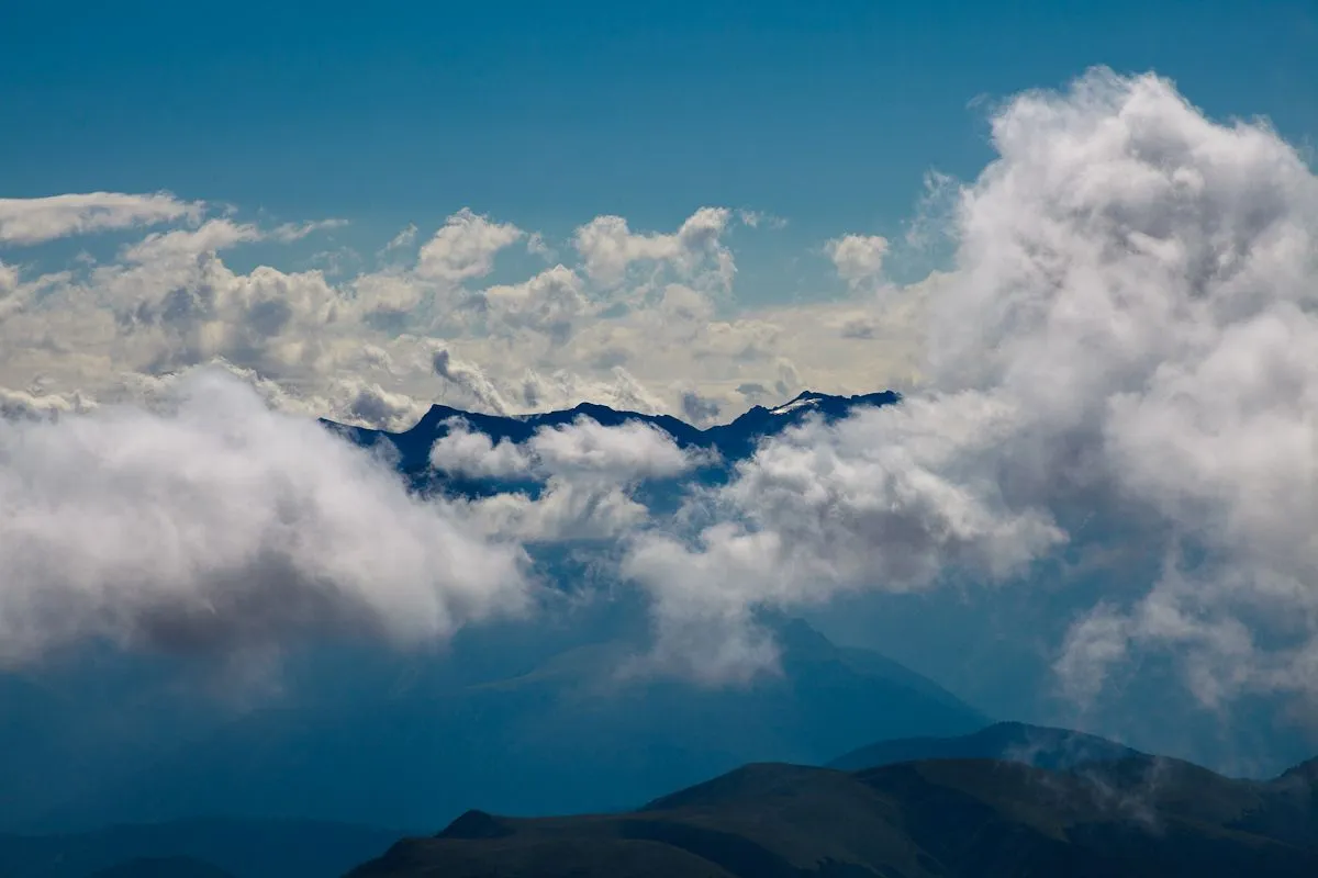
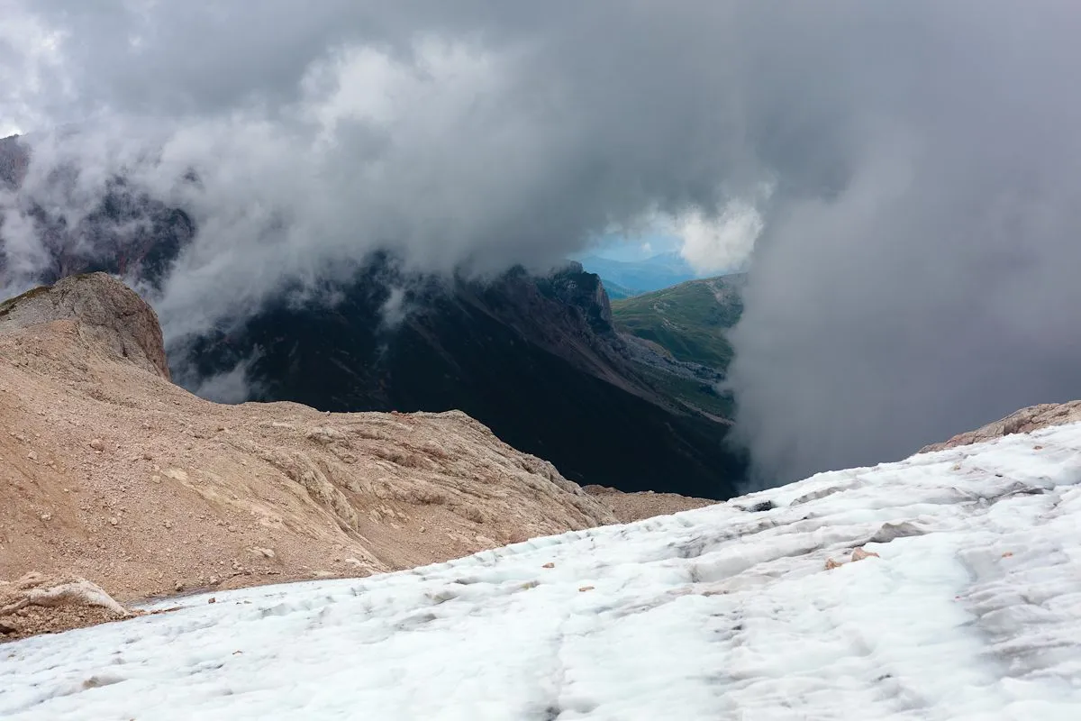
Here we have already risen to the level of the clouds.
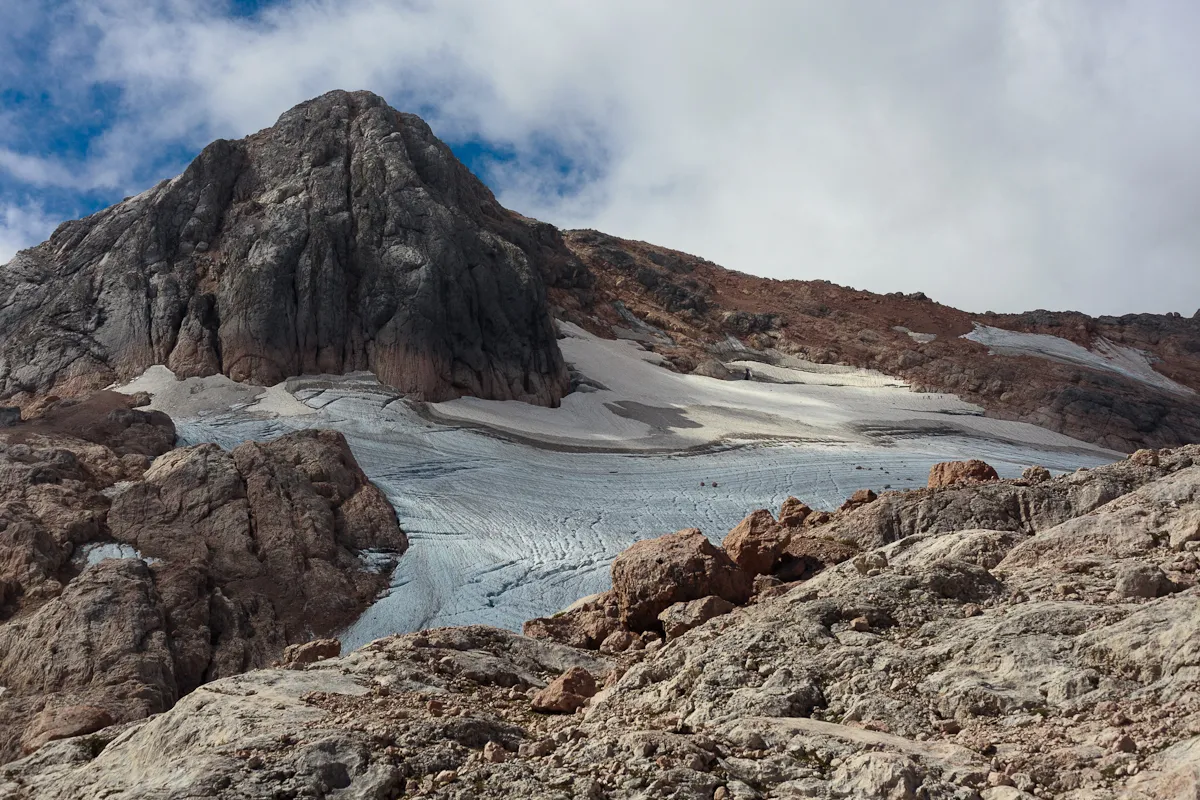
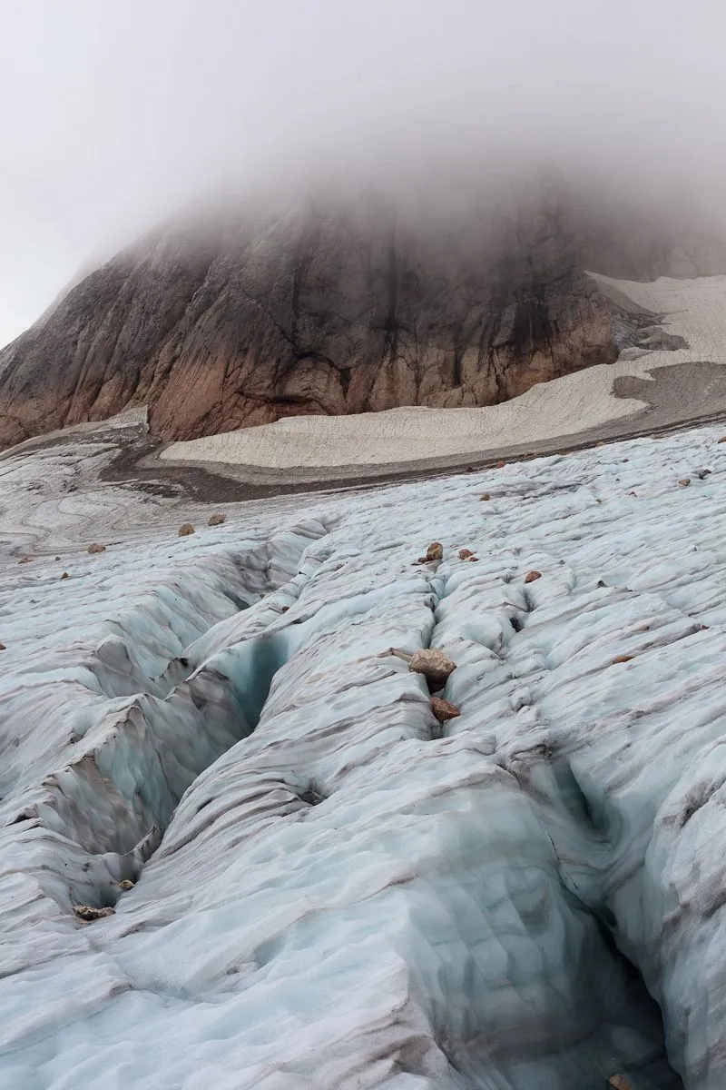
We are approaching the glacier — this is the Big Glacier of Mount Fisht. We need to cross it and go to the rocks again to the finish line to the top.
 |  |
|---|
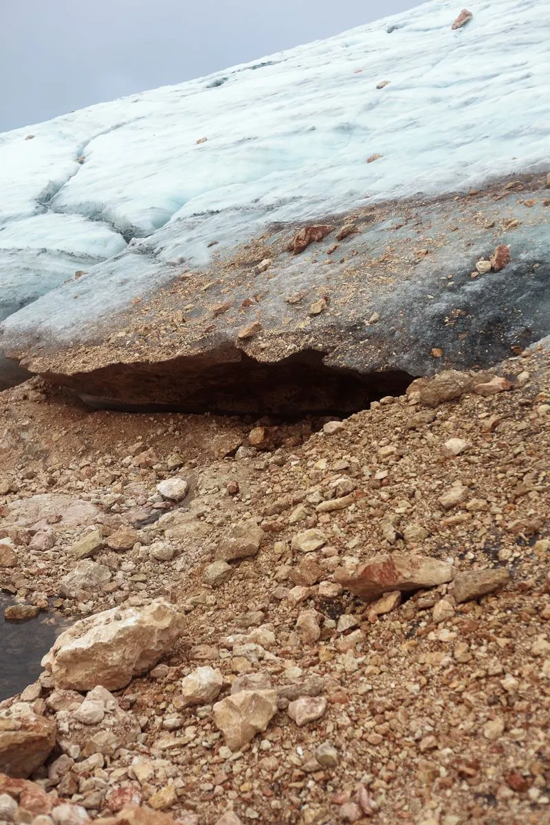
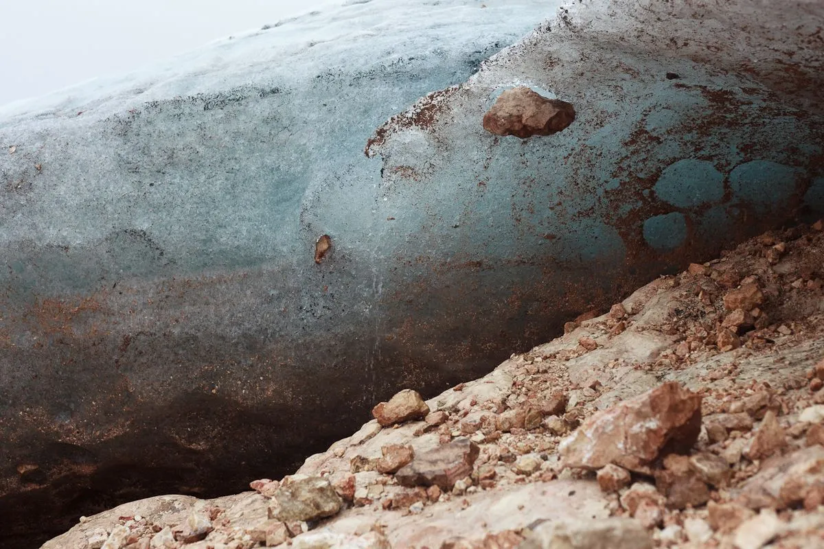
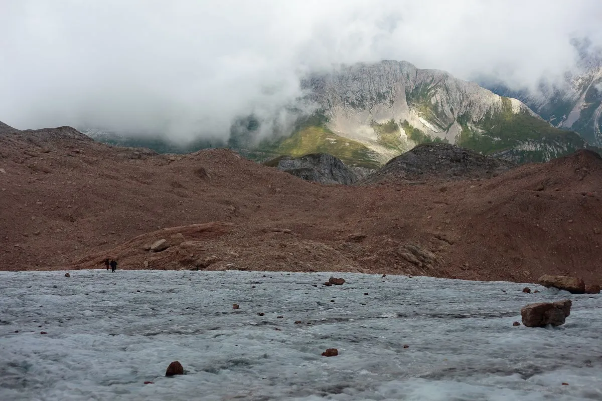
In terms of area, the glacier is not so big, but the second glacier on the other side is even smaller, and is called Small Glacier of Mount Fisht. Their area and mass are decreasing every year, but they are still strong and, like any glacier, the Big Fisht Glacier looks impressive.
 |  |
|---|
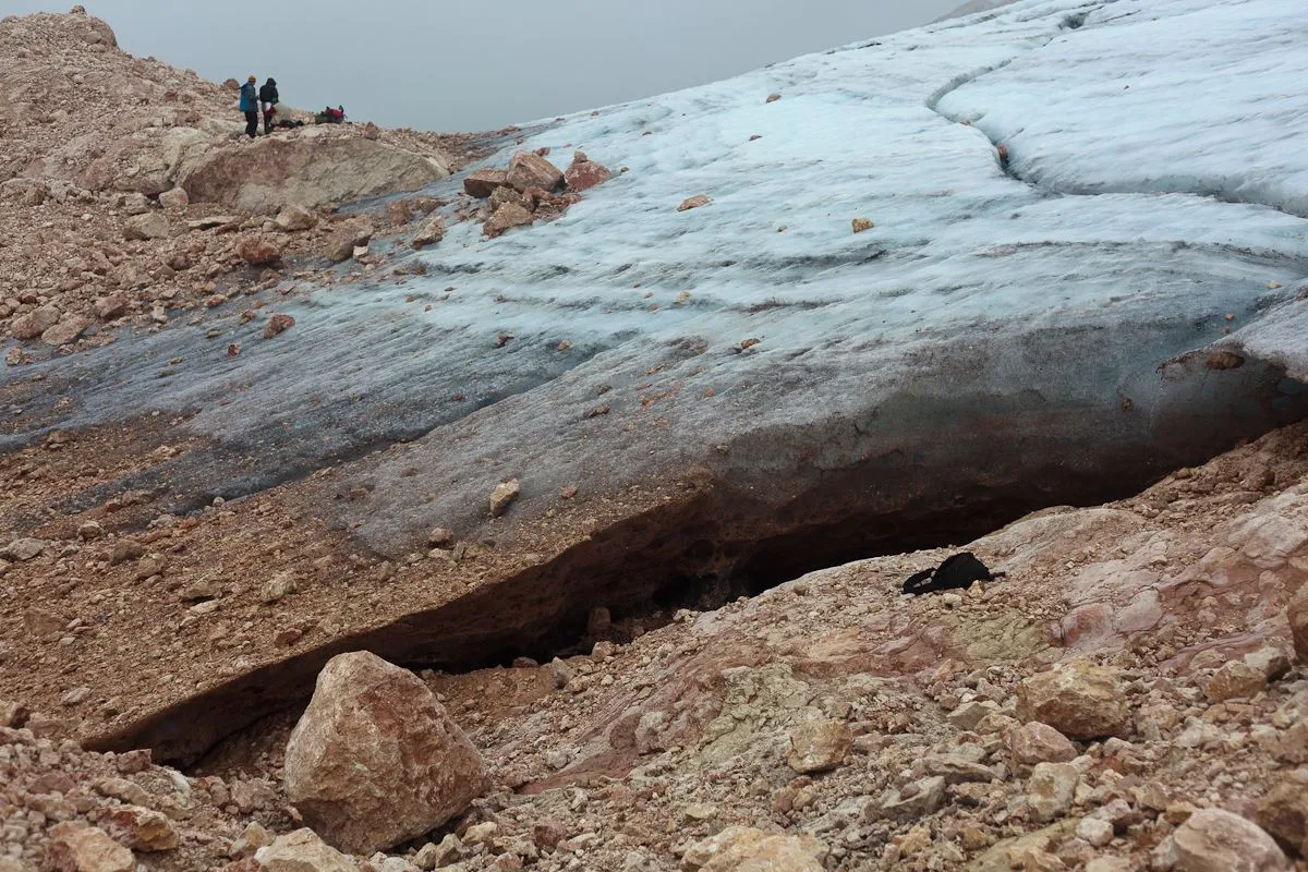
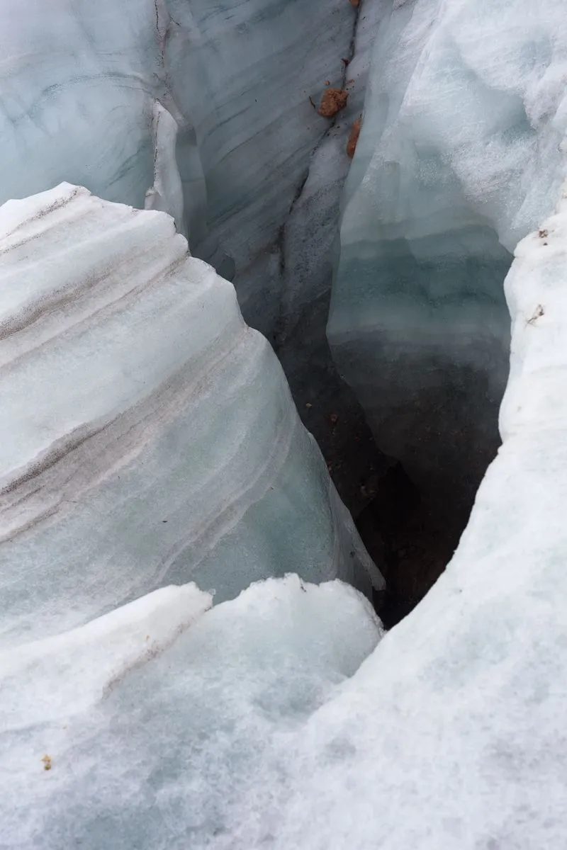
We went to the edge of the glacier near the rocks, you can see the failure under it. I wouldn't want to fall there. And the glacier itself is full of dips and cracks. So far, we are walking along the edge, approaching the place where the glacier is most convenient to cross.
 |  |
|---|
Here you can see part of the path from the shelter, which we passed.
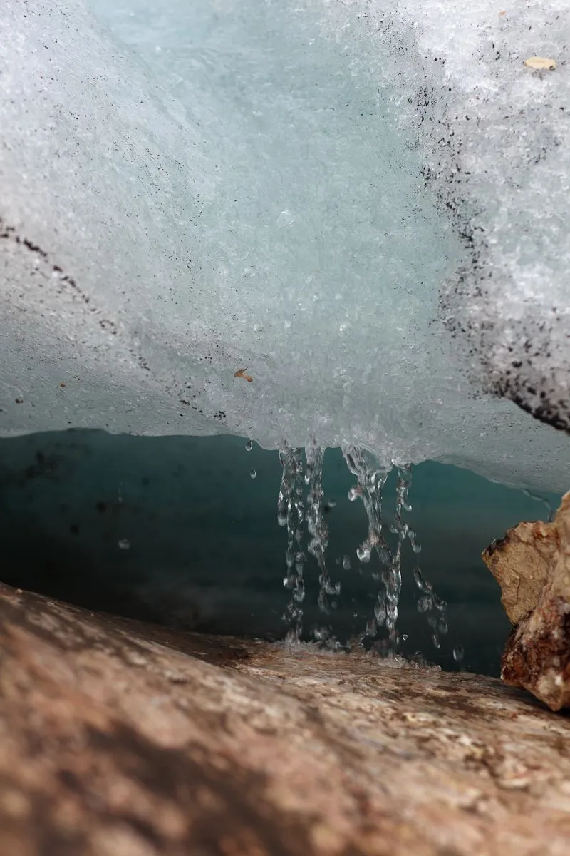
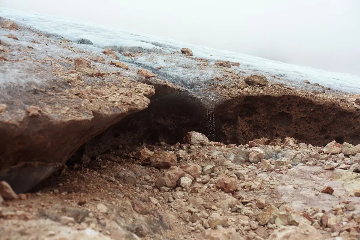
Melt water flows from the glacier. I'm very thirsty, but it does not quench my thirst completely — there are very few salts and minerals.
 |  |
|---|---|
 |  |
Shells are found everywhere, up to the very top. My mother, the guide, told me that a shark's jaw was found right at the top one day.
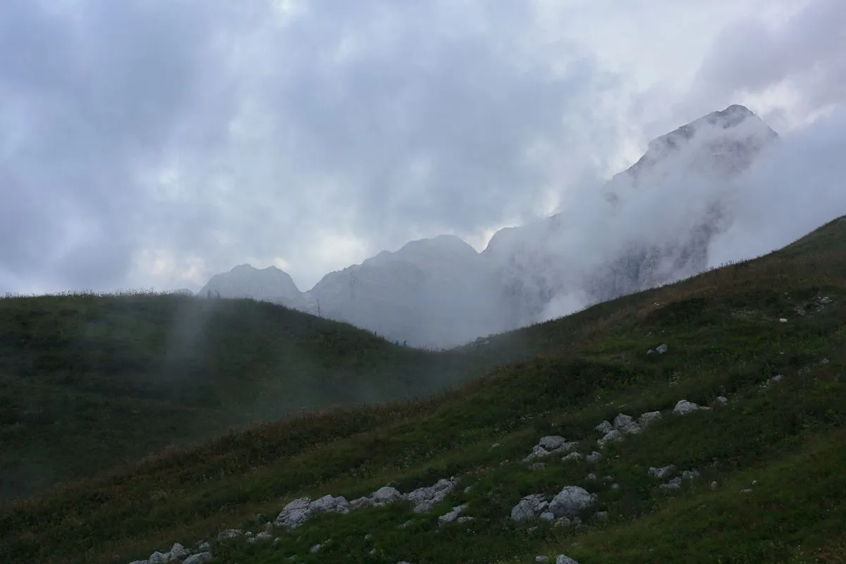
While we were climbing, the weather deteriorated badly — the last windows of the blue sky were covered with clouds.
We went there not too prepared in terms of equipment: we had no ropes for belaying, no harnesses, and most importantly, no crampons. Our first attempts to set foot on the glacier were very uncertain. Our feet slipped, and we already thought that we would not be able to go through it, but there was no other way to the top from there. It must be said that this was a big mistake in preparation, because we knew that we would have to cross the glacier, besides, it was not horizontal, but with a slope. But we thought that, since its width is small, about a kilometer, this will not stop us. However, even this kilometer (although, most likely, less) must be crossed somehow.
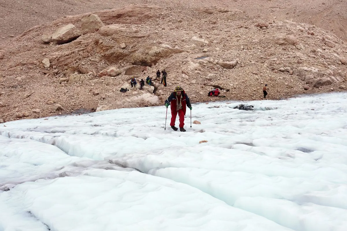
As we sat and thought, we saw a group descending from above, who were as unprepared as we were. Among them was even a girl in ordinary sneakers! Seeing this, we decided that everything was not so scary, and tried to go to the glacier again, and realized that we could walk normally. That's great, we'll do it!
 |  |
|---|
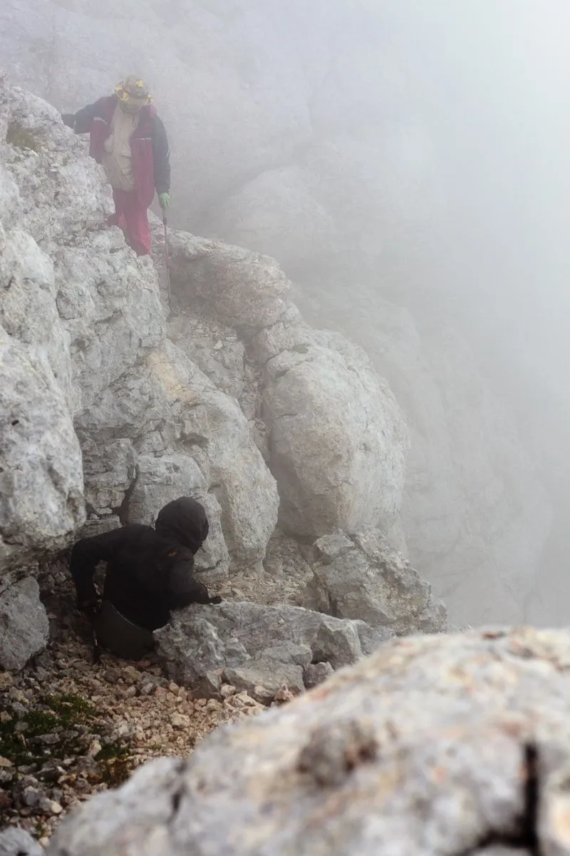
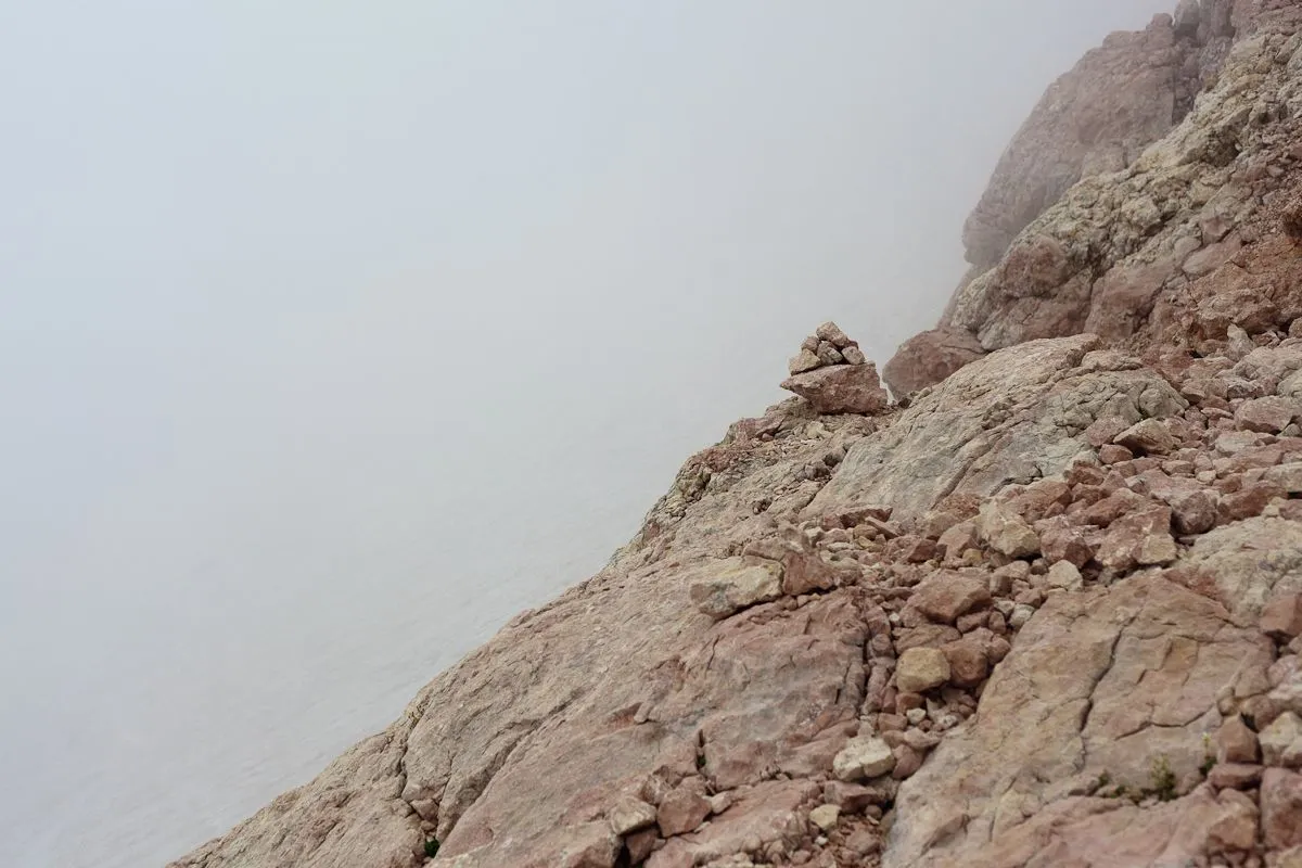
After the glacier, the path to the top goes along the edge of the cliff. Visibility is poor, all around is a solid white haze.
 |  |
|---|
But we are rising, we are already at the finish line! I am very pleased with this.
 |  |
|---|
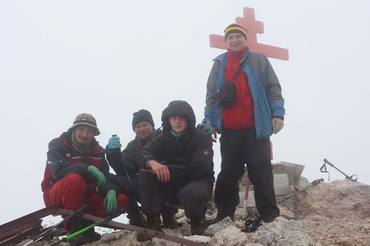
And finally... We made it to the top, hooray! Of course, we are not alone there, but there are not so many people, only 7-8 besides us.
 |  |
|---|
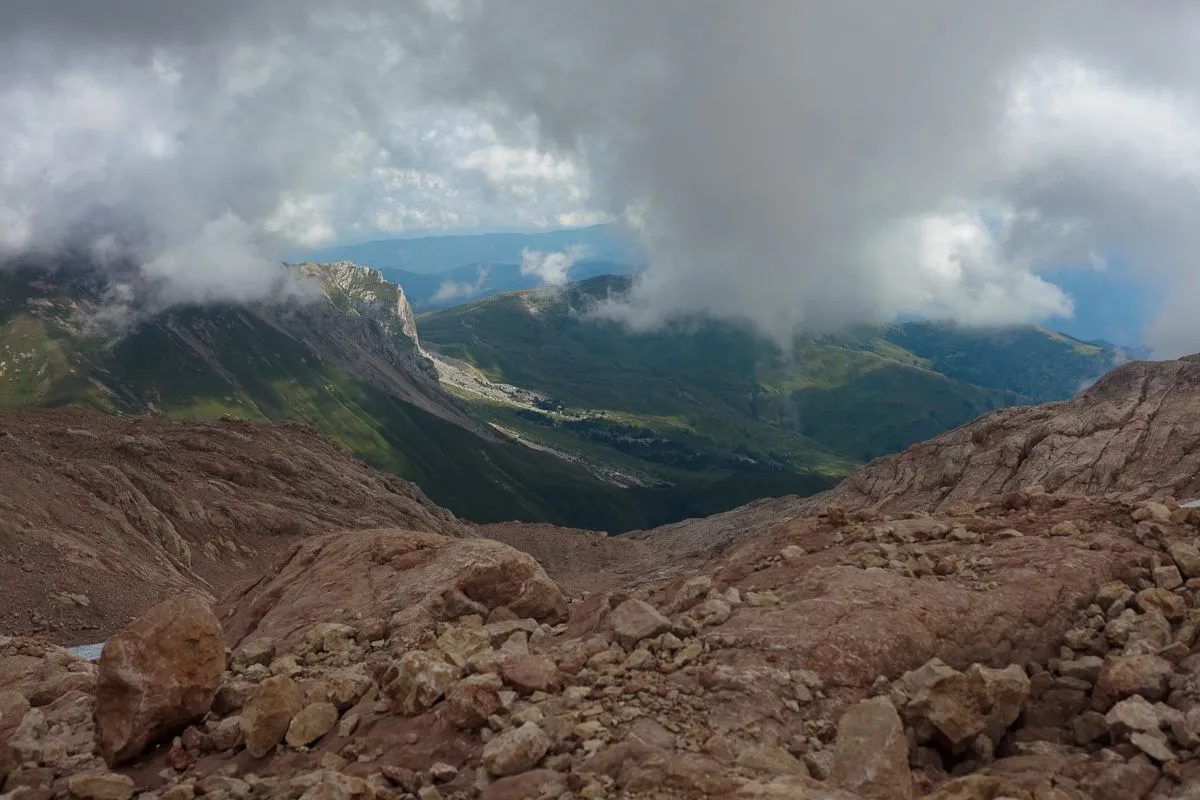
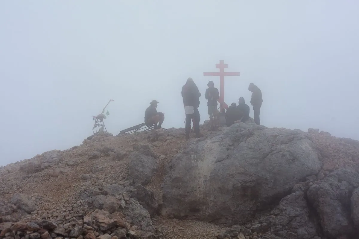
It is a pity that there are clouds around and nothing is visible around. We made a halt in the hope that the weather would change and the clouds would go away. After waiting for half an hour and seeing that nothing had changed, we decided to descend.
Having reached the beginning of the glacier, we realized that we did not know where to go! In fog and clouds the path along the glacier was very poorly visible. It was clear that we need to go down, but there is no clear road and no traces are visible. In addition, we forgot to turn on the navigator when we climbed up, which would show us the route that we took. Another mistake.
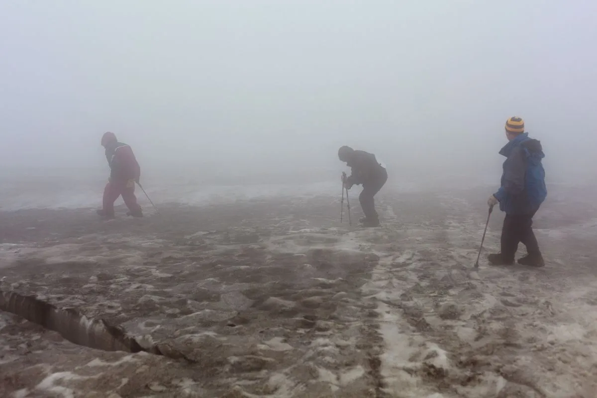
The big problem was that there were cracks and dips in the glacier and we would really need to follow the same route that we climbed. On both sides, the glacier breaks down, and on the one hand it is quite steep.
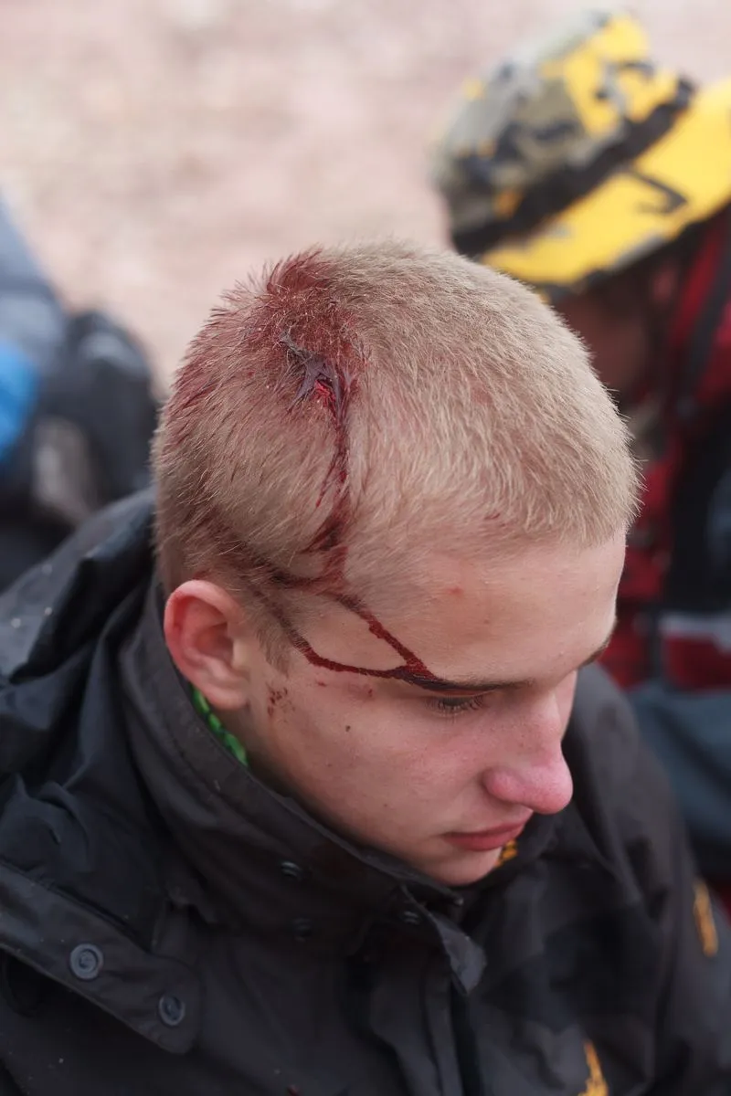
As it turned out a little later, we went much to the left than we had to, and the angle of the glacier increased, and its structure changed, it became more slippery than in the place where we climbed. Because of this, something happened that I am still afraid to remember: one of our group fell off the slope of the glacier and flew down into the fog. I was far closing the chain, but Peter was next to him and immediately rushed after him, sliding down the slope, but at the same time slowing down his descent with trekking poles. And Peter also disappeared from our sight. This is one of the most terrible sights in my life — when a person below suddenly breaks down and rolls down, disappearing beyond the border of the fog. And immediately after him the second man disappears.
After a while, Peter reported on the radio that everything was fine and they got to the end of the glacier and went out onto the rocks. We carefully descended from the glacier a little further away and reached them. It turned out that our friend, who fell, hit his head and received a small wound and a concussion. Fortunately, nothing more serious happened to him, we treated the wound and bandaged his head.
 |  |
|---|
Then we descended very carefully and for a long time. It was already getting dark, and we were still high.
One of the most difficult moments was the descent of the rocks on a fixed rope. Since we had no belay device or spare rope, we could only hope that our friend would be able to descend on his own. Fortunately, everything went well.

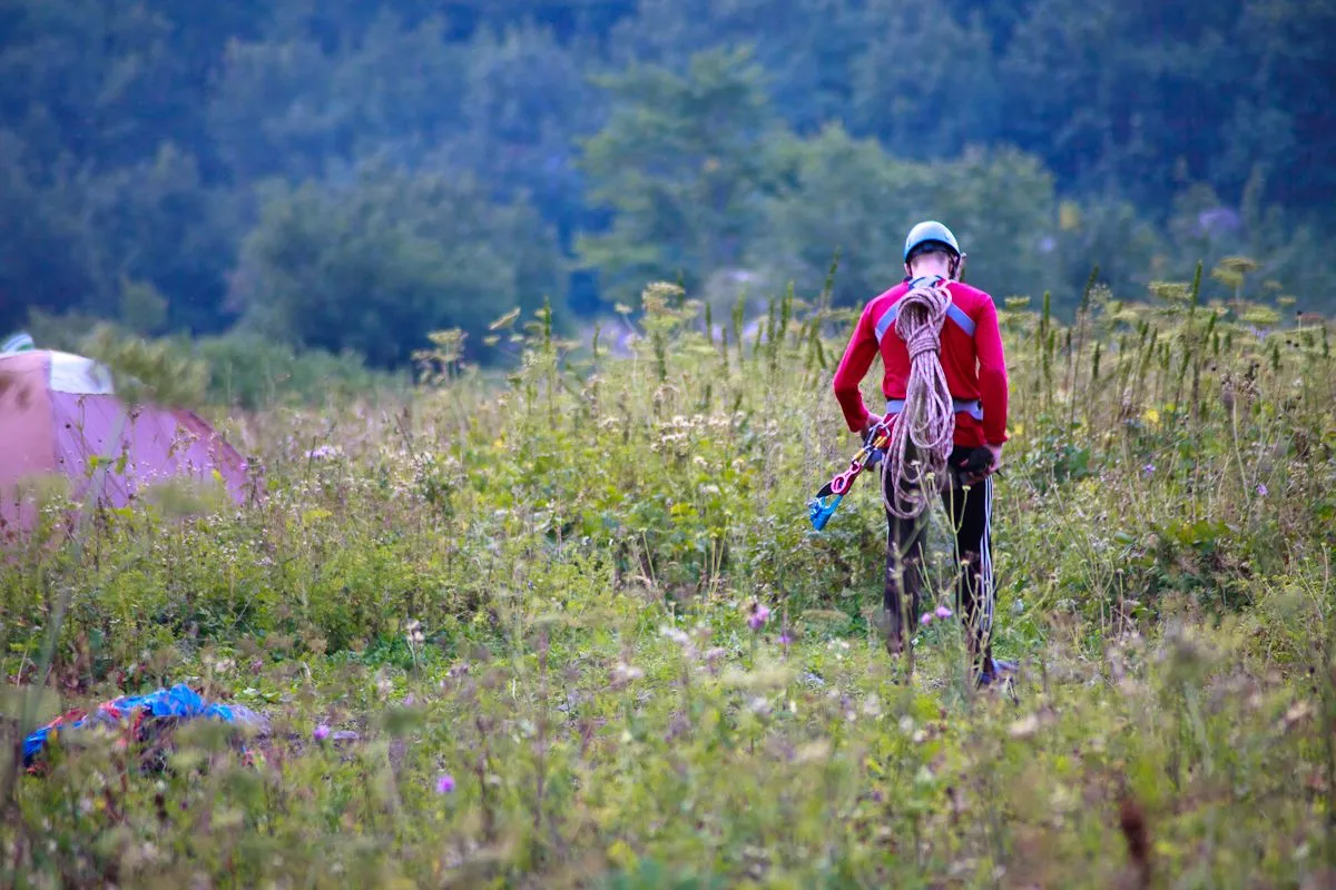
We reached our camp in the Fisht shelter almost in total darkness. And the next day we saw what prepared mountain tourists look like when they go to the same mountain. The helmet, and the ropes, and the harness, and the crampons — everything is with him. Perhaps he was a real climber, there are places on the mountain where they can train, and then he needs all these things even more than we do.
That was my first serious mountain hike 10 years ago. I am very glad that even the accident did not have serious consequences, because everything could have ended much worse. Mountains are not to be taken lightly! Don't do it. Since then, I have always been careful about preparation (including the necessary equipment) if I go to the mountains.
Camera:Canon EOS 5D Mark II
Yes, by the way - I was just beginning to seriously get involved in photography. And this camera was my first own. So the photos and processing are far from ideal, but still dear to me as a memory :)
You can also see my photos in my blog LJ and in my profile on NatGeo. You can read a short interview with me here.