The winds are the true artists in nature, as they constantly change their paintings.
I so wish that I could paint but have accepted that it's not to be.
Should I have been able to paint, I would have a canvas and brushes here to capture the sights as it was a beautiful afternoon. Always so uplifting for one's spirit to be out here.
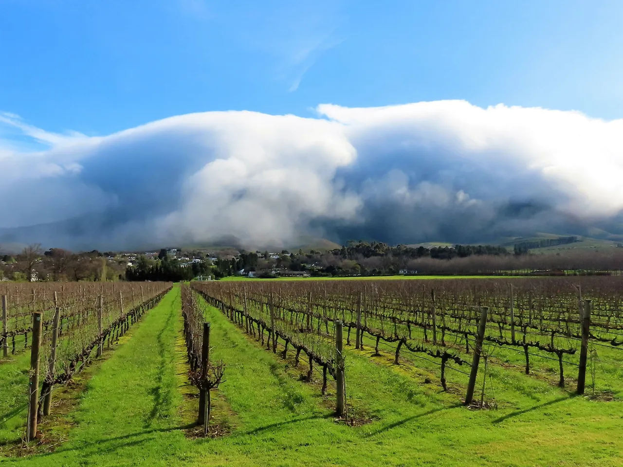
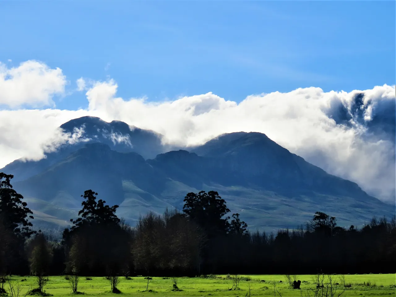
I have concentrated this post on the Helderberg mountain and you can see more here in the source.
Helderberg refers to a planning district of the City of Cape Town metropolitan municipality, the mountain after which it is named, a wine-producing area in the Western Cape province of South Africa, or a small census area in Somerset West.
Originally known as the "Hottentots-Holland" area, it was renamed "Helderberg" by the City of Cape Town following concerns about possible racist connotations in the name (see Hottentot). However, many people who live there still refer to it by its former name.
The Helderberg consists of Somerset West, Strand, Gordons Bay and a few other towns. The district takes its name from the mountain of the same name, which is Afrikaans for "clear mountain", referring to the way in which the western side of the mountain is illuminated in the evenings,and which culminates at a height of 1137 m at The Dome.
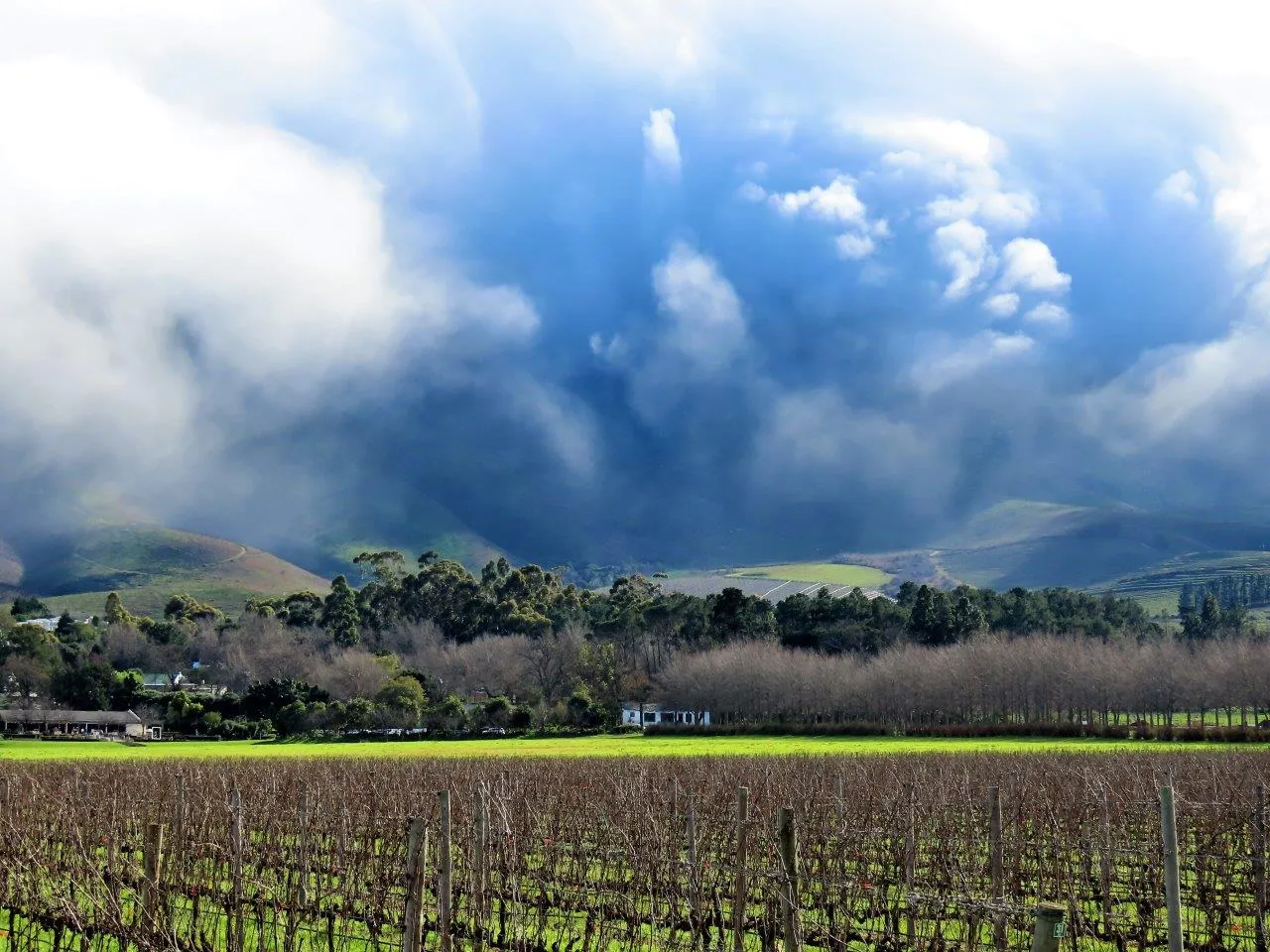
This vineyard nestling below the Helderberg mountain is situated on the Lourensford Wine Estate. We are in the winelands here with many other wine farms in the area and most of them also cater to visitors and tourists.
Most are historical farms that still have the original old Cape style architecture of the farmhouses on show. And they also have wine tasting centers and restaurants for visitors.
There is also a wide variety of activities available for hikers and adventure seekers and it's also a photographers paradise.
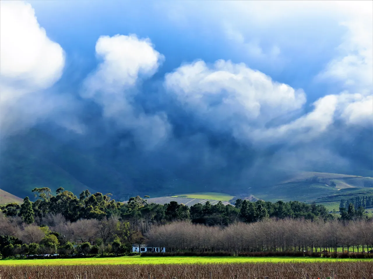
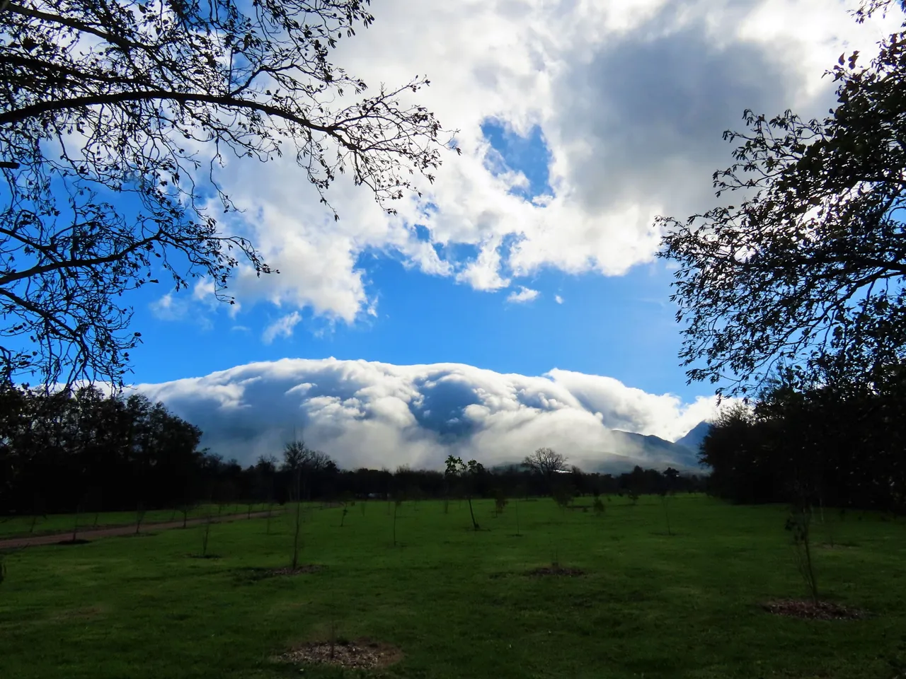
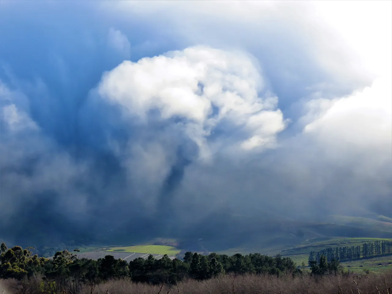
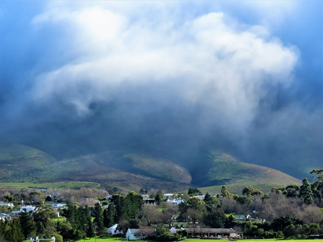
The two pictures below are of a smaller mountain that links the Helderberg mountain to the start of the Hottentots-Holland mountain range.
Here is a description of the Hottentots-Holland mountain range, that I also feature in many of my posts.
Hottentots Holland Mountains and Sir Lowry's Pass
The Hottentots Holland Mountains are part of the Cape Fold Belt. The range forms a barrier between the Cape Town metropolitan area and the southern Overberg coast. The range is primarily composed of Table Mountain Sandstone, and forms a large range between the Cape Town outlying suburbs of Somerset West and Gordon's Bay to the west, and the large Elgin valley to the east. Sir Lowry's Pass is the only crossing, in the form of the N2 motorway, which is the primary route out of the Cape Town area for travellers heading east along the coast of South Africa.
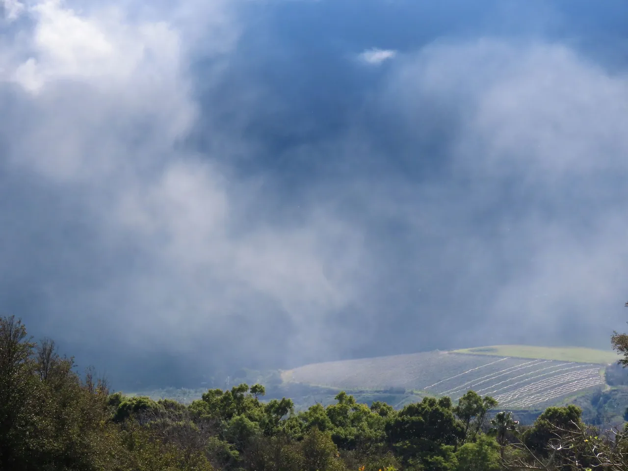
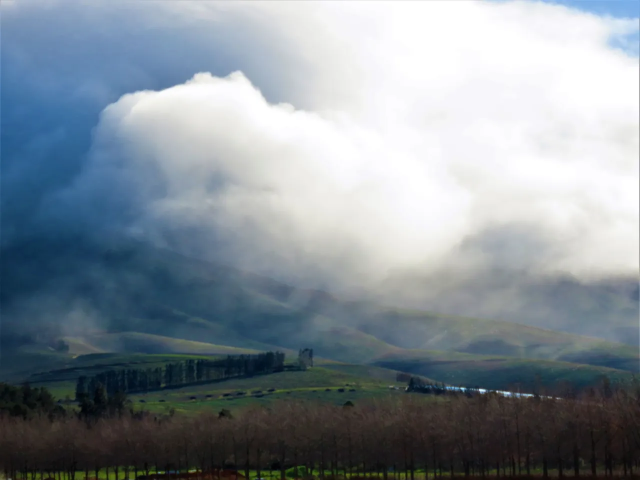
Finally, this is a closer look of the mountain at the right-hand side of the picture above.
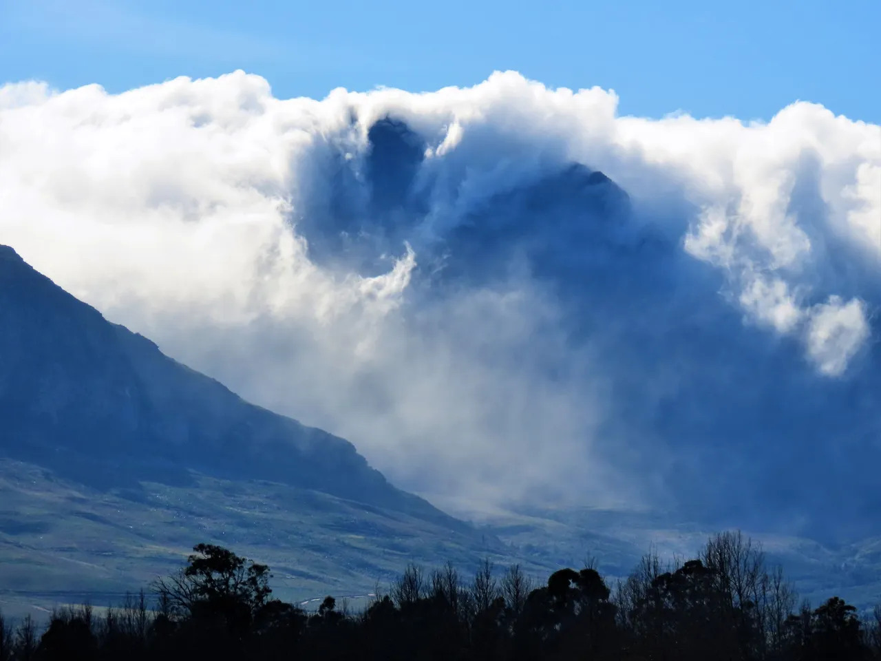
I think that you will agree with me that the clouds really made for some lovely pictures. And the other bonus is that one constantly has birdsong to accompany the beautiful scenes. An ideal way to come out into nature and to rid oneself from all the stresses, even if it's just for a few hours. I always feel rejuvenated after taking photos of the magnificence and power of nature. There is so much to see and so little time that I will never get everything on camera in this lifetime, but rest assured that I will get as much as I can.
Never a dull moment and no time to sit and tob (mope), as too much to see and to do. We have also had the Mandela remembrance day recently, and we were very active with Papillon to commemorate the day. I will soon do a new report about our activities at Papillon, and hope that you will like it.
I hope that you have enjoyed the pictures and the story.
And That's All Friends.
Photos by Zac Smith - All Rights Reserved.
Thank you kindly for supporting a post on behalf of @papilloncharity