Hello friends, welcome to my blog where I share with you the photographs of my nature and what surrounds me📸🌷.
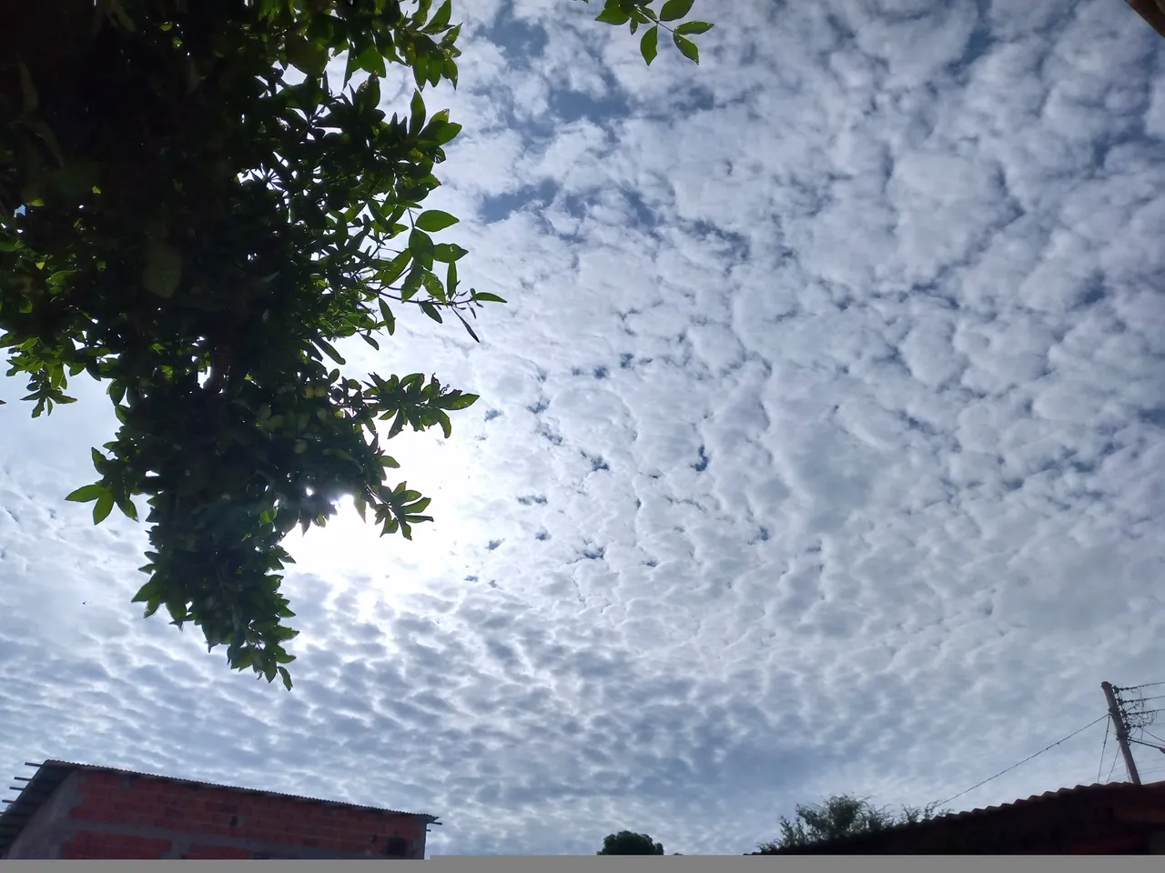
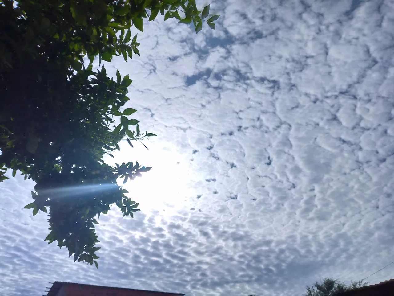
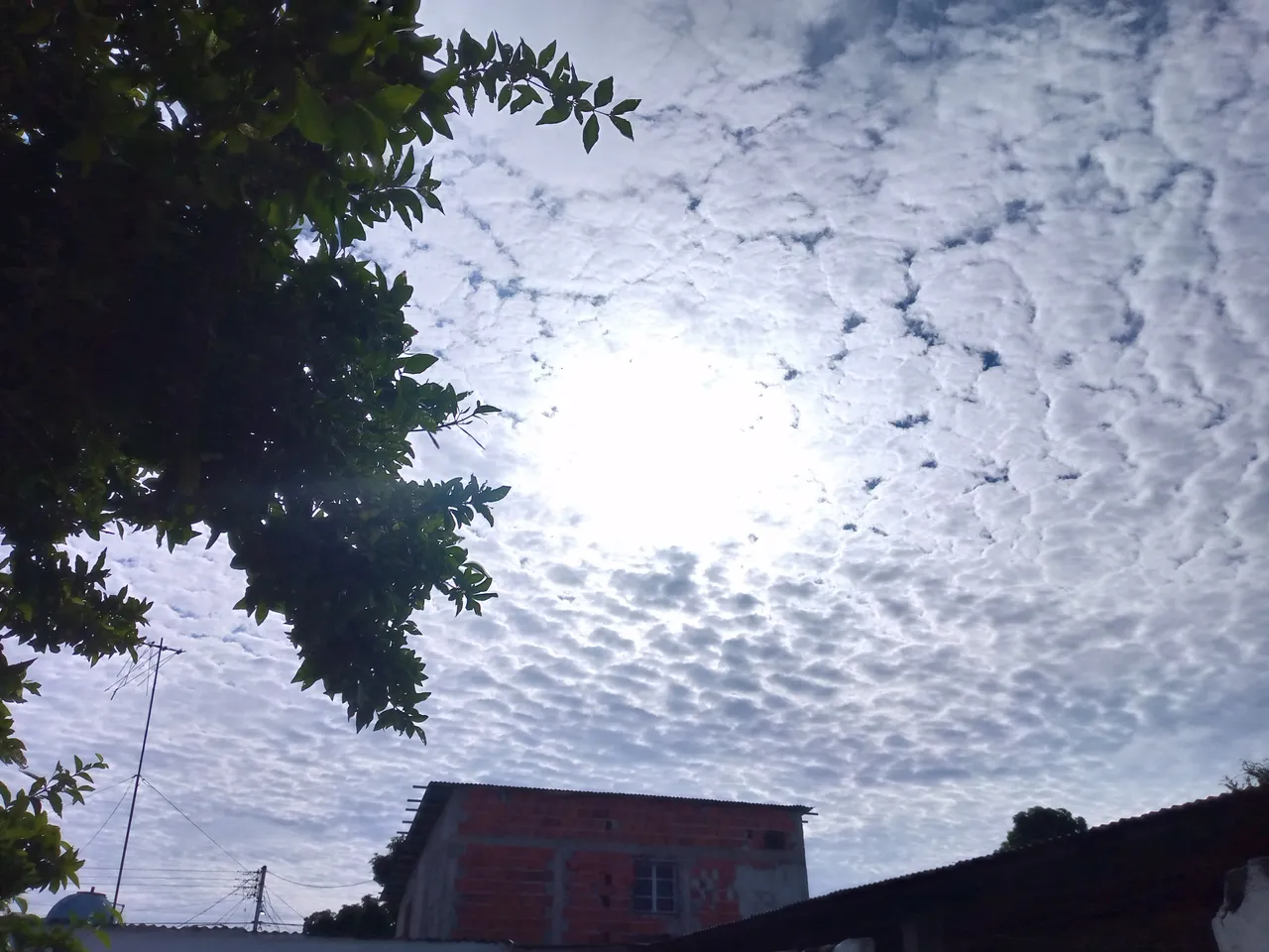
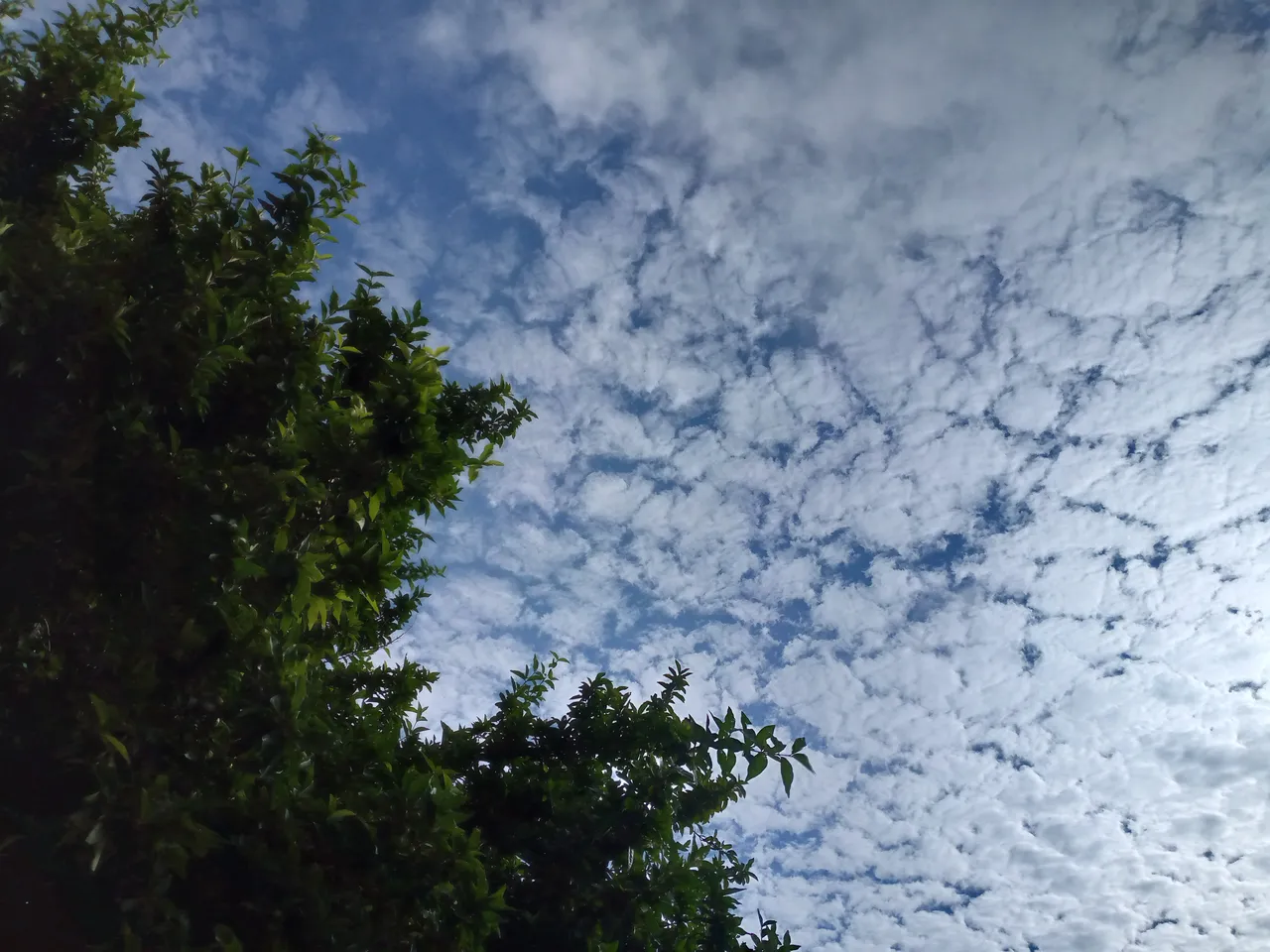
Early in the morning in my city it was a very beautiful day, and it's been a while since I saw these types of clouds form in the sky in the mornings, mostly I always saw them in the afternoon, but it caught my attention and I wanted to do a little research on the name of these types of clouds that form as a sequence one after the other, researching on Google I could see that they are known as cirrocumulus, these have the shape of feathers formed by ice particles high in the sky and they indicate the weather well according to what I was reading there.
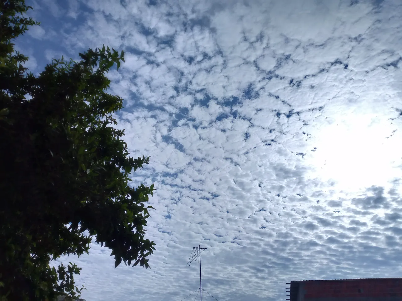
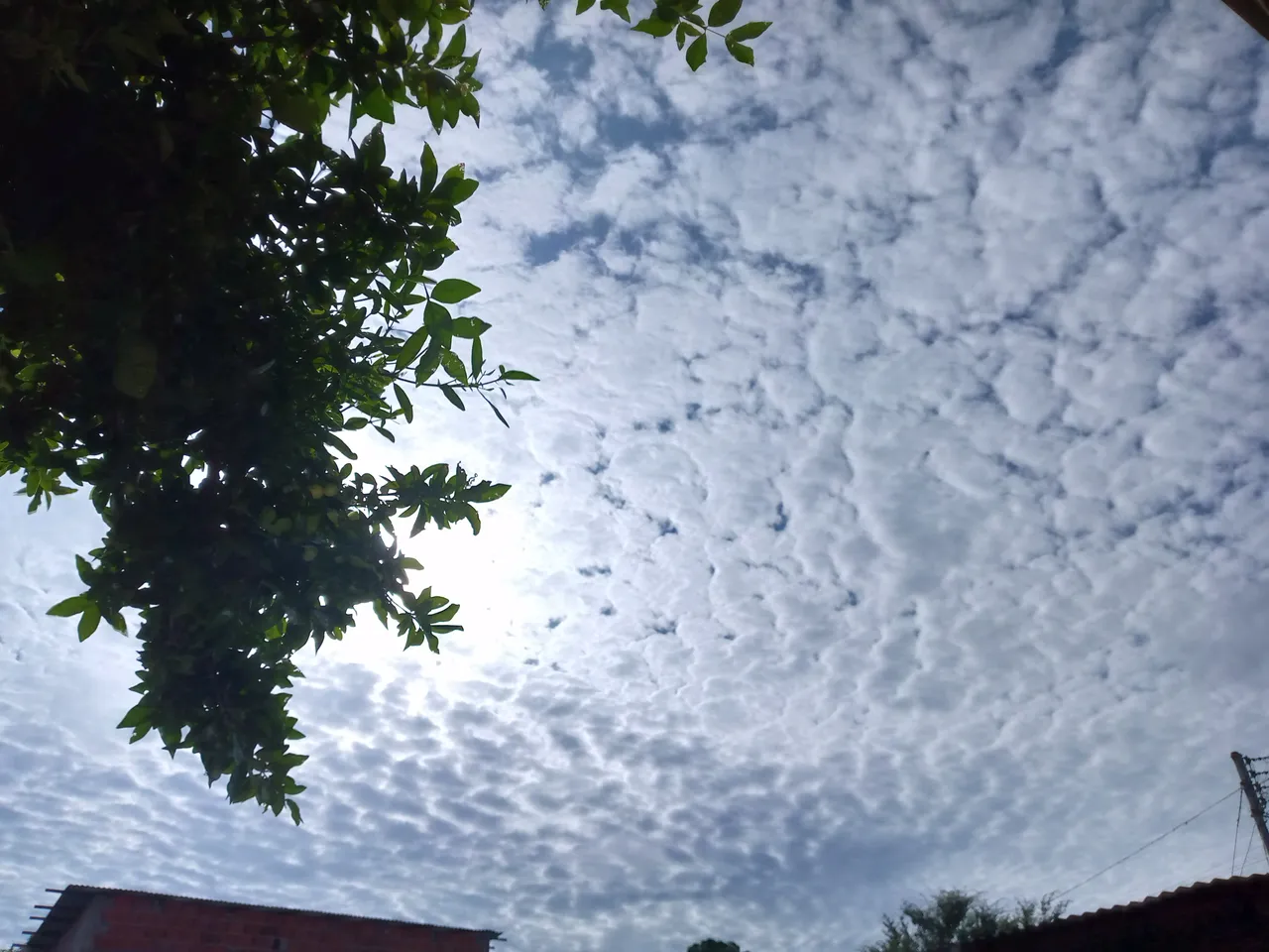
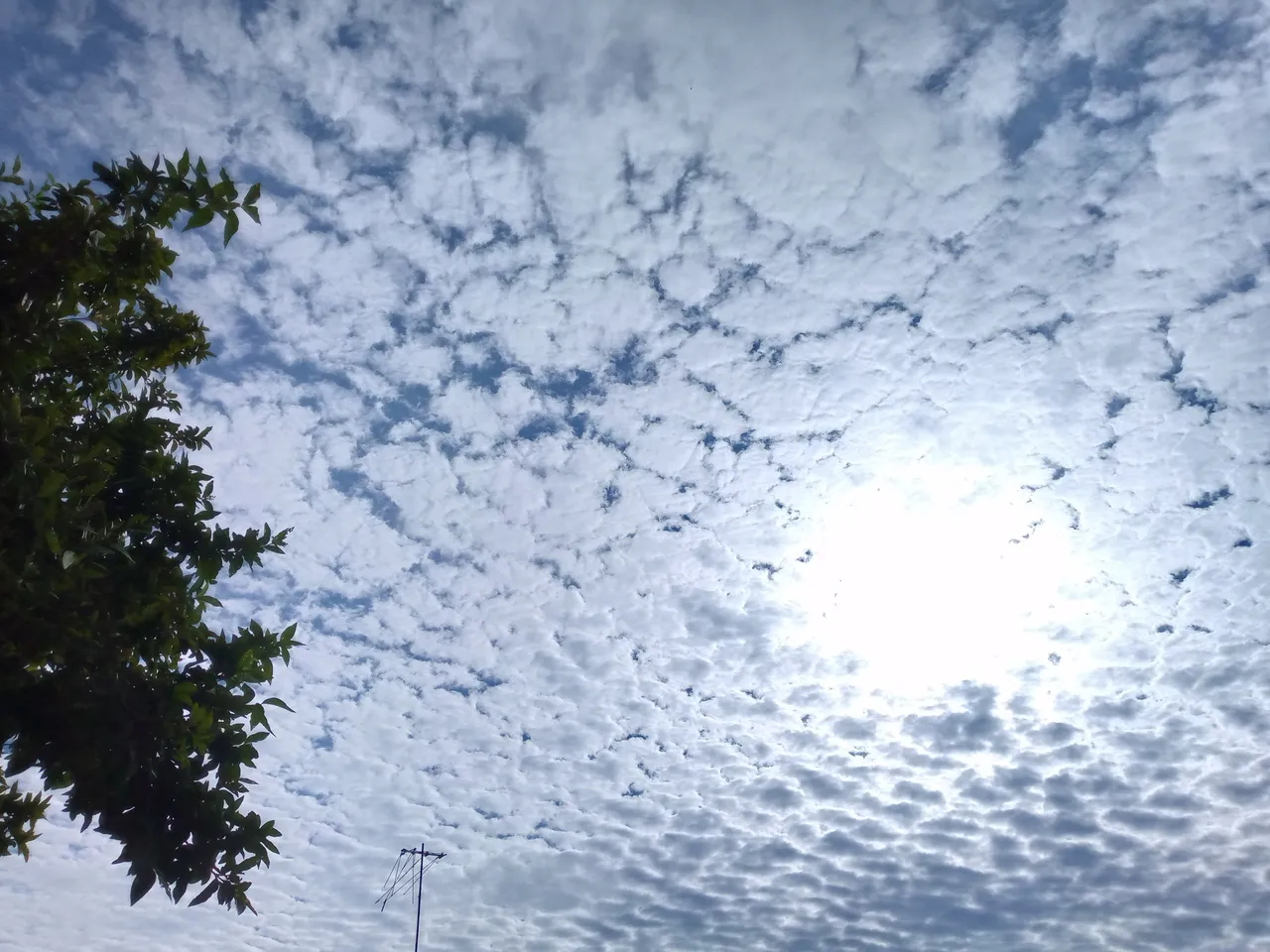
These types of cloud formations do not produce precipitation, but on such occasions they announce the proximity of a disturbance or the passage of a rain front. They can also occur, especially in summer, associated with the proximity of the subtropical jet.
Cirrocumulus clouds are found in the upper layers of the sky and form horizontally. They also occur between 6 and 12 km in altitude. They form from cirrus or cirrostratus clouds when they are gently heated from below. This heating process causes the air to rise and move into the cloud. This is why cirrocumulus is almost always associated with cirrus and cirrostratus clouds. If this is not the case, then the cloud is an altocumulus.
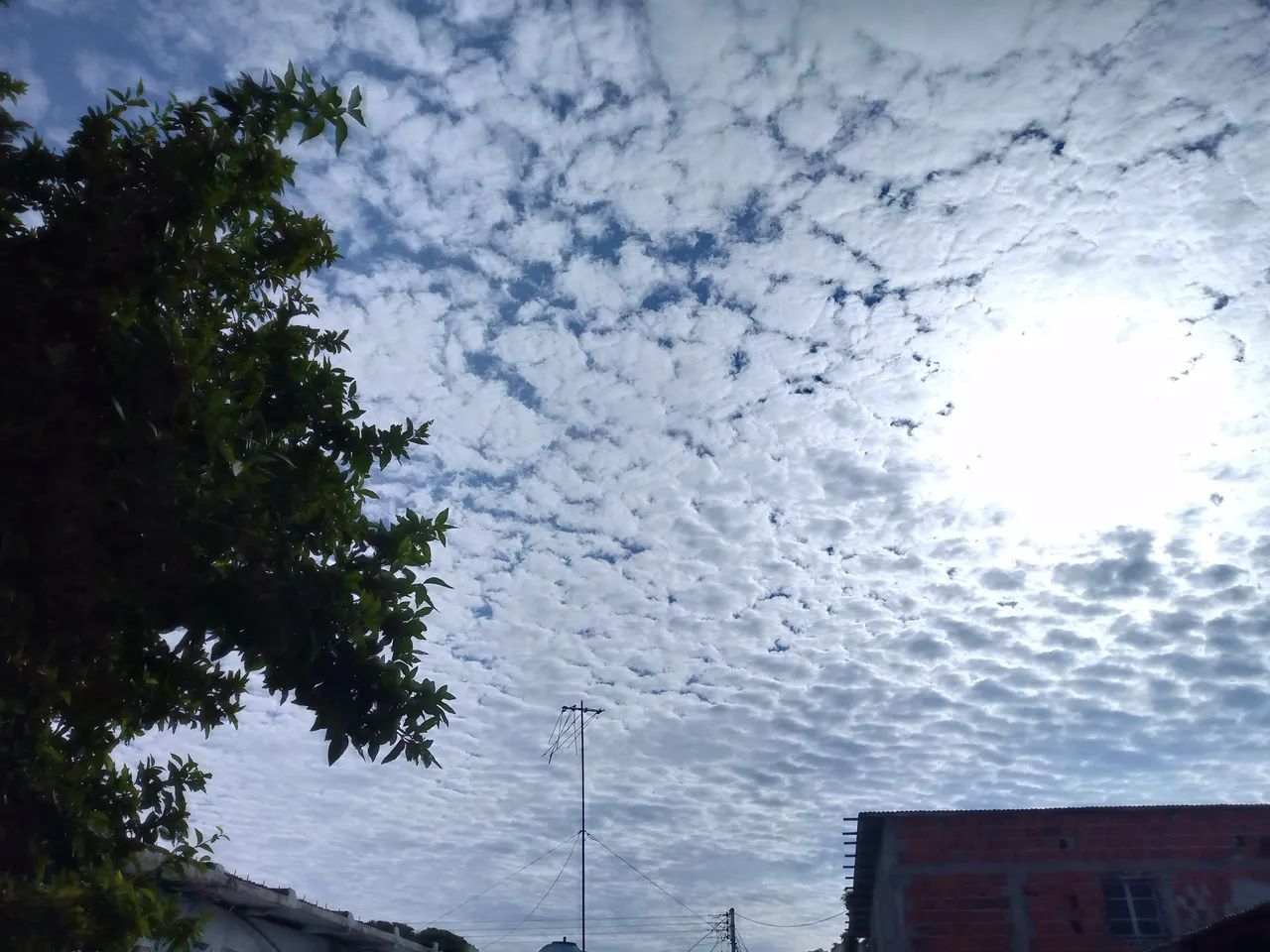
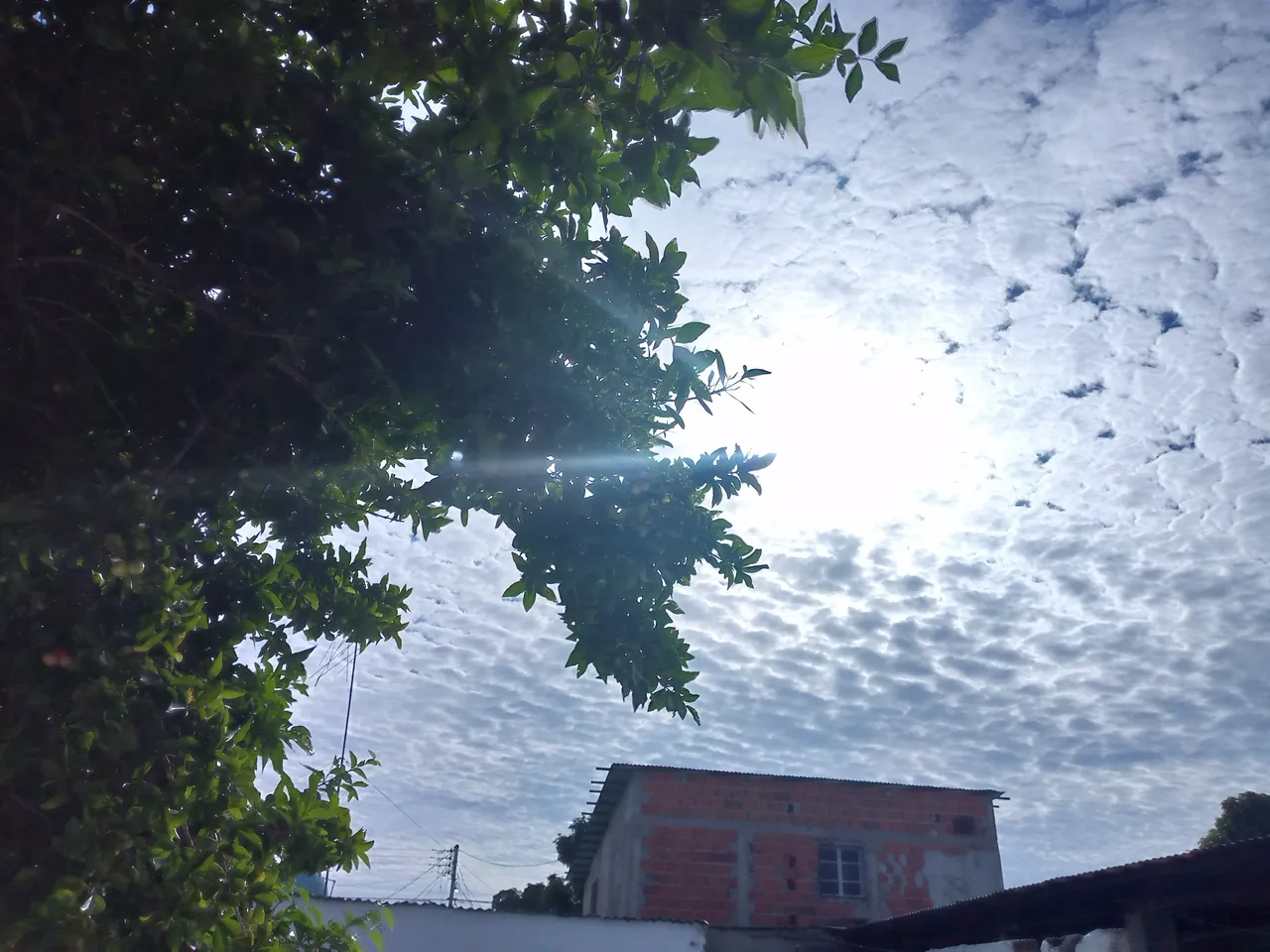
Without a doubt these clouds have caught my attention since almost half the sky was covered with them. How wonderful it is to be able to enjoy the beautiful creation that God offers us for our sight and our delight. I really like observing nature and moments like this I really enjoy observing it and capturing beautiful photographs like these. If you liked it, don't hesitate to share it. See you later.
