
The Cityscape of Lhokseumawe aerial view. A small city on the northern coast of the Island of Sumatra, located on the shores of the Malacca Strait. The land is separated from the mainland of Sumatra Island by a canal where the salty seawater mixes with the freshwater overflow from the hinterland. The canal is known as the Cunda River or the Lhokseumawe River, which has two estuaries.
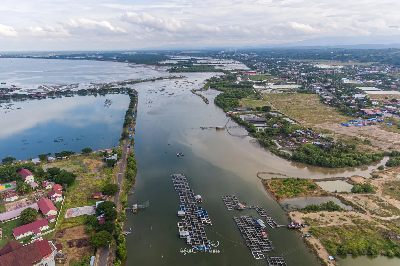
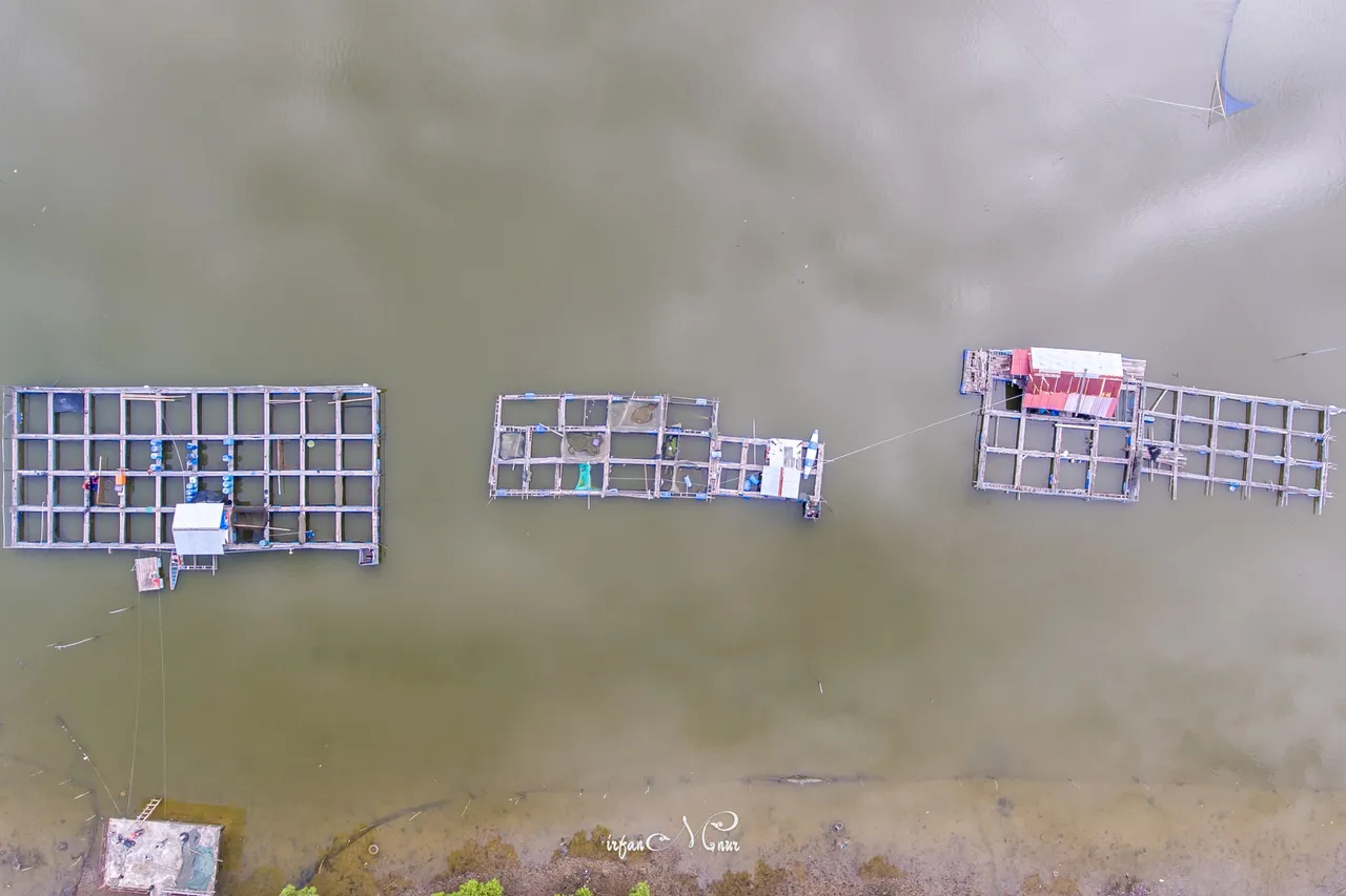
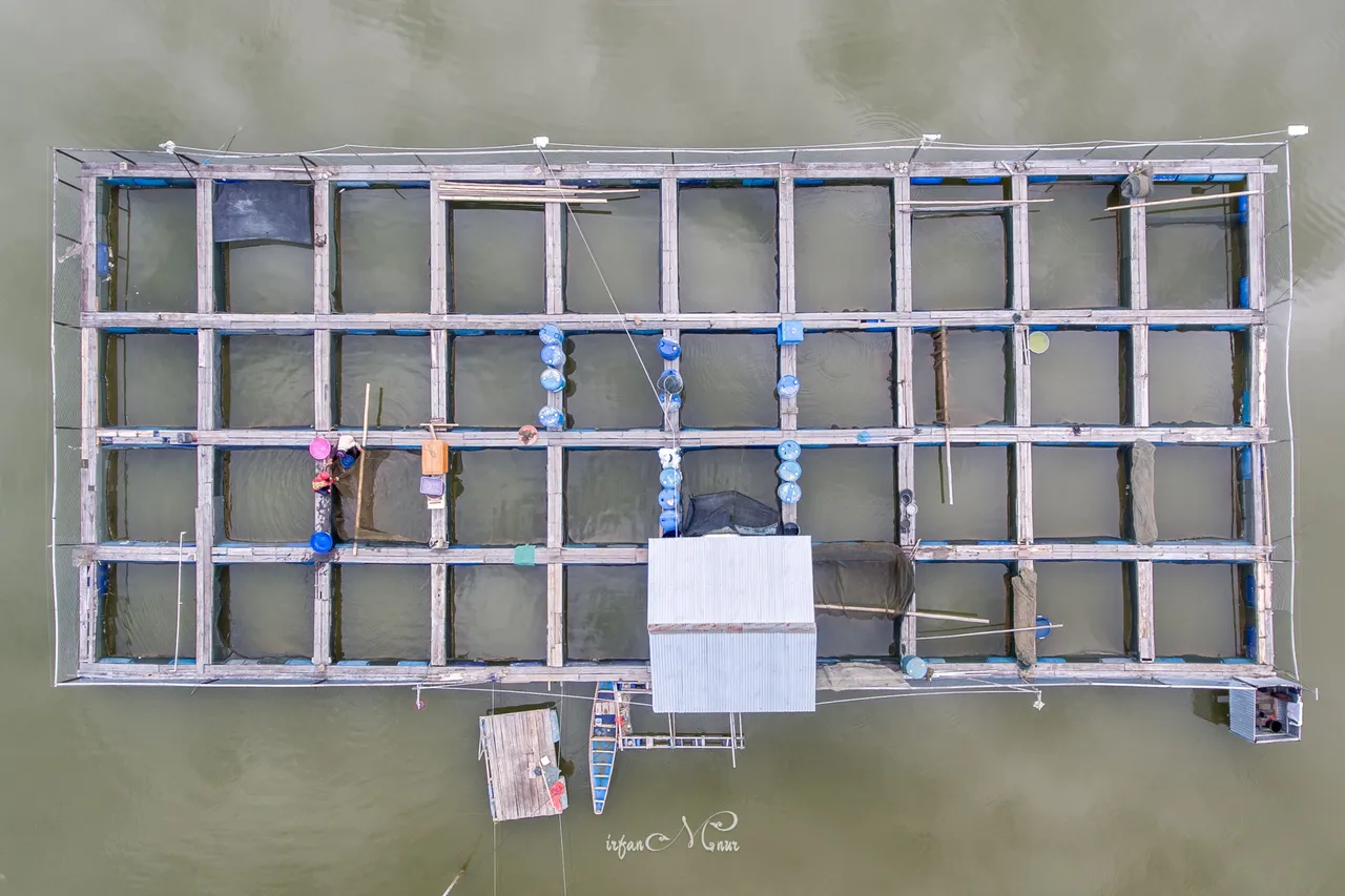
The river flow is utilized by the community for fish cultivation using fish cages. Meanwhile, both of these estuaries, namely Kuwala Mamplam and Pusong, are currently used as fishing ports for local fishermen.
Regarding these two estuaries, I did not get accurate information from the Lhokseumawe elders about the historical stories of the Kuwala Mamplam and Pusong estuaries apart from their use as fishing ports. I can understand their ignorance with stories from 100 years ago or even earlier. In general, we experience disruptions in stories of past history caused by many things, including the Aceh armed conflict that occurred from 1976 to 2005.
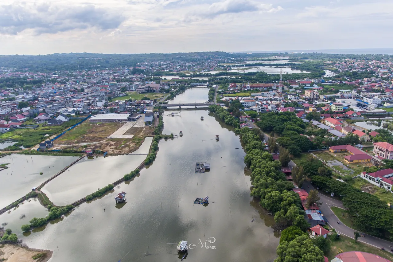
View towards the Kuwala Mamplam estuary
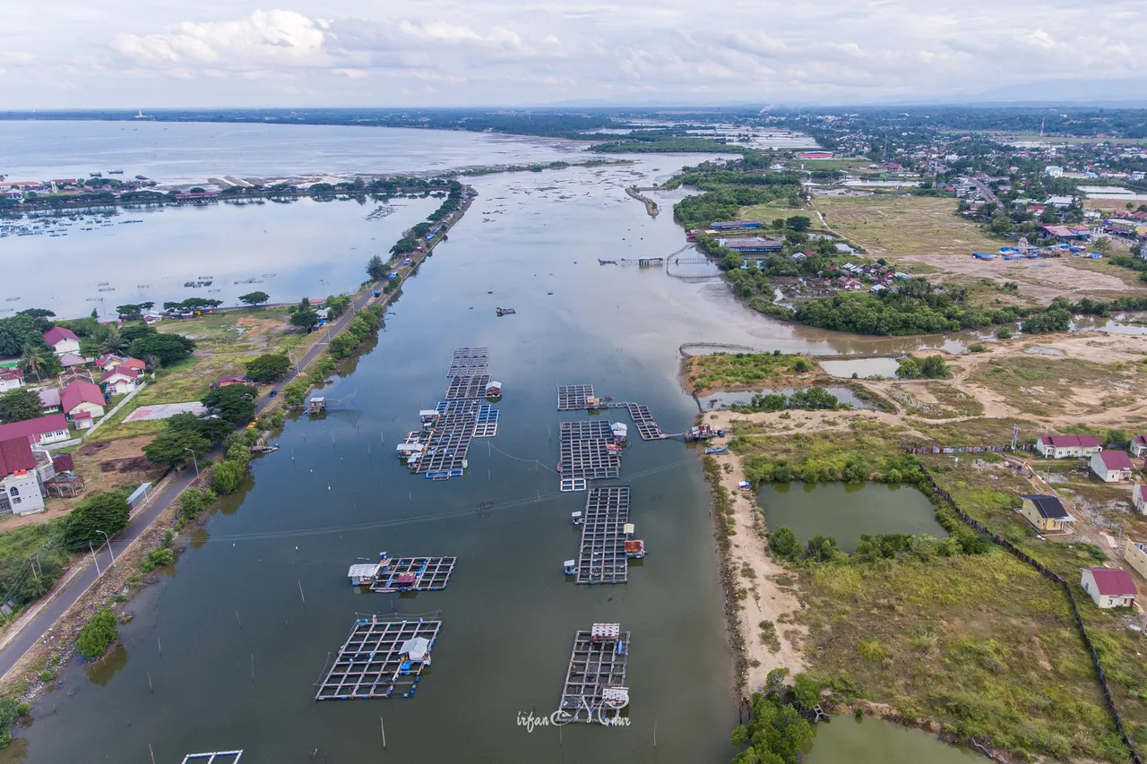
View towards the Pusong estuary
A piece of general information can be obtained from the records of the Dutch East Indies government report which was reported on August 30, 1904, in Dutch about the two estuaries and Lhokseumawe landscape. The document is now freely published in digital version by the Delpher website titled: Mededeelingen betreffende de Atjehsche onderhoorigheden. If you are interested in reading it, here is the link that will direct you to the related page, Lho' Seumawe - Geografische Beschrijving.
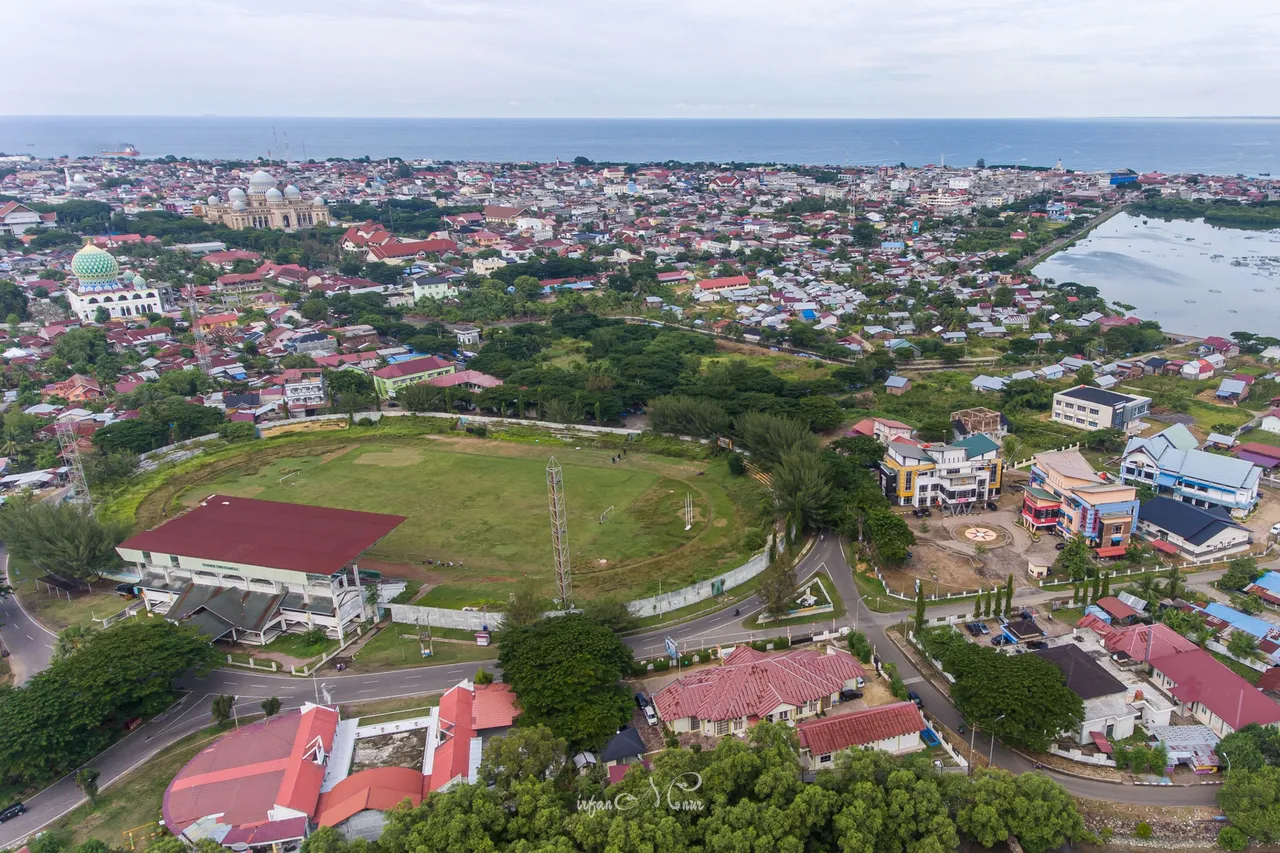
I controlled these aerial view pics using a DJI Phantom 4 drone, which I flew from around the Mon Geudong village football field, Lhokseumawe, Aceh.
Thank You
Irfan M Nur (@vannour)
Acehnese Amateur Historian