[ENG]
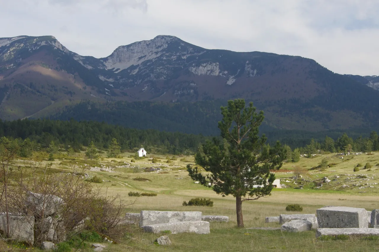
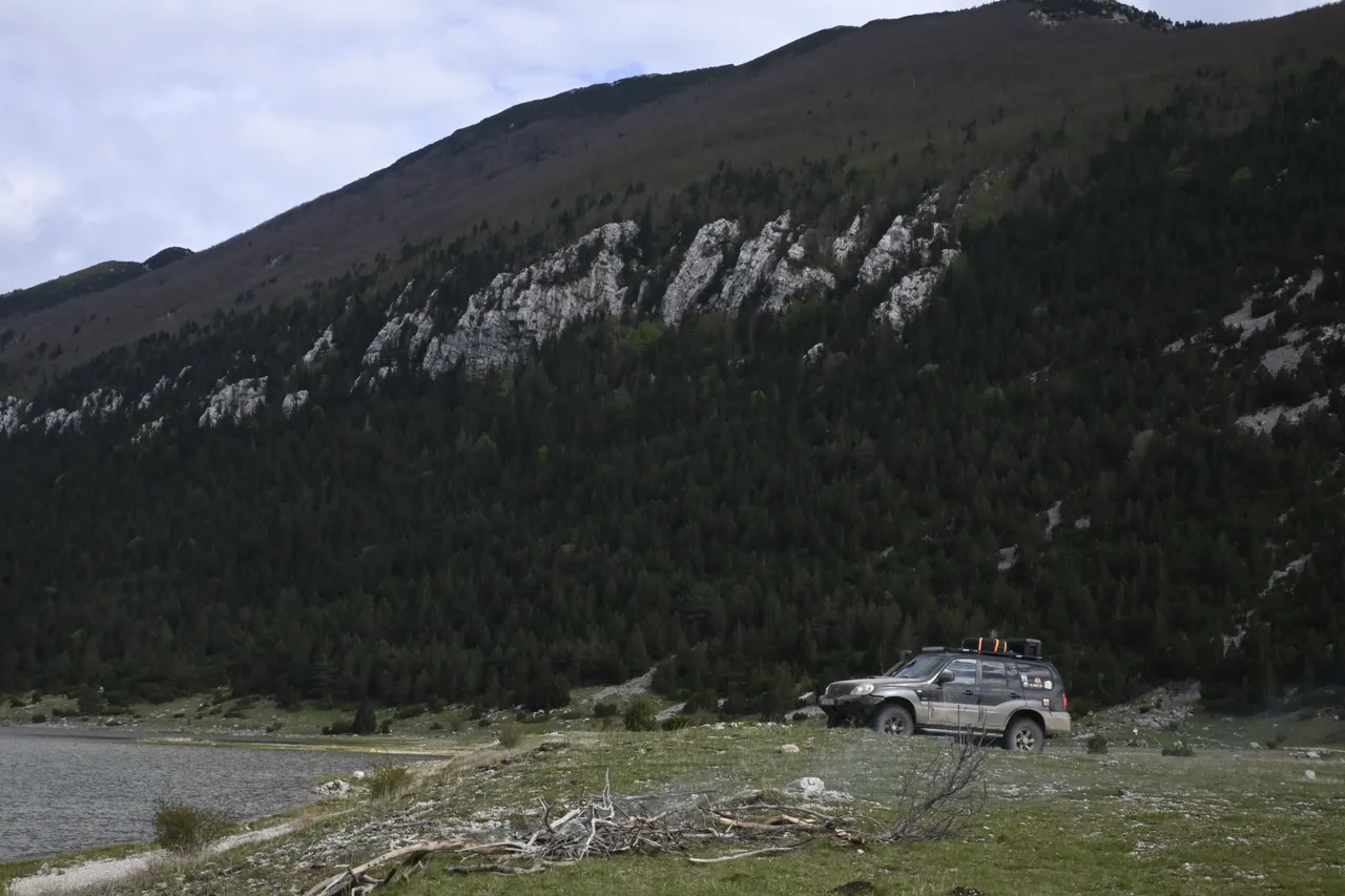
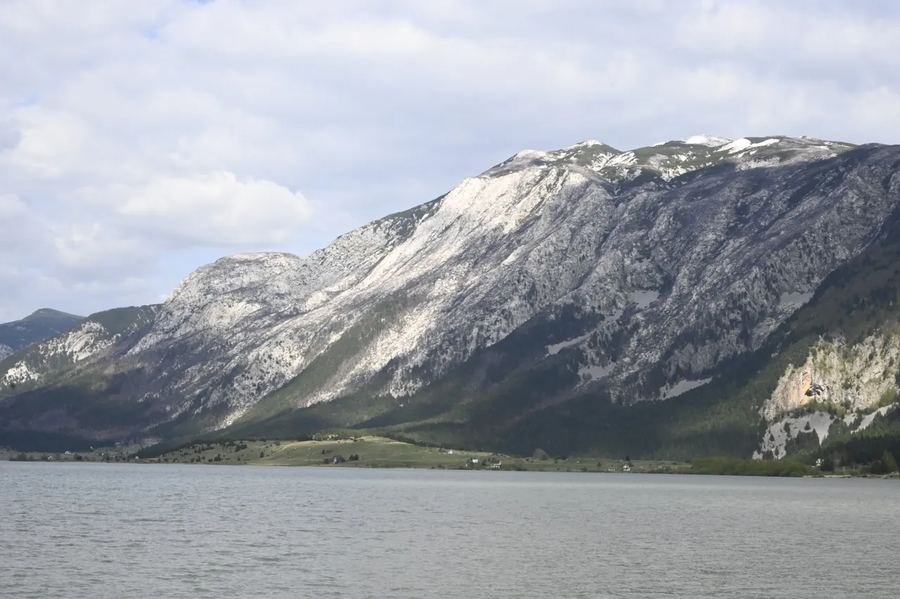
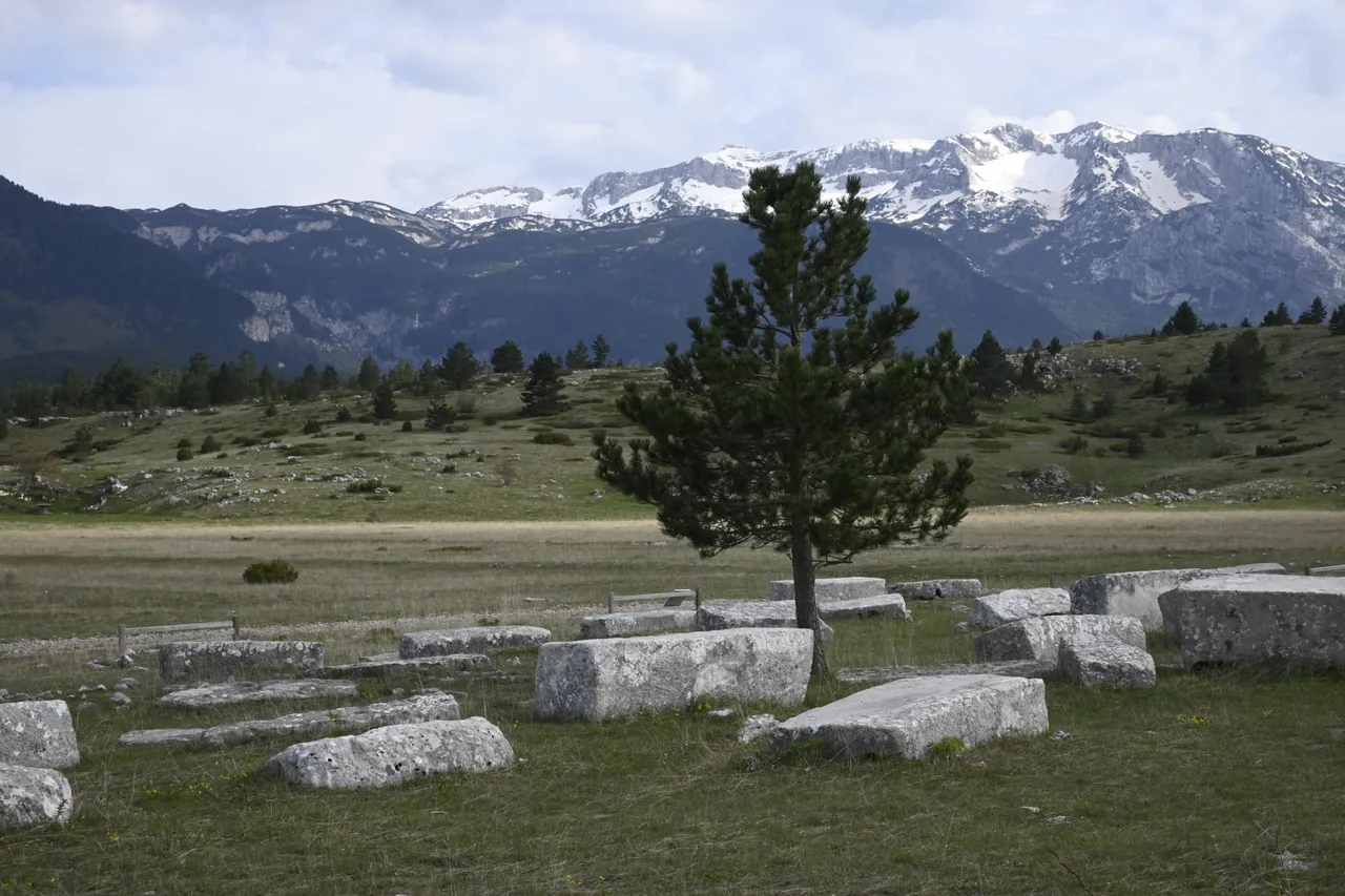
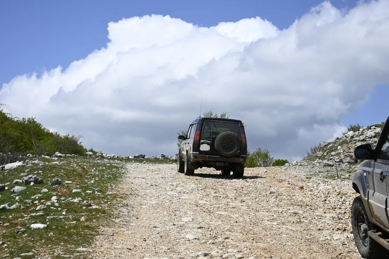
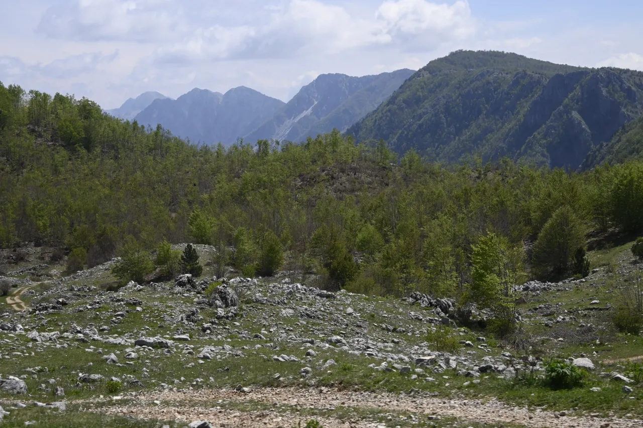
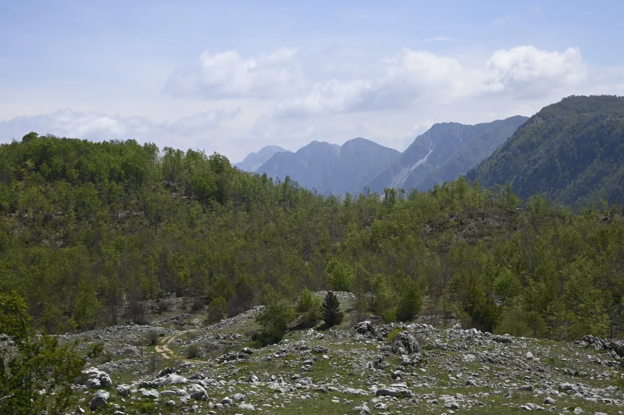
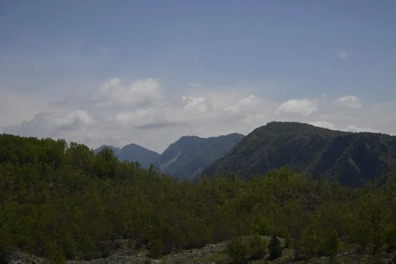
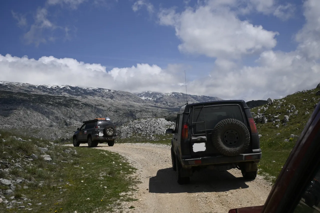
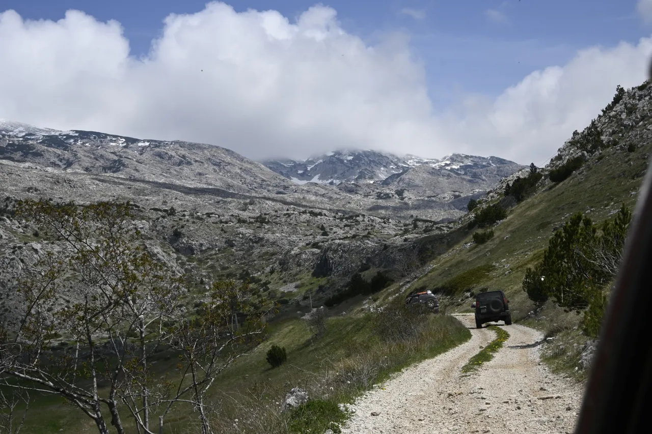
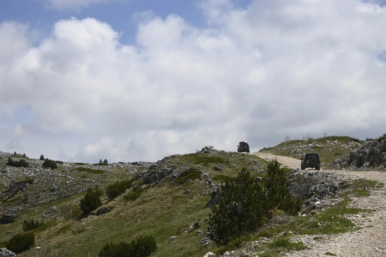
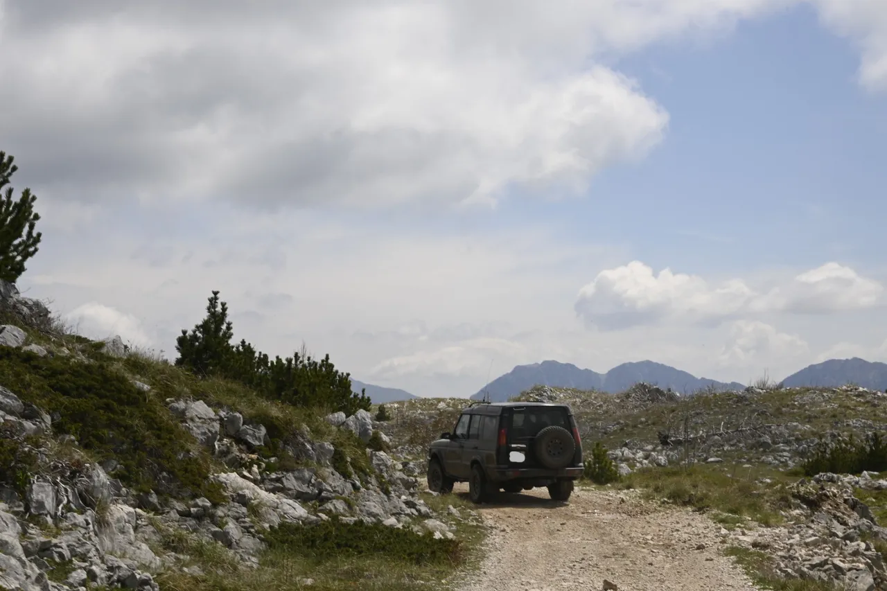
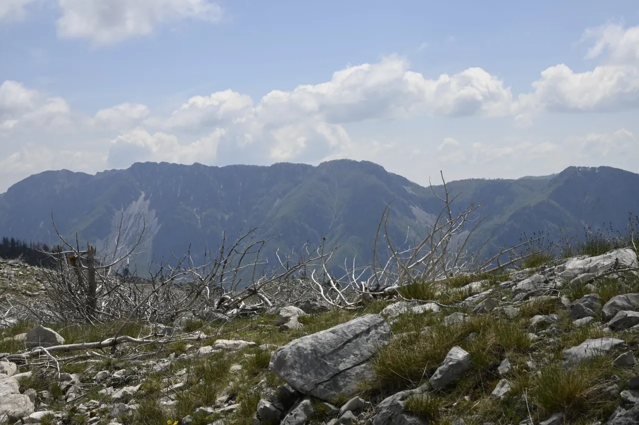
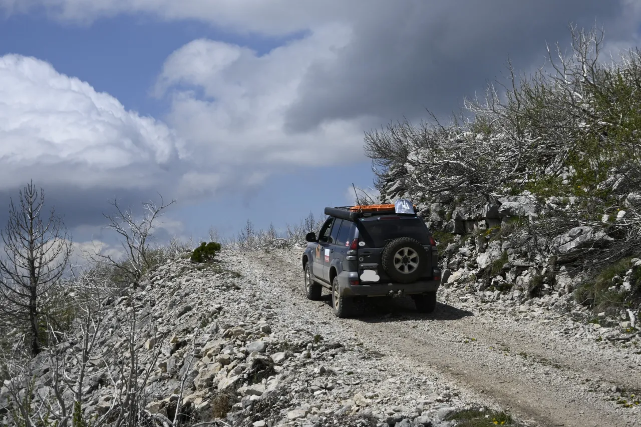
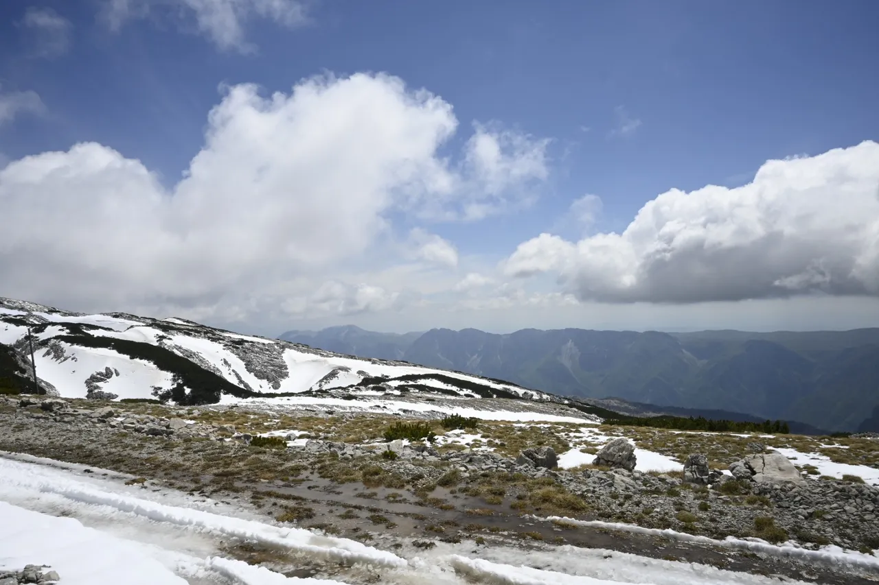
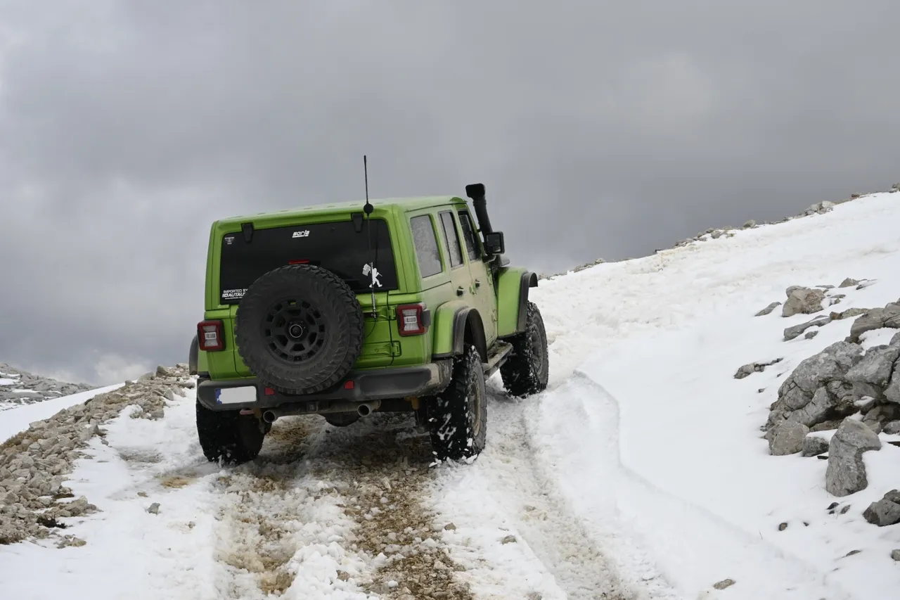
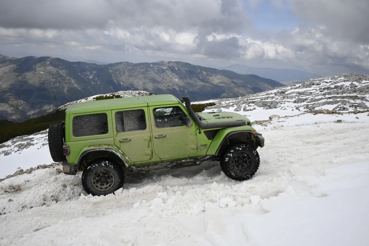
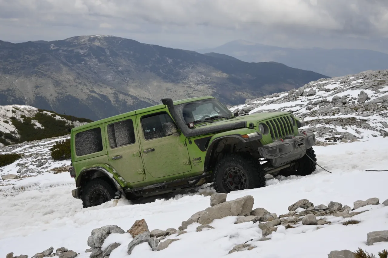
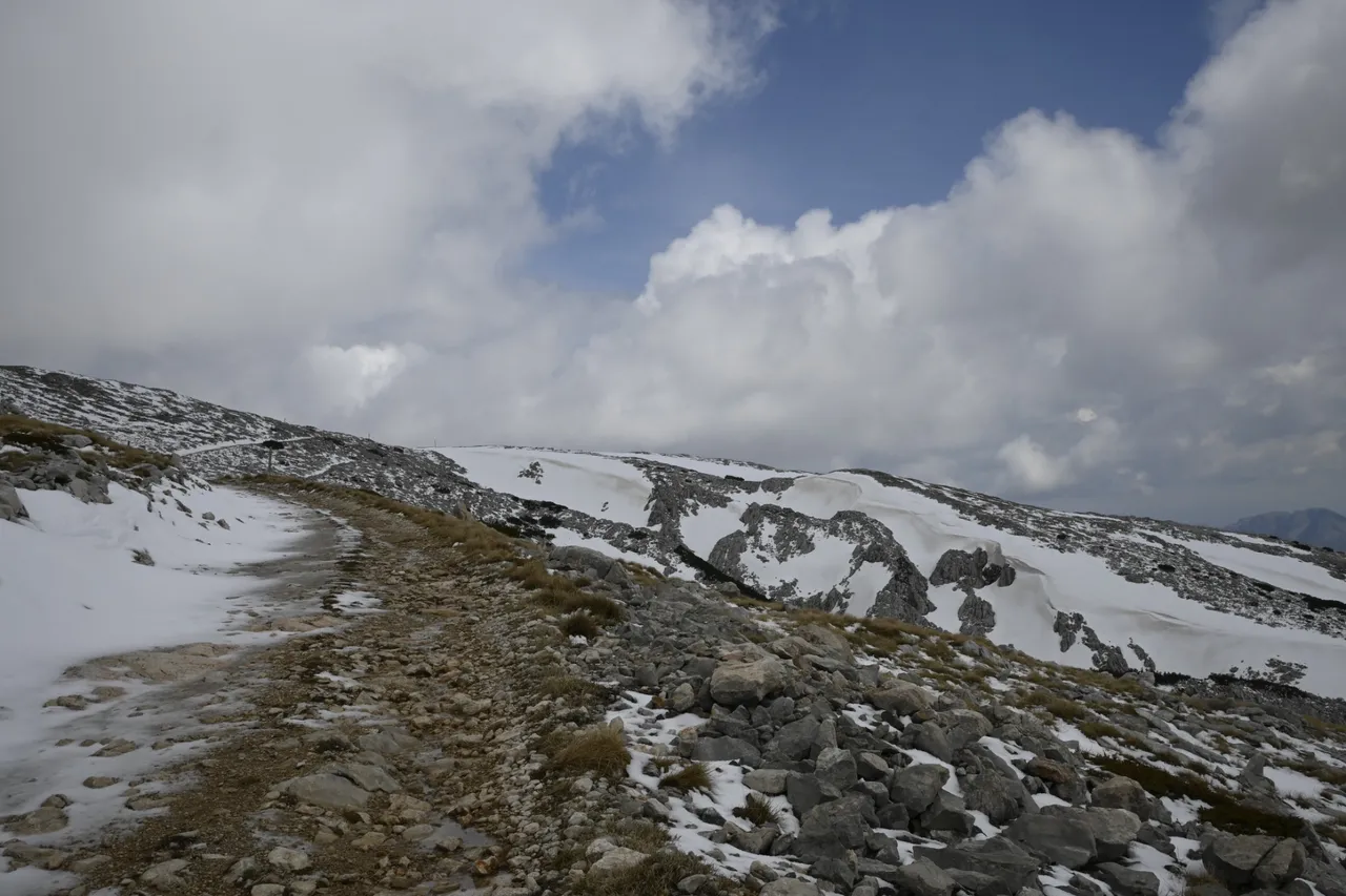
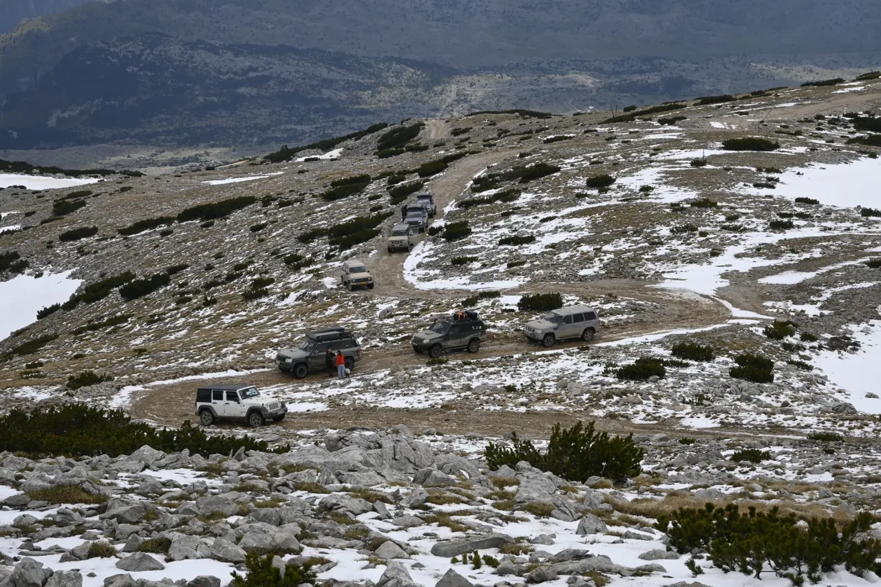
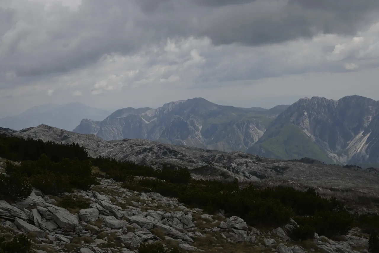
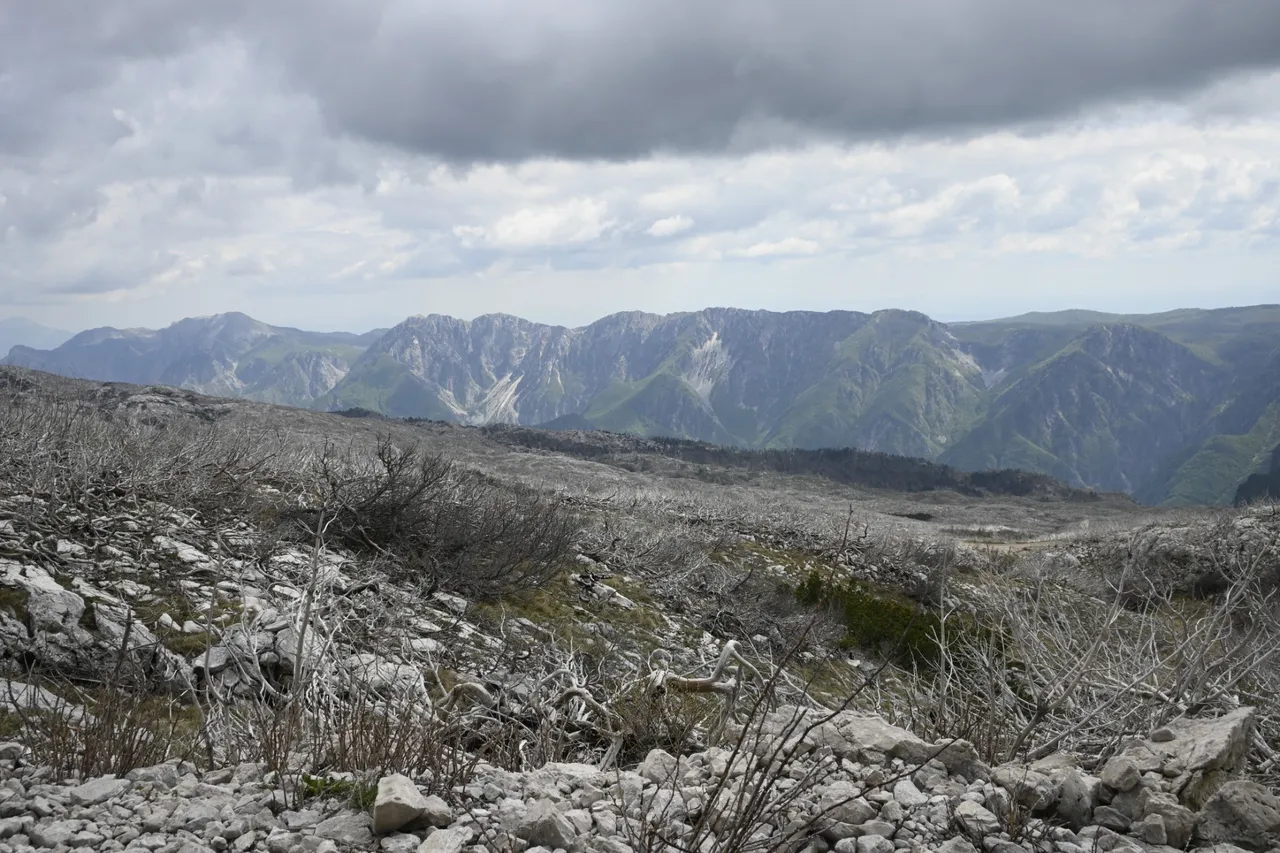
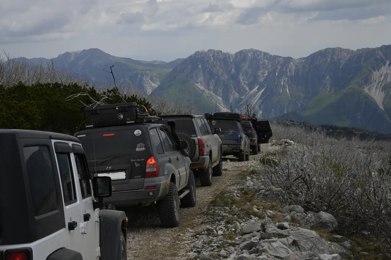
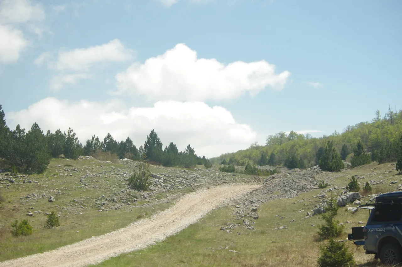
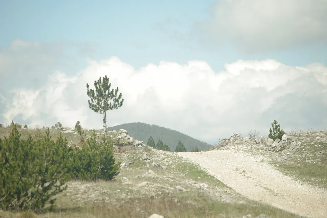
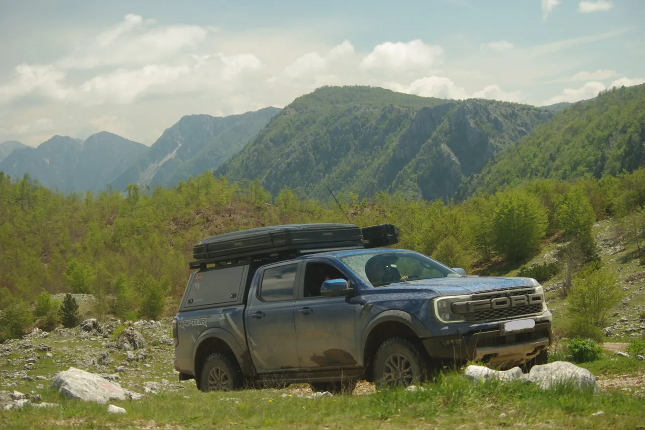
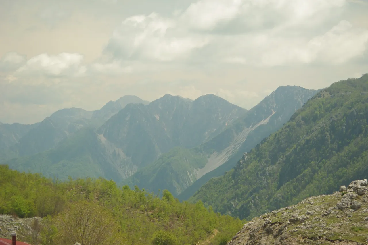
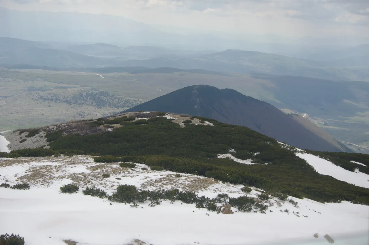
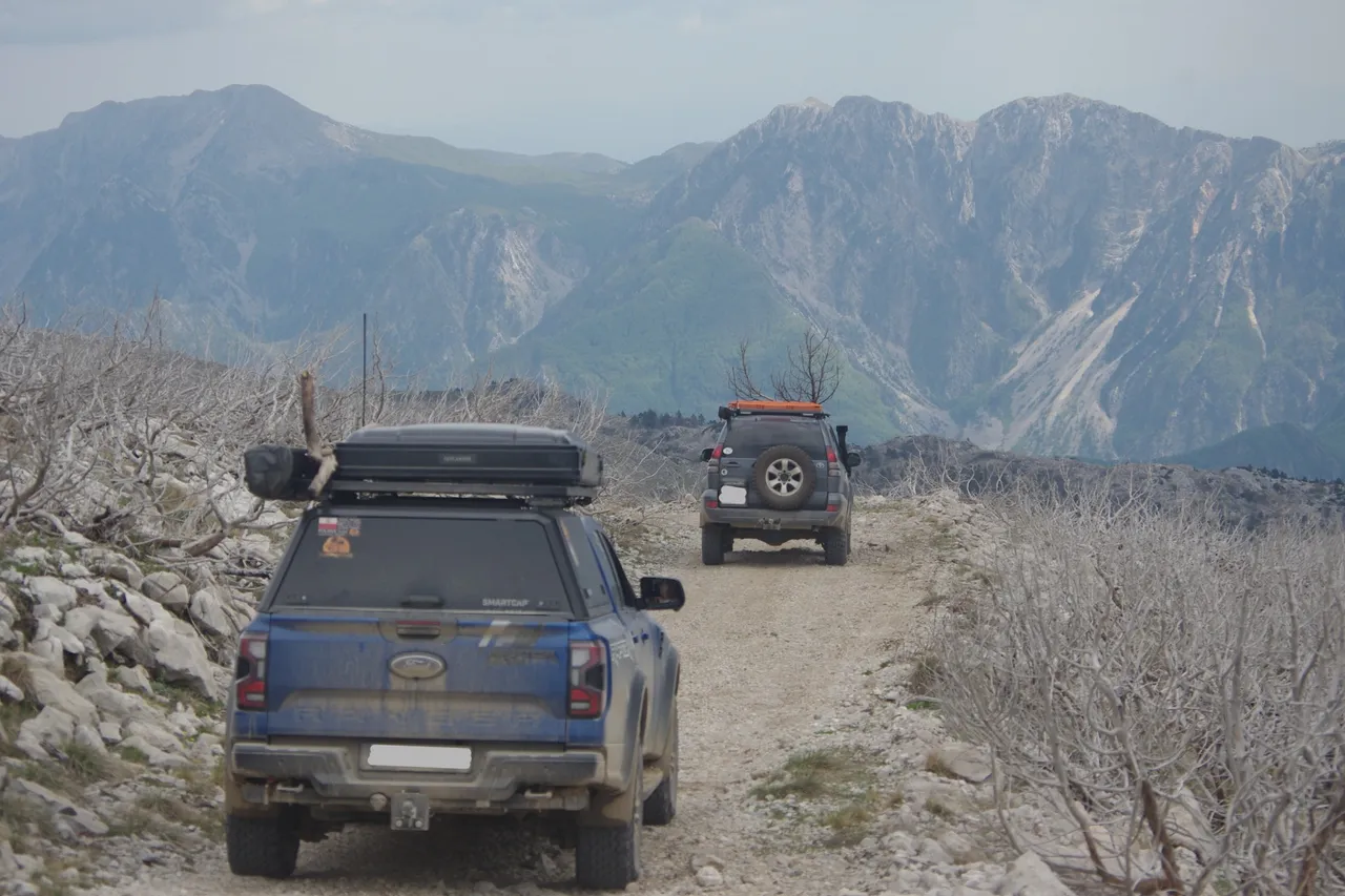
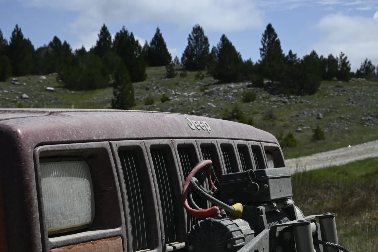
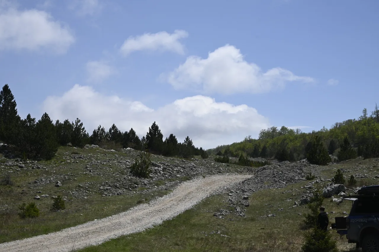
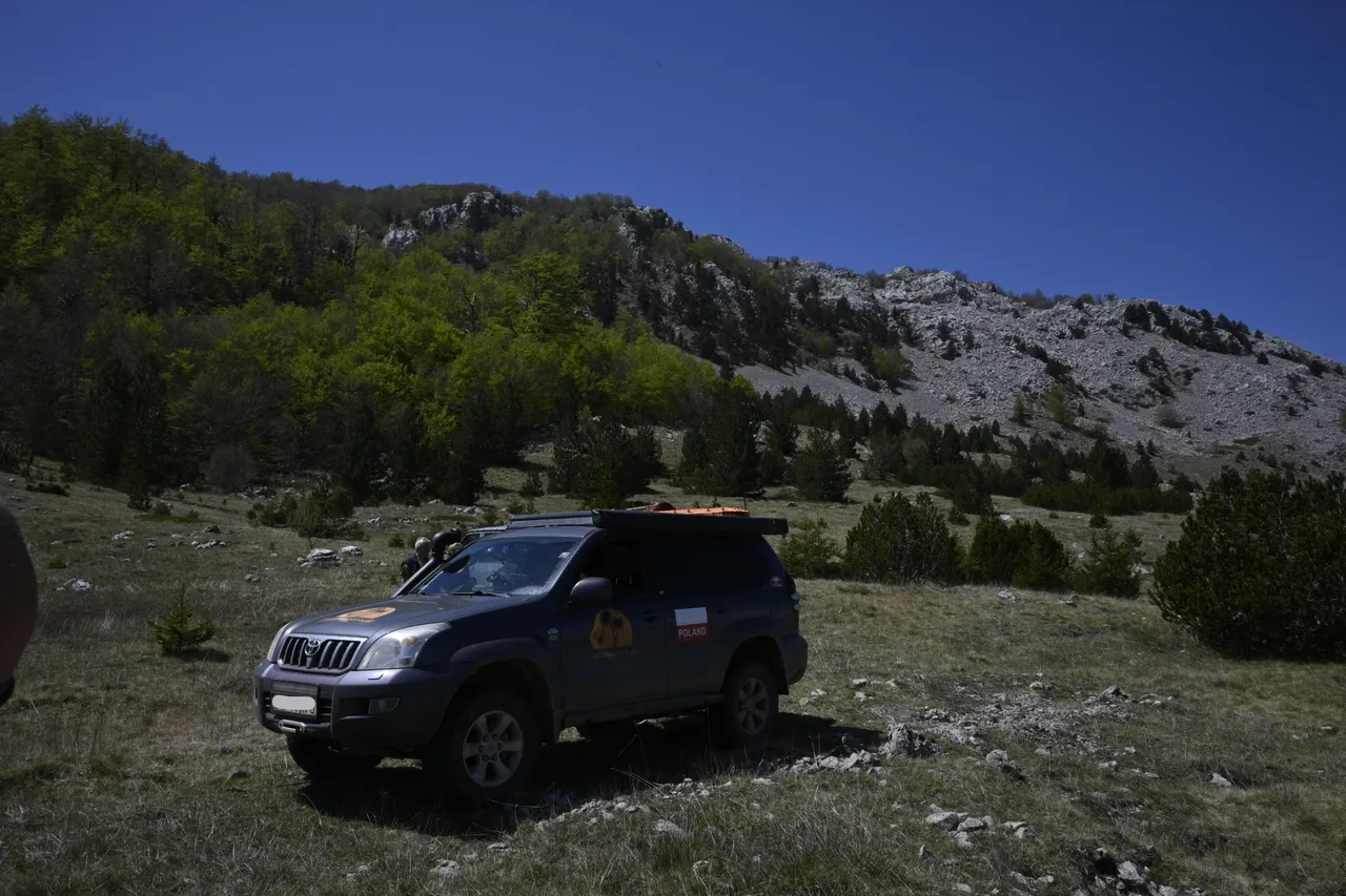
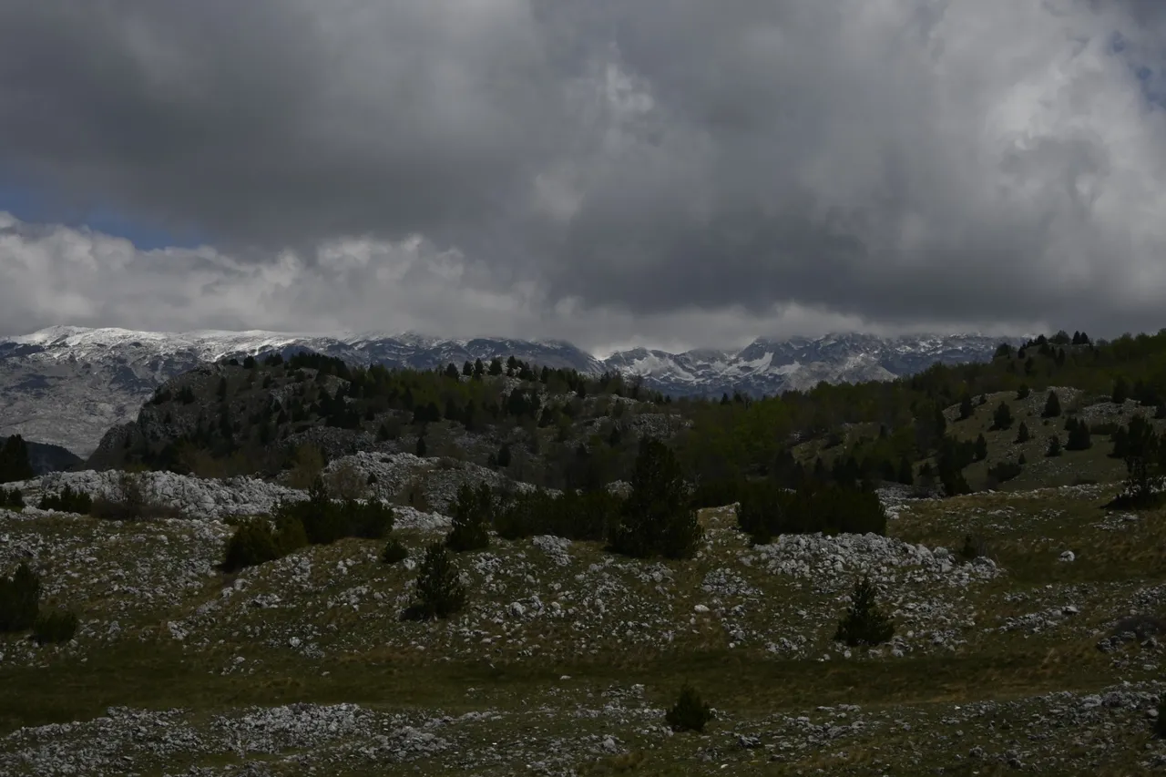
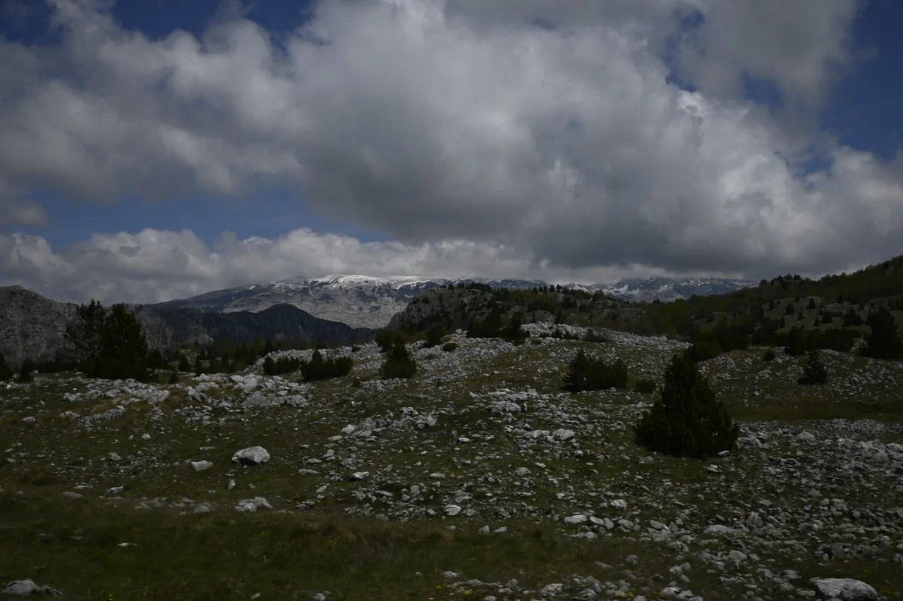
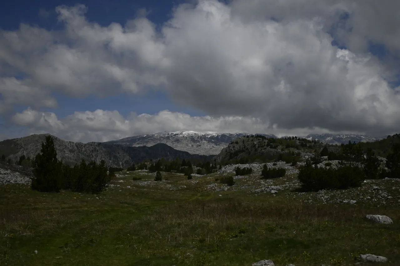
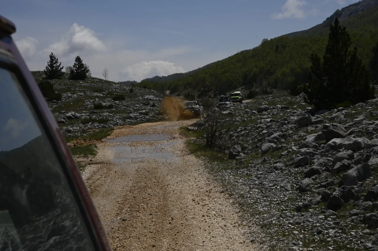
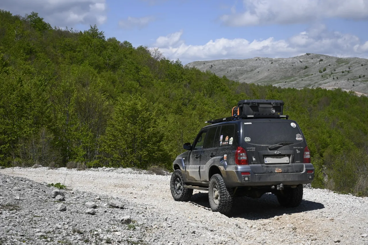
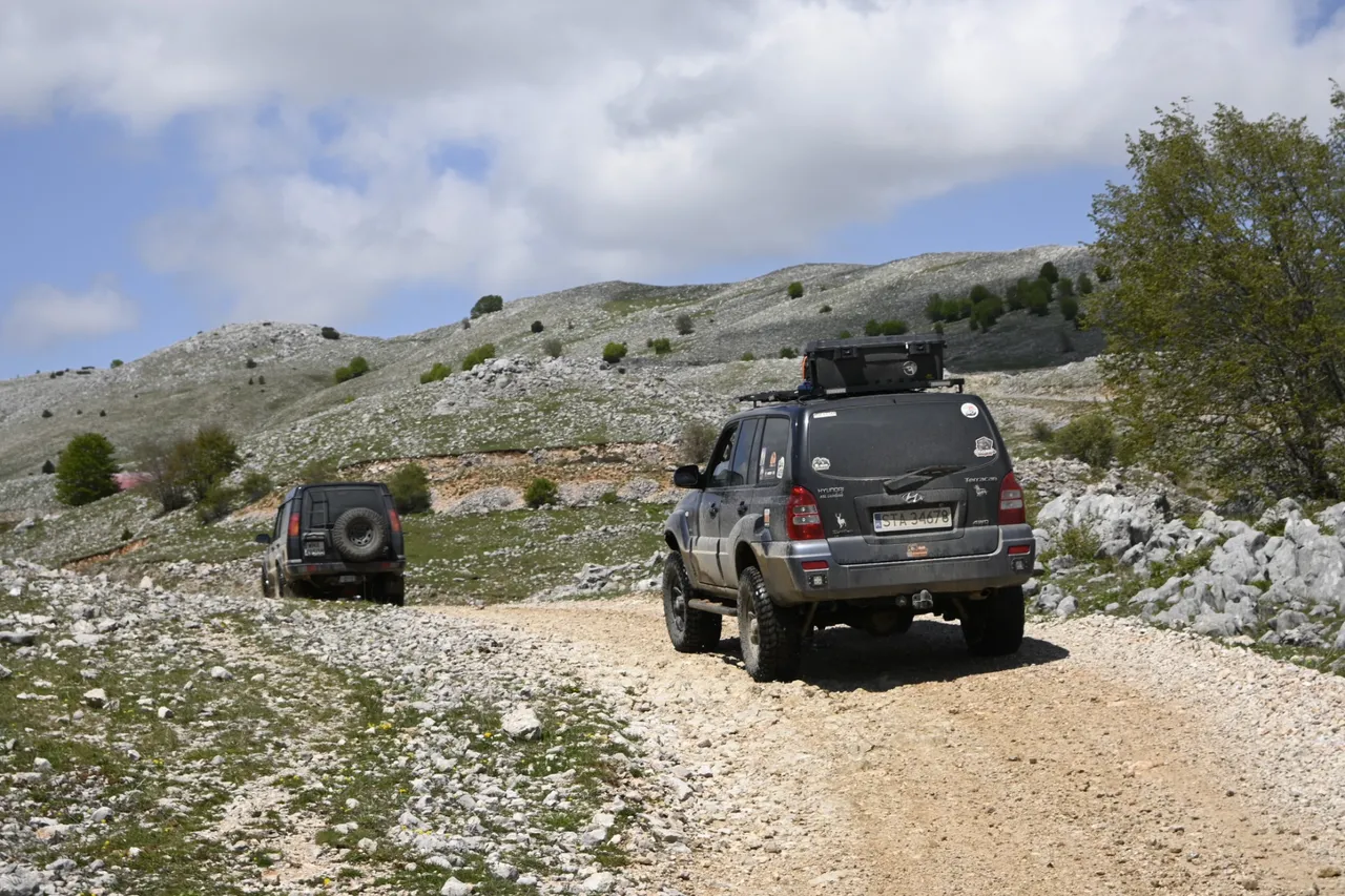
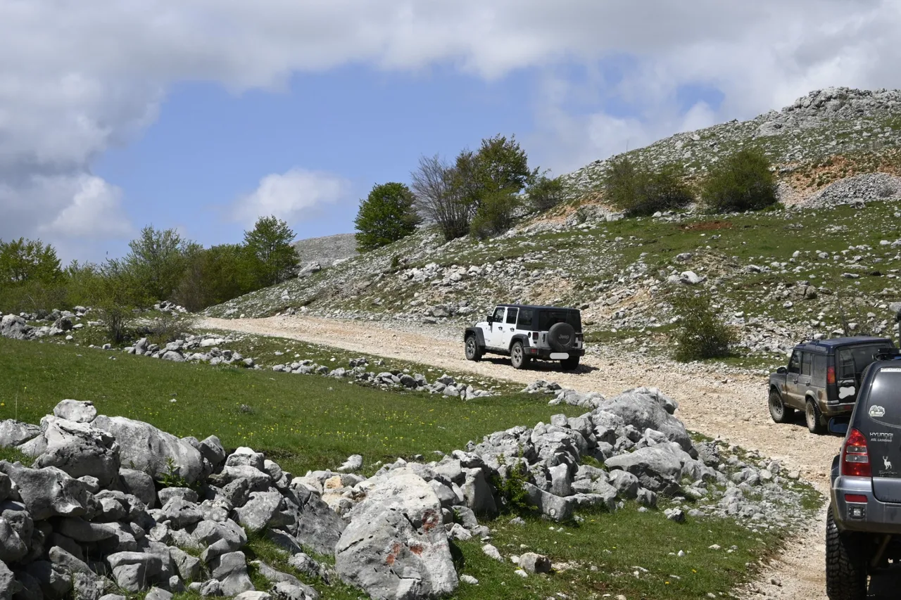
From the beginning of our car trip around Bosnia and Herzegovina, our guide drove his car with a large snow shovel attached to the roof of his car. Since it was early May, in Bosnia and Herzegovina, in the places we were, the temperature reached even 30 degrees Celsius, so we all looked at the shovel with slight skepticism, but when asked about it, our guide said, wait, wait, you will be grateful to me. So we waited patiently and our skepticism grew until the time when at the morning meeting, the guide announced that that day we would try to go to the Pločno peak, to which there is a gravel and rocky road leading to the very top. There are roads leading to many peaks, but not many of the peaks to which roads are leading reach a height of 2228 meters above sea level. Such high peaks in Poland can only be found in the Tatras, or rather only in a small part of the Tatras called the High Tatras. Pločno is located close to the border with Croatia and is the highest peak in the Herzegovinian part of Bosnia and Herzegovina. The ascent to the summit was very laborious and probably took us about an hour. Unfortunately, after reaching an altitude of about 2200 meters above sea level, our guide came across snow that had not yet melted and blocked our further path with a rather thick layer. We quickly chose the strongest car of the whole team (it was a green Jeep Wrangler as a frog) and tried to get through this snowy section. At the same time, one of us set off on foot a few dozen meters up to check whether after overcoming this one snowy obstacle we would be able to drive calmly on the next section. As it turned out, after overcoming the snowy tongue, the further road to the summit was clear. Unfortunately, after over half an hour of fighting with the snow and intensive use of the shovel, it turned out that it would be of no use, and after half an hour we had covered only a quarter of the snowy section. There was only one decision. Retreat.
[PL]
Od początku naszej samochodowej wyprawy dookoła Bośni i Hercegowiny nasz przewodnik jeździł swoim samochodem z wielka łopatą do śniegu przymocowana do dachu swojego samochodu. Ponieważ był początek maja to w Bośni i Hercegowinie w miejscach, w których byliśmy temperatura sięgała nawet 30 stopni Celsjusza dlatego wszyscy patrzyliśmy na owa łopatę z lekkim sceptycyzmem, ale pytany o nią nasz przewodnik mówił, poczekajcie, poczekajcie jeszcze będziecie mi wdzięczni. Więc my cierpliwie czekaliśmy a nasz sceptycyzm rósł aż do czasu, gdy na porannym zebraniu przewodnik oznajmił nam, że tego dnia spróbujemy wyjechać c na szczyt Pločno, na który na sam szczyt poprowadzona jest szutrowo kamienista droga. Na wiele szczytów poprowadzone są drogi, ale nie wiele szczytów na które poprowadzone są drogi sięgają wysokości aż 2228 metrów nad poziomem morza. Tak wysokie szczyty w Polsce można znaleźć tylko w Tatrach, a tak właściwie tylko w małej części Tatr zwanych Wysokimi Tatrami. Pločno położone jest w bliskim sąsiedztwie granicy z Chorwacja i jest najwyższym szczytem w Hercegowińskiej części Bośni i Hercegowiny. Podjazd na szczyt był bardzo mozolny i zajdą nam pewnie z godzinę czasu. Niestety po dotarciu do wysokości około 2200 metrów nad poziomem morza nasz przewodnik natrafił na śnieg który jeszcze nie zdążył się stopić i dość grubą warstwą zagradzał nam dalszą drogę. Szybko wybraliśmy najsilniejszy samochód z całej ekipy (był to zielony jak żabka Jeep Wrangler) i spróbowaliśmy przedrzeć się przez ten zaśnieżony odcinek. Równocześnie jeden z nas wybrał się pieszo te kilkadziesiąt metrów do góry aby sprawdzić, czy po pokonaniu tej jednej śnieżnej przeszkody uda nam się na dalszym odcinku już spokojnie pojechać. Jak się okazało, po pokonaniu jęzora śnieżnego dalsza droga aż do szczytu była czysta. Niestety po ponad półgodzinnej walce ze śniegiem i intensywnym używaniu łopaty okazało się, że to by nic nie dało, i po pół godzinie pokonaliśmy zaledwie jedna czwartą zaśnieżonego odcinka. Decyzja była tylko jedna. Odwrót.
[ENG]
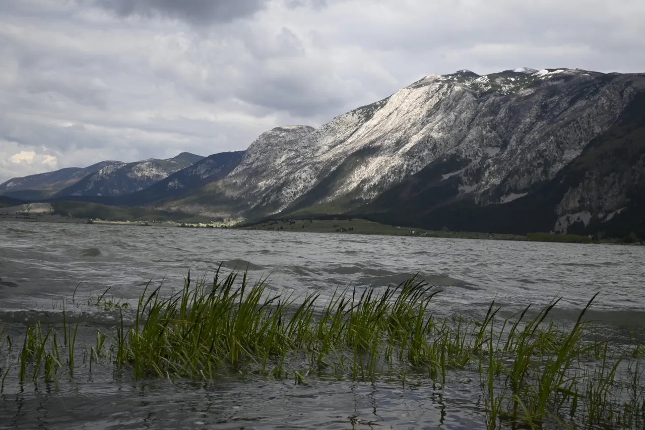
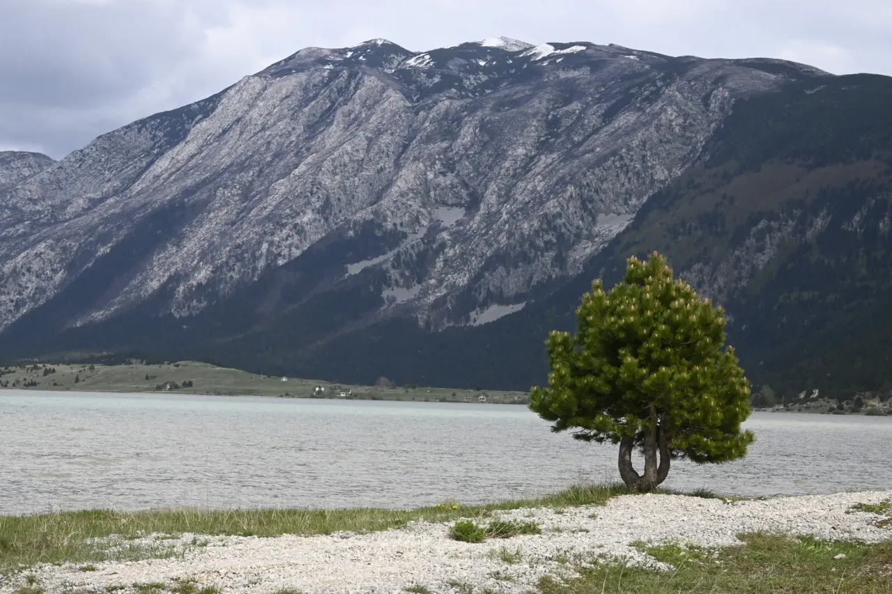
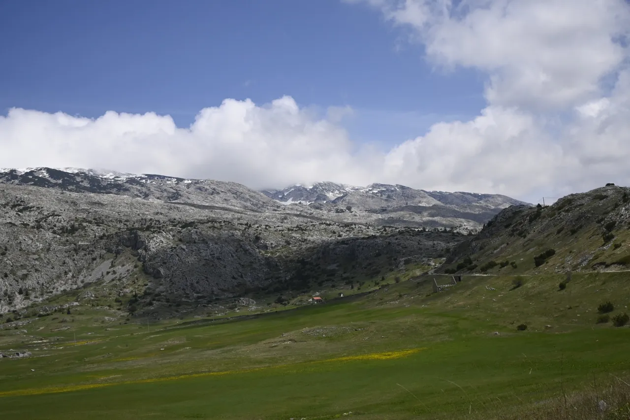
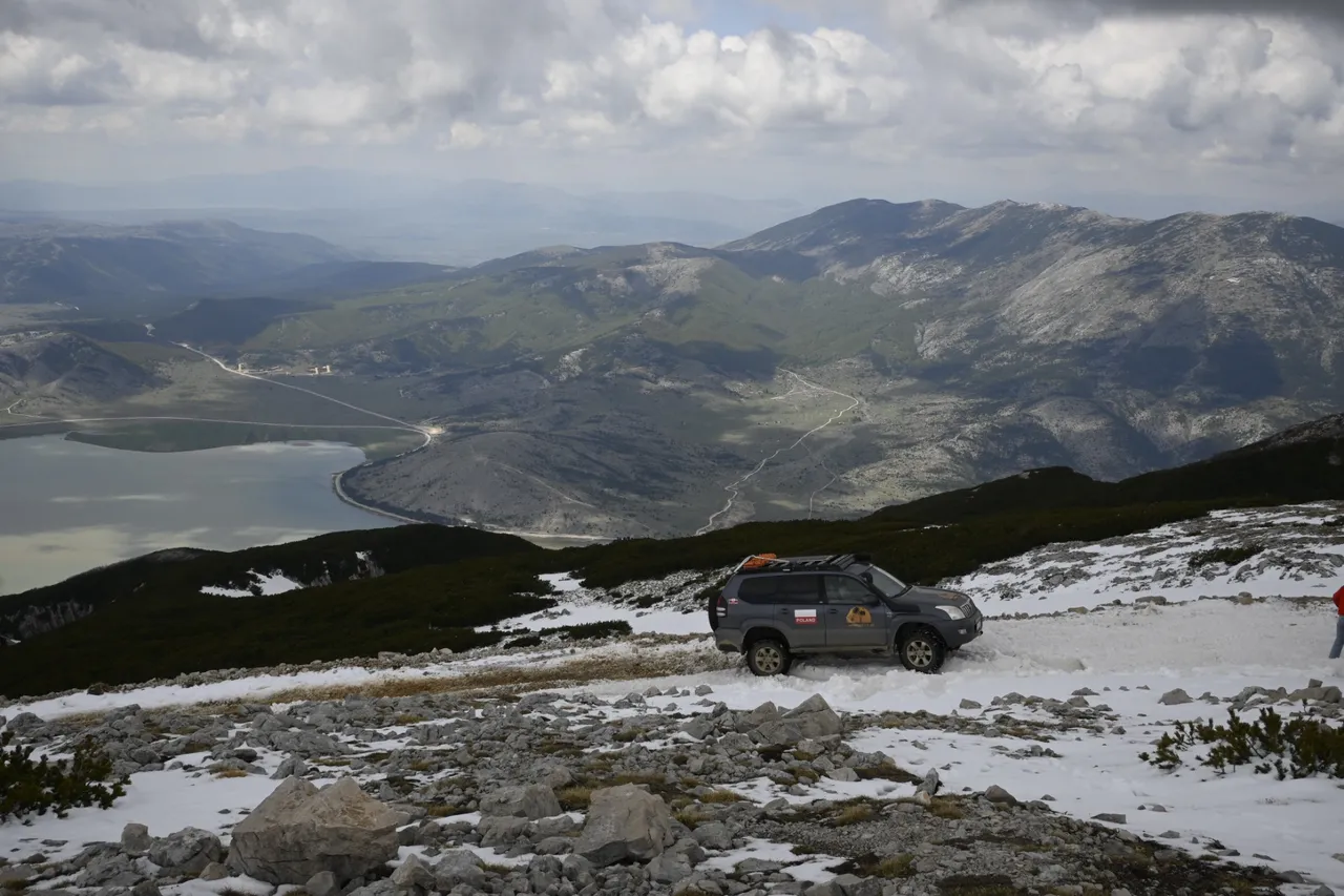
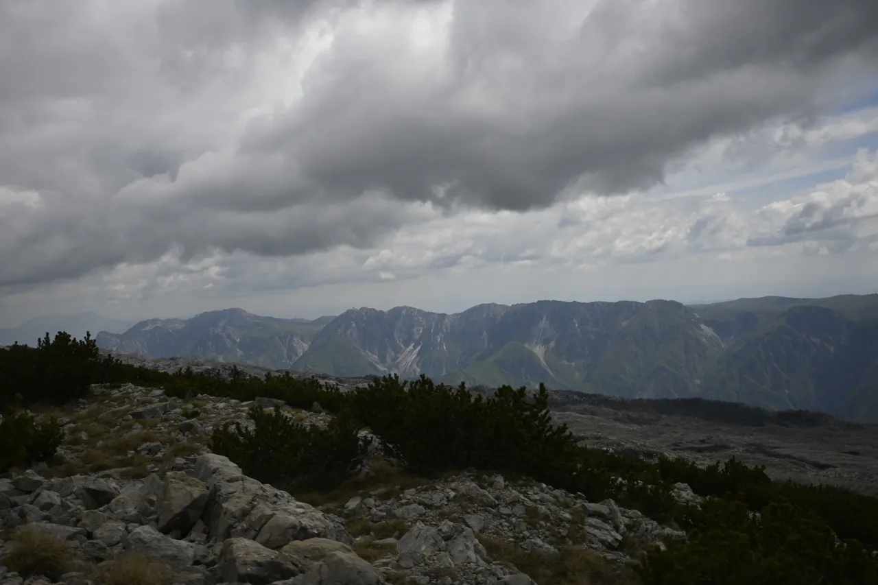
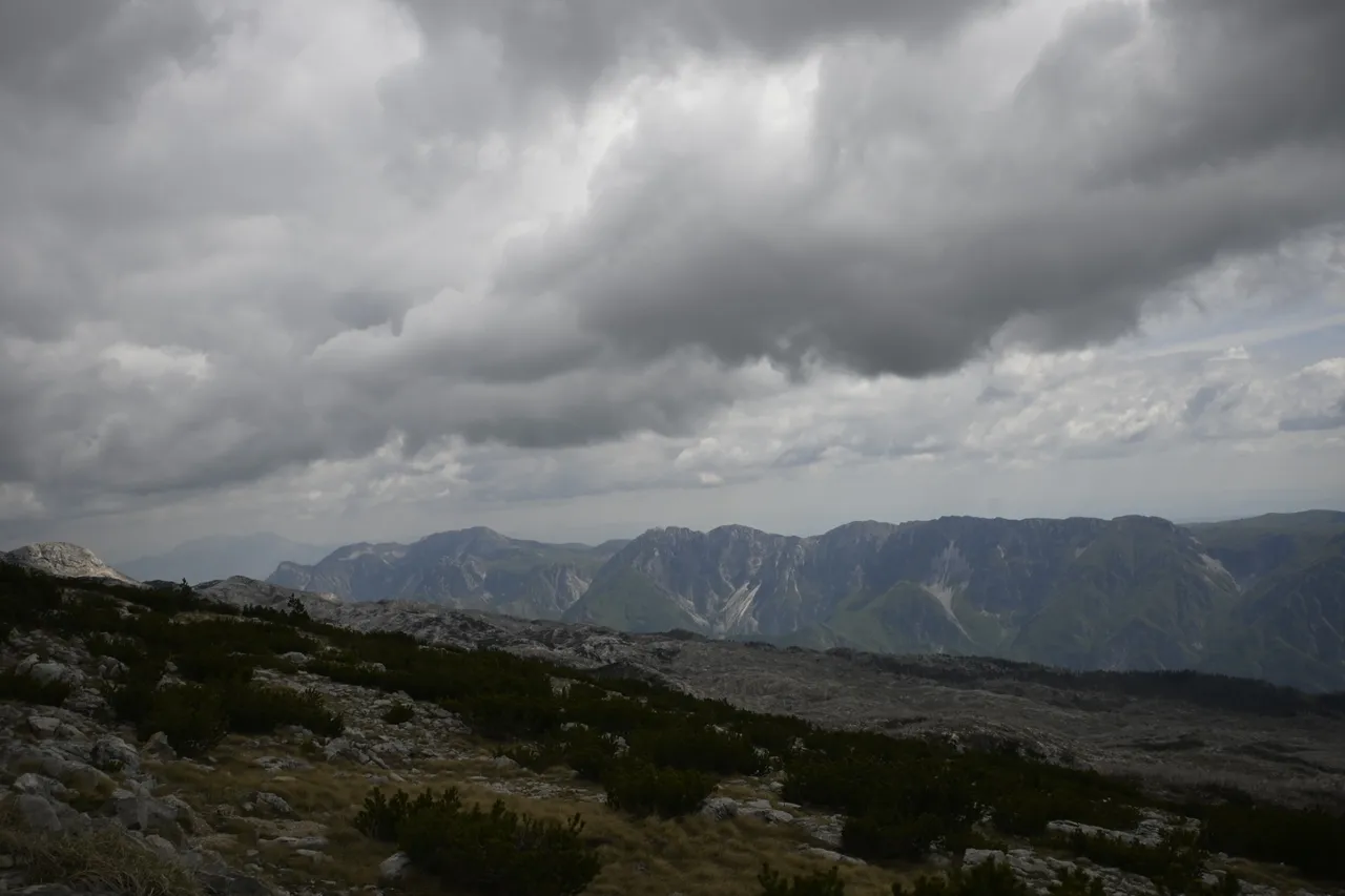
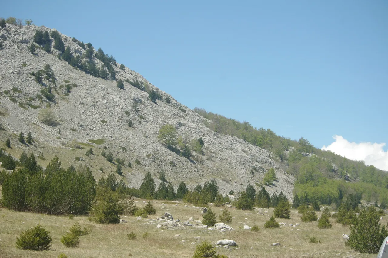
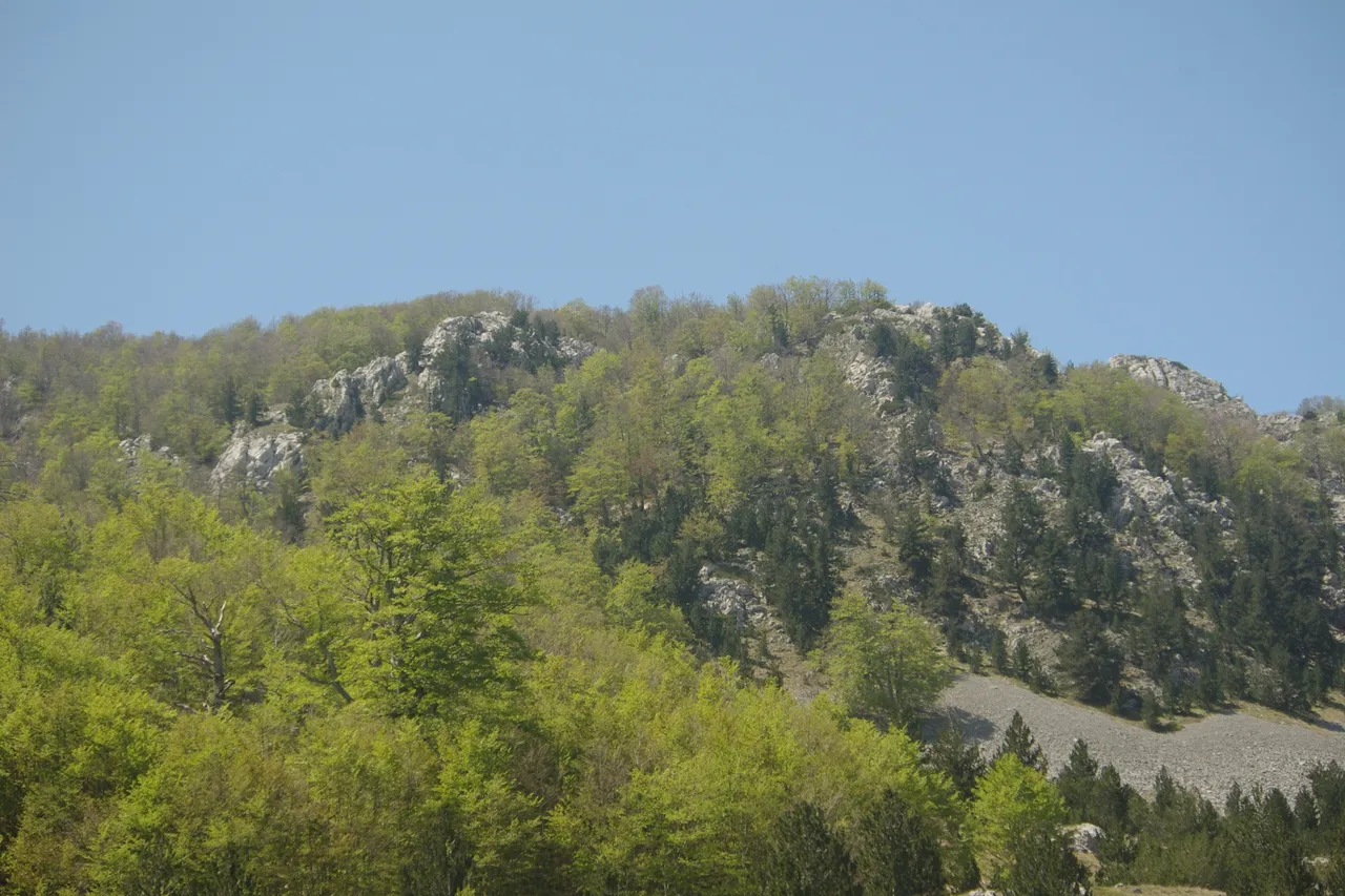
But since the day was still young, when descending from the peak we organized a group gathering of all kinds of branches, from which we decided to make a bonfire at Lake Blidinje located at the foot of Mount Pločno. Lake Blidinje is the largest artificial lake in Bosnia and Herzegovina, and its surface is variable and depends on the season and the intensity of water inflow to the lake. Usually, the surface of Lake Blidinje varies between 2.5 and 6 km². The water surface is located at an altitude of 1,185 meters above sea level. The most interesting parameter is the depth of the lake, because it is only 1.9 meters, and at the deepest point it reaches 3.5 meters. So in general, you could walk / swim through the entire lake having direct or close contact with the bottom. From the lake there is a beautiful view of our unconquered Mount Pločno and only from the bottom did we realize how much snow still lies on this mountain and how unlikely it was to reach the top.
[PL]
Ale ponieważ dzień był jeszcze młody to zjeżdżając ze szczytu zorganizowaliśmy grupowe zbieranie wszelkiego rodzaju gałęzi, z których postanowiliśmy zrobić ognisko nad jeziorem Blidinje znajdującego się u podnóża góry Pločno. Jezioro Blidinje jest największym sztucznym jeziorem Bośni i Hercegowiny, a jego powierzchnia jest zmienna i zależy od pory roku i intensywności dopływu wody do jeziora. Zwykle powierzchnia jeziora Blidinje wahającej się między 2,5 a 6 km². Tafla wody położona jest na wysokości 1185 metrów nad poziomem morza. Najciekawszy parametr, to głębokość jeziora, bo wynosi zaledwie 1,9 metra, a w najgłębszym miejscu dochodzi do 3,5 metra. Więc generalnie można by przejść / przepłynąć przez cale jezioro mając bezpośredni lub bliski kontakt z dnem. Z nad jeziora rozpościera się piękny widok na nasza niezdobyta górę Pločno i dopiero z dołu uświadomiliśmy sobie jak dużo śniegu zalega jeszcze na tej górze i jak mało prawdopodobne było dojechanie na szczyt.