Welcome to the next installment of my journey along the Way of Saint James in Switzerland. In the last part, we reached the top of Hörnli (1133m) where we spent a wild night full of celebrations. Let's see what the trail has prepared for me on the way to the final destination in Tüfelsbrugg.
Vítejte u dalšího pokračování z mojí cesty po Svatojakubské stezce na území Švýcarska. V posledním díle jsme se dostali na vrchol Hörnli (1133m). Kde jsme strávili divokou noc plnou oslav. A dnes se podíváme co si pro mě stezka připravila cestou do cílové destinace v Tüfelsbrugg.
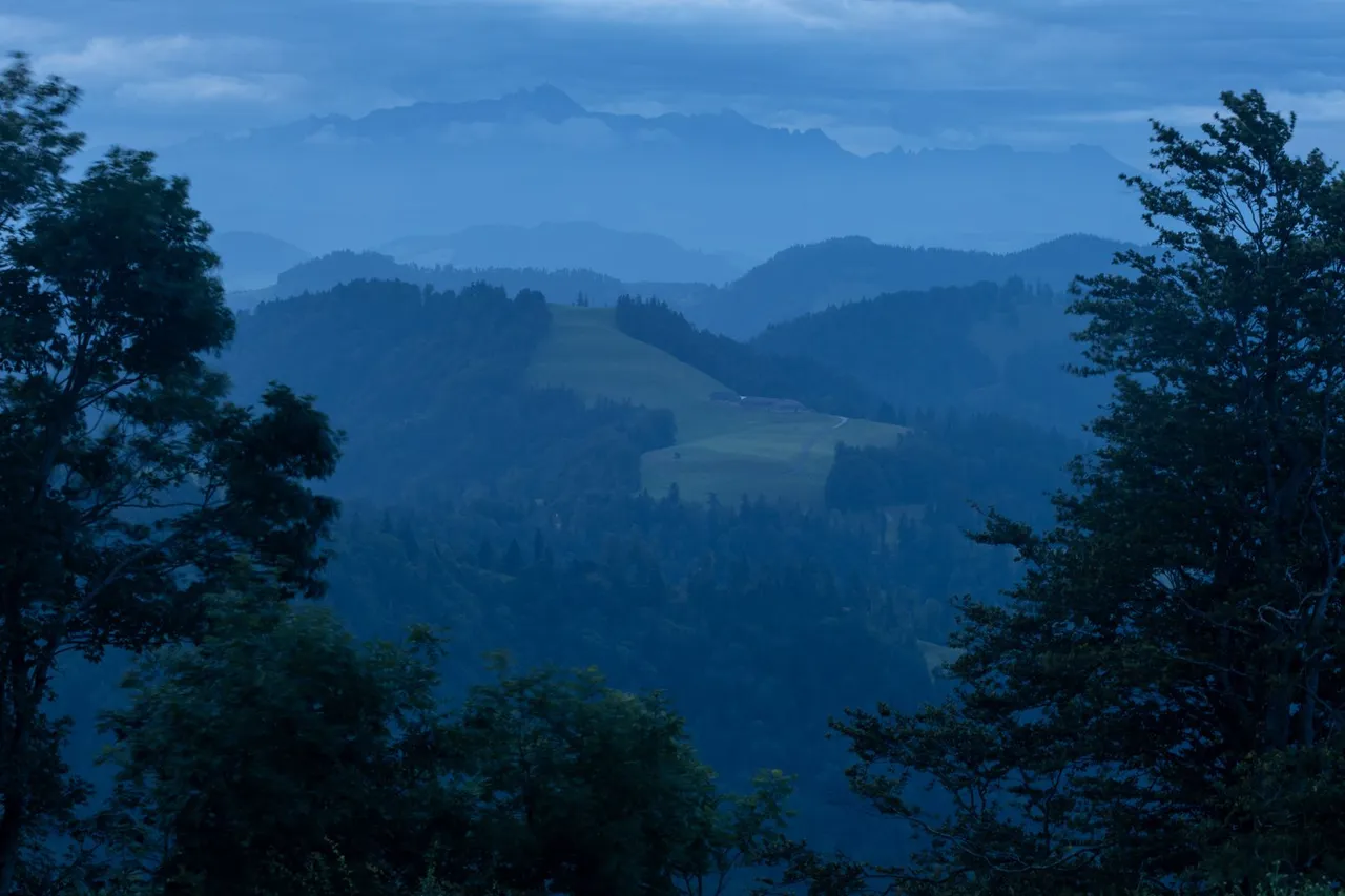
In the morning I woke up before sunrise because I wanted to take advantage of the beautiful view from the top in all directions. But when I climbed out from my shelter it wasn't the best view, because the sky was heavily overcast. The only hope was a small hole in the clouds to the east. Thanks to which everything could turn into a unique sunrise.
Ráno jsem se probudil před východem slunce, protože jsem chtěl využít krásného výhledu z vrcholu do všech stran. Ale když jsem vylezl ven, nebyl to zrovna nejlepší pohled, protože nebe bylo silně zatažené. Jedinou nadějí byla malá díra v mracích na východě. Díky které se vše ještě mohlo změnit v unikátní východ slunce.
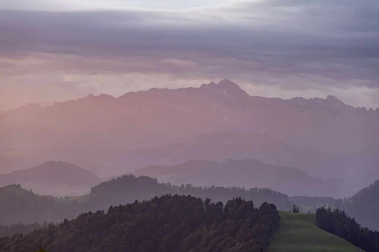
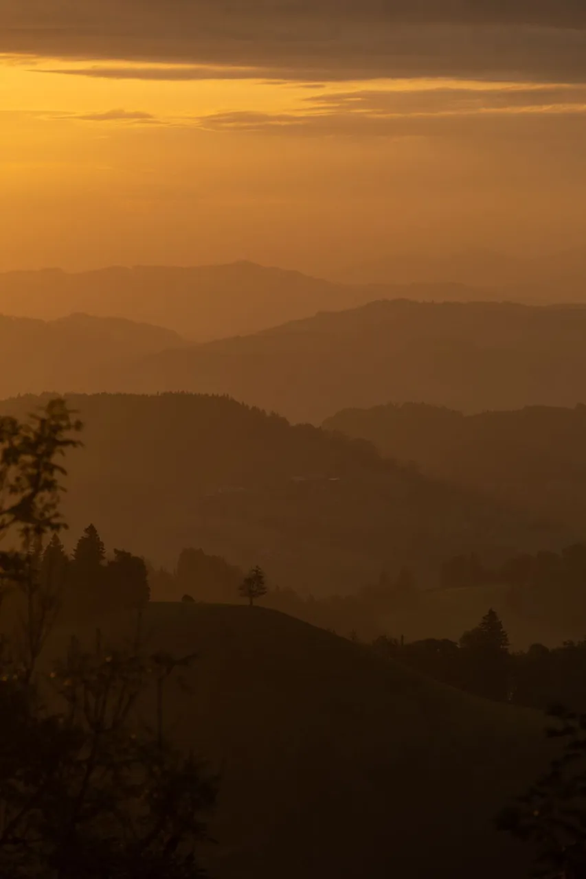
Which eventually happened for a few minutes and I was able to take some morning photos.
Což se i nakonec na několik minut stalo a já mohl pořídit nějaké ranní fotky.
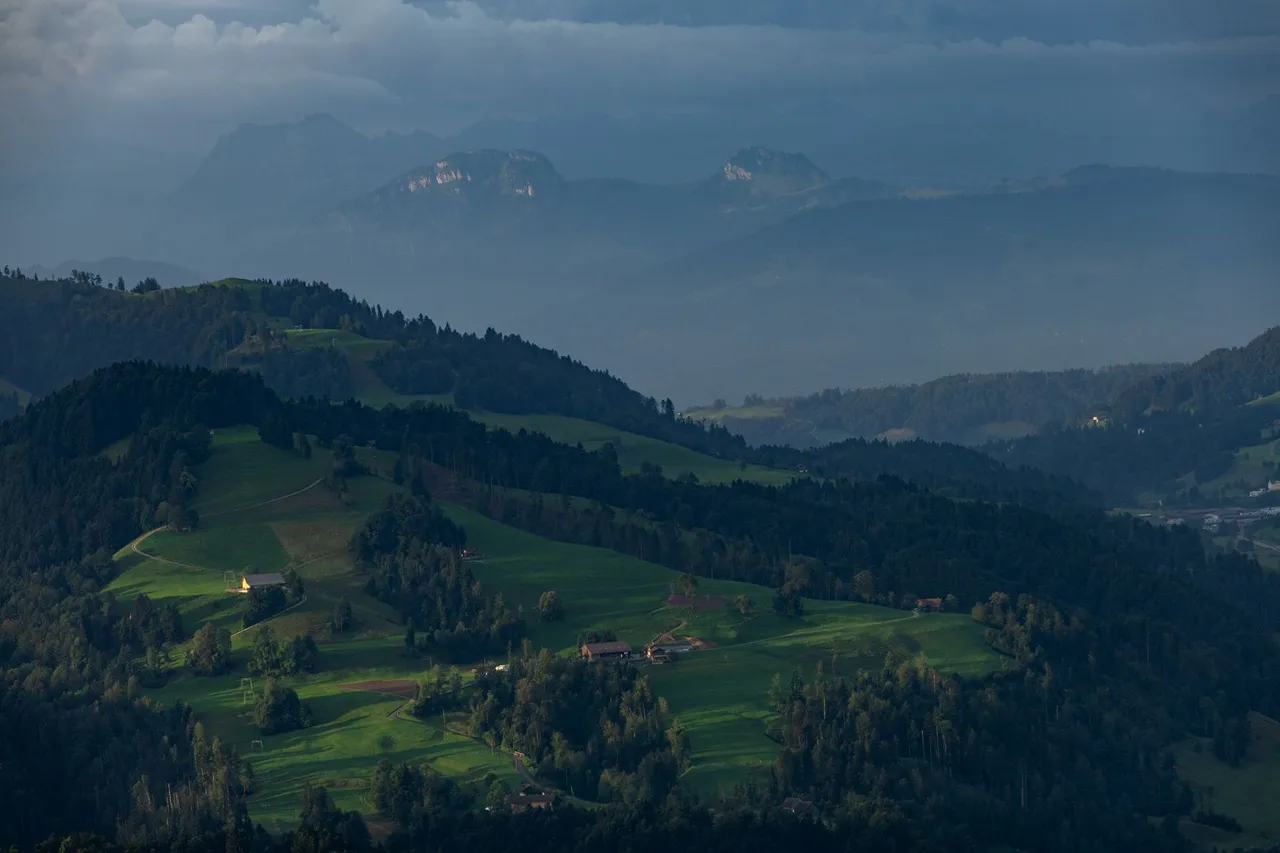
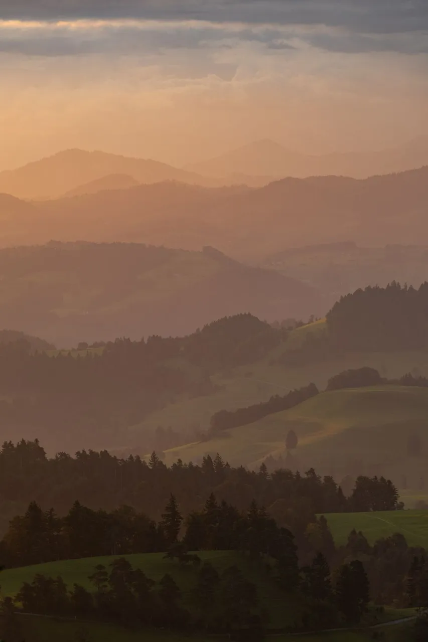
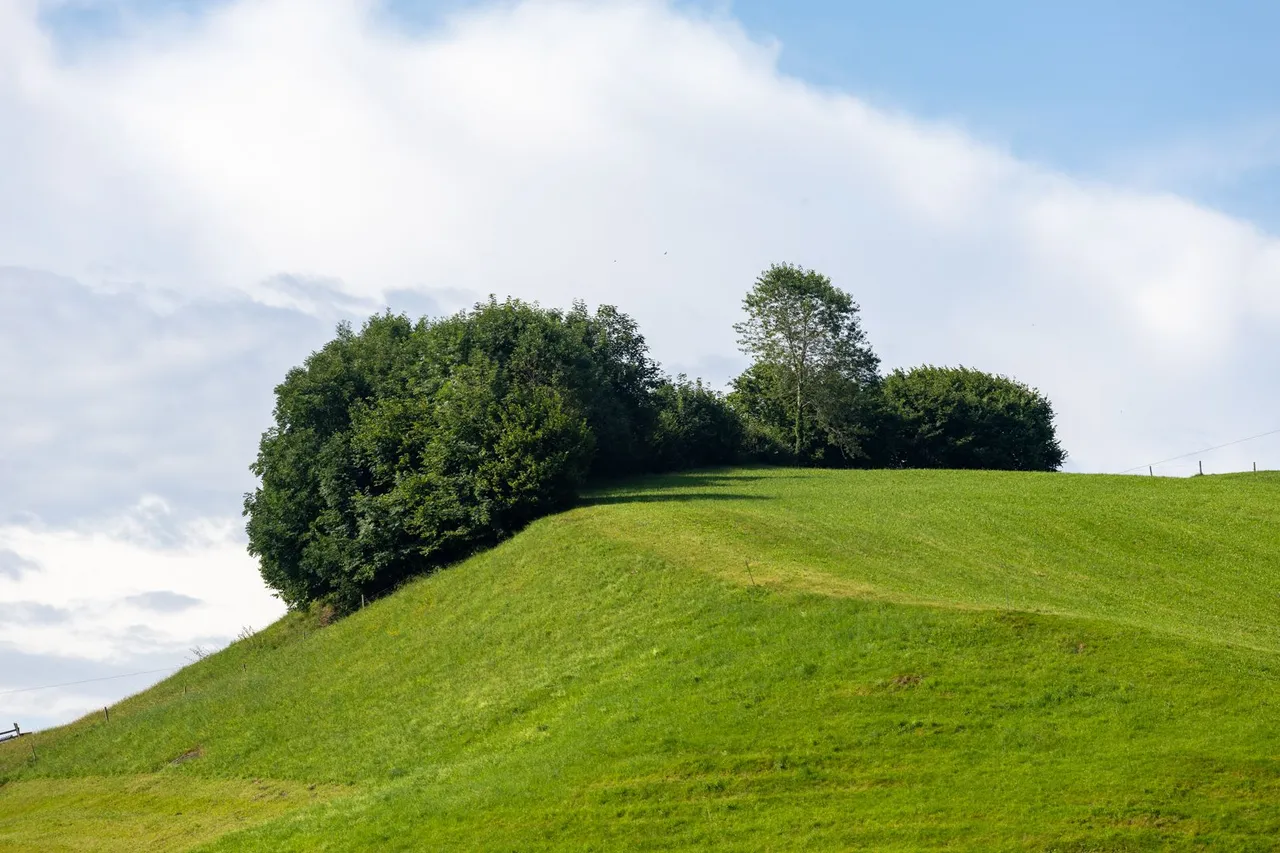
So the stay at the top dragged on for a while and as soon as the light died. I started to pack and then set off towards the valley.
Pobyt na vrcholu se tedy na chvíli protáhl a jakmile světlo umřelo. Začal jsem se balit a poté vyrazil směrem do údolí.
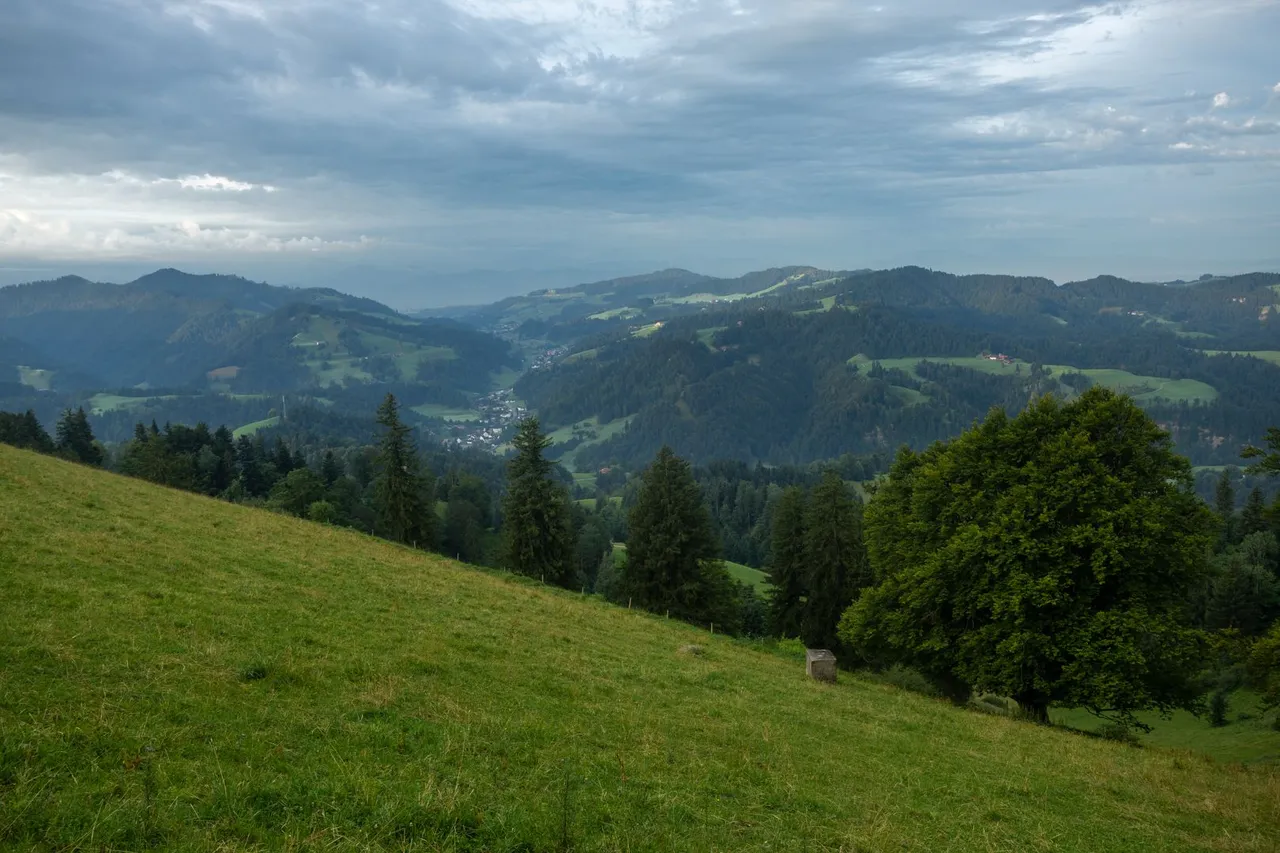
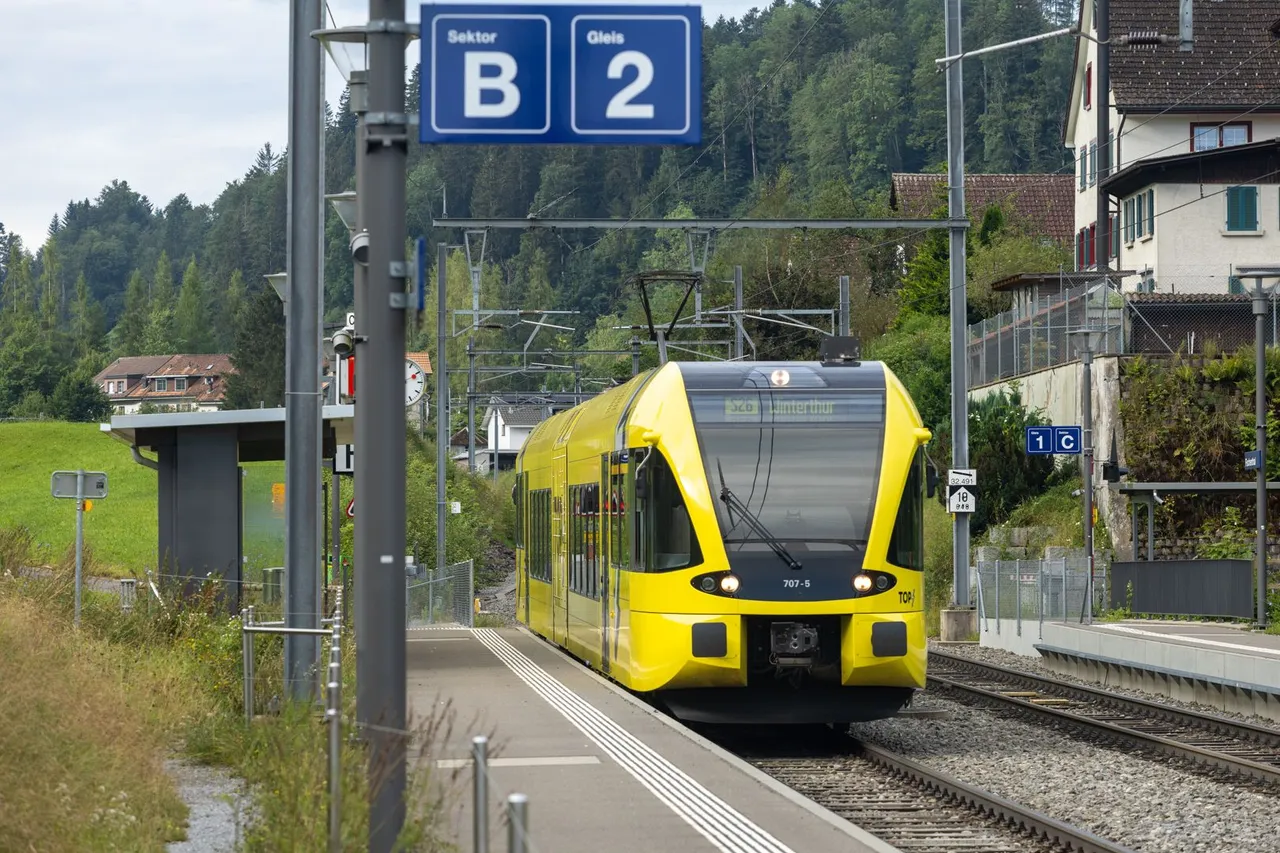
As soon as I reached the bottom of the valley, a few hours' journey along the railway through the towns of Steg, Fishental and Gibswil awaited me.
Jakmile jsem se dostal na dno údolí čekala mě několika hodinová cesta podél železnice přes městečka Steg, Fishental a Gibswil.
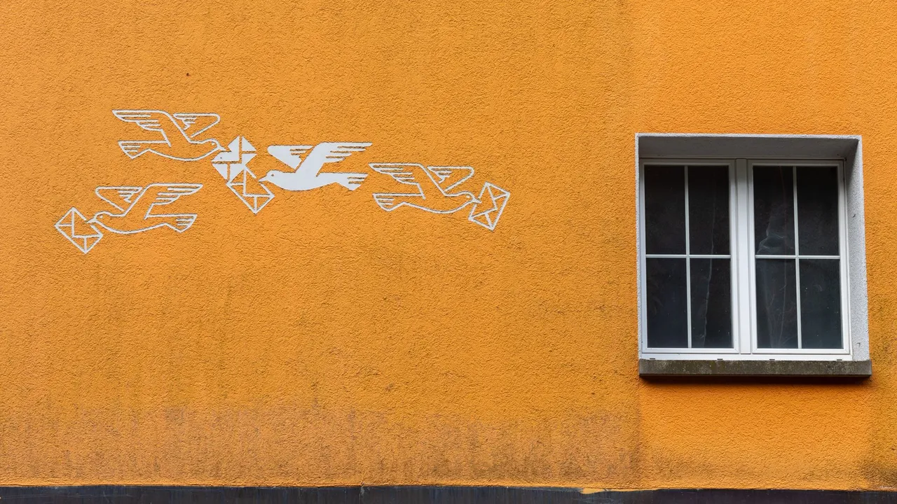
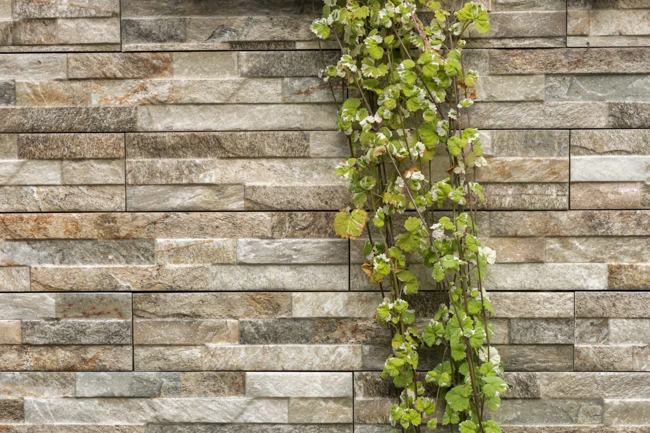
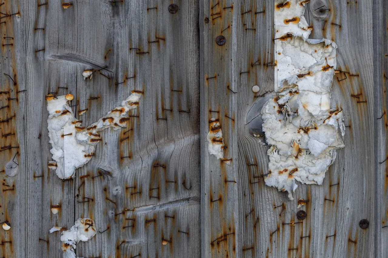
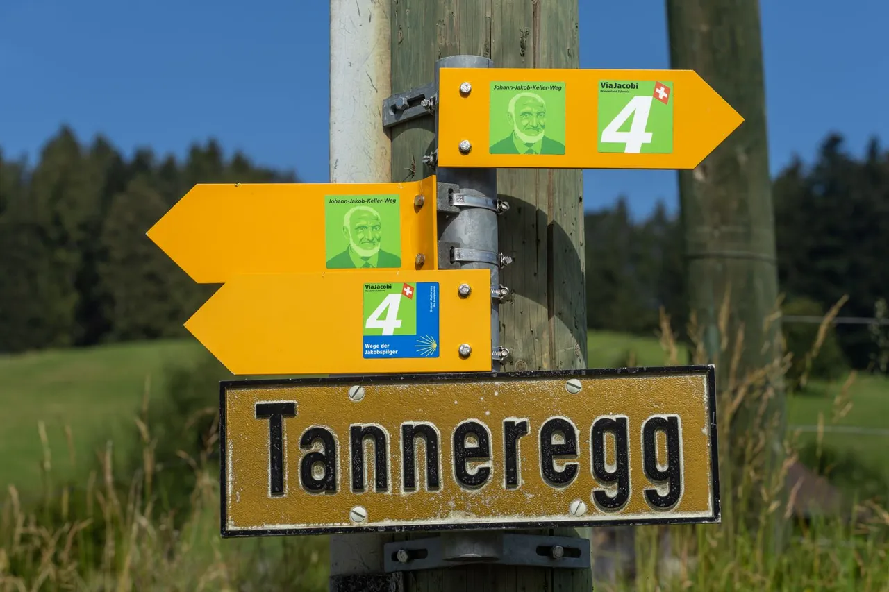
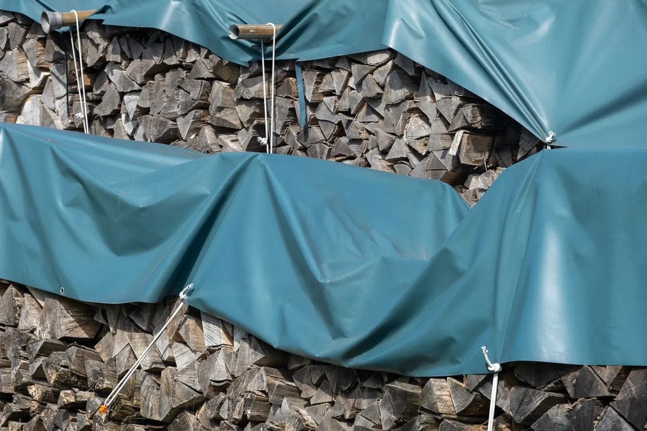
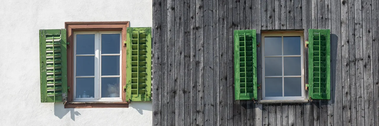
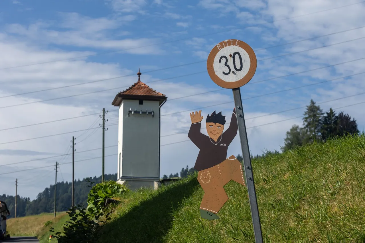
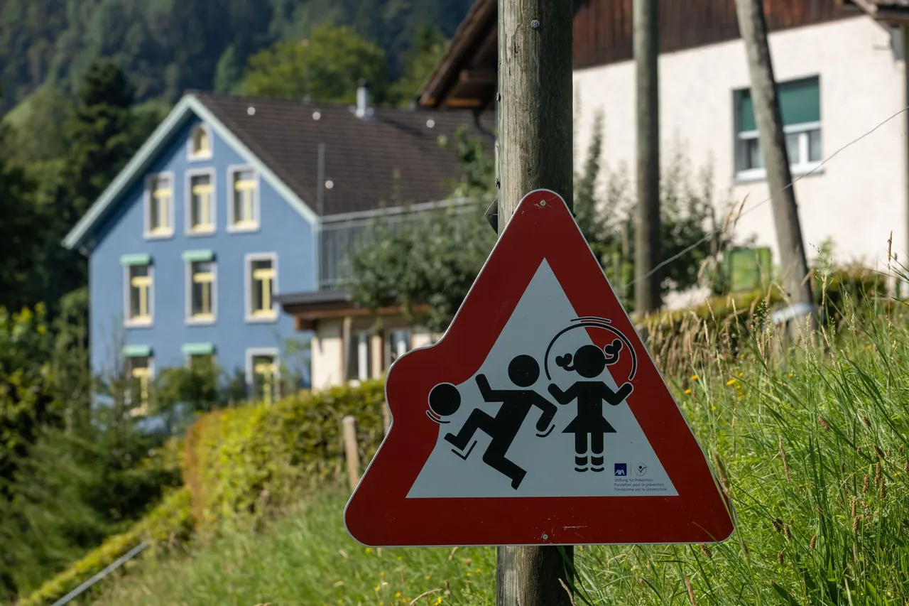
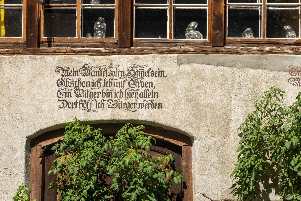
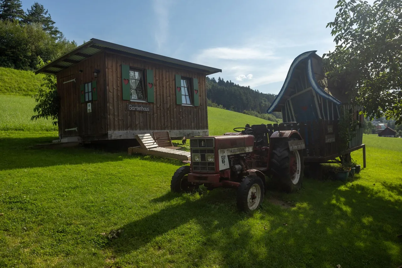
As the road began to diverge from the railway, I began to climb into small villages on the hillside. Here I realized that the locals are quite creative and I started taking pictures of the details that caught my attention in these villages.
Když se cesta začala vzdalovat od železnice, začal jsem stoupat do malých vesniček ve stráni. Zde jsem si uvědomil, že místní obyvatelé jsou dosti kreativní a začal jsem fotit detaily co mě v těchto vesničkách zaujaly.
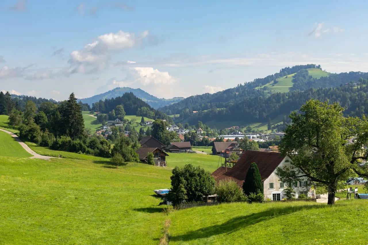
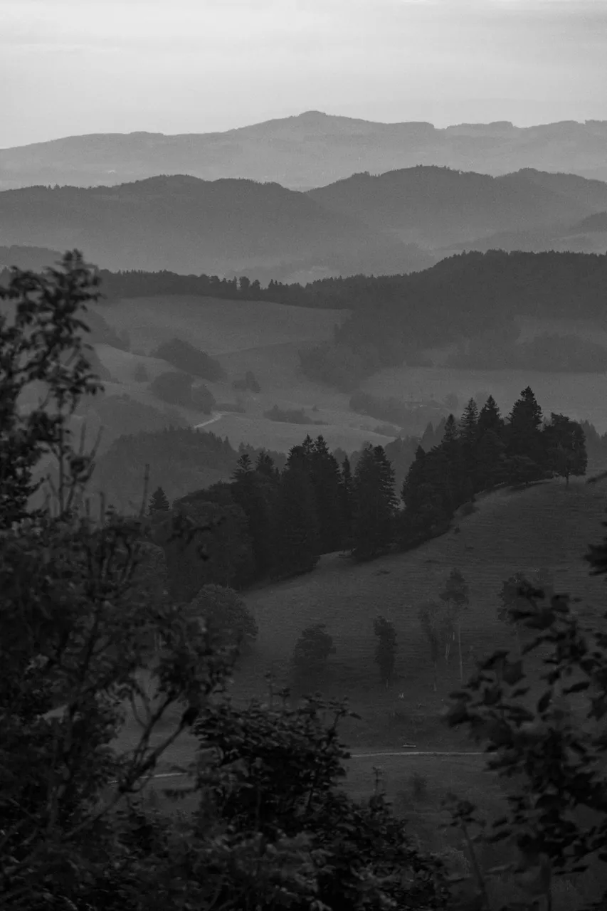
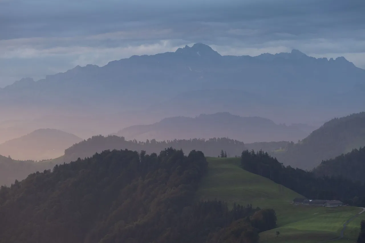
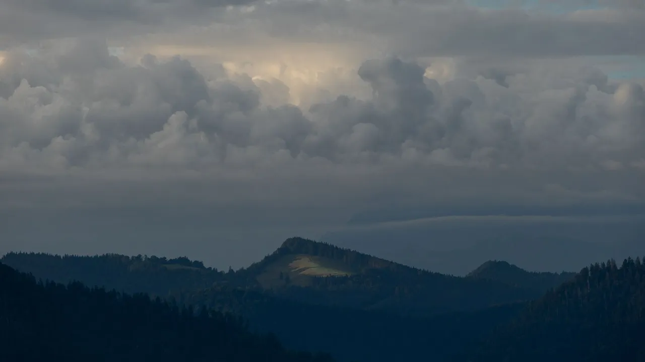
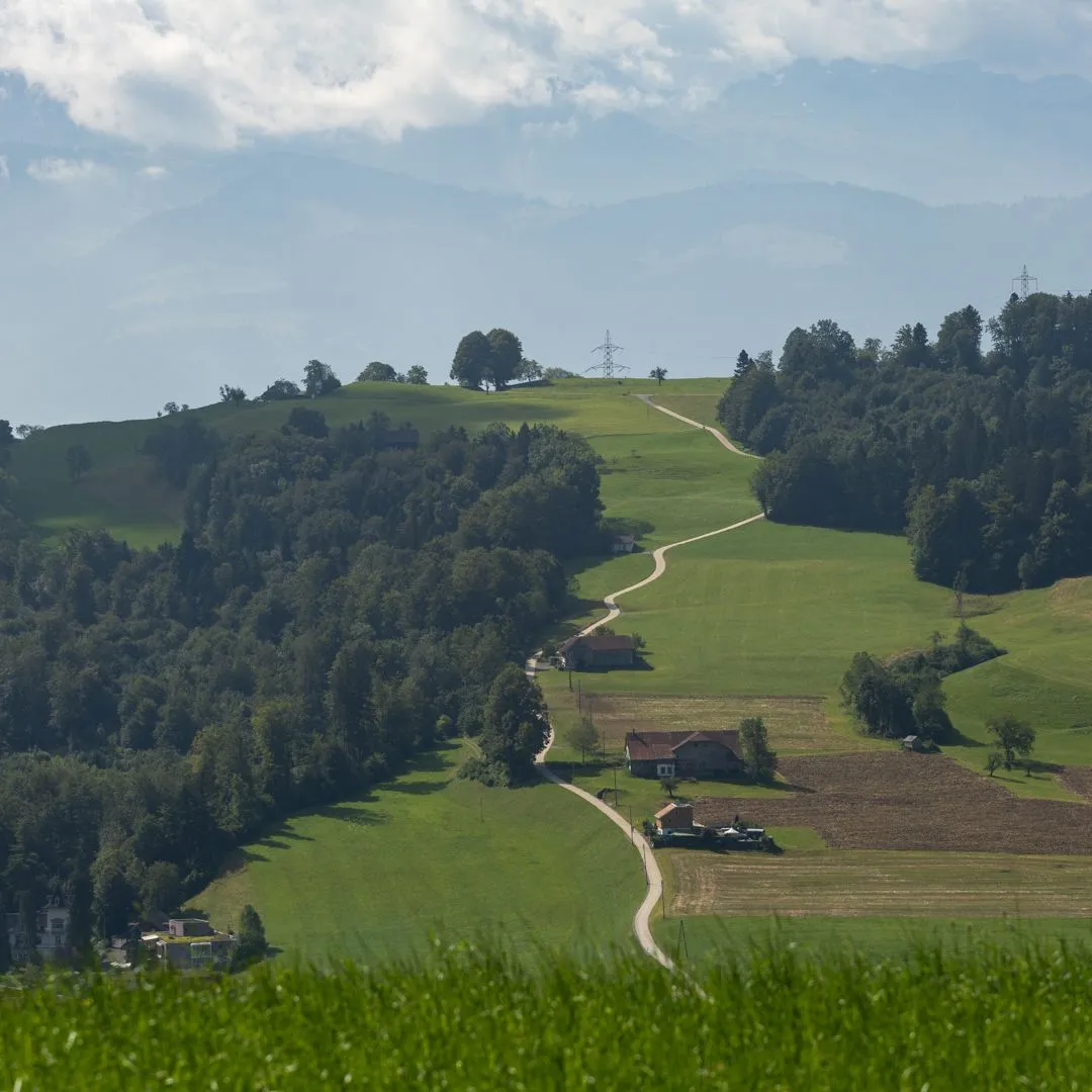
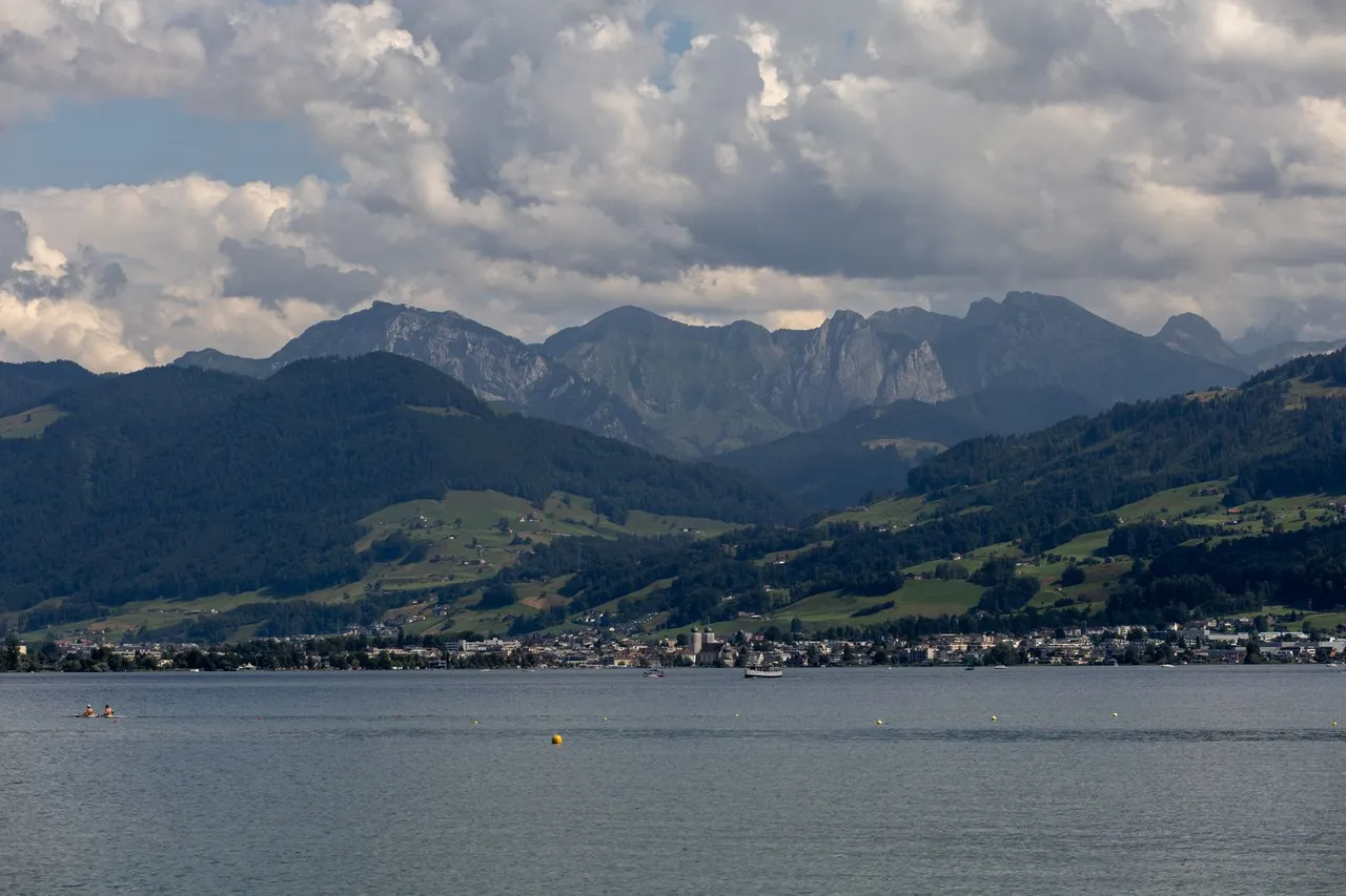
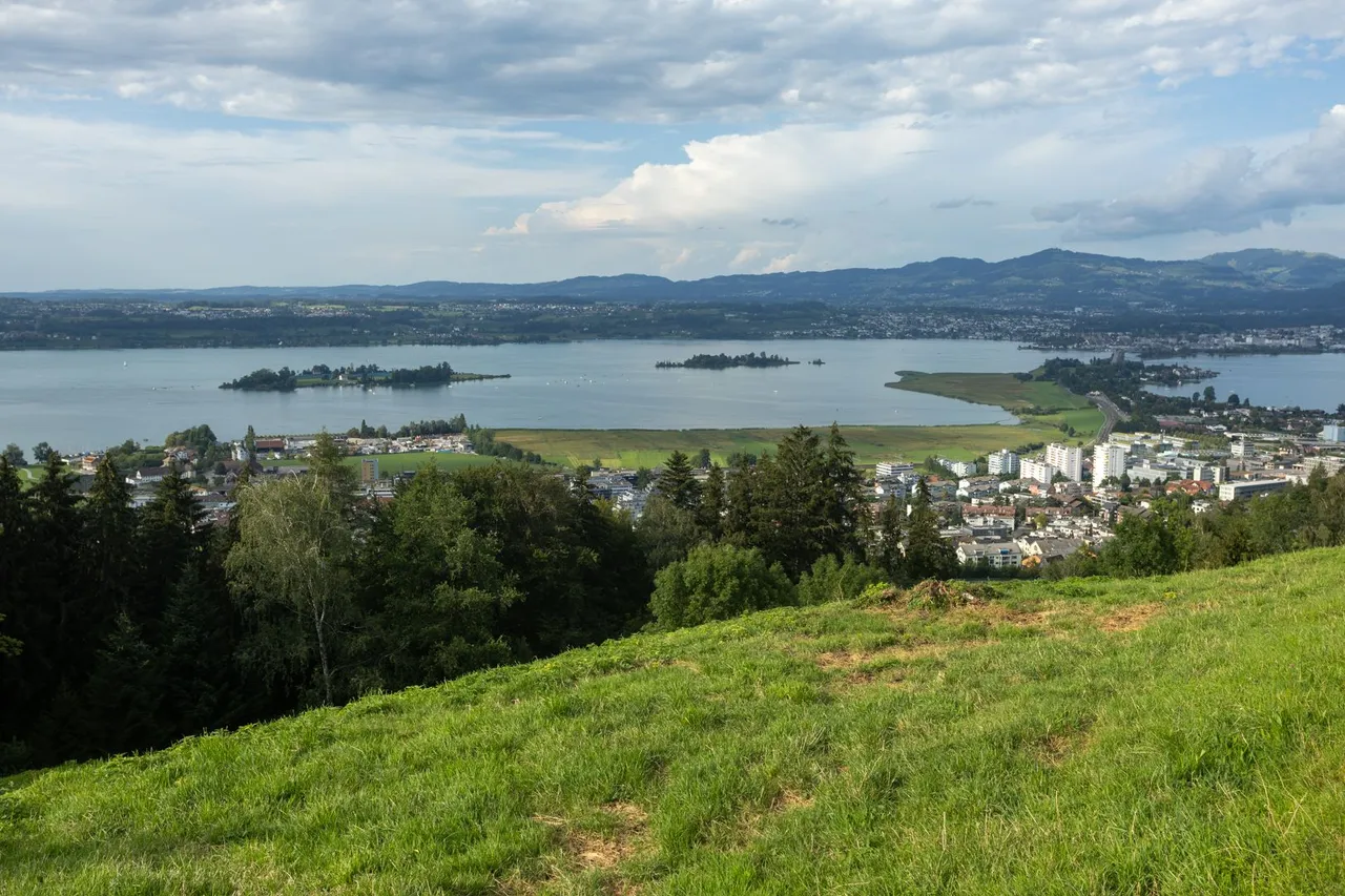
I continued further along the path that led roughly halfway up the side of the entire valley. Unfortunately I couldn't take pictures towards the valley because it was against the sun. Only on a bench where I rested for a while did I see this view towards the west.
Pokračoval jsem dále po stezce, která vedla zhruba v polovině stráně celého údolí. Bohužel jsem nemohl fotit směrem do údolí, protože to bylo proti slunci. Teprve na jedné lavičce kde jsem chvíli odpočíval, jsem uviděl tento pohled směrem více na západ.
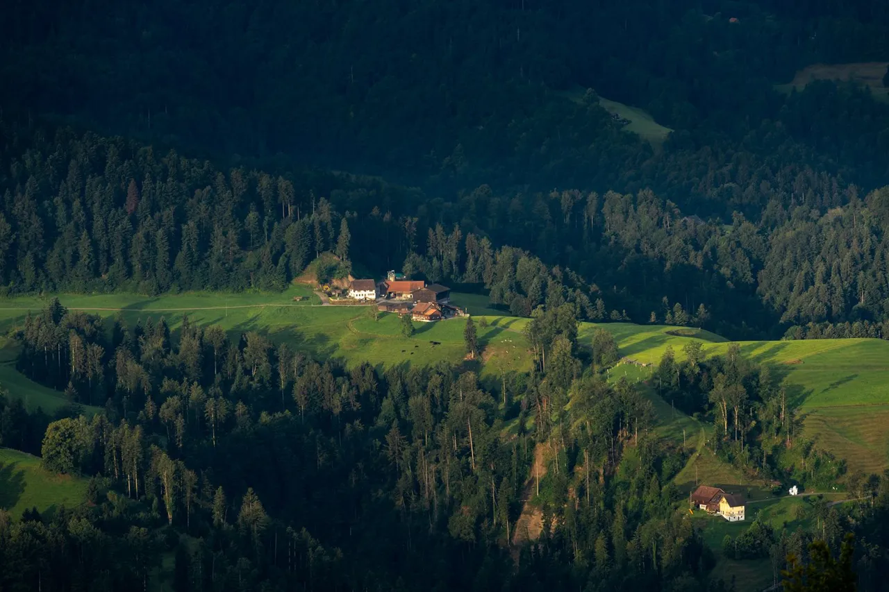
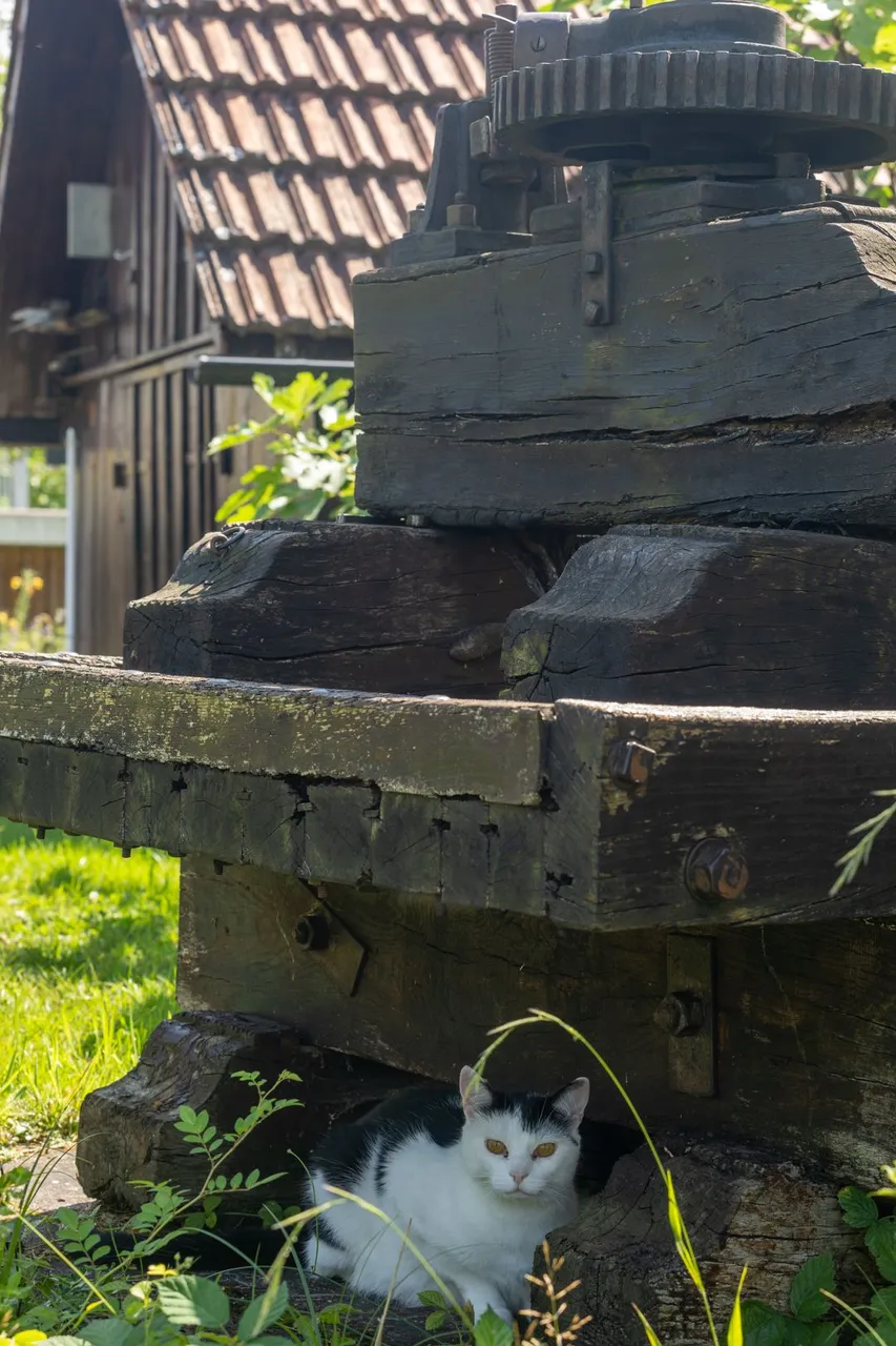
After a little rest, I slowly started to descend towards the big lakes where I was heading. Along the way, I met historic houses and tools that served as a shadow for the cat.
Po malém odpočinku jsem pomalu začal klesat k velkým jezerům kam jsem směřoval. Cestou jsem potkával historické domy i nástroje, které sloužili jako stín pro kočku.
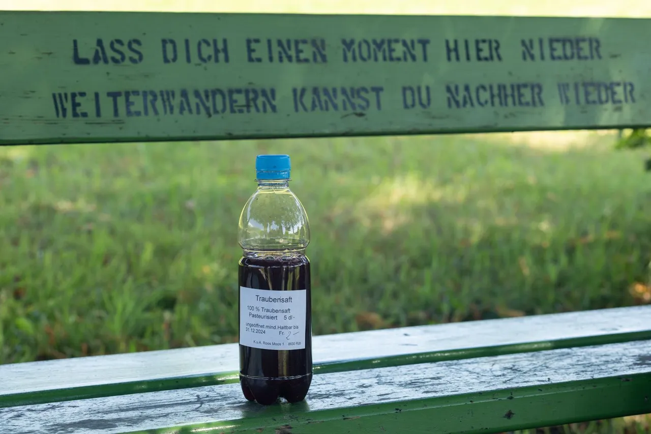
After that I started to descend even more through the forest and a few settlements that I had to pass through. Here I very often came across various local things for sale by the buildings. It was already quite warm and I was thirsty and also craving something sweet. When I reached the small parking lot at the Unter Moos farmhouse, where there was an old wooden box with a solar panel. I was sufficiently intrigued by this combination. So I decided to investigate her. There was honey and fruit juice for sale. I chose 100 procent BIO grape juice for 2 Francs.
Poté jsem začal ještě více klesat skrze les a pár osad přes které jsem musel projít. Zde jsem velmi často narážel na různé lokální věci na prodej u stavení. To už bylo docela teplo a já měl žízeň a také chuť na něco sladkého. Když jsem došel na malé parkoviště u statku Unter Moos, kde byla stará dřevěná skříň se solárním panelem. Tato kombinace mě dostatečně zaujala. A tak jsem se jí rozhodl prozkoumat. Byl zde na prodej med a ovocné šťávy. vybral jsem si 100 procentní BIO šťávu z hroznového vína za 2 Franky.
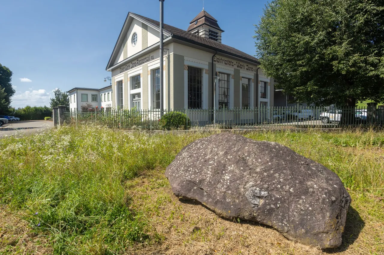
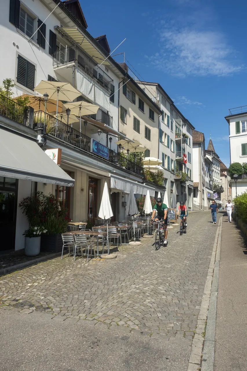
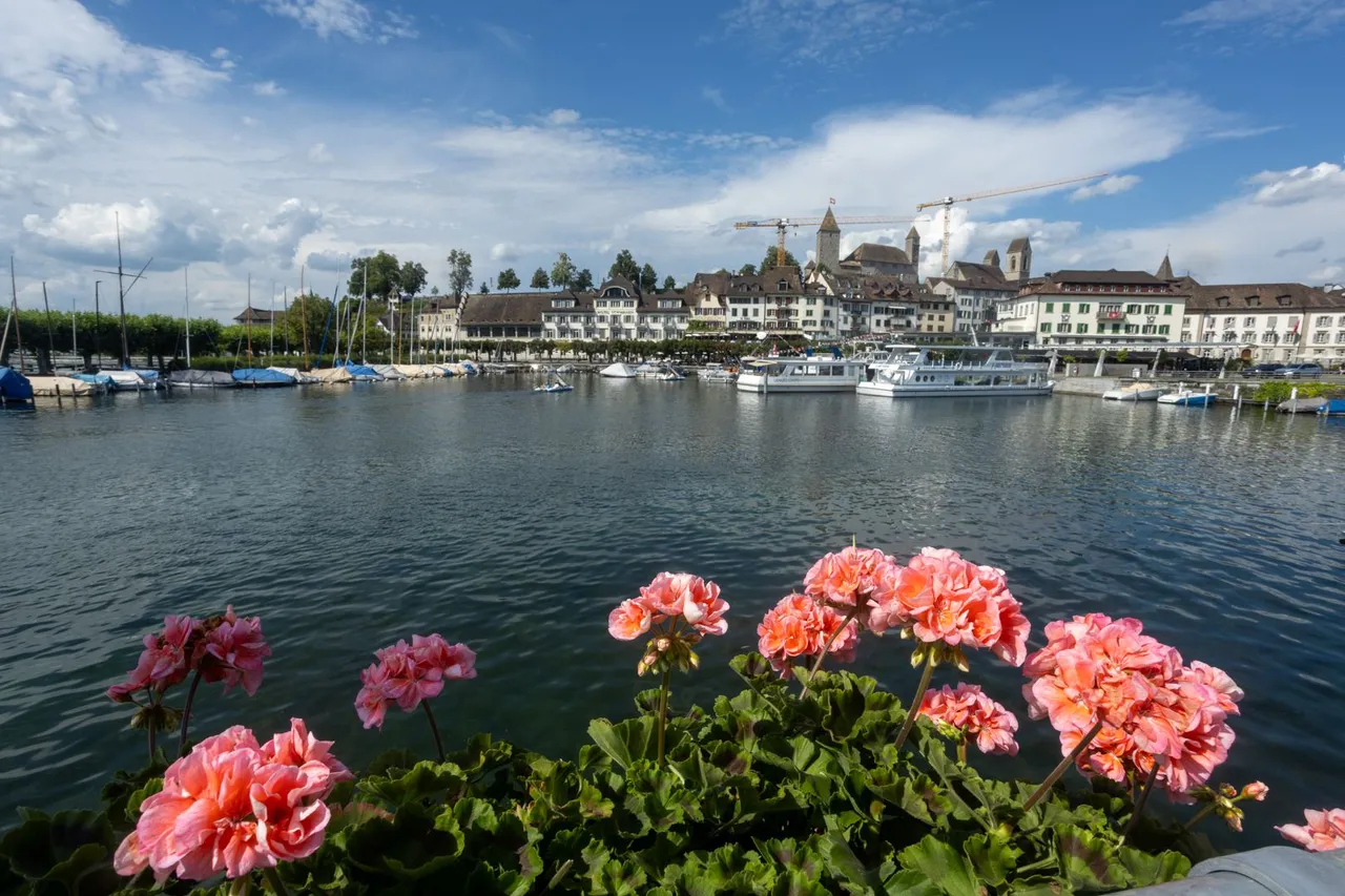
After freshening up, I continued on through another forest to the town of Rapperswile. Where I first replenished the food supply, which by that time was already at zero, and then went to the lake.
Po osvěžení jsem pokračoval dále přes další les až do města Rapperswile. Kde jsem nejprve doplnil zásoby potravin, které tou dobou byli již na nule a poté zamířil k jezeru.
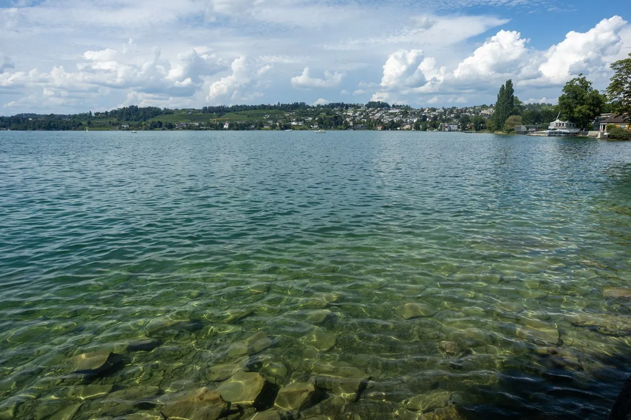
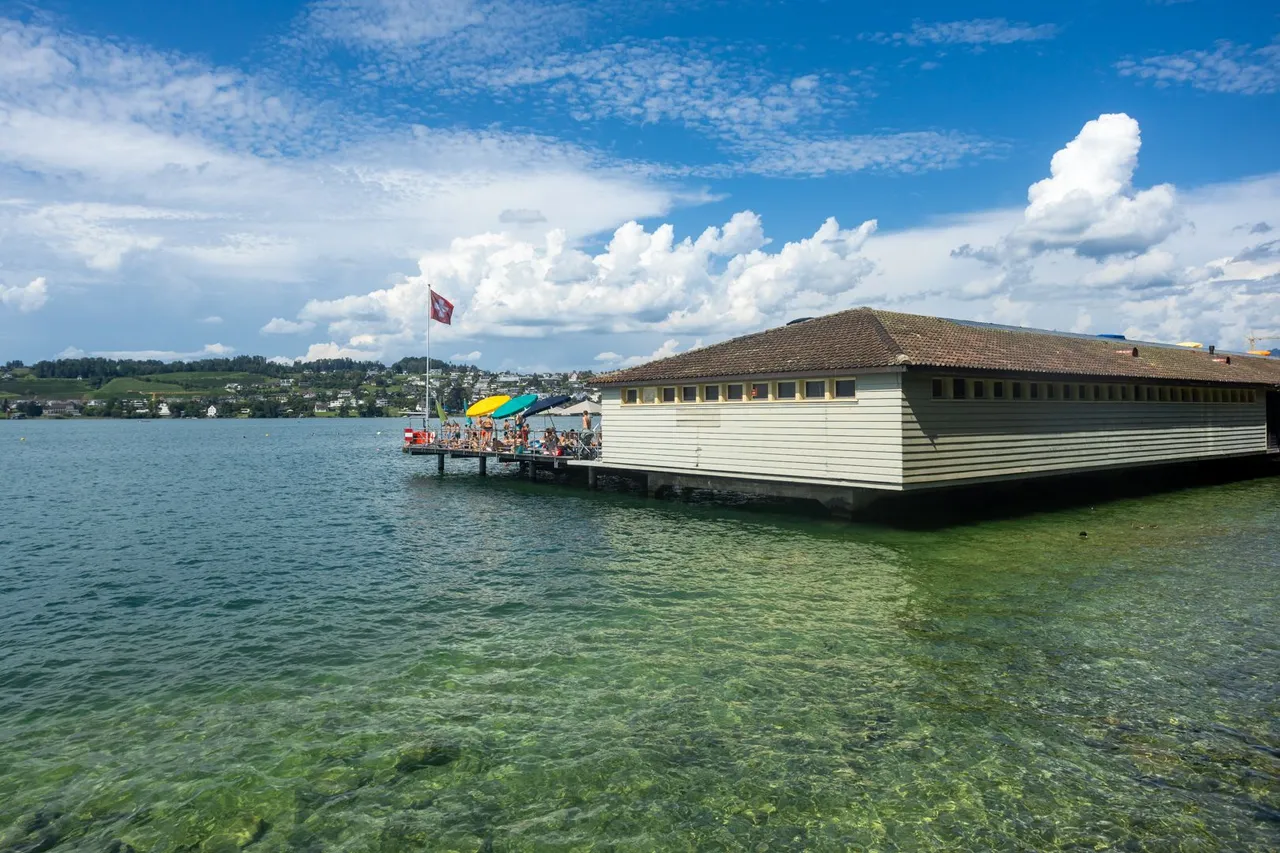
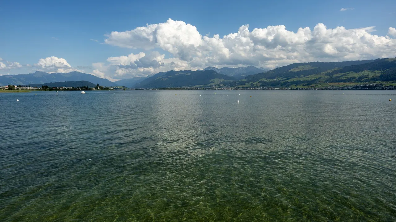
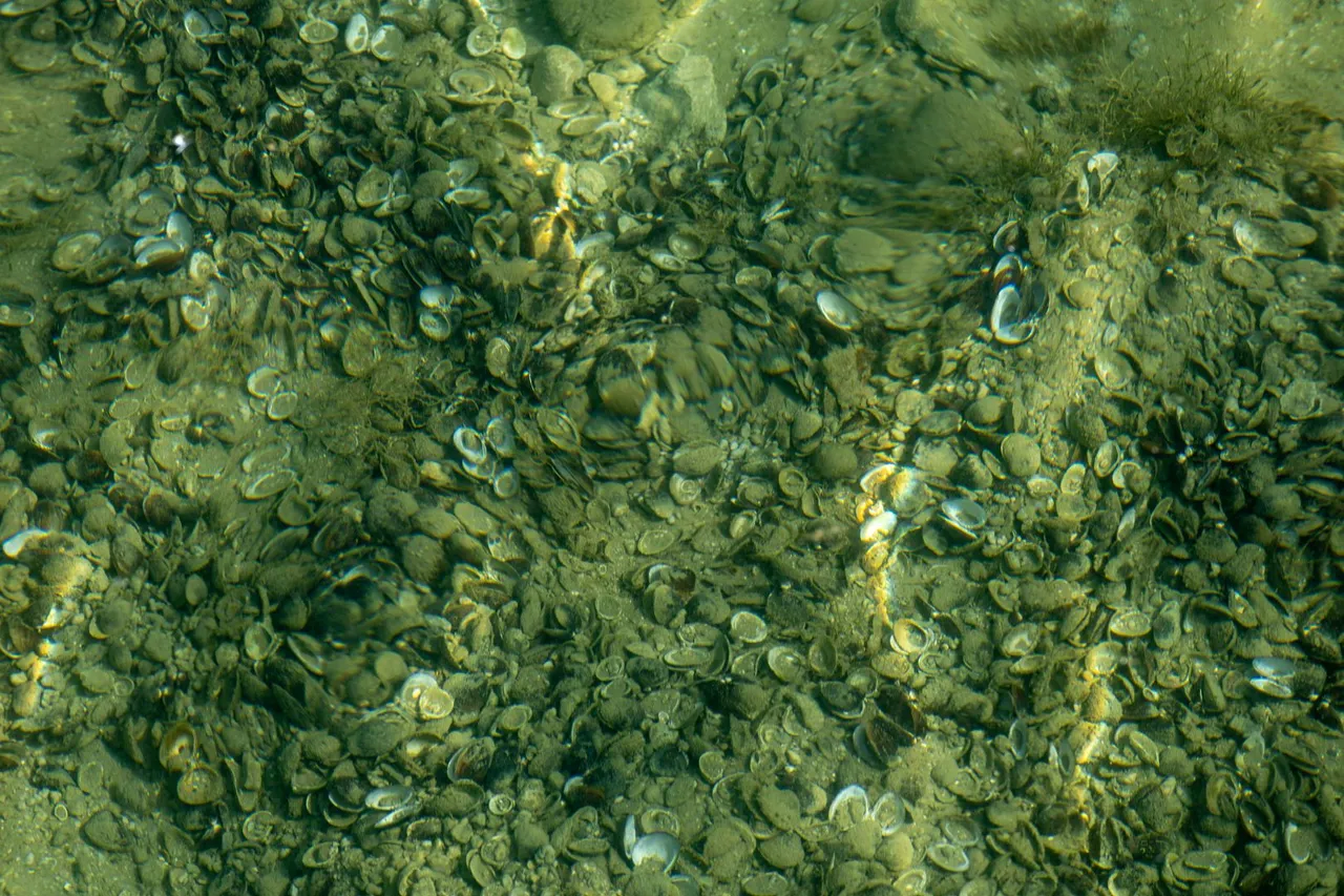
As soon as I got to Lake Curych, I started looking for a place to swim because it was 29 degrees Celsius in the shade. I expected cold water, but the opposite was true. The water was perfect for a bath. I later found out thanks to the lake spa that the water is 26 degrees.
Jakmile jsem se dostal k Curyšskému jezeru, začal jsem hledat místo kde bych se mohl vykoupat, protože bylo 29 stupňů Celsia ve stínu. Čekal jsem chladnou vodu, ale opak byl pravdou. Voda byla perfektní na koupel. Později jsem zjistil díky plovárně, že voda má 26 stupňů.
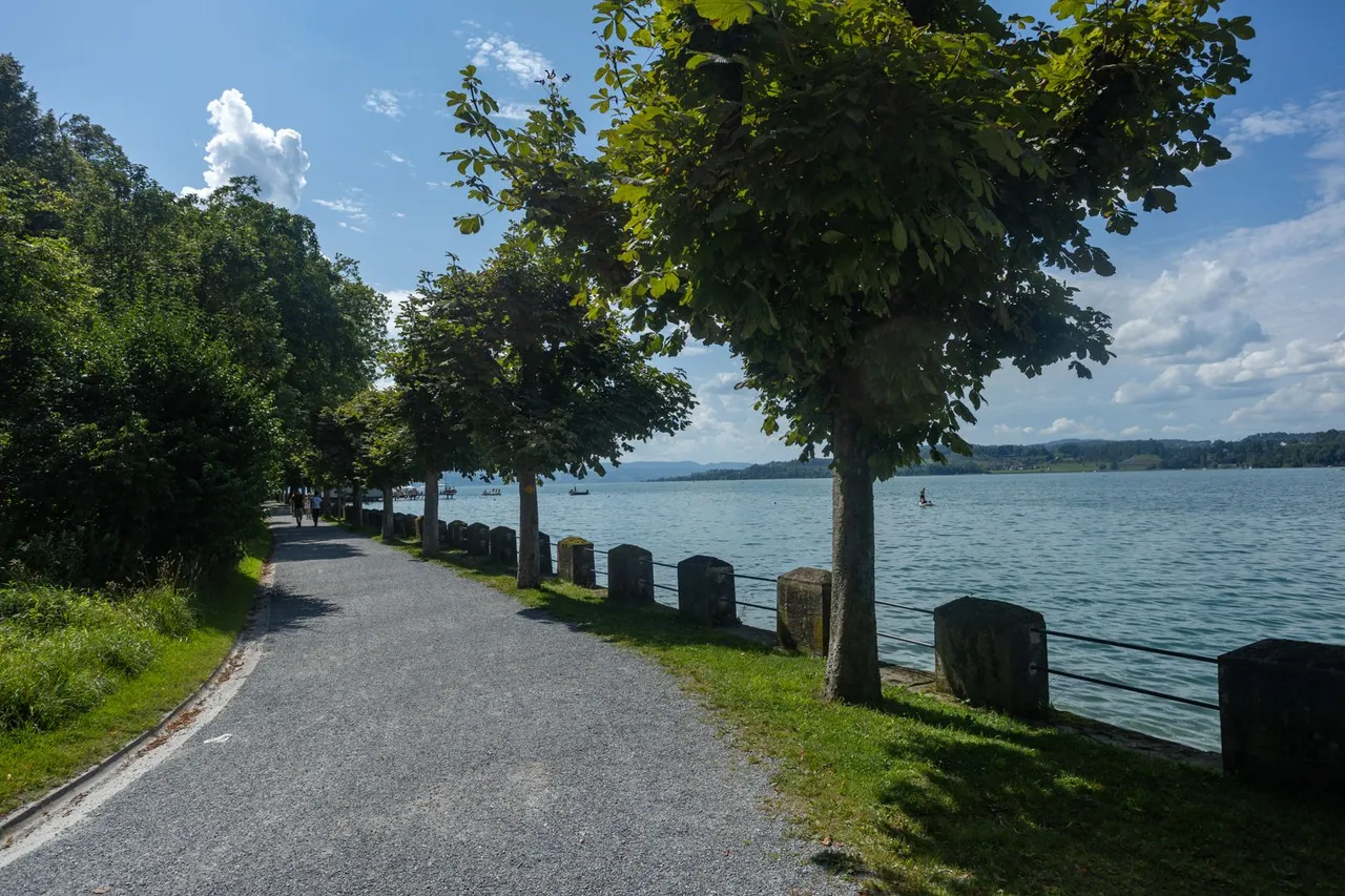
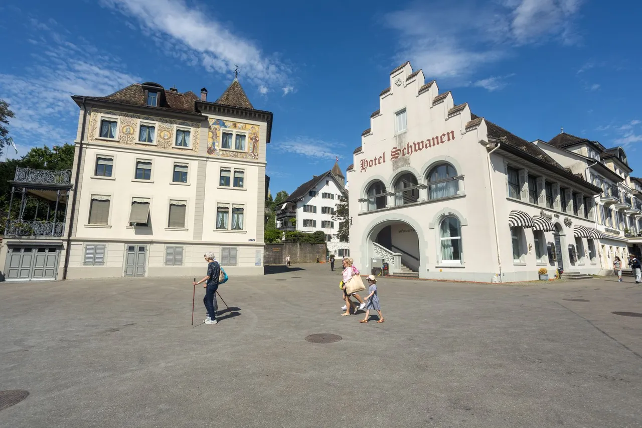
Around the coast I reached the old part of the city, which I quickly passed and continued on, because I had no idea where it would be possible to spend the night.
Kolem pobřeží jsem se dostal do staré části města, kterou jsem rychle proběhl a pokračoval dále, protože jsem netušil kde se bude dát dále přenocovat.
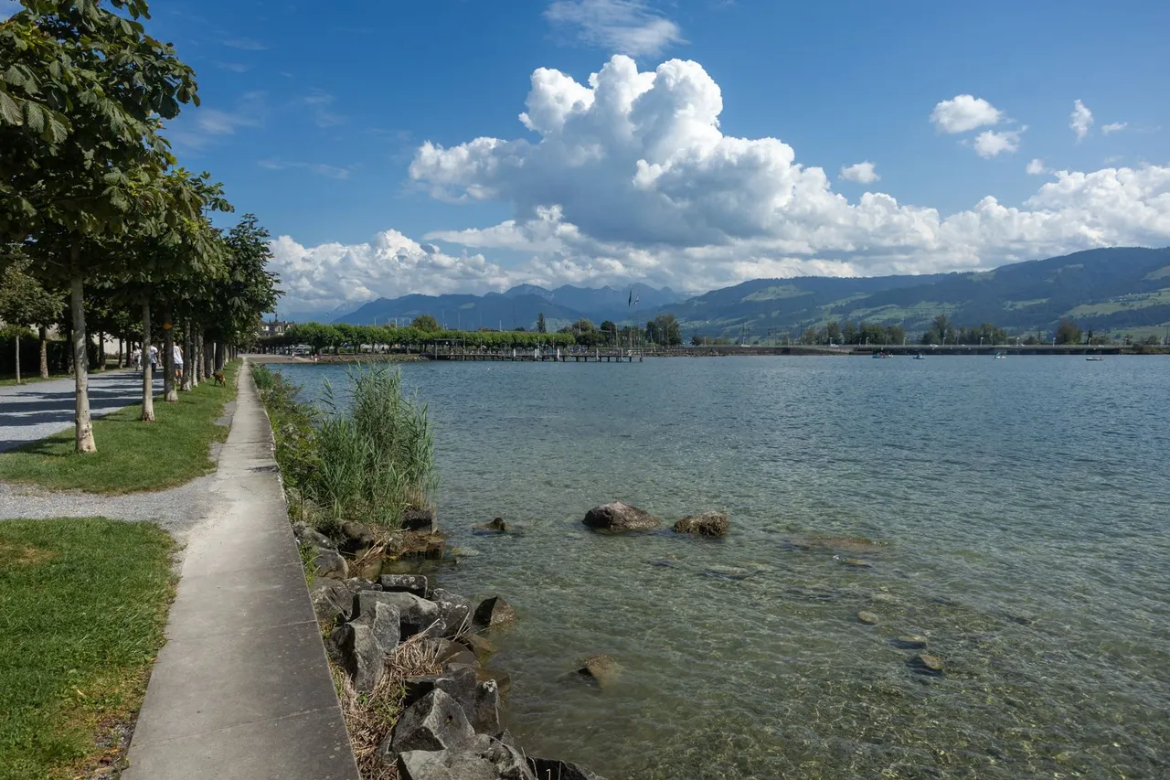
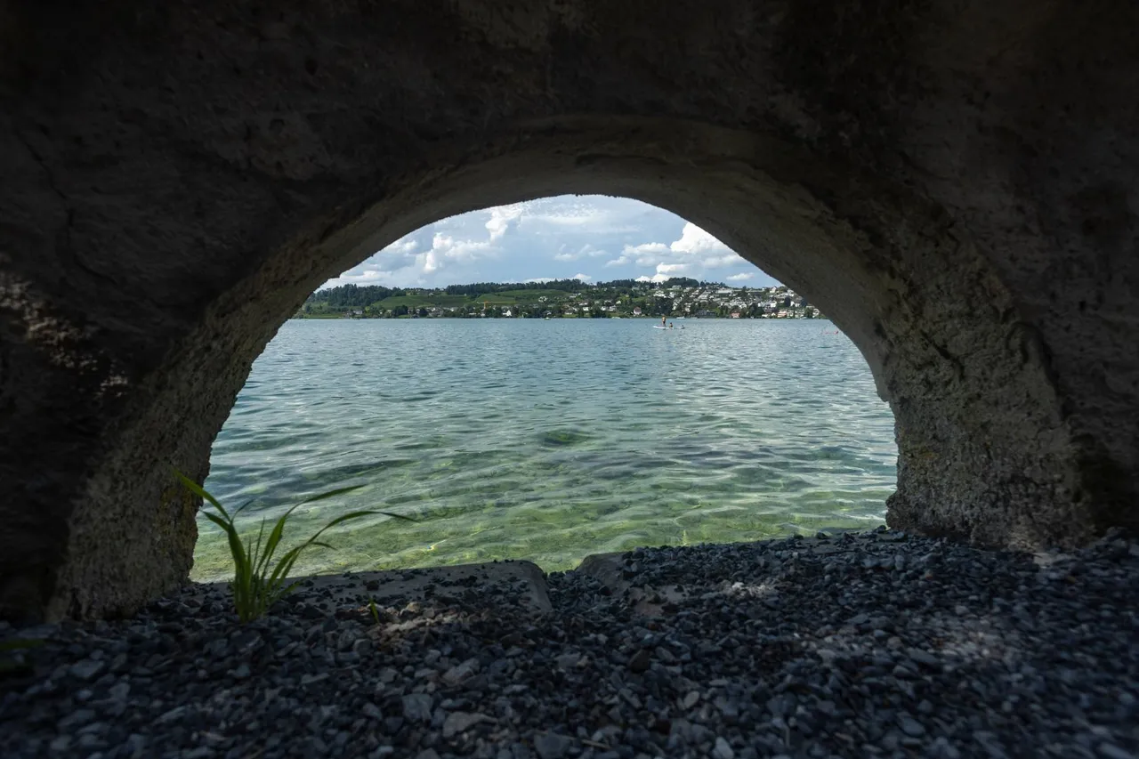
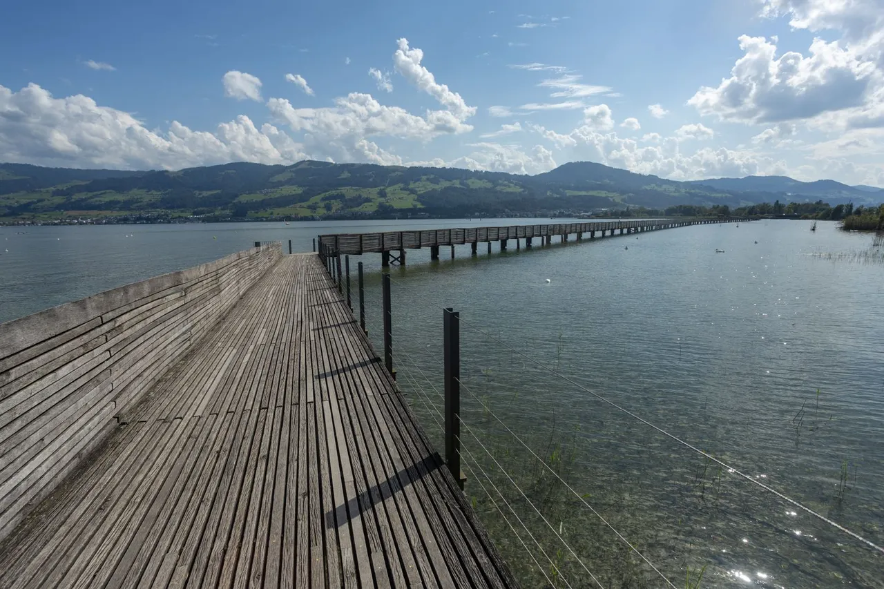
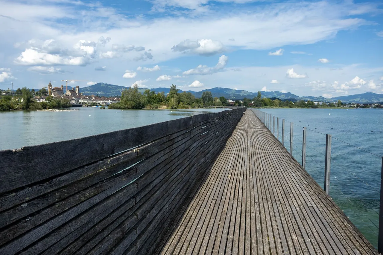
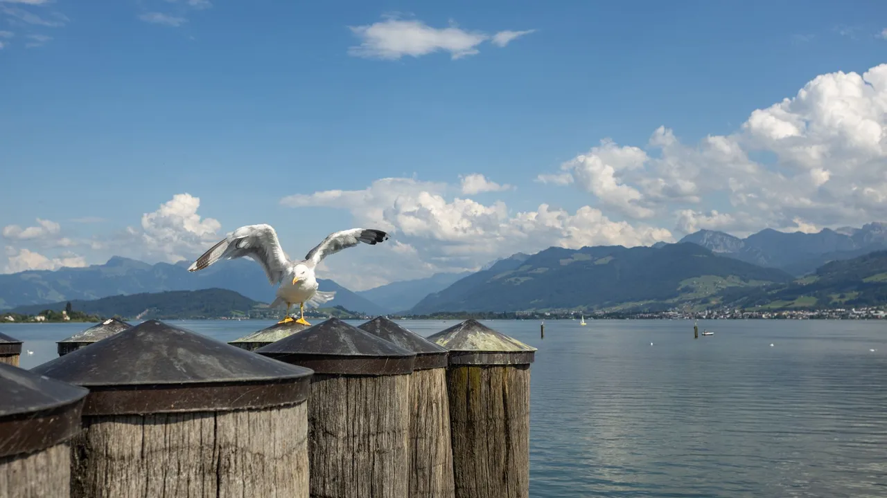
Next, I had to cross the lake. That is, the road between two lakes Obersee and Zürichsee. First, the trail leads over a wooden footbridge from where there was a great view of the surroundings and the local wild animals that live in the lakes.
Dále mě čekala cesta přes jezero. Tedy cesta mezi dvěma jezery Obersee a Zürichsee. Nejprve stezka vede po dřevěné lávce odkud byl skvělý výhled do okolí i na místní divoké zvířectvo co z jezer žije.
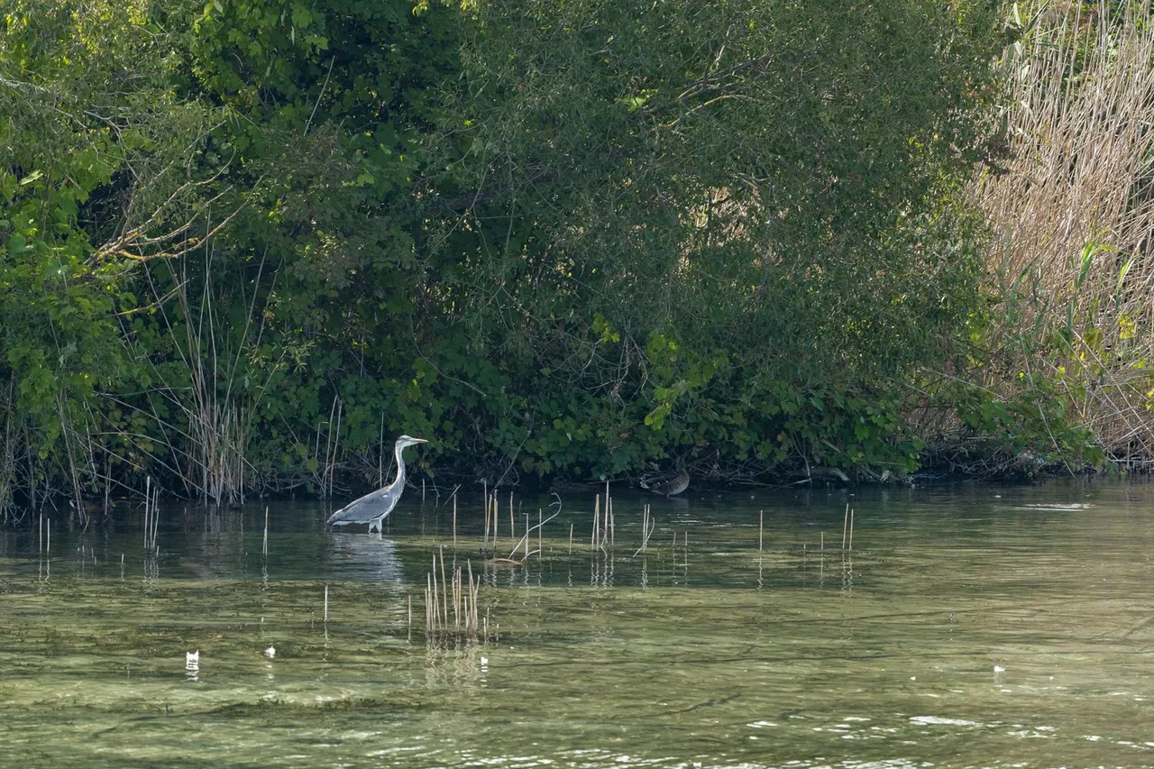
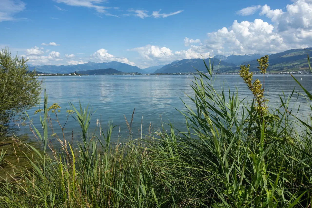
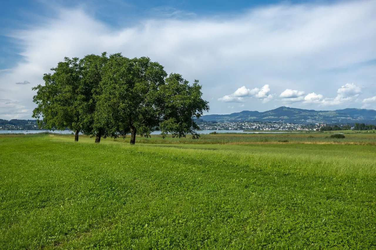
On the other hand, the area around the lakes is completely different from the side I came from. There is more marshland pasture.
Na druhé straně je oblast kolem jezer naprosto odlišná než na straně odkud jsem přišel. Je zde více pastvin a močálů.
This brought me to the town of Pfäffikon where I made the huge mistake of not refilling my water. And I only had one liter for the steep climb and the night before.
Tím jsem se dostal do města Pfäffikon, kde jsem udělal ohromnou chybu, že jsem nedoplnil vodu. A měl jsem pouze jeden litr na prudké stoupání a noc přede mnou.
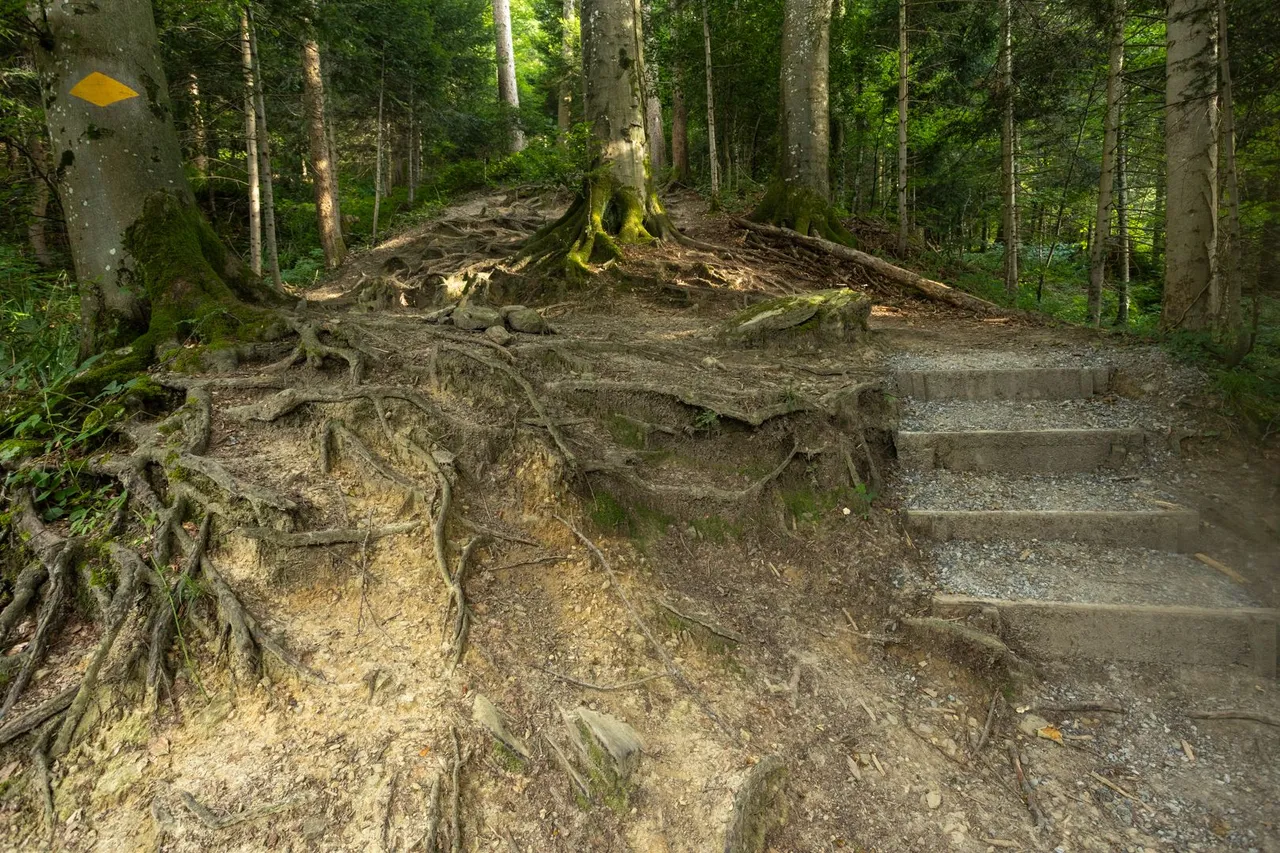
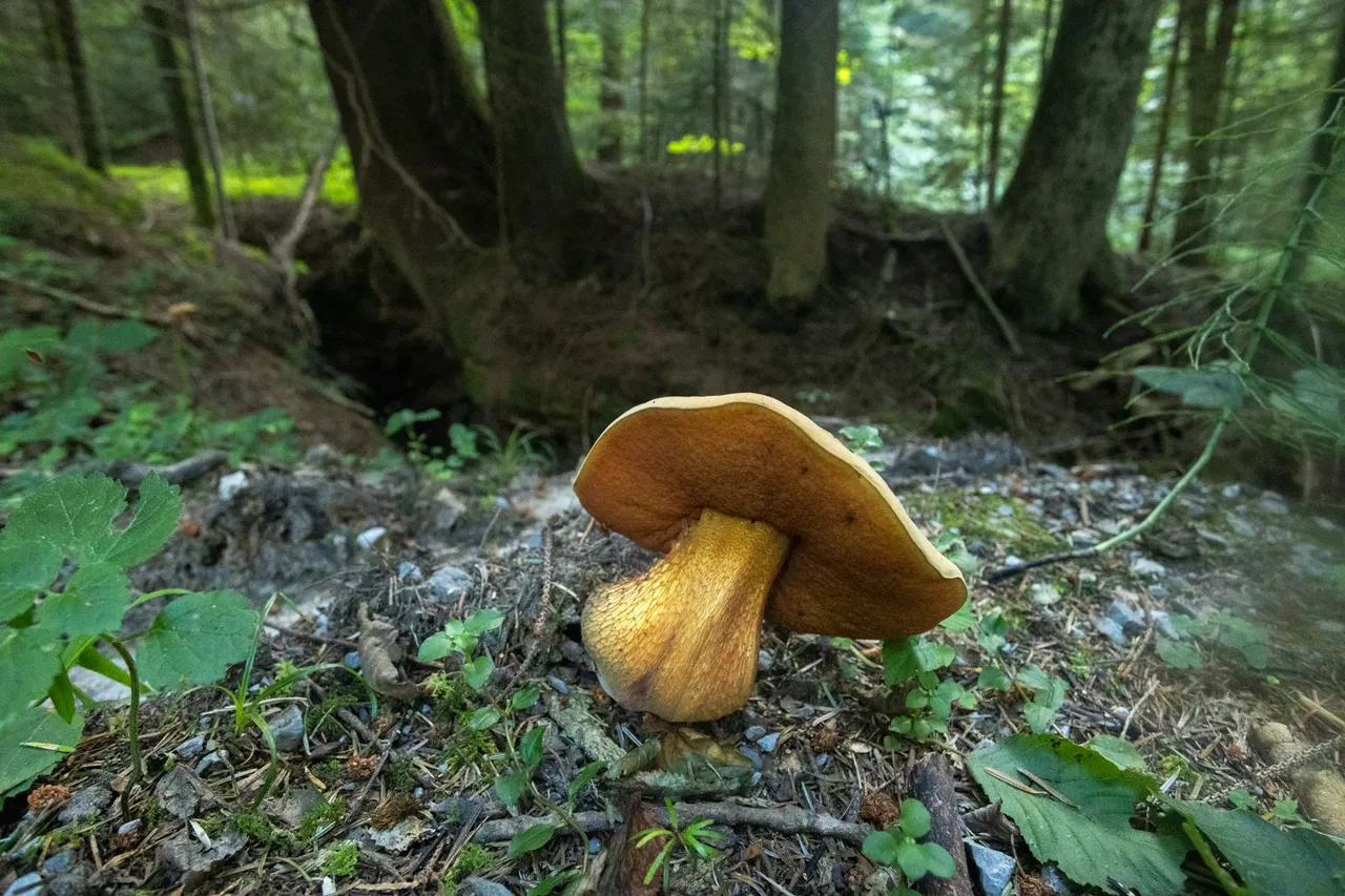
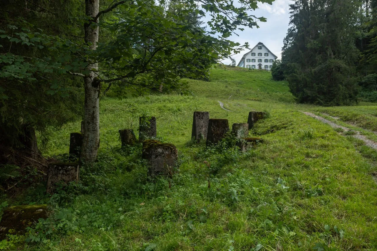
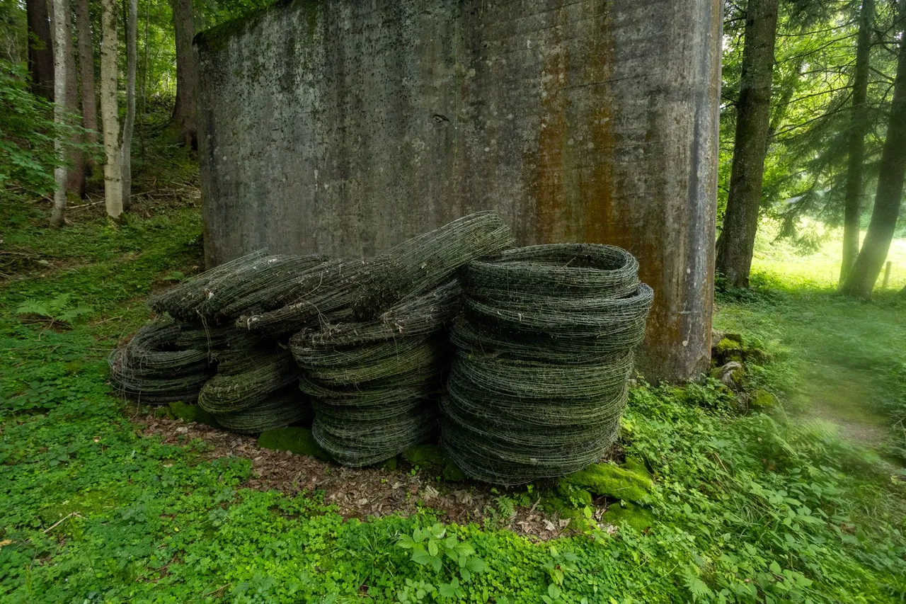
On the way up the hill I met all kinds of things. Landscape views, a path through roots, huge mushrooms, or fortifications from the Second World War that are still ready for use.
Cestou do kopce jsem potkal všechno možné. Výhledy do krajiny, cestu přes kořeny, obrovské hřiby, nebo opevnění z druhé světové války, které je stále připraveno k použití.
So I got to the pass, which is called the Etzelpass and is at an altitude of 950 meters. Which was 500 meters elevation gain from the lake.
Tak jsem se dostal do sedla, které se jmenuje Etzelpass a leží v nadmořské výšce 950 metrů. Což bylo od jezera 500 metrů převýšení.
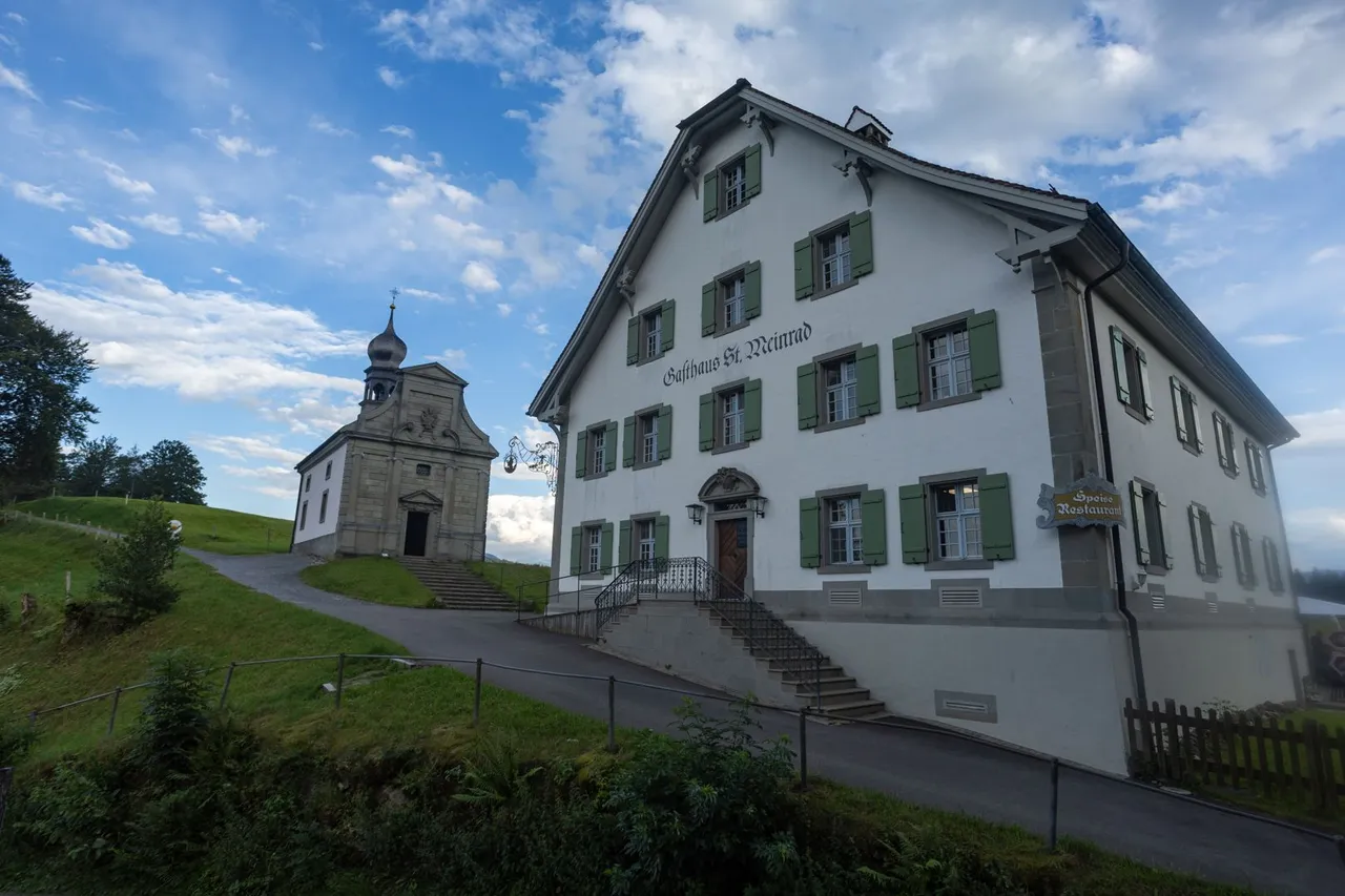
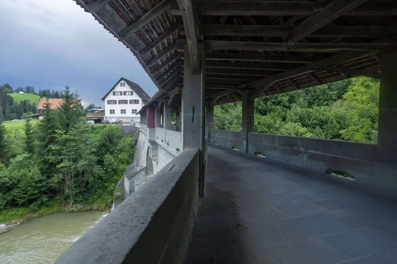
It was quite lively here in the local restaurant, so I decided to continue on to Tüfelsbrugg, where the source of drinking water was marked on the map. I filled the water here to the brim. I looked at the historic bridge with a roof. And I set out to find a place to spend the night. Which had to be quick because a heavy storm was approaching. I finally found one near a woodshed sheltered by a grove of young willows. Which in the end sufficiently protected my shelter from strong wind and rain.
Bylo zde dost živo v místní restauraci a tak jsem se rozhodl pokračovat dále do místa Tüfelsbrugg, kde byl v mapě značen zdroj pitné vody. Doplnil jsem zde vodu do plna. Prohlédl jsem si historický most se střechou. A vydal se hledat místo na přenocování. Což muselo být rychle, protože se blížila silná bouřka. Nakonec jsem jedno našel u skladu dřeva chráněného mladým vrbovým hájem. Což nakonec dostatečně ochránilo můj přístřešek, před silným větrem a deštěm.
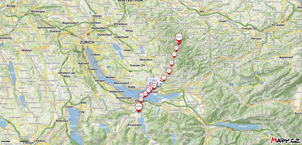
Route from Hörnli (1133m) to Tüfelsbrugg
| Kilometers walked | Meters Up | Meters Down |
|---|---|---|
| 917.5 Km | 14708 meters | 14042 meters |
Links to the last 5 articles
Jan Hus Trail / Jakobsweg - From Ulm to Äpfingen (GER) / Day 18
Jan Hus Trail / Jakobsweg - From Äpfingen to Bad Waldsee (GER) / Day 19
Jan Hus Trail / Jakobsweg - From Bad Waldsee to Unterteuringen (GER) / Day 20
Jan Hus Trail / Jakobsweg - From Unterteuringen (GER) to Hugelshofen (CH) / Day 21
Jakobsweg - From Hugelshofen to Hörnli (1133m) (CH) / Day 22