This short but waymarked trail is one of the official hiking trails in the Thayatal National Park, a transnational National Park that is partly in Austria and partly in Czech Republic.
The walk starts near Merkersdorf, a catastral community of Hardegg, a very small town located at the border of the Lower Austrian quarters "Waldviertel" and "Weinviertel".
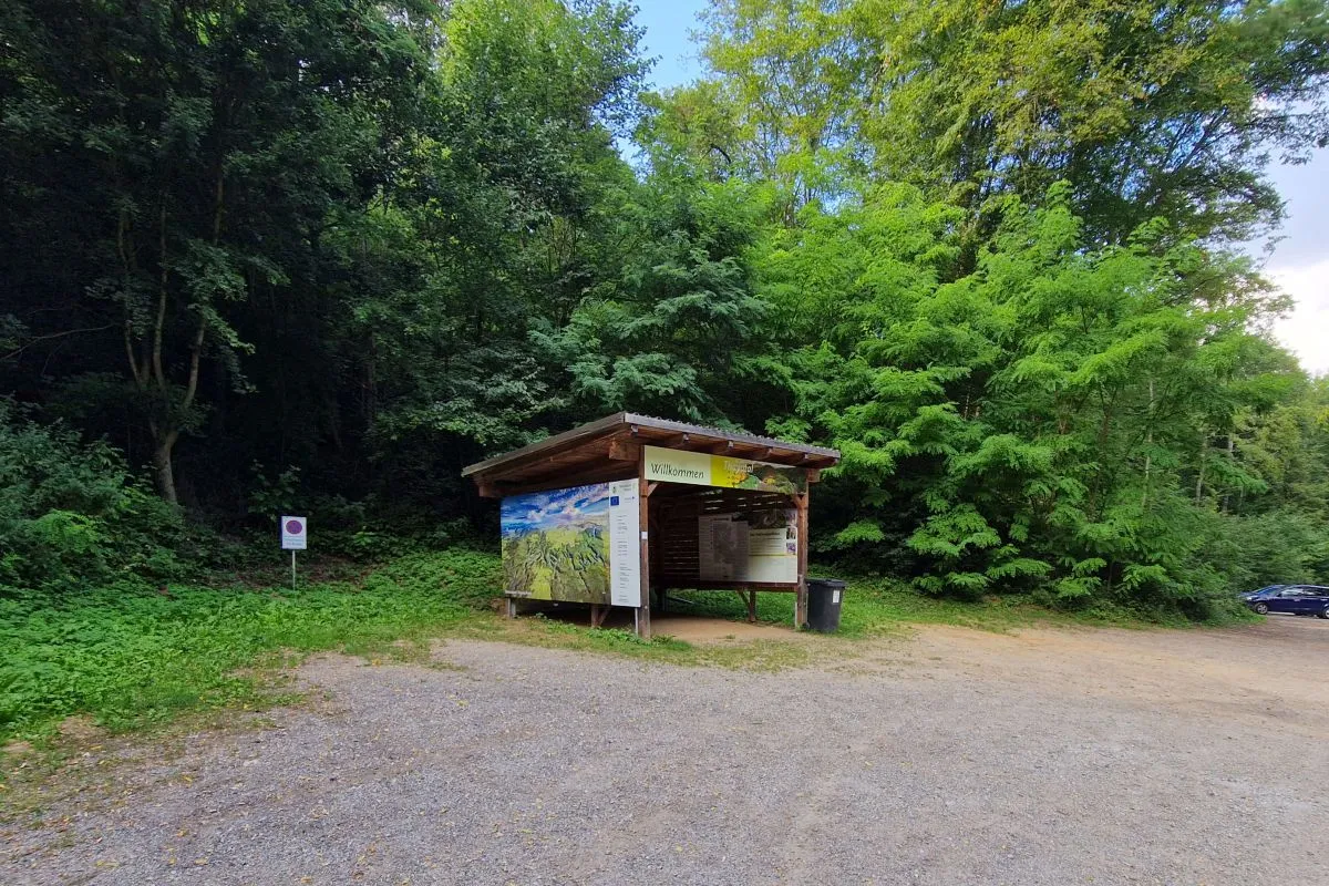
We start at the parking of Burgruine Kaja (the remains of Kaja castle) at the end of the L1042 main road.
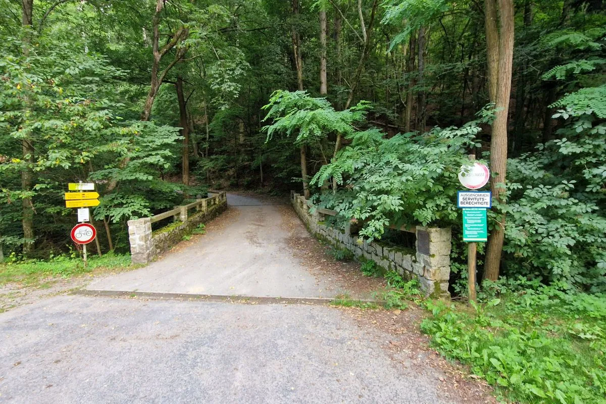
From there you cross a stream called Kirchtalbach. Please read the instructions on the information board carefully because in National Parks stricter rules are applicable than in ordinary woods.
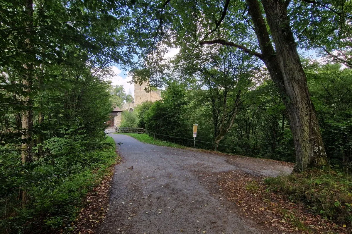
Before the castle you have to turn right.
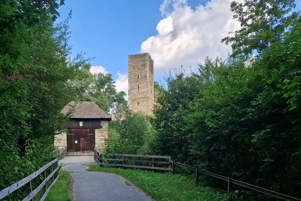
Of course you can walk to the castle's gate to see a little bit more of the castle. The castle has been built before 1196. It is only open at weekends from May to October. Further information can be found here.
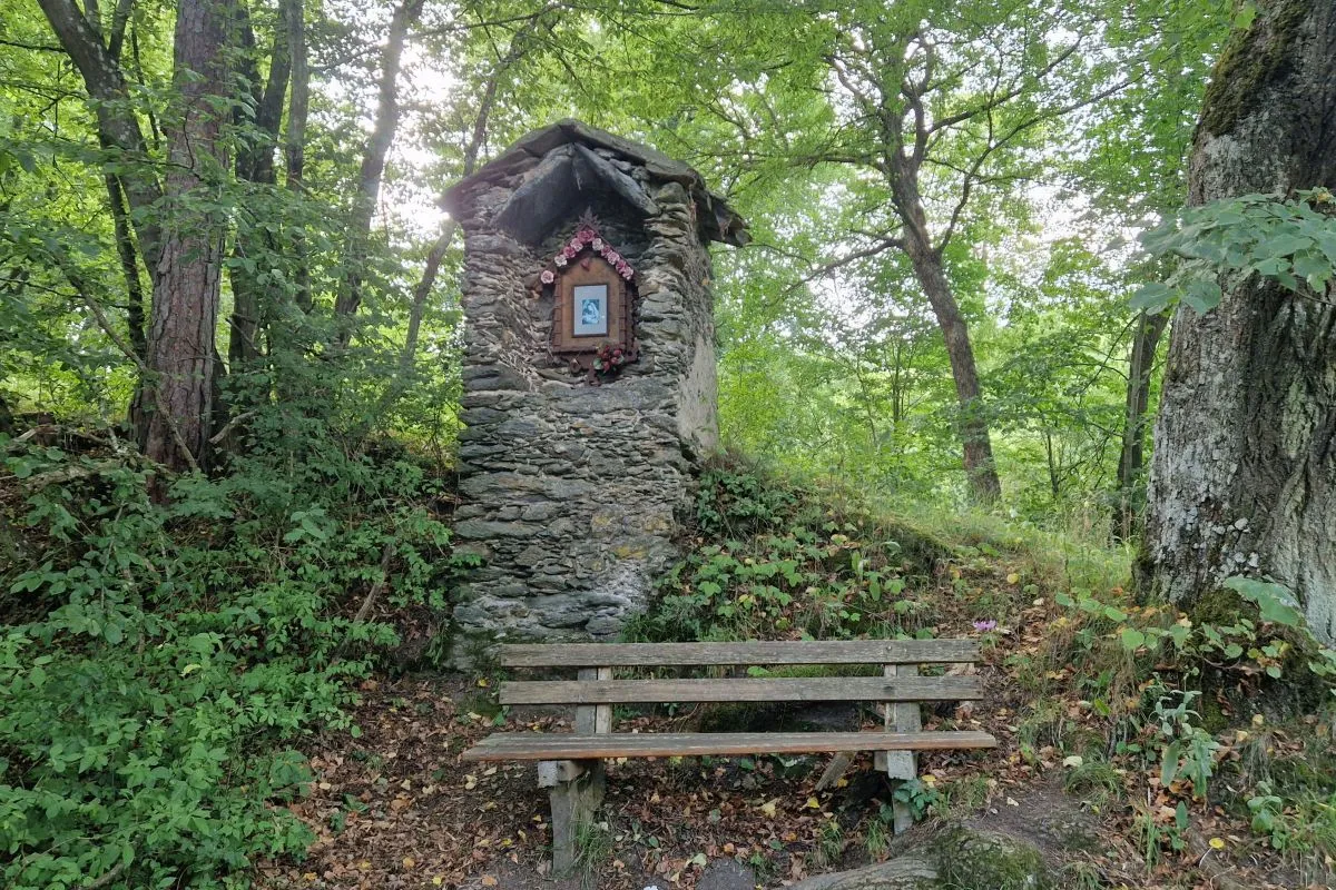
On your way around the castle you pass this wayside shrine.
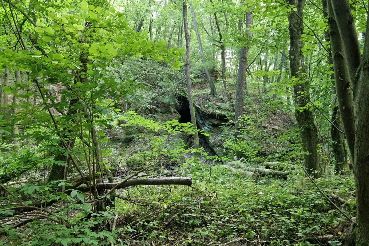
After a short descent you will see a cave called "Kajahöhle" at your right hand side. In the "Kajabach", the stream between the path and the cave, very rare river crayfish can be found. These animals are protected and walking through the stream is strictly prohibited, so it is not possible to visit the cave.
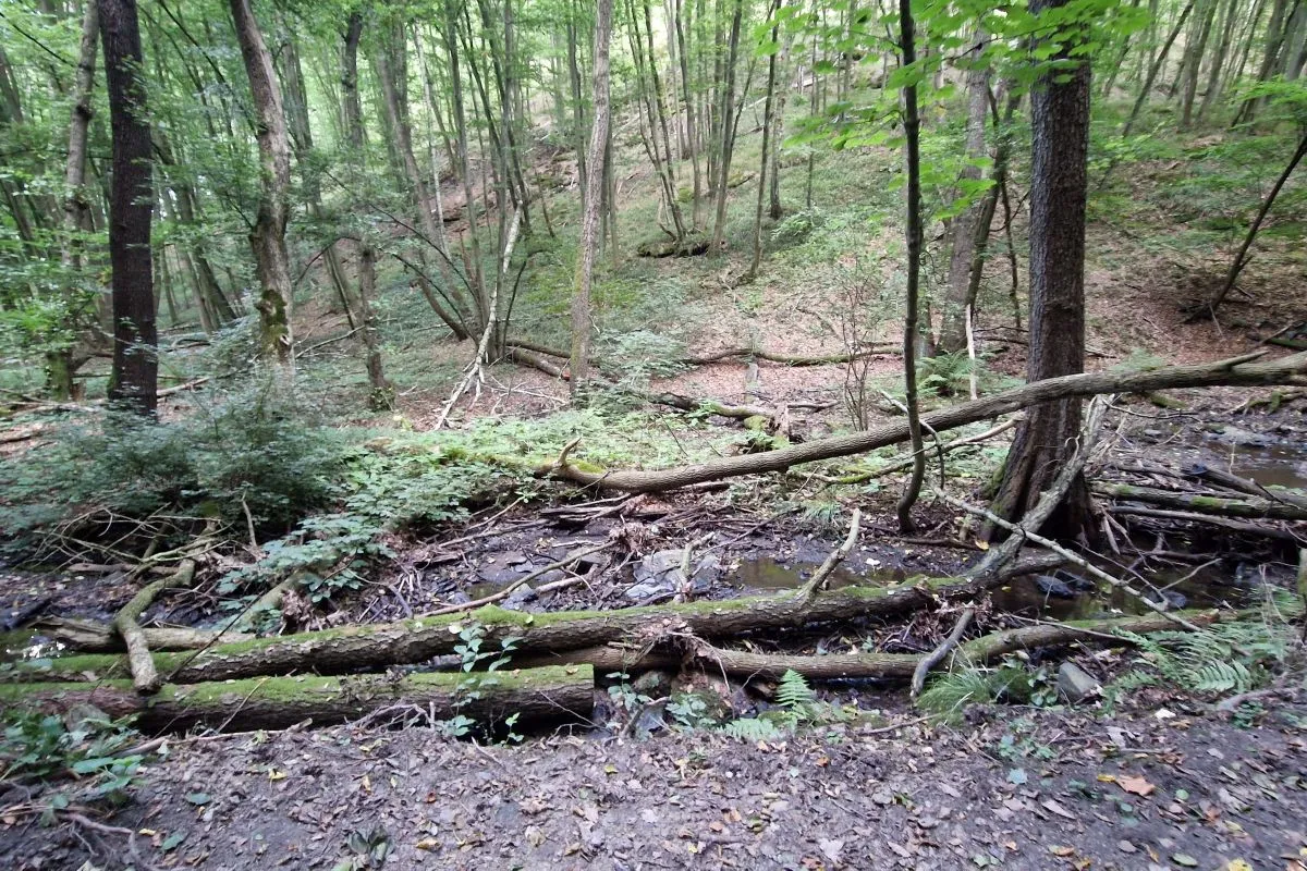
Since we are in a National Park, fallen dead trees are only removed when they are blocking official paths. However, you are not allowed to leave paths and dogs must be kept on a leash.
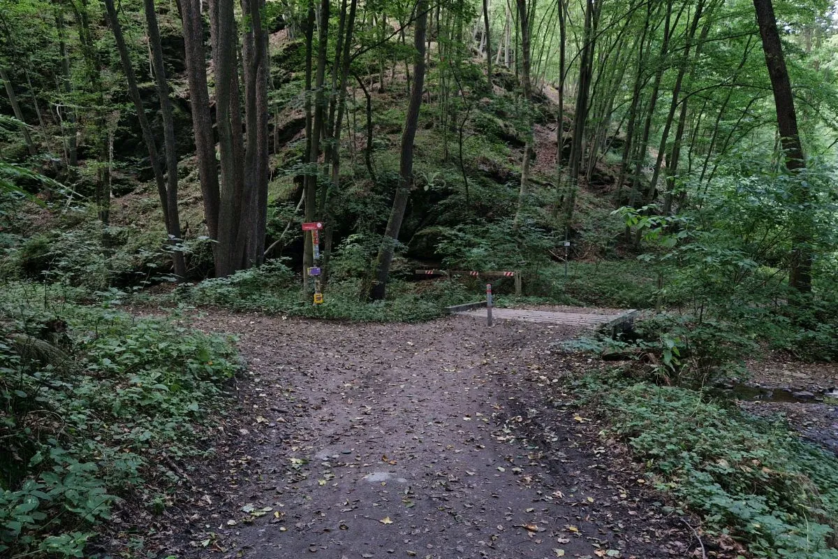
Right before the bridge over the Kajabach you have to turn left.
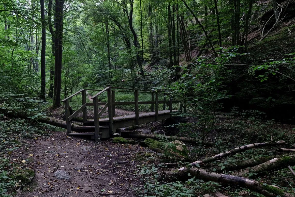
Then you walk alongside the Kirchtalbach and cross it twice.
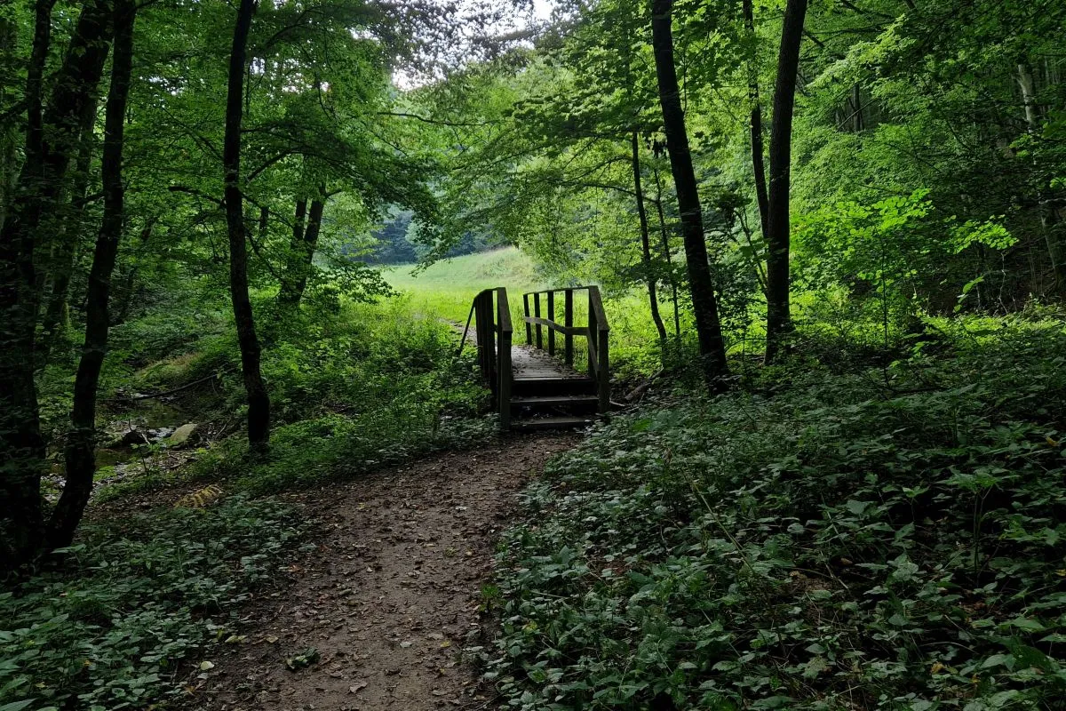
Right after walking over the second bridge…
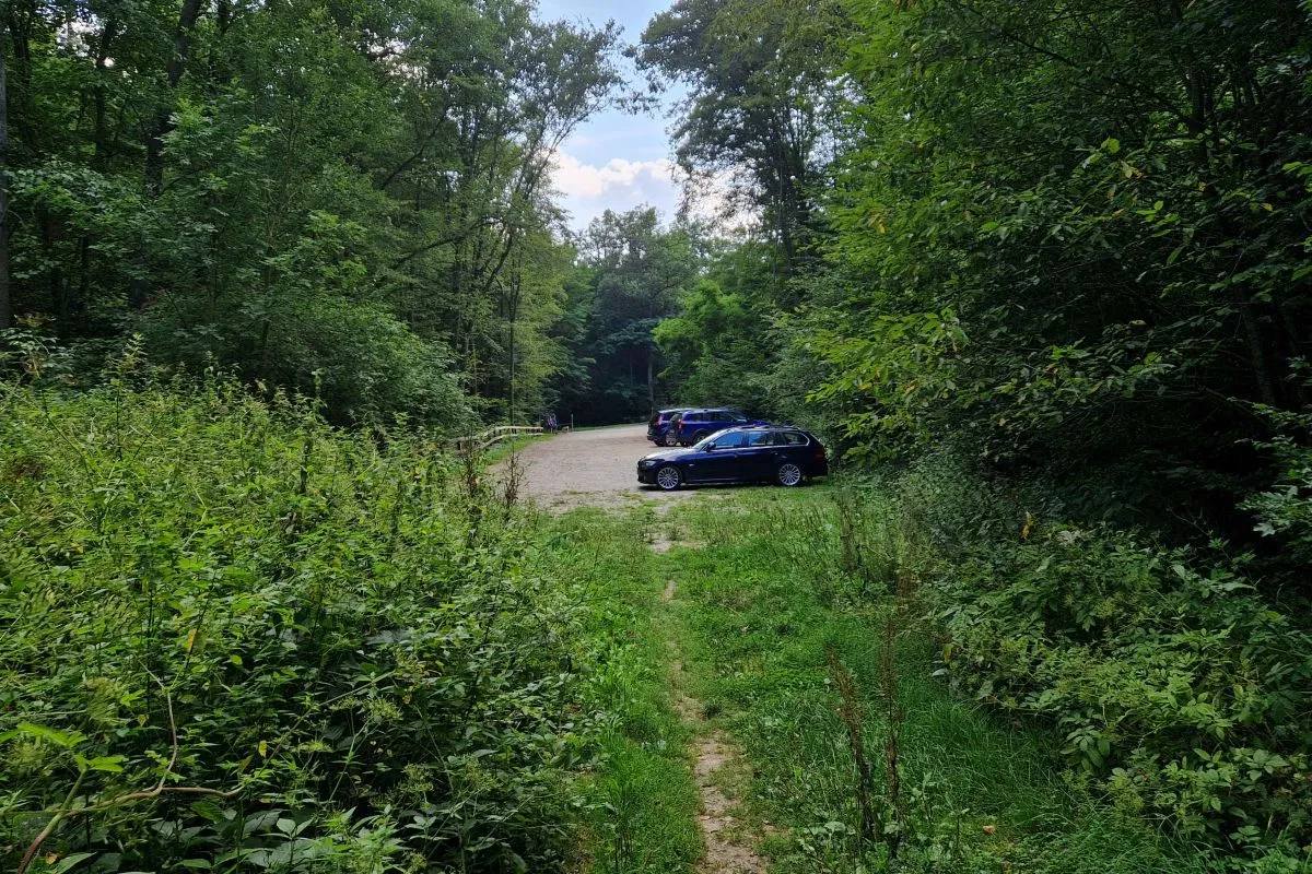
you come back to the parking.
The trail has a length of 1.1 km, so you should be able to walk it in 20 minutes. Please consider that you will need some time to watch animals and to take a look at the untouched nature and the medieval castle. So I guess you should at least calculate with 30-45 minutes, when the castle has opened even more.
A detailled description in German language with a map can be found on Weinbergwandern.
A GPS track can be downloaded here
The official description of the trail can be found on the website of the Thayatal National Park.