Neustift im Felde used to be an independent community until the 1960s. Since then, it is a catastral community of Kirchberg am Wagram in Lower Austria.
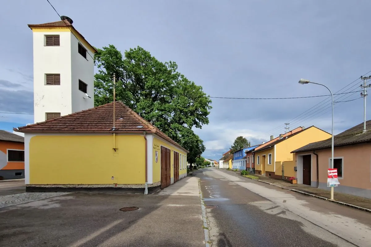
Today there is practically no infrastructure left in the center of the little village. All shops and the primary school have been closed after the community has been incorporated to Kirchberg.
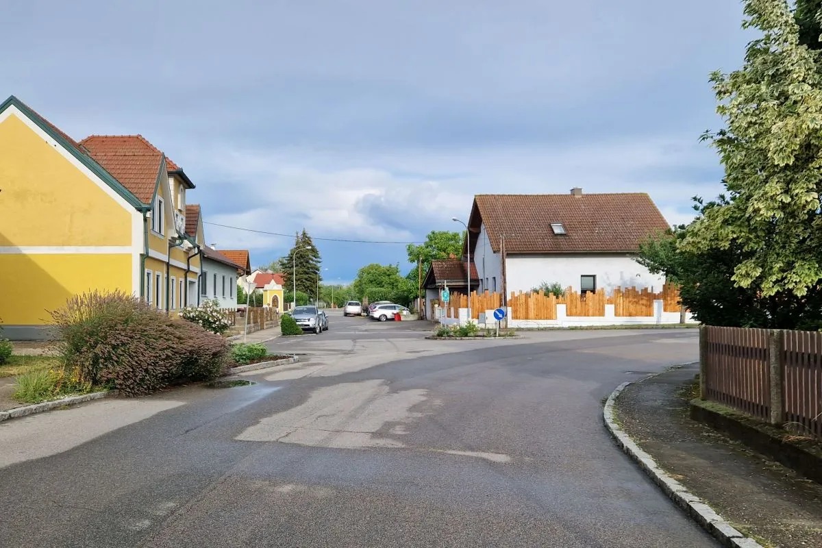
But Neustift has still some interesting places.
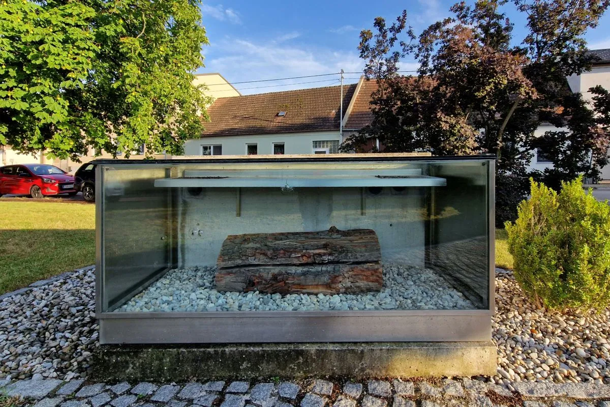
This walk starts at the "Fossil". This is part of a fossilized tree that has been found near the Haleberg in the year 1968. It has been found out that this tree is from the time around 7660 BC, so it is almost 9,700 years old.
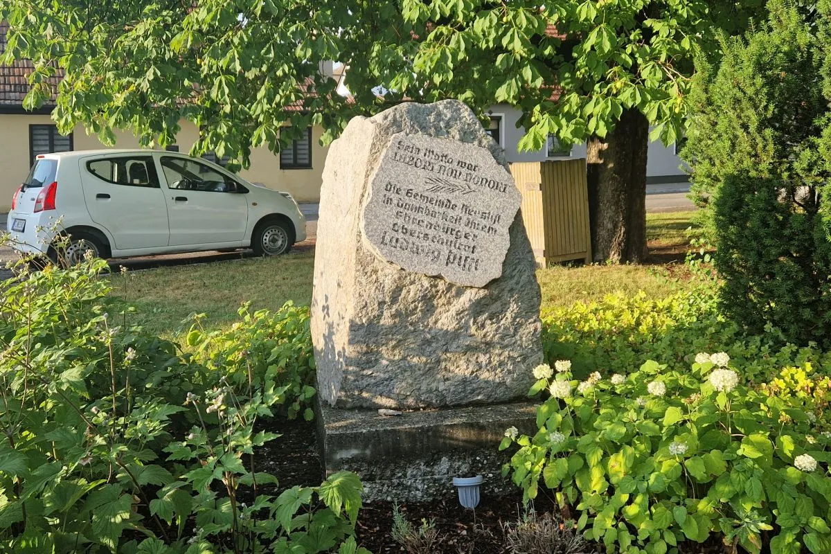
The place is named "Ludwig Piffl-Platz". This memorial stone also reminds of him. Ludwig Piffl has been the director of the primary school. He did a lot of research on the history of Neustift im Felde. In addition he has been ice age researcher. Although he has never studied relevant subjects at the University, he became an international reknown scientist in this field.
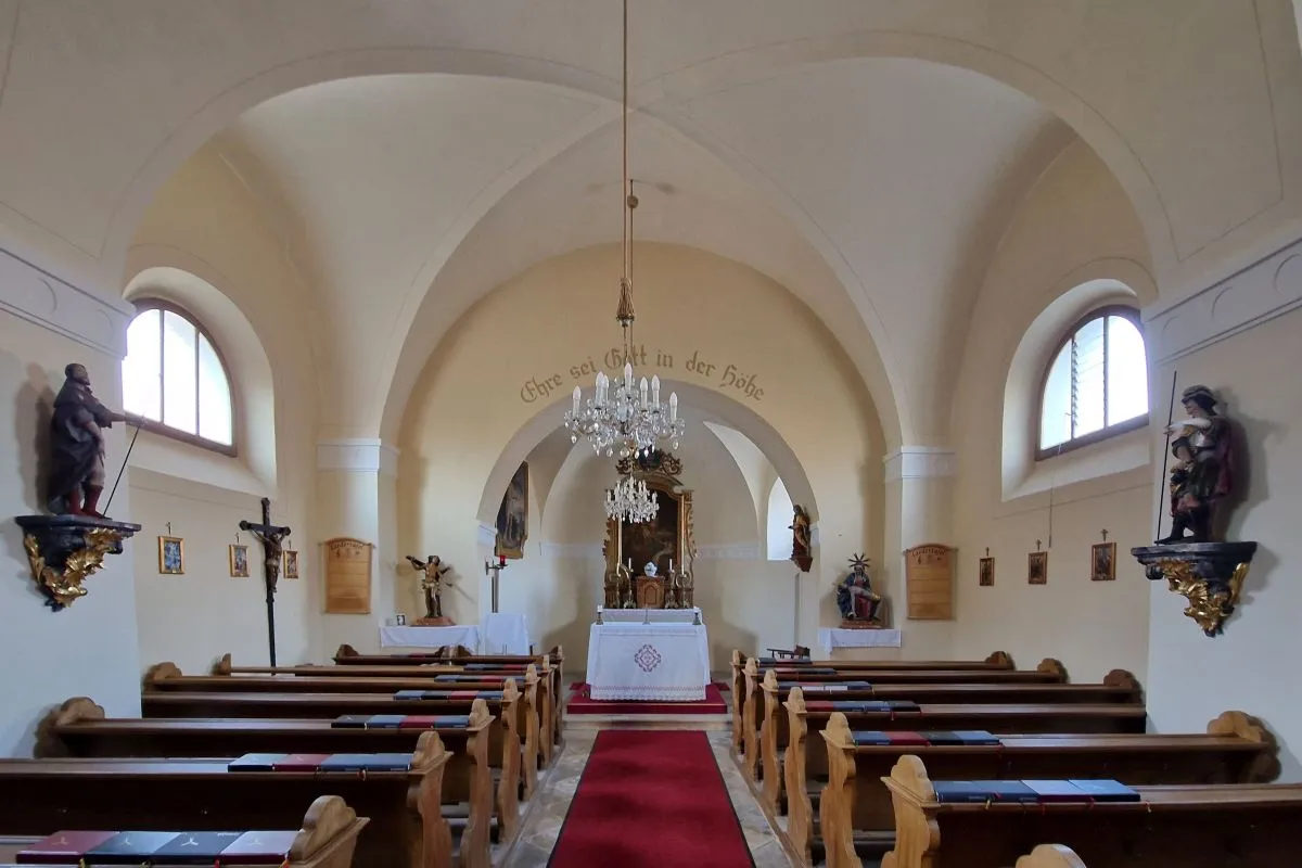
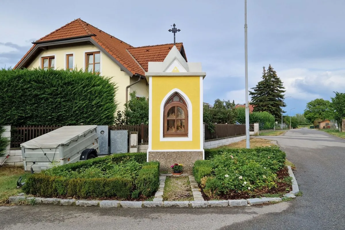
The chapel has been built in 1679. Neustift was first mentioned in 1318, maybe already in 1280. The village is a planned village. It has been built in a relatively safe area to resettle people of surrounding villages that often have been flooded by the nearby Danube and that do not exist anymore.
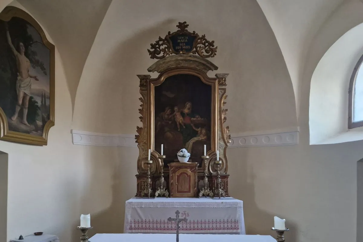
The chapel is consecrated to the Saints Sebastian, Fabian and Rochus.
Then you walk on the L45 main road in Eastern direction.
In the bend you walk straight ahead.
You pass the so called Berthiller-Kapelle that has been built in the 1950s by the Berthiller family to thank god for the homecoming of their son Leopold from World War II.. Leopold laster became the last mayor of Neustift.
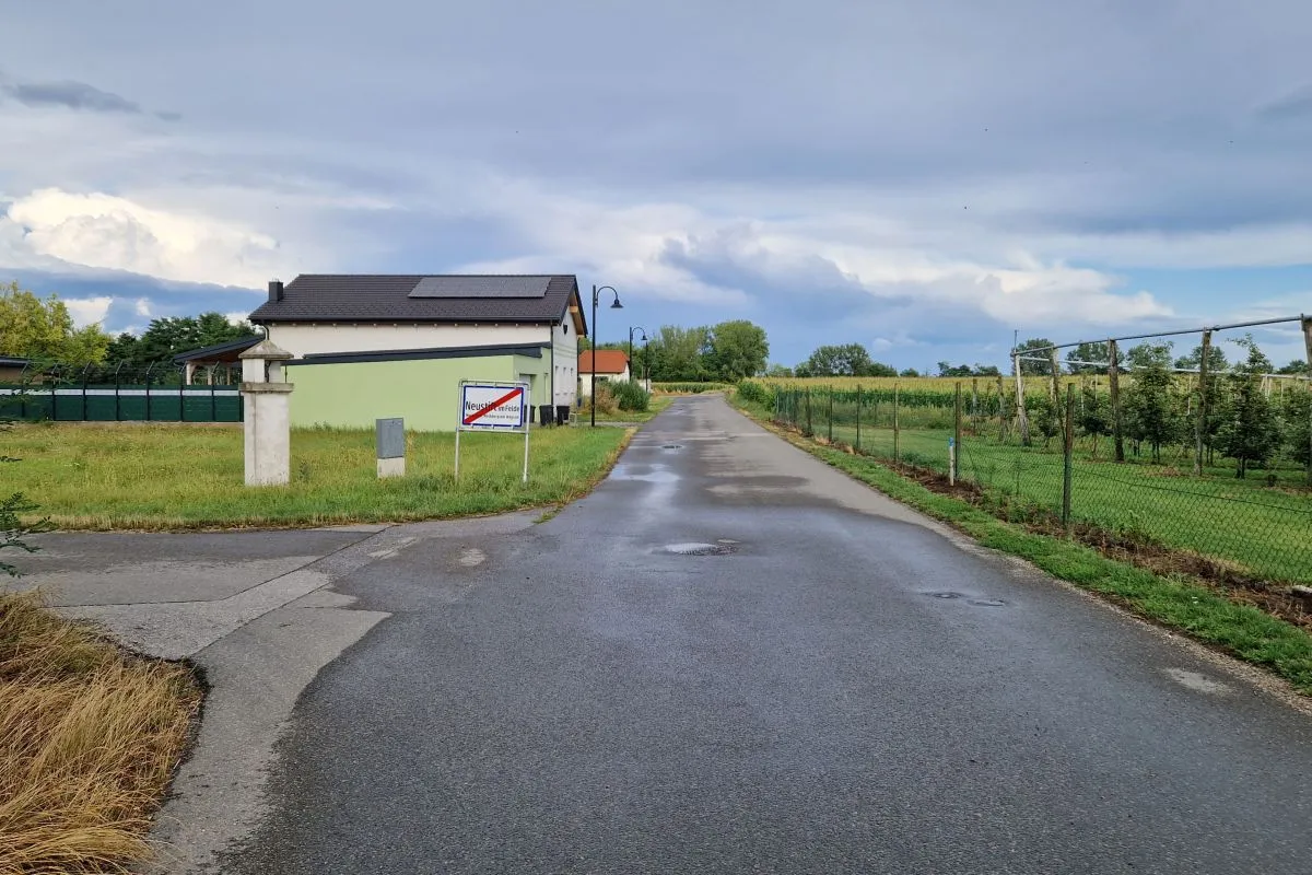
Then you leave the dwelling area. The road was formerly known as "Ochsenstraße" (Ox road). From pre-historic times to the Middle Ages this street has been part of one of the most important East-West-Routes in Central Europe.
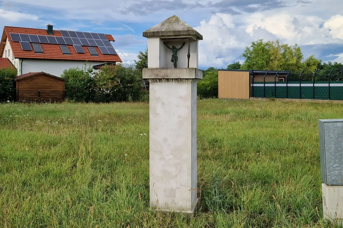
The Winkler-Kreuz is a wayside shrine that has been erected at the street to a village called Winkl and relocaed in 1961.
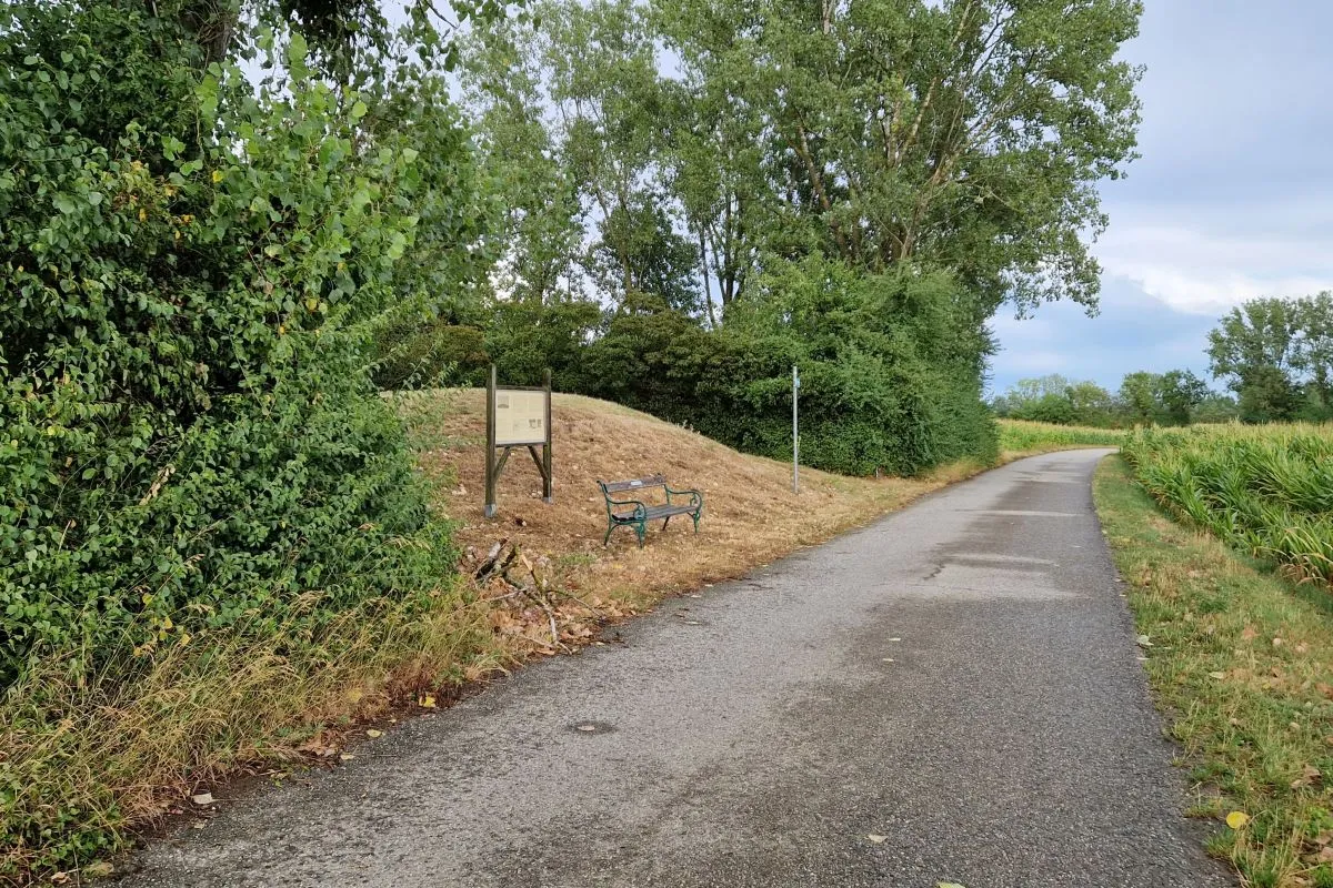
Finally you reach the "Haleberg". This is a tumulus erected in the time of the Hallstatt culture around 750 BC.
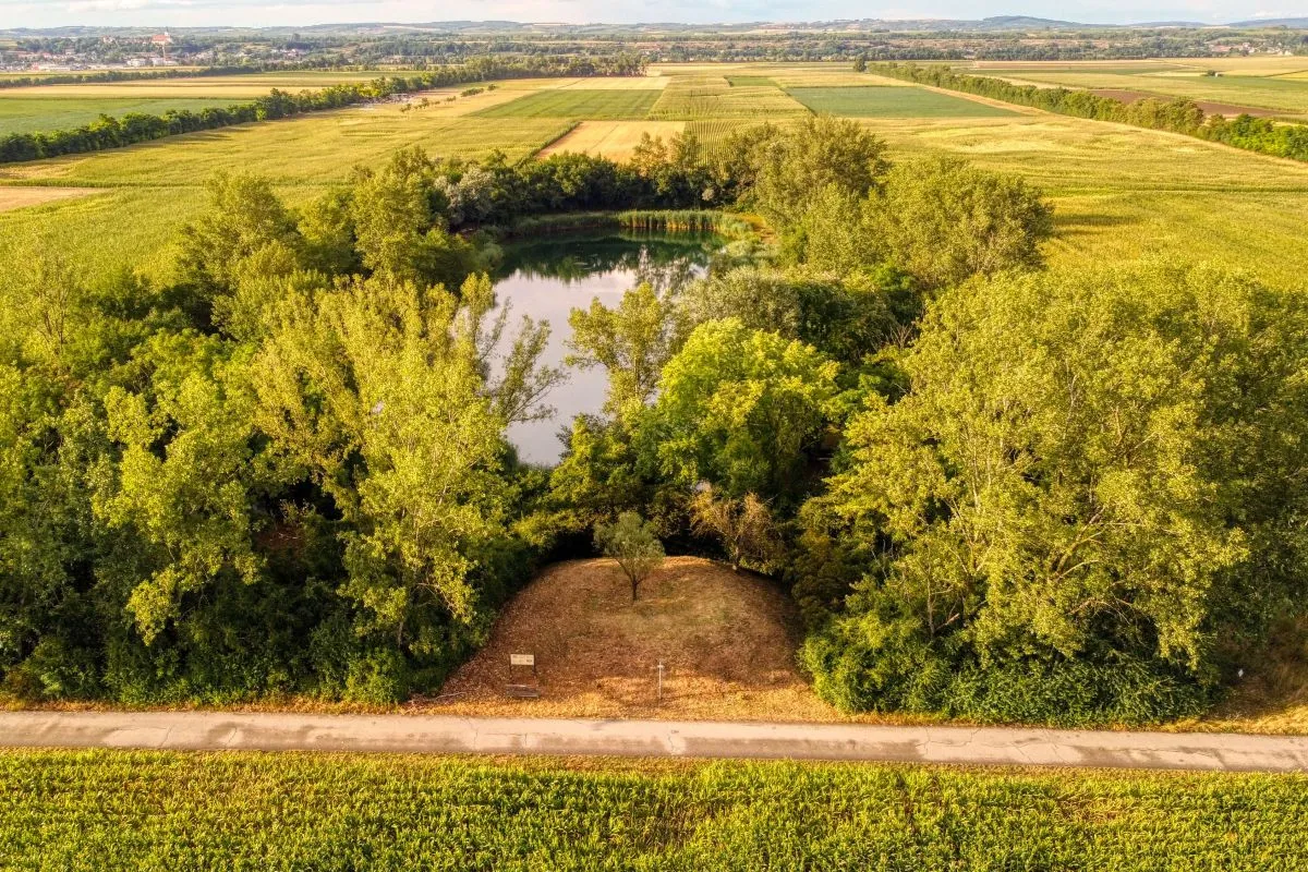
About 500 m south, where today the S5 motorway is located, a burial field from the Hallstatt culture has been discovered. The motorway runs along the former banks of the Danube before its regulation.
The regulation of the Danube in Austria started in the 16th century, but most of the activites took place in the 19th century and after World War II.
A description in German language with some more photos and a map can be found on Weinbergwandern.at.
A GPS track can be downloaded here.