Lower Austria can be divided into four quarters, in German "Viertel". The north-eastern quarter is called Weinviertel. The Weinviertel got its name because it is famous for wine growing ("Wein" is the German word for wine).
In this article I want to show you a walk up the highest mountain, the Buschberg with a height of 491 m above sea level. It is part of the Leiser Berge.
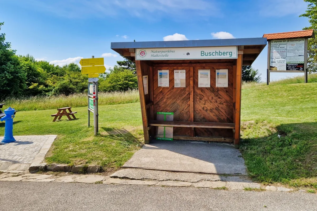
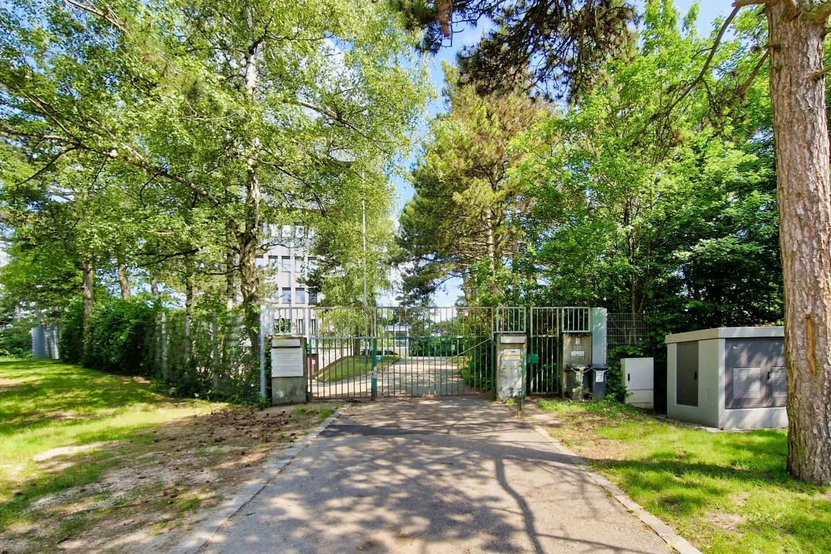
You can start this walk at the parking respectively the Bus Station at the foot of the mountain.
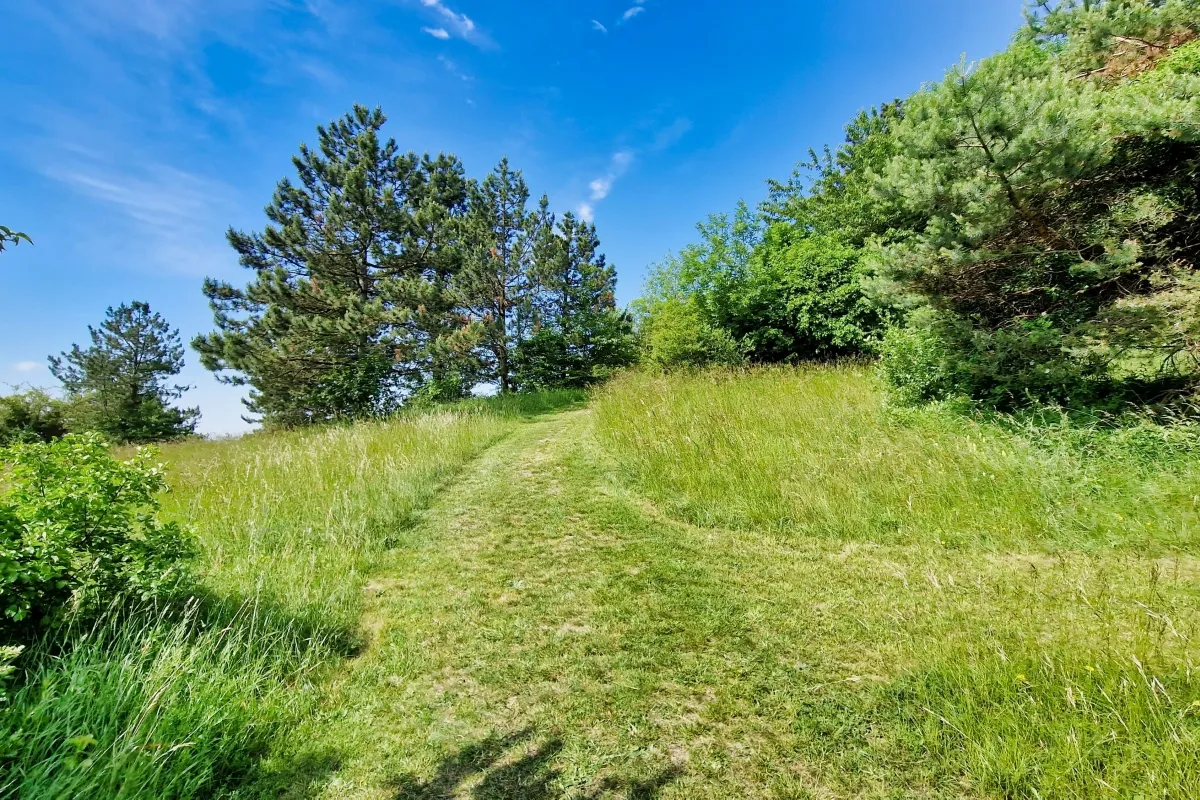
First you walk over grassland…

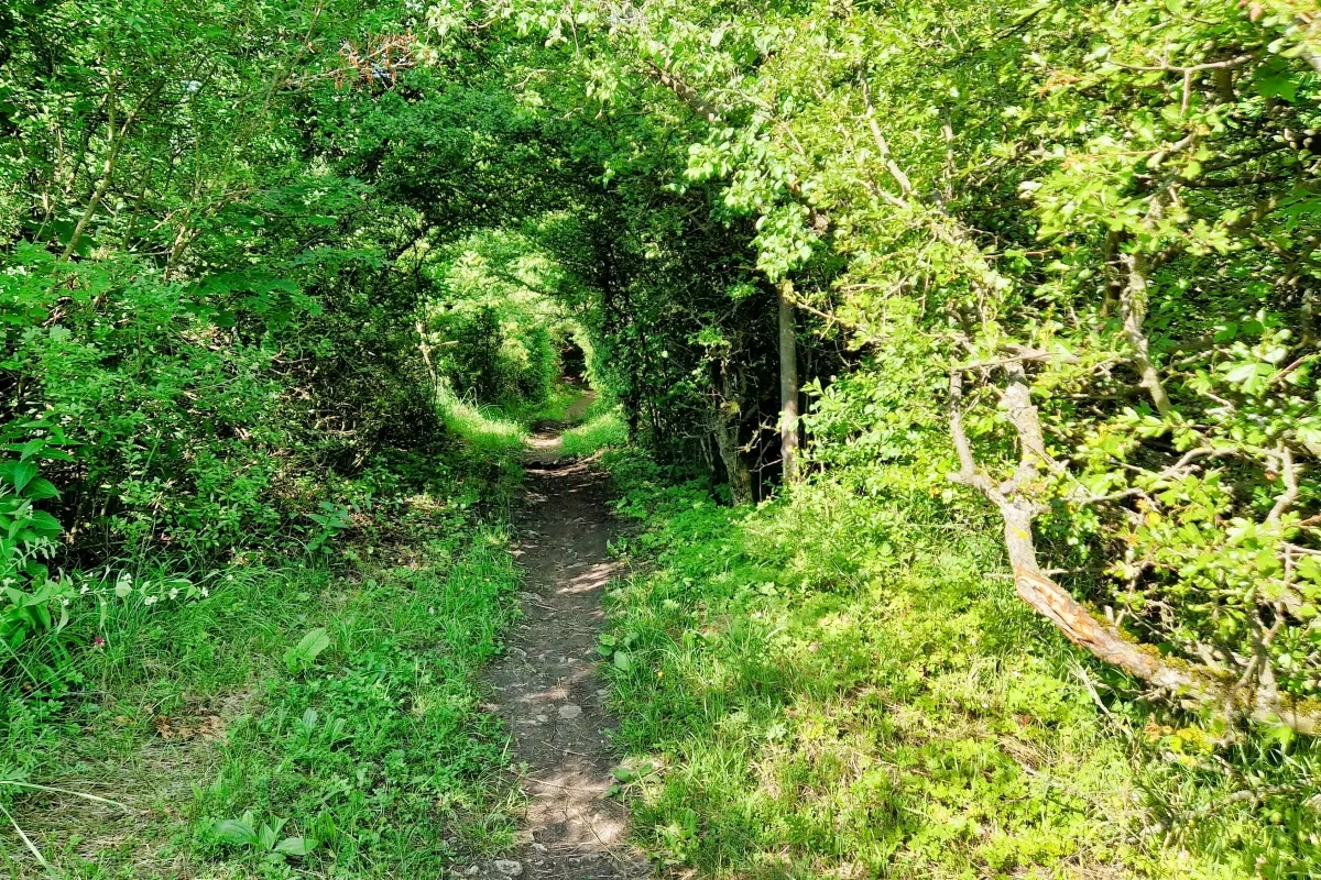
and through woodland…
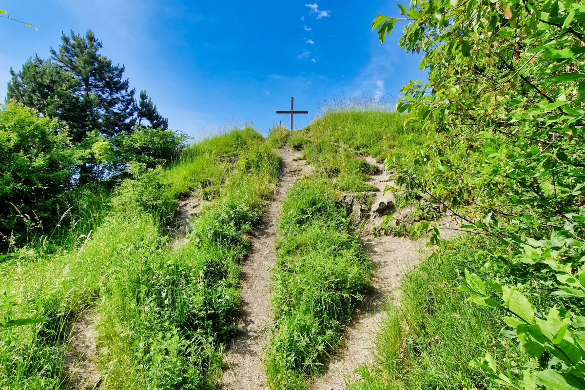
to the "Kahler Gipfel".
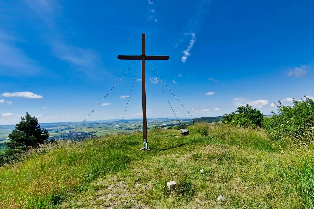
The summit of "Kahler Gipfel" (that would mean bald summit) is 485 m above sea level. It is only a side summit, but with a wonderful outlook.

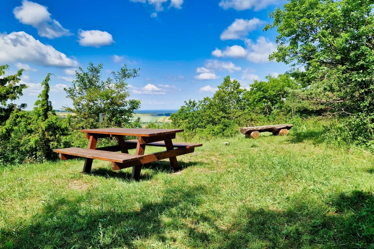
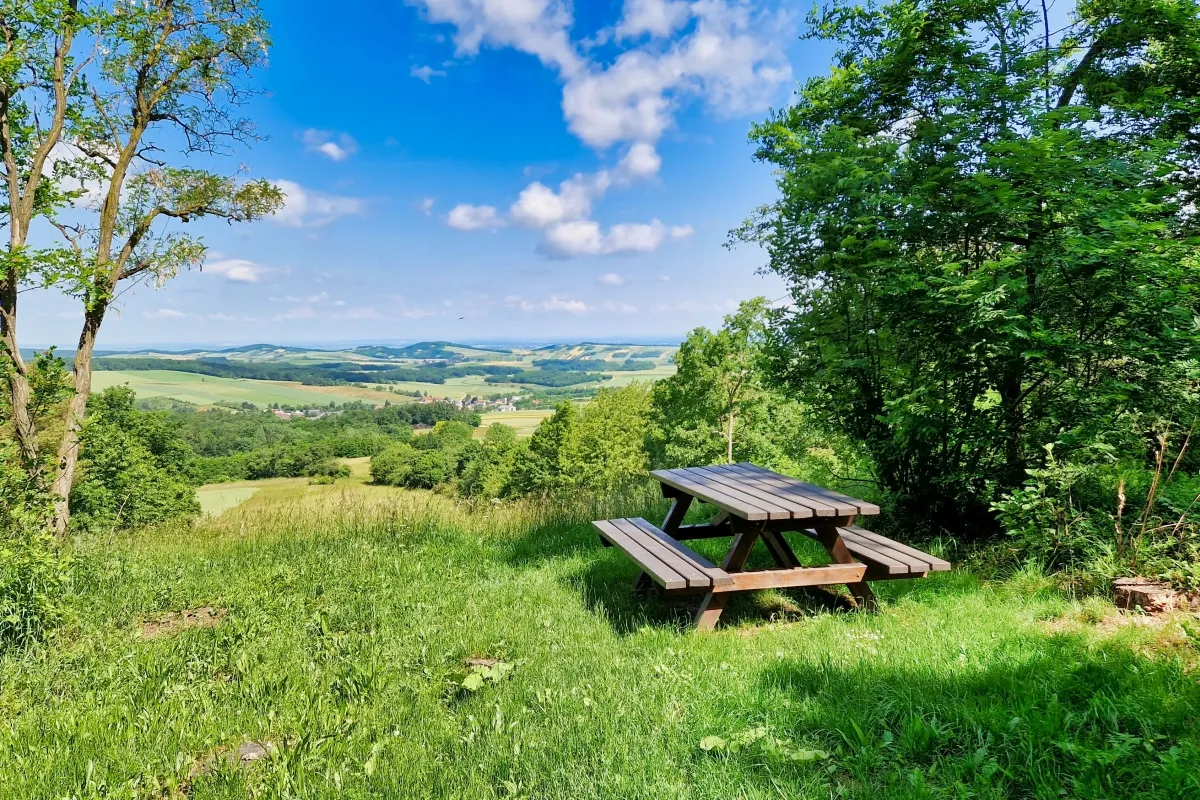
Then you walk over pastures and pass a resting bench.
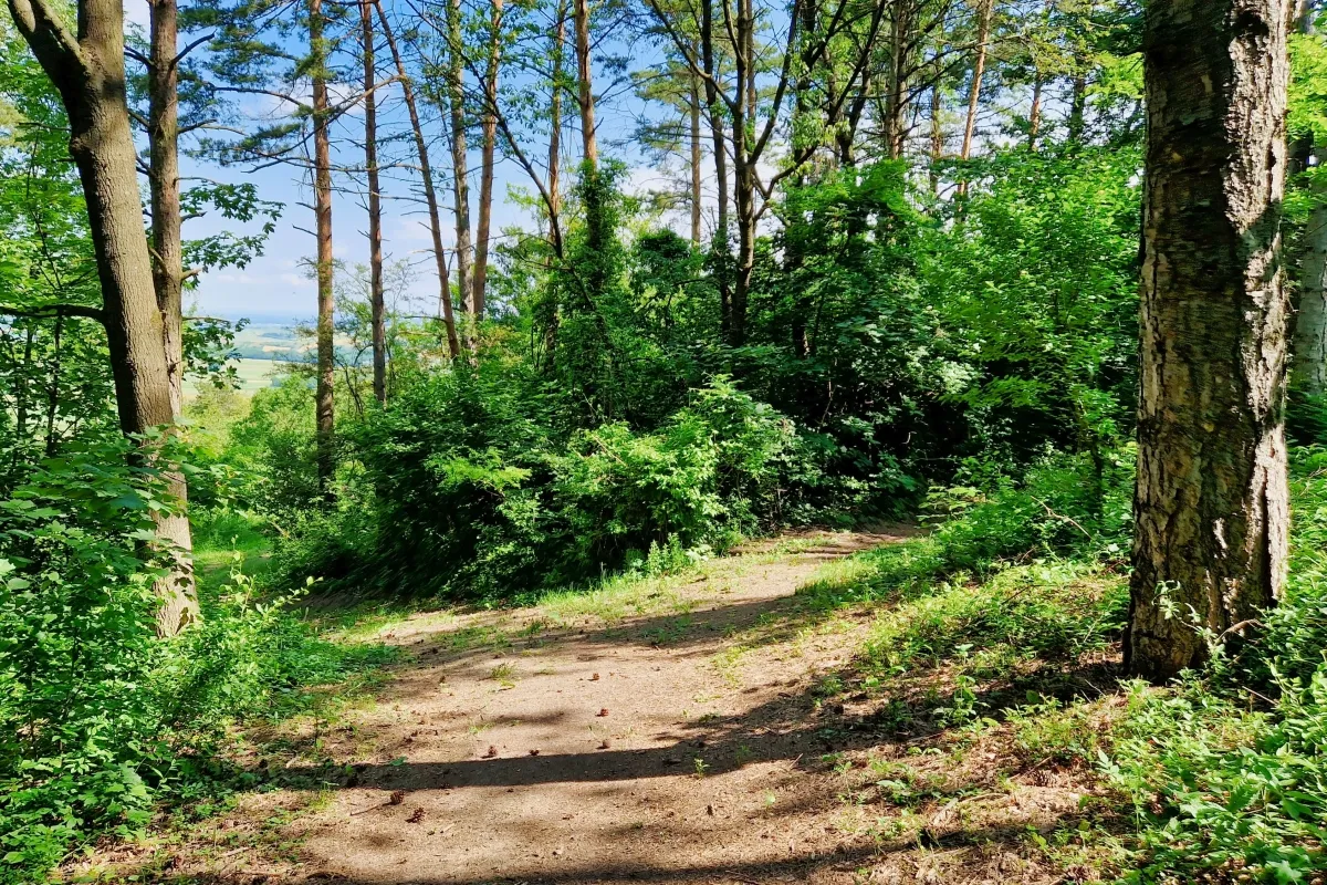
Later you walk through woodland again.
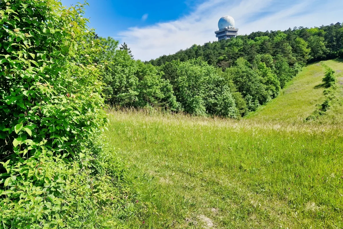
When you then leave the woodland again you will see the radar station on top of the Buschberg.
The next landmark on this walk is the so called Schmetterlingswiese ("butterfly meadow"). Here you can take a rest and look for butterflies. When we were there last spring, we really saw a lot of butterflies. Unfortunately I didn't have a camera with me that reacts that fast that you can use it for photographing butterflies.
Through the woodland…
you will come to another resting and lookout point.
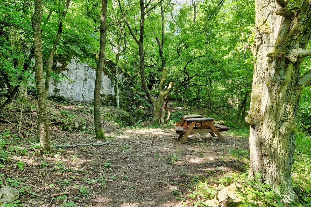
Back in the woodland you pass the "Rastplatz am Stein", a resting place near a rock.
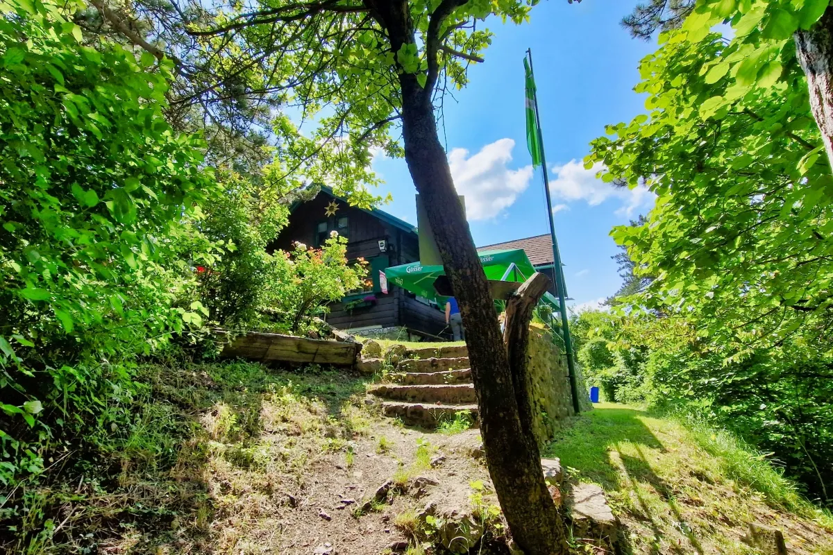
Soon after you reach the "Buschberghütte", a mountain restaurant operated by the Austrian Alpine Club.
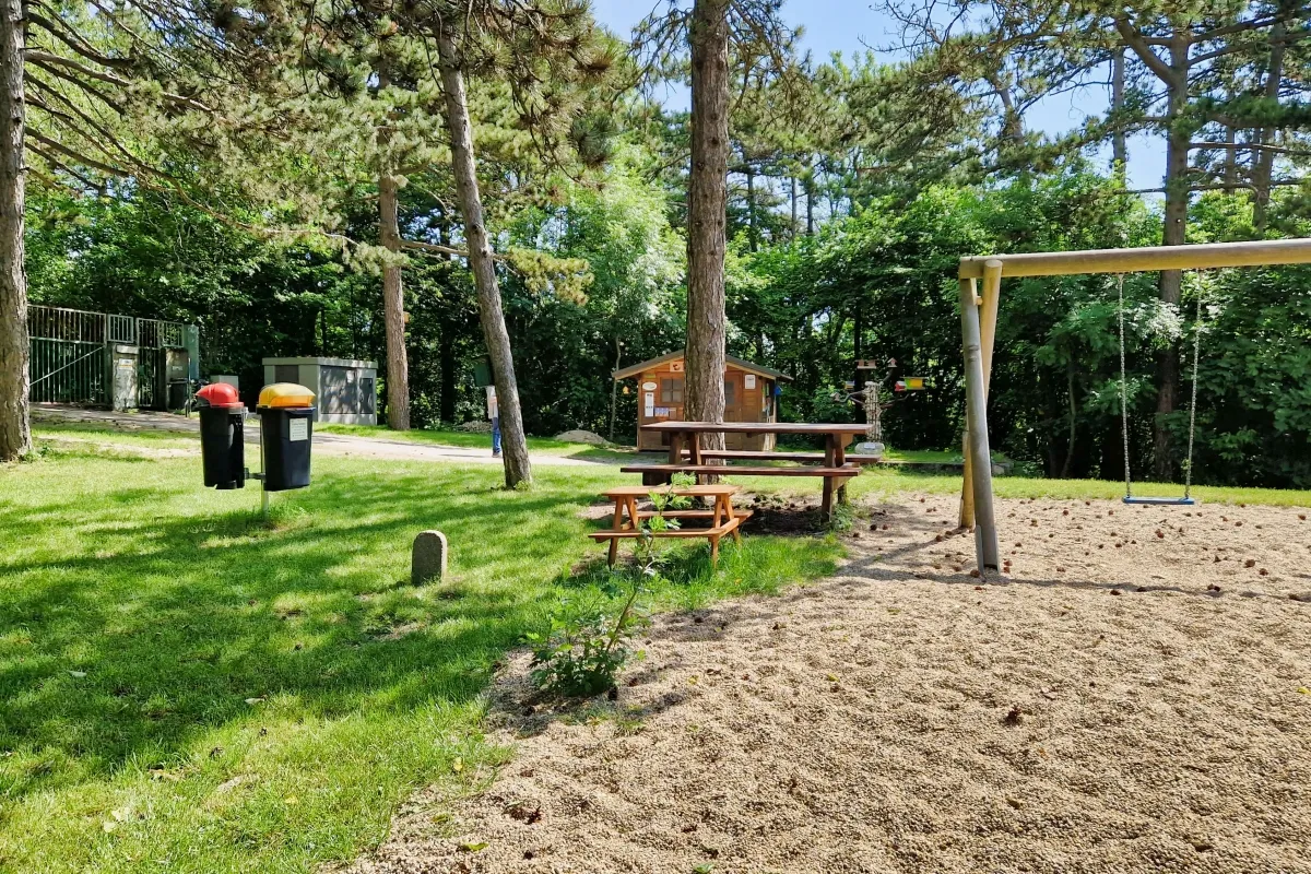
There is also a playground next to the restaurant.
The summit of the Buschberg is not accessible since the radar station is located there. The radar station is operated by austro control, the civil air navigation provider that controls the airspace over Austria.

For the descent you can use the asphalt road.

But there is also an abbreviation for pedestriants that leads over small and steep paths and stairways and crosses the road several times.
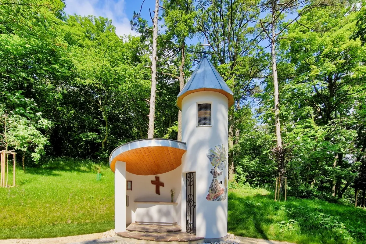
At the way down to the parking you can also visit a modern chapel built in 2022 and dedicated to Saint Francis of Assisi.
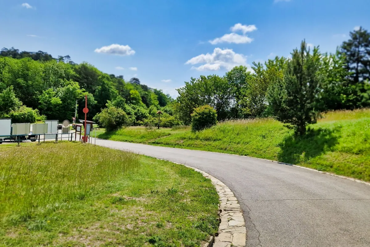
Finally, after about one hour walking time you come back to the parking respectively to the bus station.
A detailled description in German language, including a map, can be found on Weinbergwandern.at!
You can download the GPS track here