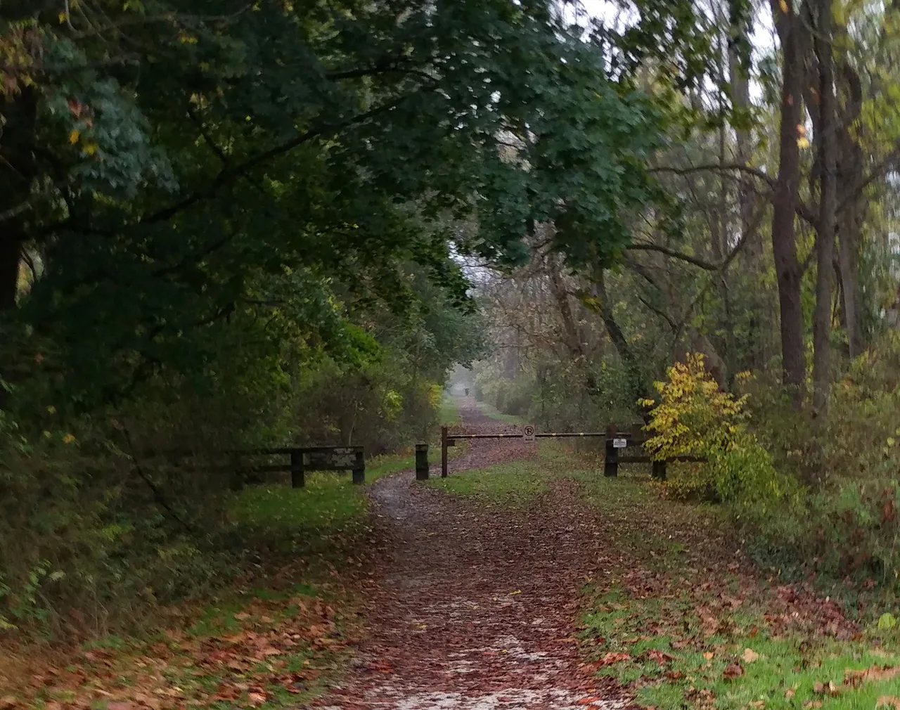
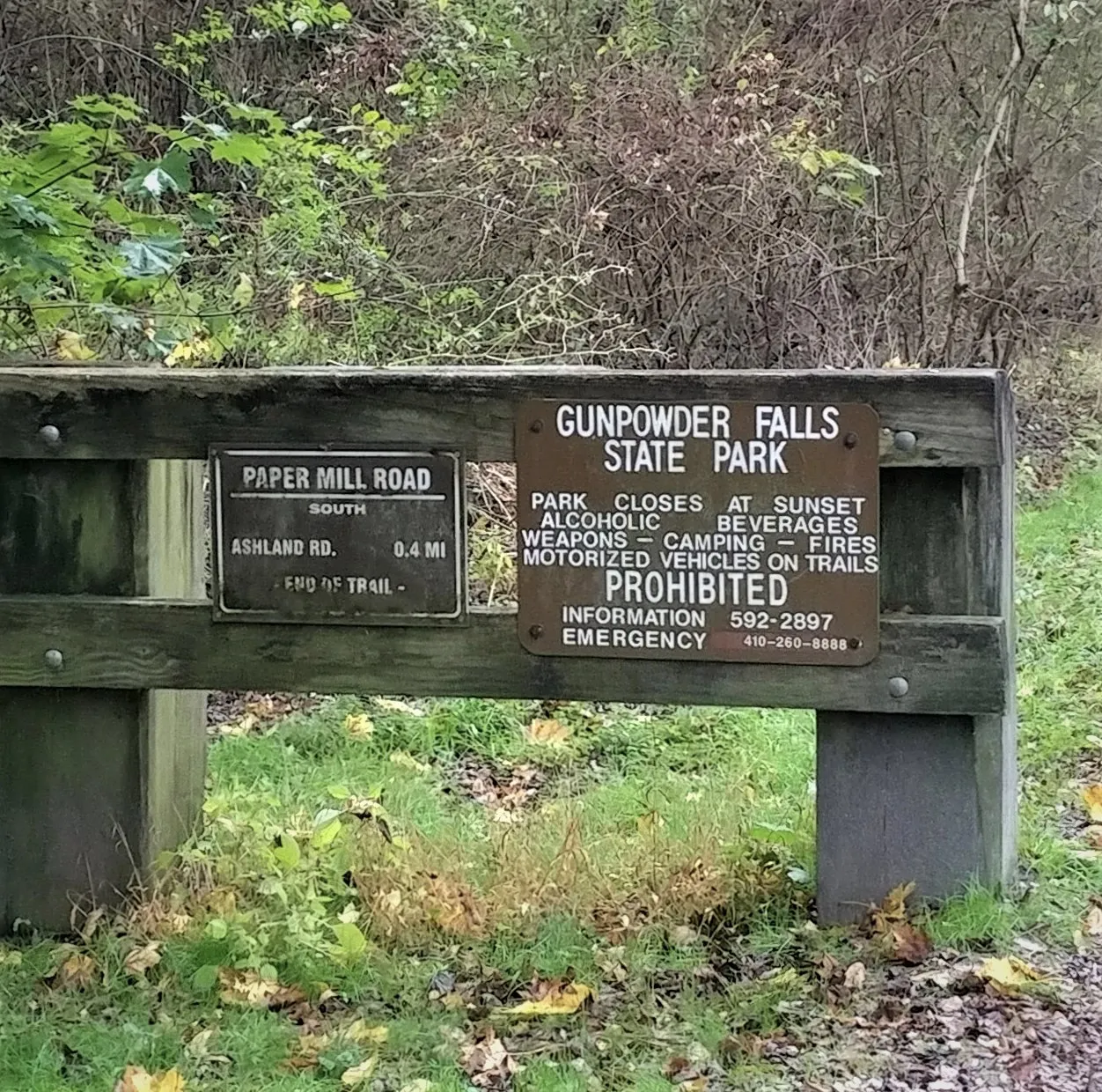
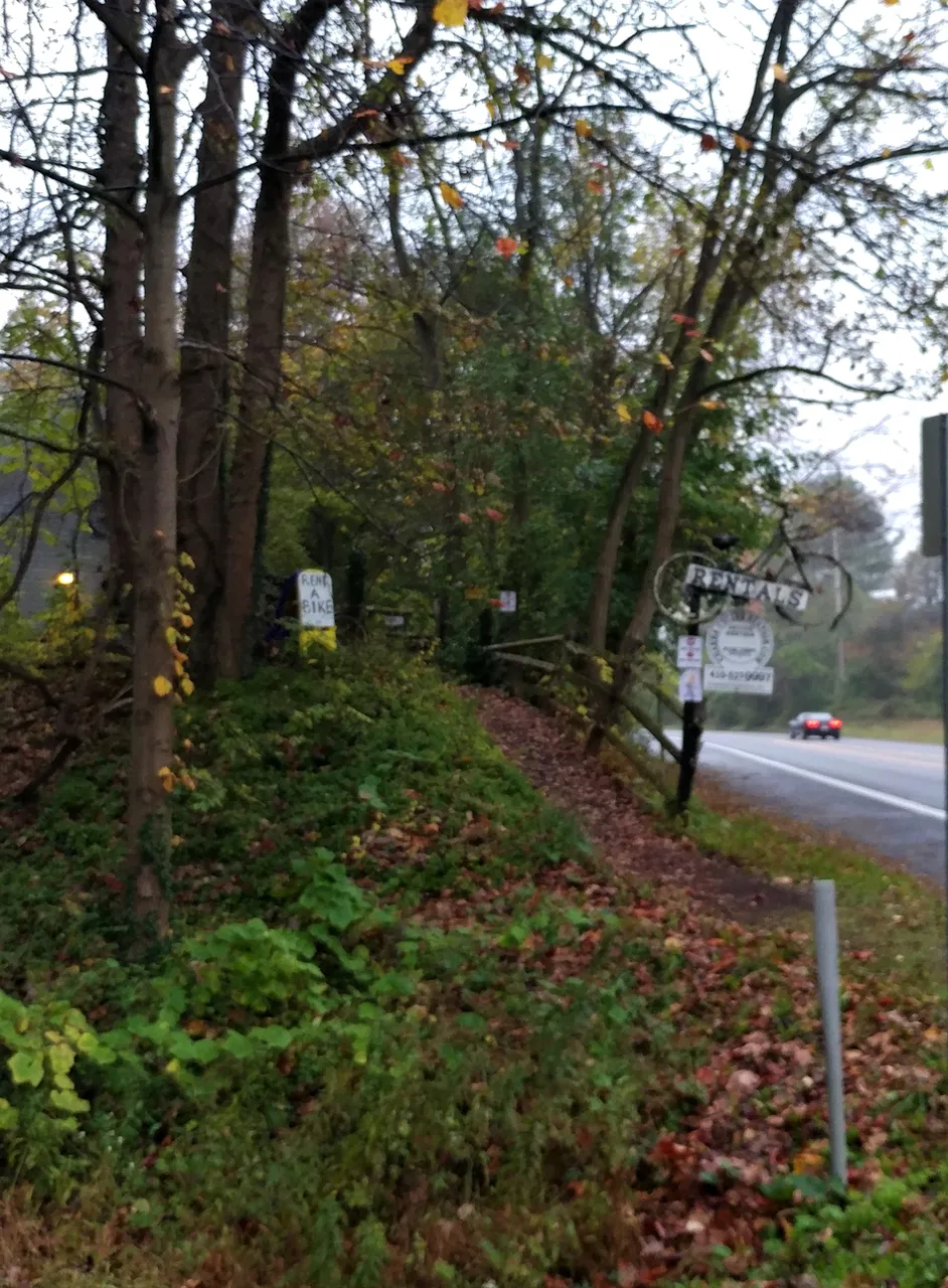
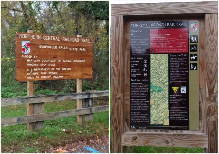
Today, I'll be taking you back to the Torrey C. Brown Trail aka the NCR Trail. NCR stands for Northern Central Railroad. This is the trail off Paper Mill Road South to Ashland Road and it is the -END OF THE TRAIL-! This trail is right next to the Hunt Valley Village Bike Rentals & River Tubes shop located at 1235 Paper Mill Rd S.E., Hunt Valley, Maryland 21031. The trails are also part of the Gunpowder Falls State Park.
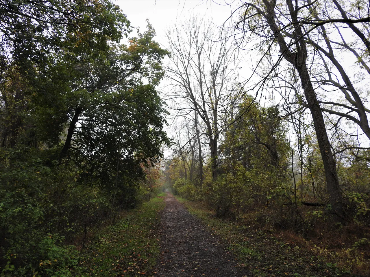
I visited on a day just before Halloween and the day was misty, drizzly and foggy. However, there is beauty that can be found in such a dreary day and I hope to show you that along with a few nice surprises.
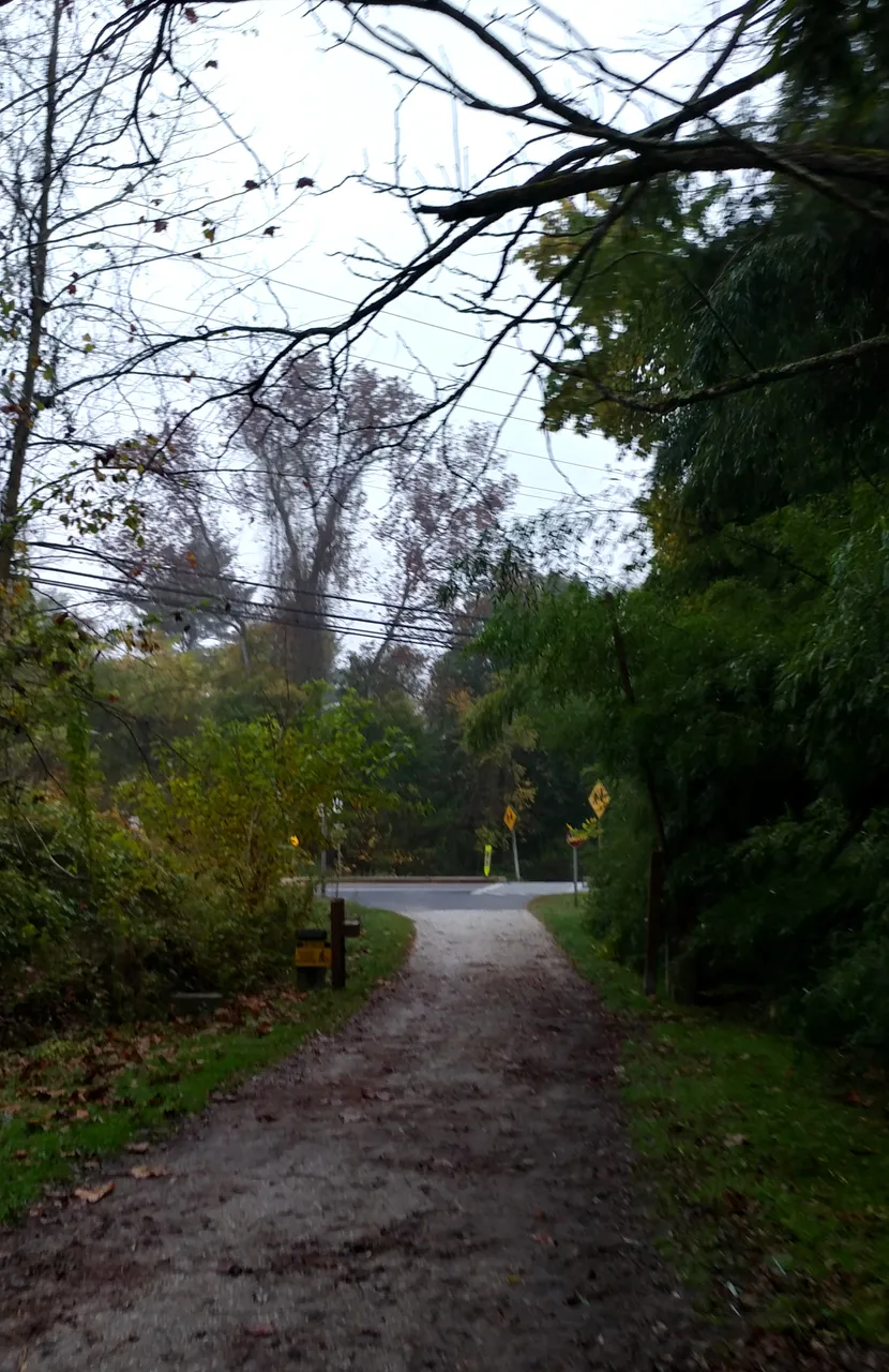
I showed you this part of the trail in another post. Once to the bottom of this ramp we will be turning left though instead of right. We will have to cross Paper Mill Rd and there is a crosswalk there which makes it safer to get to that Ashland Road part of the trail.
This is the bike rental shop (website) that I mentioned above and it is, literally, right next to the trail. It is a convenient spot to rent a bike to travel the trail should one choose to do so and does not have a bike of their own. Their rates are reasonable too but call ahead to make sure they are open since covid may have affected their hours of operation.
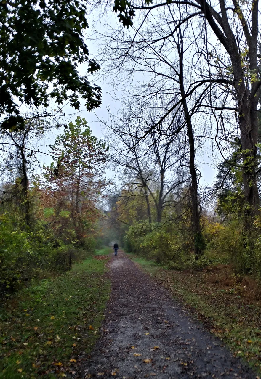
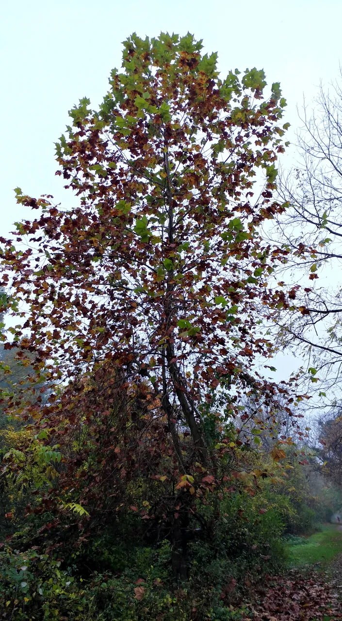
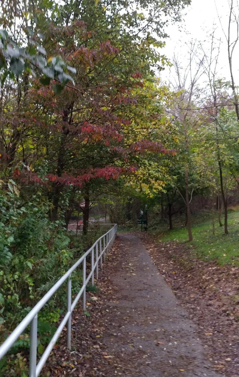
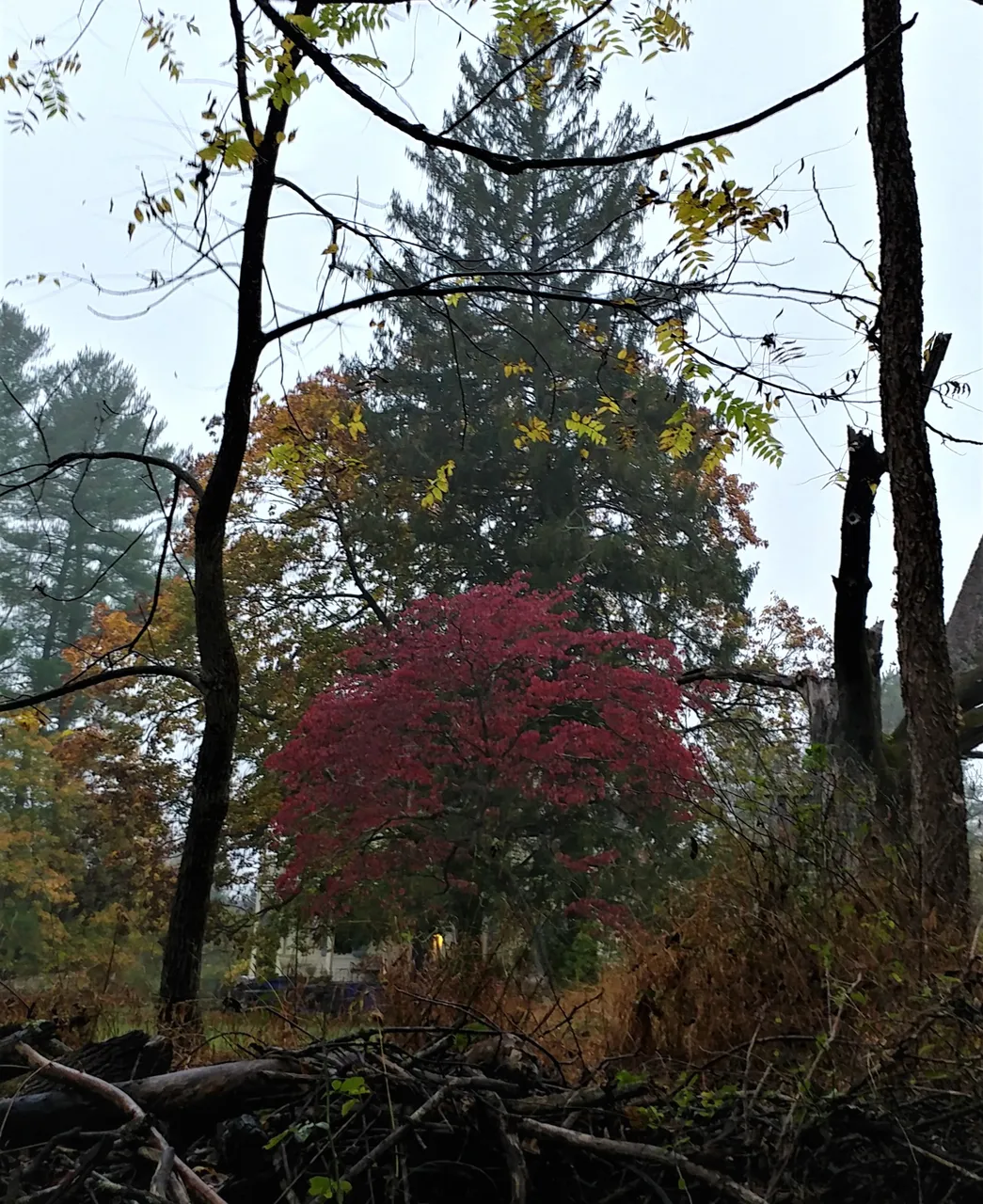
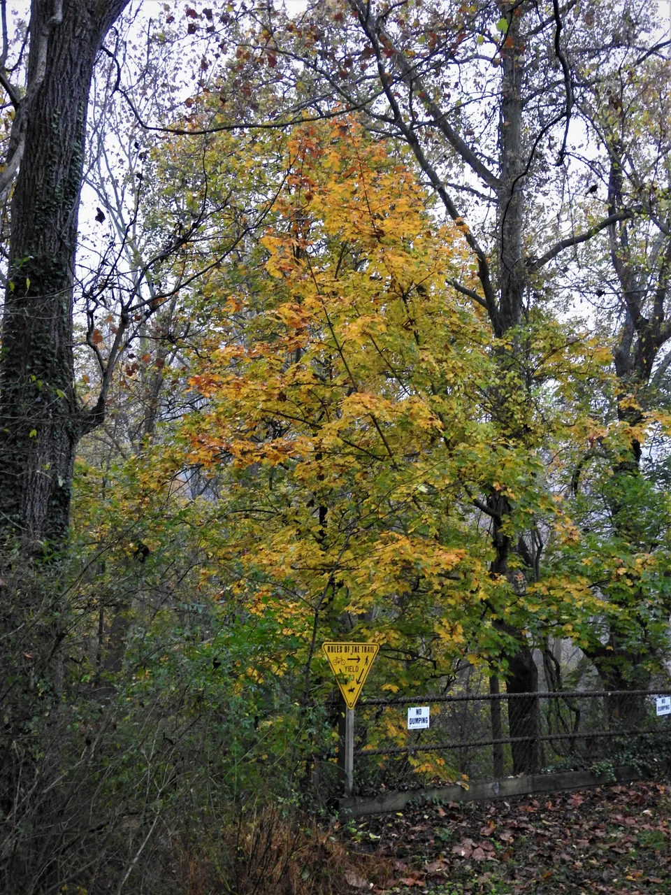
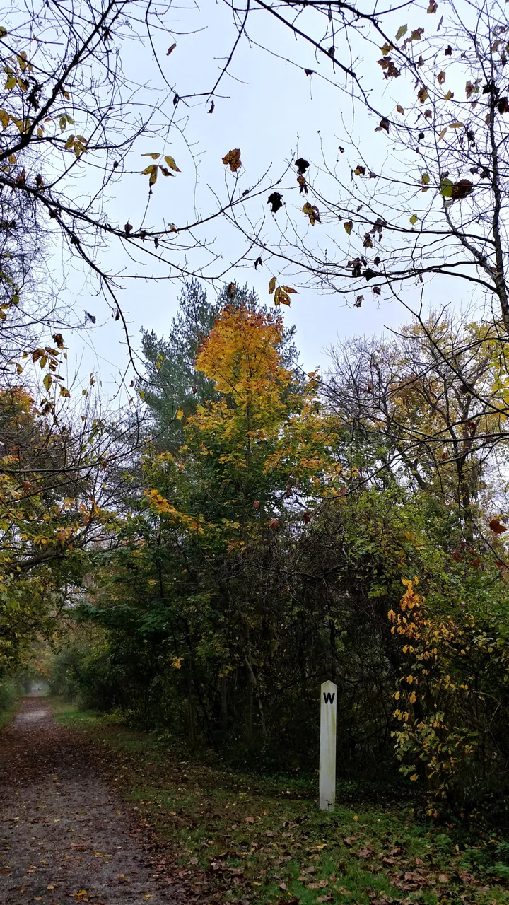
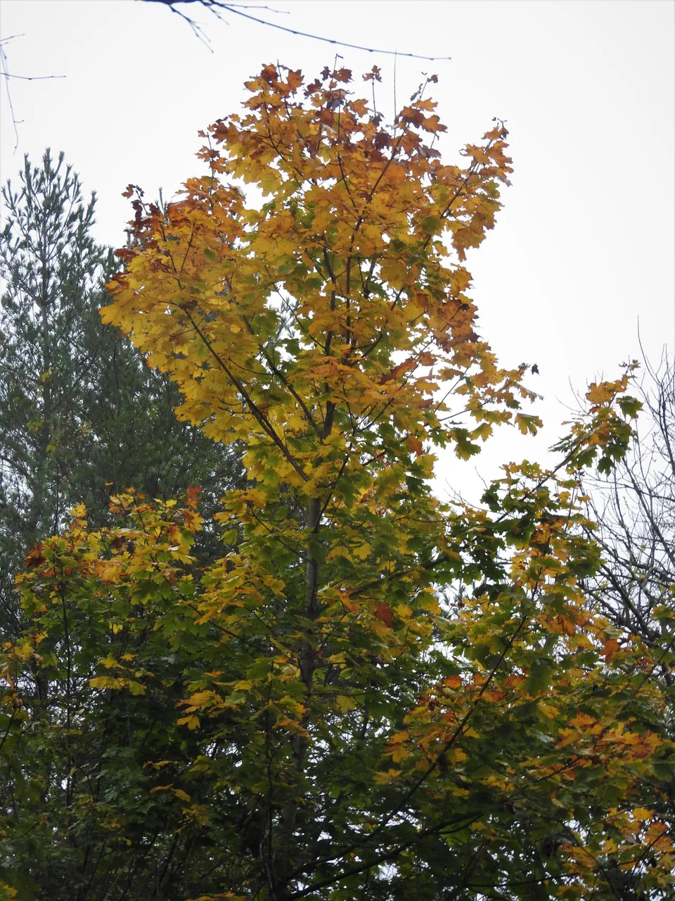
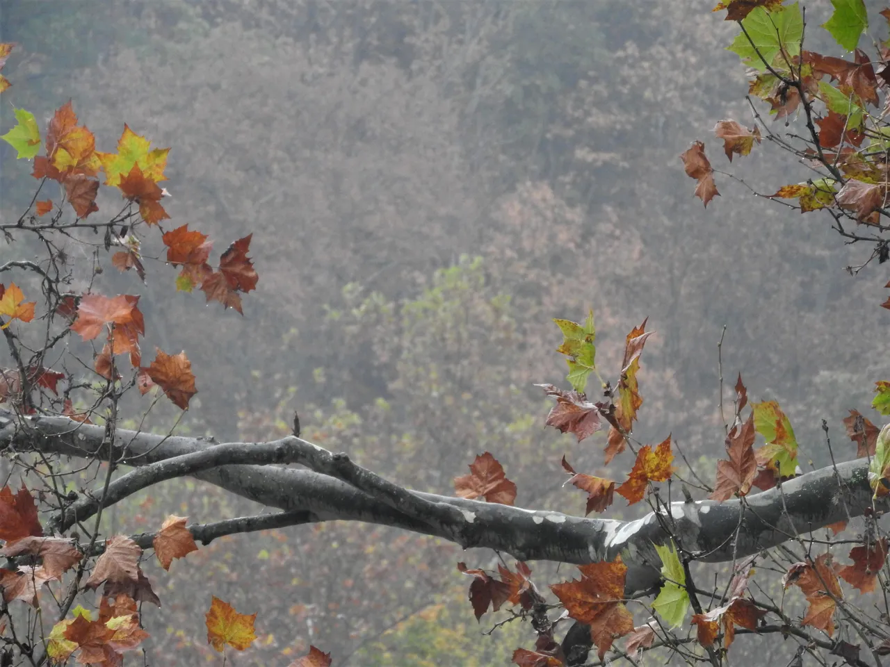
This part of the trail backs up to some residential properties and apartments but there is plenty of space between the two in most spots along with trees and foliage. I also spotted some lovely colors along the way which I will sprinkle around in my post.
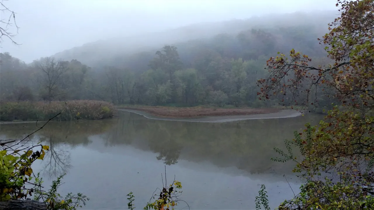
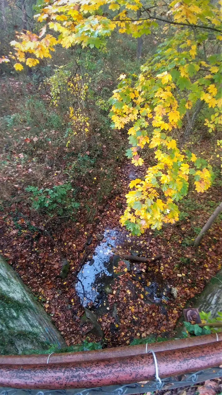
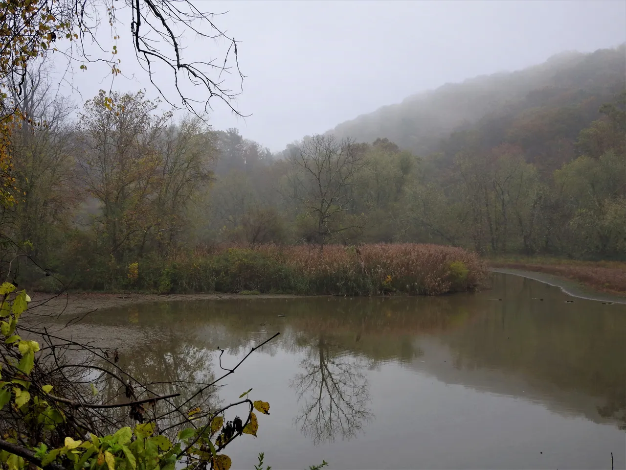
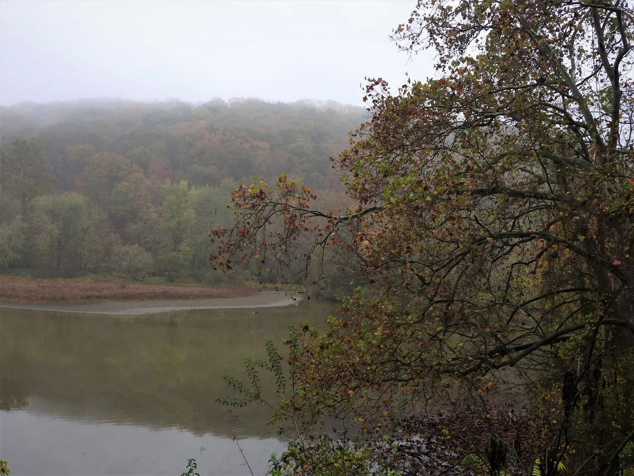
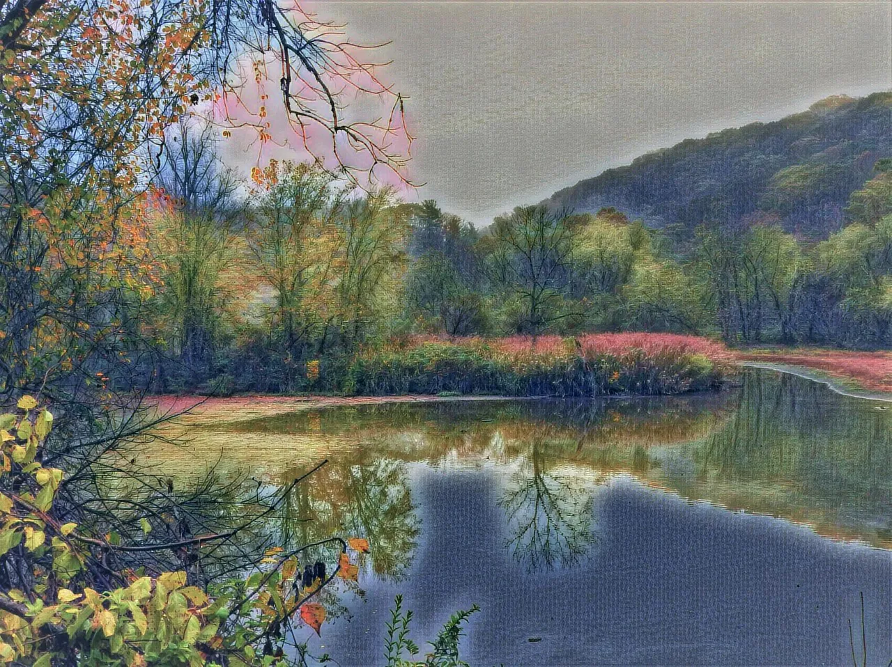
There isn't a lot of scenic water views but there were a couple that I could see and this is the main one. I'll tell you now that we (husband and I) did stop longer at this spot on the way back as the fog lifted just a bit and the drizzle was just a mist by that time.
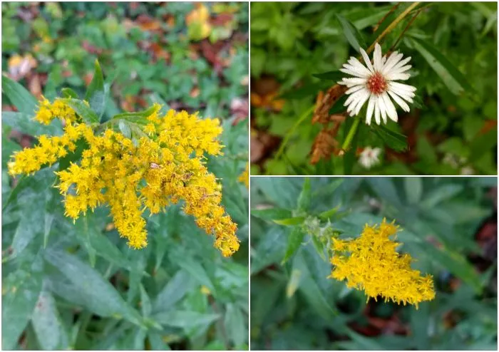
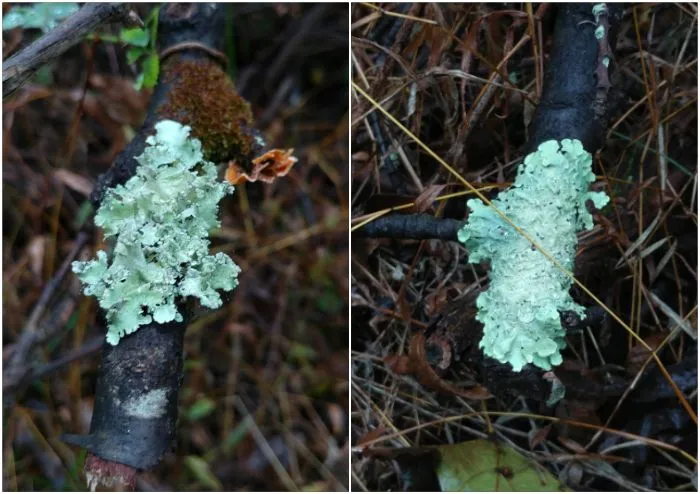
I only spotted a few flowers along the trail and the lichens looked especially striking on the wet branches that lay on the ground.
I thought I would see a little water under this small bridge that we crossed and that is exactly what I saw ... a little water! Most water levels were down here so I wasn't completely surprised by the lack of it. It has rained some since my visit though so I'm sure there is a bit more water under that bridge now.
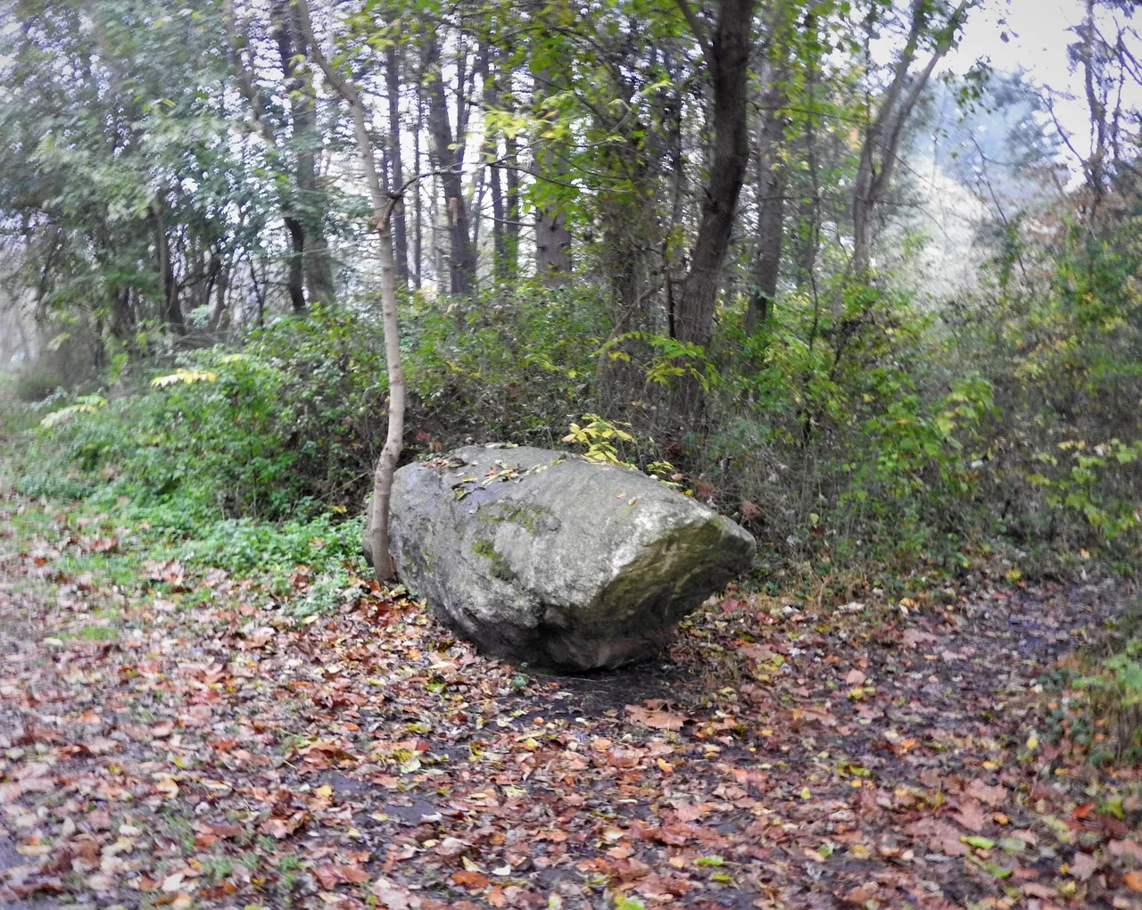
Here is a different angle of that big boulder that I featured in a post last week for Boulder Sunday.
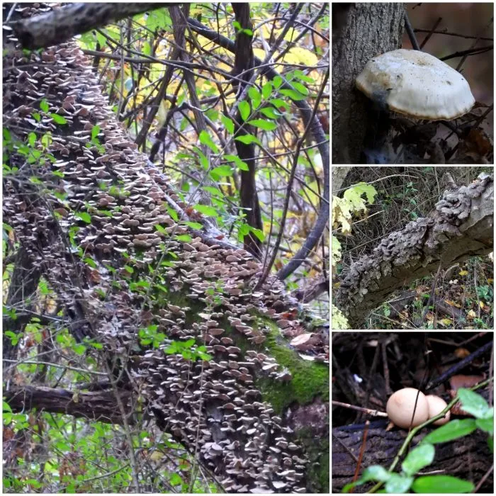
I saw a few mushrooms along the trail as well. The photo on the left in the collage was taken from a distance. I would have liked to have gotten a closer view but it was too far into a thicket of vines and shrubs and such.
Right by the end of the trail is a plaque about Ashland.
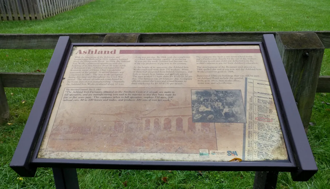
This may seem long but the history is worth the read (I think) so I typed out what was on the plaque in case some are interested in what is written on it.
Ashland
With the beginning of the Baltimore and Susquehanna Railroad in 1828, industry boomed along the Gunpowder River. In 1844, the Ashland Iron Works commenced operations with the building of its first furnace about 16 miles north of Baltimore City. Ashland was named for the Kentucky estate of Henry Clay, a prominent statesman of the period. A second furnace was completed in 1847. The iron works prospered during this time and throughout the Civil War period. The advent of railroads contributed to the boom days of iron manufacturing. Originally, the Ashland Iron Works produced about 10 tons of pig iron per day. By 1864, with the completion of a third, larger furnace capable of producing 50 tons per day itself, Ashland had become one of the top producers of pig iron in the country.
At the height of its operation, the Ashland Iron Works employed more than 200 workers. Many of them had emigrated from Ireland, Germany, and Italy to escape from famine and military service. The men worked 12 hour shifts for $1.00 - $1.50 per day. The furnace ran 24 hours per day. Company officials owned the town and rented houses to their employees for $1.50 - $2.50 per month. The company also built a one-room school house and a Presbyterian church for the use of the workers. $1.00 per month per child was deducted from the worker's salaries to pay for their children's education.
The development of the Bessemer steel process in 1866 spelled the end of pig iron and the Ashland Iron Works closed for good in 1884.
Renovated 1860 era buildings that can still be seen on Ashland Road include the general store, post office, iron works office, stone row, and schoolhouse.
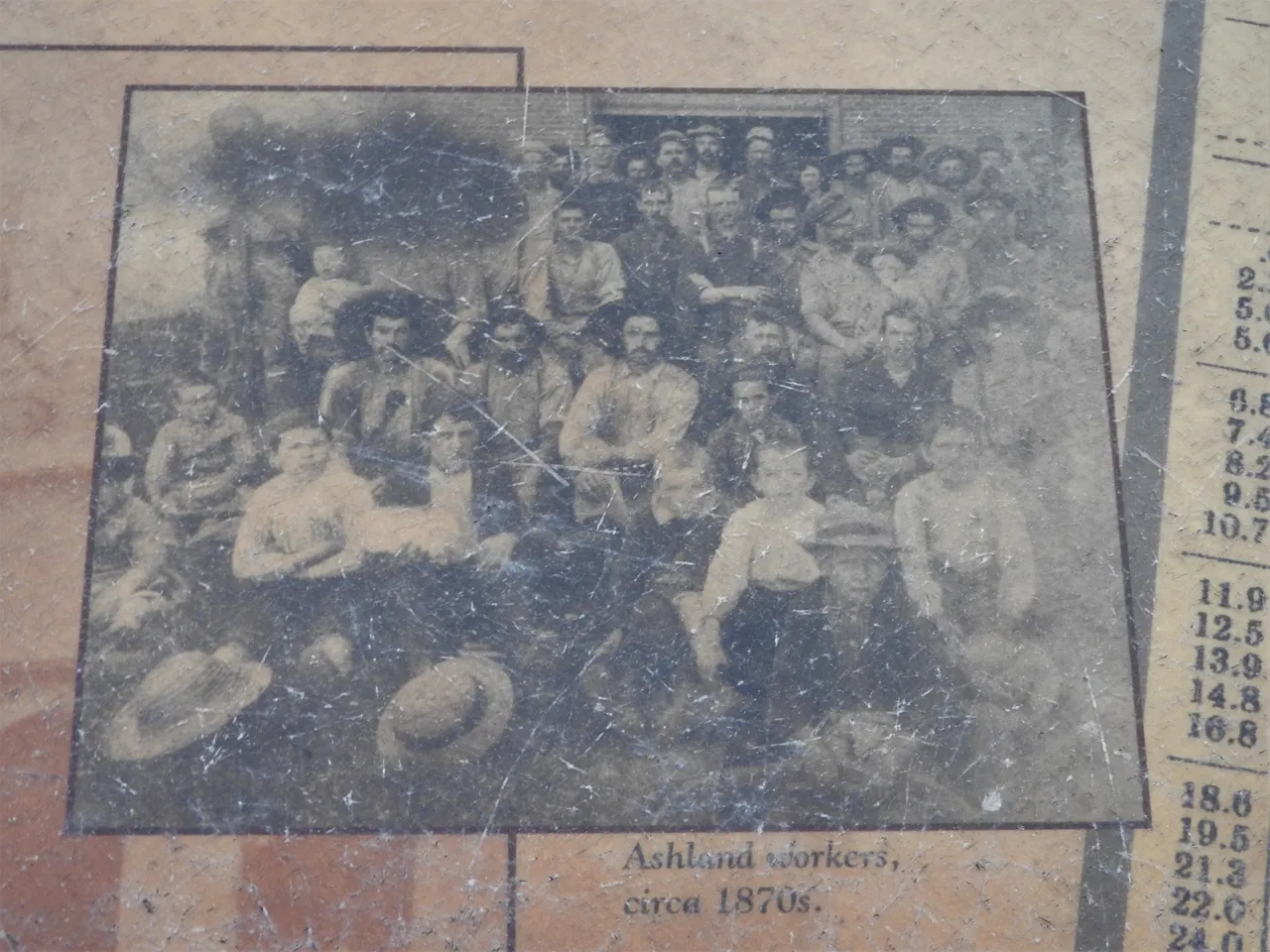
The words under the photo on the right of the plaque reads: "Ashland workers, circa 1870's."
The words over the main photo which is quite faded reads:
The Maryland Journal, Dec 2, 1865
"The Ashland iron Furnaces, situated on the Northern Central Railroad, are again in full operation, and are manufacturing iron said to be superior to any they have made for four or five years past. This company, when in full operation, employs 250 men, 200 railroad cars, 80 to 100 horses and mules, and produces 200 tons of iron per week."
Although this was a short trail, I still saw a lot of pretty scenery and I even saw a couple of squirrels.
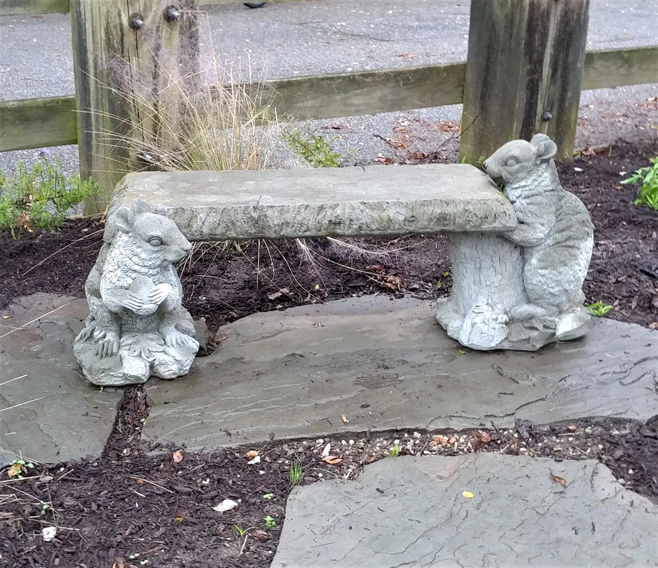
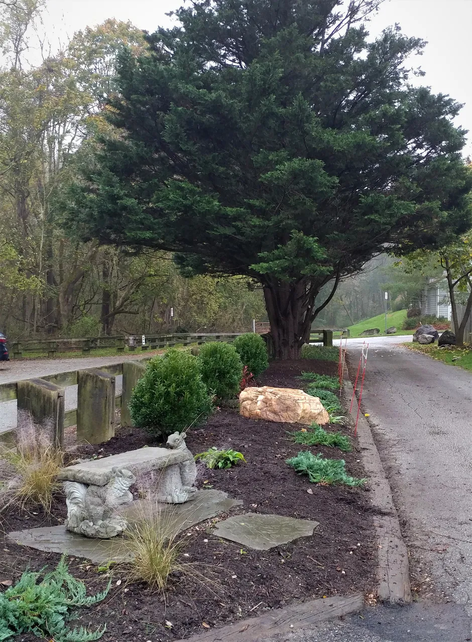
Hee hee, it was a nice bench though and cute too! It was right at the end of the trail at Ashland Road and was part of a nice garden area in the parking lot. Right here the properties were much closer to the trail and had a fence and some scattered boulders in between them.
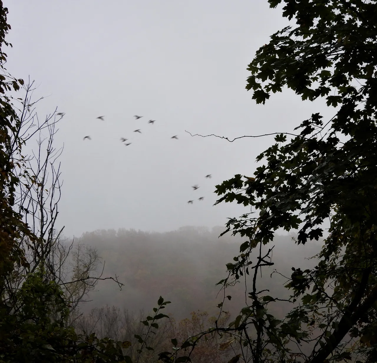
Okay, let's head back and see what else we can find! I was photographing this tree when I heard some ducks or geese flying over. All I can say is I tried to get a photo of them. I could hear them for a while before spotting them in between some trees and they sure weren't slowing down any for @deerjay!
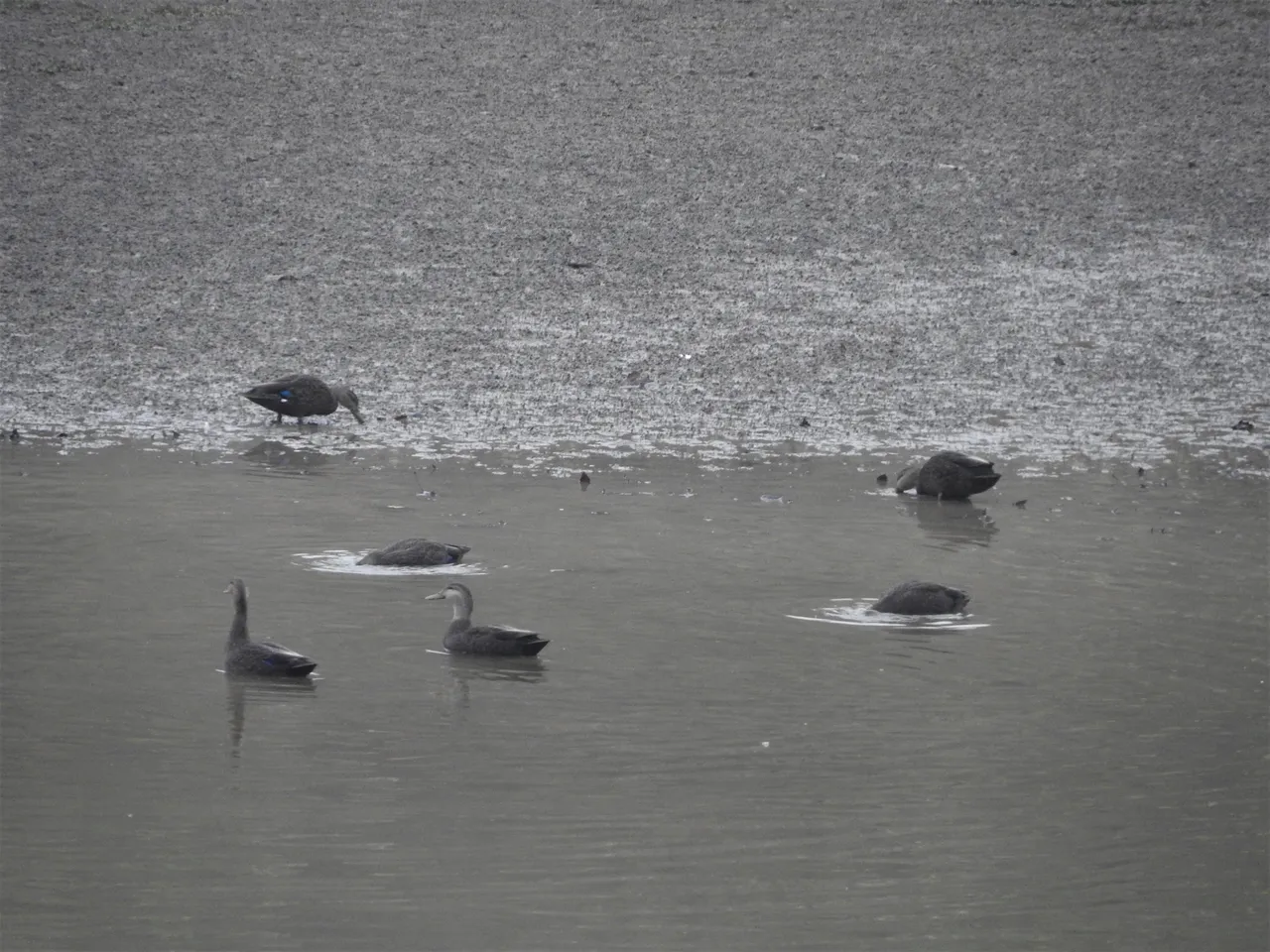
Anyway, this was also right by that body of water that I mentioned earlier in my post. This body of water is actually part of Loch Raven Reservoir and is at the very end of the Reservoir.
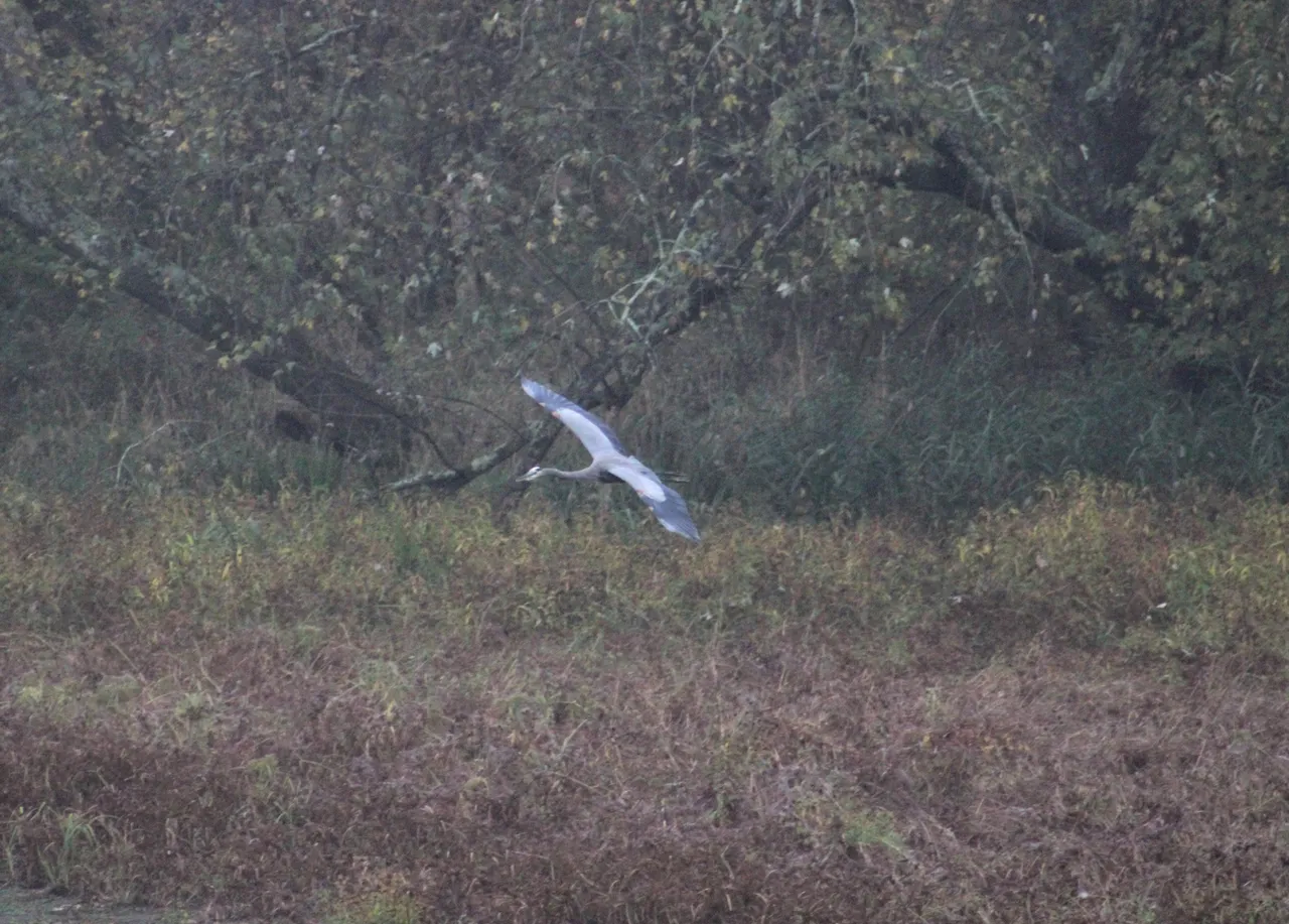
Here, I saw some ducks and a Great Blue Heron. Yeah, the shot of the Heron isn't the best but they can fly pretty fast! Have you ever heard a Great Blue Heron? Let me tell you, they are loud and it was so cool to hear it!
Here again the water was low, so low that I could see a few big rocks in the water.
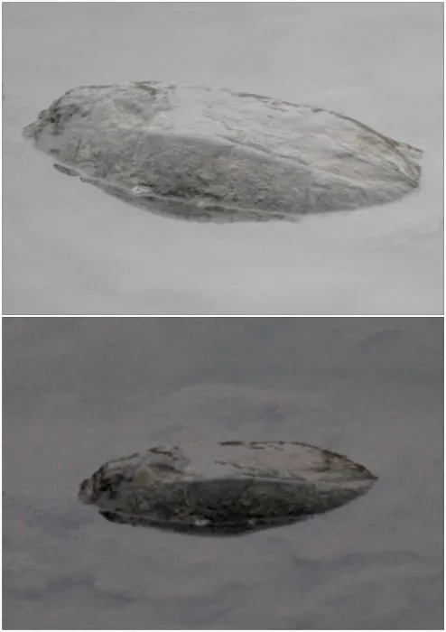
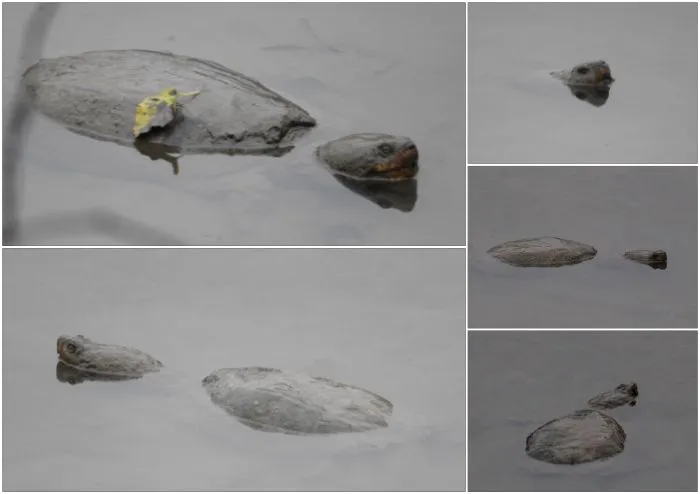
To my surprise though, they weren't rocks at all! They were some big ole snapping turtles! To be honest, they aren't the better looking of the turtle varieties but it was still awesome to see them. I had to laugh at the one which had a leaf on its shell.
I have another surprise catch and I circled it in this next photo to help you see it. It's in the upper left hand corner ...
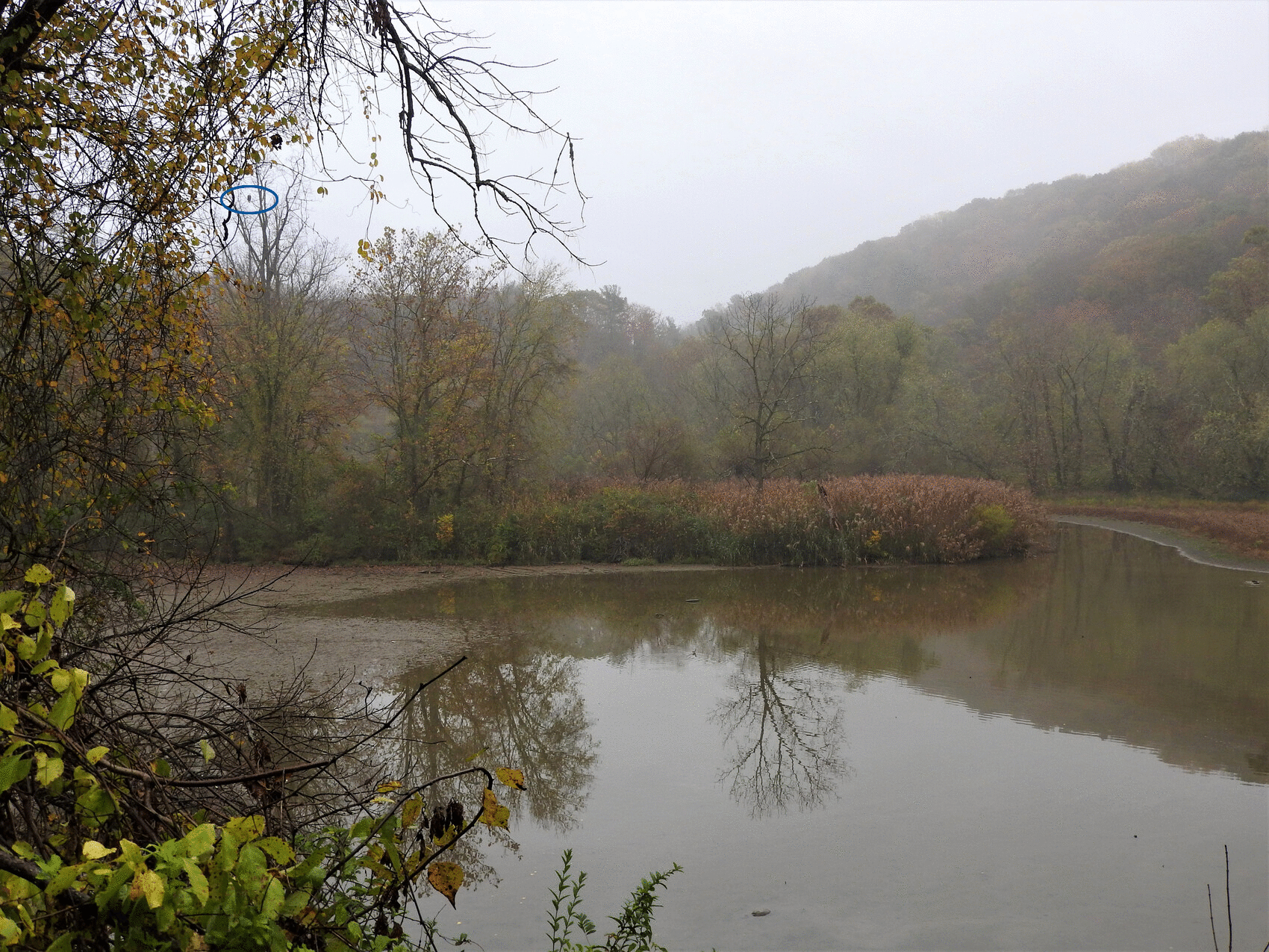
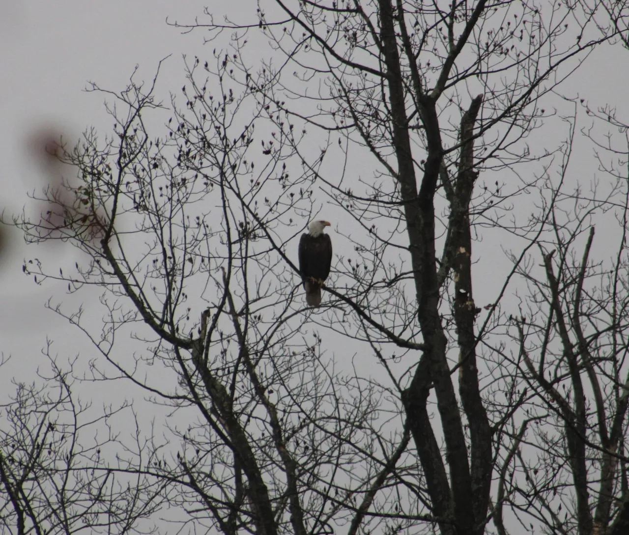
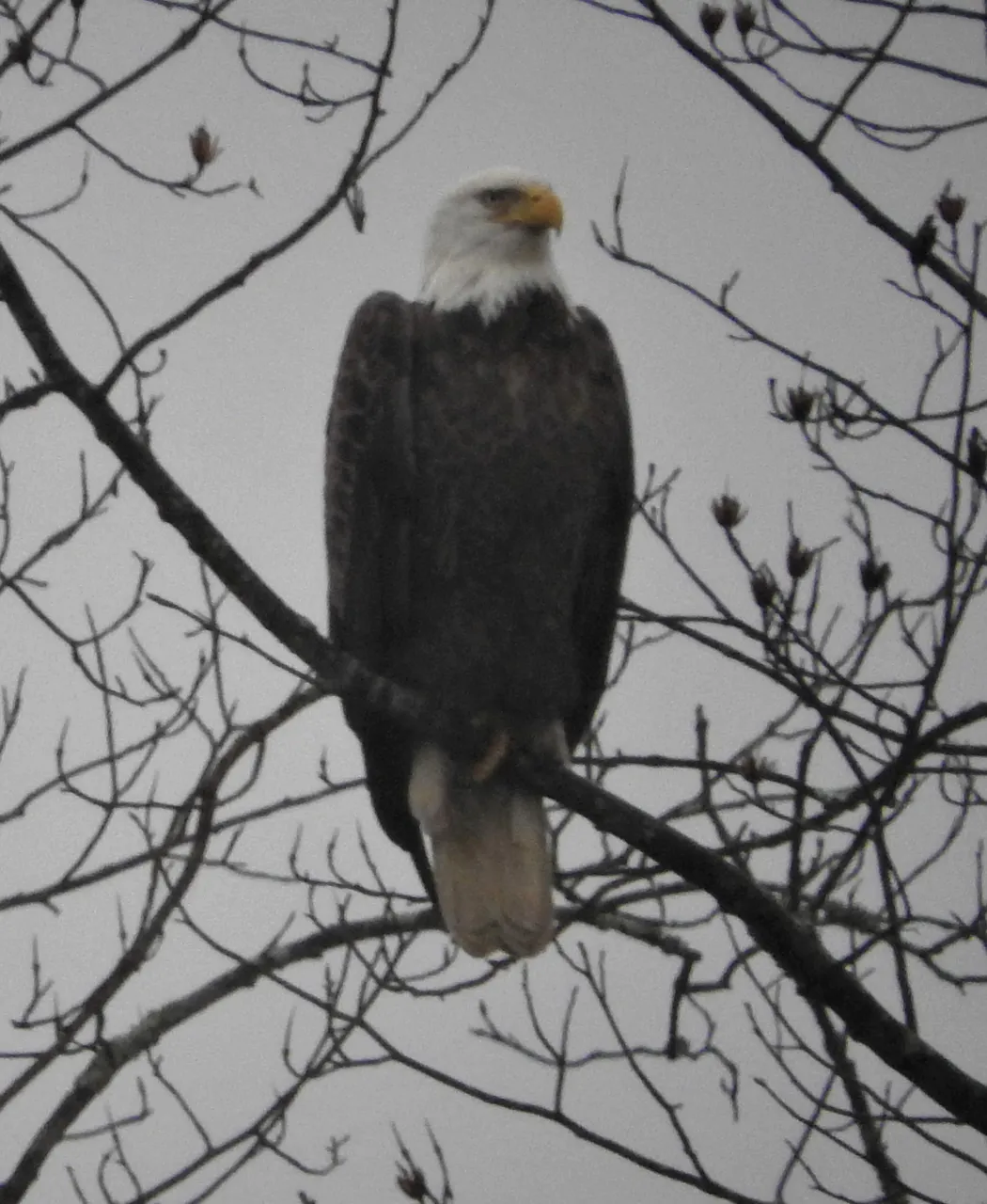
Can you believe it?! The Bald Eagle was just sitting there way off in the distance but, luckily, my husband spotted it and pointed it out to me. I know, not the best photo but I do have two more of the Bald Eagle that are slightly better ...
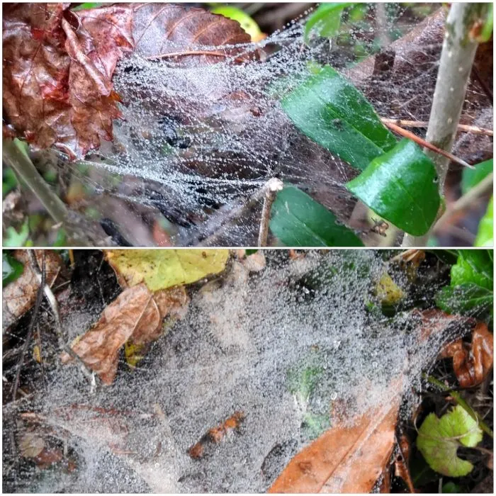
To get some of these shots I was on a weird little embankment of logs and foliage and dirt and I started slipping in the wet soft dirt and had to yell to my husband for help. He was right by me thank goodness and I left him to get back on the trail where I saw some spider webs with rain droplets on them.
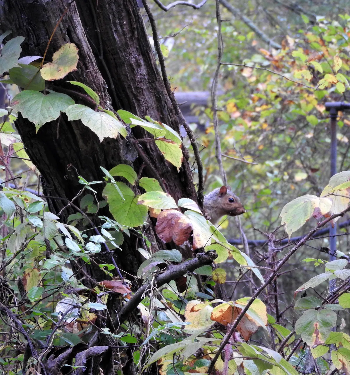
You know I feel a little bad tricking you with that squirrel photo earlier so I'll make it up to you with this little critter that I spied on my way back. Squirrels are funny sometimes in that if they think you see them, they will scamper to the opposite side of a tree to hide or scamper up a tree and away from you. Here he or she is peeking at me from the opposite side of the tree before he went up and away.
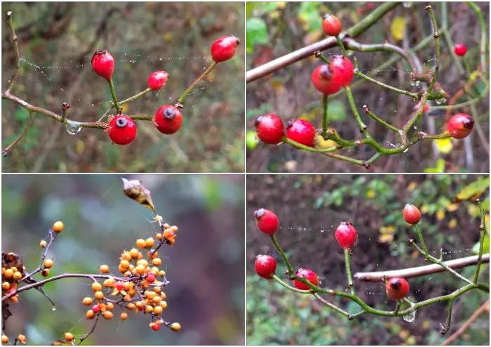
Almost back to our starting point and just a few more photos. Some berries with more drippy spider webs attached.
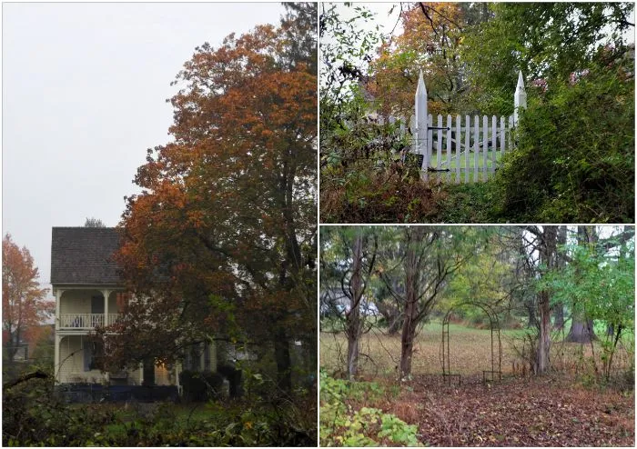
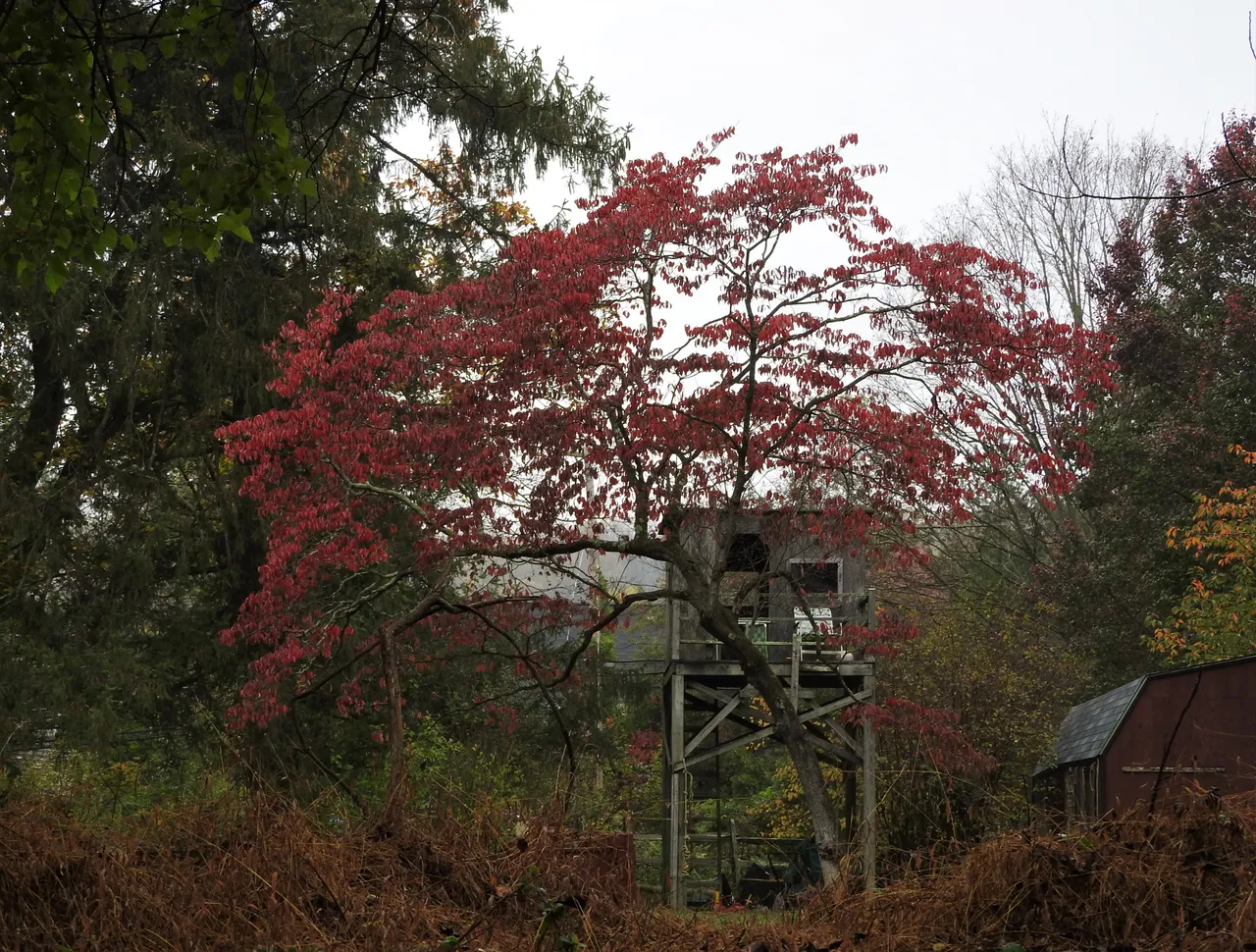
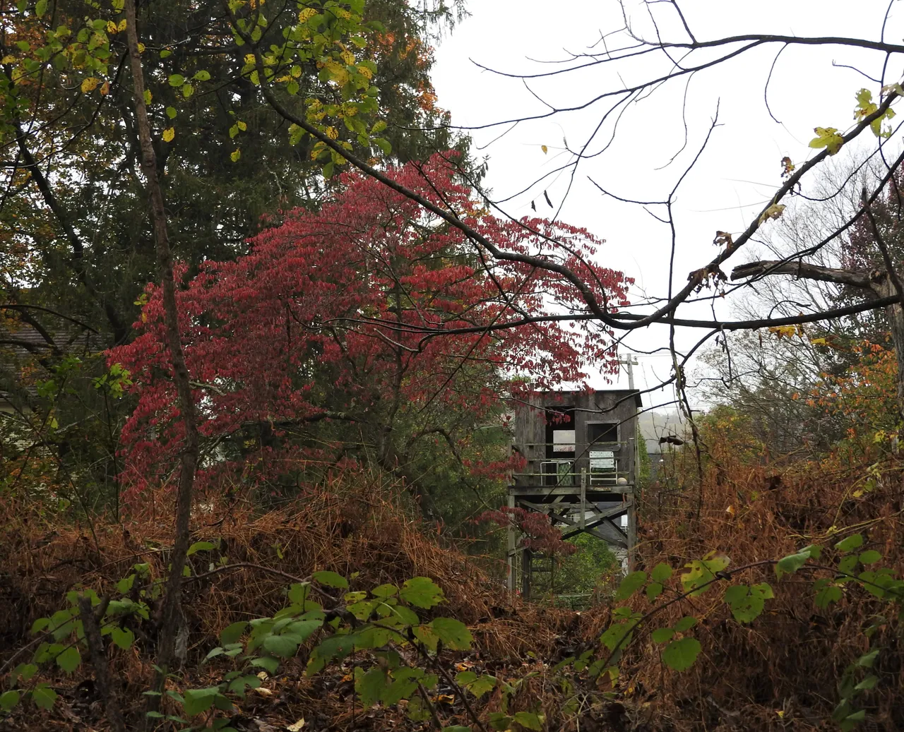
Some pretty Autumn leaves near the beginning of the Ashland Road Trail. I love the tree house in back of the red-leafed tree. You may also be able to see the lawn chairs up there. I'd have to say that they probably have a heck of a view from up there!
So, there you have it! We went all the way to the -END OF THE TRAIL- and back again. Thanks for joining me and I do find myself wondering ... if it is the end of the trail but you start out there then is it still considered the end of the trail?! Hmmm, I might just be rambling on now so I'll say bye for now and have a wonderful Sunday! 💖
Just one edit as my post is long enough as it is. 🙂
Thank you @coff33a for #sublimesunday!!
All photos and text by me @deerjay. All rights reserved.