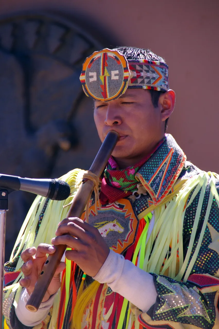
Since I am revisiting my photos from my USA trips I thought I'd share my visit to The West side of the Grand Canyon.
Located in the Mohave County of Arizona and on the Hualapai Reservation.
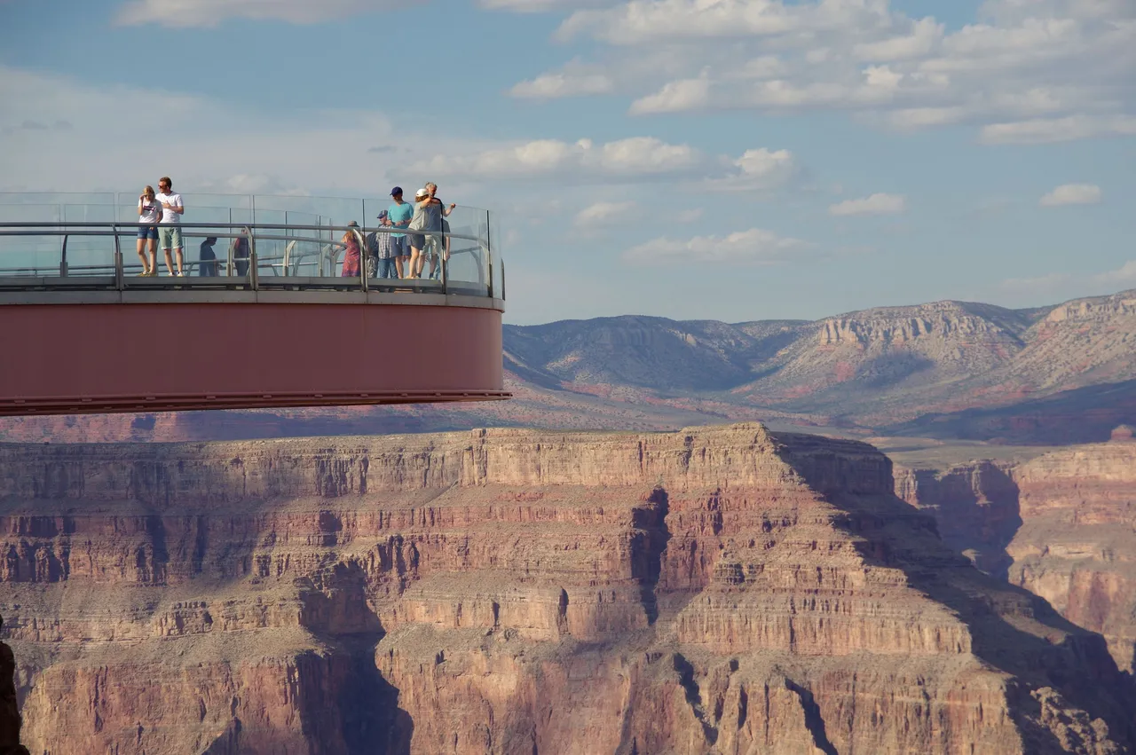
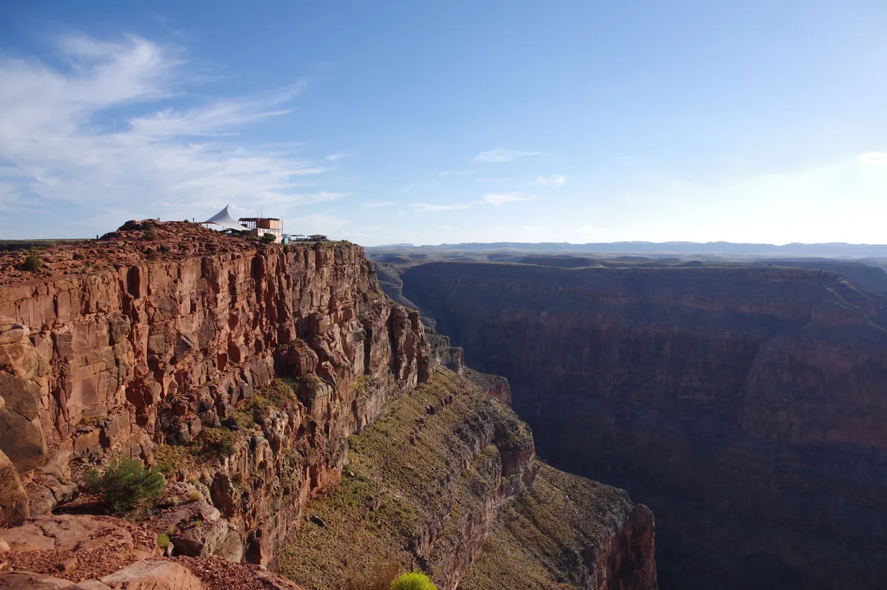
The west rim is mostly known for the SkyWalk that the Hualapai tribe setup so you can experience a walk over the edge of the Canyon safely and look down through its inches thick glass floor.
Now, this is the part where no photos are allowed so it is the one thing I cannot show.
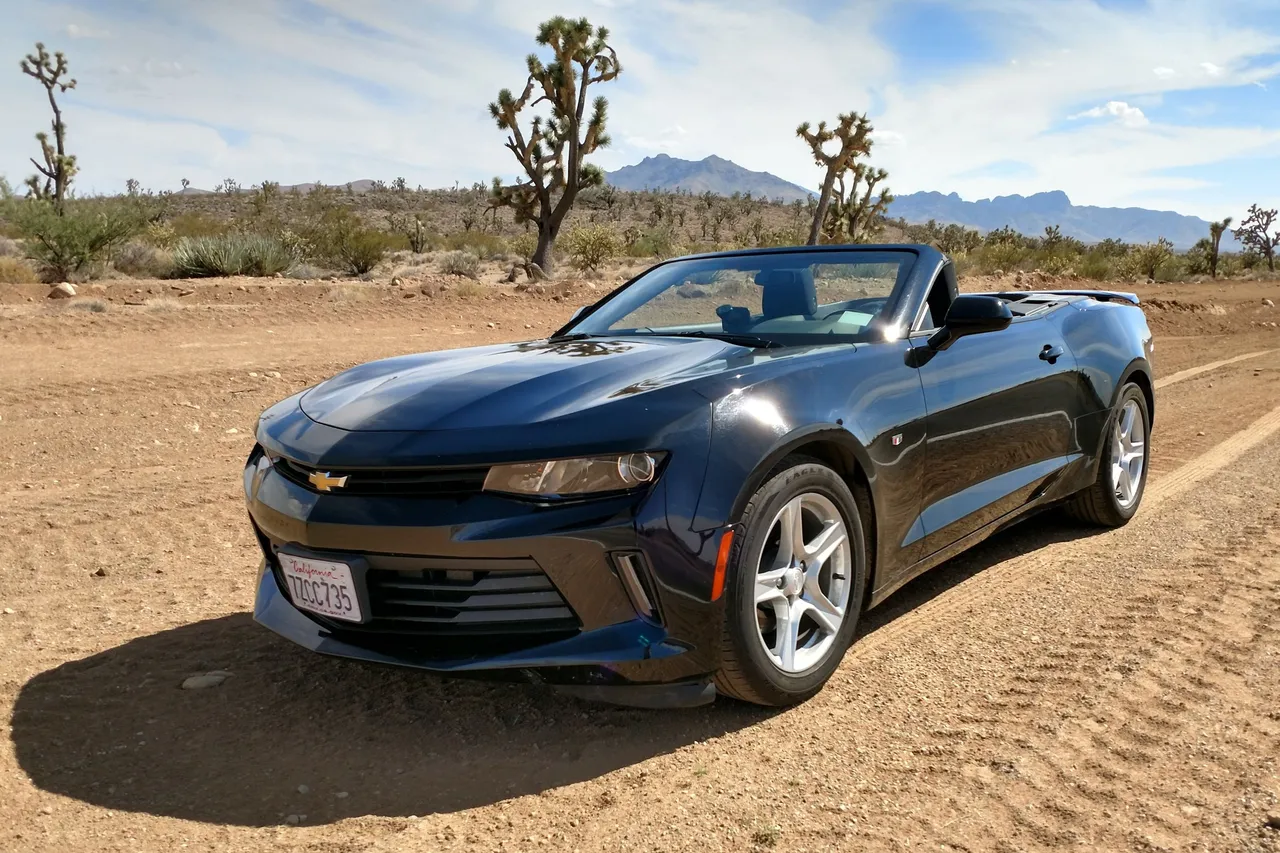
For this trip we rented a convertible for the day, So we picked up this Black (bad colour in heat!) Chevy Camaro, which was probably a questionable choice being this was mid-August! But a couple from Scotland who are as pale as they come, caution was thrown to the wind for us to experience a £40,000 270bhp sports car for a day! (my regular being a 1ltr Turbo with 95bhp!) So it was worth it for the fun, even if the roof remained up along the highway!
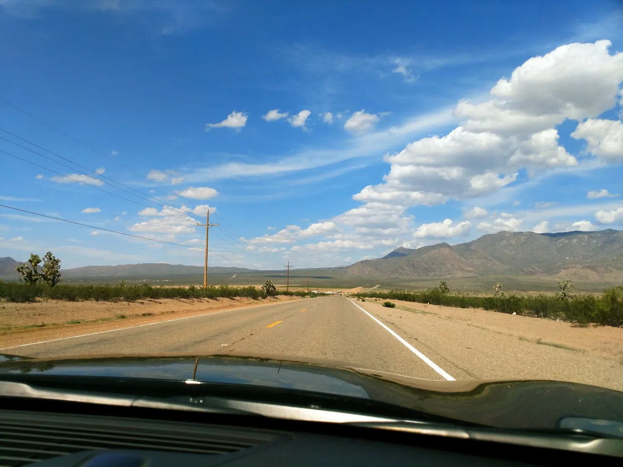
This being the view from the passenger seat as we drive towards the west ridge.
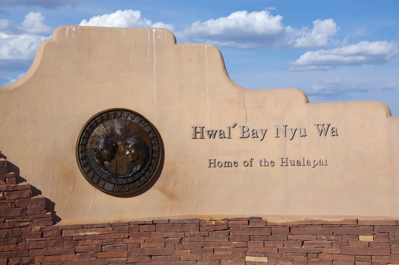
As mentioned before, this area is within the Hualapai Reservation, with the land and the Skywalk all belonging to the Hualapai people.
The meaning of the name in English is said to be "People of the Tall Pines" as it relates to an area along the Colorado river where these trees reside.
Eagle Point
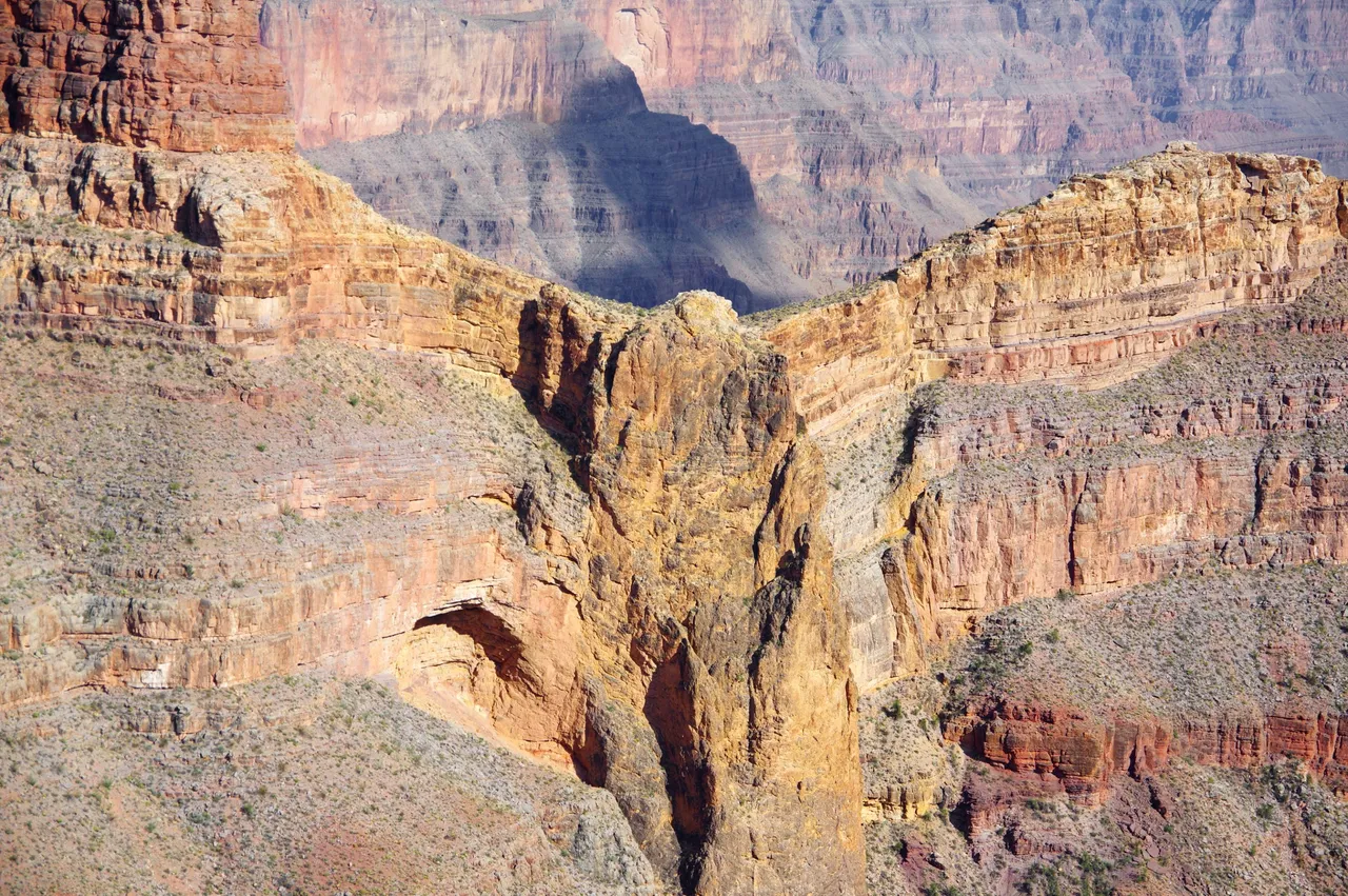
Eagle Point takes its name from the way this Canyon formation has shaped itself over the years, giving the impression of the bird's body and wings imprinted into it.
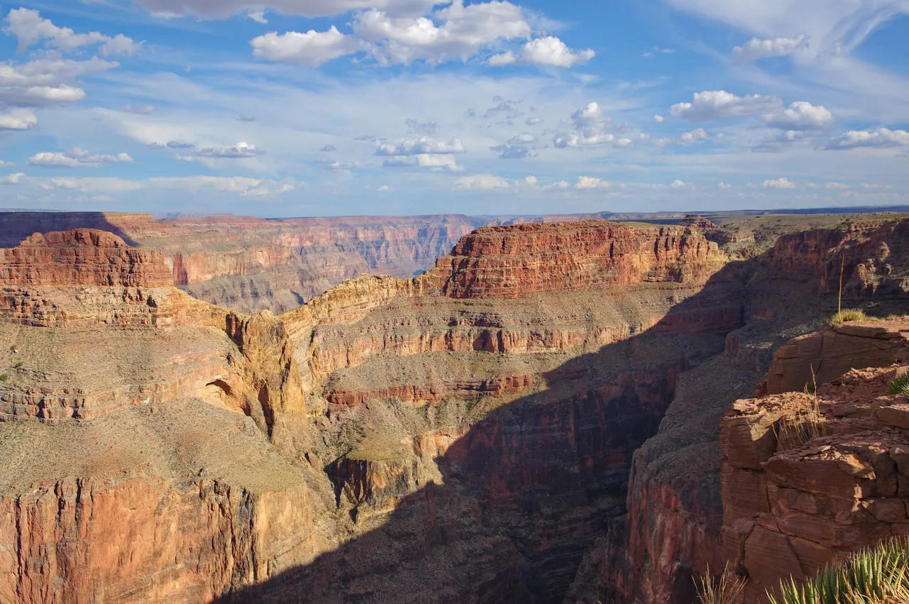
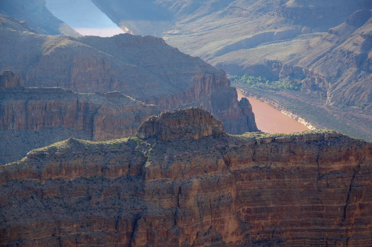
Looking towards the Skyring
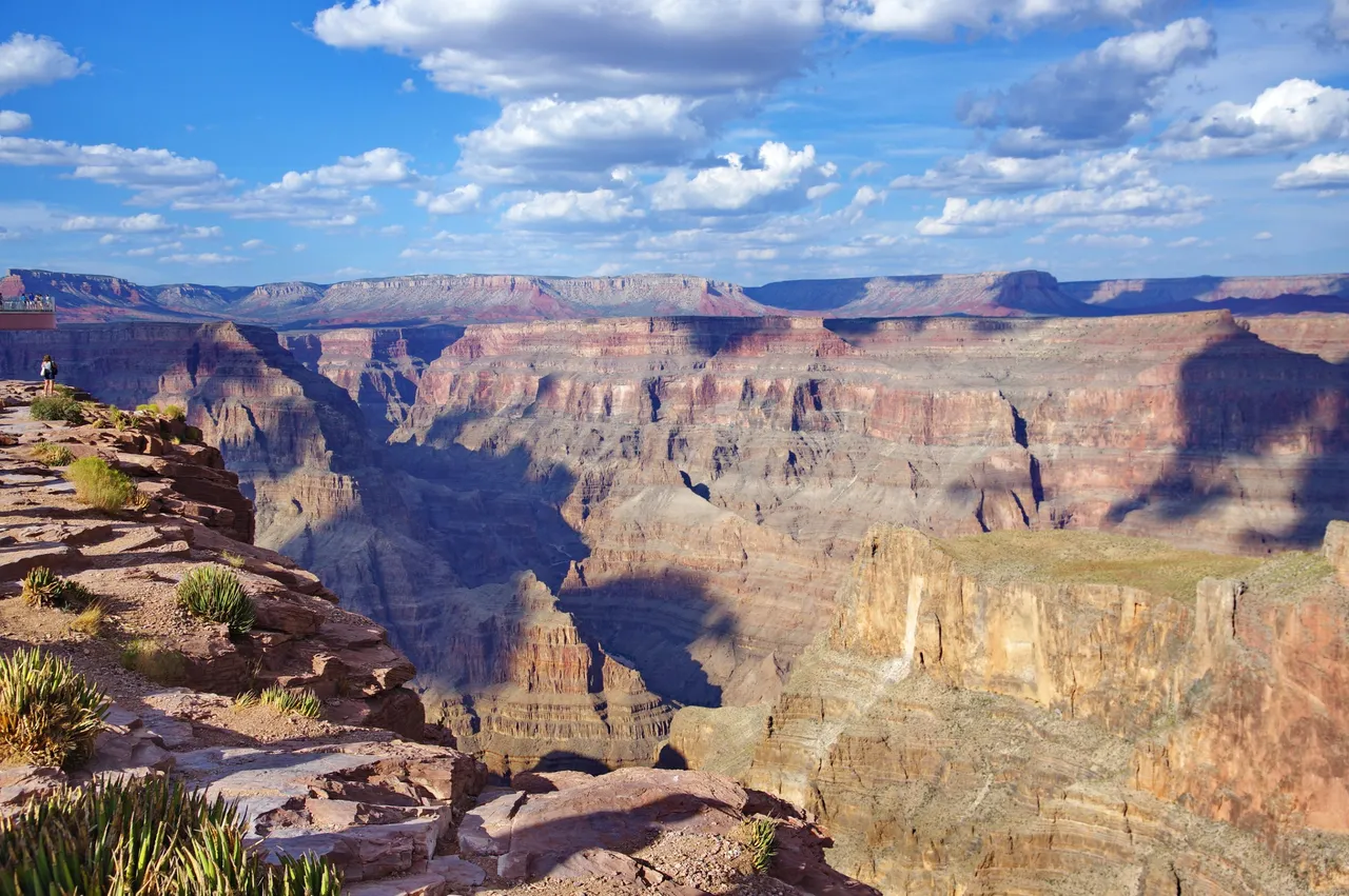
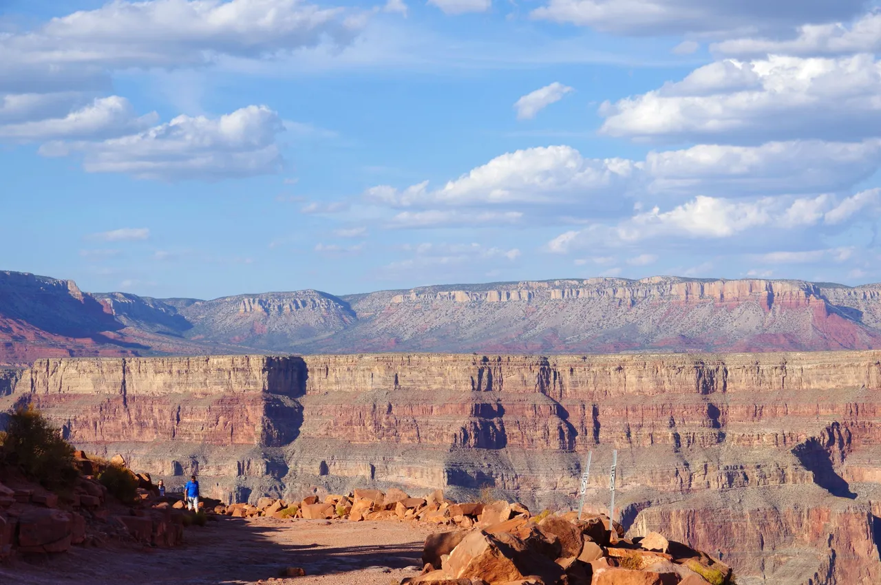
I don't think the photos can do justice to the vast scale of the Canyon,
even if the West rim is the smaller section of it compared to the South Side for the national park!
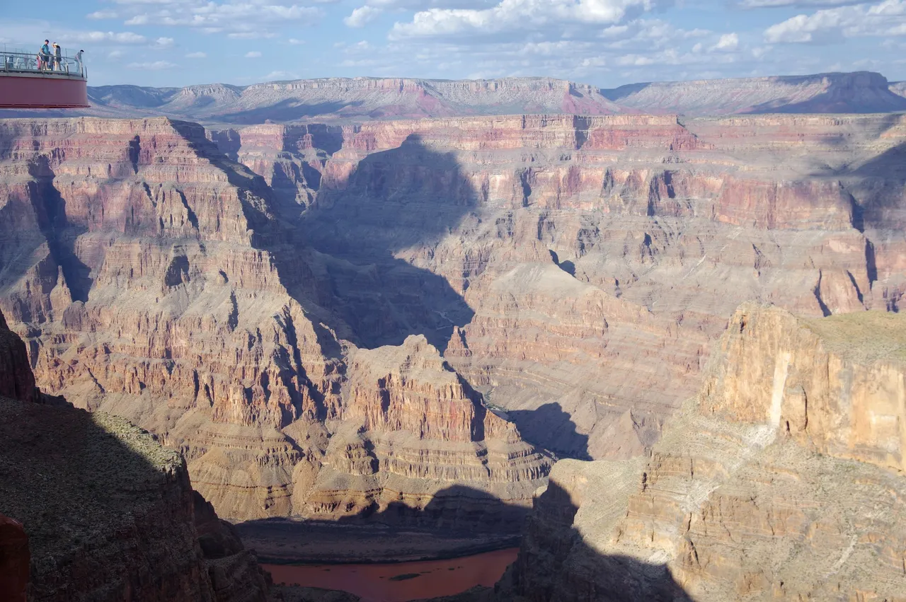
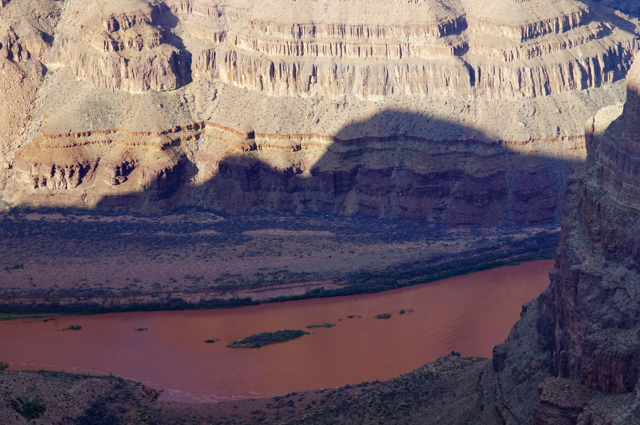
But it might give an idea of how high up we are at this point compared to where the river runs through it.
Guano Point
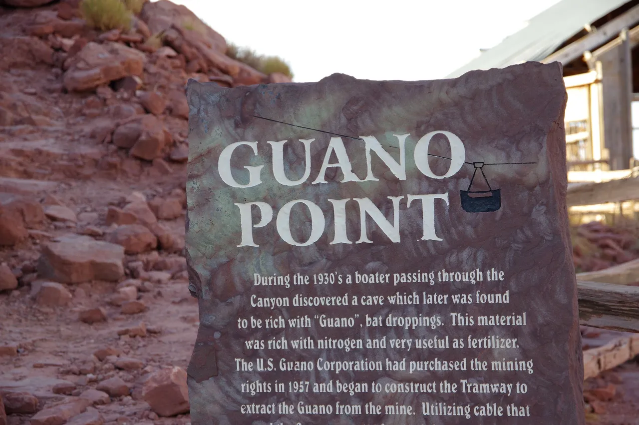
This area happened to be a mining area as the sign states from the 1930s Although the thought of it being bat poo is a bit different!
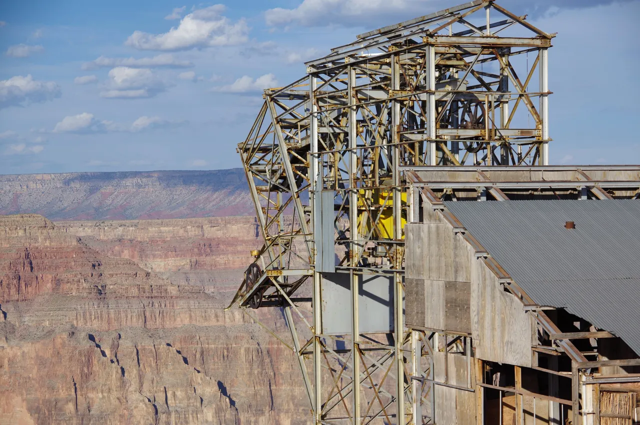
The tramway junction area is still in place at the point, and I'm not sure if the reasons for it still remaining are due to potential damage it might do if removed or if it gives something extra for visitors to see.
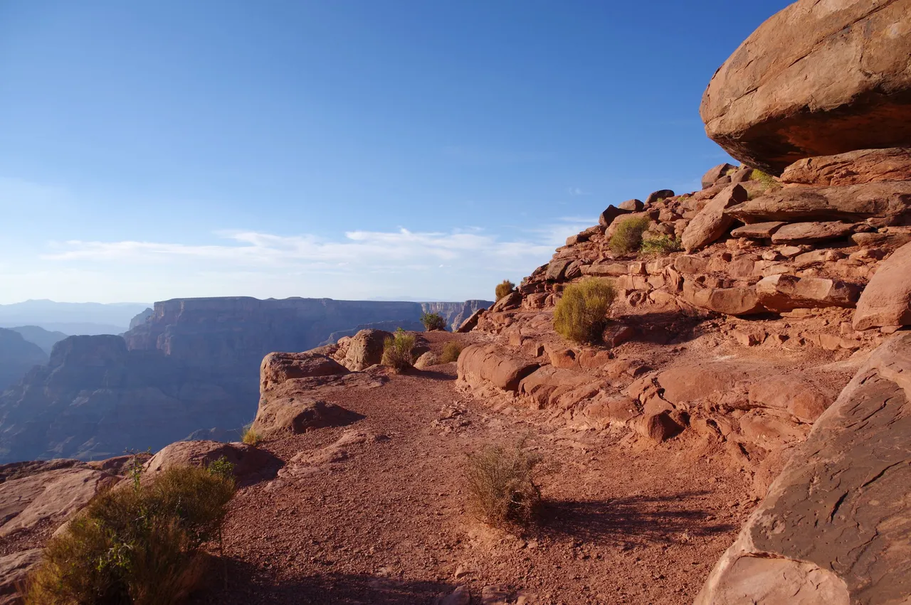
The walk down to the Point is worth it though as the views are again wonderful
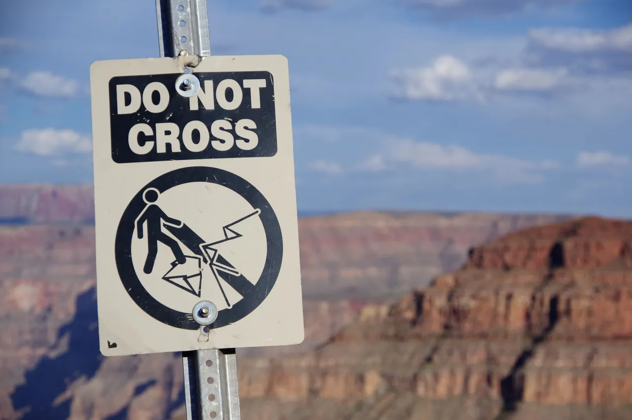
But do believe what the signs are saying, as they have not put any fencing up at all, so if you go near the edge, you can slide down to the bottom, and it's a long way down!
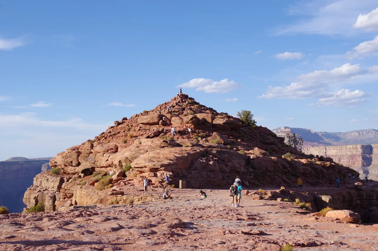
This mound area is something you can go up and it does take a visit to the tramway first to get there, but it is worth it.
This was my second visit there, the first time with family many years ago, including when the entire road to the West Rim was still dust track roads, so it was good to go back and explore in more without having to rush
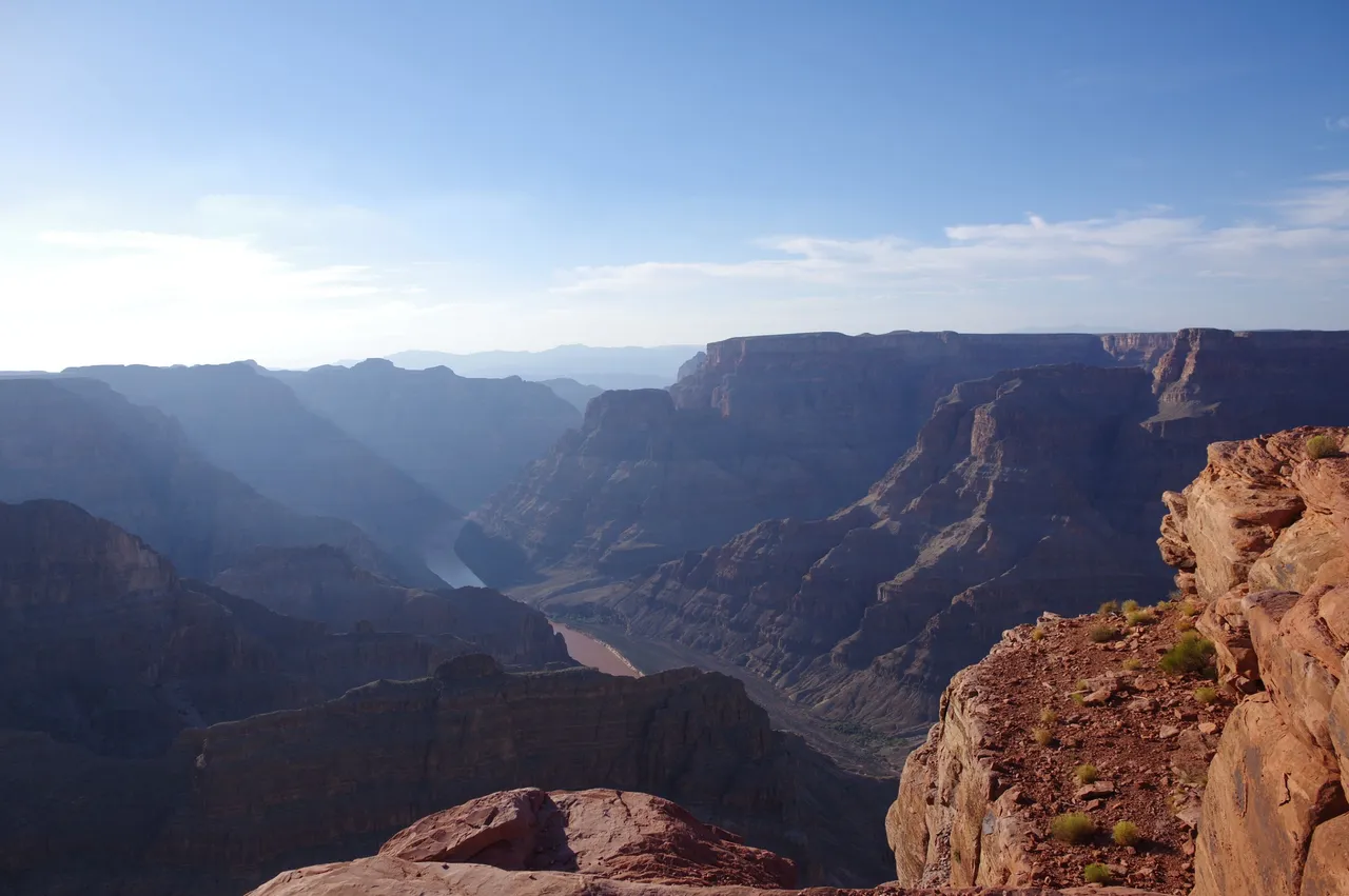
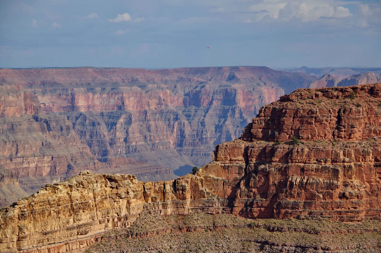
But I will end it with one final look over the River that runs through.