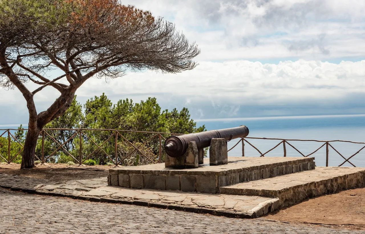
On Porto Santo we decided to take a not-so-long hike up the Pico do Castelo mountain. It is situated right in the middle of the island and should provide you with some nice views over the island, that's what we were hoping at least. The road you can take takes you halfway up to the mountain and you need to clear the remainder of the way by hiking up to the top. In the parking lot, you can find some old cannons.
The internet told me that expect a lot of people there. Well, there was not a single soul that I could see on the trail or the parking lot. So I'm not very sure about the crowd statement you can find on the internet.
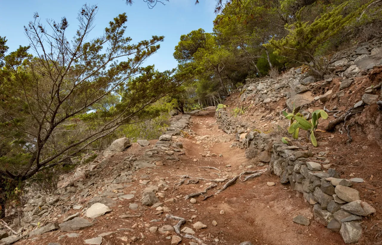
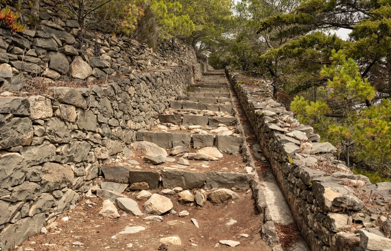
It takes about 25 minutes to hike from the parking lot to the top of Pico do Castelo. Distance is quite short but the trail zig-zags up the mountain and you only ascend. That makes it a bit hard and tiring. There are a lot of stairs. I would prefer just a path without stairs. I feel like stairs exhaust me more than a regular uphill trail.
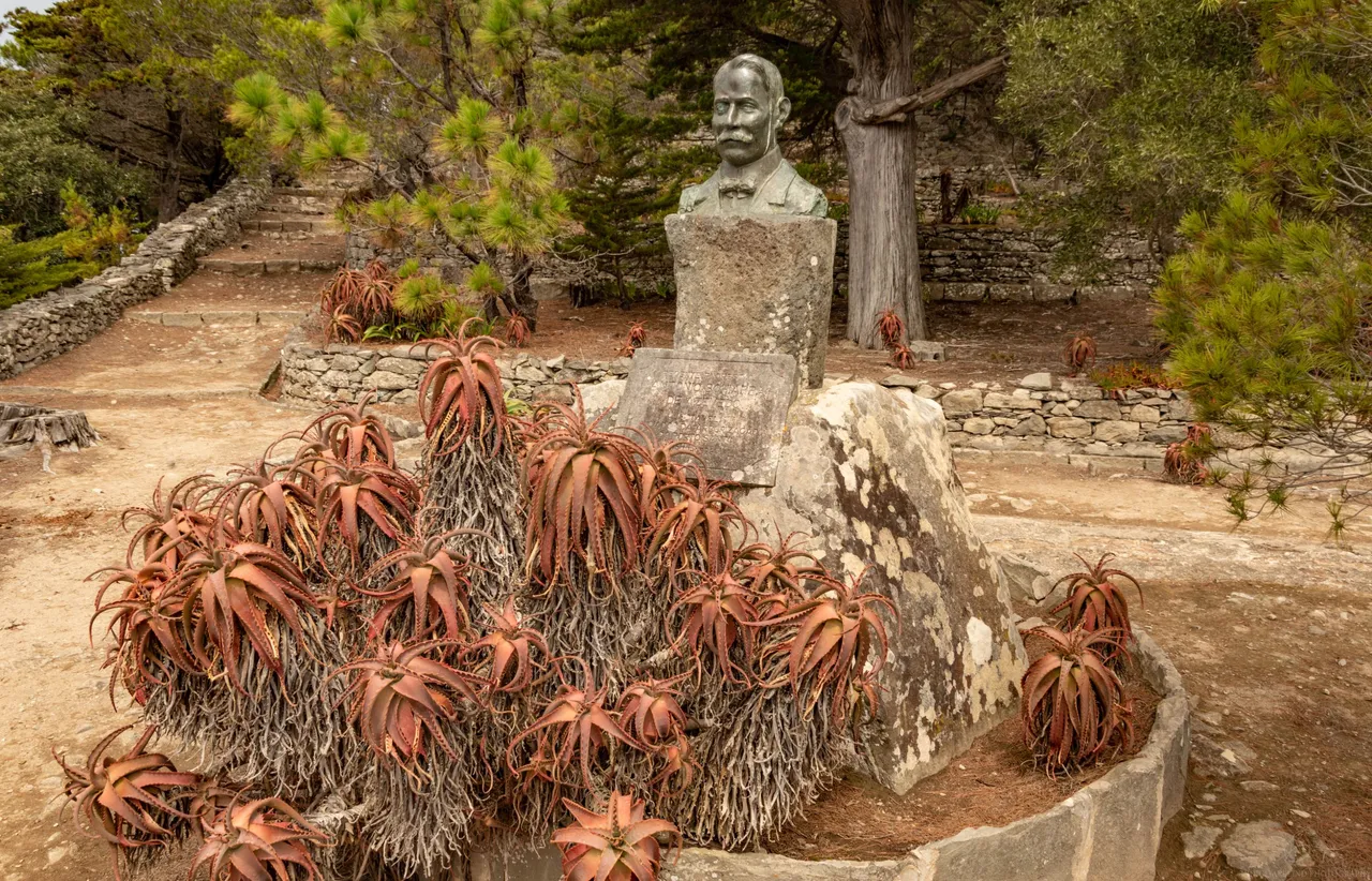
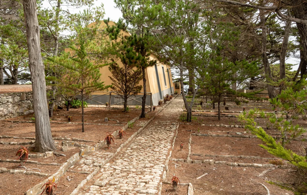
At the midway point, you can see a statue of a man who tried to re-forest this mountain. All the trees you see on this mountain are his handiwork.
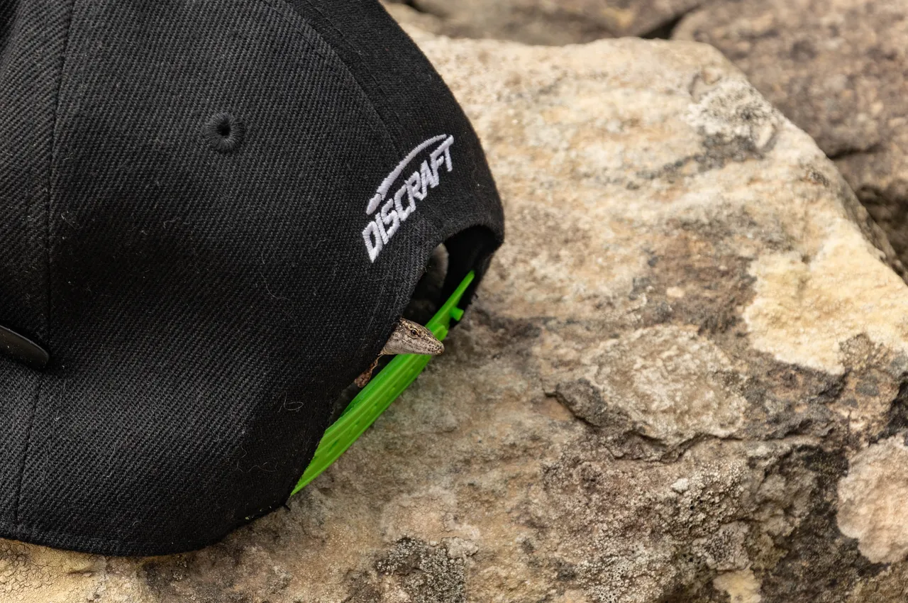
Just like in Madeira, also in Porto Santo, lizards are everywhere. One climbed inside my cap 😅.
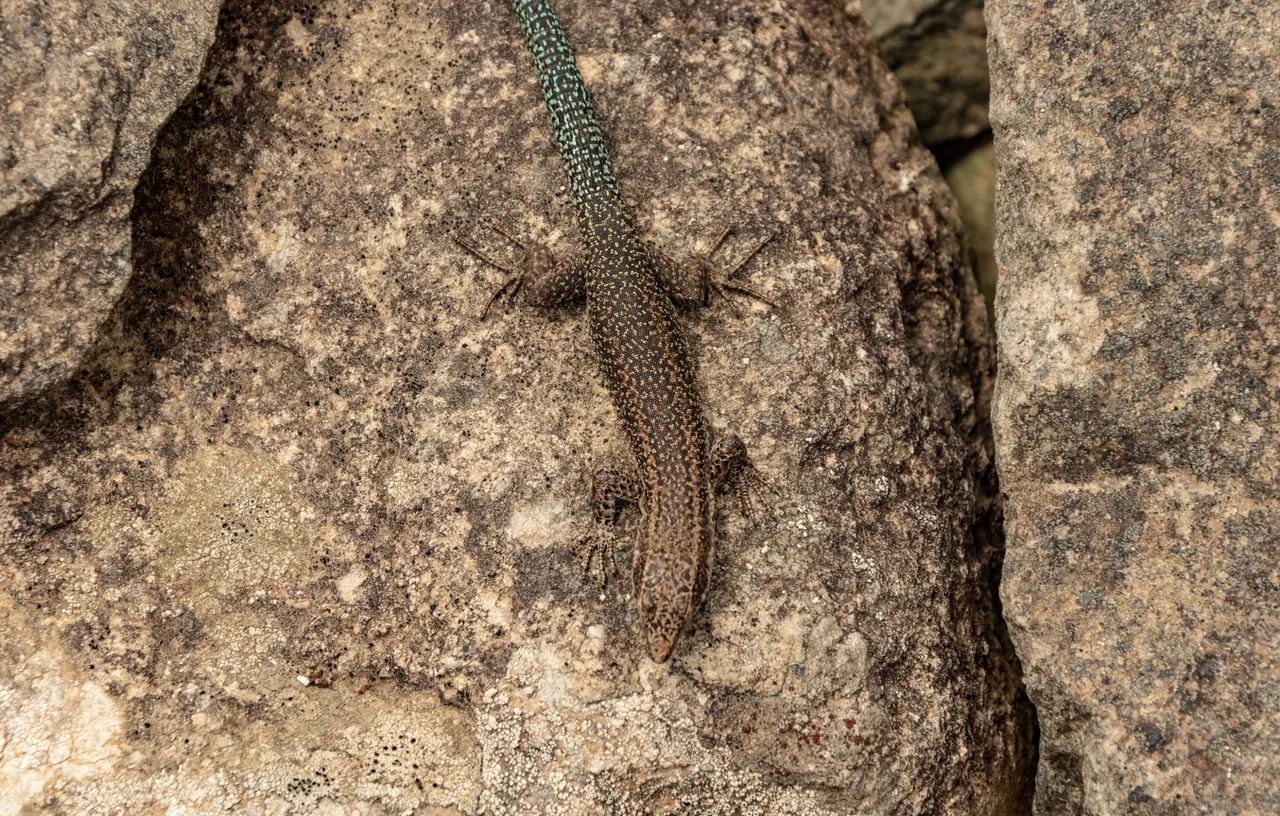
A real camo mode on these rocks.
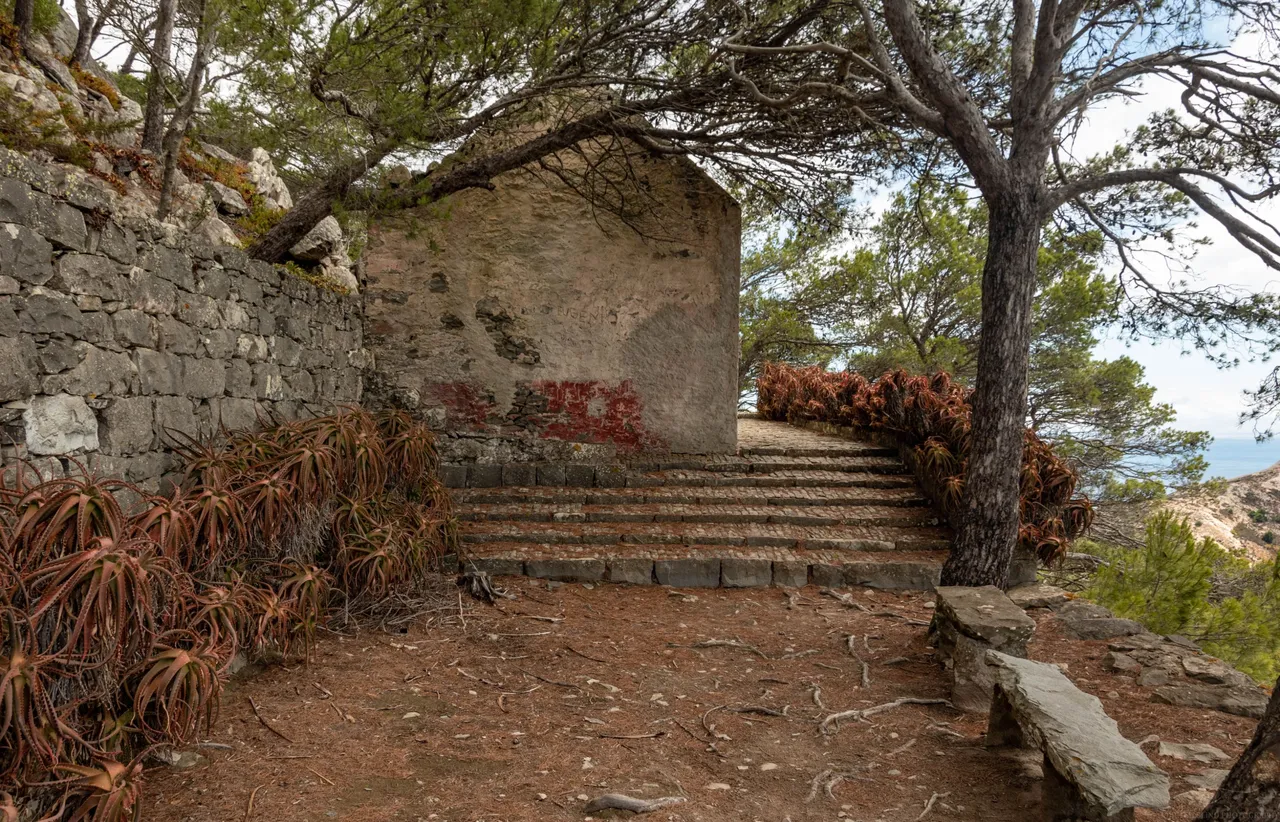
Finally, we were up there. The mountain name seems to suggest there is a castle but there really isn't, some older cascades only. There is some building but I'm not really sure what the purpose of it is. Here are some photos from the summit.
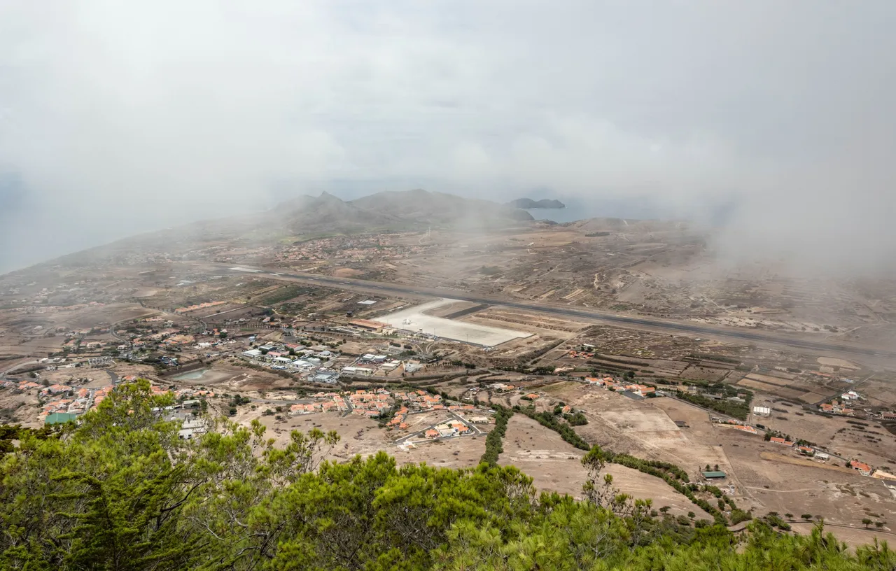
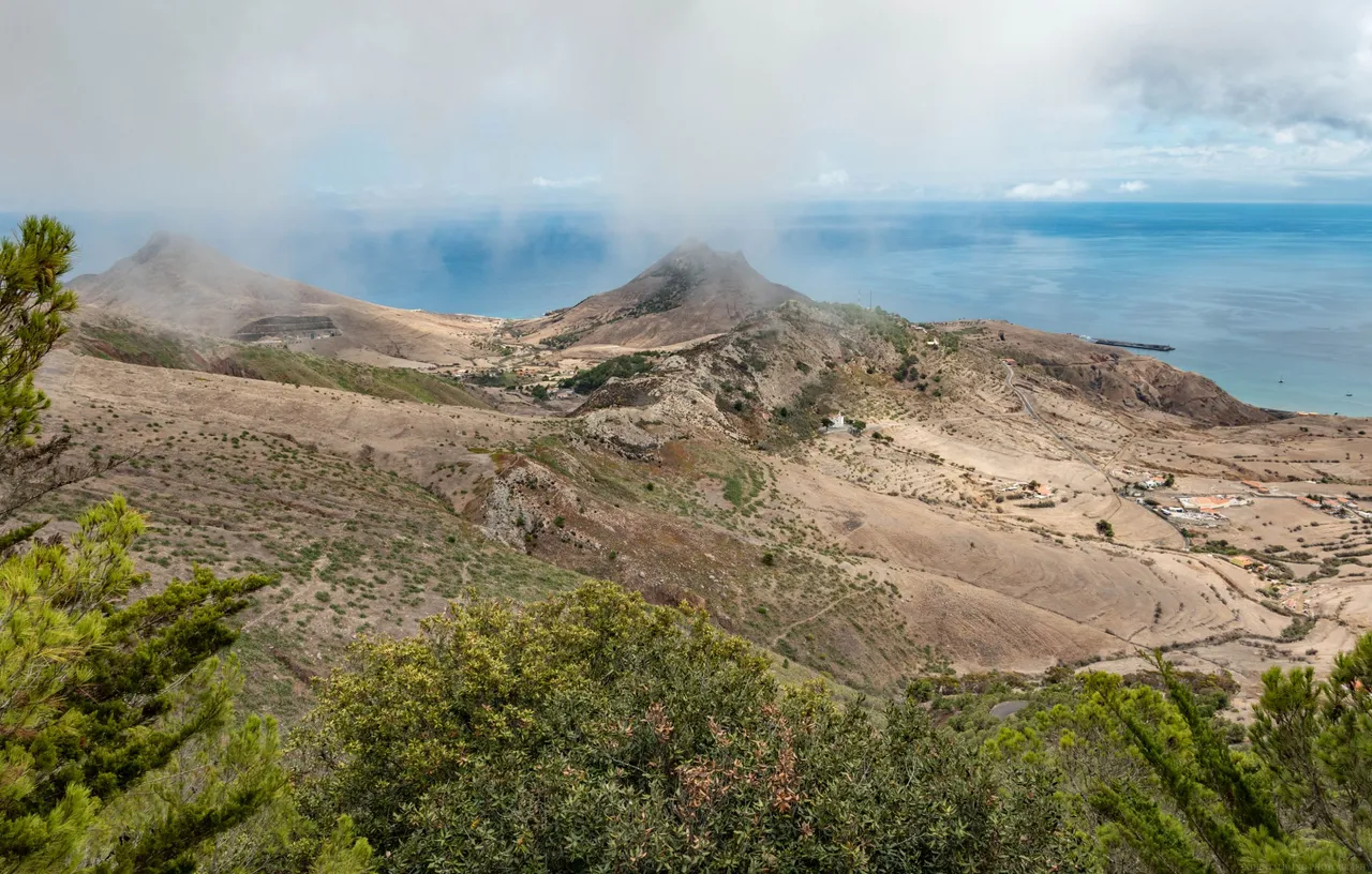
Unfortunately, clouds rolled in and we were totally inside these so we were unable to see anything. By that I mean the views over the island. Sometimes there were some holes in the clouds and I quickly snapped the picture. Here are some photos of the views.
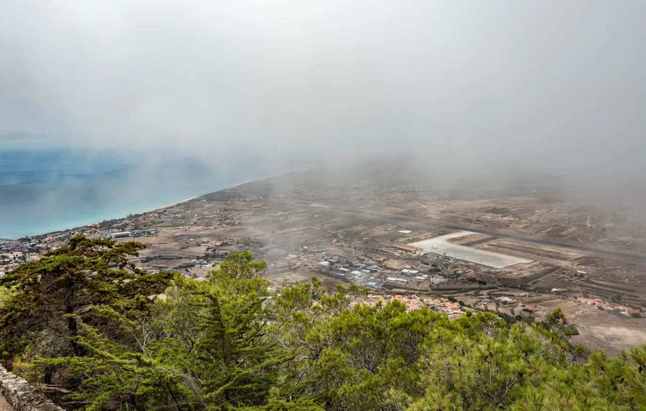
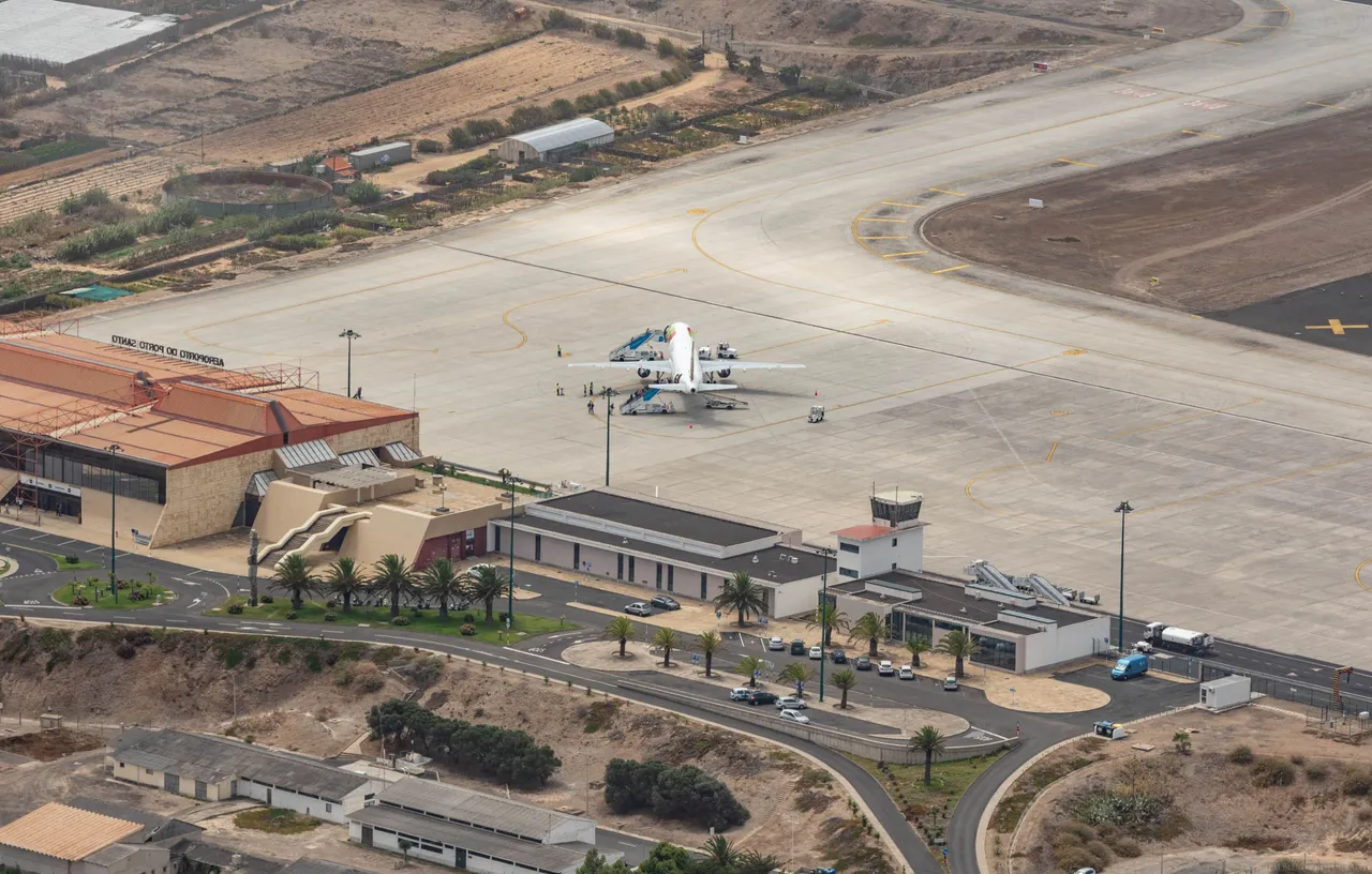
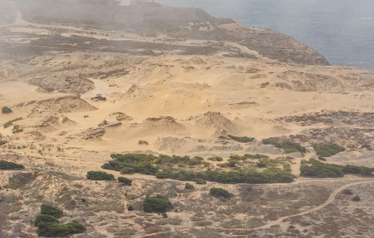
You can see the airport down there in the photos. This airport stretches almost all of the width of the island.
Area of sand dunes. We visited this place the next day close up.
Here you can see the mountain we hiked to find the caves, I made a post about it a week ago.
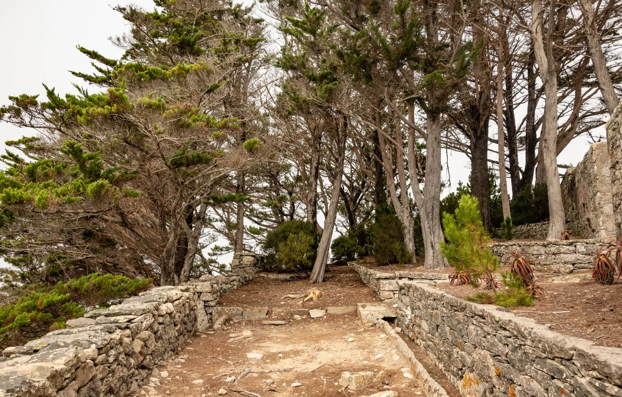
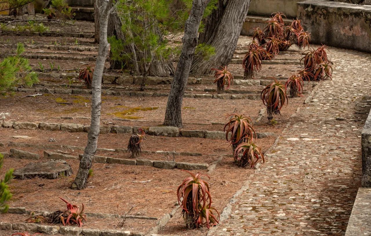
Does anybody know what are these plants we saw up in the mountain there?
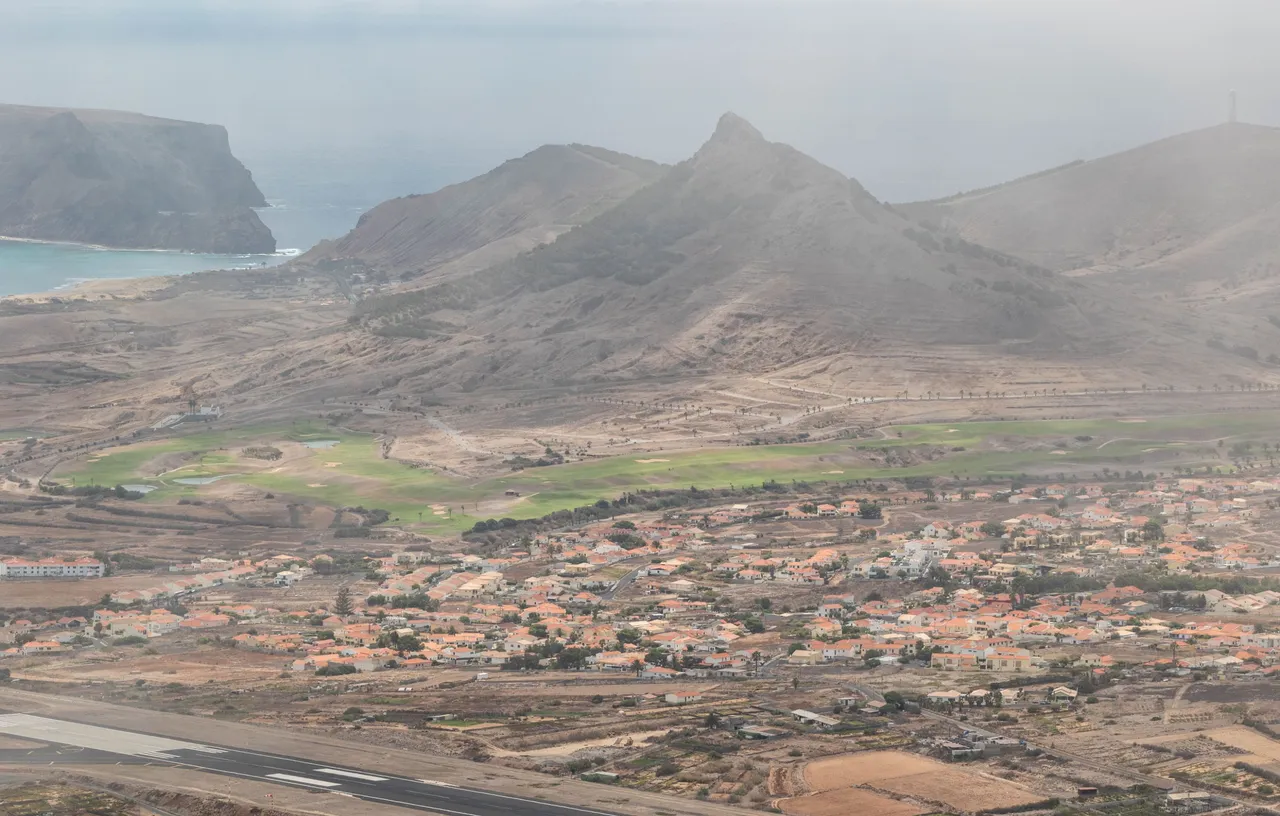
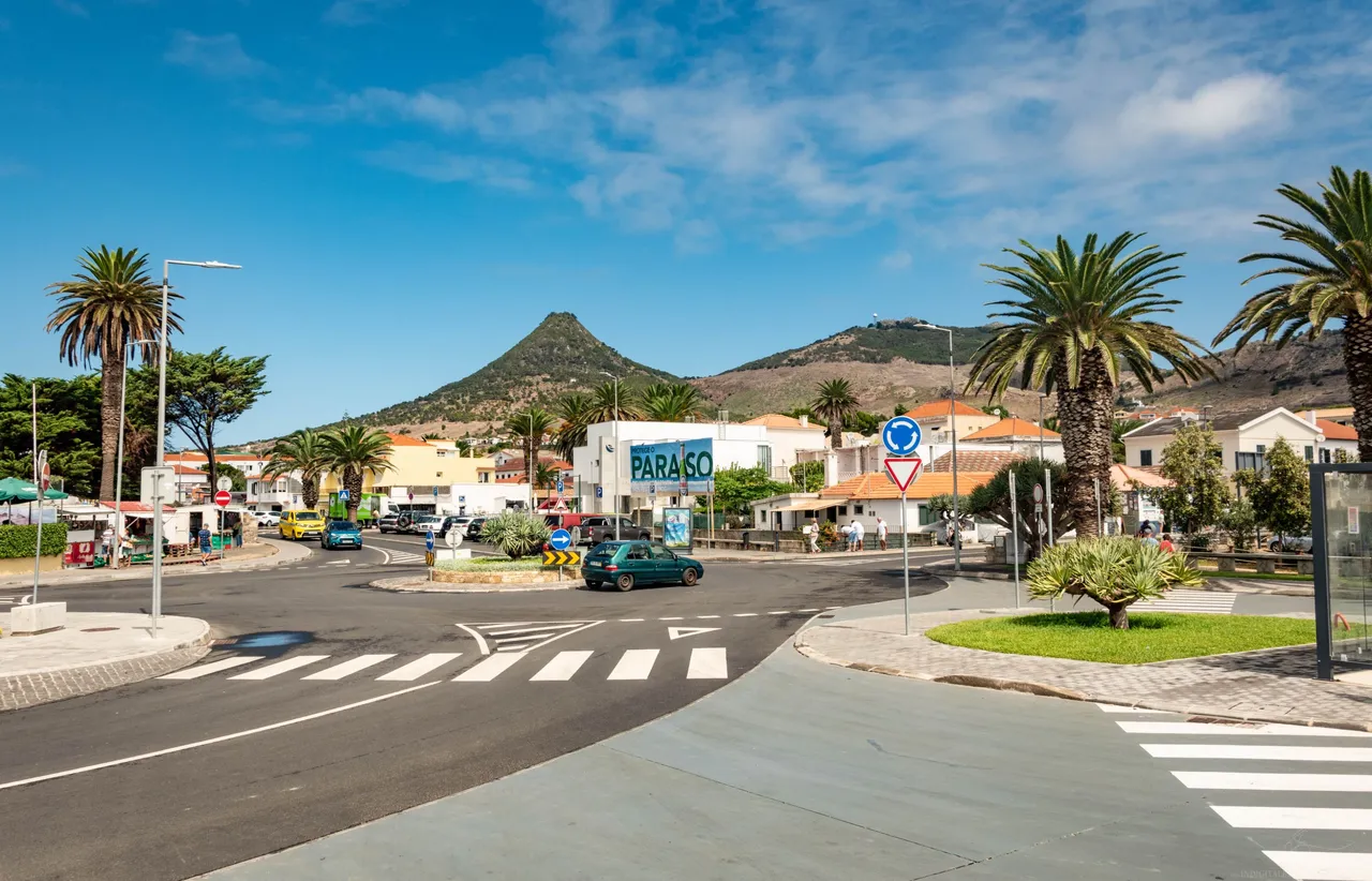
The mountain itself is only 350m above sea level, which doesn't sound really high but the sea level is where this island is located so it does look like a mountain. I have already uploaded this photo previously but this is the same mountain as seen from the town below.
Overall I think it was worth it to go up there and get another perspective to see of this island. If you have some time to spend when traveling this island then I would recommend it. It was not the best hike on the island tho, I will post about it sometime soon.
Don't forget to participate in my monthly weather guessing game here and you might win 10 HIVE. The game is open until the 17th of May.