https://wiki.pathfindersonline.org/w/AY_Honors/Orienteering/Answer_Key/es
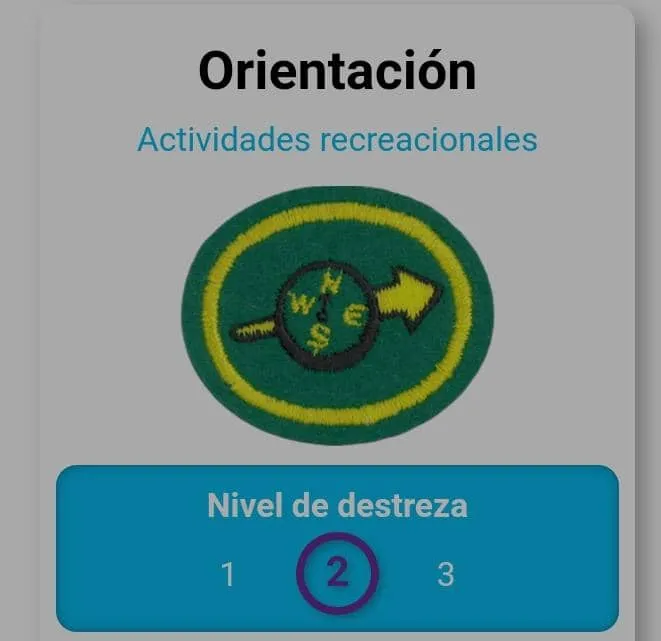
Among the many specialties you can learn at the Club is the Orienteering specialty, which is taught in the Explorer class within the curriculum.
Specialty Questions
- Explain what a topographic map is, what is expected to be found on it, and three uses for it.
- Identify at least 20 signs and symbols used on topographic maps.
- Give the nomenclature of an orienteering compass.
- Know the meaning of the following terms:
- Elevation
- Contour lines (isoline)
- Magnetic north
- Declination
- Scale
- Bearing
- Back-azimuth
- True north
- Azimuth
- Distance
- Earth shapes
- Demonstrate how to find the magnetic azimuth.
- Demonstrate how to walk with a magnetic azimuth.
- Know two methods to correct for declination.
- Be able to orient yourself and a map, by inspection and by compass.
- Explain triangulation and its use.
- Demonstrate your ability to use a map and/or compass by following a one-mile (1.6 km) cross-country course with a minimum of five reading points or checkpoints.
You can follow them on their social media.
https://www.facebook.com/guiasmayoresiglesiagranjas5
Don't forget to support the Pathfinder ministry, you can do this by delegating HP to the account @conquishiveplus or following the trail.
You can also ask if there is a Pathfinder Club at the nearest Adventist church and support them.
#conquishive #iasd #club #pathfinder
#versionespañol
Entre las muchas especialidades que puedes aprender en el Club se encuentra la especialidad de Orientación ,dentro del currículum de clases es impartida en la clase de Explorador.
Preguntas de la especialidad
- Explicar qué es un mapa topográfico, lo que se espera encontrar en él y tres usos de él.
- Identificar al menos 20 signos y símbolos utilizados en los mapas topográficos.
- Dar la nomenclatura de una brújula de orientación.
- Conocer el significado de los siguientes términos:
- Elevación
- Curvas de nivel (isolínea)
- Norte magnético
- Declinación
- Escala
- Medición
- Retro-acimut
- Norte verdadero
- Acimut
- Distancia
- Formas de la tierra
- Demostrar cómo encontrar el acimut magnético.
- Demostrar la manera de andar con un acimut magnético.
- Conocer dos métodos para corregir la declinación.
- Ser capaz de orientarse por sí mismo y un mapa, por inspección y por una brújula.
- Explicar la triangulación y su uso.
- Demostrar su habilidad en el uso de un mapa y/o una brújula, siguiendo el curso de una milla (1.6 km) a campo traviesa con un mínimo de cinco puntos de lectura o puntos de control.
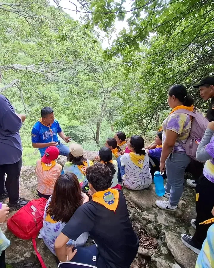
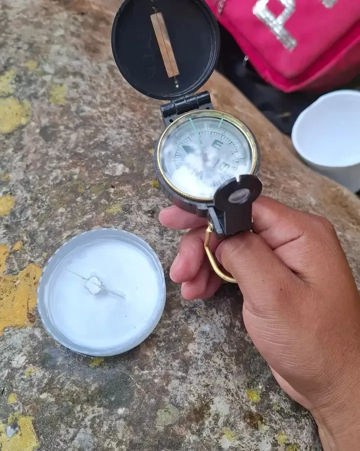
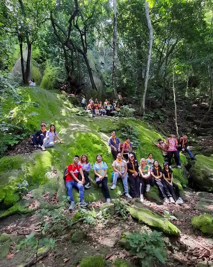
Les dejo algunas imagenes del este club aprendiendo la especialidad
puedes seguirlos en sus redes sociales.
https://www.facebook.com/guiasmayoresiglesiagranjas5
No olvides apoyar al ministerio de conquistadores ,puedes hacerlo delegando HP a la cuenta @conquishiveplus o siguiendo el trail.
También puedes preguntar si en la iglesia adventista mas cercana existe un club y apoyarlos.